Blackland TX · ← All the original surveys
John C. McCuistion Survey, Abstract 539
- Granted to
- John C. McCuistion
- Kind of grant
- Headright, third classLand for later settlers, including the colonists of Mercer’s Colony.
- Land Office file
- Robertson 3rd class, file 65
- Acres
- 320
- Patented to
- David Seeley
- Patent
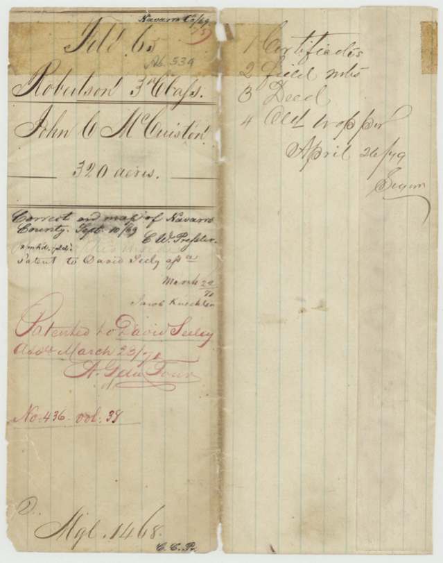
- 23 Mar 1871 · No. 436, Vol. 38
Tap a survey to open its page.
What the file shows
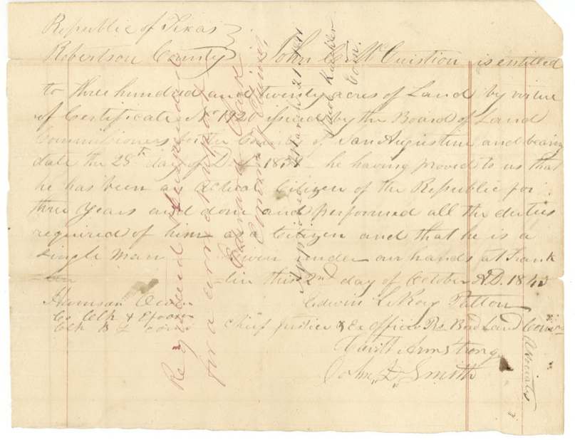
John C. McCuistion, a single man who emigrated in December 1839, received a conditional 320-acre third-class headright from the San Augustine County board on 28 December 1839, made unconditional at Franklin, Robertson County, on 2 October 1843. That same day he sold the certificate to David Seeley for $100. Robertson County surveyor C. C. Taylor located it in May 1844 on the waters of Richland Creek, about 19 miles southwest of Corsicana, between the Gray, Baxter, West and Seely surveys. The claim was suspended for decades, apparently over Mercer's Colony and a missing county report, and was finally approved and patented to David Seeley as assignee on 23 March 1871.
The certificate
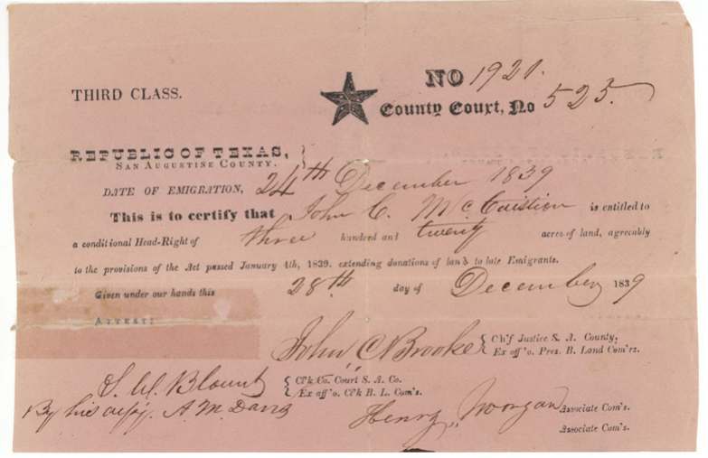
headright 3rd class, No. 1920 (County Court No. 525), 320 acres, Board of Land Commissioners, San Augustine County: John N. Brooke, Chief Justice; Henry Morgan, associate; attest S. W. Blount, clerk, by his deputy A. M. Davis, San Augustine County, 28 Dec 1839.
Conditional headright for a late emigrant under the Act of 4 Jan 1839; date of emigration 24 December 1839; 320 acres (single man's quantity)
Changes of hand
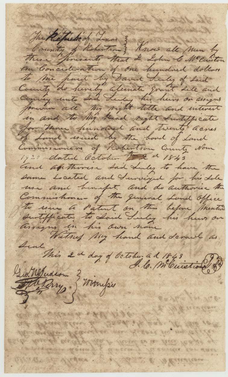
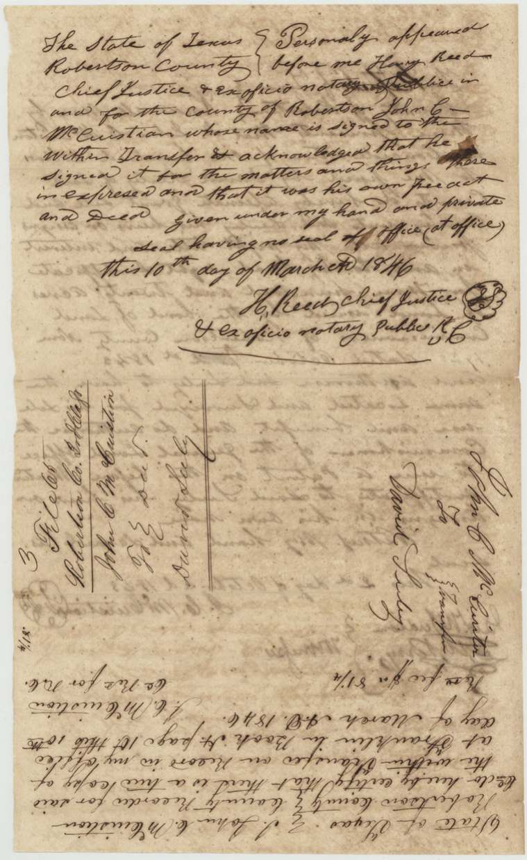
- 2 Oct 1843John C. McCuistion → David Seeley (Seely) of Robertson County, $100, Robertson County. Conveys his headright certificate No. 1920 and authorises Seeley to locate it and take patent in his own name. Recorded at Franklin, Book H(?) page 10, 10 Mar 1846, certified by J. C. McCuistion himself as County Recorder for Robertson County; recording fee $0.81 1/4.
The survey
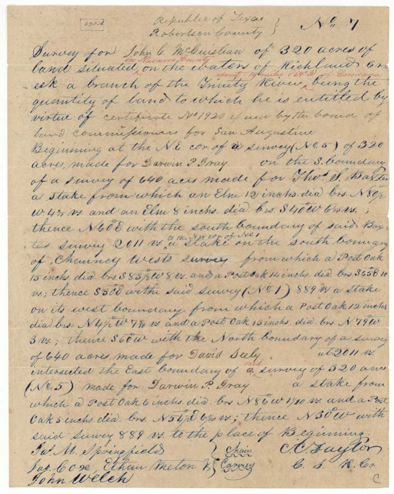
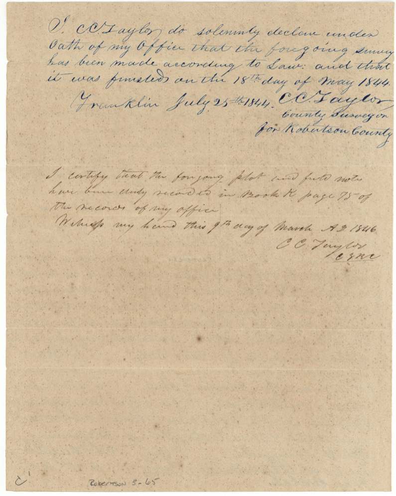
finished 1844-05-18; sworn at Franklin 1844-07-25, C. C. Taylor, County Surveyor, Robertson County.
Navarro County, on the waters of Richland Creek, a branch of the Trinity River, about 19 miles S 64 W of Corsicana
Chain carriers: Jas. M. Springfield, Jas. Coxe(?), Ethan Melton(?), John Welch.
Book K, page 75
The patent
23 Mar 1871, No. 436, Vol. 38, to David Seeley, assignee.
Also in the file
- John C. McCuistion was himself the Robertson County Recorder who certified the record of his own sale of the certificate.
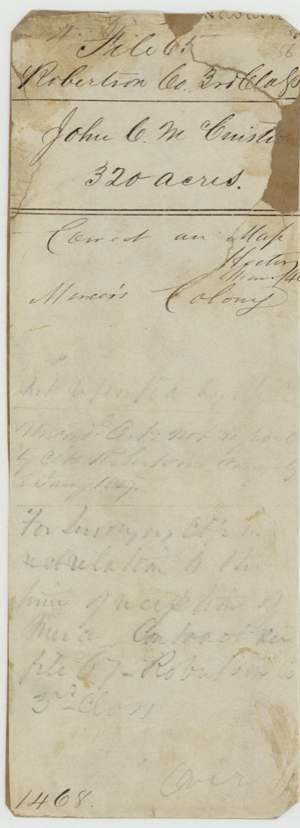
- The certificate was 'registered and suspended' by the Commissioner of Claims and again in 1859, apparently because the land fell inside Mercer's Colony and the unconditional certificate had not been reported by the county clerk; it was not approved until March 1871.
- Survey was finished in 1844 but the patent came 27 years later, in 1871, to the buyer David Seeley.
- The conditional certificate gives emigration as 24 Dec 1839, only four days before it was issued, and the act it cites was for 'late emigrants'.
- A chain carrier's name reads Ethan Melton (uncertain).
Timeline
- 24 Dec 1839John C. McCuistion's stated date of emigration to Texas
- 28 Dec 1839Conditional 3rd-class headright No. 1920 for 320 acres, San Augustine County
- 2 Oct 1843Unconditional certificate at Franklin, Robertson County; same day sells certificate to David Seeley for $100
- 18 May 1844C. C. Taylor finishes Survey No. 7 on Richland Creek waters
- 25 Jul 1844Taylor swears to survey at Franklin
- 9 Mar 1846Field notes recorded Book K p. 75
- 10 Mar 1846Transfer acknowledged before H. Reed and recorded at Franklin
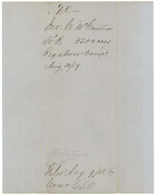
- 9 Aug 1858Filed in GLO
- 21 Jan 1859Registered and suspended
- 10 Sep 1869Checked correct on Navarro County map by C. W. Pressler
- 21 Mar 1871Approved by Commissioner Jacob Kuechler
- 23 Mar 1871Patent No. 436 Vol. 38 to David Seeley, assignee
The papers in the file
Every page of the Land Office file, in the order the Land Office keeps them (14 pages). Tap a page to see it larger.
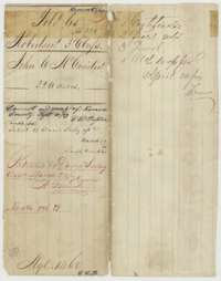 File jacketFile jacket for the John C. McCuistion headright, 320 acres, listing the certificates, field notes, deed and old wrapper.General Land Office, file 65, page 1 · in the scan
 CertificatePrinted conditional headright certificate No. 1920 for 320 acres, issued to John C. McCuistion by the San Augustine County land board, 28 December 1839.General Land Office, file 65, page 2 · in the scan
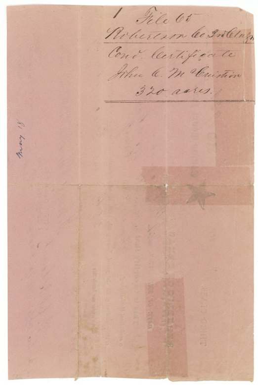
 WrapperFiling wrapper for the conditional certificate of John C. McCuistion, 320 acres, Robertson 3rd Class.General Land Office, file 65, page 3 · in the scan
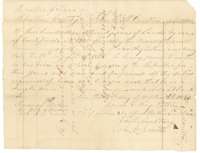 CertificateUnconditional certificate for 320 acres issued to John C. McCuistion at Franklin, Robertson County, 2 October 1843, as a single man.General Land Office, file 65, page 4 · in the scan
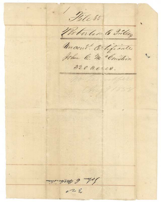
 WrapperFiling wrapper for the unconditional certificate of John C. McCuistion, 320 acres.General Land Office, file 65, page 5 · in the scan
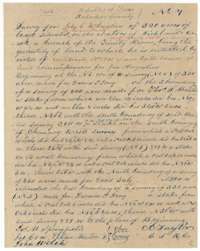 Field notesField notes of Survey No. 7, 320 acres for John C. McCuistion on Richland Creek, surveyed by C. C. Taylor, finished 18 May 1844.General Land Office, file 65, page 6 · in the scan
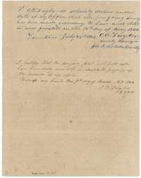 Surveyor's certificateC. C. Taylor's oath of 25 July 1844 on the survey, and his certificate of 9 March 1846 that it is recorded in Book K, page 75.General Land Office, file 65, page 7 · in the scan
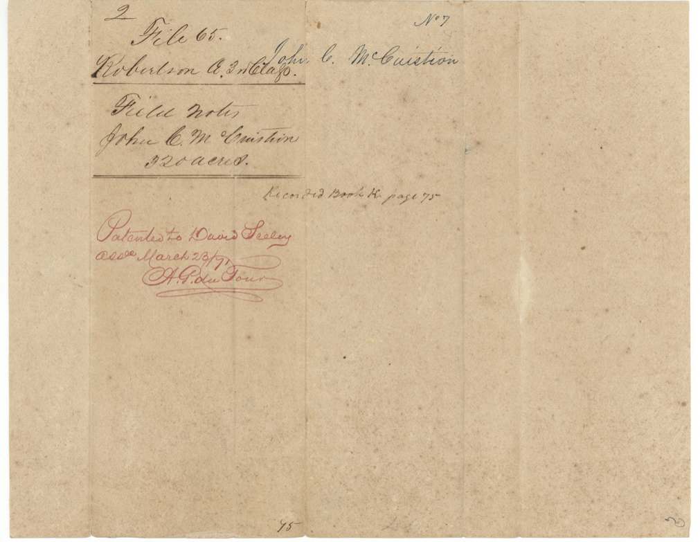
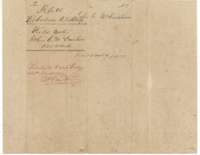 WrapperDocket wrapper for the field notes of 320 acres for John C. McCuistion, with a note of the patent to David Seely in March 1871.General Land Office, file 65, page 9 · in the scan
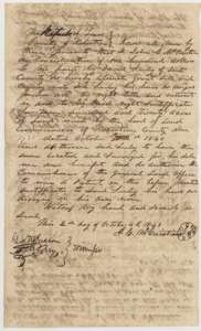 TransferDeed of 2 October 1843 in which John C. McCuistion sells his headright certificate for 320 acres to David Seely for $100.General Land Office, file 65, page 10 · in the scan
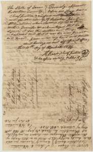 TransferAcknowledgment of the McCuistion deed before Chief Justice H. Reed on 10 March 1846, with the Robertson County recording certificate.General Land Office, file 65, page 11 · in the scan
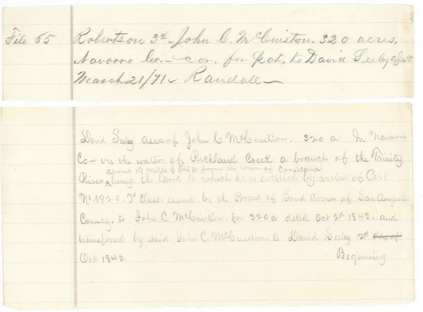
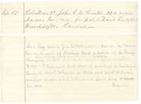 CorrectionLand Office slip of 21 March 1871 correcting the patent to David Seely, assignee, with a short description of the survey.General Land Office, file 65, page 12 · in the scan
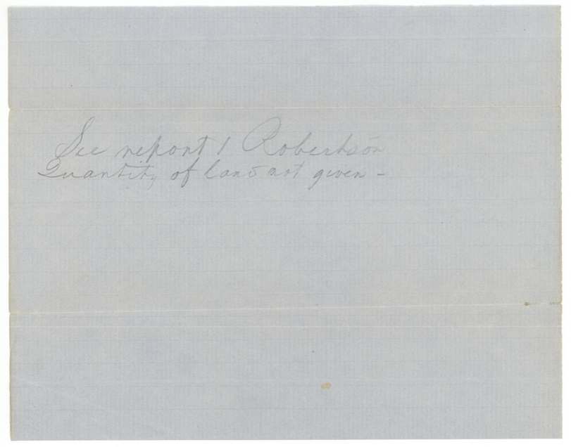
 Other papersA pencil note filed with the McCuistion papers, referring to a report from Robertson County.General Land Office, file 65, page 13 · in the scan
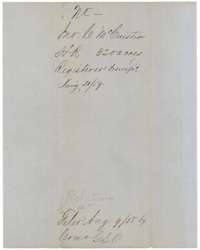 WrapperJacket slip for the McCuistion headright, 320 acres, noting it was registered and suspended in January 1859.General Land Office, file 65, page 14 · in the scan
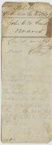 WrapperOld file wrapper for the McCuistion headright, 320 acres, with notes on Mercer's Colony and the missing county report.General Land Office, file 65, page 15 · in the scan
Scans courtesy of the Texas General Land Office, Austin, from its Land Grant Database.
Neighbouring surveys
Sources
- Texas General Land Office, Land Grant Database: Navarro County, Abstract 539
- The Land Office file, scanned (PDF, at the General Land Office)
- 1924 map: courtesy of the Texas General Land Office, Austin, Map 73249, used under licence. Topo: U.S. Geological Survey, The National Map. Aerial photographs: U.S. Department of Agriculture, National Agriculture Imagery Program, 2012, 2018 and 2022. Survey outlines: Railroad Commission of Texas, Original Texas Land Survey. Grant records and files: Texas General Land Office.