Blackland TX · ← All the original surveys
S. A. Kimbrel Survey, Abstract 455
- Granted to
- S. A. Kimbrel
- Kind of grant
- Headright, first classLand for settlers who were in Texas before independence, 2 March 1836.
- Land Office file
- Robertson 1st class, file 892
- Certificate
- No. 114
- Acres
- 320
- Patented to
- Heirs of S. A. Kimbrel
- Patent
- 25 Mar 1859 · No. 810, Vol. 11
Tap a survey to open its page.
What the file shows
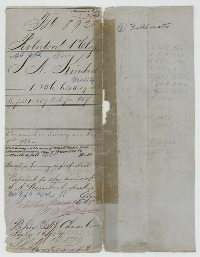
S. A. Kimbrel held headright certificate No. 114 from the Robertson County board, dated 1 March 1838 according to the field notes (the certificate itself is filed under Robertson 1st 857). On 18 September 1857 a deputy surveyor located 320 acres of it on the waters of Richland Creek, about 19 1/2 miles southwest of Corsicana, against the Navarro County school land and the Gray, McCrislan and Mary Smith surveys. The Land Office found it lay on a forfeited Thos. S. Baxter survey, passed it, and patented it (No. 810, Vol. 11) in March 1859 to Kimbrel's heirs, delivering it to B. J. Chambers in July 1859.
The certificate
headright 1st, No. 114, 320 located here (1,806,640 sq. varas); full certificate not in this file, Board of Land Commissioners for Robertson County, 1 Mar 1838.
Headright certificate (as described in the field notes); the certificate itself is in another file - jacket says 'See file 1-857 Rob. for Ctf.'
The survey
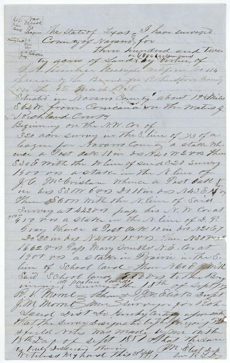
18 Sep 1857, J. M. Eliot(?), Deputy Surveyor, Robertson Land District.
Navarro County, about 19 1/2 miles S 64 W from Corsicana, on the waters of Richland Creek; all pasture land
Chain carriers: R. V. Moore, J. M. Moore.
Book U, page 217
The patent
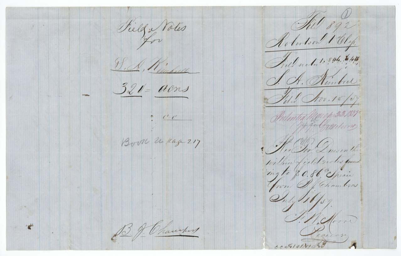
25 Mar 1859, No. 810, Vol. 11, to Heirs of S. A. Kimbrel, deceased, delivered to B. J. Chambers, 16 July 1859.
Also in the file
- The survey was laid on ground already mapped as a Thos. S. Baxter survey; the Land Office ruled the Baxter survey forfeited and let this one go to patent.
- Kimbrel had died by 1859, so the patent issued to his heirs; the papers were taken out by B. J. Chambers.
- The surveyor spells the name 'Kimbeel' and the plat 'Kimbler'.
- The certificate behind the survey is filed elsewhere (Robertson 1st 857), and another survey on the same certificate is Robertson 1st 936.
Timeline
- 1 Mar 1838Robertson County board issues headright certificate No. 114 to S. A. Kimbrel (per field notes)
- 18 Sep 1857320 acres surveyed on Richland Creek waters, 19 1/2 miles SW of Corsicana
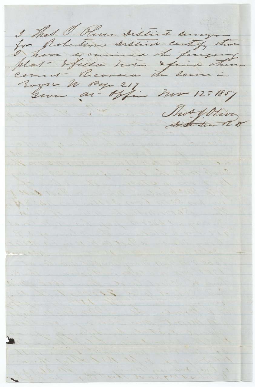
- 12 Nov 1857District Surveyor Oliver records field notes, Book U p. 217
- 15 Nov 1857Field notes filed in General Land Office
- 4 Mar 1859Map check finds overlap with forfeited Thos. S. Baxter survey
- 25 Mar 1859Patent No. 810 Vol. 11 issued to heirs of S. A. Kimbrel
- 16 Jul 1859Patent delivered to B. J. Chambers, who paid $0.86 fees
The papers in the file
Every page of the Land Office file, in the order the Land Office keeps them (5 pages). Tap a page to see it larger.
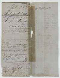 File jacketFile jacket for S. A. Kimbrel's 320 acres on Richland Creek, a Robertson First Class headright patented to his heirs in March 1859.General Land Office, file 892, page 1 · in the scan
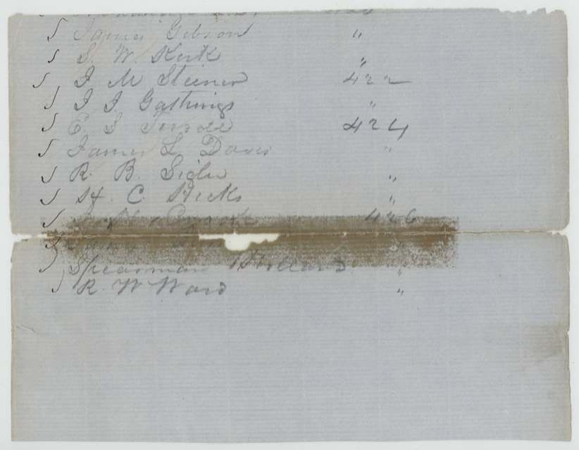
 Other papersA list of names with file numbers, written on a sheet kept in the Kimbrel file.General Land Office, file 892, page 2 · in the scan
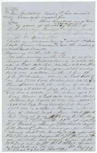 Field notesField notes and plat for 320 acres on Richland Creek, surveyed 18 September 1857 for S. A. Kimbrel on headright certificate No. 114.General Land Office, file 892, page 3 · in the scan
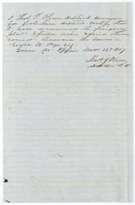 Surveyor's certificateDistrict surveyor Thomas J. Oliver's certificate of 12 November 1857 that the Kimbrel field notes were examined and recorded in Book U, page 217.General Land Office, file 892, page 4 · in the scan
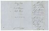 WrapperField-notes wrapper for S. A. Kimbrel's 320 acres, filed 15 November 1857, with the patent note and a fee receipt of July 1859.General Land Office, file 892, page 5 · in the scan
Scans courtesy of the Texas General Land Office, Austin, from its Land Grant Database.
Neighbouring surveys
Sources
- Texas General Land Office, Land Grant Database: Navarro County, Abstract 455
- The Land Office file, scanned (PDF, at the General Land Office)
- 1924 map: courtesy of the Texas General Land Office, Austin, Map 73249, used under licence. Topo: U.S. Geological Survey, The National Map. Aerial photographs: U.S. Department of Agriculture, National Agriculture Imagery Program, 2012, 2018 and 2022. Survey outlines: Railroad Commission of Texas, Original Texas Land Survey. Grant records and files: Texas General Land Office.