Blackland TX · ← All the original surveys
G. R. Wheelock Survey, Abstract 824
- Granted to
- G. R. Wheelock
- Kind of grant
- Headright, first classLand for settlers who were in Texas before independence, 2 March 1836.
- Land Office file
- Robertson 1st class, file 855
- Certificate
- No. 14
- Acres
- 885.50
- Patented to
- G. R. Wheelock
- Patent
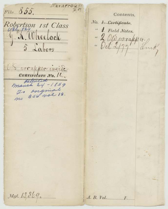
- 24 Mar 1859 · No. 356, Vol. 13
Tap a survey to open its page.
What the file shows
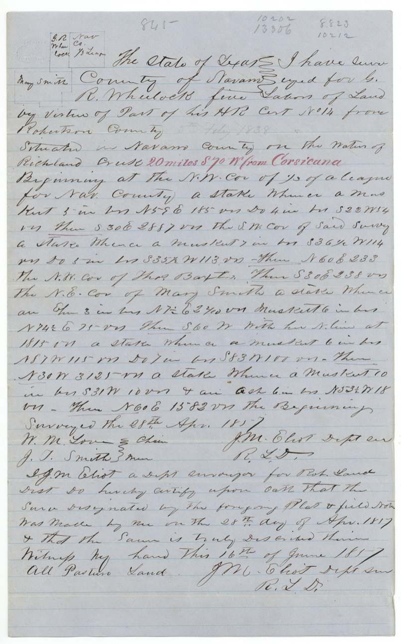
G. R. Wheelock held first-class headright certificate No. 14 from Robertson County; five labors of it were surveyed by deputy surveyor J. M. Eliot on 28 April 1857 on the waters of Richland Creek, 20 miles south-west of Corsicana, beside a third of a league reserved for Navarro County and the Baxter and Mary Smith surveys. The field notes were recorded in Book U and filed in July 1857. The patent issued to Wheelock himself in March 1859, but the fees were paid and the patent collected in December 1860 by B. J. Chambers through Gregg.
The certificate
headright 1st class, No. 14, this survey: 5 labors, part of the headright, Robertson County (board not named in this file), Robertson County, 1838-02-05 (pencilled in the field notes, '5th Feby 1838').
not stated — the certificate is filed elsewhere ('See file 1-845 Rob. for ctf')
The survey
1857-04-28 (oath 1857-06-16; the oath miswrites the year as 1817), J. M. Eliot, Deputy Surveyor, Robertson Land District.
Navarro County, on the waters of Richland Creek, 20 miles S 70 W from Corsicana
Chain carriers: W. M. Love, J. T. Smith.
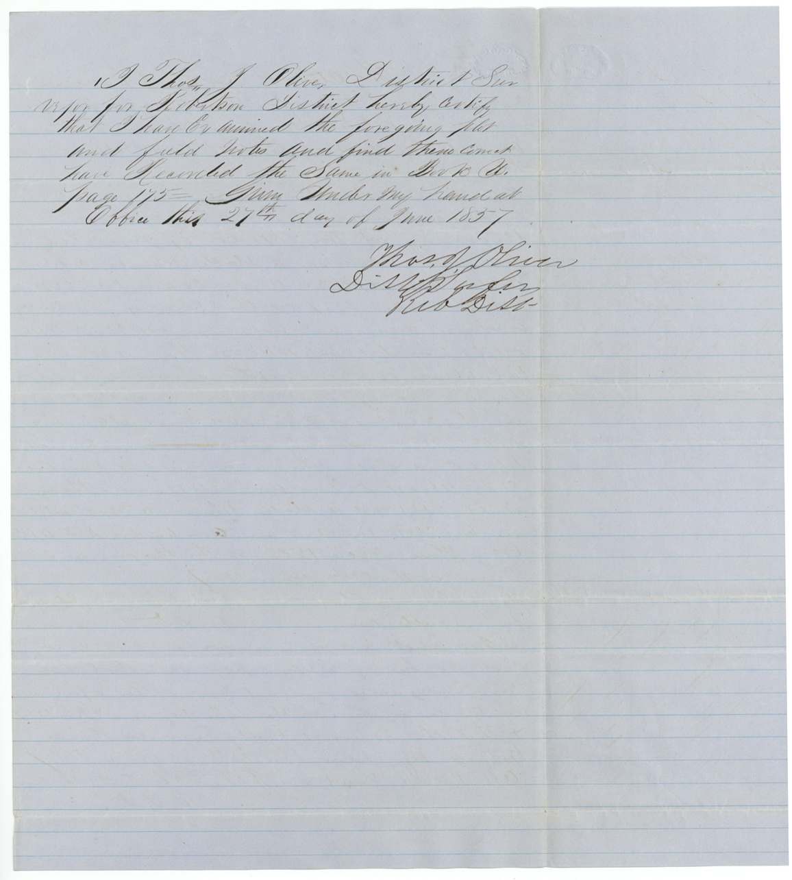
Book U, page 175
The patent
1859-03-23 (field-note docket) / 1859-03-24 (wrapper), No. 356, Vol. 13, to G. R. Wheelock (original grantee; 'No assignment'), delivered to Hen. Gregg for B. J. Chambers, Dec 6, 1860.
Also in the file
- The survey starts at the corner of a third of a league set apart 'for Navarro County' — land reserved to the county itself.
- The surveyor's sworn certificate dates the survey 'April 1817', a slip of the pen for 1857.
- The patent issued in March 1859 but the fees were not paid until December 1860, by B. J. Chambers, who then took delivery through Gregg — the same pattern seen in the Jane M. Cazneau file.
- This is only five labors cut from a larger headright; the certificate itself sits in another file (Robertson 1-845).
Timeline
- 5 Feb 1838Headright certificate No. 14 issued in Robertson County (pencil note)
- 28 Apr 1857J. M. Eliot surveys five labors on Richland Creek waters
- 16 Jun 1857Surveyor's oath
- 27 Jun 1857Examined and recorded, Book U p. 175, by Thos. J. Oliver
- 13 Jul 1857Field notes filed in GLO
- 4 Mar 1859Checked correct on Navarro map
- 24 Mar 1859Patent No. 356 Vol. 13 to G. R. Wheelock
- 7 Dec 1860B. J. Chambers pays $1.20 dues; patent delivered to Gregg for Chambers
The papers in the file
Every page of the Land Office file, in the order the Land Office keeps them (5 pages). Tap a page to see it larger.
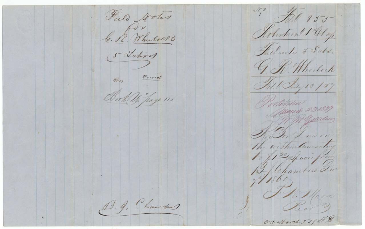
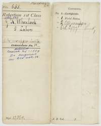 File jacketFile jacket for G. R. Wheelock's five labors in Navarro County under headright certificate No. 14, marked patented in March 1859.General Land Office, file 855, page 1 · in the scan
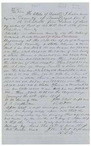 Field notesField notes for five labors of pasture land on Richland Creek, southwest of Corsicana, surveyed for G. R. Wheelock by deputy surveyor J. M. Eliot, 28 April 1857.General Land Office, file 855, page 2 · in the scan
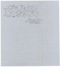 Surveyor's certificateDistrict Surveyor Thomas J. Oliver's certificate of June 1857 that he examined the Wheelock field notes and recorded them in Book U, page 175.General Land Office, file 855, page 3 · in the scan
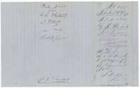 WrapperWrapper for the Wheelock field notes, filed 13 July 1857, with the patent note and a December 1860 receipt of government dues.General Land Office, file 855, page 4 · in the scan
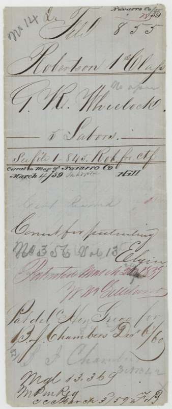
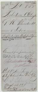 WrapperOld wrapper for G. R. Wheelock's five labors, marked correct for patenting and patented March 1859, with the December 1860 delivery note.General Land Office, file 855, page 5 · in the scan
Scans courtesy of the Texas General Land Office, Austin, from its Land Grant Database.
Neighbouring surveys
Sources
- Texas General Land Office, Land Grant Database: Navarro County, Abstract 824
- The Land Office file, scanned (PDF, at the General Land Office)
- 1924 map: courtesy of the Texas General Land Office, Austin, Map 73249, used under licence. Topo: U.S. Geological Survey, The National Map. Aerial photographs: U.S. Department of Agriculture, National Agriculture Imagery Program, 2012, 2018 and 2022. Survey outlines: Railroad Commission of Texas, Original Texas Land Survey. Grant records and files: Texas General Land Office.