Blackland TX · ← All the original surveys
S. A. Kimbrel Survey, Abstract 454
- Granted to
- S. A. Kimbrel
- Kind of grant
- Headright, first classLand for settlers who were in Texas before independence, 2 March 1836.
- Land Office file
- Robertson 1st class, file 857
- Certificate
- No. 114
- Acres
- 990.49
- Patented to
- Heirs of S. A. Kimbrel
- Patent
- 23 Mar 1857 · No. 354, Vol. 13
Tap a survey to open its page.
What the file shows
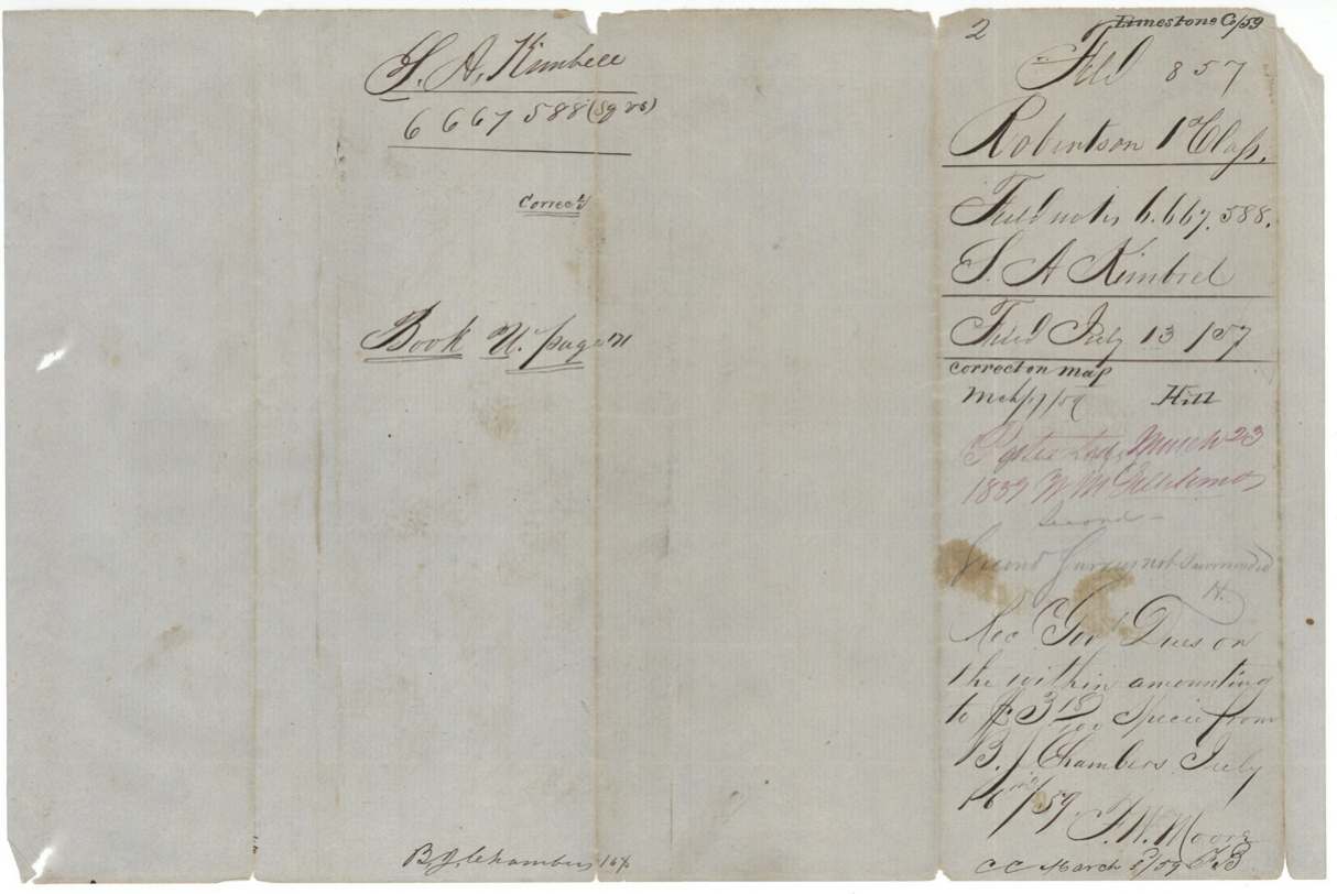
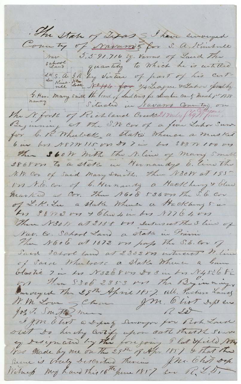
S. A. Kimbrell arrived in Texas in February 1836; on 14 March 1838 his administrator, E. L. R. Wheelock, proved the claim before the Robertson County board and obtained headright certificate No. 114 for three-fourths of a league and a labor. Nothing was located until 1857, when B. J. Chambers had it surveyed in two pieces: 5,591,716 square varas on the North Fork of Richland Creek in Navarro County (April 1857, J. M. Eliot) and 6,667,588 square varas near Springfield in Limestone County (June 1857, Thos. J. Oliver). Both were patented to the heirs of S. A. Kimbrell on 23 March 1859, and Chambers paid the dues and received the patent in July 1859.
The certificate
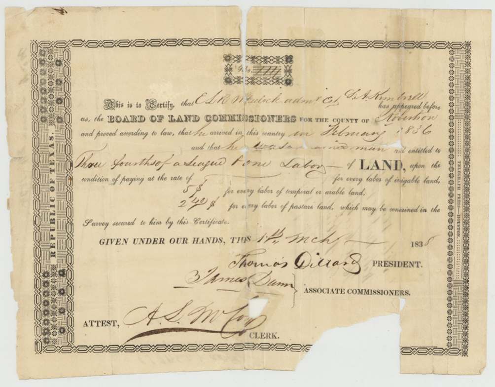
headright 1st class, No. 114, three-fourths of a league and one labor, Board of Land Commissioners for Robertson County — Thomas Dillard, President; James Dunn, Associate Commissioner; attest A. S. McCoy(?), Clerk, Robertson County, 14 Mar 1838.
E. L. R. Wheelock, administrator of the estate of S. A. Kimbrell, proved that Kimbrell arrived in the country in February 1836 and that he was a ___ man (word torn/illegible) and entitled to three-fourths of a league and one labor
The survey
1857-04-29 (certified June 16, 1857), J. M. Eliot, Deputy Surveyor, Robertson Land District.
Navarro County, on the North Fork of Richland Creek, 21 miles S 69 W from Corsicana
Chain carriers: W. M. Love, Jos. T. Smith.
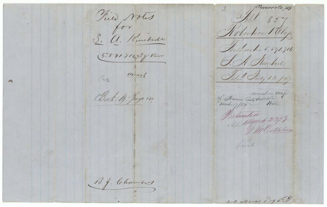
Book U, page 178 (wrapper reads 127(?))
The survey
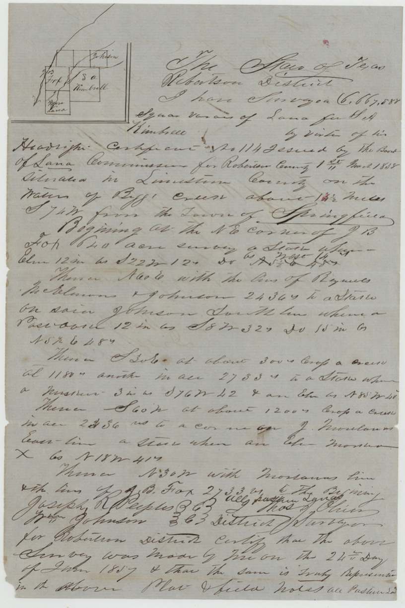
1857-06-24 (certified June 26, 1857), Thos. J. Oliver, District Surveyor, Robertson District.
Limestone County, on the waters of Big(?) Creek about 13½ miles S 74 W from the town of Springfield
Chain carriers: Joseph R. Peeples, Wm. Johnson.
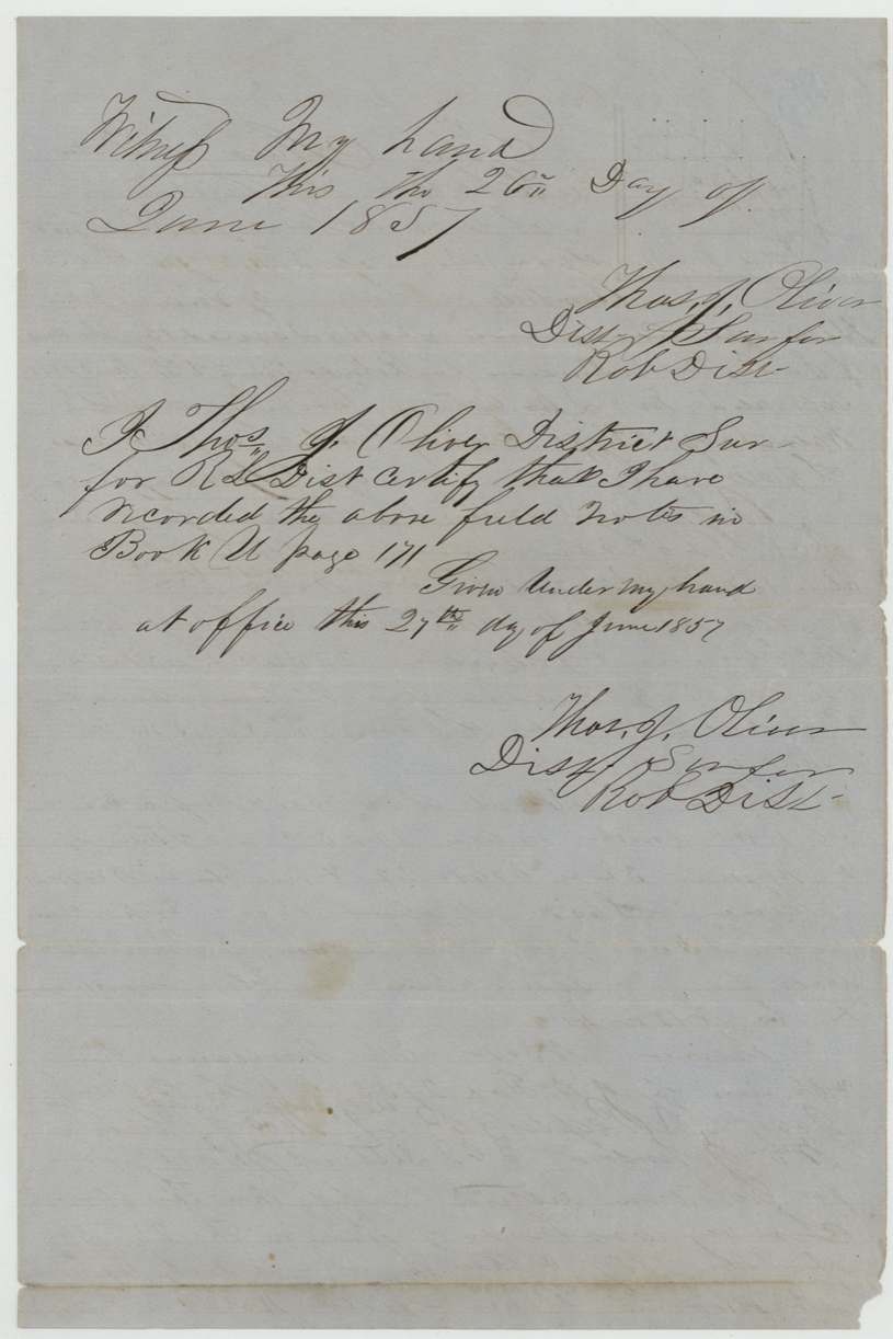
Book U, page 171
The patent
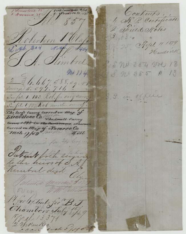
23 Mar 1859, L.S. No. 364 Vol. 13 and No. 365 Vol. 13, to Heirs of S. A. Kimbrell, deceased, delivered to B. J. Chambers, July 16, 1859 ('Pt for 6+ labs for B. J. Chambers').
Also in the file
- Kimbrell was already dead when his headright was granted in 1838: his administrator, E. L. R. Wheelock, proved his claim, and the patent went to his unnamed heirs.
- The certificate was not laid on the ground until 1857, nineteen years later, at the request of B. J. Chambers, who also paid the dues and collected the patent.
- The field notes disagree with the certificate on where and when it was issued (one says Limestone County, 1 March 1838; the certificate says Robertson County, 14 March 1838).
- The certificate is for three-fourths of a league and a labor — an unusual amount for a first-class headright.
- The Navarro tract sits in a block of neighbours that appear elsewhere in this batch: Mary Smith (abstract 724), L. K. Lee (abstract 492) and G. Hernandez.
Timeline
- Feb 1836S. A. Kimbrell arrives in Texas
- 14 Mar 1838Robertson County board issues certificate No. 114 to his administrator E. L. R. Wheelock
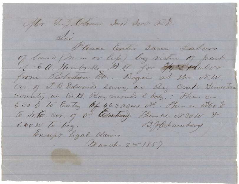
- 2 Mar 1857B. J. Chambers asks the district surveyor to enter seven labors under the certificate
- 29 Apr 1857Navarro survey on North Fork of Richland Creek by J. M. Eliot
- 24 Jun 1857Limestone survey near Springfield by Thos. J. Oliver
- 27 Jun 1857Limestone survey recorded Book U p. 171
- 29 Jun 1857Navarro survey recorded Book U p. 178
- 13 Jul 1857Certificate and field notes filed in GLO
- 17 Mar 1859Both surveys found correct on map
- 23 Mar 1859Patents Nos. 364 and 365 Vol. 13 to heirs of S. A. Kimbrell
- 16 Jul 1859Dues paid and patent delivered to B. J. Chambers
The papers in the file
Every page of the Land Office file, in the order the Land Office keeps them (11 pages). Tap a page to see it larger.
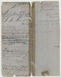 File jacketFile jacket for S. A. Kimbrell's headright surveys in Navarro and Limestone counties, with the patent entry of 23 March 1859 to his heirs.General Land Office, file 857, page 1 · in the scan
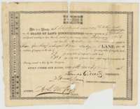 CertificateHeadright certificate No. 114 for three-fourths of a league and one labor, issued to S. A. Kimbrell's estate by the Robertson County land board, 14 March 1838.General Land Office, file 857, page 2 · in the scan
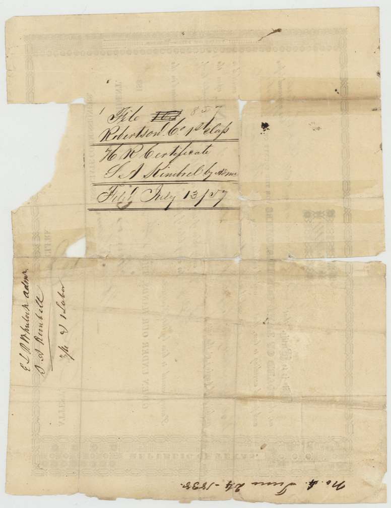
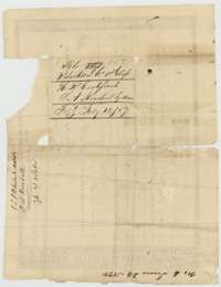 Back of the certificateBack of the certificate, with endorsements naming administrator E. L. R. Wheelock and the Land Office filing note of 13 July 1857.General Land Office, file 857, page 3 · in the scan
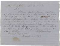 LetterNote of 2 March 1857 from B. J. Chambers asking the district surveyor to enter seven labors of land under S. A. Kimbrell's headright.General Land Office, file 857, page 4 · in the scan
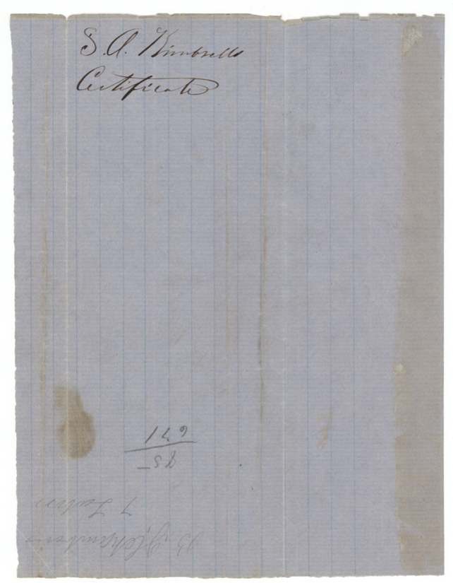
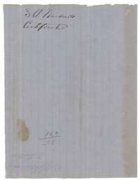 WrapperWrapper marked S. A. Kimbrell, Certificate.General Land Office, file 857, page 5 · in the scan
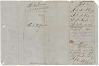 WrapperWrapper for one set of the Kimbrell field notes, recorded in Book U and filed at the Land Office on 13 July 1857.General Land Office, file 857, page 6 · in the scan
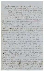 Field notesField notes and plat for land on the North Fork of Richland Creek in Navarro County, surveyed for S. A. Kimbrell by deputy surveyor J. M. Eliot, 29 April 1857.General Land Office, file 857, page 7 · in the scan
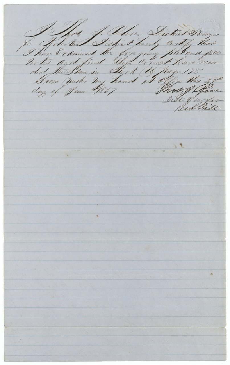
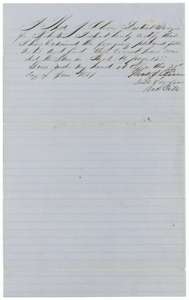 Surveyor's certificateDistrict surveyor Thomas J. Oliver's certificate of 29 June 1857 that the Navarro County Kimbrell field notes are correct and recorded in Book U.General Land Office, file 857, page 8 · in the scan
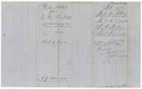 WrapperWrapper for the second set of Kimbrell field notes, recorded in Book U and filed at the Land Office on 13 July 1857.General Land Office, file 857, page 9 · in the scan
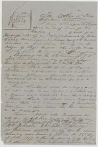 Field notesField notes and plat for land in Limestone County, surveyed for S. A. Kimbrell by district surveyor Thomas J. Oliver, 24 June 1857.General Land Office, file 857, page 10 · in the scan
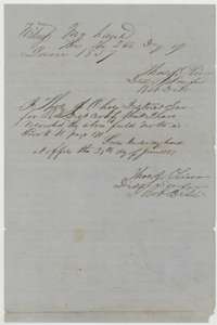 Surveyor's certificateDistrict surveyor Thomas J. Oliver's certificate of 27 June 1857 that the Limestone County Kimbrell field notes are correct and recorded in Book U, page 171.General Land Office, file 857, page 11 · in the scan
Scans courtesy of the Texas General Land Office, Austin, from its Land Grant Database.
Neighbouring surveys
Sources
- Texas General Land Office, Land Grant Database: Navarro County, Abstract 454
- The Land Office file, scanned (PDF, at the General Land Office)
- 1924 map: courtesy of the Texas General Land Office, Austin, Map 73249, used under licence. Topo: U.S. Geological Survey, The National Map. Aerial photographs: U.S. Department of Agriculture, National Agriculture Imagery Program, 2012, 2018 and 2022. Survey outlines: Railroad Commission of Texas, Original Texas Land Survey. Grant records and files: Texas General Land Office.