Blackland TX · ← All the original surveys
Lilborn K. Lee Survey, Abstract 492
- Granted to
- Lilborn K. Lee
- Kind of grant
- Headright, third classLand for later settlers, including the colonists of Mercer’s Colony.
- Land Office file
- Robertson 3rd class, file 2443
- Certificate
- No. 53
- Acres
- 640
- Patented to
- Lilborn K. Lee
- Patent
- 03 Dec 1857 · No. 151, Vol. 17
Tap a survey to open its page.
What the file shows
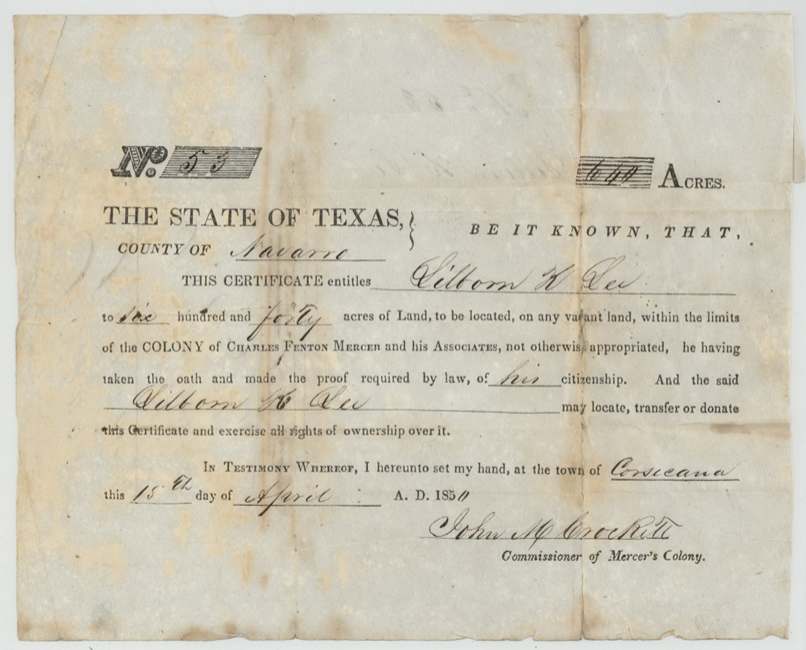
On 15 April 1850 John M. Crockett, Commissioner of Mercer's Colony, issued Lilborn K. Lee certificate No. 53 for 640 acres at Corsicana after Lee proved his citizenship. In December 1855 deputy surveyor James E. Patton located it on the west side of White Rock Creek, describing it as about 22 miles west of Dresden — a reference the Land Office changed to Corsicana. The survey was recorded in January 1856 and found correct on the map in November 1857. Lee kept the certificate himself, and Patent No. 151, Vol. 17 issued in his own name on 2 December 1857; most of the section actually lies in Hill County.
The certificate
headright 3rd class (Mercer's Colony certificate), No. 53, 640 acres, John M. Crockett, Commissioner of Mercer's Colony, Corsicana, Navarro County, 15 Apr 1850.
Lilborn K. Lee took the oath and made the proof required by law of his citizenship; entitled to 640 acres on any vacant land within the limits of the colony of Charles Fenton Mercer and his associates not otherwise appropriated
The survey
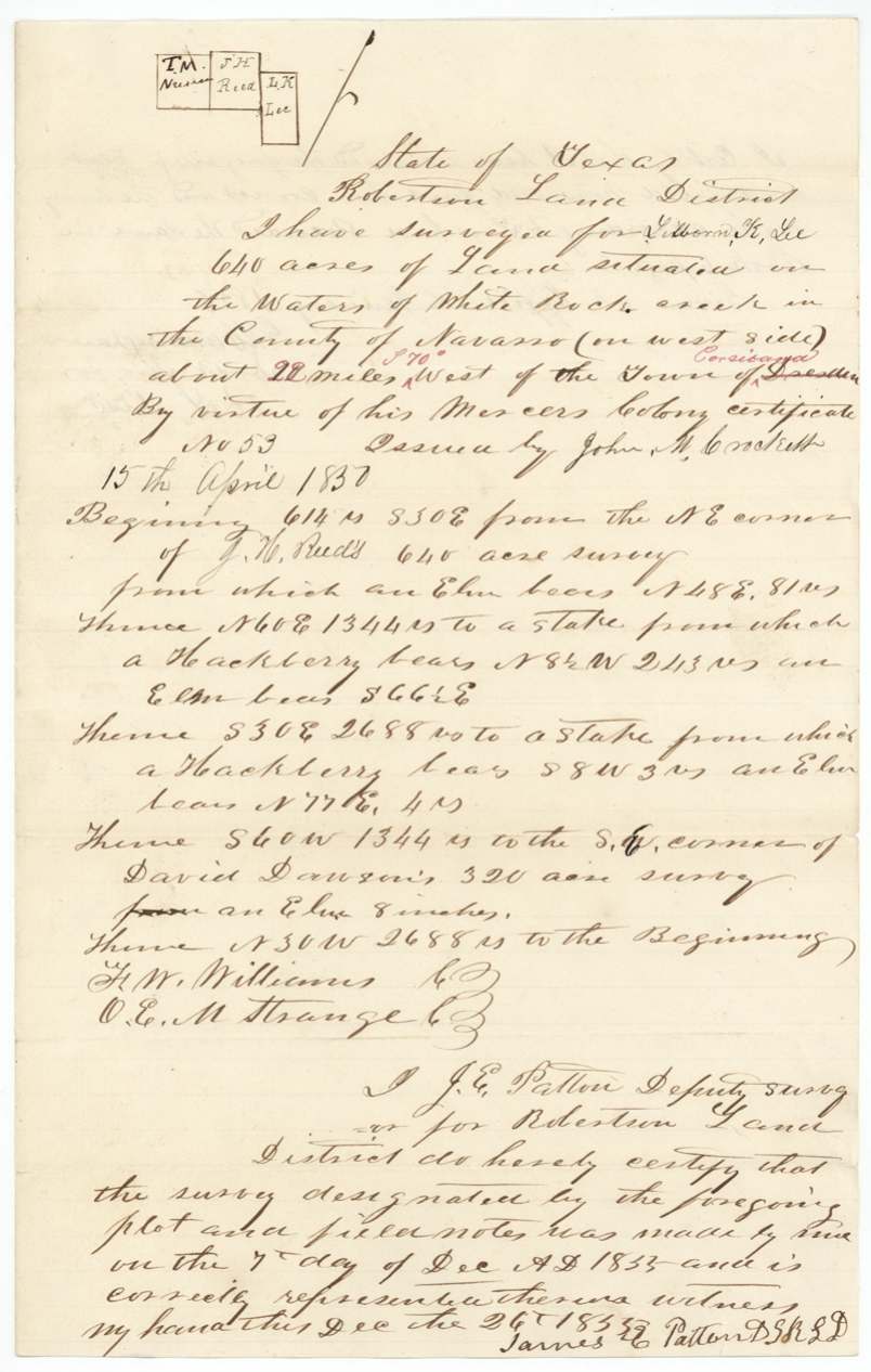
1855-12-07 (certified Dec 26, 1855), James E. Patton, Deputy Surveyor, Robertson Land District.
Navarro County, on the waters of White Rock Creek (on west side), about 22 miles (S 70° added in red) West of the town of Dresden — 'Dresden' struck through and 'Corsicana' written in red
Chain carriers: F. W. Williams, O. E. M. Strange(?).
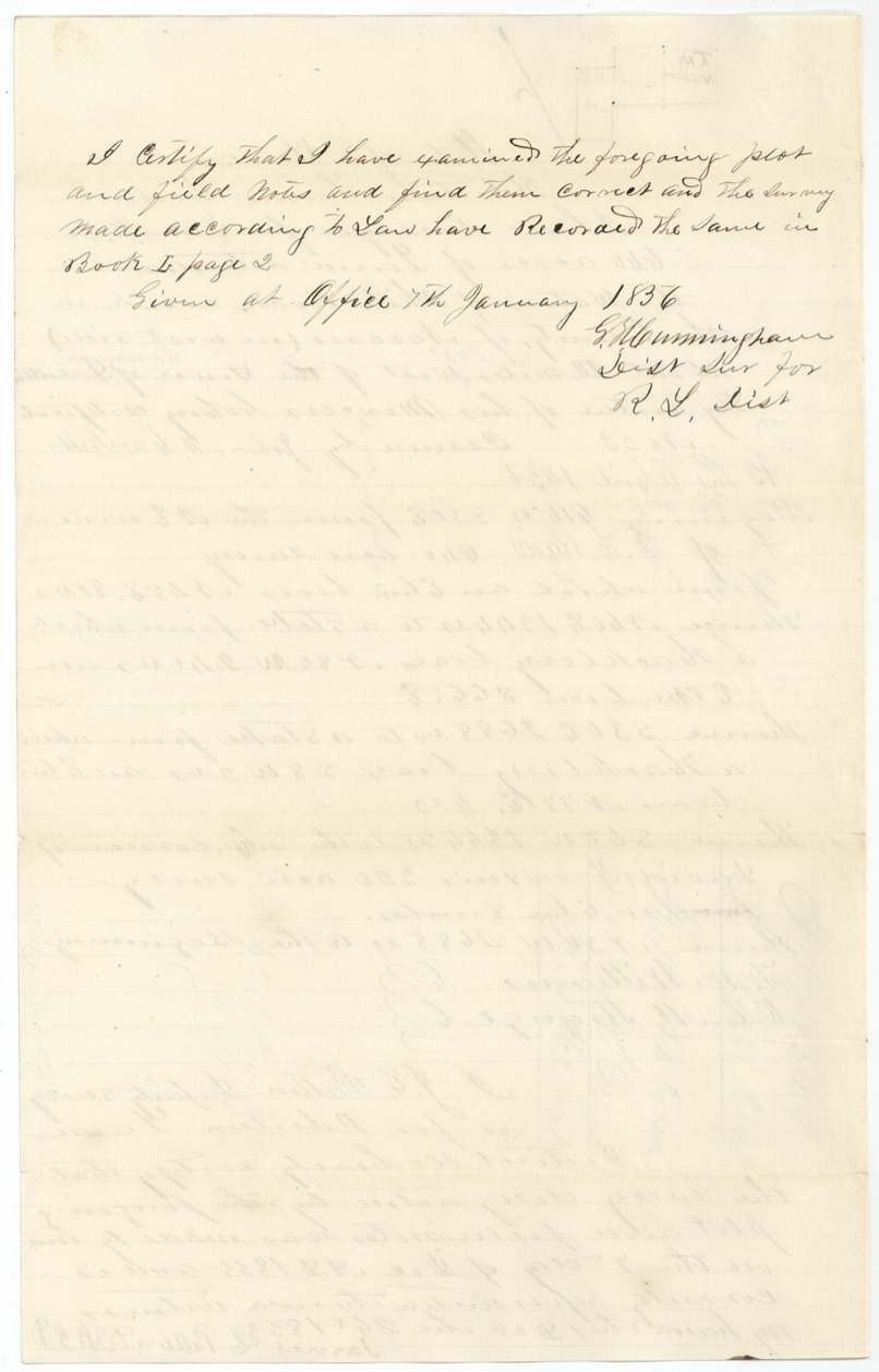
Book I(?), page 2
The patent
2 Dec 1857, No. 151, Vol. 17, to Lilborn K. Lee, delivered to J. E. Patton, 6th Jany 1858 (pencil, '?nd' — received/delivered).
Also in the file
- The surveyor measured the tract from the town of Dresden; the Land Office struck 'Dresden' out and substituted Corsicana as the reference town.
- Despite the field notes calling it Navarro County, the jacket shows four-fifths of the section lying in Hill County and one-fifth in Navarro.
- Lee kept his own certificate — no sale or assignment is in the file, and the patent issued in his own name.
Timeline
- 15 Apr 1850Mercer's Colony certificate No. 53 issued at Corsicana by Commissioner John M. Crockett
- 7 Dec 1855Survey on White Rock Creek by James E. Patton
- 7 Jan 1856Recorded Book I p. 2
- 16 Jan 1856Certificate and field notes filed in GLO
- 6 Nov 1857Found correct on map
- 2 Dec 1857Patent No. 151 Vol. 17 to Lilborn K. Lee
- 6 Jan 1858Patent to J. E. Patton
The papers in the file
Every page of the Land Office file, in the order the Land Office keeps them (6 pages). Tap a page to see it larger.
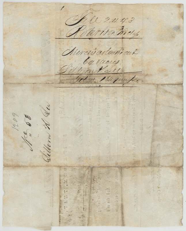
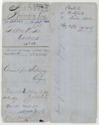 File jacketFile jacket for Lilborn K. Lee, 640 acres, Mercer's Colony certificate No. 53, listing the certificate and field notes and marked patented in 1857.General Land Office, file 2443, page 1 · in the scan
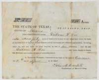 CertificateMercer's Colony certificate No. 53 entitling Lilborn K. Lee to 640 acres, issued at Corsicana by commissioner John M. Crockett, 15 April 1850.General Land Office, file 2443, page 2 · in the scan
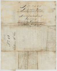 Back of the certificateBack of the certificate, endorsed Lilborn K. Lee, 640 acres, and filed in the Land Office on 16 January 1856.General Land Office, file 2443, page 3 · in the scan
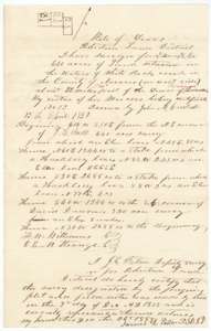 Field notesField notes for 640 acres on White Rock Creek, surveyed for Lilborn K. Lee by deputy surveyor James E. Patton, 7 December 1855.General Land Office, file 2443, page 4 · in the scan
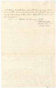 Surveyor's certificateCertificate of the district surveyor, 7 January 1856, that the Lee field notes were examined and recorded in Book I, page 2.General Land Office, file 2443, page 5 · in the scan
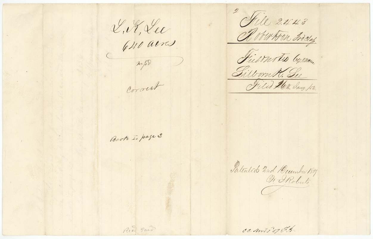
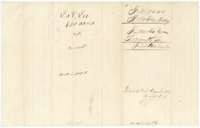 WrapperField-notes wrapper for L. K. Lee, 640 acres, filed 16 January 1856 and patented on 2 December 1857.General Land Office, file 2443, page 6 · in the scan
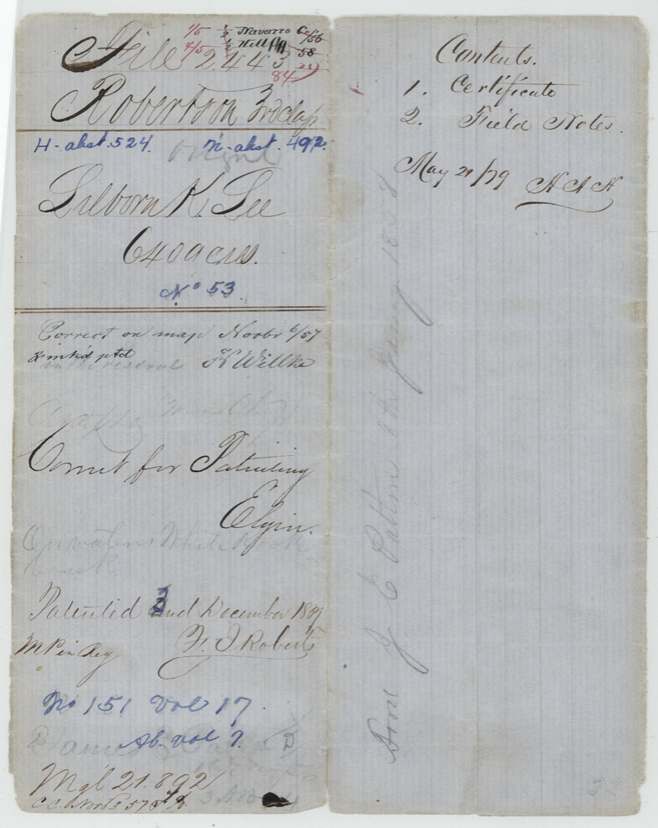
Scans courtesy of the Texas General Land Office, Austin, from its Land Grant Database.
Neighbouring surveys
Sources
- Texas General Land Office, Land Grant Database: Navarro County, Abstract 492
- The Land Office file, scanned (PDF, at the General Land Office)
- 1924 map: courtesy of the Texas General Land Office, Austin, Map 73249, used under licence. Topo: U.S. Geological Survey, The National Map. Aerial photographs: U.S. Department of Agriculture, National Agriculture Imagery Program, 2012, 2018 and 2022. Survey outlines: Railroad Commission of Texas, Original Texas Land Survey. Grant records and files: Texas General Land Office.