Blackland TX · ← All the original surveys
Elizabeth Welch Survey, Abstract 864
- Granted to
- Elizabeth Welch
- Kind of grant
- Headright, third classLand for later settlers, including the colonists of Mercer’s Colony.
- Land Office file
- Robertson 3rd class, file 4260
- Certificate
- No. 0/46
- Acres
- 640
- Patented to
- Francis L. Barziza
- Patent
- 06 May 1861 · No. 185, Vol. 34
Tap a survey to open its page.
What the file shows
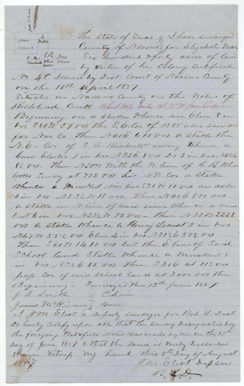
Elizabeth Welch of Falls County proved before the Navarro County District Court that she had been a citizen of Mercer's Colony before October 1848 and on 15 April 1857 received colony certificate No. 46 for 640 acres. Two days later she sold the certificate, by her mark, to Francis L. Barziza for $200. William M. Love applied to locate it, and deputy surveyor J. M. Eliot(?) surveyed 640 acres on Richland Creek about 20 miles southwest of Corsicana on 13 June 1857, next to Navarro County school land. The papers were filed in May 1858 and the patent issued to Barziza on 6 May 1861 (No. 185, Vol. 34).
The certificate
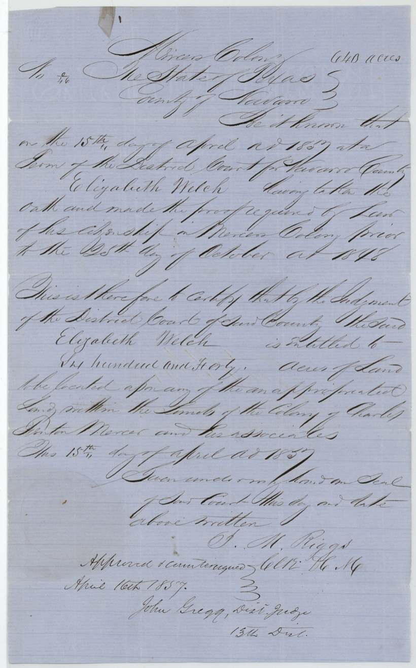
No. 46, 640 acres, District Court of Navarro County (J. M. Riggs, Clerk D.C.N.C.); approved and countersigned 16 April 1857 by John Gregg, District Judge, 13th District, Navarro County (term of the District Court), 15 Apr 1857.
Mercer's Colony colonist certificate issued by judgment of the District Court: Elizabeth Welch 'having taken the oath and made the proof required by law of her citizenship in Mercer's Colony prior to the 25th day of October 1848'; entitled to 640 acres on unappropriated land within the limits of the colony of Charles Fenton Mercer and his associates.
Changes of hand
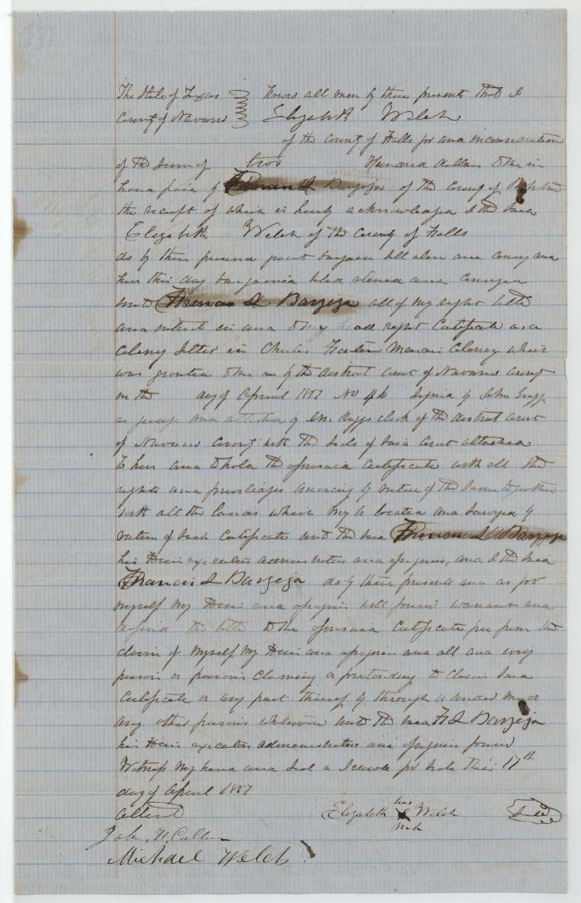
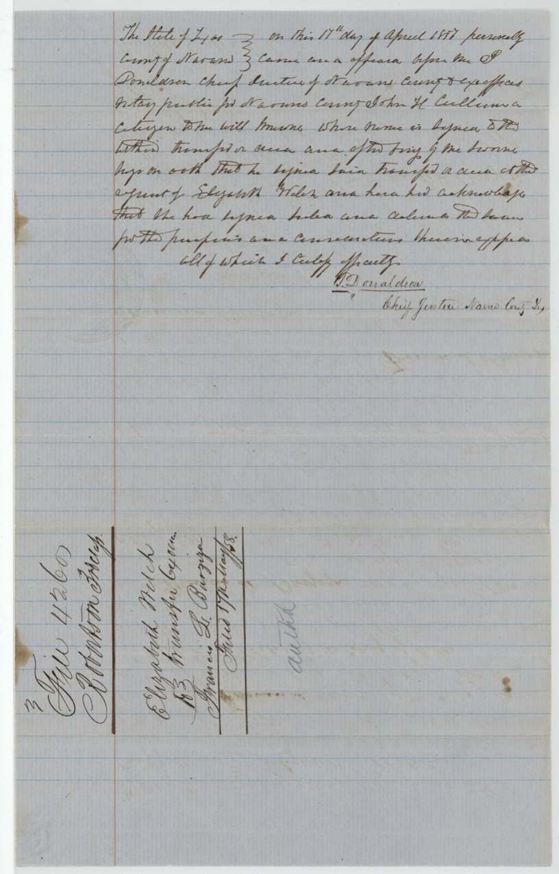
- 17 Apr 1857Elizabeth Welch, of Falls County (signed by her mark) → Francis L. Barziza, of the County of Robertson(?), $200, Navarro County. Conveys the colony certificate No. 46 and all lands to be located by virtue of it, with warranty. Barziza's first name is smudged/overwritten in places; jacket reads 'Elizabeth Welch transfer 640 acres to Francis L. Barziza, filed 17 May 58'.
The survey
13 Jun 1857, J. M. Eliot(?), deputy surveyor, Robertson Land District.
Navarro County on the waters of Richland Creek, about 20 1/2 miles S 71 W from Corsicana (distance added in red ink)
Chain carriers: J. T. Smith, James McKinney.
Book L(?), page 417
The patent
6 May 1861, No. 185, Vol. 34, to Francis L. Barziza, assignee, delivered to D. W. Barziza(?), April 6, 1867(?) (note at top of right jacket panel).
Also in the file
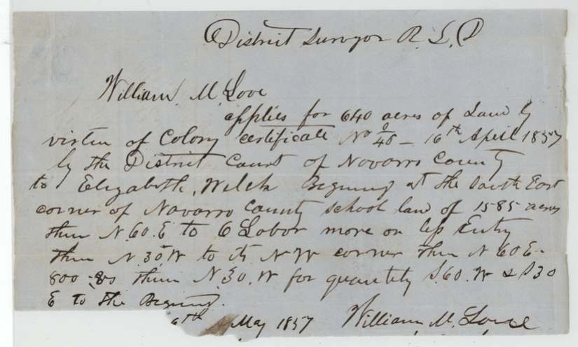
- The application for survey was made by William M. Love, not by Elizabeth Welch or by the buyer Barziza, suggesting Love acted as a locating agent.
- Elizabeth Welch sold the certificate for $200 two days after it was issued, before any land was surveyed.
- The patent note appears to say Barziza was assignee of someone named Elgin(?), although the only transfer in the file is from Welch to Barziza.
- The transfer was signed by Elizabeth Welch with her mark, and one witness was Michael Welch.
Timeline
- 25 Oct 1848Cut-off date: Welch claimed citizenship in Mercer's Colony before this date
- 15 Apr 1857Navarro County District Court issues colony certificate No. 46 to Elizabeth Welch
- 16 Apr 1857Certificate approved and countersigned by Judge John Gregg
- 17 Apr 1857Welch sells certificate to Francis L. Barziza for $200; acknowledged before the Chief Justice
- May 1857William M. Love applies for survey
- 13 Jun 1857Survey on Richland Creek by deputy J. M. Eliot(?)
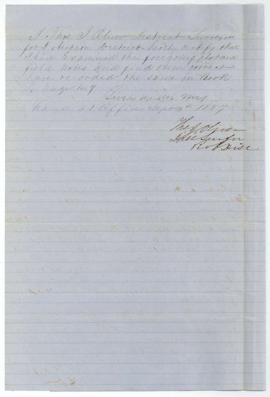
- 4 Sep 1857Field notes examined and recorded by District Surveyor Thos. J. Oliver
- 17 May 1858Papers filed in the General Land Office
- 23 Feb 1861Checked correct on Navarro County map
- 6 May 1861Patent No. 185, Vol. 34 issued to Francis L. Barziza
- 6 Apr 1867Patent apparently delivered to D. W. Barziza(?)
The papers in the file
Every page of the Land Office file, in the order the Land Office keeps them (10 pages). Tap a page to see it larger.
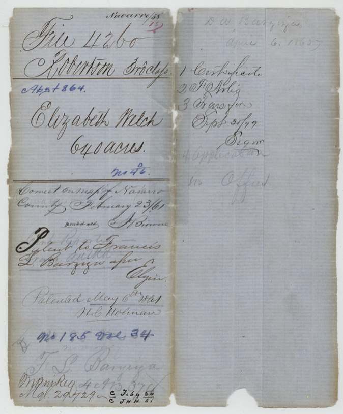
 File jacketFile jacket for Elizabeth Welch's Mercer's Colony certificate, 640 acres, listing the certificate, field notes, transfer and application.General Land Office, file 4260, page 1 · in the scan
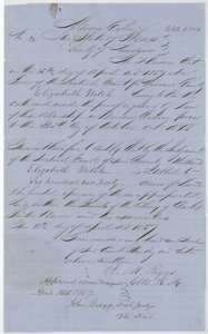 CertificateMercer's Colony certificate No. 46 for 640 acres issued to Elizabeth Welch by the Navarro County district court, April 1857.General Land Office, file 4260, page 2 · in the scan
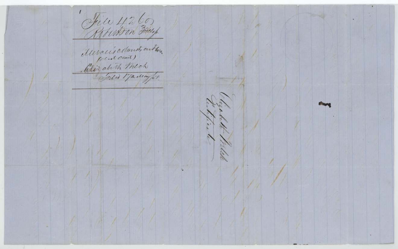
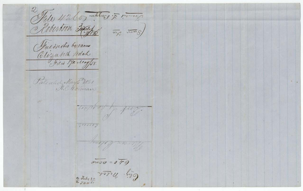
 WrapperFiling wrapper for Elizabeth Welch's Mercer's Colony certificate, Robertson 3rd Class.General Land Office, file 4260, page 3 · in the scan
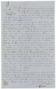 Field notesField notes for 640 acres for Elizabeth Welch on the waters of Richland Creek, surveyed by deputy surveyor J. M. Eliot, 13 June 1857, with a sketch plat.General Land Office, file 4260, page 4 · in the scan
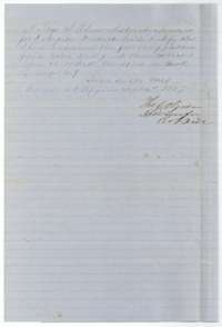 Surveyor's certificateCertificate of District Surveyor Thos. J. Oliver, September 1857, that the Welch field notes are correct and recorded in his office.General Land Office, file 4260, page 5 · in the scan
 WrapperDocket wrapper for the field notes of 640 acres for Elizabeth Welch, filed in May 1858.General Land Office, file 4260, page 6 · in the scan
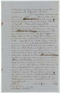 TransferTransfer of 17 April 1857 in which Elizabeth Welch sells her colony certificate for 640 acres to Francis L. Barziza for $200.General Land Office, file 4260, page 7 · in the scan
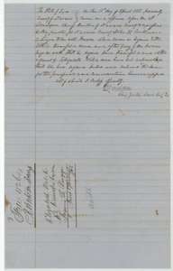 AffidavitAcknowledgment of the Welch to Barziza transfer before the Navarro County chief justice, 17 April 1857, on proof by a subscribing witness.General Land Office, file 4260, page 8 · in the scan
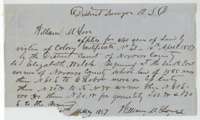 Other papersApplication to the district surveyor by William M. Love, May 1857, to locate 640 acres under Elizabeth Welch's colony certificate beside the Navarro County school land.General Land Office, file 4260, page 9 · in the scan
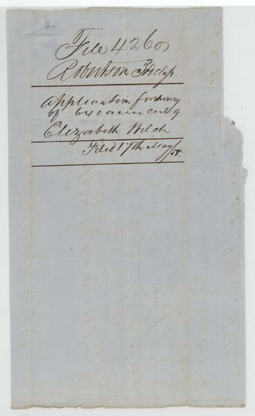
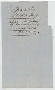 WrapperDocket wrapper for the application to locate Elizabeth Welch's certificate, filed May 1858.General Land Office, file 4260, page 10 · in the scan
Scans courtesy of the Texas General Land Office, Austin, from its Land Grant Database.
Neighbouring surveys
Sources
- Texas General Land Office, Land Grant Database: Navarro County, Abstract 864
- The Land Office file, scanned (PDF, at the General Land Office)
- 1924 map: courtesy of the Texas General Land Office, Austin, Map 73249, used under licence. Topo: U.S. Geological Survey, The National Map. Aerial photographs: U.S. Department of Agriculture, National Agriculture Imagery Program, 2012, 2018 and 2022. Survey outlines: Railroad Commission of Texas, Original Texas Land Survey. Grant records and files: Texas General Land Office.