Blackland TX · ← All the original surveys
John White Survey, Abstract 825
- Granted to
- John White
- Kind of grant
- Headright, first classLand for settlers who were in Texas before independence, 2 March 1836.
- Land Office file
- Robertson 1st class, file 941
- Certificate
- No. 1070
- Acres
- 177.10
- Patented to
- F. L. Barziza
- Patent
- 04 May 1861 · No. 12, Vol. 17
Tap a survey to open its page.
What the file shows
John White held a league-and-labor headright certificate (No. 1070) from the Harrisburg County board, dated January 1839; this file covers the leftover labor. By 1852 Jacob Eliot (also written Ellett) of Corsicana claimed White's certificates, and in April 1857 he sold the labor to Francis L. Barziza for $50. Deputy surveyor J. M. Eliot laid it out on the waters of Richland Creek next to Elizabeth Welch, Martha Fullerton and the Navarro County School Land in September 1857. Patent No. 12, Vol. 17 issued to Barziza as assignee in May 1861.
The certificate
headright 1st class, No. 1070, 1 labor (balance of a league and labor certificate), Board of Land Commissioners for Harrisburg County, Harrisburg County, 1839-01 (field notes say 14 Jan 1839; transfer says 29 Jan 1839).
Balance of John White's league-and-labor headright certificate. The transfer says it was granted under a special act of the Congress of the Republic and later confirmed by an act of the Legislature (date left blank). No arrival or family details in this file.
Changes of hand
- 1853-02-27 (as recited; year reading uncertain)John W. (John) White → Jacob Ellett (Eliot/Elliot). Not in file; recited in the 1857 deed. Eliot's Feb 1852 letter already claims a regular transfer from White, so the recited year may be misread or the deed recorded later.
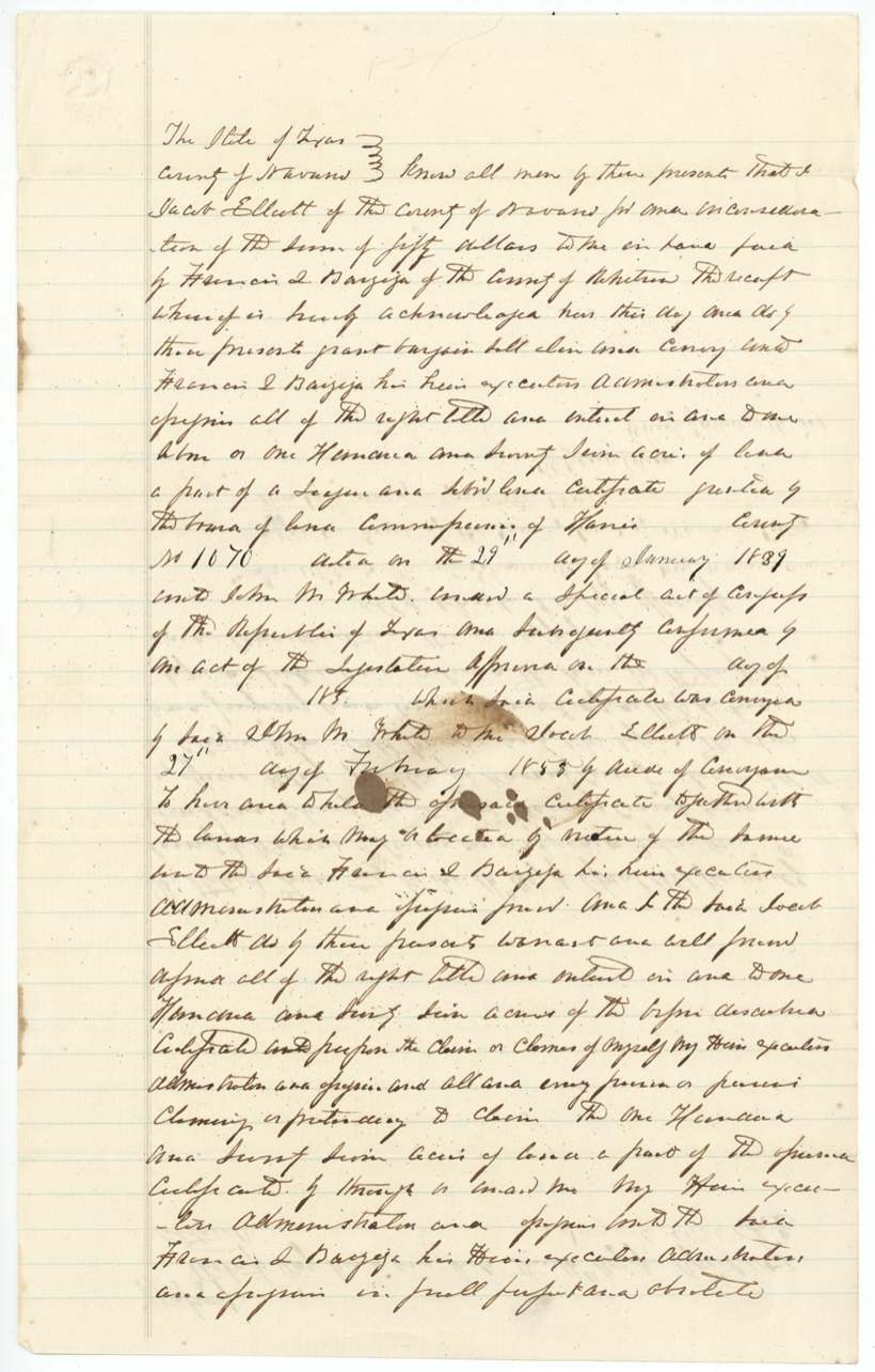
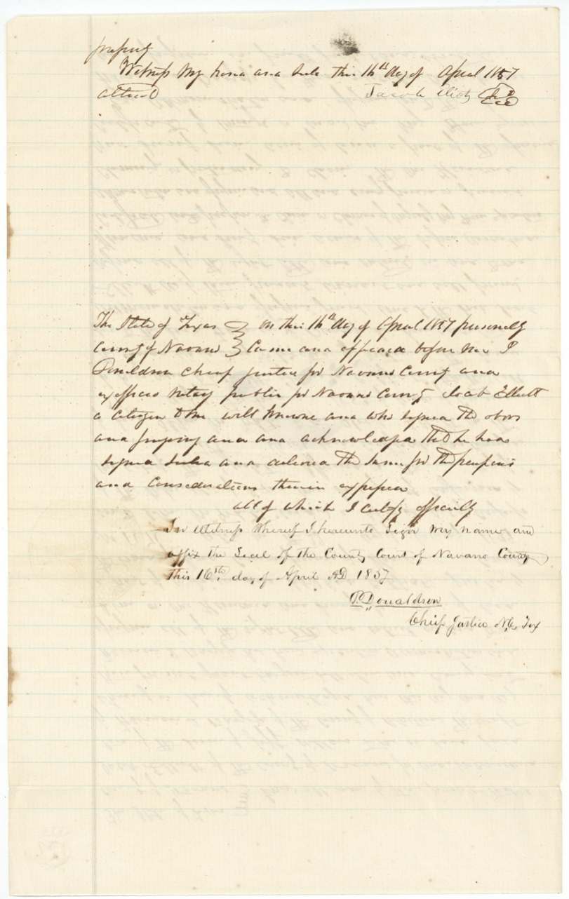
- 16 Apr 1857Jacob Ellett (signs 'Jacob Eliot'), of Navarro County → Francis L. Barziza (written 'Bazeja'), of Robertson(?) County, $50, Navarro County. Conveys one labor, 'one hundred and seventy(?) seven acres', part of league-and-labor certificate No. 1070, with warranty. Filed GLO 17 May 1858.
The survey
5 Sep 1857, J. M. Eliot, Deputy Surveyor, Robertson Land District.
Navarro County, on the waters of Richland Creek, about 20 (altered in red to 21?) miles S 69(?) W (red note '75') from Corsicana
Chain carriers: W. C. Morgan, F.(?) M. Johnson.
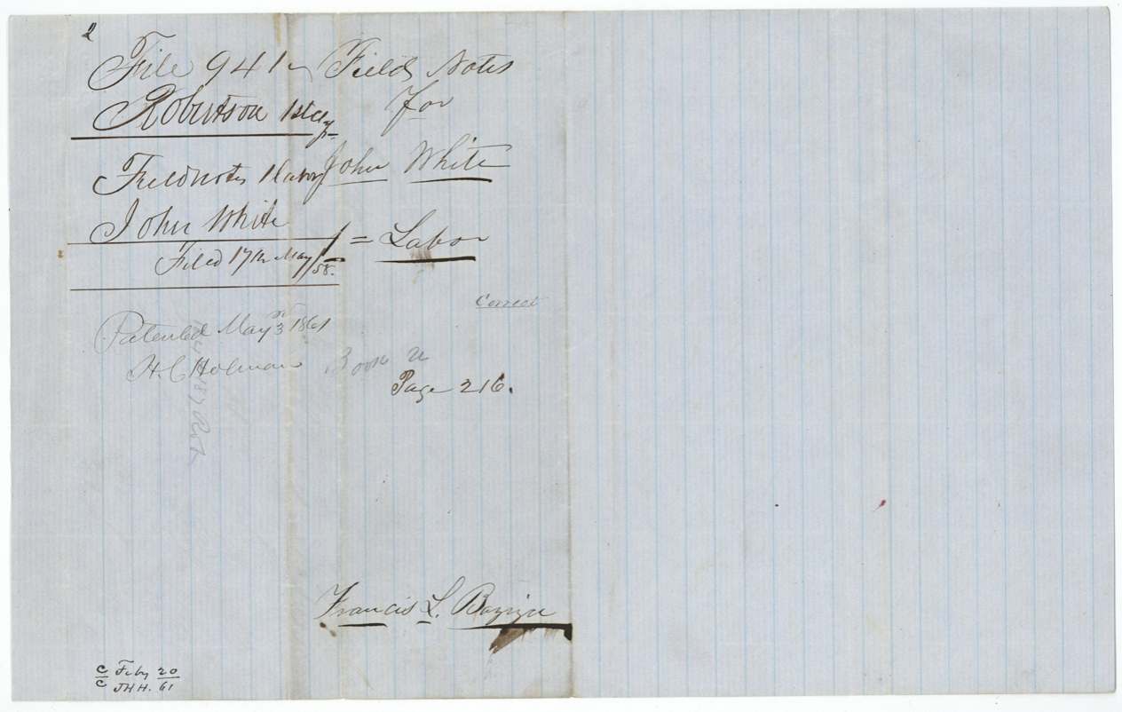
Book U, page 216
The patent
1861-05-03 (newer jacket: May 4th/61), No. 12, Vol. 17, to Francis L. Barziza, assignee, delivered to F. L. Barziza, 17th May(?) [year unclear].
Also in the file
- The surveyor who made the 1857 field notes is J. M. Eliot, and the man who sold the certificate to Barziza signed as Jacob Eliot (spelled Ellett in the deed) - possibly the same family surveying land they had an interest in.
- Jacob Eliot claimed in 1852 to own two leagues and two labors of John White's certificates (Nos. 1069 and 1070), yet sold this labor for only $50 in 1857.
- The two documents disagree on the certificate's date: 14 January 1839 in the field notes, 29 January 1839 in the deed.
- The distance and direction from Corsicana in the field notes were altered later in red ink by the Land Office.
Timeline
- Jan 1839League-and-labor certificate No. 1070 issued to John White by Harrisburg County board
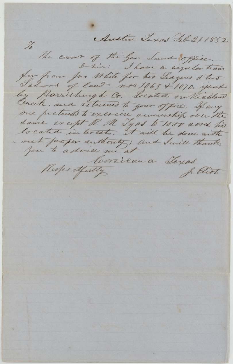
- 21 Feb 1852J. Eliot writes the GLO from Austin claiming White's certificates 1069 and 1070
- 27 Feb 1853White's conveyance to Jacob Ellett, as recited (year uncertain)
- 16 Apr 1857Jacob Ellett/Eliot sells the labor to Francis L. Barziza for $50 before P. Donaldson, Navarro County
- 5 Sep 1857J. M. Eliot surveys one labor on Richland Creek waters
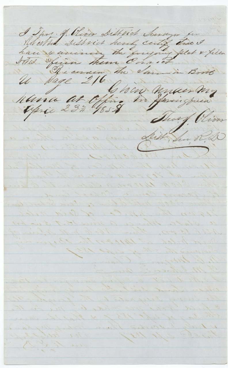
- 23 Apr 1858Field notes examined at Springfield, recorded Book U p. 216
- 17 May 1858Field notes and transfer filed in GLO
- 23 Feb 1861Map check: correct on Navarro County map
- 3 May 1861Patent No. 12 Vol. 17 to Francis L. Barziza, assignee
The papers in the file
Every page of the Land Office file, in the order the Land Office keeps them (10 pages). Tap a page to see it larger.
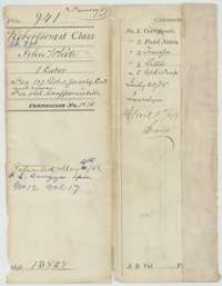 File jacketFile jacket for John White's one-labor headright survey in Navarro County, listing the certificate, field notes, transfer and letter, with the patent entry of May 1861.General Land Office, file 941, page 1 · in the scan
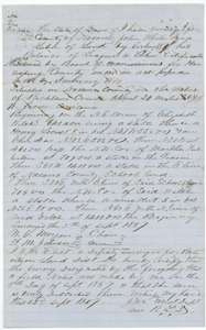 Field notesField notes for one labor on the waters of Richland Creek, surveyed for John White by deputy surveyor J. M. Eliot, 5 September 1857.General Land Office, file 941, page 2 · in the scan
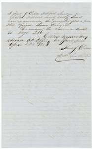 Surveyor's certificateDistrict surveyor Thomas J. Oliver's certificate of 23 April 1858 that the White field notes are correct and recorded in Book U, page 216.General Land Office, file 941, page 3 · in the scan
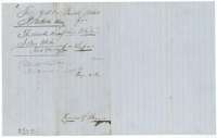 WrapperWrapper for the John White field notes, filed at the Land Office in May 1858 and marked as patented.General Land Office, file 941, page 4 · in the scan
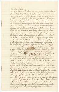 TransferFirst page of the deed in which Jacob Ellett of Navarro County sells part of John White's headright certificate to Francis L. Barziza.General Land Office, file 941, page 5 · in the scan
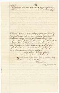 TransferSecond page of the Ellett to Barziza deed, with the acknowledgment taken before the chief justice of Navarro County on 16 April 1857.General Land Office, file 941, page 6 · in the scan
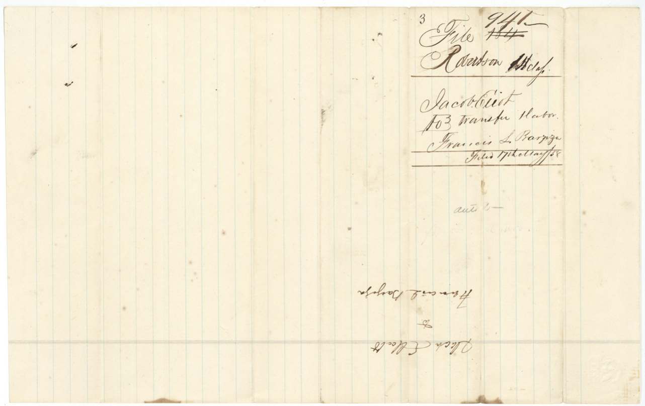
 WrapperWrapper for the transfer of John White's labor from Jacob Ellett to Francis L. Barziza.General Land Office, file 941, page 7 · in the scan
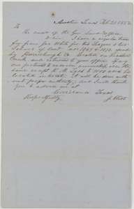 LetterLetter from Austin, 21 February 1852, from J. Eliot to the General Land Office, saying he holds a transfer of John White's certificates located on Richland Creek.General Land Office, file 941, page 8 · in the scan
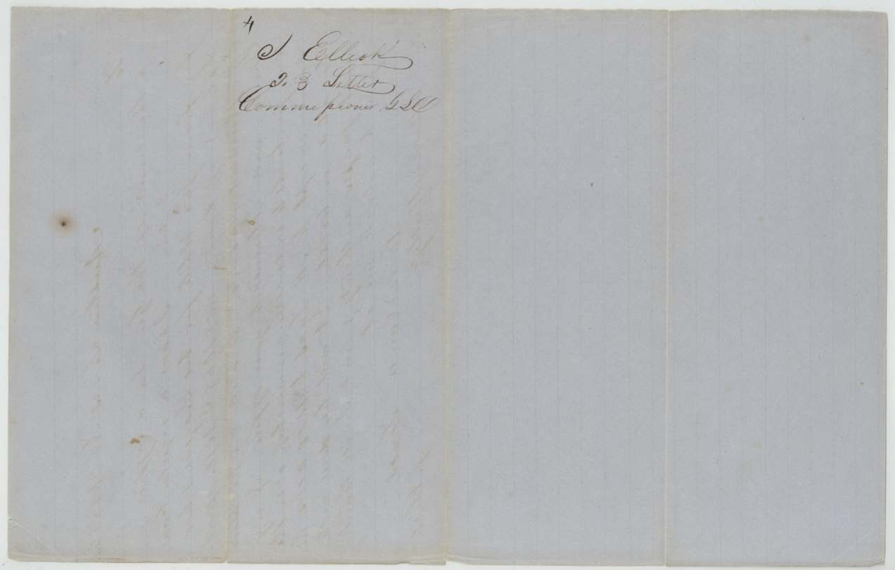
 WrapperDocket on the back of the 1852 Eliot letter to the General Land Office.General Land Office, file 941, page 9 · in the scan
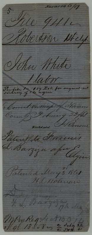
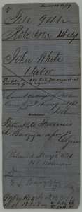 WrapperOld file wrapper for John White's labor, marked as patented to Francis L. Barziza, assignee, on 3 May 1861.General Land Office, file 941, page 10 · in the scan
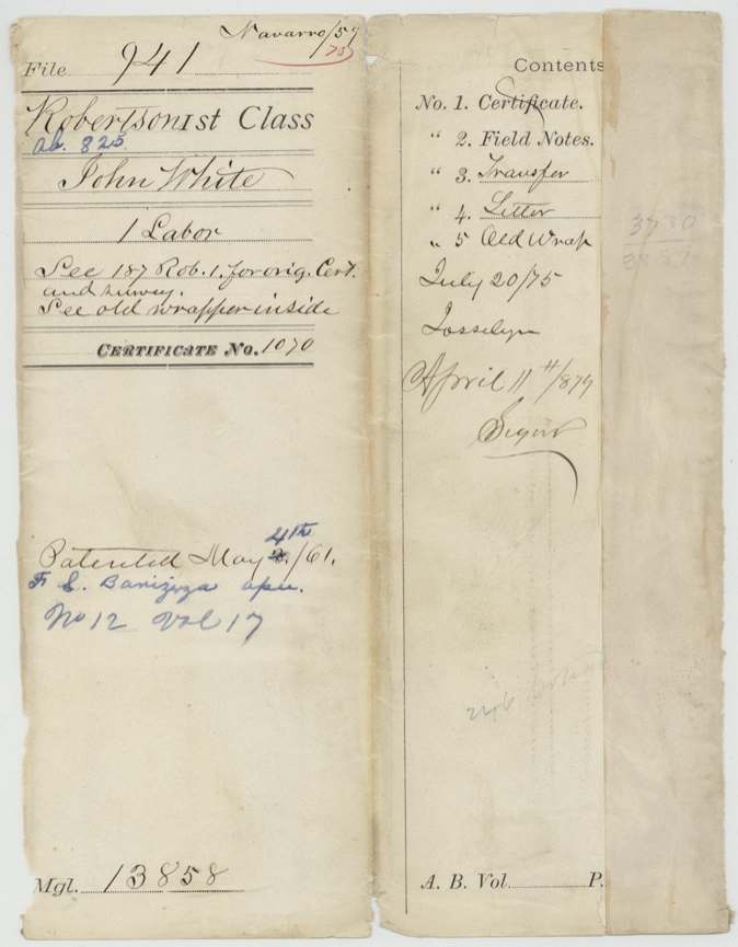
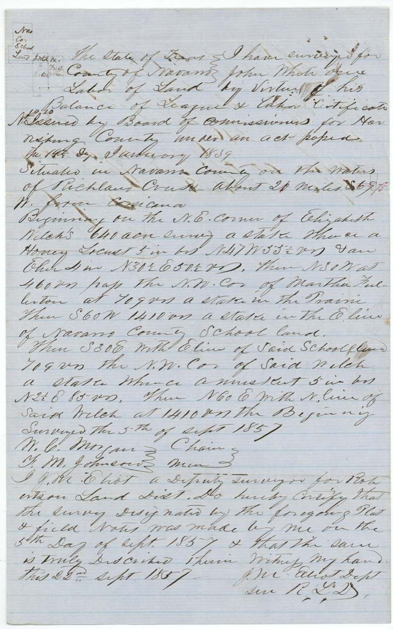
Scans courtesy of the Texas General Land Office, Austin, from its Land Grant Database.
Neighbouring surveys
Sources
- Texas General Land Office, Land Grant Database: Navarro County, Abstract 825
- The Land Office file, scanned (PDF, at the General Land Office)
- 1924 map: courtesy of the Texas General Land Office, Austin, Map 73249, used under licence. Topo: U.S. Geological Survey, The National Map. Aerial photographs: U.S. Department of Agriculture, National Agriculture Imagery Program, 2012, 2018 and 2022. Survey outlines: Railroad Commission of Texas, Original Texas Land Survey. Grant records and files: Texas General Land Office.