Blackland TX · ← All the original surveys
John F. Morgan Survey, Abstract 598
- Granted to
- John F. Morgan
- Kind of grant
- Bounty warrantLand paid for service in the army of the Republic.
- Land Office file
- Robertson Bounty, file 1029
- Certificate
- No. 9316
- Acres
- 601
- Patented to
- Heirs of John F. Morgan
- Patent
- 11 Aug 1870 · No. 474, Vol. 13
Tap a survey to open its page.
What the file shows
John F. Morgan served from 19 February 1836 and was killed at Goliad under Colonel Fannin on 27 March 1836, so the Republic issued a 960-acre bounty and augmentation warrant (No. 9316) in his name on 27 November 1839. The warrant sat in a Milam district file from 1853, and Navarro County Surveyor J. M. Eliot located it in December 1867 as three surveys on the waters of Richland Creek, about 17 to 21 miles west of Corsicana. The surveyor admitted a 'Blunder' in two acreages, which were corrected to 601 and 143 acres. With the 216-acre tract, all three surveys were patented to Morgan's unnamed heirs on 11 August 1870 and delivered to Jas. E. Patton.
The certificate
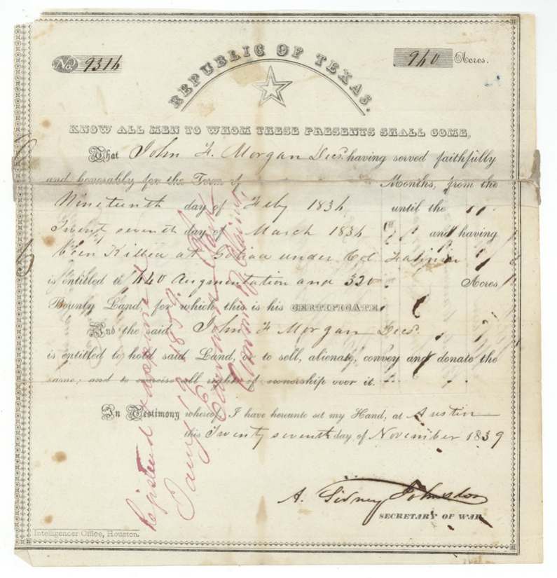
bounty (with augmentation), No. 9316, 960 (640 augmentation + 320 bounty), A. Sidney Johnston, Secretary of War, Republic of Texas, Austin, 27 Nov 1839.
John F. Morgan, deceased, 'having served faithfully and honorably' from 19 February 1836 until 27 March 1836 'and having been killed at Goliad under Col. Fannin' — entitled to 640 acres augmentation and 320 acres bounty land
The survey
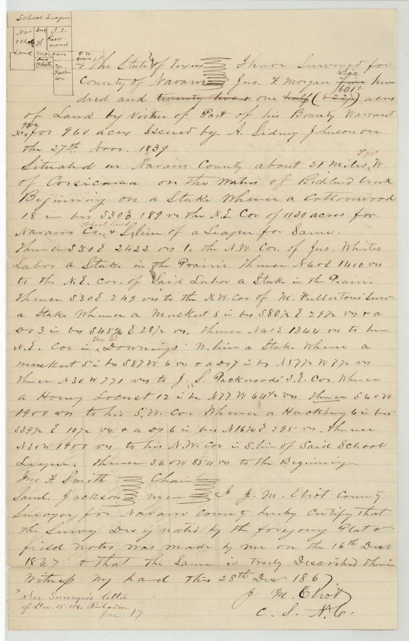
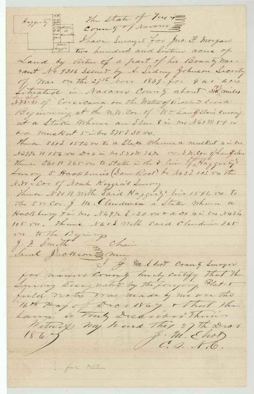
1867-12-16 (certified 1867-12-28), J. M. Eliot (Elliot), County Surveyor, Navarro County.
Navarro County, about 21 miles W (red note 'S 75 W') of Corsicana, on the waters of Richland Creek
Chain carriers: J. F. Smith, Saml. Jackson.
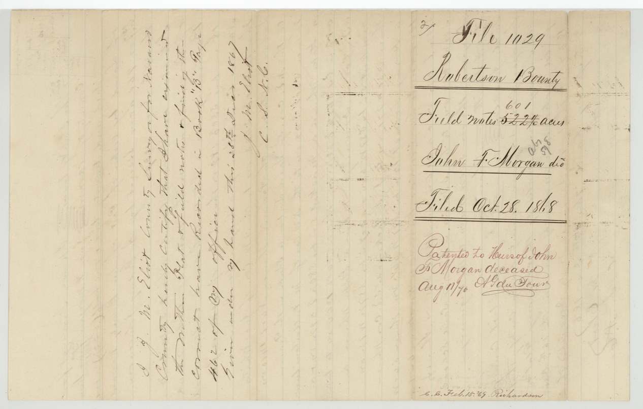
Navarro County Surveyor's records Book '13' page 462 (28 Dec 1867)
The survey
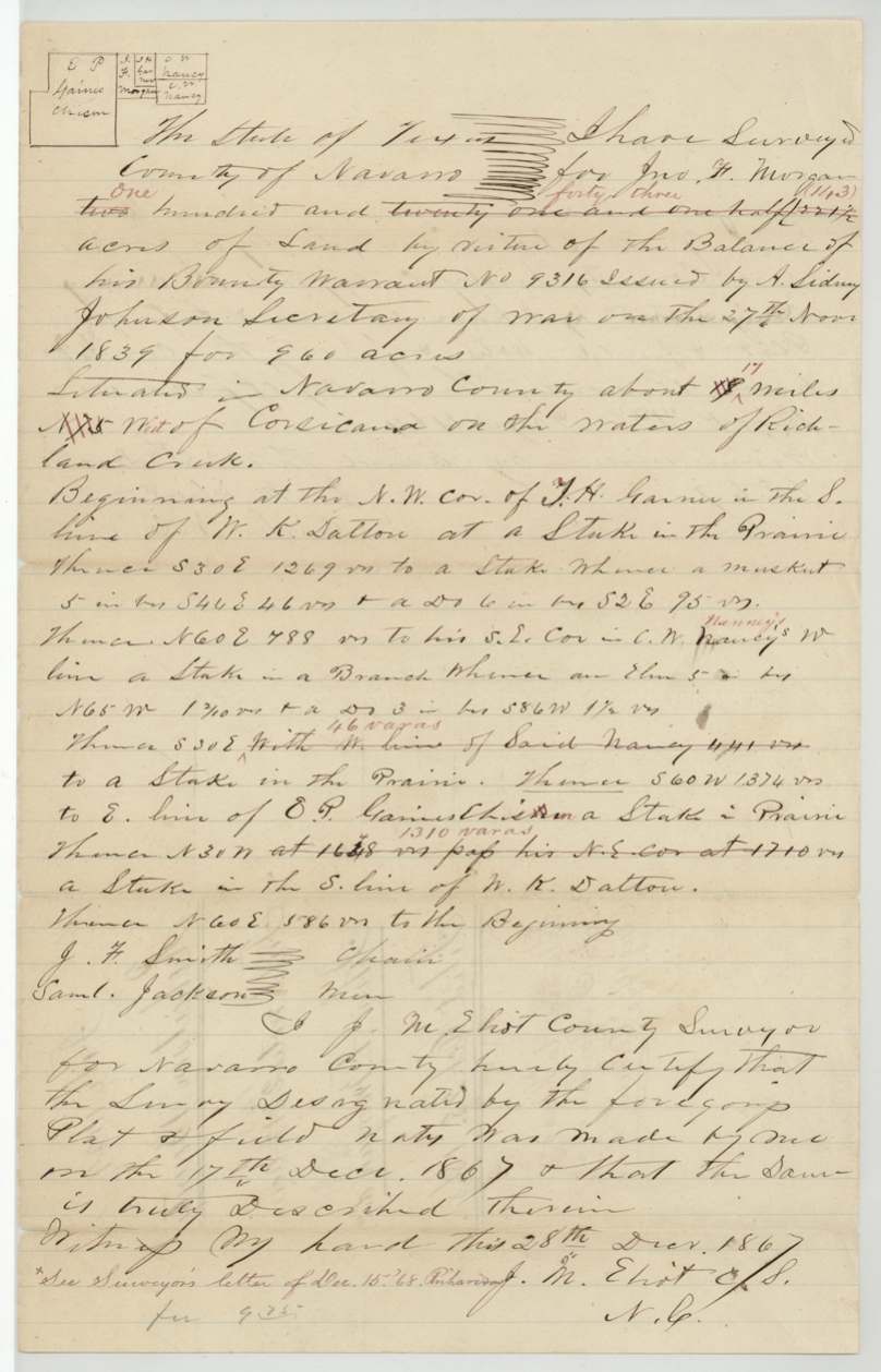
1867-12-17 (certified 1867-12-28), J. M. Eliot, County Surveyor, Navarro County.
Navarro County, about 17 miles West (originally NW) of Corsicana, on the waters of Richland Creek
Chain carriers: J. F. Smith, Saml. Jackson.
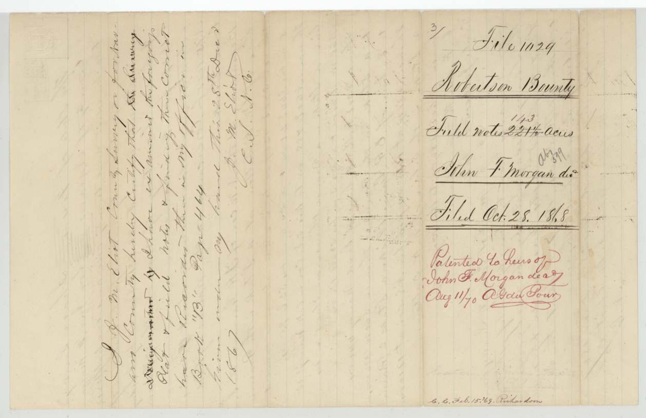
Book '13' page 464
The survey
1867-12-16 (certified 1867-12-27), J. M. Eliot, County Surveyor, Navarro County.
Navarro County, about 19½ miles due West (originally 'N 75 W', 2?½ miles) of Corsicana, on the waters of Richland Creek
Chain carriers: J. F. Smith, Saml. Jackson.
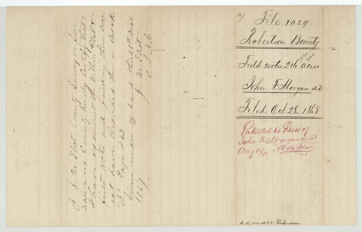
Book '3'(?) page 463 (probably Book 13)
The patent
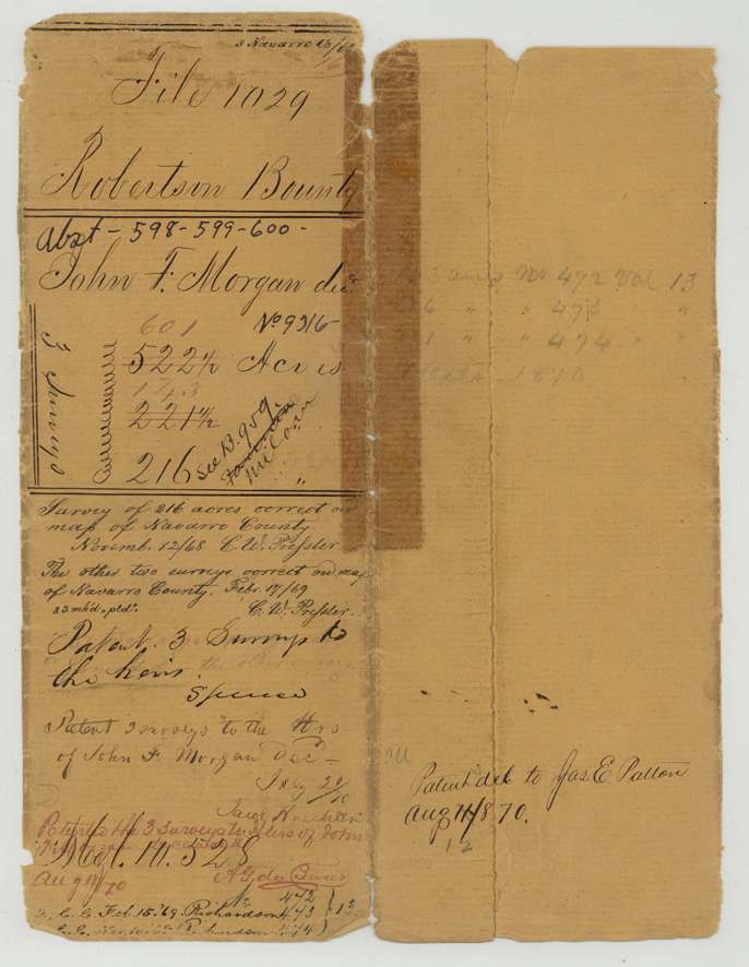
11 Aug 1870, Nos. 472, 473, 474, Vol. 13 (pencil: 143 acres No. 472; 216 No. 473; 601 No. 474). Jacket also has 'Vol. 10. 528'(?) in black., to Heirs of John F. Morgan, deceased, delivered to Jas. E. Patton, Aug 11 1870.
Also in the file
- John F. Morgan was killed at Goliad under Colonel Fannin; the land went to his heirs, and the survey was not made until more than thirty years after his death.
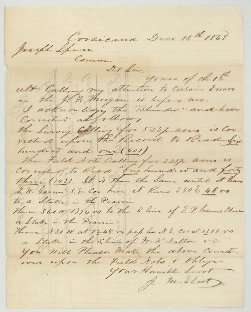
- The county surveyor got two acreages wrong and wrote to the Land Commissioner that he acknowledged the 'Blunder': 522½ acres became 601, and 221½ became 143.
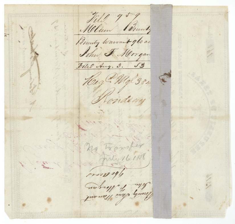
- The warrant was first filed in 1853 under the Milam district and was later moved into a Robertson district file.
- The heirs are never named anywhere in the file.
Timeline
- 19 Feb 1836Morgan's service begins
- 27 Mar 1836Morgan killed at Goliad under Col. Fannin
- 27 Nov 1839Bounty warrant No. 9316 for 960 acres issued at Austin
- 3 Aug 1853Warrant filed in Milam Bounty File 959
- 16 Dec 1867Surveys of 601(522½) and 216 acres made by J. M. Eliot
- 17 Dec 1867Survey of 143(221½) acres made
- 28 Oct 1868Warrant and field notes filed in GLO, File 1029
- 15 Dec 1868Surveyor's letter correcting acreages
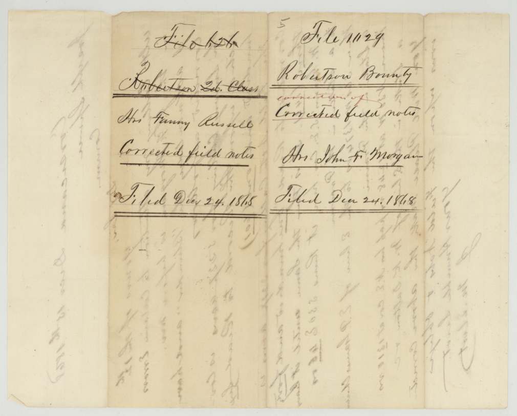
- 24 Dec 1868Corrected field notes filed
- 11 Aug 1870Three patents issued to the heirs; delivered to Jas. E. Patton
The papers in the file
Every page of the Land Office file, in the order the Land Office keeps them (12 pages). Tap a page to see it larger.
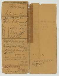 File jacketFile jacket for the John F. Morgan bounty file covering three surveys, with the patent notes of August 1870.General Land Office, file 1029, page 1 · in the scan
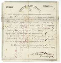 CertificateRepublic of Texas bounty certificate No. 9316 of 27 November 1839 for 960 acres to John F. Morgan, who was killed at Goliad.General Land Office, file 1029, page 2 · in the scan
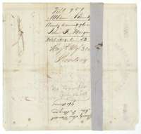 Back of the certificateBack of the bounty certificate, with the Milam bounty file note of 3 August 1853.General Land Office, file 1029, page 3 · in the scan
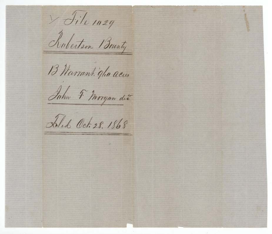
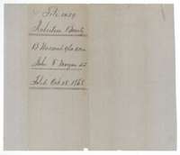 WrapperInner wrapper for the 960-acre Morgan bounty warrant, filed 28 October 1868.General Land Office, file 1029, page 4 · in the scan
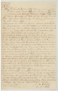 Field notesField notes of 601 acres on Richland Creek surveyed for John F. Morgan's bounty by county surveyor J. M. Eliot, 16 December 1867.General Land Office, file 1029, page 5 · in the scan
 WrapperBack of the 601-acre field notes, with the filing note of 28 October 1868 and the patent note of 1870.General Land Office, file 1029, page 6 · in the scan
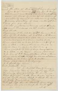 Field notesField notes of 143 acres on Richland Creek surveyed for John F. Morgan's bounty by county surveyor J. M. Eliot, 17 December 1867.General Land Office, file 1029, page 7 · in the scan
 WrapperBack of the 143-acre field notes, with the filing note of 28 October 1868 and the patent note of 1870.General Land Office, file 1029, page 8 · in the scan
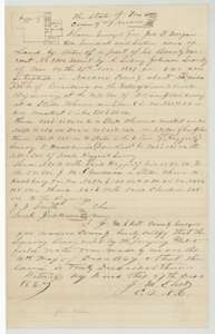 Field notesField notes of 216 acres on Richland Creek surveyed for John F. Morgan's bounty by county surveyor J. M. Eliot, 16 December 1867.General Land Office, file 1029, page 9 · in the scan
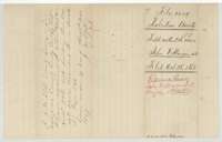 WrapperBack of the 216-acre field notes, with the filing note of 28 October 1868 and the patent note of 1870.General Land Office, file 1029, page 10 · in the scan
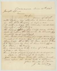 LetterLetter of 15 December 1868 from county surveyor J. M. Eliot to Commissioner Joseph Spence correcting the acreages of two Morgan surveys.General Land Office, file 1029, page 11 · in the scan
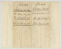 WrapperWrapper for the corrected Morgan field notes, filed 24 December 1868.General Land Office, file 1029, page 12 · in the scan
Scans courtesy of the Texas General Land Office, Austin, from its Land Grant Database.
Neighbouring surveys
Sources
- Texas General Land Office, Land Grant Database: Navarro County, Abstract 598
- The Land Office file, scanned (PDF, at the General Land Office)
- 1924 map: courtesy of the Texas General Land Office, Austin, Map 73249, used under licence. Topo: U.S. Geological Survey, The National Map. Aerial photographs: U.S. Department of Agriculture, National Agriculture Imagery Program, 2012, 2018 and 2022. Survey outlines: Railroad Commission of Texas, Original Texas Land Survey. Grant records and files: Texas General Land Office.