Blackland TX · ← All the original surveys
Navarro County School Land Survey, Abstract 613
- Granted to
- Navarro County School Land
- Kind of grant
- Headright, first classLand for settlers who were in Texas before independence, 2 March 1836.
- Land Office file
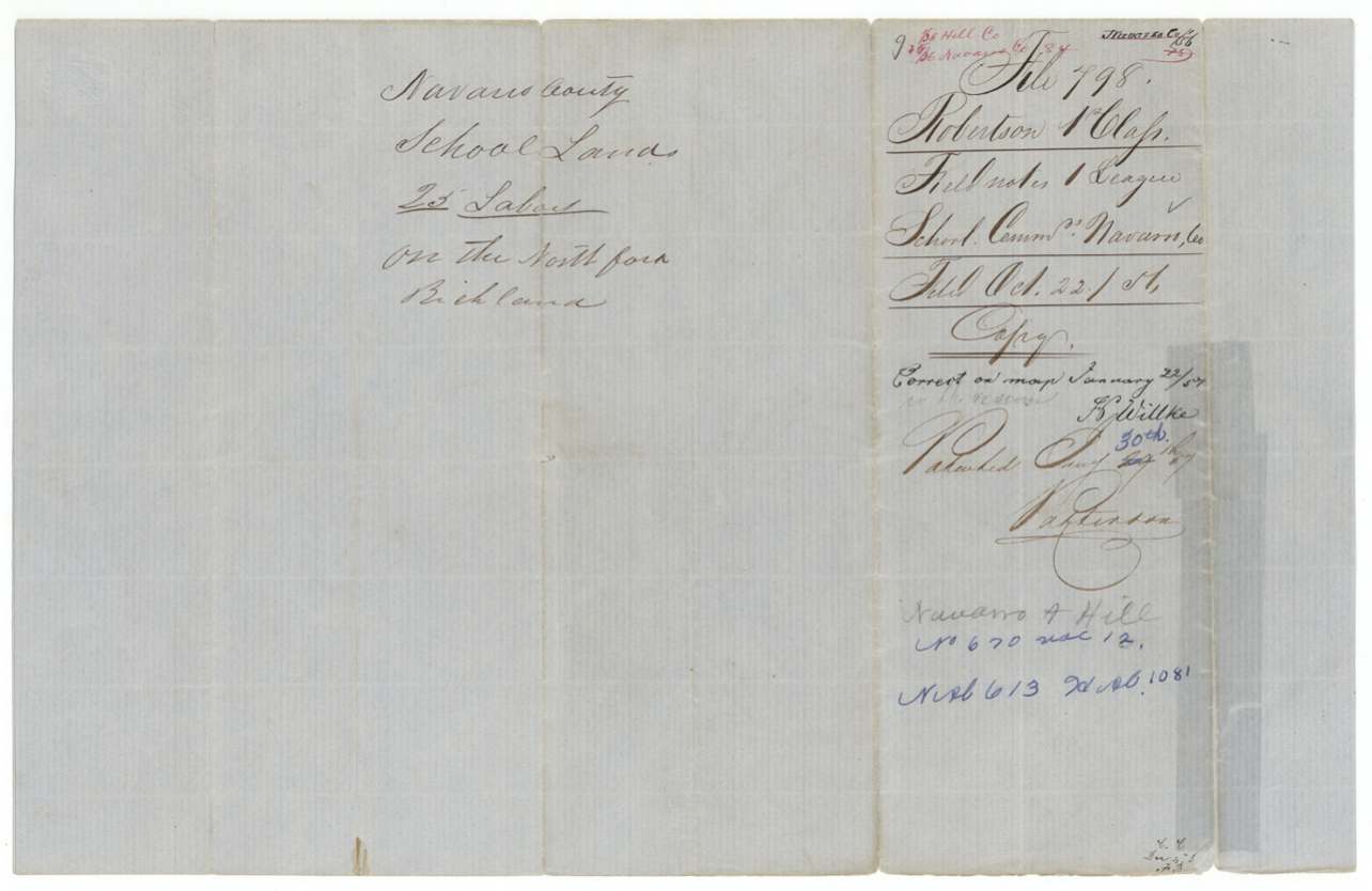
- Robertson 1st class, file 798
- Acres
- 4428
- Patented to
- Navarro County School Land
- Patent
- 29 Jan 1857 · No. 670, Vol. 12
Tap a survey to open its page.
What the file shows
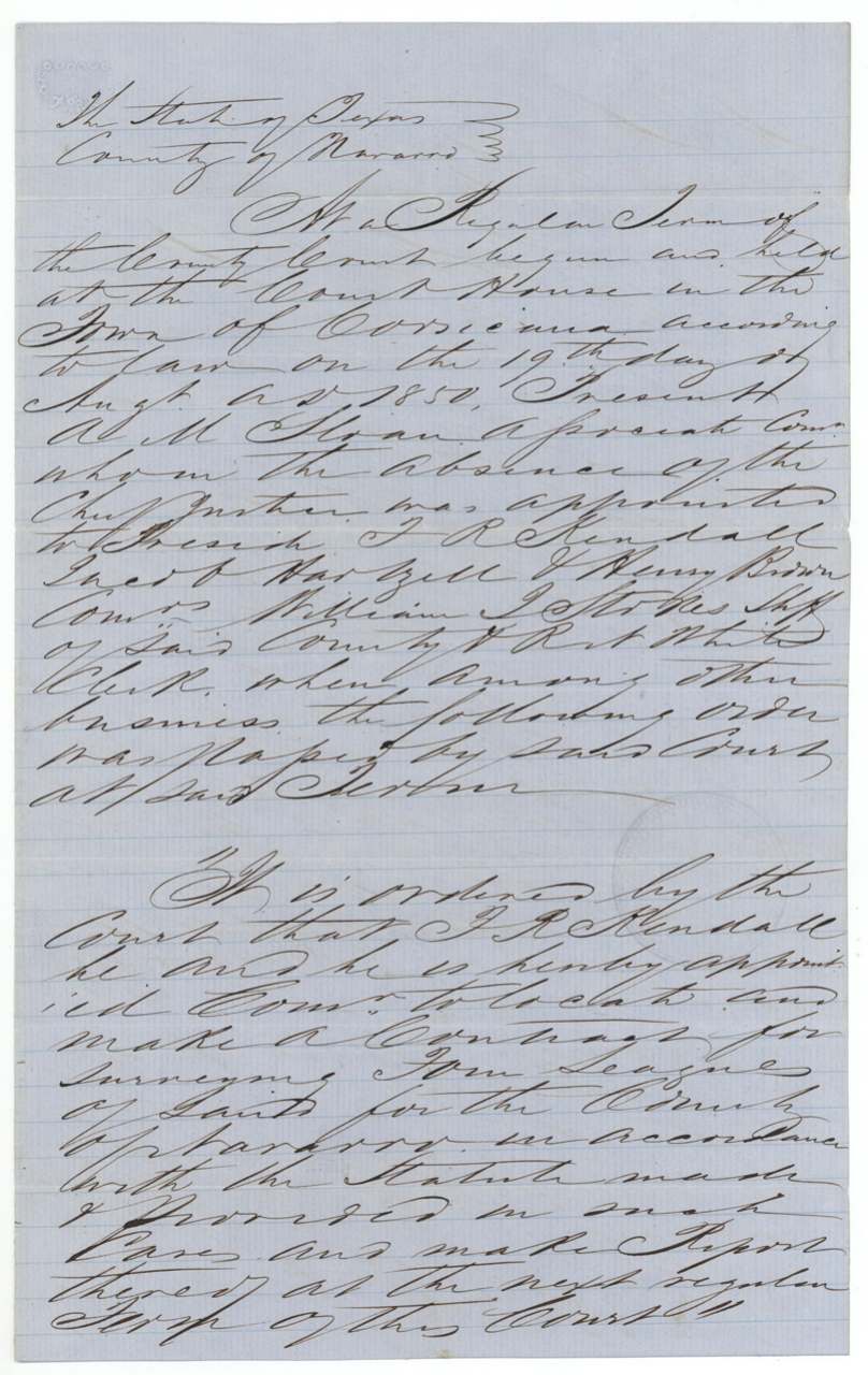
Under the Republic's 1839 and 1840 education acts Navarro County was entitled to four leagues of school land, and on August 19, 1850 the county court at Corsicana appointed T. R. Kendall commissioner to locate it. Deputy surveyor J. M. Elliot ran eight tracts between September 1851 and April 1852 on the North Fork and waters of Richland Creek, roughly 19 to 26 miles west-southwest of Corsicana and reaching into Hill County toward Hillsborough. The field notes were not filed in the Land Office until October 1856; five tracts were patented to the county on January 30, 1857 and the last three in June 1858, after the county's chief justice asked the office to patent them.
The certificate
other (county school land — four leagues granted to each county for education), No. none (county entitlement; wrapper 'Certificate No.' left blank, contents list substitutes 'Order of Court'), four leagues in all; this file holds 8 surveys totalling about 91.1 million sq. varas (~16,150 acres); wrapper refers to Fannin file 1-1179 1/2(?) for another survey, Navarro County Court (order appointing a commissioner); entitlement under the Republic's acts, Court House, Corsicana, 1850-08-19 (county court order).
Act of Congress of the Republic, 26 Jan 1839, 'An act appropriating certain lands for the establishment of a general system of education', and the additional act of 5 Feb 1840 (fourth section), entitling each county to land for schools
The survey
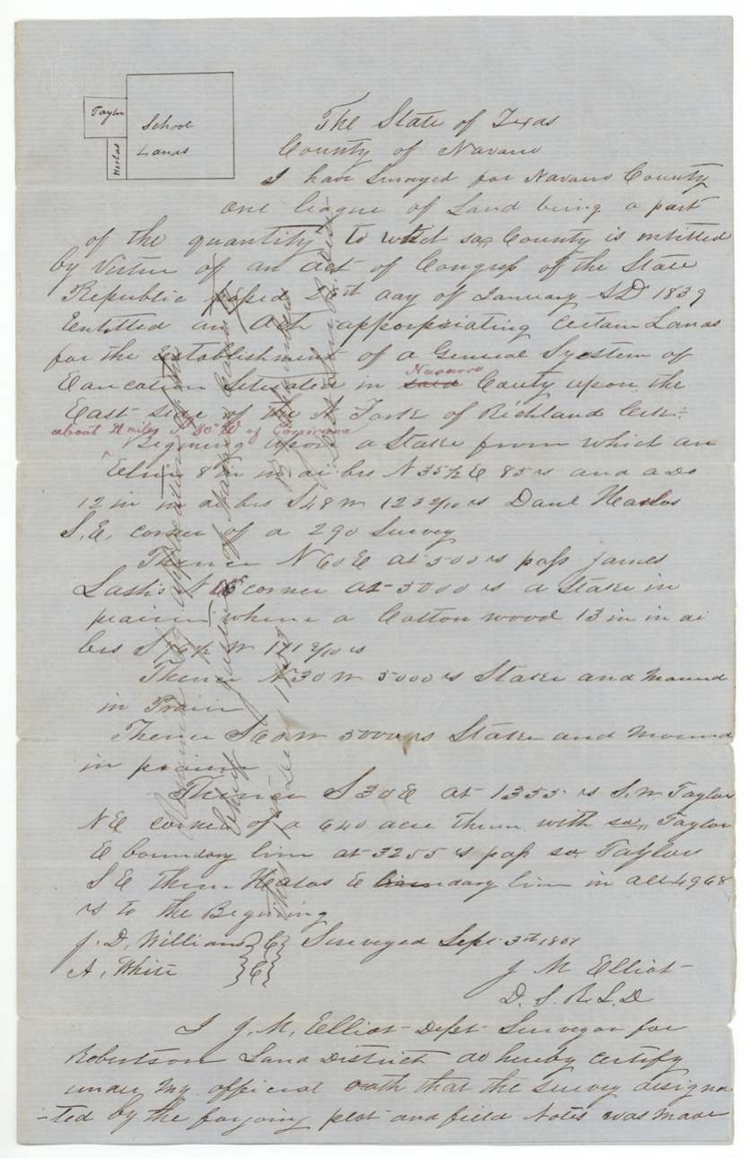
1851-09-03 (certified 1851-09-15), J. M. Elliot (Eliot), Deputy Surveyor, Robertson Land District.
Navarro County, east side of the North Fork of Richland Creek, about 21 miles S. 80 W. of Corsicana (red); docket: '25 labors on the North fork Richland'; red note splits it between Hill and Navarro
Chain carriers: J. D. Williams, A. White.
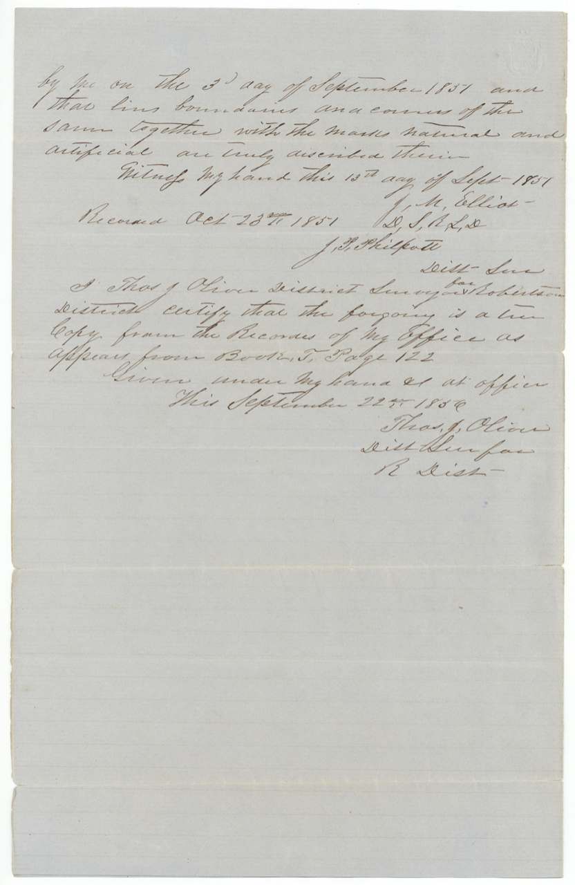
Recorded 23 Oct 1851; Book T, page 122
The survey
1851-12-02 (certified 1851-12-15), J. M. Elliot.
Navarro County, North Fork of Richland Creek, about 19 1/2 miles S. 76 1/2 W. of Corsicana; red note '1/15 Hill, 14/15 Navarro'
Chain carriers: F. R. (T. R.?) Kendall, Joseph Martin.
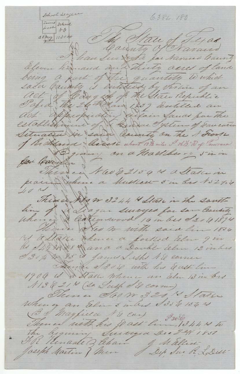
Recorded 14 Feb 1852; Book T, page 142
The survey
1851-12-02 (certified 1851-12-15), J. M. Elliot.
Navarro County, North Fork of Richland Creek, about 19 1/2 miles S. 72 W. of Corsicana; red note '1/3 Hill, 2/3 Navarro'
Chain carriers: F. R. (T. R.?) Kendall, Joseph Martin.
Recorded 13 Feb 1852; Book T, page 141
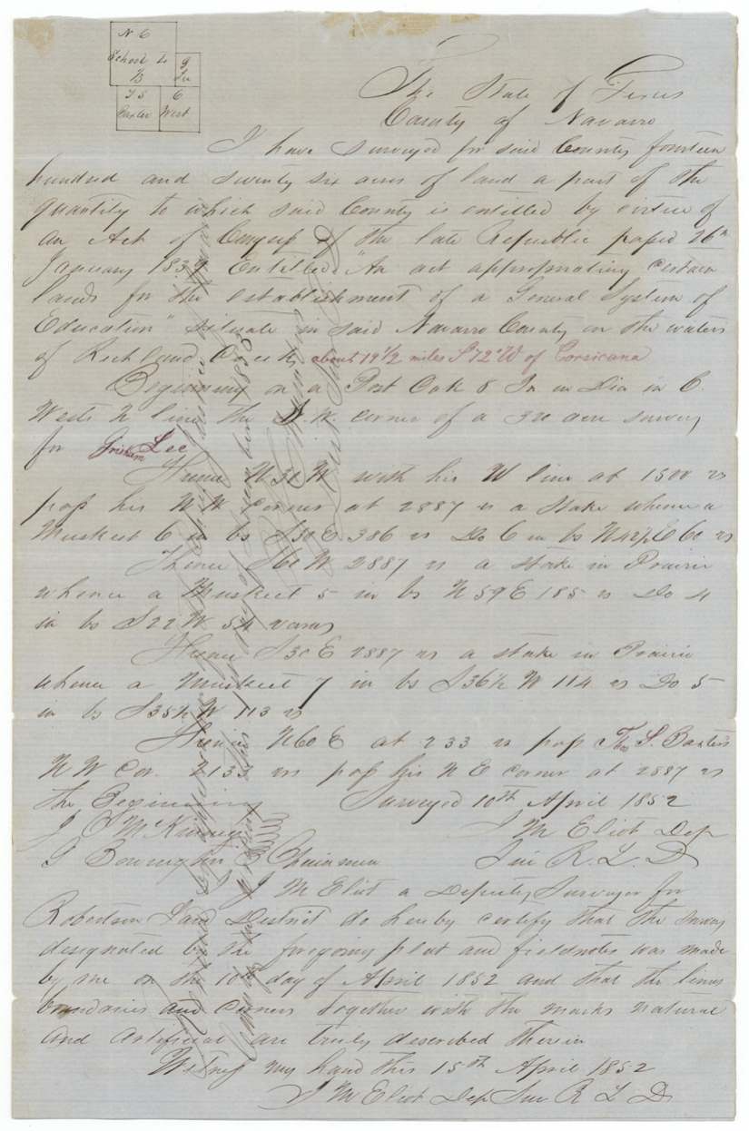
The survey
1852-04-10 (certified 1852-04-15), J. M. Elliot.
Navarro County, on the waters of Richland Creek, about 19 1/2 miles S. 72 W. of Corsicana
Chain carriers: J. O. McKinney, G. Bowington.
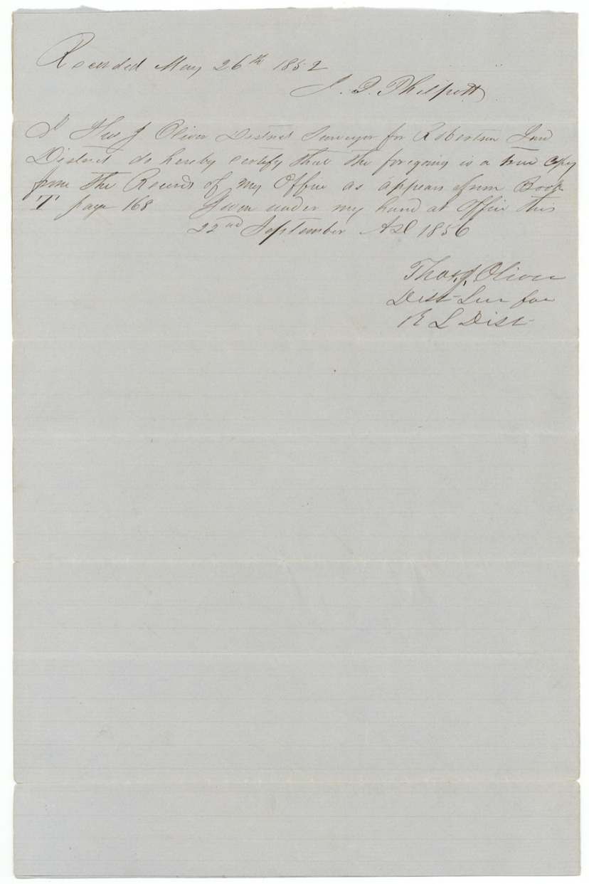
Recorded 26 May 1852; Book T, page 168
The survey
1852-04-11 (certified 1852-04-15), J. M. Elliot.
Waters of Richland Creek; red 'in Navarro & Hill Counties, about 26 miles S. 72 W. of Corsicana'; docket 'all Hill'
Chain carriers: G. Bowington, J. O. McKinney.
Recorded 18 Aug 1852; Book T, page 190
The survey
1852-04-11 (certified 1852-04-15), J. M. Elliot.
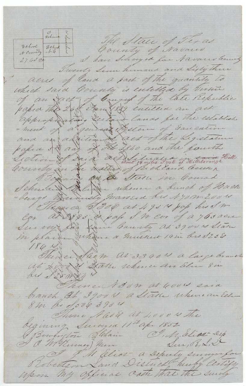
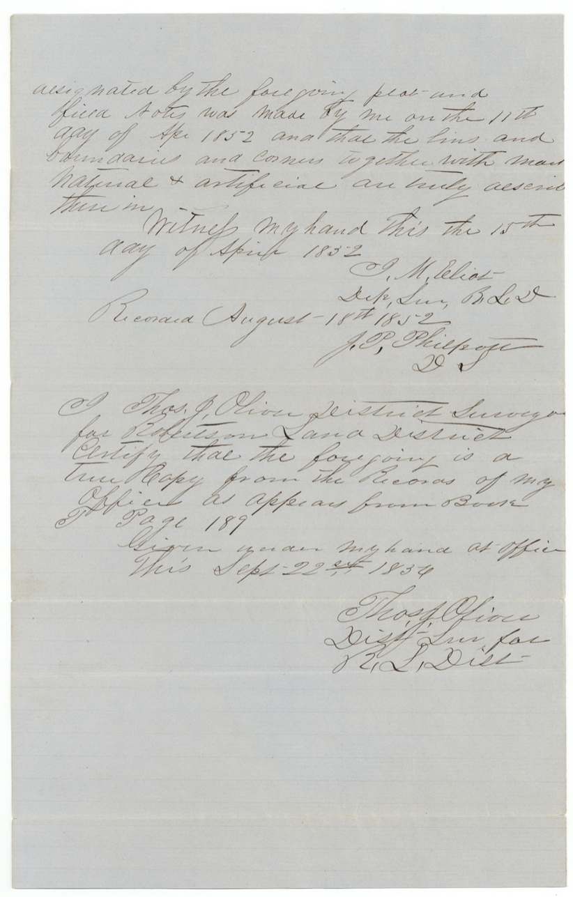
Hill County ('said' struck), on the waters of Richland Creek, about 14 miles S. 70 E. of Hillsborough
Chain carriers: G. Bowington, J. O. McKinney.
Recorded 18 Aug 1852; Book T, page 189
The survey
1852-04-12 (certified 1852-04-15), J. M. Elliot.
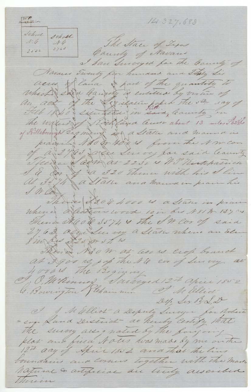
Hill County, waters of Richland Creek, about 13 miles S. 62 1/2 E. of Hillsborough
Chain carriers: J. O. McKinney, G. Bowington.
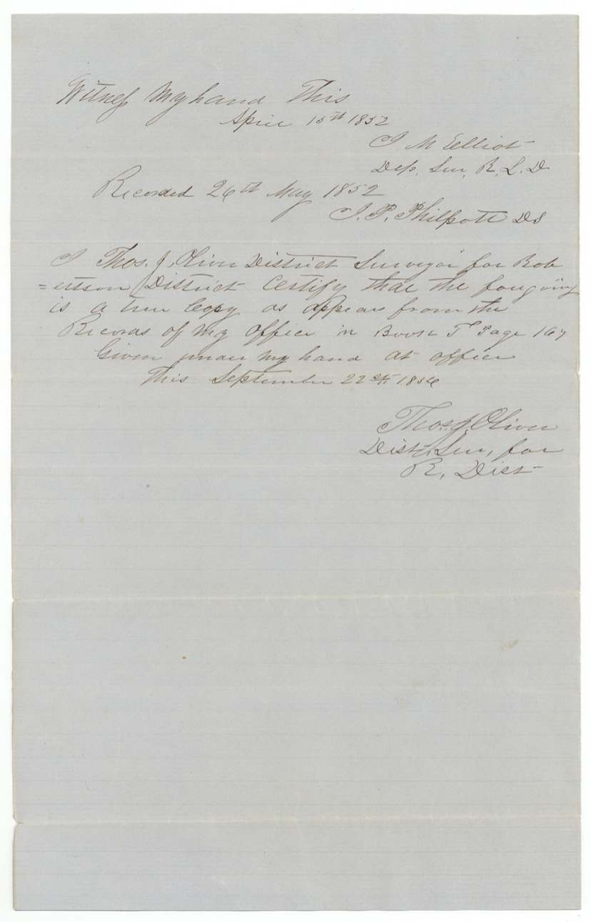
Recorded 26 May 1852; Book T, page 167
The survey
1852-04-13 (certified 1852-04-15), J. M. Elliot.
Hill County, waters of Richland Creek, about 5 miles N. 8?° E. of Hillsborough (red)
Chain carriers: G. Bowington, J. O. McKinney.
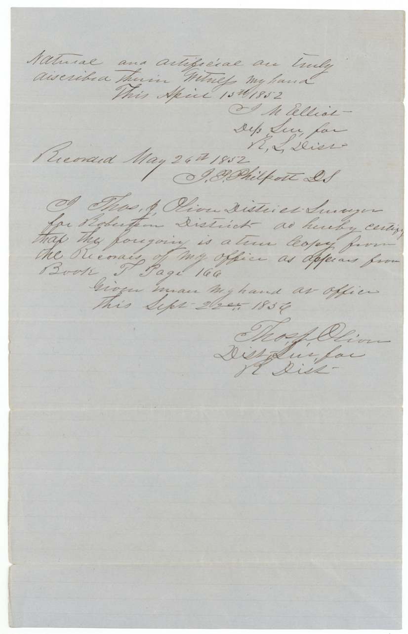
Recorded 26 May 1852; Book T, page 166
The patent
Five surveys patented 1857-01-30; three (1585 ac, 1/3 league, 1467 ac) patented 1858-06-10/11 (dockets give June 16 and 17), Nos. 670, 671, 672, 673, 674 Vol. 12; Nos. 273, 274, 275 Vol. 13, to Navarro County (school lands), delivered to J. C. Cox(?), June 4, 1857 (pencil on wrapper margin).
Also in the file
- Navarro County's school land lies partly in Hill County: of the eight tracts, four are wholly in Hill, three straddle the county line, and only one is entirely in Navarro, so the file carries both Navarro and Hill abstract numbers.
- The commissioner the county court appointed to locate the land, T. R. Kendall, appears to have carried the surveyor's chain himself on two of the surveys (written 'F. R. Kendall').
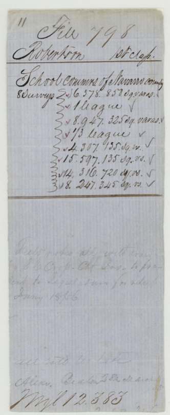
- Surveys made in 1851-52 were not filed in the Land Office until October 1856 and were not patented until 1857 and 1858; a pencil note says the field notes were withdrawn in January 1856 by the county's chief justice to take to the Legislature.
- One tract is described in its field notes as 1,426 acres but the Land Office treated it as a third of a league (about 1,476 acres), and a struck-out note says it covered the same land as the 1,585-acre survey.
- Several tracts are pencilled 'in the reserve' — evidently land set aside from ordinary location — and one docket notes that the county's chief justice directed the GLO to patent it.
- The surveyor's distances were added later in red ink, all measured from Corsicana or Hillsborough.
Timeline
- 26 Jan 1839Republic act appropriating land for a general system of education (county school lands)
- 5 Feb 1840Additional act; fourth section cited for some tracts
- 19 Aug 1850Navarro County Court at Corsicana appoints T. R. Kendall commissioner to locate four leagues of school land
- 3 Sep 1851J. M. Elliot surveys one league on the North Fork of Richland Creek
- 2 Dec 1851Elliot surveys 1130 and 1585 acres on the North Fork of Richland
- 10 Apr 1852Elliot surveys the 1/3-league tract
- 11 Apr 1852Elliot surveys 763 and 2763 acres
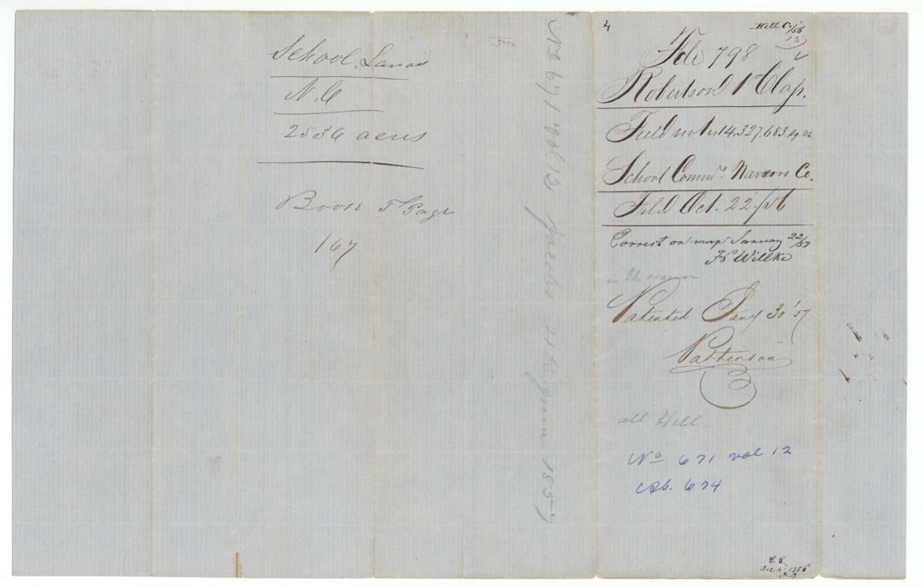
- 12 Apr 1852Elliot surveys 2536 acres
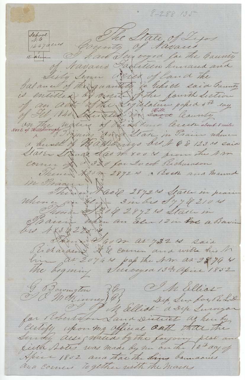
- 13 Apr 1852Elliot surveys the 1467-acre balance near Hillsborough
- 28 Mar 1855County court order filed in the GLO
- Jan 1856Field notes withdrawn by the county chief justice for the Legislature (pencil note)
- 22 Sep 1856Thos. J. Oliver certifies copies of all eight field notes
- 22 Oct 1856Field notes filed in the GLO
- 22 Jan 1857Five surveys checked correct on map (F. Willke)
- 30 Jan 1857Five surveys patented (Nos. 670-674, Vol. 12)
- 19 Feb 1857Oliver draws sketch maps of the school tracts at Springfield
- 11 Mar 1857Remaining three checked correct (C. W. Pressler)
- 4 Jun 1857Patents delivered to J. C. Cox(?)
- 10 Jun 1858Last three surveys patented (Nos. 273-275, Vol. 13)
The papers in the file
Every page of the Land Office file, in the order the Land Office keeps them (33 pages). Tap a page to see it larger.
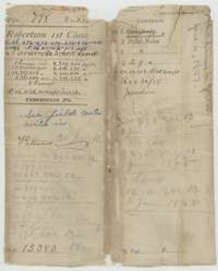 WrapperWrapper for the Navarro County school land file, listing eight surveys and their square varas, with patent notes of January 1857 and June 1858.General Land Office, file 798, page 1 · in the scan
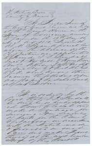 Other papersCertified copy of the Navarro County Court order of 19 August 1850 appointing T. R. Kendall to locate and contract for four leagues of school land.General Land Office, file 798, page 2 · in the scan
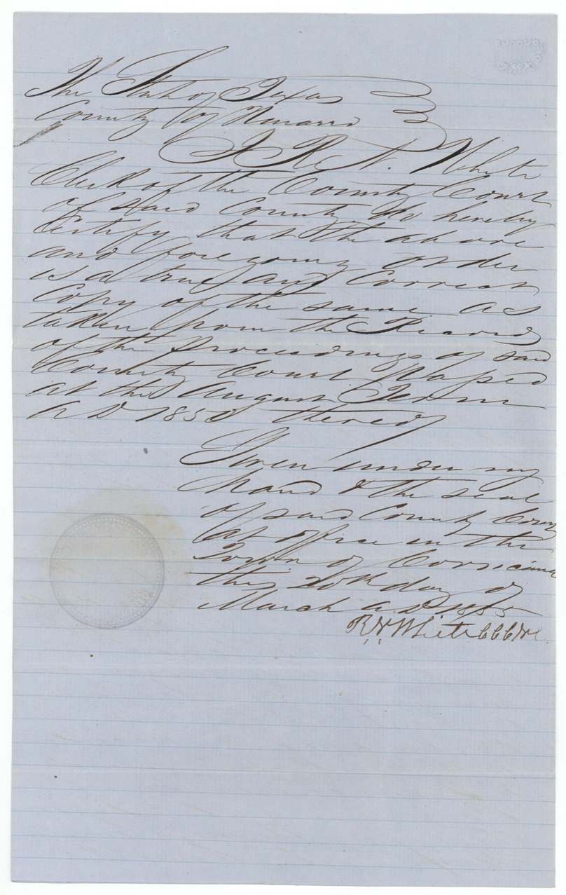
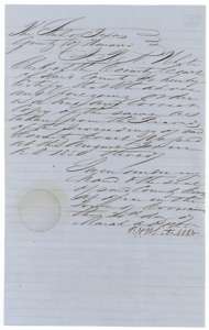 Other papersCounty clerk's certificate that the 1850 court order is a true copy, dated March 1855, with the clerk's seal.General Land Office, file 798, page 3 · in the scan
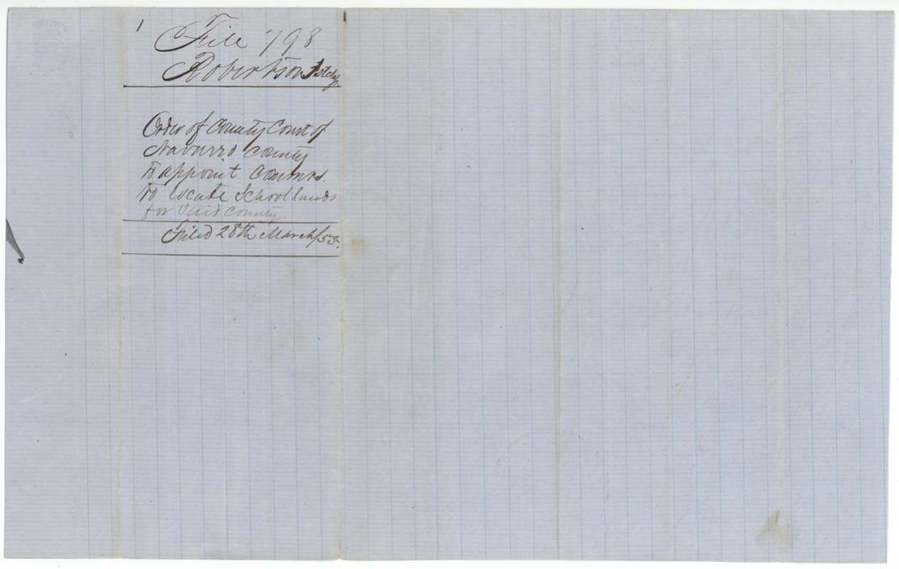
 DocketJacket for the copy of the Navarro County Court order, marked filed in the Land Office on 28 March 1855.General Land Office, file 798, page 4 · in the scan
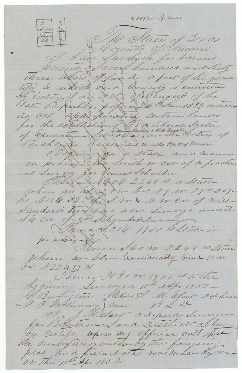
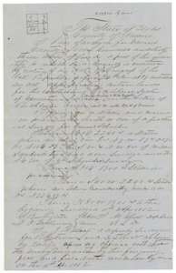 Field notesField notes for 763 acres of Navarro County school land on the waters of Richland Creek, surveyed by deputy surveyor J. M. Elliot, 11 April 1852.General Land Office, file 798, page 5 · in the scan
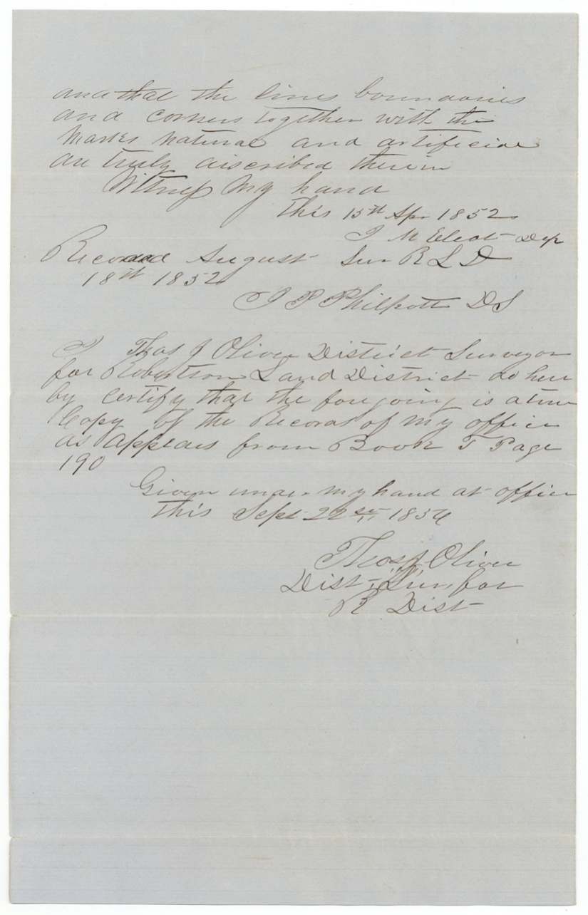
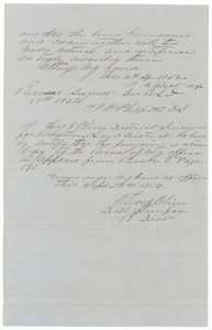 Surveyor's certificateSurveyor's certificate on the 763-acre school land notes, recorded in Book T, and a copy certificate by district surveyor Thos. J. Oliver, 22 September 1856.General Land Office, file 798, page 6 · in the scan
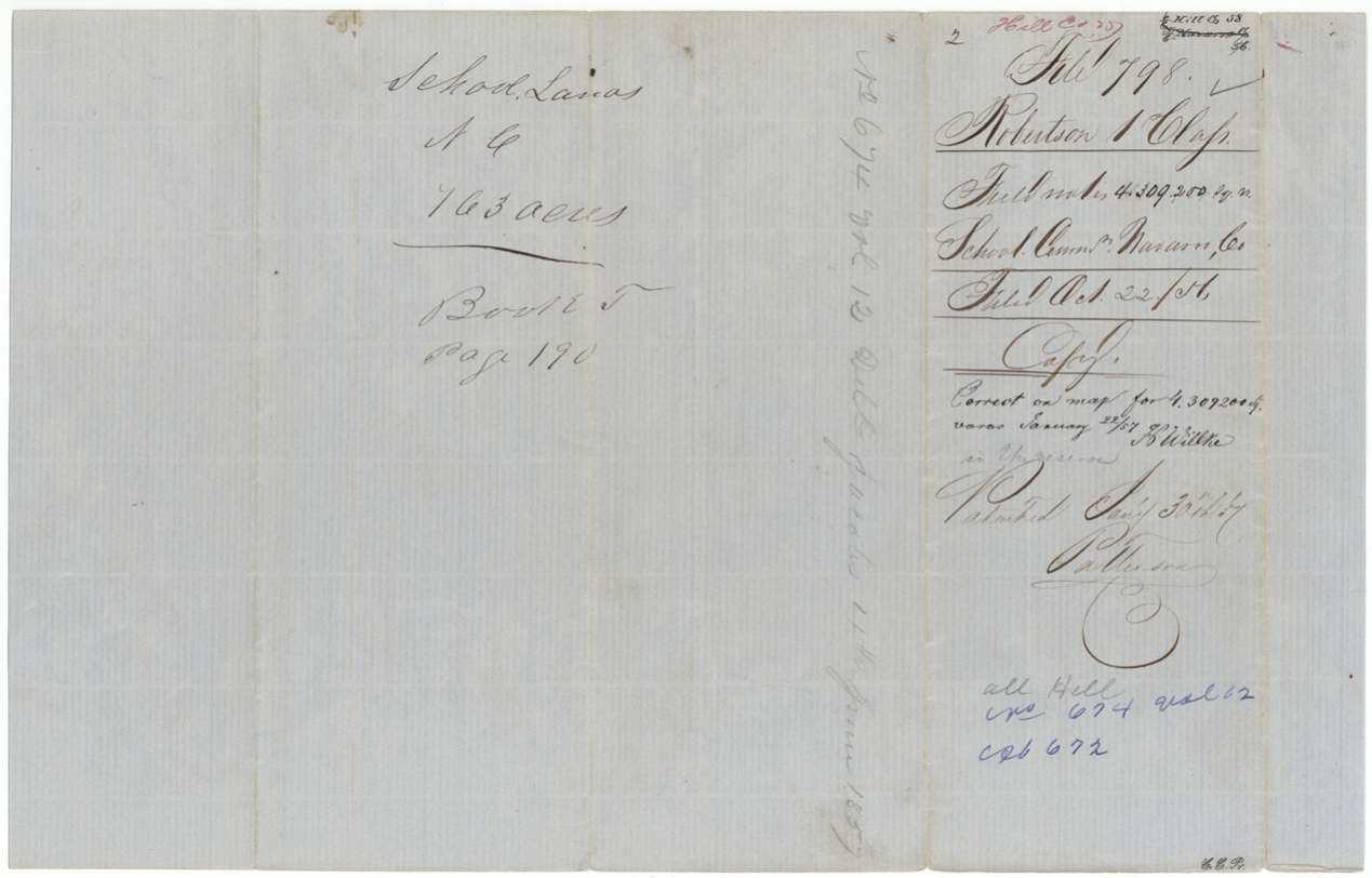
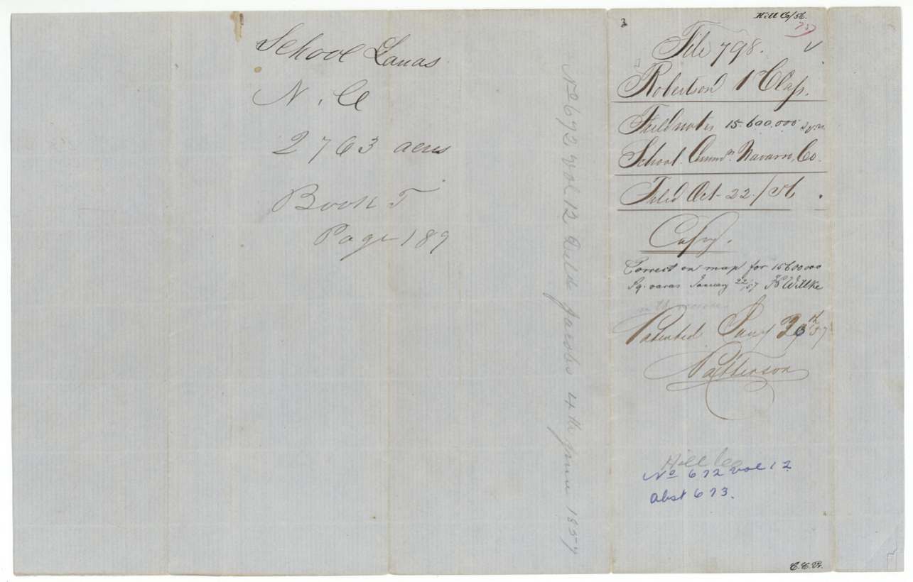
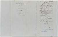 DocketJacket for the 763-acre school land survey, recorded in Book T, page 190, and patented 30 January 1857.General Land Office, file 798, page 7 · in the scan
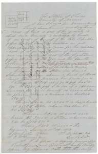 Field notesField notes and plat for 2,763 acres of Navarro County school land on the waters of Richland Creek, surveyed by deputy surveyor J. M. Elliot, 11 April 1852.General Land Office, file 798, page 8 · in the scan
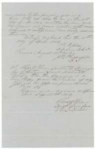 Surveyor's certificateSurveyor's certificate on the 2,763-acre notes, with a copy certificate by district surveyor Thos. J. Oliver, 22 September 1856.General Land Office, file 798, page 9 · in the scan
 DocketJacket for the 2,763-acre school land survey, recorded in Book T, page 187, and patented 30 January 1857.General Land Office, file 798, page 10 · in the scan
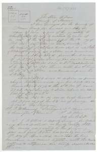 Field notesField notes and plat for 2,536 acres of Navarro County school land on the waters of Richland Creek, surveyed by deputy surveyor J. M. Elliot, 12 April 1852.General Land Office, file 798, page 11 · in the scan
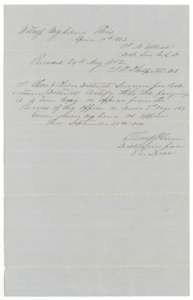 Surveyor's certificateSurveyor's certificate on the 2,536-acre notes, with a copy certificate by district surveyor Thos. J. Oliver, 22 September 1856.General Land Office, file 798, page 12 · in the scan
 DocketJacket for the 2,536-acre school land survey, recorded in Book T, and patented 30 January 1857.General Land Office, file 798, page 13 · in the scan
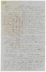 Field notesField notes and plat for the 1,467-acre balance of Navarro County's school land, surveyed by deputy surveyor J. M. Elliot, 13 April 1852.General Land Office, file 798, page 14 · in the scan
 Surveyor's certificateSurveyor's certificate on the 1,467-acre notes, with a copy certificate by district surveyor Thos. J. Oliver, 22 September 1856.General Land Office, file 798, page 15 · in the scan
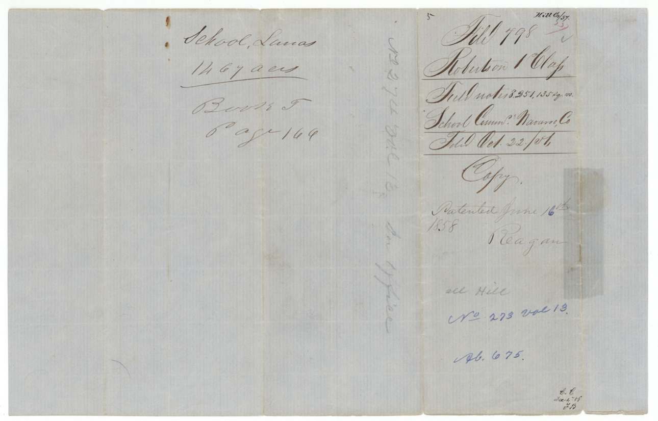
 DocketJacket for the 1,467-acre school land survey, recorded in Book T, and patented in June 1858.General Land Office, file 798, page 16 · in the scan
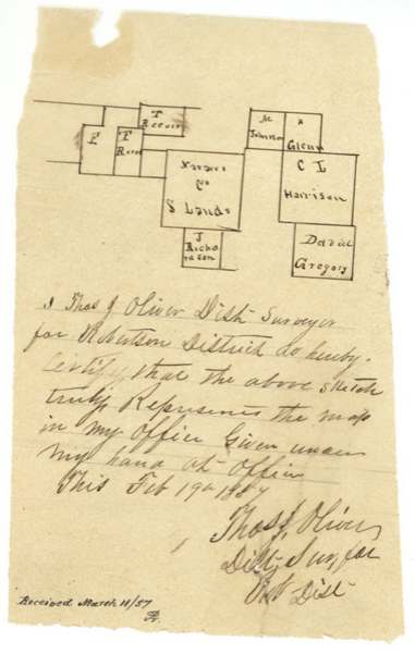
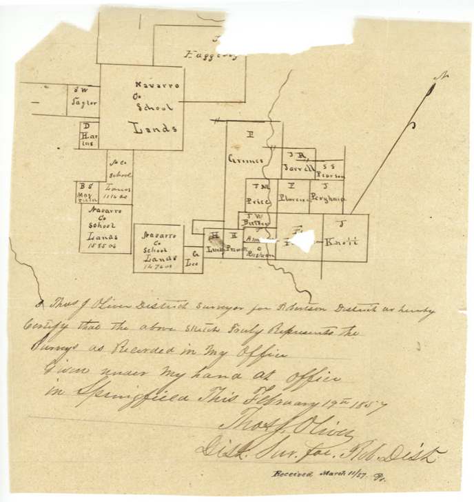
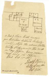 PlatSketch map by district surveyor Thos. J. Oliver, 19 February 1857, showing the Navarro County school tracts among neighbouring surveys.General Land Office, file 798, page 17 · in the scan
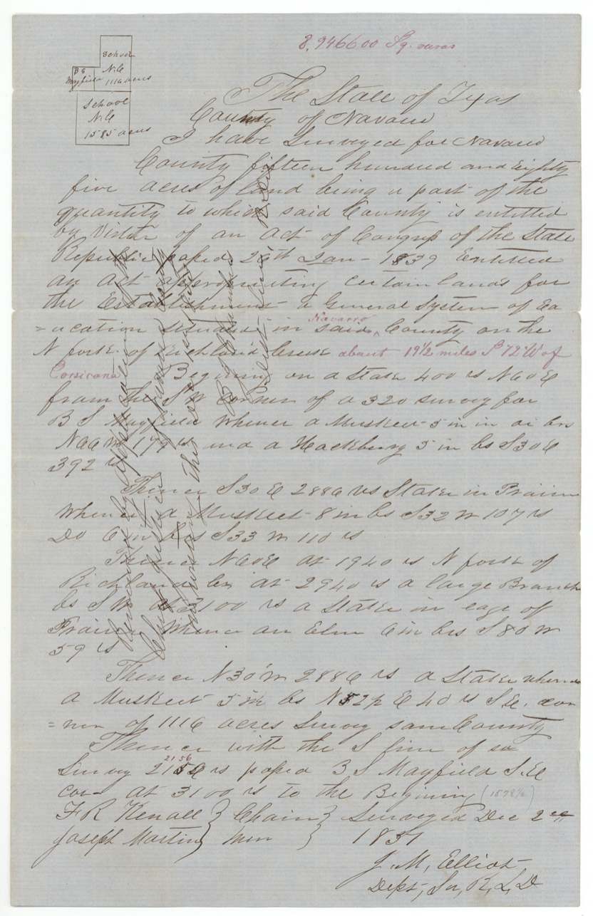
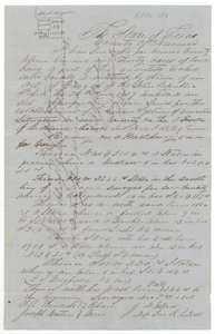 Field notesField notes and plat for 1,130 acres of Navarro County school land on the North Fork of Richland Creek, surveyed by deputy surveyor J. M. Elliot, 2 December 1851.General Land Office, file 798, page 18 · in the scan
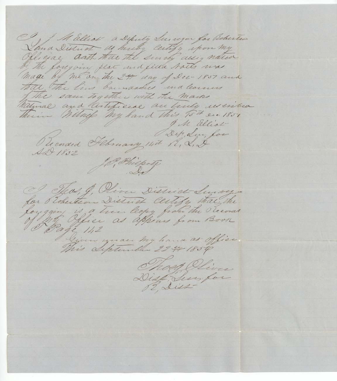
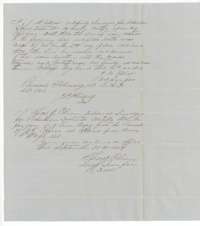 Surveyor's certificateSurveyor's certificate on the 1,130-acre notes, with a copy certificate by district surveyor Thos. J. Oliver, 22 September 1856.General Land Office, file 798, page 19 · in the scan
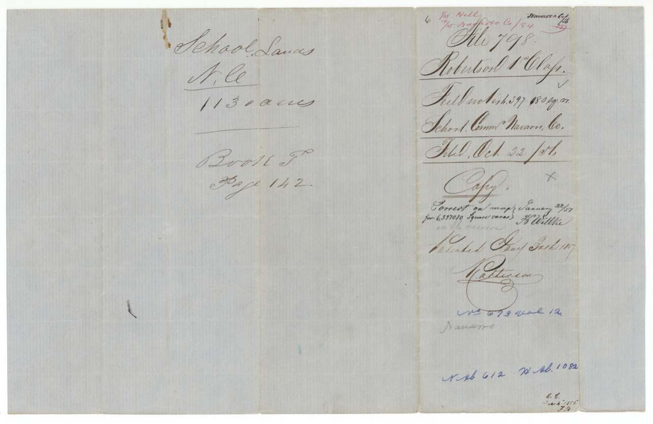
 DocketJacket for the 1,130-acre school land survey, recorded in Book T, page 142, and patented 30 January 1857.General Land Office, file 798, page 20 · in the scan
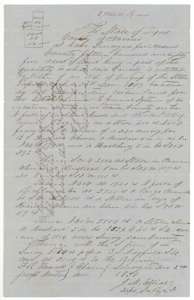 Field notesField notes and plat for 1,585 acres of Navarro County school land on the North Fork of Richland Creek, surveyed by deputy surveyor J. M. Elliot, 2 December 1851.General Land Office, file 798, page 21 · in the scan
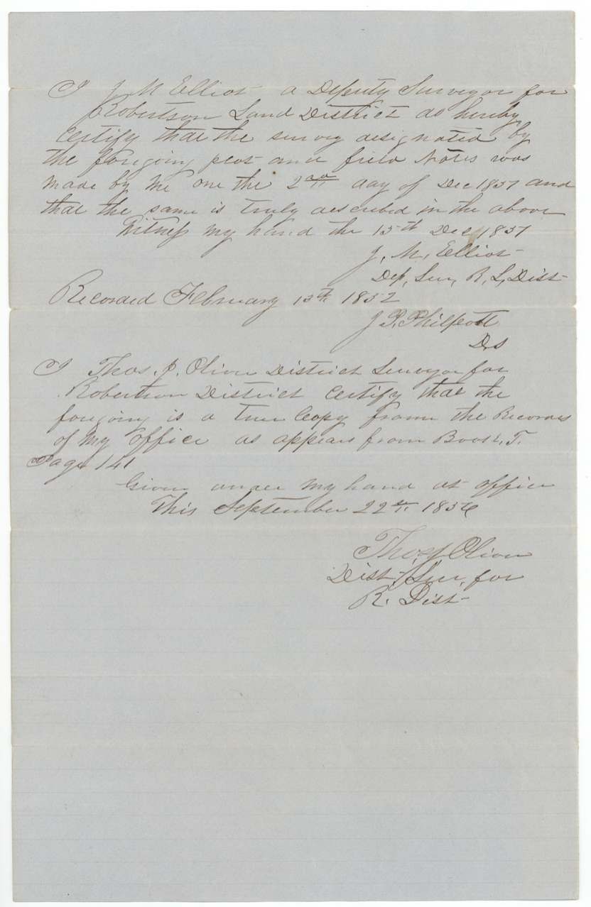
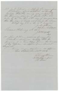 Surveyor's certificateSurveyor's certificate on the 1,585-acre notes, with a copy certificate by district surveyor Thos. J. Oliver, 22 September 1856.General Land Office, file 798, page 22 · in the scan
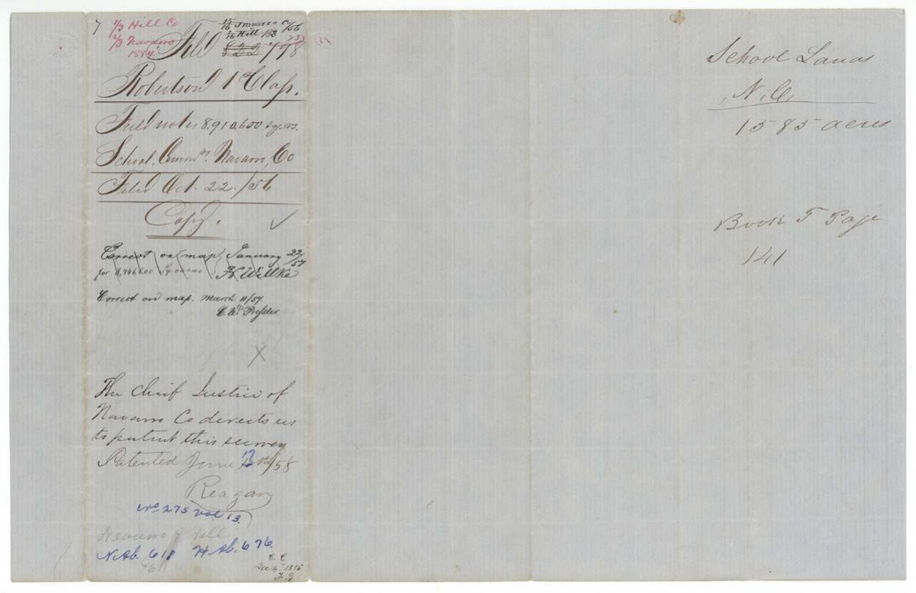
 DocketJacket for the 1,585-acre school land survey, recorded in Book T, page 141, with the chief justice's request to patent it.General Land Office, file 798, page 23 · in the scan
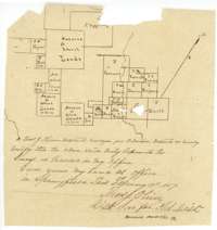 PlatSecond sketch map by district surveyor Thos. J. Oliver, 19 February 1857, showing the Navarro County school lands among neighbouring surveys.General Land Office, file 798, page 24 · in the scan
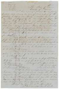 Field notesField notes and plat for one-third of a league of Navarro County school land on the waters of Richland Creek, surveyed by deputy surveyor J. M. Elliot, 10 April 1852.General Land Office, file 798, page 25 · in the scan
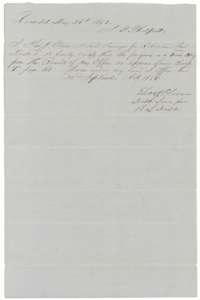 Surveyor's certificateSurveyor's certificate on the one-third league notes, with a copy certificate by district surveyor Thos. J. Oliver, 22 September 1856.General Land Office, file 798, page 26 · in the scan
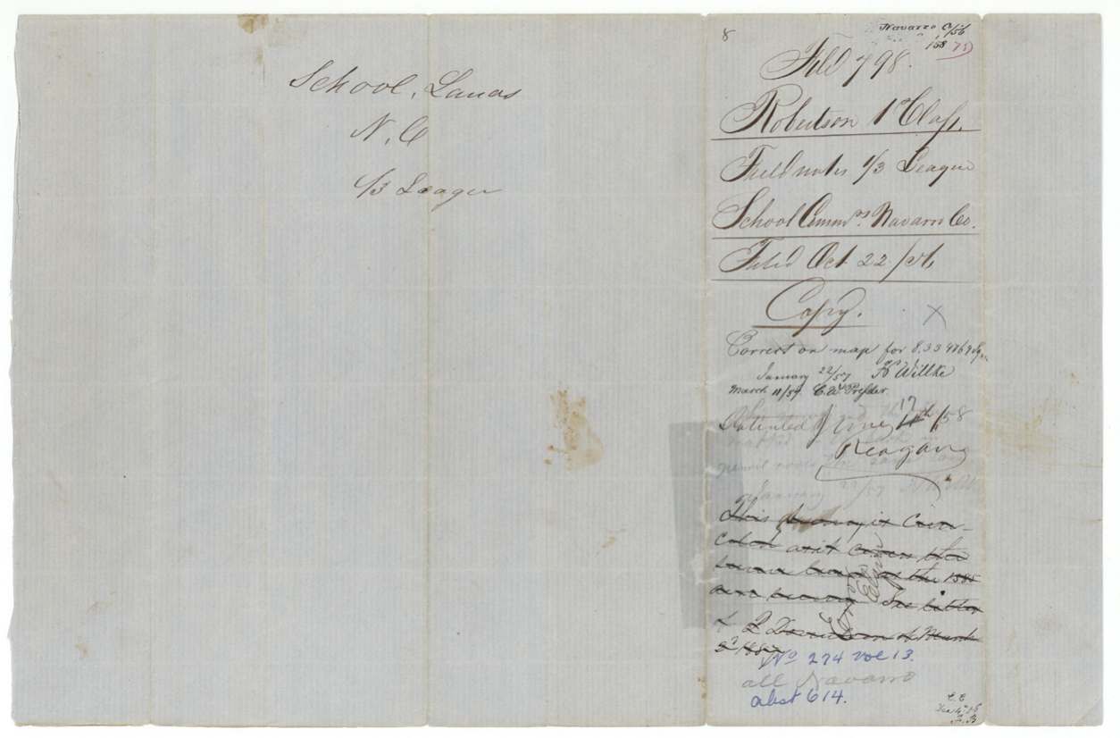
 DocketJacket for the one-third league school land survey, recorded in Book T, page 161, and patented in June 1858.General Land Office, file 798, page 27 · in the scan
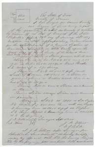 Field notesField notes and plat for one league of Navarro County school land on the North Fork of Richland Creek, surveyed by deputy surveyor J. M. Elliot, 3 September 1851.General Land Office, file 798, page 28 · in the scan
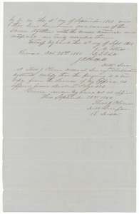 Surveyor's certificateSurveyor's certificate on the one league notes, with a copy certificate by district surveyor Thos. J. Oliver, 22 September 1856.General Land Office, file 798, page 29 · in the scan
 DocketJacket for the one league school land survey on the North Fork of Richland Creek, patented 30 January 1857.General Land Office, file 798, page 30 · in the scan
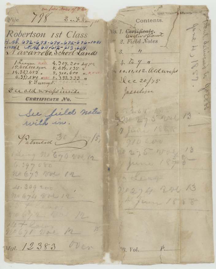
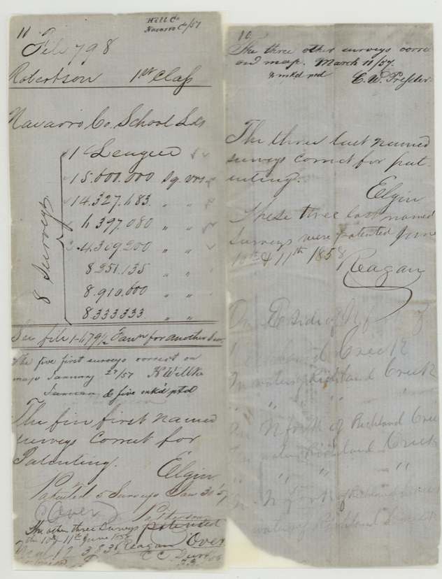
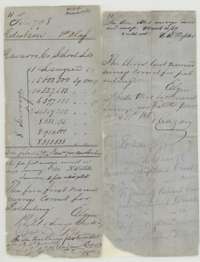 WrapperOlder wrapper for the Navarro County school lands, listing the eight surveys by area, with notes on the patents.General Land Office, file 798, page 31 · in the scan
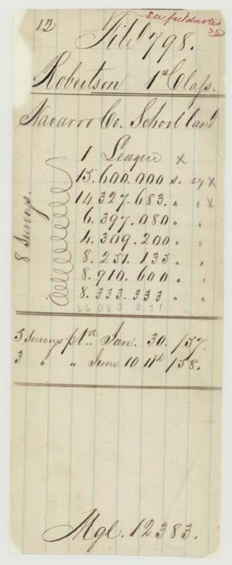
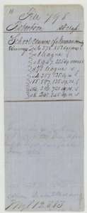 WrapperEarly wrapper for the Navarro County school land file, listing the eight surveys by area.General Land Office, file 798, page 33 · in the scan
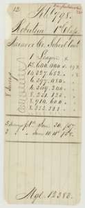 WrapperWrapper listing the eight Navarro County school land surveys, five patented 30 January 1857 and three on 10 June 1858.General Land Office, file 798, page 34 · in the scan
Scans courtesy of the Texas General Land Office, Austin, from its Land Grant Database.
Neighbouring surveys
Sources
- Texas General Land Office, Land Grant Database: Navarro County, Abstract 613
- The Land Office file, scanned (PDF, at the General Land Office)
- 1924 map: courtesy of the Texas General Land Office, Austin, Map 73249, used under licence. Topo: U.S. Geological Survey, The National Map. Aerial photographs: U.S. Department of Agriculture, National Agriculture Imagery Program, 2012, 2018 and 2022. Survey outlines: Railroad Commission of Texas, Original Texas Land Survey. Grant records and files: Texas General Land Office.