Blackland TX · ← All the original surveys
James McGee Survey, Abstract 565
- Granted to
- James McGee
- Kind of grant
- Headright, third classLand for later settlers, including the colonists of Mercer’s Colony.
- Land Office file
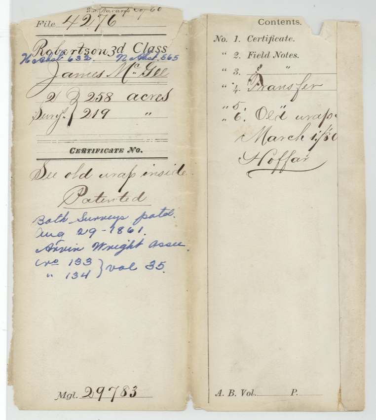
- Robertson 3rd class, file 4276
- Acres
- 219
- Patented to
- Arvin Wright
- Patent
- 29 Aug 1861 · No. 133, Vol. 35
Tap a survey to open its page.
What the file shows
On 2 May 1856 the Hopkins County District Court found that James McGee, a family man, had been a citizen within Mercer's Colony by early 1849, and ordered colony certificate No. 223 for 640 acres. McGee gave 160 acres of it to Richard Grantham and sold 480 acres to T. J. Forsythe, who resold them in January 1857 to Arvin Wright for $225. Deputy surveyor Milton Wright located 258 acres on White Rock Creek in Hill County and 219 acres on Mill and Richland Creeks in Navarro County, about 20 miles west of Corsicana, next to Jefferson Haggerty and the Navarro County school league. Both tracts were patented to Arvin Wright as assignee in August 1861.
The certificate
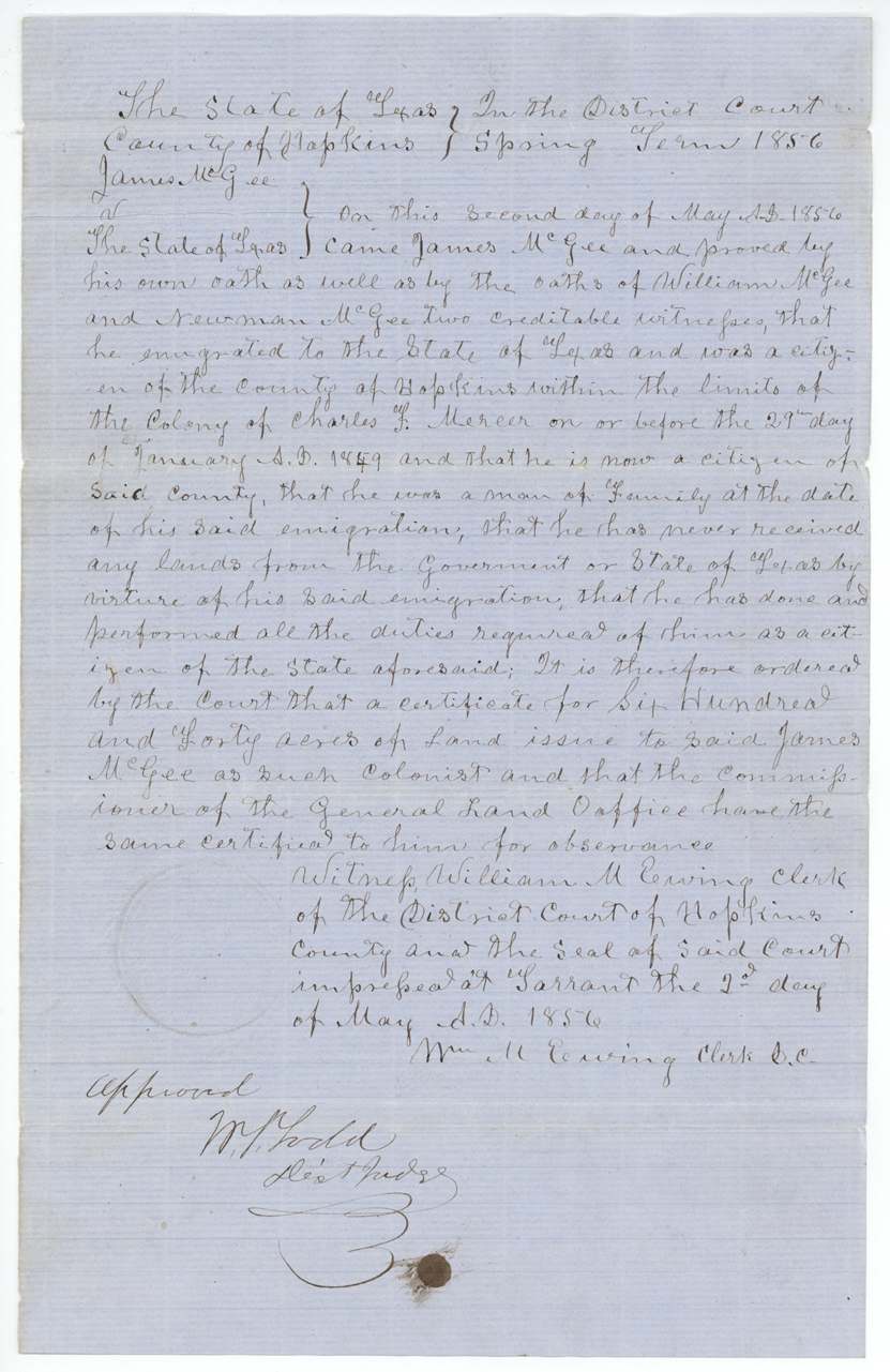
other (Mercer's Colony colonist certificate issued by district court; filed as Robertson 3rd class), No. 223, 640 acres, District Court of Hopkins County, Spring Term 1856 — William M. Ewing, Clerk; approved W. S. Todd(?), District Judge, Tarrant, Hopkins County, 2 May 1856.
Proved by his own oath and the oaths of William McGee and Newman McGee that he emigrated to Texas and was a citizen of Hopkins County within the limits of Charles F. Mercer's Colony on or before 29 January 1849(?), is still a citizen there, was a man of family at the date of emigration, had never received land from the government for that emigration, and had performed all the duties of a citizen
Changes of hand
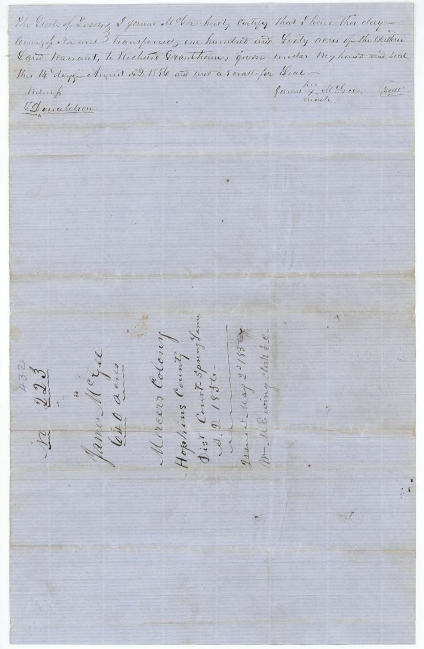
- 14 Aug 1856James McGee (his mark) → Richard Grantham, not stated, Navarro County. 160 acres of the certificate; written on the back of the certificate.
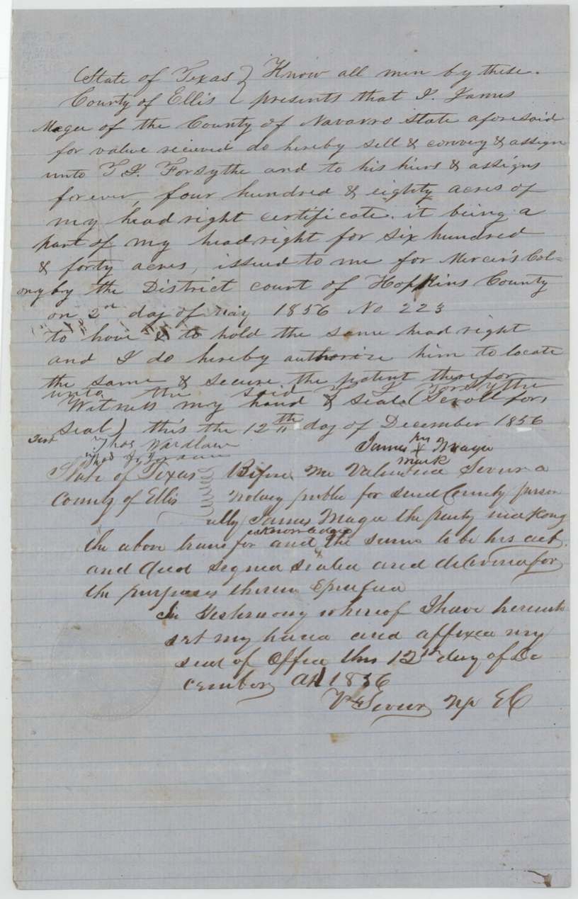
- 12 Dec 1856James Mage [McGee] of Navarro County (his mark) → T. J. Forsythe, his heirs and assigns, 'for value received', Ellis County. 480 acres of the headright, with authority to locate it and secure the patent.
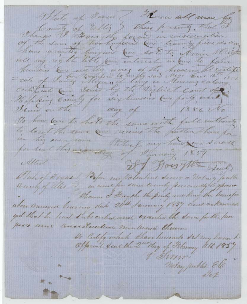
- 20 Jan 1857Thomas J. Forsythe → Arvin Wright, $225, Ellis County. 480 acres, with authority to locate and take patent in Wright's own name. Calls it a 'Murray(?) colony' [Mercer colony] certificate; date and number left blank.
The survey
1857-04-10 (certified 1857-07-08), Milton Wright, Deputy Surveyor, Robertson Land District.
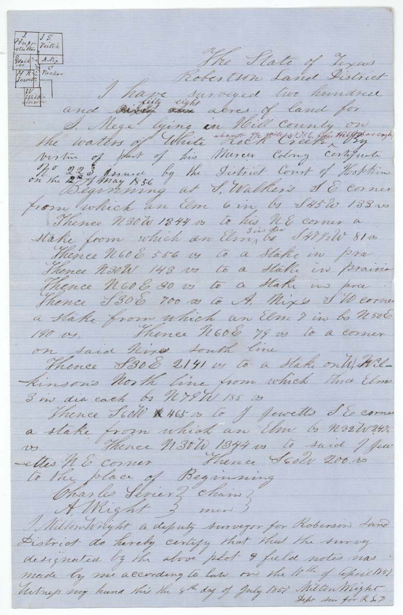
Hill County on the waters of White Rock Creek, about 9½ miles N 75 E from Hill[sboro?]
Chain carriers: Charles Sevier, A. Wright.
Book L, page 403
The survey
1857-07-06 (certified 1857-07-07), Milton Wright, Deputy Surveyor, Robertson Land District.
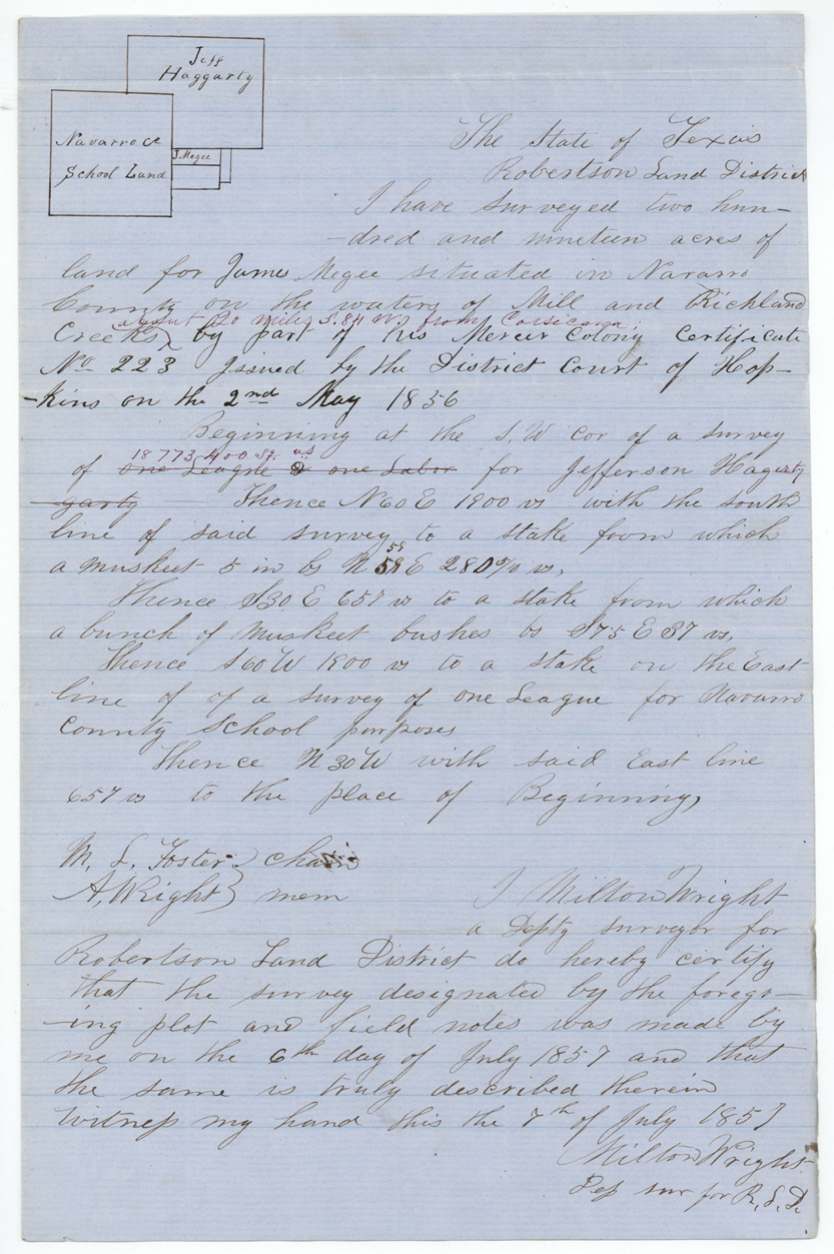
Navarro County on the waters of Mill and Richland Creeks, about 20 miles S 84 W from Corsicana
Chain carriers: M. L. Foster, A. Wright.
Book L, page 401
The patent
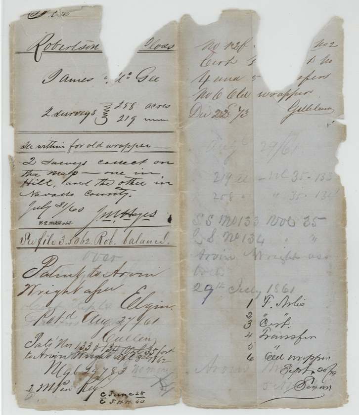
1861-08-27 (both surveys; blue note on outer wrapper says Aug 29 1861), No. 133 and No. 134, Vol. 35, to Arvin Wright, assignee, delivered to Arvin Wright, Apl 8 1862 (reading of 'Pat. Nos 133 & 134 Vol 35 ford(?) to Arvin Wright Apl 8 1862').
Also in the file
- One 640-acre certificate was split three ways: 160 acres to Richard Grantham, and 480 acres to T. J. Forsythe, who resold them a month later to Arvin Wright for $225.
- Wright used his 480 acres for two separate tracts in two counties — 258 acres in Hill County and 219 acres in Navarro County — and the unused balance went to another file (Rob 3-5062).
- McGee signed by mark, and his name is spelled McGee, Megee and Mage across the papers.
- The Forsythe-to-Wright deed left the certificate date and number blank, and a note says the certificate was in the Austin land office and its date 'forgotten'.
- The Navarro tract sits beside a league surveyed for Navarro County school purposes.
Timeline
- 29 Jan 1849Date by which McGee proved he was a citizen of Hopkins County within Mercer's Colony (reading uncertain)
- 2 May 1856Hopkins County District Court orders Mercer colony certificate No. 223 for 640 acres to James McGee
- 14 Aug 1856McGee transfers 160 acres of the certificate to Richard Grantham
- 12 Dec 1856McGee sells 480 acres of it to T. J. Forsythe in Ellis County
- 20 Jan 1857Forsythe sells the 480 acres to Arvin Wright for $225
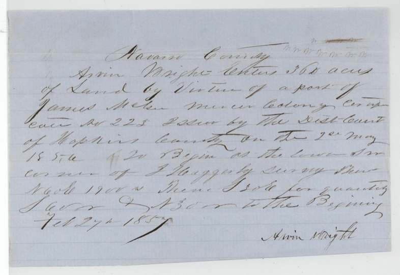
- 27 Feb 1857Arvin Wright files entry in Navarro County beside J. Haggerty
- 10 Apr 1857258 acres surveyed on White Rock Creek, Hill County
- 6 Jul 1857219 acres surveyed on Mill and Richland Creeks, Navarro County, ~20 miles W of Corsicana
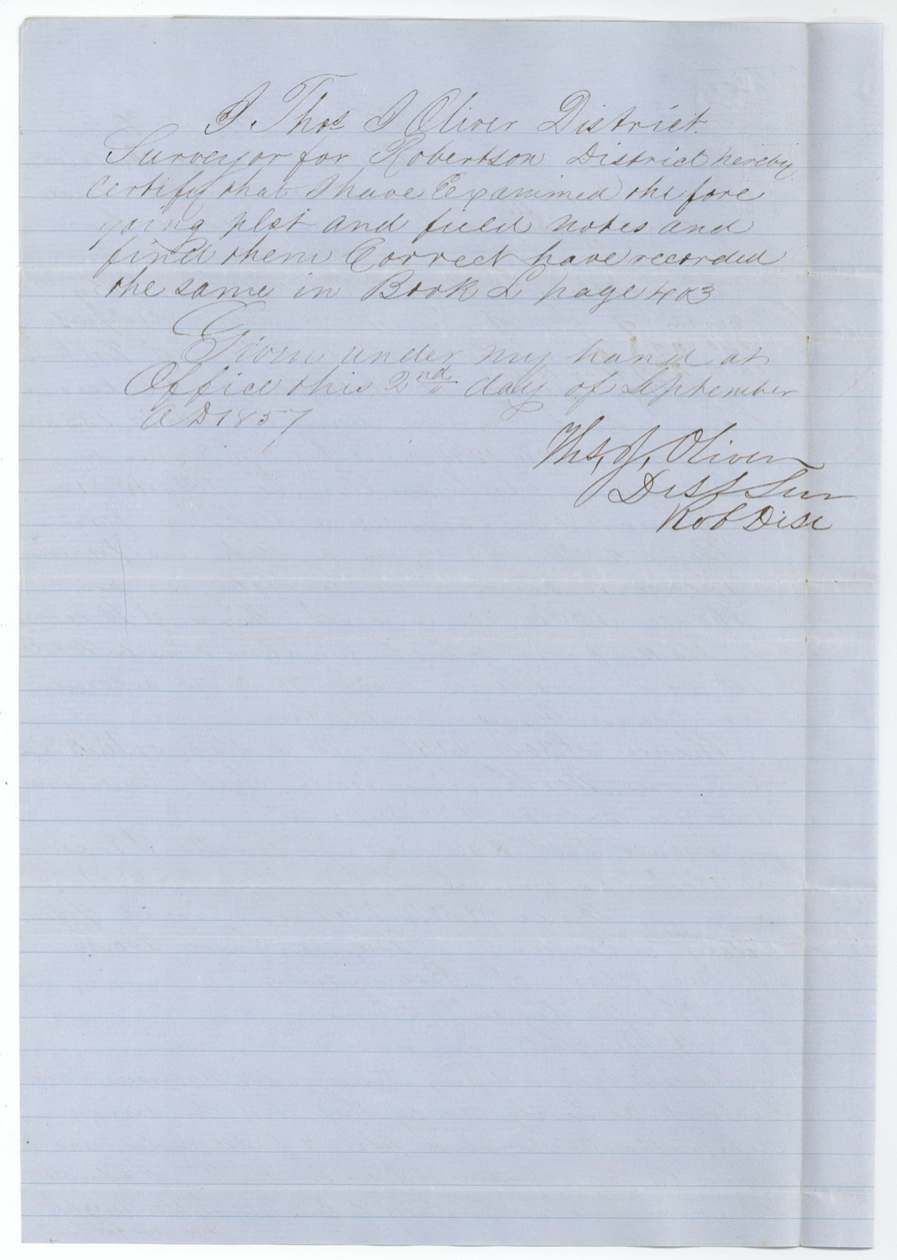
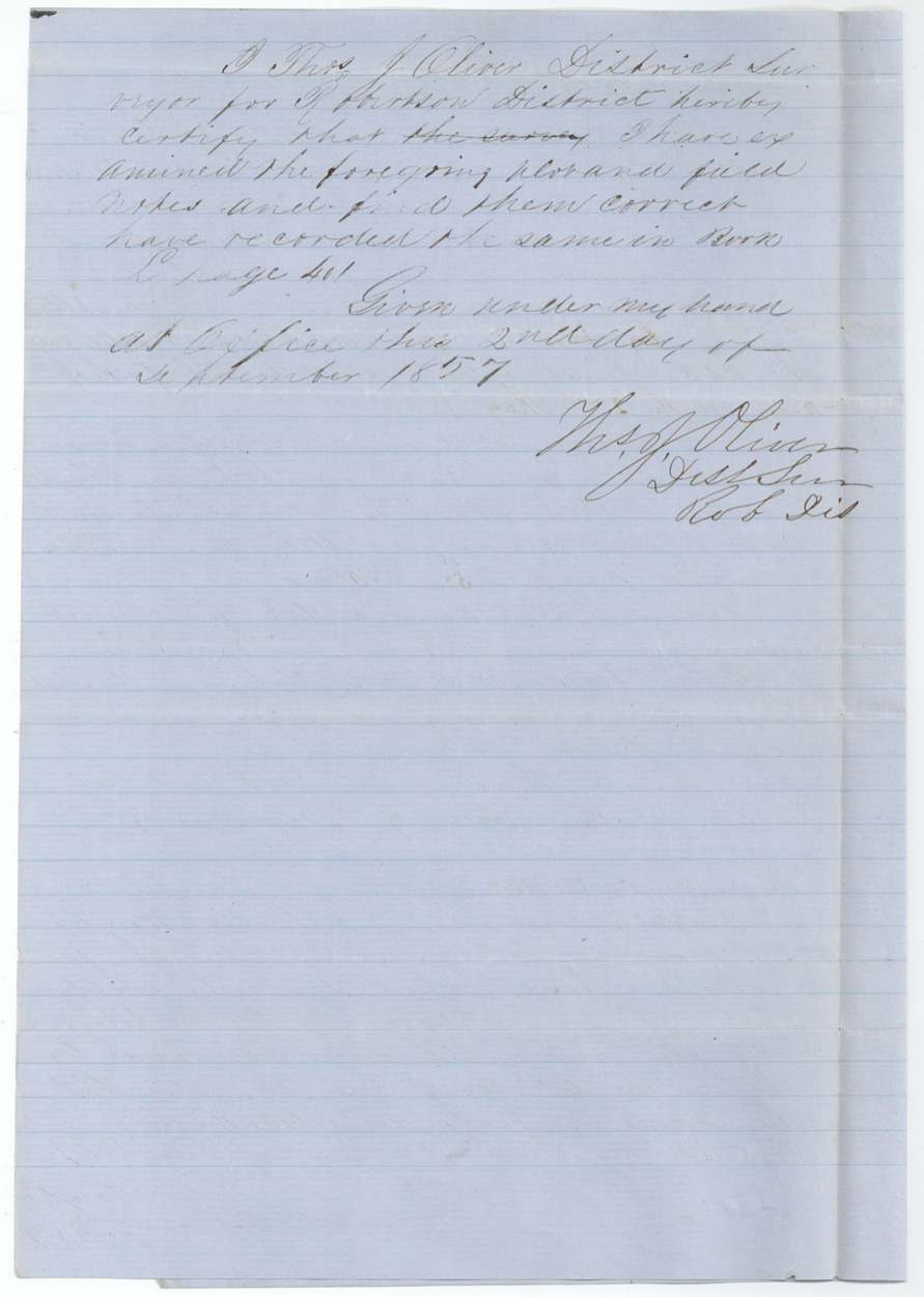
- 2 Sep 1857Both surveys recorded, Book L pp. 401 and 403
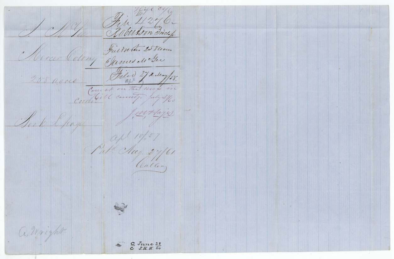
- 27 May 1858Papers filed in GLO
- 31 Jul 1860Both surveys checked correct on the maps
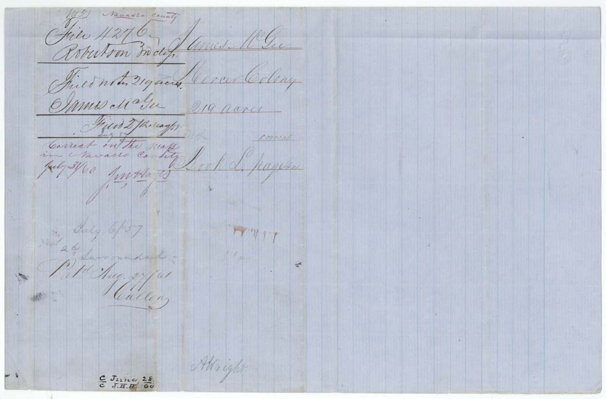
- 27 Aug 1861Patents Nos. 133 and 134 Vol. 35 to Arvin Wright, assignee
- 8 Apr 1862Patents delivered to Arvin Wright (reading)
The papers in the file
Every page of the Land Office file, in the order the Land Office keeps them (18 pages). Tap a page to see it larger.
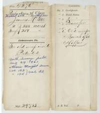 File jacketFile jacket for James McGee's two surveys, 258 acres in Hill County and 219 acres in Navarro County, with the patent note of August 1861.General Land Office, file 4276, page 1 · in the scan
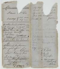 WrapperOld wrapper listing the two McGee surveys, with the filing notes and the patent entry to Arvin Wright, August 1861.General Land Office, file 4276, page 2 · in the scan
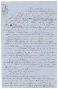 Field notesField notes and sketch for 258 acres on White Rock Creek, Hill County, surveyed for James McGee by deputy surveyor Milton Wright, 10 April 1857.General Land Office, file 4276, page 3 · in the scan
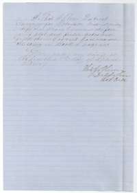 Surveyor's certificateDistrict surveyor Thomas J. Oliver's certificate that he examined the 258-acre field notes and found them correct, 2 September 1857.General Land Office, file 4276, page 4 · in the scan
 WrapperFiling wrapper for the 258-acre Hill County survey, with the Mercer Colony note and the record reference.General Land Office, file 4276, page 5 · in the scan
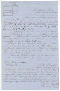 Field notesField notes and sketch for 219 acres on Mill and Richland Creeks, Navarro County, surveyed for James McGee by deputy surveyor Milton Wright, 6 July 1857.General Land Office, file 4276, page 6 · in the scan
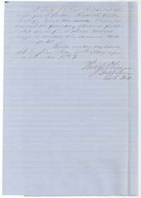 Surveyor's certificateDistrict surveyor Thomas J. Oliver's certificate that he examined the 219-acre field notes and found them correct, 2 September 1857.General Land Office, file 4276, page 7 · in the scan
 WrapperFiling wrapper for the 219-acre Navarro County survey, with the record reference and the patent note of 1861.General Land Office, file 4276, page 8 · in the scan
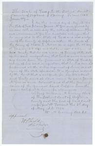 CertificateMercer Colony certificate No. 223 for 640 acres, ordered for James McGee by the Hopkins County District Court on 2 May 1856.General Land Office, file 4276, page 9 · in the scan
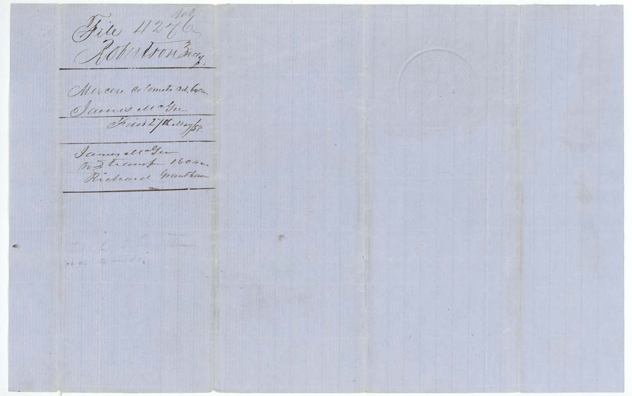
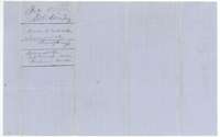 WrapperFiling wrapper for the McGee certificate, with a note of the 160-acre transfer to Richard Grantham.General Land Office, file 4276, page 10 · in the scan
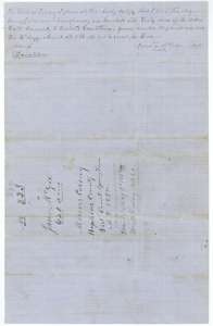 Back of the certificateBack of the certificate, with James McGee's transfer of 160 acres to Richard Grantham, 14 August 1856, and the certificate endorsement.General Land Office, file 4276, page 11 · in the scan
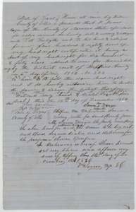 TransferDeed of 12 December 1856 in which James McGee sells 480 acres of his headright to T. J. Forsythe, with a notary's acknowledgment in Ellis County.General Land Office, file 4276, page 12 · in the scan
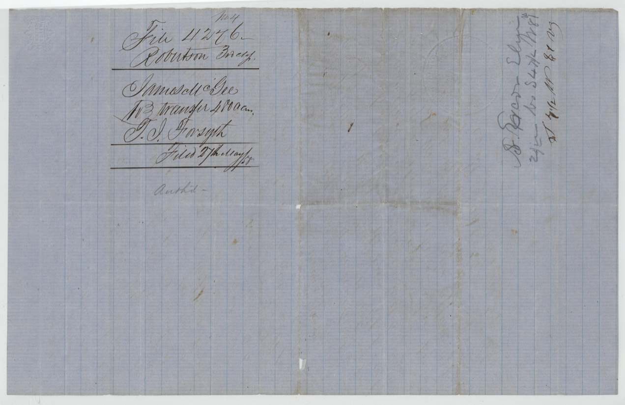
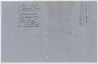 WrapperFiling wrapper for the McGee to Forsythe transfer of 480 acres.General Land Office, file 4276, page 13 · in the scan
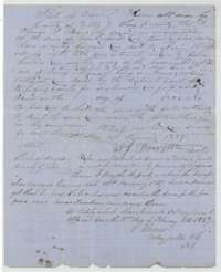 TransferDeed of 20 January 1857 in which Thomas J. Forsythe sells the 480 acres to Arvin Wright, acknowledged before a notary in Ellis County.General Land Office, file 4276, page 14 · in the scan
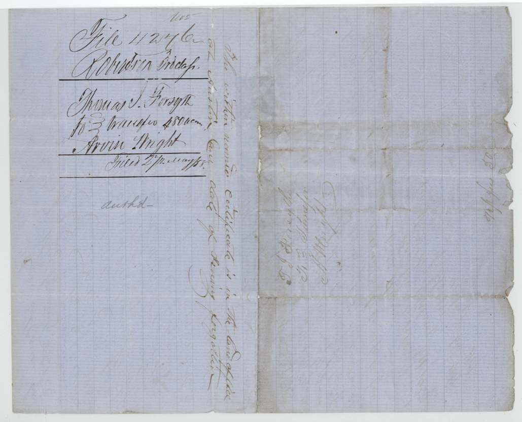
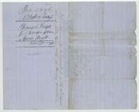 WrapperFiling wrapper for the Forsythe to Arvin Wright transfer of $500.General Land Office, file 4276, page 15 · in the scan
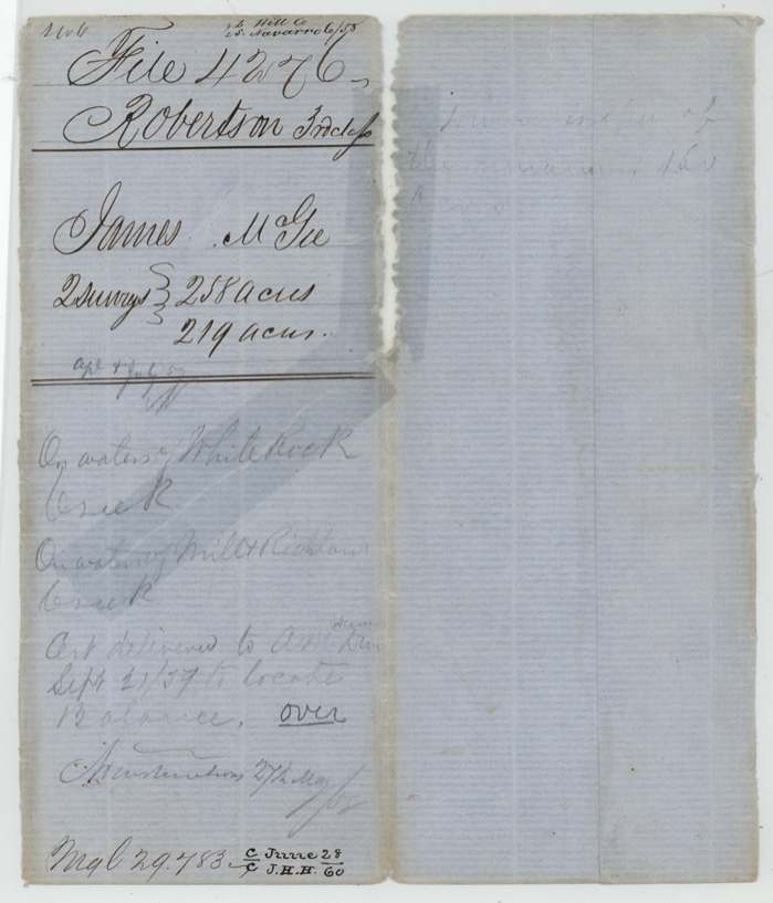
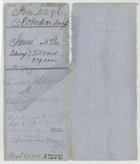 File jacketOlder file jacket for James McGee's two surveys of 258 and 219 acres, with notes on the Mill Creek location.General Land Office, file 4276, page 16 · in the scan
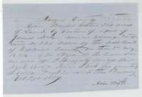 Other papersArvin Wright's entry of 27 February 1857 in Navarro County, claiming land by part of James McGee's Mercer Colony certificate beside the Haggerty survey.General Land Office, file 4276, page 17 · in the scan
 WrapperBack of the entry, with faint pencil notes.General Land Office, file 4276, page 18 · in the scan
Scans courtesy of the Texas General Land Office, Austin, from its Land Grant Database.
Neighbouring surveys
Sources
- Texas General Land Office, Land Grant Database: Navarro County, Abstract 565
- The Land Office file, scanned (PDF, at the General Land Office)
- 1924 map: courtesy of the Texas General Land Office, Austin, Map 73249, used under licence. Topo: U.S. Geological Survey, The National Map. Aerial photographs: U.S. Department of Agriculture, National Agriculture Imagery Program, 2012, 2018 and 2022. Survey outlines: Railroad Commission of Texas, Original Texas Land Survey. Grant records and files: Texas General Land Office.