Blackland TX · ← All the original surveys
Jefferson Haggerty Survey, Abstract 334
- Granted to
- Jefferson Haggerty
- Kind of grant
- Headright, first classLand for settlers who were in Texas before independence, 2 March 1836.
- Land Office file
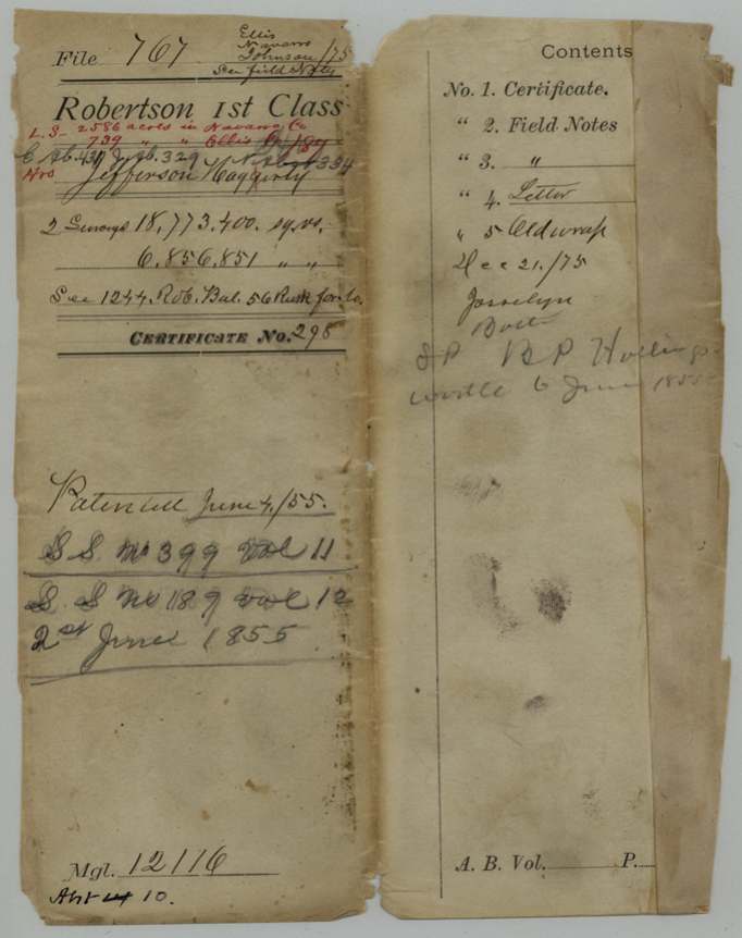
- Robertson 1st class, file 767
- Certificate
- No. 298
- Acres
- 3325
- Patented to
- Heirs of Jeff Haggerty
- Patent
- 02 Jun 1855 · No. 189, Vol. 12
Tap a survey to open its page.
What the file shows
Jefferson Haggerty, who came to Texas in 1834 as a married man, received a first-class certificate for a league and labor from the San Augustine County board in 1838. Parts were located in the 1840s and sold, and by the 1850s S. P. Hollingsworth controlled the remainder, over a written protest from the heirs' agent that the transfer to him was a fraud. In 1854 two surveys were made under it - about 3,325 acres on Mill Creek in Navarro and Ellis counties and about 1,215 acres in Johnson County. Both were patented in June 1855 to the heirs of Jefferson Haggerty, with Hollingsworth paying the fees.
The certificate
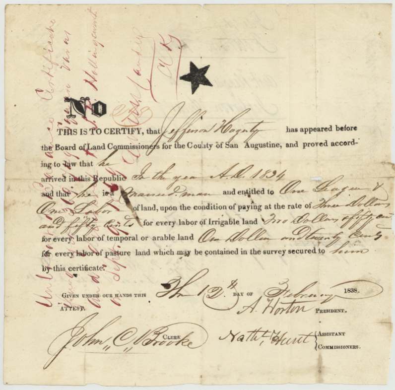
headright 1st class, No. 298, One league and one labor (about 4,605 acres), Board of Land Commissioners for San Augustine County - A. Horton, President; Nath. Hunt, Associate Commissioner; John C. Brooke, Clerk, San Augustine County, 12 Feb 1838.
Proved he arrived in the Republic in 1834 and is a married man
Changes of hand
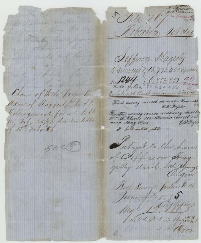
- not stated (chain of title forwarded to B. H. on 25 Feb 1855)Administrator of Jefferson Haggerty's estate → S. P. Hollingsworth, not stated, not stated. Only a jacket note: 'Chain of title from the Adm. of Haggerty's est. to S. P. Hollingsworth forwd. to B. H. Feby 25/55. See his letter of 15th Feby 55.' The deeds are not in this file.
- before 1853Jefferson Haggerty or his estate → Ira Ellis. 2,326 acres; mentioned only in the 1853 protest letter, which accepts this transfer as correct
The survey
1854-05-05 and 06 (certified 1854-05-08), B. P. Hollingsworth, Deputy Surveyor, Robertson Land District.
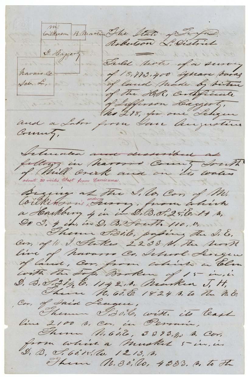
Navarro County south of Mill Creek and on its waters, about 20 miles west from Corsicana (red ink addition); jacket: 2,586 acres in Navarro Co. and 739 acres in Ellis Co.
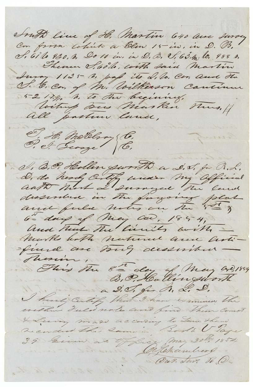
Chain carriers: T. H. McElroy(?), P. J. George(?).
Book U, page 39
The survey
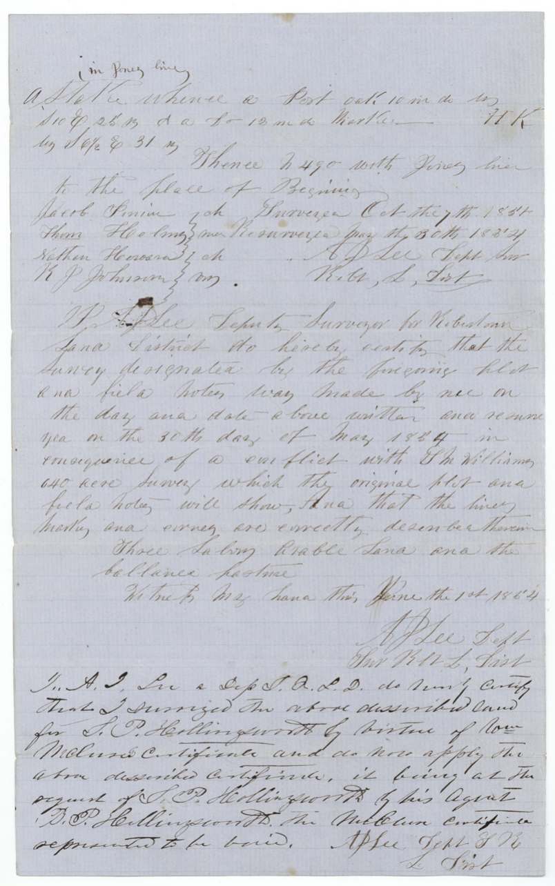
first surveyed Oct. 7, 185_; resurveyed 1854-05-30; certified 1854-06-01, A. J. Lee, Deputy Surveyor, Robertson Land District.
Johnson County (Ellis struck out), in the Lower Cross Timbers, about 10 miles N 73 E from Wardville(?)
Chain carriers: Jacob Swim(?), Thom. Holmes(?), Nathan Howard, K. J. Johnson.
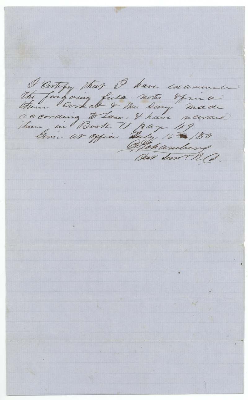
Book U, page 49
The patent
1855-06-02 / 1855-06-04 (both dates appear), No. 399 Vol. 11 and No. 189 Vol. 12 (one per survey), to The heirs of Jefferson Haggerty, deceased (both surveys), delivered to B. P. Hollingsworth(?), 6 June 1855.
Also in the file
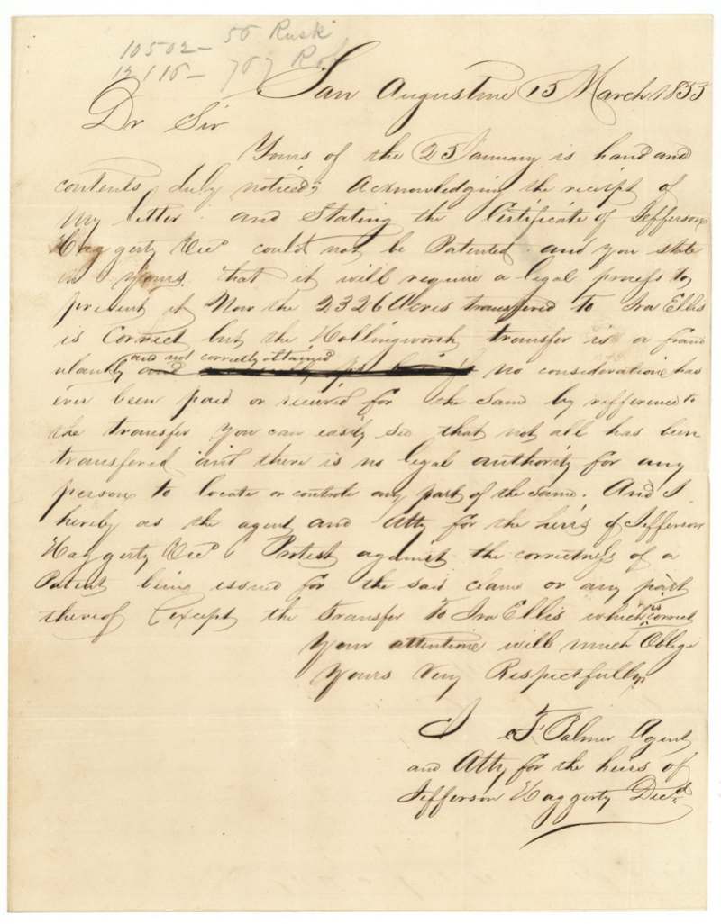
- In March 1853 the agent for Haggerty's heirs protested to the Land Office that the transfer of the certificate to Hollingsworth was fraudulent - 'no consideration has ever been paid or received' - and asked that no patent issue except for the 2,326 acres transferred to Ira Ellis.
- Two years later the Land Office was sent a chain of title from Haggerty's estate administrator to S. P. Hollingsworth, and both surveys were patented in the name of Haggerty's heirs, with Hollingsworth paying the fees.
- The Johnson County tract was first surveyed for Hollingsworth under a different man's certificate (Wm. McClure's), which was then said to be void, so Haggerty's certificate was put on the same land instead.
- The surveyor of the Navarro tract, B. P. Hollingsworth, was the agent of the man who controlled the certificate.
- Part of the certificate had already been located in the Rusk District in the 1840s before these 1854 surveys.
Timeline
- 1834Jefferson Haggerty arrives in Texas, a married man
- 12 Feb 1838San Augustine County board issues first-class certificate No. 298 for a league and labor
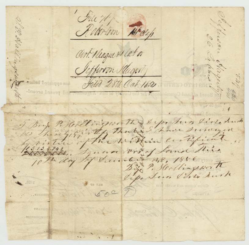
- 184_-12-10B. P. Hollingsworth surveys 13,134,942 sq varas under the certificate (Rusk District)
- Sep 1849Unlocated balance certificate delivered to S. P. Hollingsworth (red-ink note; date uncertain)
- 15 Mar 1853Heirs' agent protests the Hollingsworth transfer as fraudulent
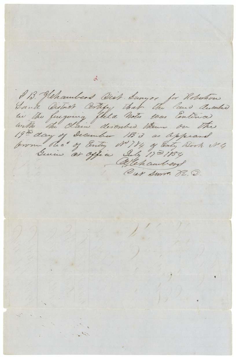
- 19 Dec 1853Land entered in Robertson District, Entry No. 784
- 6 May 1854Hollingsworth surveys 18,773,400 sq varas on Mill Creek, Navarro/Ellis
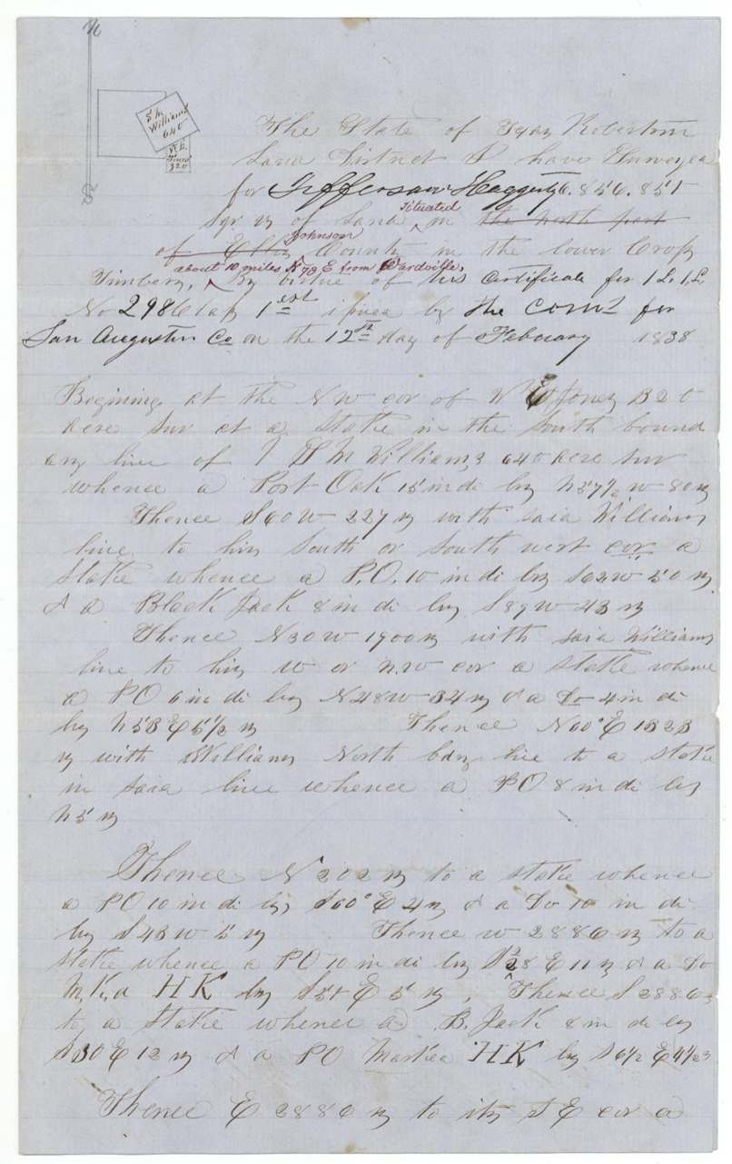
- 30 May 1854A. J. Lee resurveys 6,856,851 sq varas in Johnson County
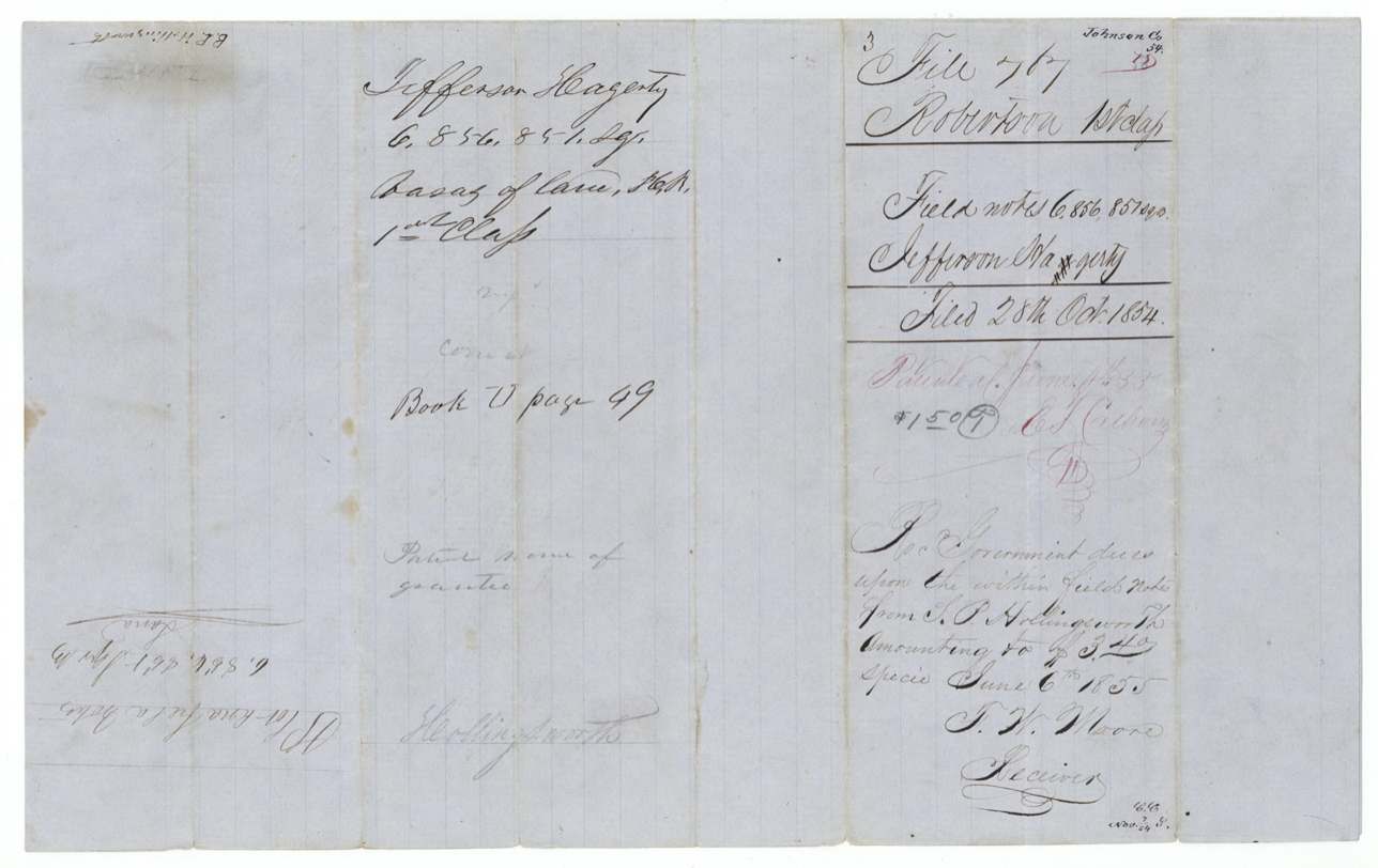
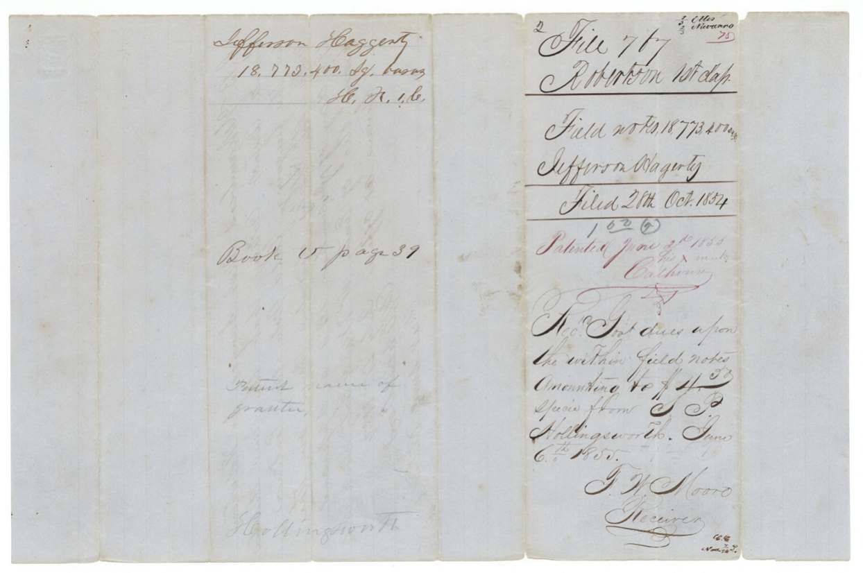
- 28 Oct 1854Field notes filed in the GLO
- 25 Feb 1855Chain of title from Haggerty's administrator to Hollingsworth forwarded
- 4 Jun 1855Both surveys patented to the heirs of Jefferson Haggerty
- 6 Jun 1855Hollingsworth pays the government dues
The papers in the file
Every page of the Land Office file, in the order the Land Office keeps them (14 pages). Tap a page to see it larger.
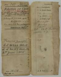 File jacketFile jacket for Jefferson Haggerty's headright certificate No. 298, listing the certificate, field notes and a letter; patented in two surveys on 4 June 1855.General Land Office, file 767, page 1 · in the scan
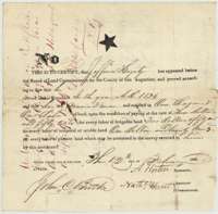 CertificateHeadright certificate No. 298 for one league and one labor, issued to Jefferson Haggerty by the San Augustine County land board on 12 February 1838.General Land Office, file 767, page 2 · in the scan
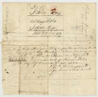 Back of the certificateBack of the certificate, with deputy surveyor B. P. Hollingsworth's endorsement of a survey made under it and the Land Office filing note of 28 October 1854.General Land Office, file 767, page 3 · in the scan
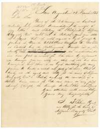 LetterLetter from San Augustine, 15 March 1853, from the agent for the heirs of Jefferson Haggerty protesting the transfer of land under the certificate.General Land Office, file 767, page 4 · in the scan
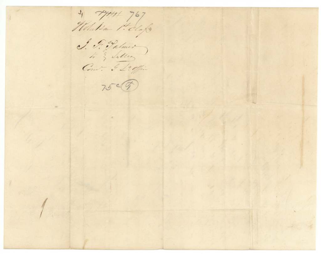
 WrapperFolded wrapper of the 1853 letter from the agent of Jefferson Haggerty's heirs, endorsed with the file number.General Land Office, file 767, page 5 · in the scan
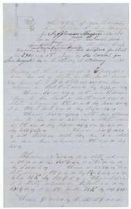 Field notesField notes of a survey of 6,856,851 square varas in Johnson County for Jefferson Haggerty, made by deputy surveyor A. J. Lee in 1854.General Land Office, file 767, page 6 · in the scan
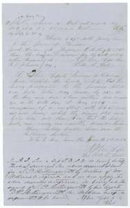 Surveyor's certificateDeputy surveyor A. J. Lee's certificates of 1 June 1854 that the Johnson County tract was resurveyed because of a boundary conflict and Haggerty's certificate applied.General Land Office, file 767, page 7 · in the scan
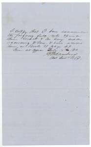 Surveyor's certificateDistrict surveyor's certificate of 15 July 1854 that the Johnson County field notes are correct and recorded in Book U, page 49.General Land Office, file 767, page 8 · in the scan
 WrapperWrapper for the Johnson County field notes of Jefferson Haggerty, 6,856,851 square varas, filed 28 October 1854.General Land Office, file 767, page 9 · in the scan
 WrapperWrapper for the Haggerty field notes, with notes on the chain of title and the patent to the heirs of Jefferson Haggerty dated 4 June 1855.General Land Office, file 767, page 10 · in the scan
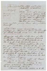 Field notesField notes of 18,773,400 square varas for Jefferson Haggerty south of Mill Creek in Navarro County, surveyed by deputy surveyor B. P. Hollingsworth in May 1854.General Land Office, file 767, page 11 · in the scan
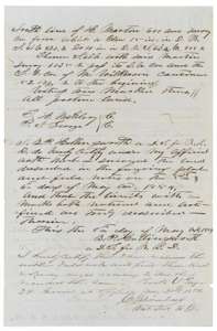 Surveyor's certificateEnd of the Navarro County field notes, with Hollingsworth's certificate of 8 May 1854 and the district surveyor's examination, recorded in Book U, page 39.General Land Office, file 767, page 12 · in the scan
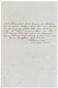 CertificateDistrict surveyor's certificate of 17 July 1854 that the land was entered on 19 December 1853, Entry No. 784.General Land Office, file 767, page 13 · in the scan
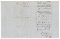 WrapperWrapper for the Navarro County field notes of Jefferson Haggerty, 18,773,400 square varas, filed 28 October 1854, with a 6 June 1855 payment note.General Land Office, file 767, page 14 · in the scan
Scans courtesy of the Texas General Land Office, Austin, from its Land Grant Database.
Neighbouring surveys
Sources
- Texas General Land Office, Land Grant Database: Navarro County, Abstract 334
- The Land Office file, scanned (PDF, at the General Land Office)
- 1924 map: courtesy of the Texas General Land Office, Austin, Map 73249, used under licence. Topo: U.S. Geological Survey, The National Map. Aerial photographs: U.S. Department of Agriculture, National Agriculture Imagery Program, 2012, 2018 and 2022. Survey outlines: Railroad Commission of Texas, Original Texas Land Survey. Grant records and files: Texas General Land Office.