Blackland TX · ← All the original surveys
J. M. Scott Survey, Abstract 948
- Granted to
- J. M. Scott
- Kind of grant
- Homestead preemptionLand claimed by a family living on it.
- Land Office file
- Robertson Preemption, file 1864
- Acres
- 160
- Patented to
- J. M. Scott
- Patent
- 18 Oct 1888 · No. 302, Vol. 21
Tap a survey to open its page.
What the file shows
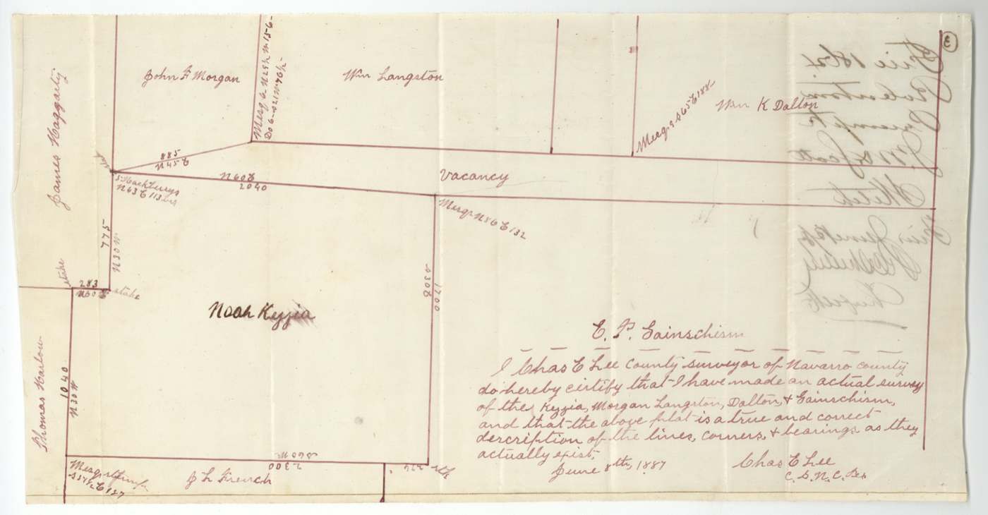
In May 1887 J. M. Scott, a settler without land of his own, applied to preempt 160 acres of vacant land on Chambers Creek about 20-23 miles west of Corsicana. The vacancy was a narrow strip left between the Noah Kezzia, Morgan, Langston, Dalton and Gainschism surveys because earlier surveys had been misplaced on the ground. A rival buyer protested, and the county surveyor resurveyed and corrected Scott's tract four times while certifying that Scott lived on and improved it. The patent issued to Scott in October 1888.
The certificate
preemption, No. none (application, not a certificate), 160 acres, Application to the Navarro County Surveyor under the preemption law (field notes cite 'an act approved 1879', one copy '1878', granting preemptions of up to 160 acres to actual settlers without land), Navarro County, Application sworn 1887-05-02 (the 1888 corrected notes say 'application dated the 18th day of April 1887').
J. M. Scott swore he was a resident citizen over 18, owned no 160 acres elsewhere in Texas, had no residence on land of his own, and had actually settled on the vacant land in good faith
The survey
1887-05-10 (certified 1887-05-20), Chas. E. Lee, County Surveyor, Navarro County.
about 20 miles S 85 W of Corsicana (altered from '23 miles S 8 W'), on the waters of Chambers Creek
Chain carriers: N. L. Beck, Ben Green.
Navarro County surveyor's records Book C, page 241
The survey
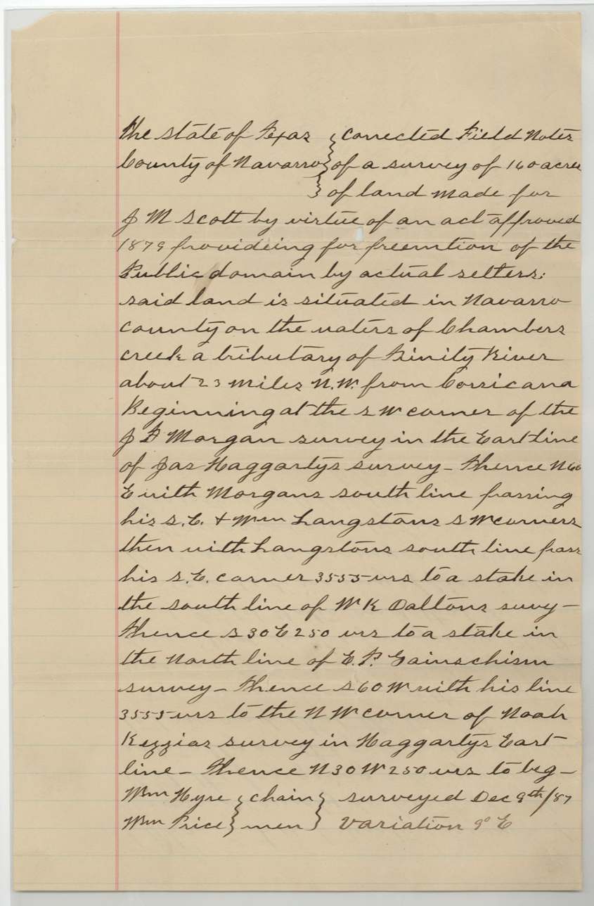
1887-12-09 (variation 9° E), Chas. E. Lee.
Chambers Creek, a tributary of the Trinity River, about 23 miles NW from Corsicana
Chain carriers: Wm. Hyde(?), Will / Wm. Price(?).
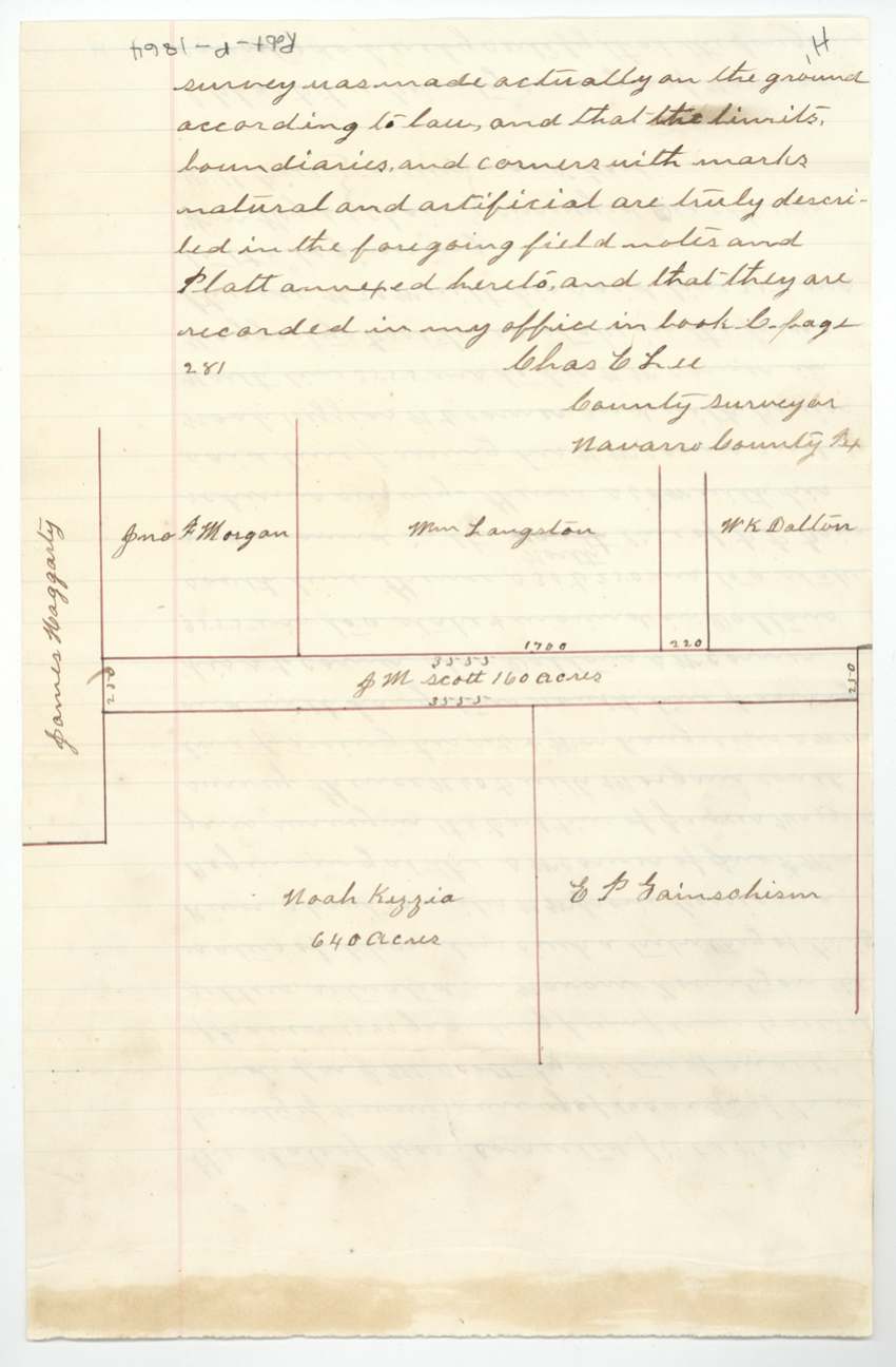
Book C, page 281
The survey
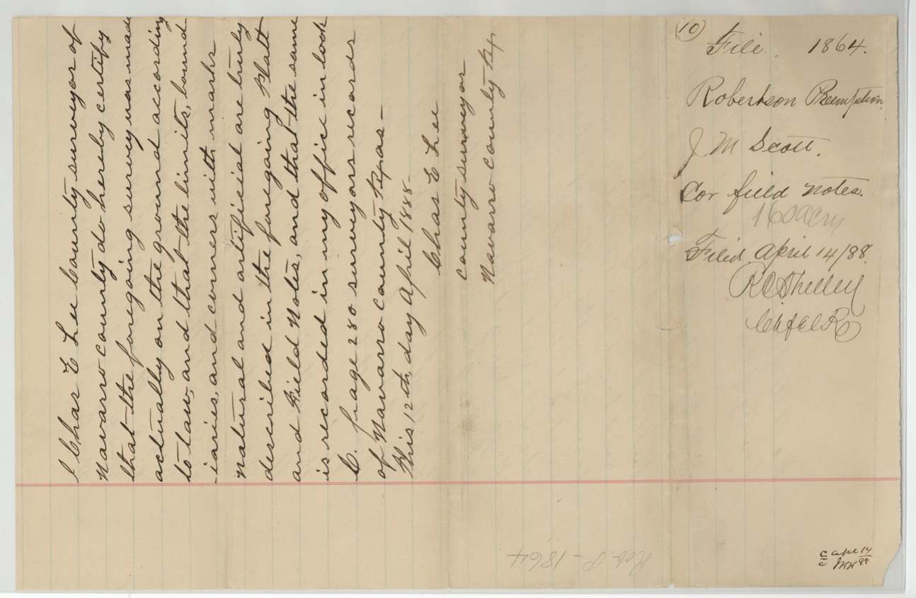
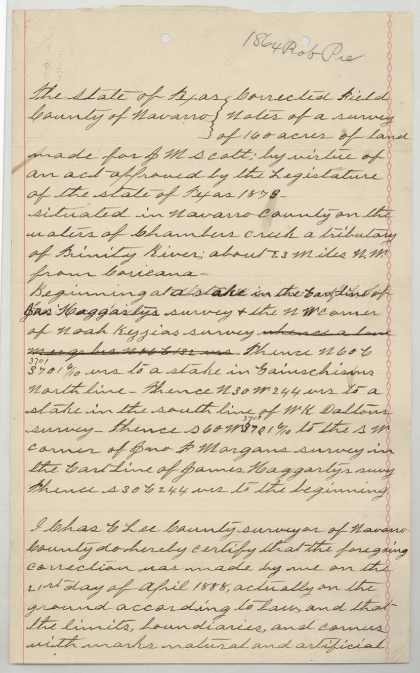
made on the ground 1888-04-21 (certified 1888-04-30; another copy certified 12 Apr 1888), Chas. E. Lee.
Chambers Creek about 23 miles NW from Corsicana
Book C, pages 280 and 286
The survey
7 Sep 1888, Chas. E. Lee.
Chambers Creek about 20 miles N 85 W from Corsicana
Book C, page 286 (var. 9° E)
The patent
18 Oct 1888, No. 302, Vol. 21, to J. M. Scott, delivered to not stated.
Also in the file
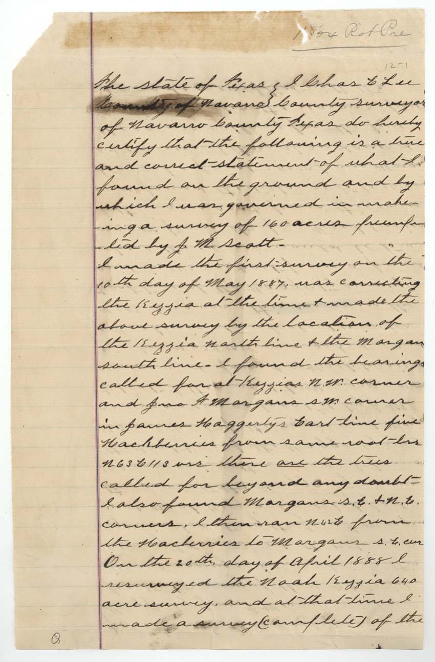
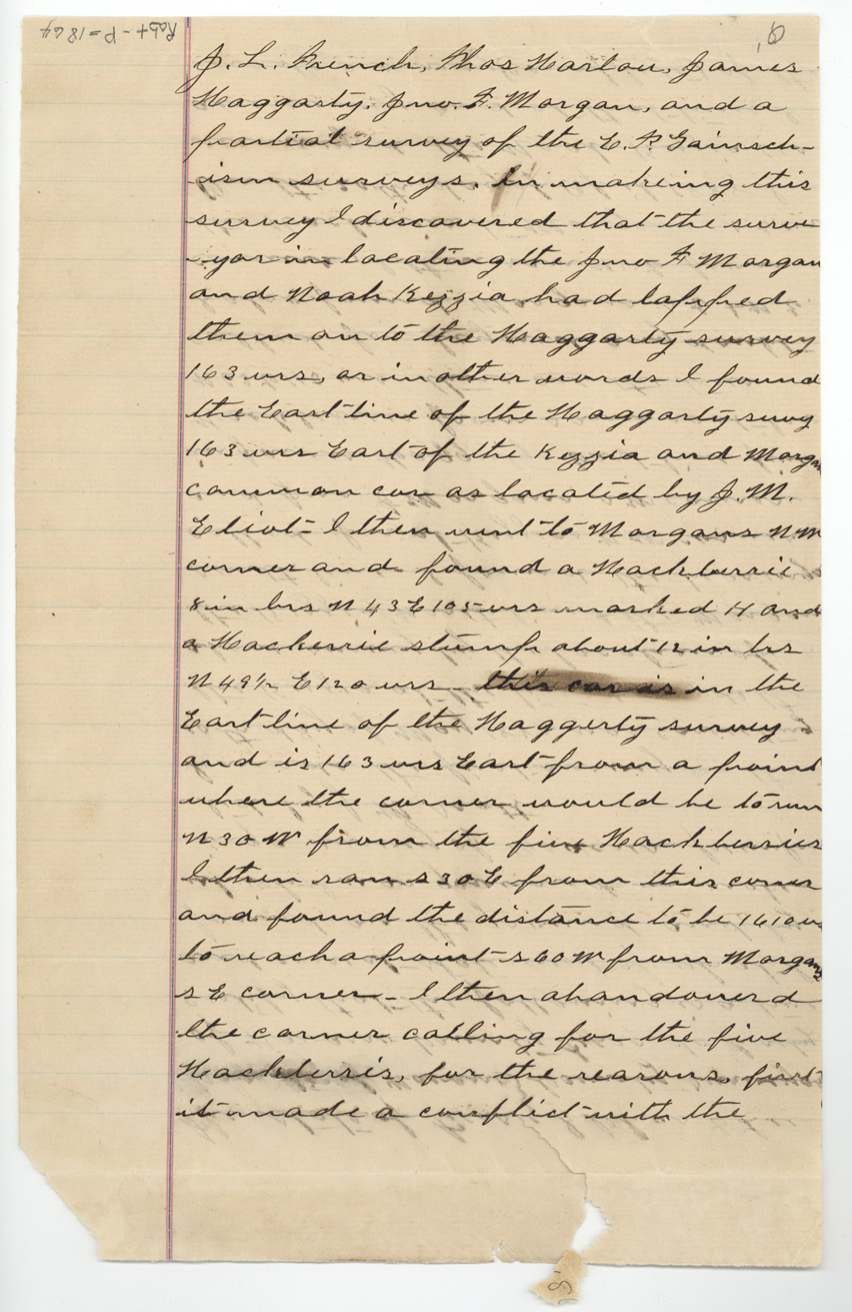
- Scott's 160 acres is a thin strip of vacant land left over because older surveys did not fit together on the ground: the county surveyor found the Morgan and Kezzia surveys had been lapped 163 varas onto the Haggarty survey by an earlier locator.
- A rival applicant from Corsicana had filed four applications to buy the same vacant land around the Kezzia survey and protested that Scott's preemption cut him down to about 50 acres.
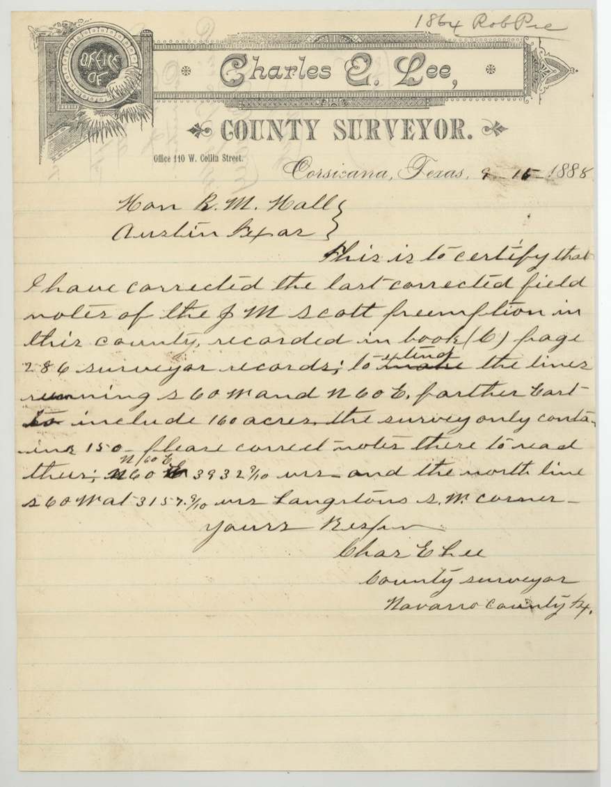
- The field notes were corrected four times between December 1887 and September 1888; at one point the survey turned out to hold only 150 acres and the lines had to be pushed east.
- Several later papers call the big neighbouring league 'James Haggarty', though the patented survey is Jefferson Haggarty's (Abstract 334).
- The direction to Corsicana changes between versions - 'S 85 W', 'NW', and 'N 85 W'.
- The application is dated 2 May 1887 but the final notes say it was dated 18 April 1887.
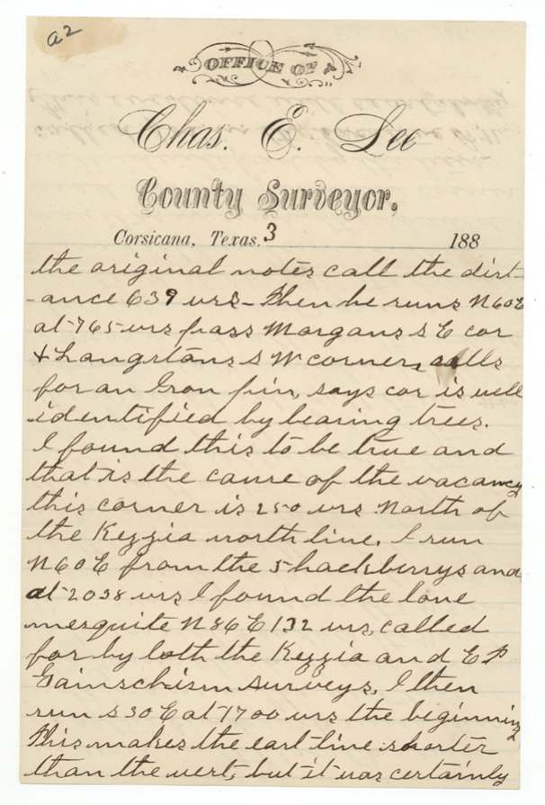
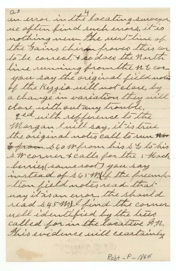
- The surveyor writes that the original bearing trees - five hackberries from one root and a lone mesquite - were still standing more than 30 years after the first surveys.
Timeline
- 24 Mar 1887Land Office writes to Corsicana asking about a vacancy next to the Kezzia survey
- 2 May 1887J. M. Scott swears his preemption application for 160 acres
- 10 May 1887County surveyor makes the first survey
- 28 May 1887First field notes filed in the GLO
- 10 Jun 1887County surveyor explains the vacancy and the Kezzia errors to the Commissioner
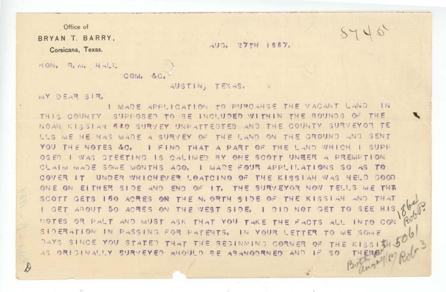
- 27 Aug 1887Rival applicant writes protesting that Scott's claim takes land he applied to buy
- 9 Dec 1887Corrected survey run
- 23 Jan 1888$160 deposited for Scott; first notes cancelled by corrected notes
- 25 Jan 1888Surveyor certifies Scott is continually occupying and improving the land
- 21 Apr 1888Survey corrected again after the Kezzia 640 is resurveyed
- 7 Sep 1888Final corrected field notes
- 12 Oct 1888Checked correct on the Navarro County map
- 18 Oct 1888Patent No. 302 Vol. 21 issued to J. M. Scott
The papers in the file
Every page of the Land Office file, in the order the Land Office keeps them (42 pages). Tap a page to see it larger.
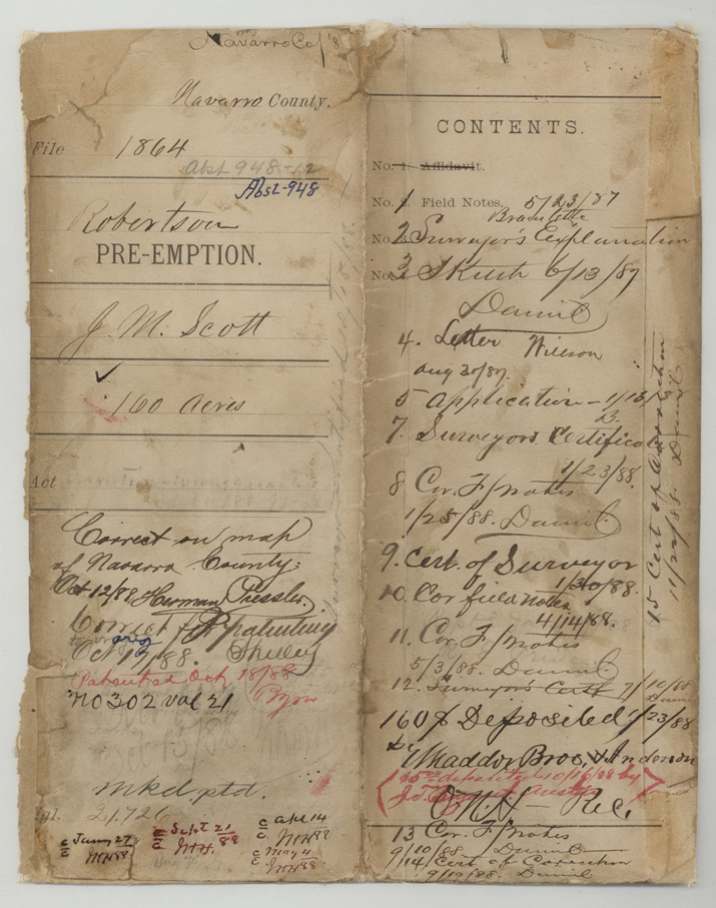
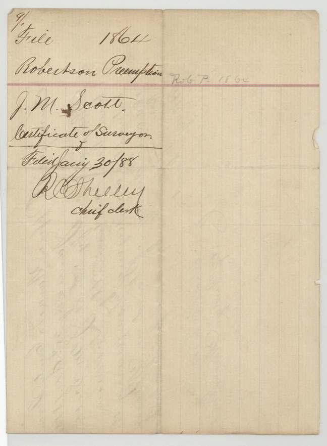
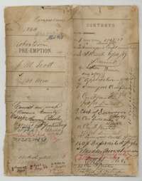 File jacketFile jacket for J. M. Scott's 160-acre Robertson preemption, with a contents list of the papers filed and the patent notation.General Land Office, file 1864, page 1 · in the scan
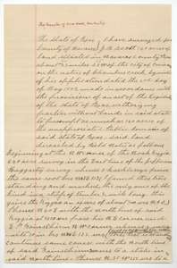 Field notesFirst field notes for 160 acres on Chambers Creek, surveyed for J. M. Scott by county surveyor Chas. E. Lee, 10 May 1887.General Land Office, file 1864, page 2 · in the scan
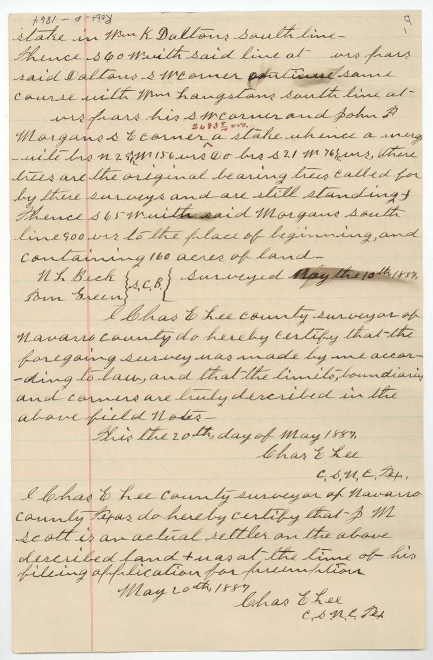
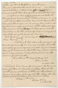 Field notesEnd of the first field notes, with surveyor Lee's certificates of 20 May 1887 that the survey was made and that J. M. Scott is an actual settler.General Land Office, file 1864, page 3 · in the scan
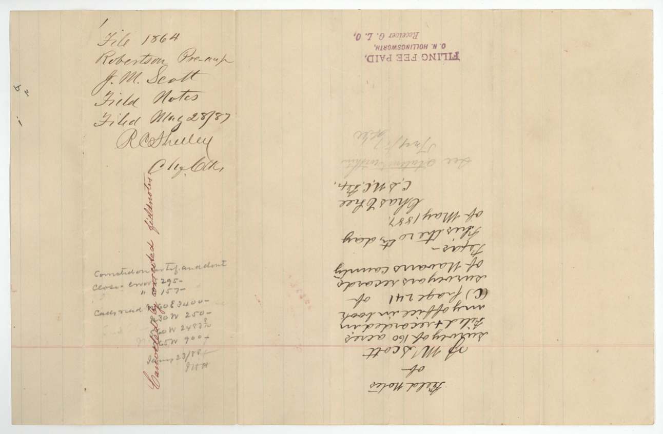
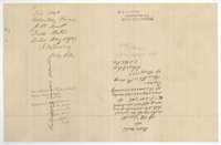 WrapperBack of the field notes, with the Land Office filing note of 28 May 1887 and a fee stamp.General Land Office, file 1864, page 4 · in the scan
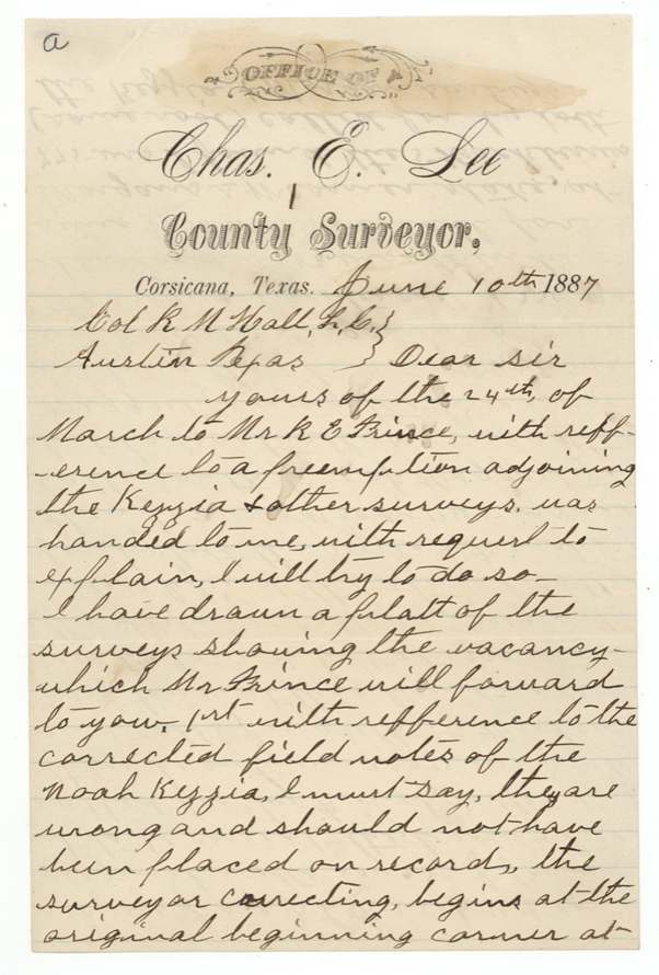
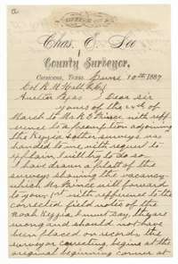 LetterFirst page of a letter from county surveyor Chas. E. Lee at Corsicana to the Land Commissioner, 10 June 1887, about a preemption next to the Noah Kezzia survey.General Land Office, file 1864, page 5 · in the scan
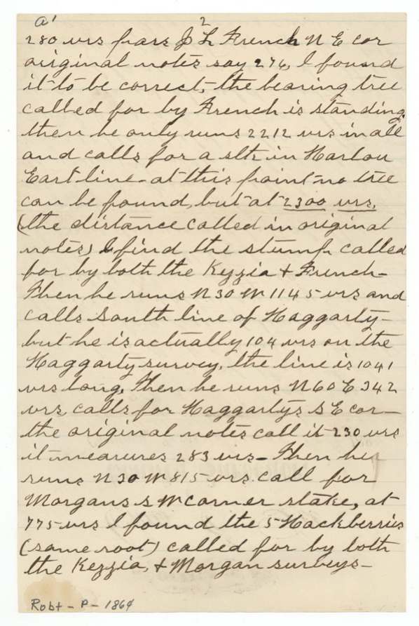
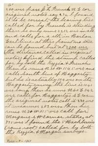 LetterPage 2 of surveyor Lee's letter of 10 June 1887, explaining errors in the older surveys around the Kezzia and Morgan lines.General Land Office, file 1864, page 6 · in the scan
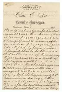 LetterPage 3 of surveyor Lee's letter of 10 June 1887, explaining errors in the older surveys around the Kezzia and Morgan lines.General Land Office, file 1864, page 7 · in the scan
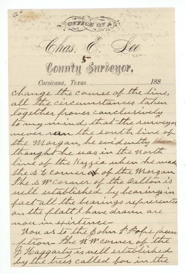
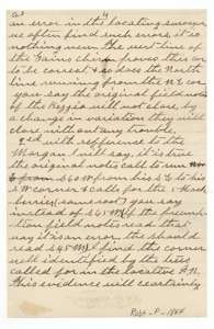 LetterPage 4 of surveyor Lee's letter of 10 June 1887, explaining errors in the older surveys around the Kezzia and Morgan lines.General Land Office, file 1864, page 8 · in the scan
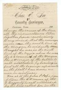 LetterPage 5 of surveyor Lee's letter of 10 June 1887, explaining errors in the older surveys around the Kezzia and Morgan lines.General Land Office, file 1864, page 9 · in the scan
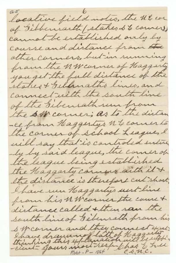
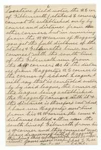 LetterLast page of surveyor Lee's letter of 10 June 1887, closing his explanation of the Haggarty and school league corners.General Land Office, file 1864, page 10 · in the scan
 WrapperBack of the letter, with the Land Office filing note of 13 June 1887.General Land Office, file 1864, page 11 · in the scan
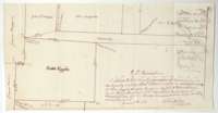 PlatSketch plat of the Kezzia, Morgan, Langston, Dalton and Gainschism surveys showing the vacant land between them, certified by Chas. E. Lee, 8 June 1887.General Land Office, file 1864, page 12 · in the scan
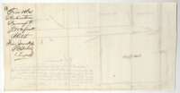 WrapperBack of the sketch plat, with the Land Office filing note of June 1887.General Land Office, file 1864, page 13 · in the scan
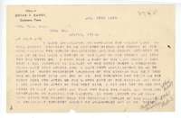 LetterTyped letter from Bryan T. Barry of Corsicana to the Land Commissioner, 27 August 1887, about his applications to buy vacant land near the Kezzia survey.General Land Office, file 1864, page 14 · in the scan
 LetterReverse of Barry's typed letter, showing the typing through the paper.General Land Office, file 1864, page 15 · in the scan
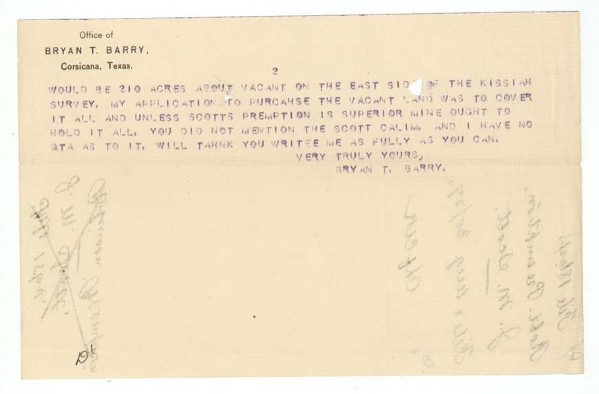
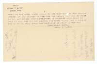 LetterSecond page of Barry's letter, asking that Scott's preemption claim not take the land he applied for.General Land Office, file 1864, page 16 · in the scan
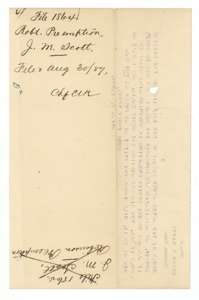 WrapperBack of Barry's letter, with the Land Office filing note of 30 August 1887.General Land Office, file 1864, page 17 · in the scan
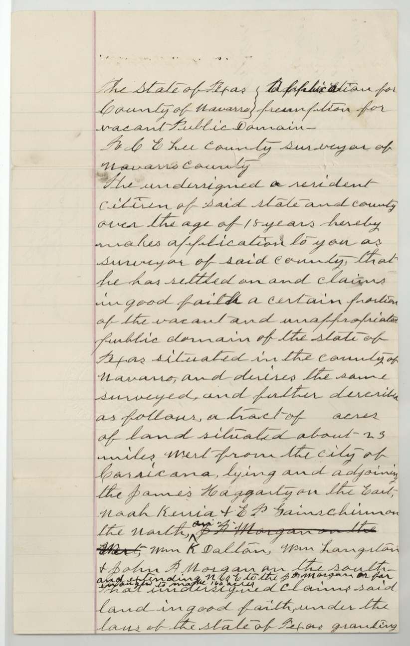
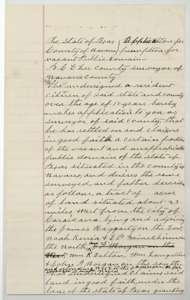 Other papersFirst page of J. M. Scott's sworn application to the county surveyor for a 160-acre preemption in Navarro County.General Land Office, file 1864, page 18 · in the scan
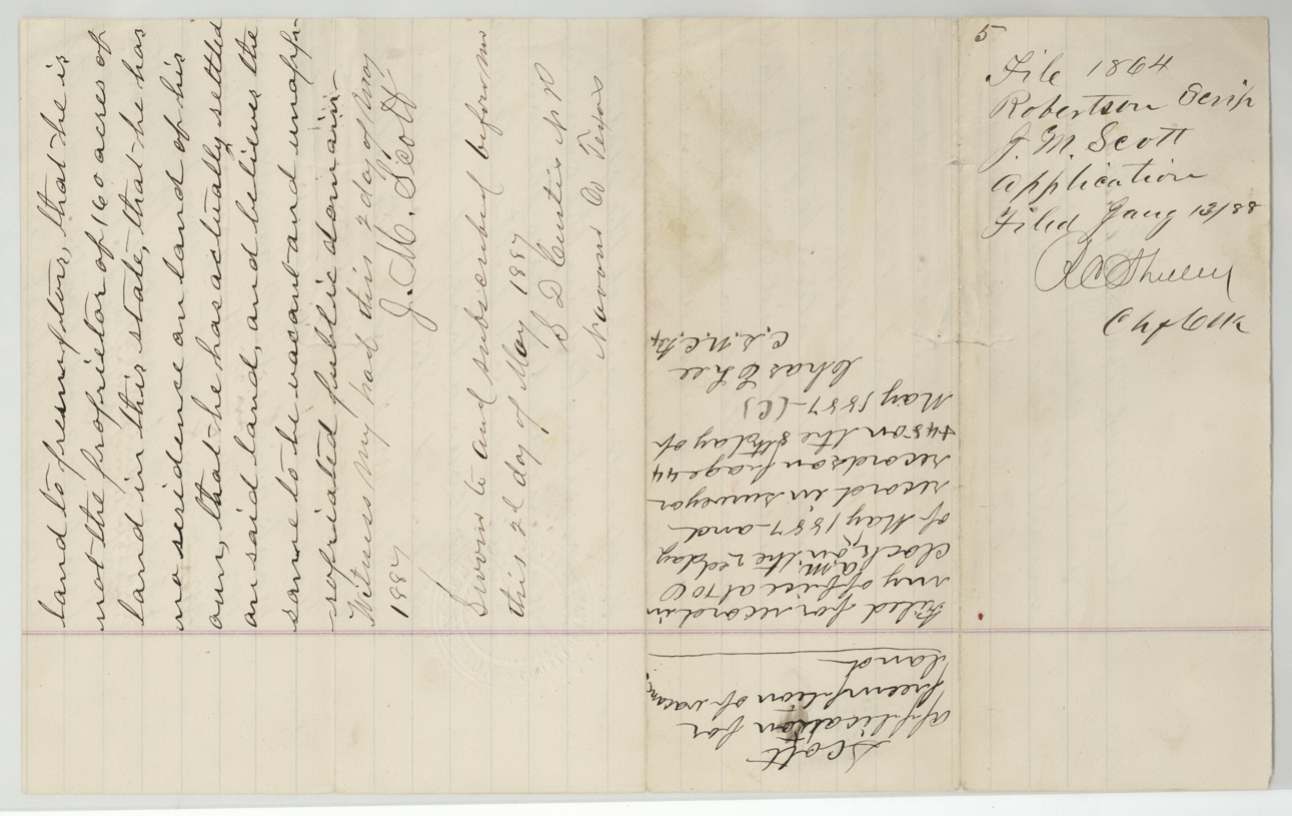
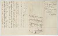 AffidavitEnd of Scott's preemption application, with his oath sworn 2 May 1887, the notary's certificate and the Land Office filing note of 13 January 1888.General Land Office, file 1864, page 19 · in the scan
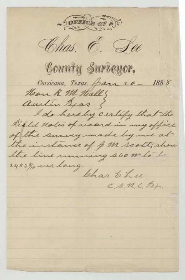
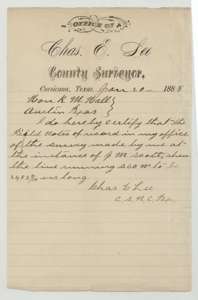 LetterCertificate of surveyor Chas. E. Lee, 20 January 1888, giving the length of the Scott survey's south 60 west line as 2,483 8/10 varas.General Land Office, file 1864, page 20 · in the scan
 WrapperBack of the surveyor's certificate, with the Land Office filing note of 23 January 1888.General Land Office, file 1864, page 21 · in the scan
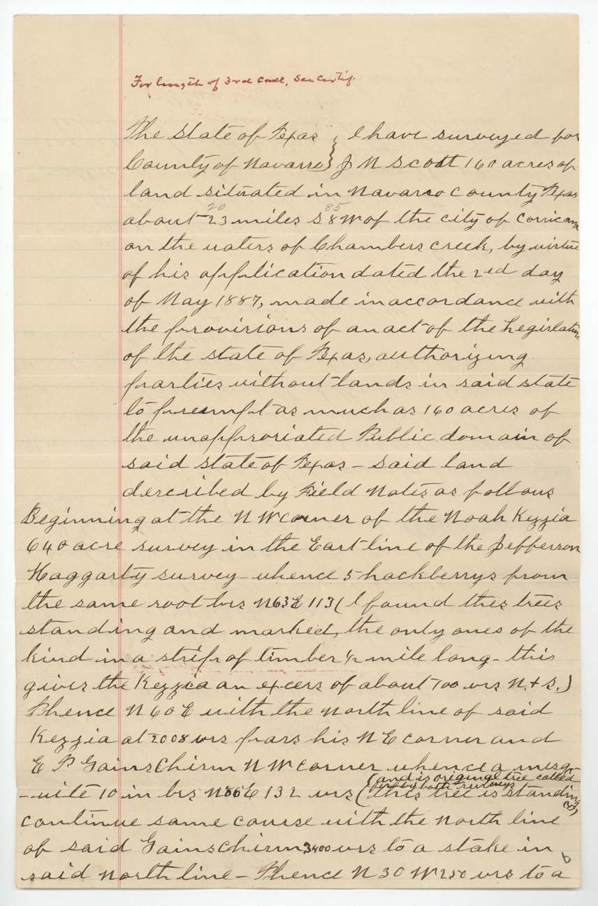
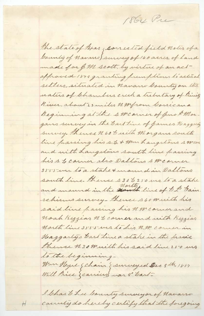
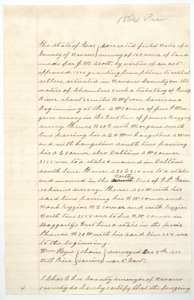 Field notesCorrected field notes for J. M. Scott's 160 acres on Chambers Creek, made by Chas. E. Lee, 9 December 1887.General Land Office, file 1864, page 22 · in the scan
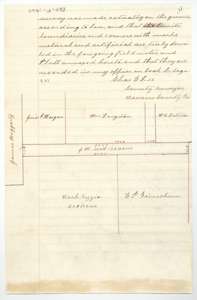 PlatEnd of the corrected field notes of December 1887, with Lee's certificate and a plat of the Scott tract between the Morgan, Langston and Dalton surveys.General Land Office, file 1864, page 23 · in the scan
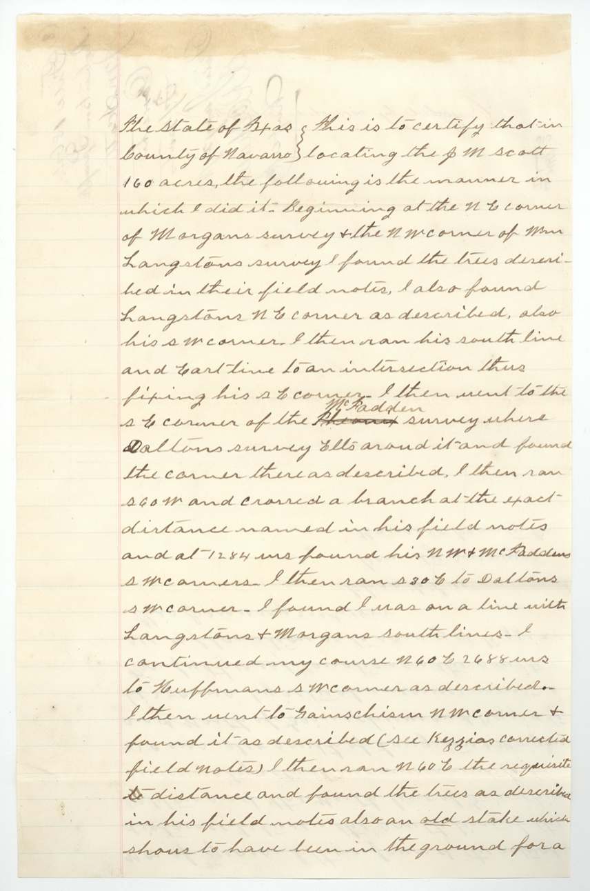
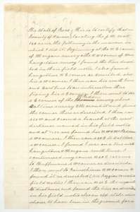 LetterFirst page of surveyor Lee's statement of 20 January 1888 on how he located the Scott 160 acres by the Morgan, Langston and Dalton corners.General Land Office, file 1864, page 24 · in the scan
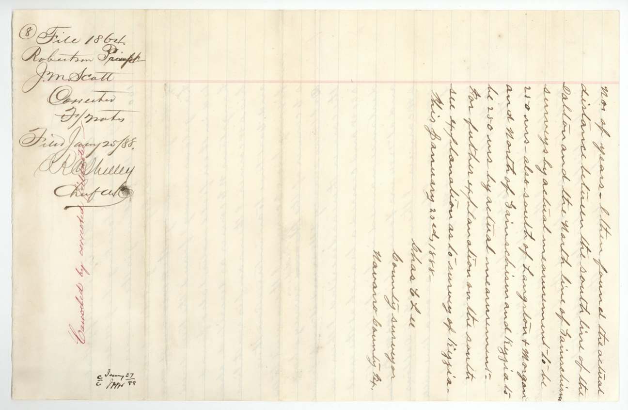
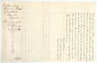 LetterEnd of Lee's statement of 20 January 1888, with the filing note of 25 January 1888.General Land Office, file 1864, page 25 · in the scan
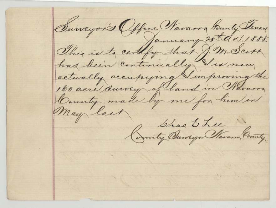
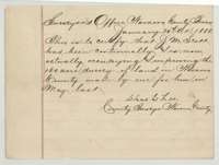 Surveyor's certificateSurveyor's certificate of 25 January 1888 that J. M. Scott has been continually living on and improving the 160-acre survey.General Land Office, file 1864, page 26 · in the scan
 WrapperBack of the certificate of occupancy, with the Land Office filing note of 30 January 1888.General Land Office, file 1864, page 27 · in the scan
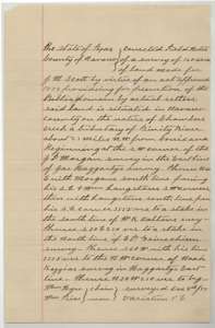 Field notesCorrected field notes for J. M. Scott's 160 acres on Chambers Creek, made by Chas. E. Lee, April 1888.General Land Office, file 1864, page 28 · in the scan
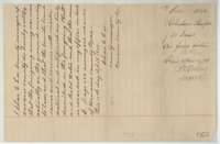 Surveyor's certificateEnd of the corrected field notes, with Lee's certificate of 12 April 1888 and the filing note of 14 April 1888.General Land Office, file 1864, page 29 · in the scan
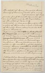 Field notesCorrected field notes for J. M. Scott's 160 acres, made on the ground by Chas. E. Lee on 21 April 1888.General Land Office, file 1864, page 30 · in the scan
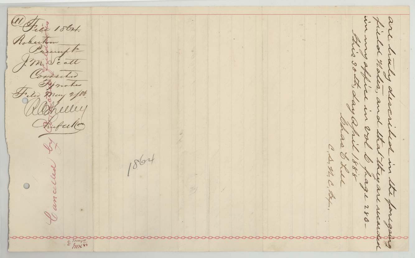
 Surveyor's certificateEnd of the corrected field notes, with Lee's certificate of 30 April 1888, the filing note of 2 May 1888 and a cancellation mark.General Land Office, file 1864, page 31 · in the scan
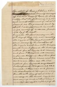 LetterFirst page of surveyor Lee's statement explaining how the Kezzia and Morgan surveys were corrected and how Scott's preemption was fitted to them.General Land Office, file 1864, page 32 · in the scan
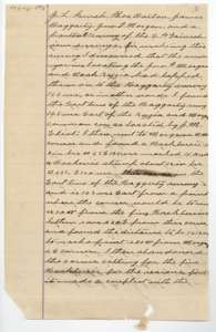 LetterSecond page of Lee's explanation of the lapped Morgan and Kezzia surveys, and of the Haggarty east line.General Land Office, file 1864, page 33 · in the scan
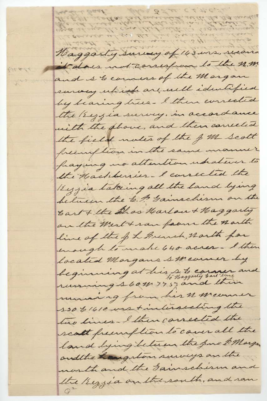
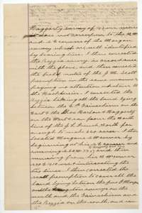 LetterThird page of Lee's explanation of how the Kezzia, Morgan and Scott surveys were each corrected.General Land Office, file 1864, page 34 · in the scan
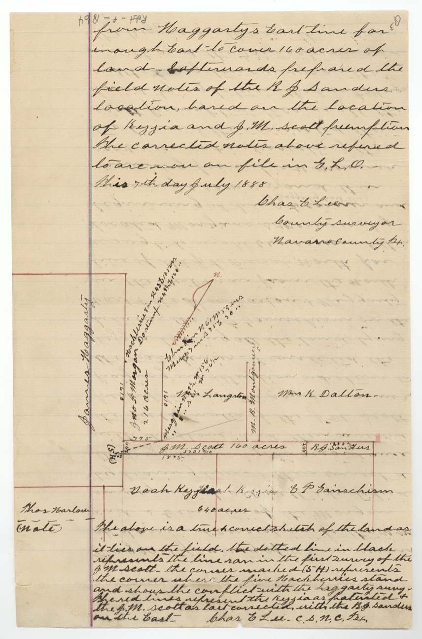
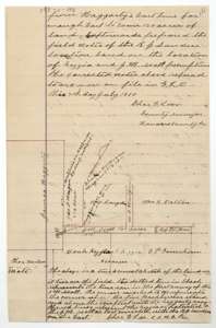 PlatEnd of Lee's statement of 7 July 1888, with a sketch of the Scott 160 acres, the Kezzia survey and the R. J. Sanders location to the east.General Land Office, file 1864, page 35 · in the scan
 WrapperBack of Lee's statement, with the Land Office filing note of 10 July 1888.General Land Office, file 1864, page 36 · in the scan
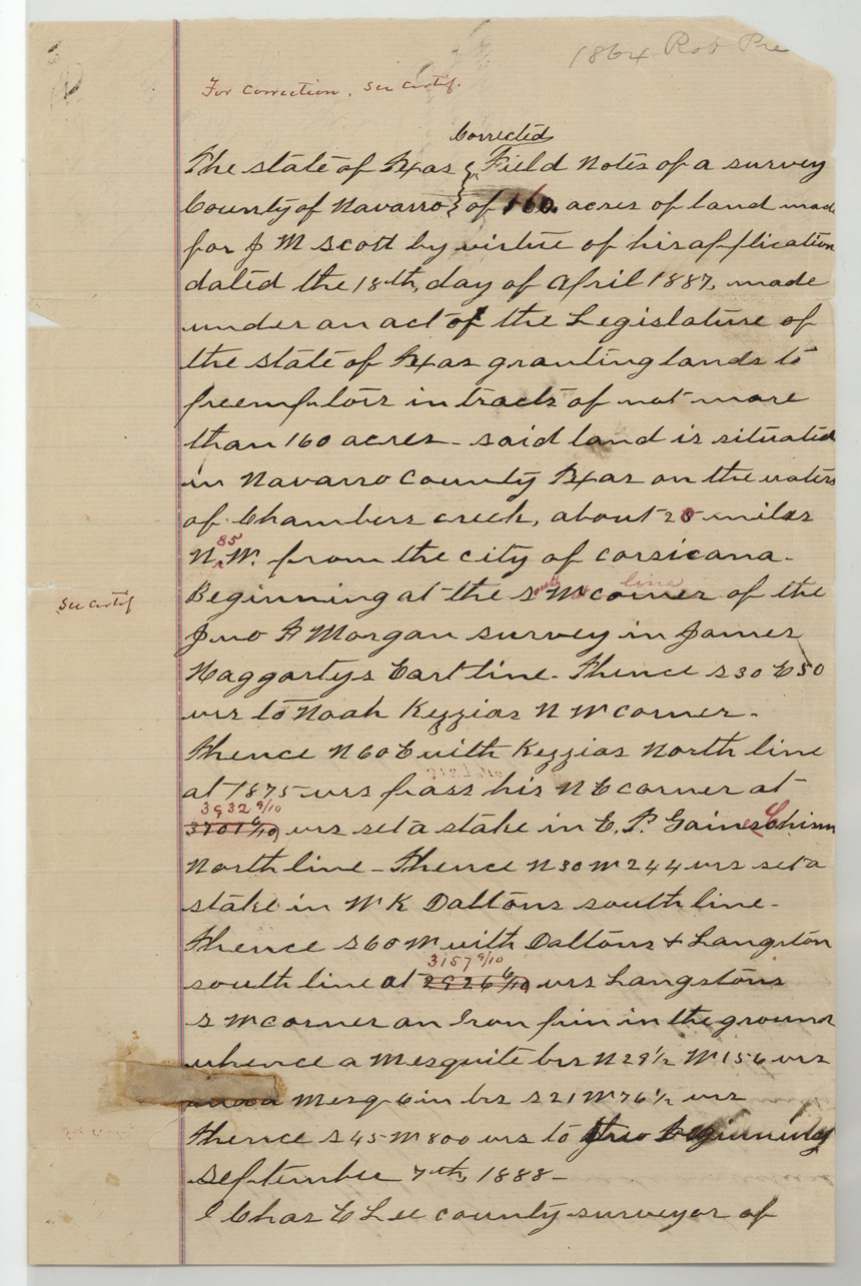
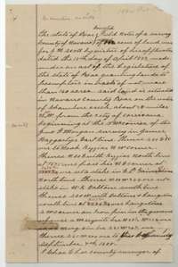 Field notesFinal corrected field notes for J. M. Scott's 160 acres on Chambers Creek, made by Chas. E. Lee, 7 September 1888.General Land Office, file 1864, page 37 · in the scan
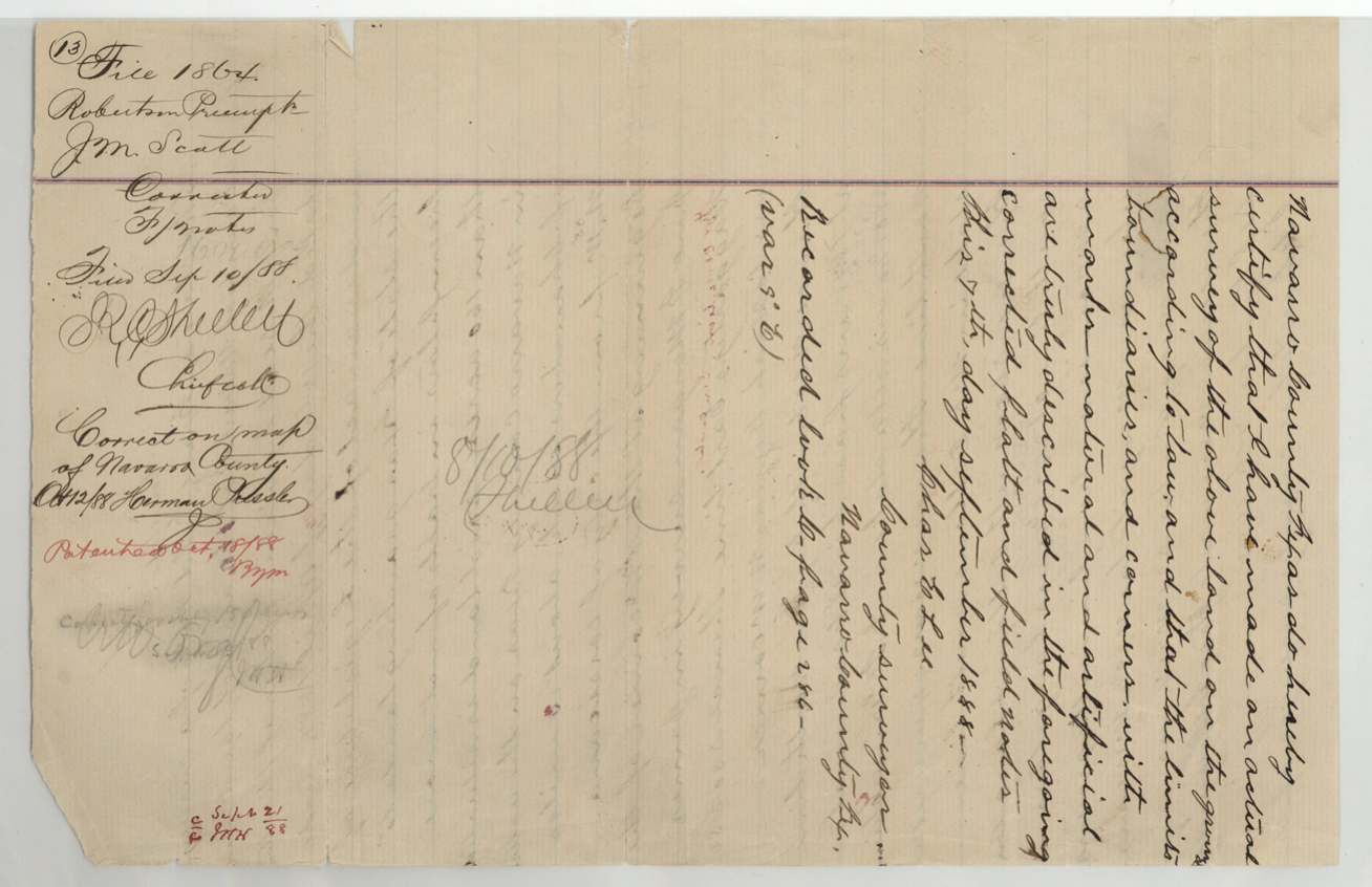
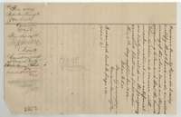 Surveyor's certificateEnd of the final field notes, with Lee's certificate of 7 September 1888, filing notes and the patent notation.General Land Office, file 1864, page 38 · in the scan
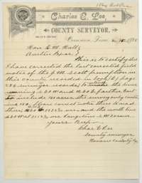 LetterLetter from surveyor Lee, 16 September 1888, correcting the Scott field notes because the survey held only 150 acres and the lines had to be extended.General Land Office, file 1864, page 39 · in the scan
 WrapperBack of the letter of correction, with the Land Office filing note of 18 September 1888.General Land Office, file 1864, page 40 · in the scan
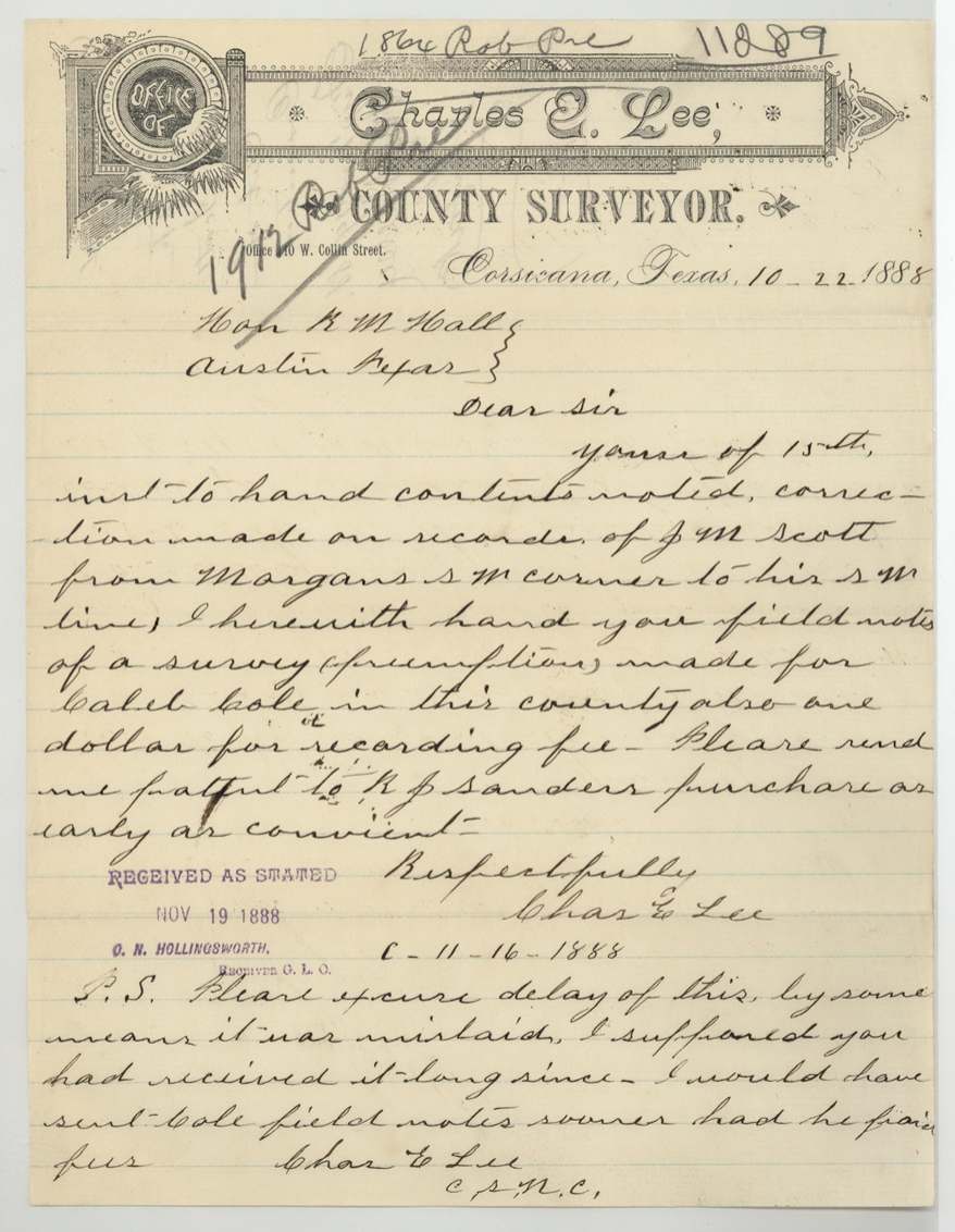
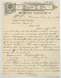 LetterLetter from surveyor Lee, 22 October 1888, reporting a further correction to the Scott notes and sending field notes for Caleb Cole's preemption.General Land Office, file 1864, page 41 · in the scan
 WrapperBack of the letter of 22 October 1888, with the Land Office filing note of 19 November 1888.General Land Office, file 1864, page 42 · in the scan
Scans courtesy of the Texas General Land Office, Austin, from its Land Grant Database.
Neighbouring surveys
Sources
- Texas General Land Office, Land Grant Database: Navarro County, Abstract 948
- The Land Office file, scanned (PDF, at the General Land Office)
- 1924 map: courtesy of the Texas General Land Office, Austin, Map 73249, used under licence. Topo: U.S. Geological Survey, The National Map. Aerial photographs: U.S. Department of Agriculture, National Agriculture Imagery Program, 2012, 2018 and 2022. Survey outlines: Railroad Commission of Texas, Original Texas Land Survey. Grant records and files: Texas General Land Office.