Blackland TX · ← All the original surveys
William Langston Survey, Abstract 503
- Granted to
- William Langston
- Kind of grant
- Headright, third classLand for later settlers, including the colonists of Mercer’s Colony.
- Land Office file
- Robertson 3rd class, file 3814
- Acres
- 480
- Patented to
- John H. Blanton
- Patent
- 03 Jul 1860 · No. 211, Vol. 30
Tap a survey to open its page.
What the file shows
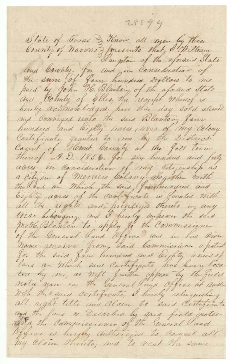
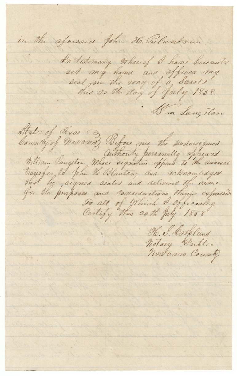
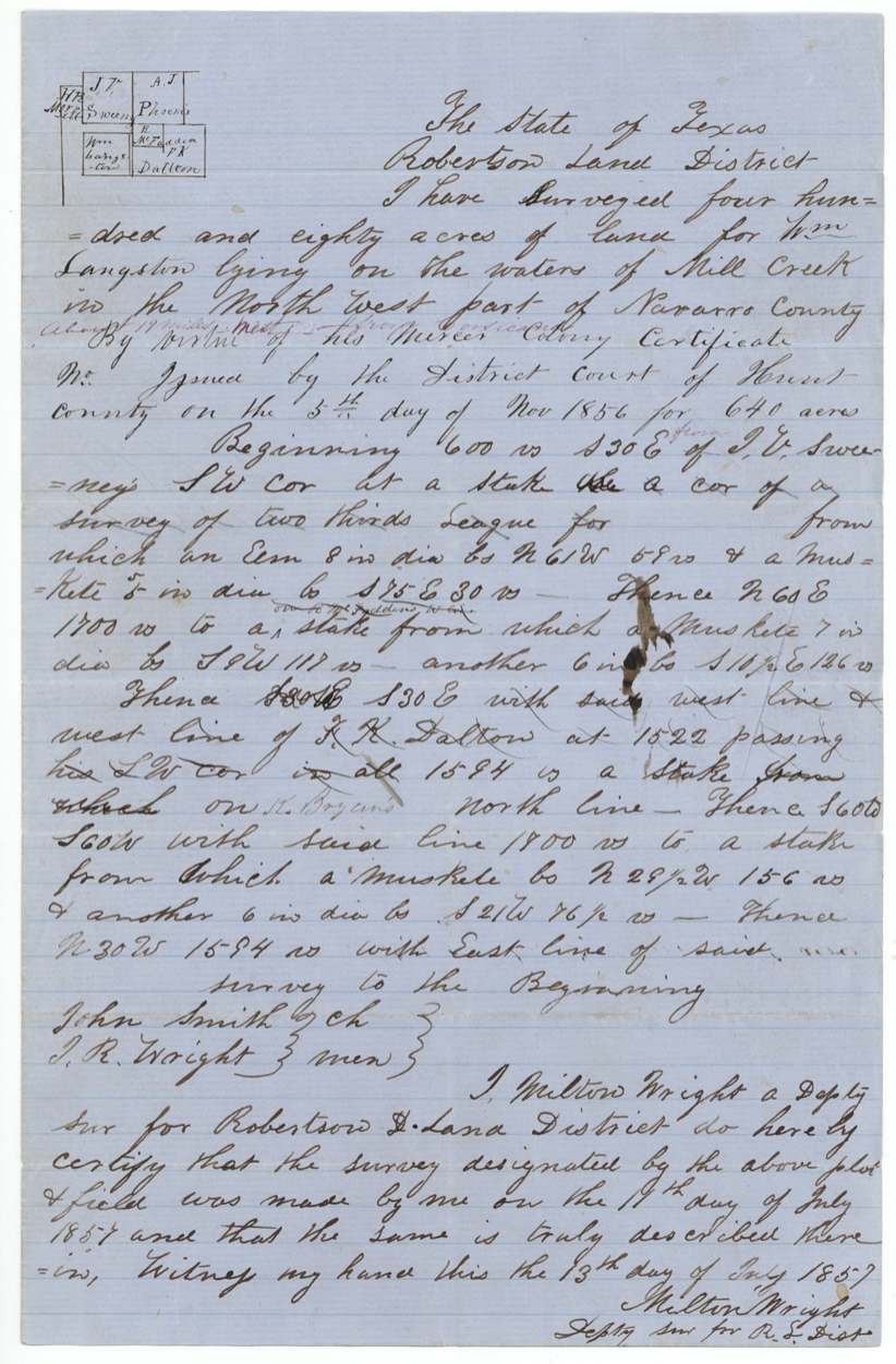
William Langston received a Mercer's Colony certificate for 640 acres from the Hunt County District Court in the fall term of 1856 on proof of his citizenship in the colony. Deputy surveyor Milton Wright located 480 acres of it on Mill Creek about 19 miles west of Corsicana on 11 July 1857, beside the Sweeney, McFadden and Dalton surveys. On 20 July 1858 Langston sold the 480 acres to John H. Blanton of Ellis County for $400, and the patent issued to Blanton on 3 July 1860 (No. 211, Vol. 30); it was forwarded to Benj. F. Hawkins(?) that month and noted again as sent to James H. Haden in July 1869.
The certificate
No. not stated (blank in field notes), 640 (certificate); 480 located in this survey, District Court of Hunt County, Hunt County, 1856-11-05 (field notes); 'fall term 1856' (transfer).
Mercer's Colony certificate for 640 acres granted by the Hunt County District Court 'in consideration of my citizenship as a citizen of Mercer's Colony' (Langston's words in the transfer).
Changes of hand
- 20 Jul 1858William Langston, of Navarro County → John H. Blanton, of Ellis County, $400, Navarro County. Conveys 480 acres of his colony certificate together with the land on which it is located, and authorises Blanton to take the patent in his own name. Filed 16 Aug 1858.
The survey
11 Jul 1857, Milton Wright, deputy surveyor, Robertson Land District.
On the waters of Mill Creek in the northwest part of Navarro County, about 19 miles west of Corsicana (added in red)
Chain carriers: John Smith, J. R. Wright.
Book L, page 398
The patent
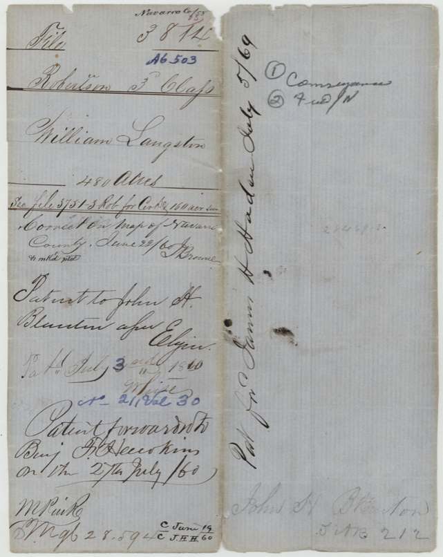
3 Jul 1860, No. 211, Vol. 30, to John H. Blanton, assignee, delivered to Benj. F. Hawkins(?), 27 July 1860; a second note reads 'Pat. fwd. James H. Haden July 5/69'.
Also in the file
- The patent seems to have been sent out twice: to Benj. F. Hawkins(?) in July 1860, and again to James H. Haden in July 1869, perhaps a certified copy or a re-issue after the war.
- Langston sold the land after it was surveyed, so Blanton bought located land, not just a paper certificate.
- Only 480 of the 640 acres were located here; the certificate and a 160-acre survey are in another file (3751 Robertson 3rd).
- One of the chain carriers, J. R. Wright, shares the surveyor Milton Wright's surname.
Timeline
- 5 Nov 1856Hunt County District Court issues Mercer's Colony certificate for 640 acres to William Langston (fall term 1856)
- 11 Jul 1857Milton Wright surveys 480 acres on Mill Creek
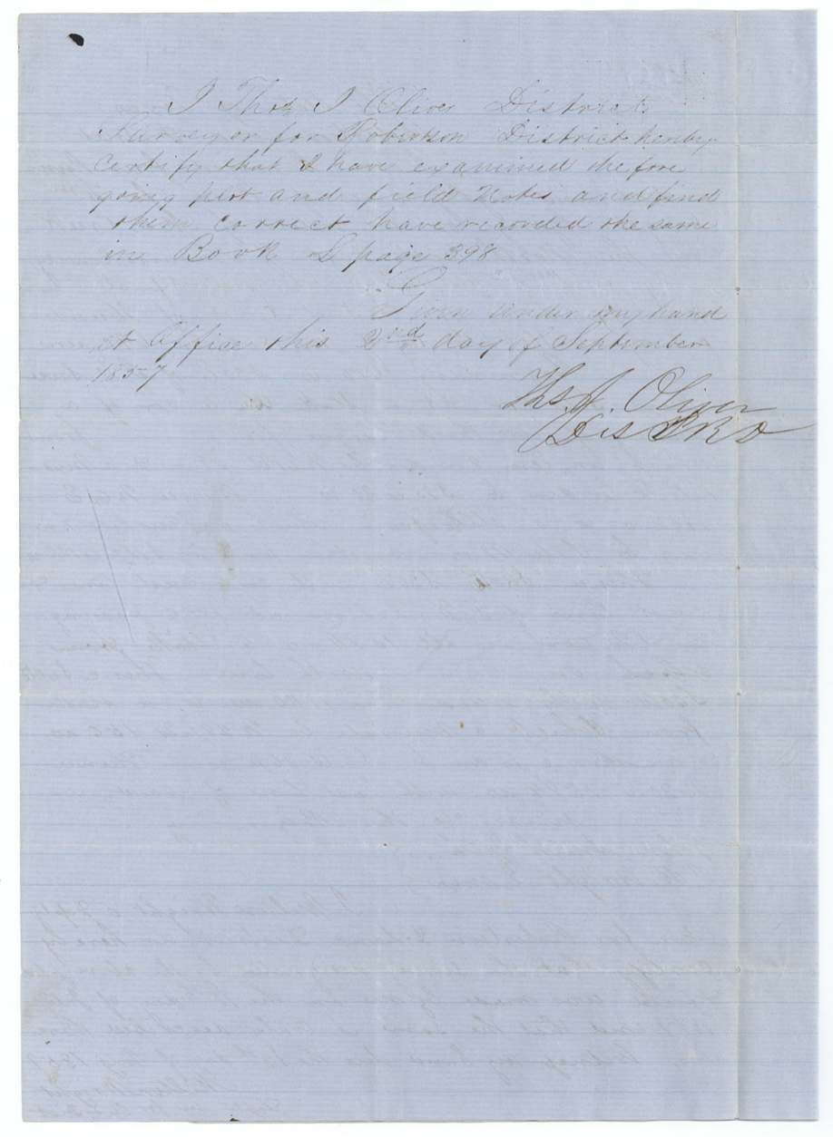
- 2 Sep 1857District Surveyor Thos. J. Oliver records field notes, Book L p. 398
- 18 Jan 1858Field notes filed in GLO
- 20 Jul 1858Langston sells the 480 acres to John H. Blanton of Ellis County for $400
- 16 Aug 1858Transfer filed
- 22 Jun 1860Checked correct on Navarro County map
- 3 Jul 1860Patent No. 211, Vol. 30 issued to John H. Blanton
- 27 Jul 1860Patent forwarded to Benj. F. Hawkins(?)
- 5 Jul 1869Patent (or copy) forwarded to James H. Haden
The papers in the file
Every page of the Land Office file, in the order the Land Office keeps them (7 pages). Tap a page to see it larger.
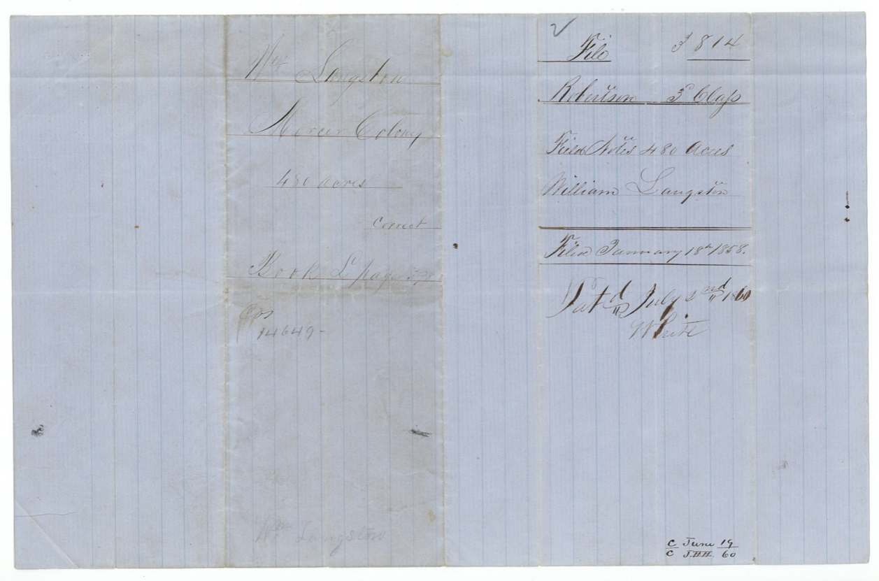
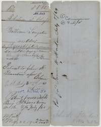 WrapperOuter wrapper for William Langston's 480-acre Mercer's Colony survey, with the patent entry of 3 July 1860 to John H. Blanton, assignee.General Land Office, file 3814, page 1 · in the scan
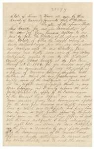 TransferDeed of 20 July 1858 in which William Langston sells 480 acres of his colony certificate, with the land located on it, to John H. Blanton for 400 dollars.General Land Office, file 3814, page 2 · in the scan
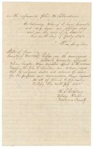 TransferEnd of the deed from William Langston to John H. Blanton, with the notary's acknowledgment of 20 July 1858.General Land Office, file 3814, page 3 · in the scan
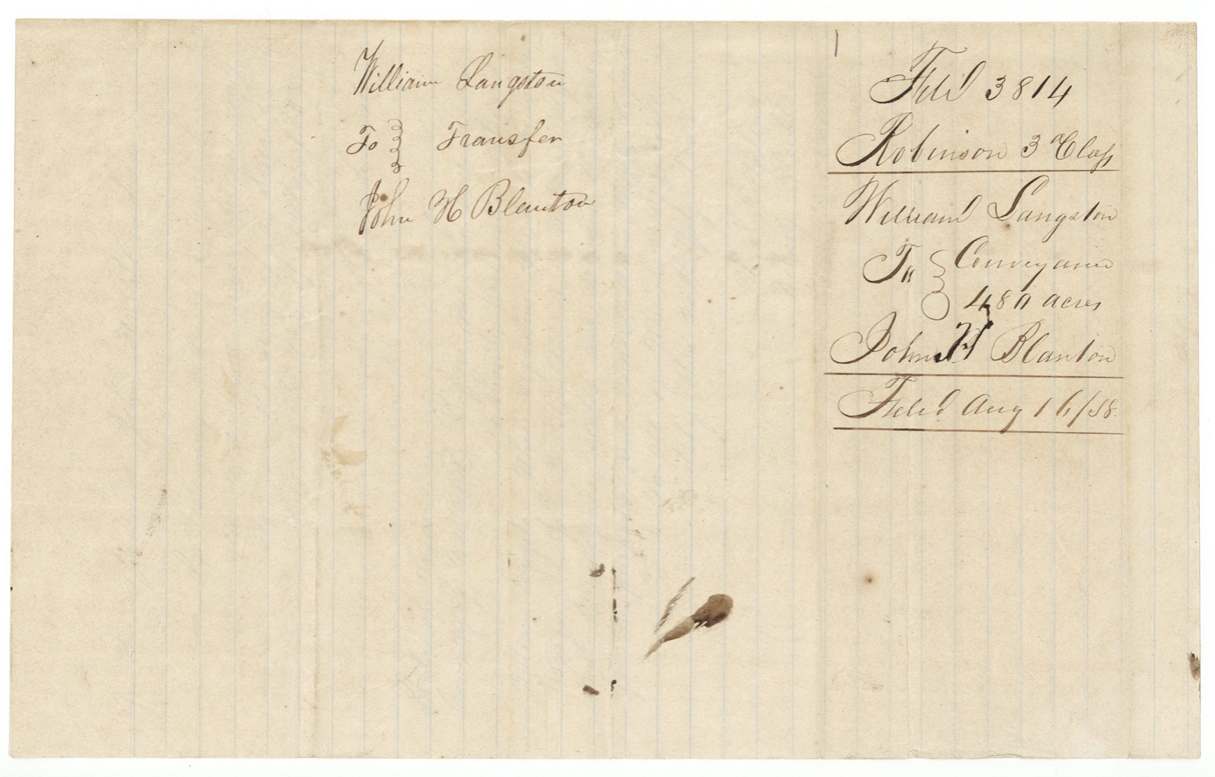
 DocketJacket for the transfer from William Langston to John H. Blanton, 480 acres, marked filed 16 August 1858.General Land Office, file 3814, page 4 · in the scan
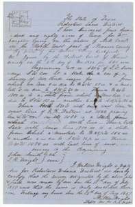 Field notesField notes and sketch plat for 480 acres on Mill Creek, surveyed for William Langston by deputy surveyor Milton Wright, 11 July 1857.General Land Office, file 3814, page 5 · in the scan
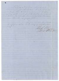 Surveyor's certificateDistrict surveyor Thomas J. Oliver certifies in September 1857 that he examined the Langston field notes and recorded them in Book L, page 398.General Land Office, file 3814, page 6 · in the scan
 DocketJacket for the field notes of William Langston, 480 acres, filed 18 January 1858 and patented 3 July 1860.General Land Office, file 3814, page 7 · in the scan
Scans courtesy of the Texas General Land Office, Austin, from its Land Grant Database.
Neighbouring surveys
Sources
- Texas General Land Office, Land Grant Database: Navarro County, Abstract 503
- The Land Office file, scanned (PDF, at the General Land Office)
- 1924 map: courtesy of the Texas General Land Office, Austin, Map 73249, used under licence. Topo: U.S. Geological Survey, The National Map. Aerial photographs: U.S. Department of Agriculture, National Agriculture Imagery Program, 2012, 2018 and 2022. Survey outlines: Railroad Commission of Texas, Original Texas Land Survey. Grant records and files: Texas General Land Office.