Blackland TX · ← All the original surveys
M. B. Montgomery Survey, Abstract 946
- Granted to
- M. B. Montgomery
- Kind of grant
- Land scripLand bought from the Republic with scrip.
- Land Office file
- Robertson Scrip, file 2404
- Acres
- 68.50
- Patented to
- George T. Jester
- Patent
- 23 Apr 1888 · No. 620, Vol. 10
Tap a survey to open its page.
What the file shows
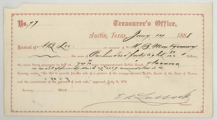
In December 1887 M. B. Montgomery applied to buy two small vacancies on the waters of Chambers Creek, about 20-23 miles northwest of Corsicana, under the 1887 act for the sale of public lands. County Surveyor Chas. E. Lee surveyed them in January 1888, and the state was paid $148.80 ($2 an acre) for the larger, 74 4/10-acre tract. Two days earlier, on 12 January 1888, Montgomery had sold that tract to George T. Jester for $400. After the Land Office found errors, Lee filed corrected notes reducing it to 68 1/2 acres, and the patent issued to Jester as assignee on 23 April 1888. The second strip (72 4/10 acres) was held up by a faulty neighbouring preemption survey and later noted as forfeited.
The certificate
other (purchase of vacant public land under the Act of 29 March 1887; no certificate), applied for about 75 acres plus a second strip; surveyed 74 4/10 and 19 4/10 acres; corrected to 68 1/2 and 72 4/10 acres, State of Texas: purchase application to Chas. E. Lee, County Surveyor, Navarro County; payment to the State Treasurer, Corsicana / Austin, 1887-12-23 (applications).
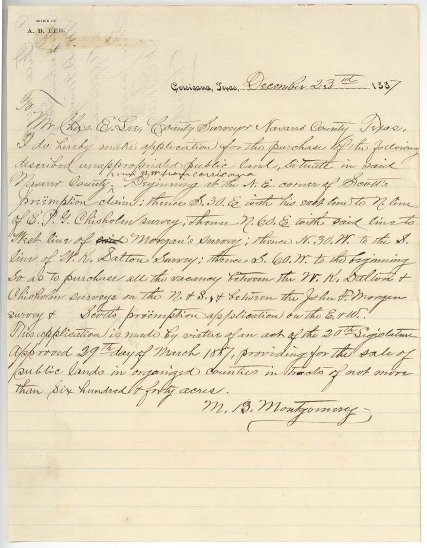
Cash purchase of unappropriated public land (vacancies between older surveys) under the act of the 20th Legislature approved 29 March 1887, providing for the sale of public lands in organized counties in tracts of not more than 640 acres (amending the act of 14 July 1879).
Changes of hand
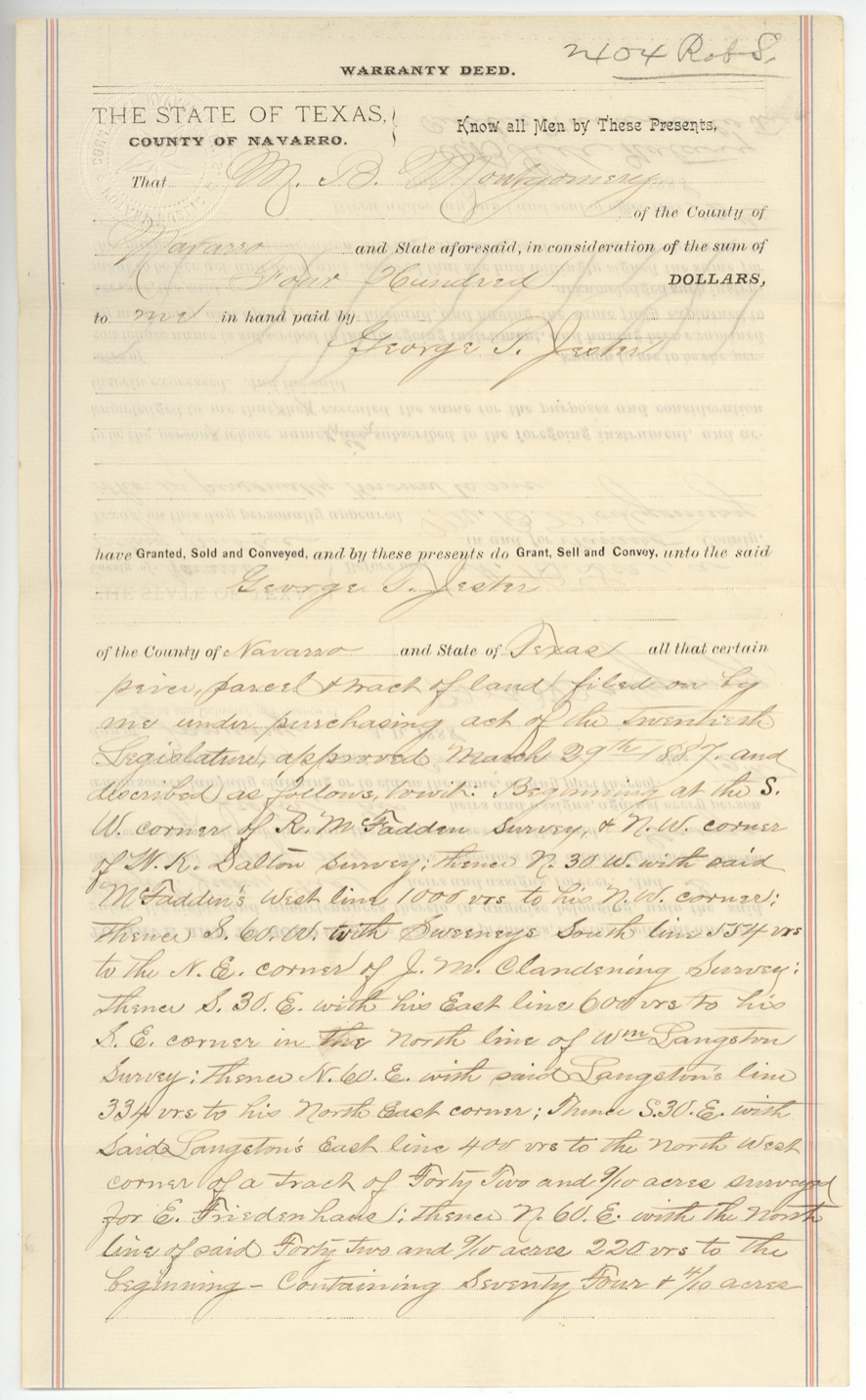
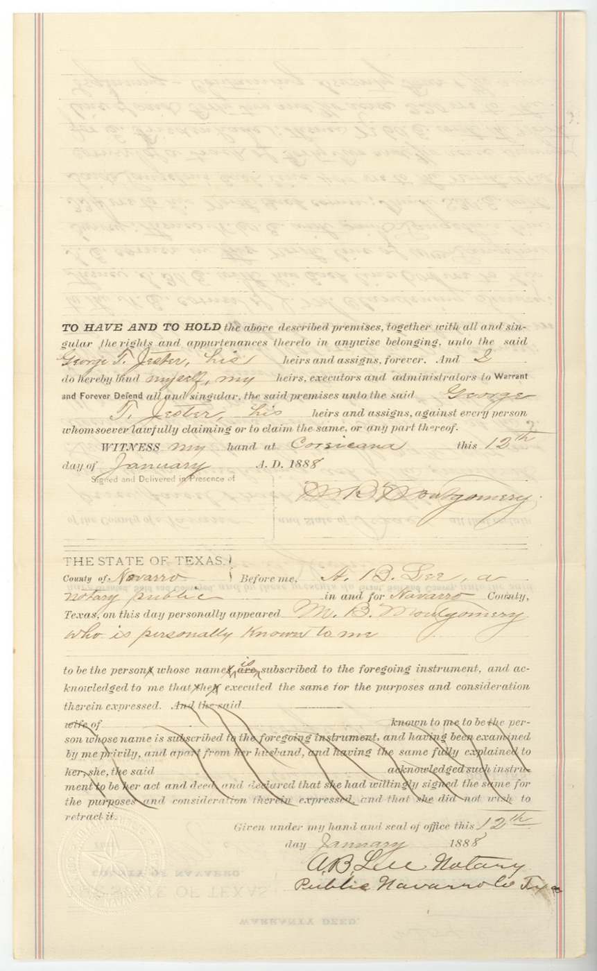
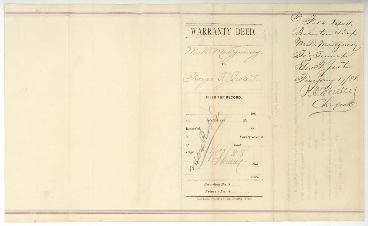
- 12 Jan 1888M. B. Montgomery of Navarro County → George T. Jester of Navarro County, $400, Corsicana. Warranty deed for the 74 4/10-acre tract 'filed on by me under purchasing act of the Twentieth Legislature approved March 29th 1887'. Printed form from the Corsicana Observer Steam Printing House. Filed GLO 17 Jan 1888.
The survey
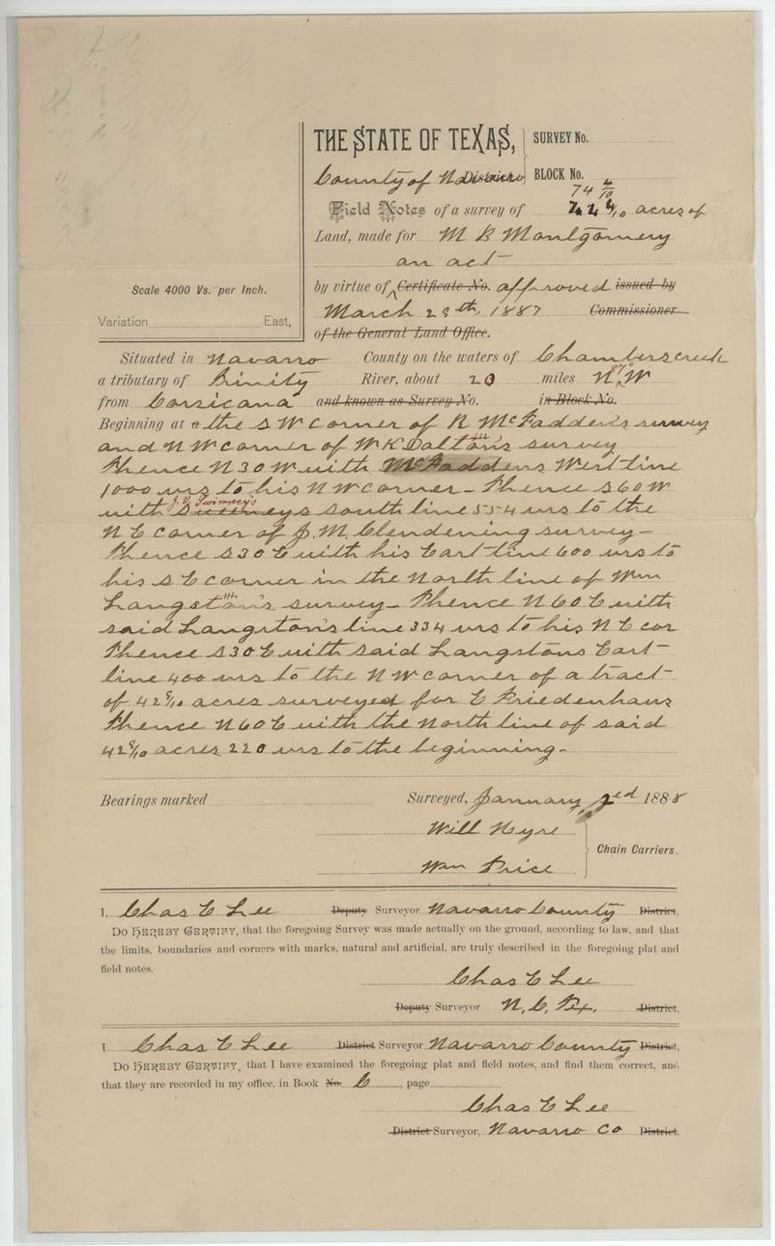
2 Jan 1888, Chas. E. Lee, County Surveyor, Navarro County.
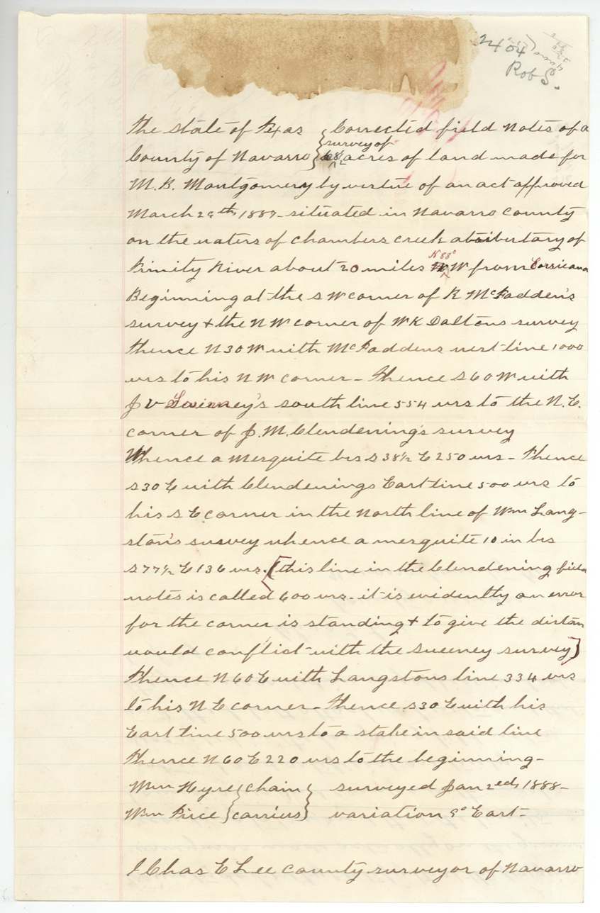
Navarro County, waters of Chambers Creek, a tributary of the Trinity River, about 20 miles N 27(?) W from Corsicana
Chain carriers: Will Hyre, Wm. Price.
County Book C
The survey
2 Jan 1888, Chas. E. Lee, County Surveyor, Navarro County.
About 23 miles NW from Corsicana, waters of Chambers Creek
Chain carriers: Will Hyre, Wm. Price.
County Book C p. 274
The survey
2 Jan 1888, Chas. E. Lee, County Surveyor, Navarro County.
About 20 miles N 88(?) W from Corsicana, waters of Chambers Creek
Chain carriers: Wm. Hyre, Wm. Price.
County Book C
The survey
1887-12-08 (resurveyed), Chas. E. Lee, County Surveyor, Navarro County.
About 23 miles NW from Corsicana, waters of Chambers Creek
Chain carriers: Wm. Hyre, Bob Mitchell.
County Book C p. 280
The patent
23 Apr 1888, No. 620(?) Vol. 2(?), to George T. Jester, assignee.
Also in the file
- These are small leftover vacancies between older surveys, bought from the state for $2 an acre in 1888 - this abstract was created about forty years after most of the land around it.
- M. B. Montgomery paid the state $148.80 for 74 4/10 acres and sold them to George T. Jester for $400 two days before the payment was receipted in Austin.
- A. B. Lee wrote the applications on his letterhead, paid the Treasury, and acted as notary on the deed, while County Surveyor Chas. E. Lee made the surveys; the surveyor admitted 'clerical errors' in notes he made 'for A. B. Lee'.
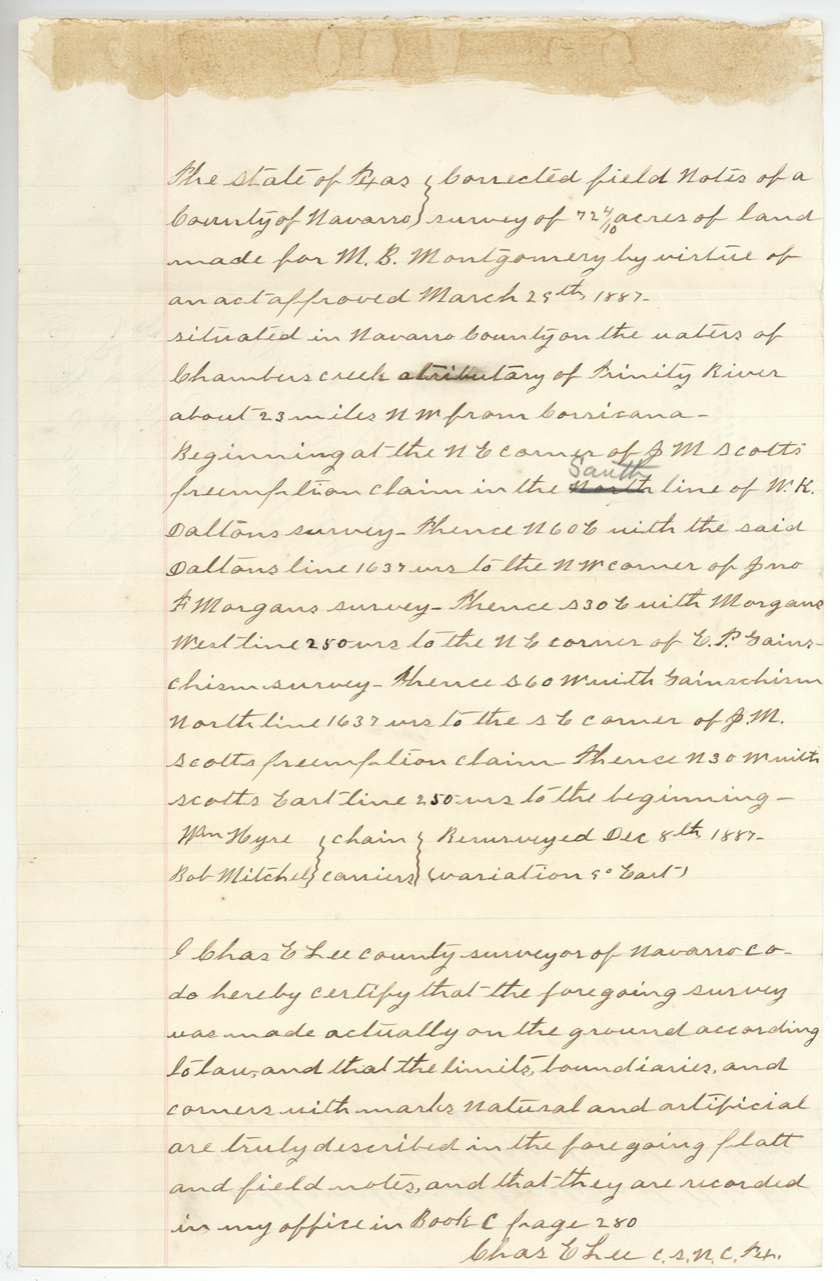
- The 72 4/10-acre strip's corrected field notes say it was resurveyed on 8 December 1887, two weeks before the purchase application was dated.
- The Land Office refused to pass the 72 4/10-acre strip because J. M. Scott's neighbouring preemption survey was wrong; that strip was later noted as forfeited, apparently for non-payment.
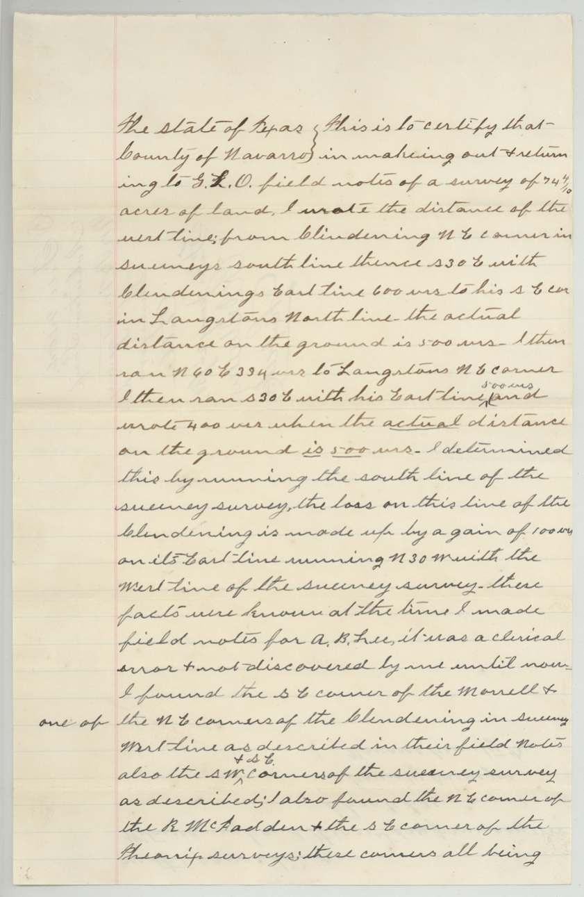
- The older Clendening survey was found to call 600 varas for a line that is 500 on the ground.
Timeline
- 29 Mar 1887Act of the 20th Legislature allows sale of vacant public land in organized counties
- 8 Dec 188772 4/10-acre strip 'resurveyed' (as stated in corrected notes)
- 23 Dec 1887M. B. Montgomery files two purchase applications with County Surveyor Chas. E. Lee
- 2 Jan 1888Chas. E. Lee surveys 74 4/10 and 19 4/10 acres
- 12 Jan 1888Montgomery sells the 74 4/10 acres to George T. Jester for $400
- 14 Jan 1888Treasurer F. R. Lubbock receipts $148.80; applications and field notes filed in GLO
- 19 Jan 1888GLO (Pressler) objects: no sketch or variation
- 21 Jan 1888Lee certifies his distance errors
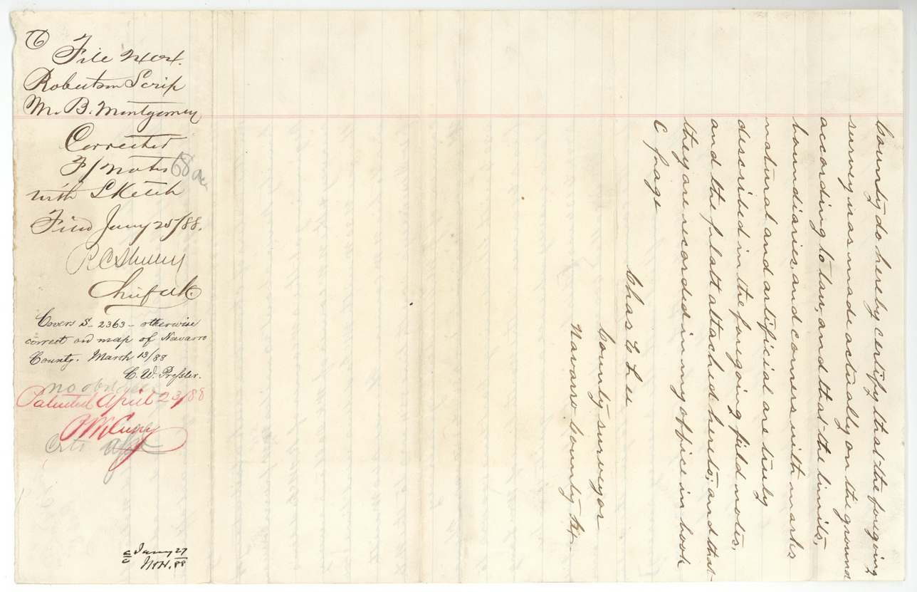
- 25 Jan 1888Corrected field notes (68 1/2 and 72 4/10 acres) filed
- 13 Mar 188868 1/2 acres passed as correct; 72 4/10 held up over the Scott preemption
- 23 Apr 1888Patent for 68 1/2 acres to George T. Jester, assignee
The papers in the file
Every page of the Land Office file, in the order the Land Office keeps them (23 pages). Tap a page to see it larger.
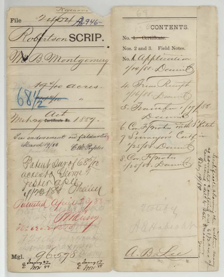
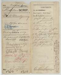 File jacketFile jacket for the M. B. Montgomery purchase file, with a list of contents and Land Office filing notes.General Land Office, file 2404, page 1 · in the scan
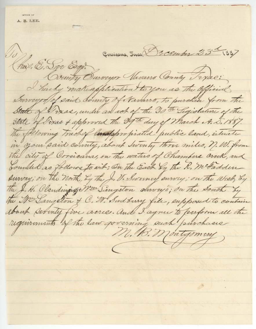
 LetterApplication of 23 December 1887 by M. B. Montgomery to County Surveyor Chas. E. Lee to buy about 75 acres of vacant land on Chambers Creek.General Land Office, file 2404, page 2 · in the scan
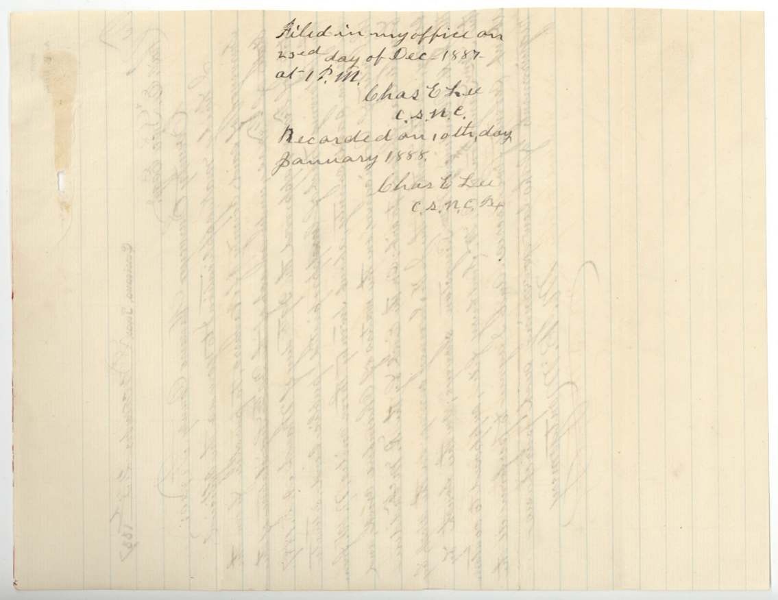
 WrapperBack of the application, with the county surveyor's filing and recording note of 1887 and 1888.General Land Office, file 2404, page 3 · in the scan
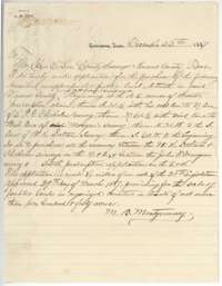 LetterSecond application of 23 December 1887 by M. B. Montgomery to buy the vacant strip between the Dalton and Morgan surveys.General Land Office, file 2404, page 4 · in the scan
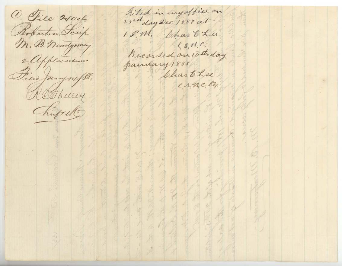
 WrapperFiling wrapper for the applications, with the county surveyor's note that they were filed in December 1887 and recorded 10 January 1888.General Land Office, file 2404, page 5 · in the scan
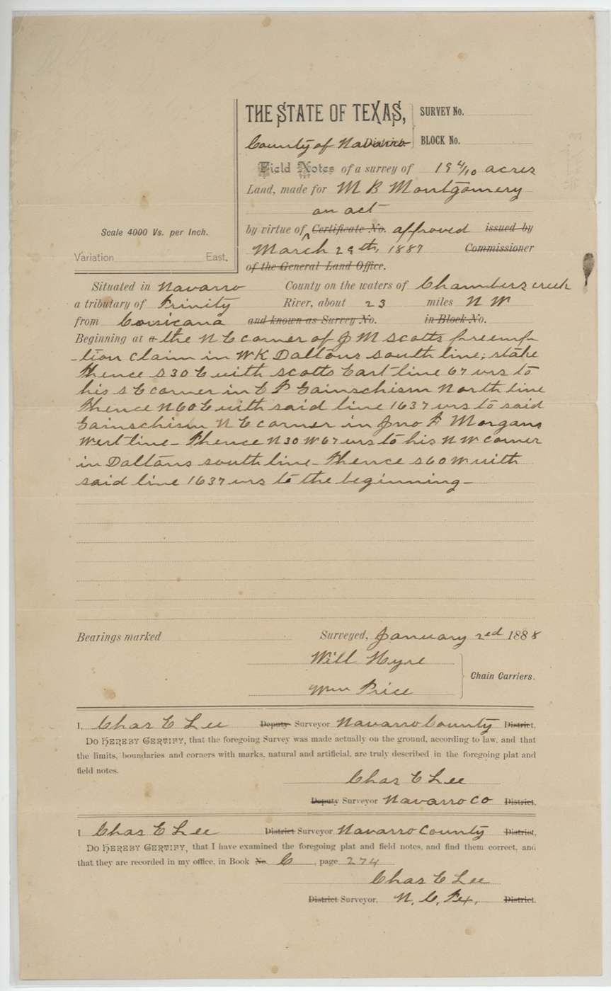
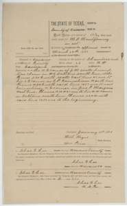 Field notesField notes of 19 4/10 acres on Chambers Creek surveyed for M. B. Montgomery by county surveyor Chas. E. Lee, 2 January 1888.General Land Office, file 2404, page 6 · in the scan
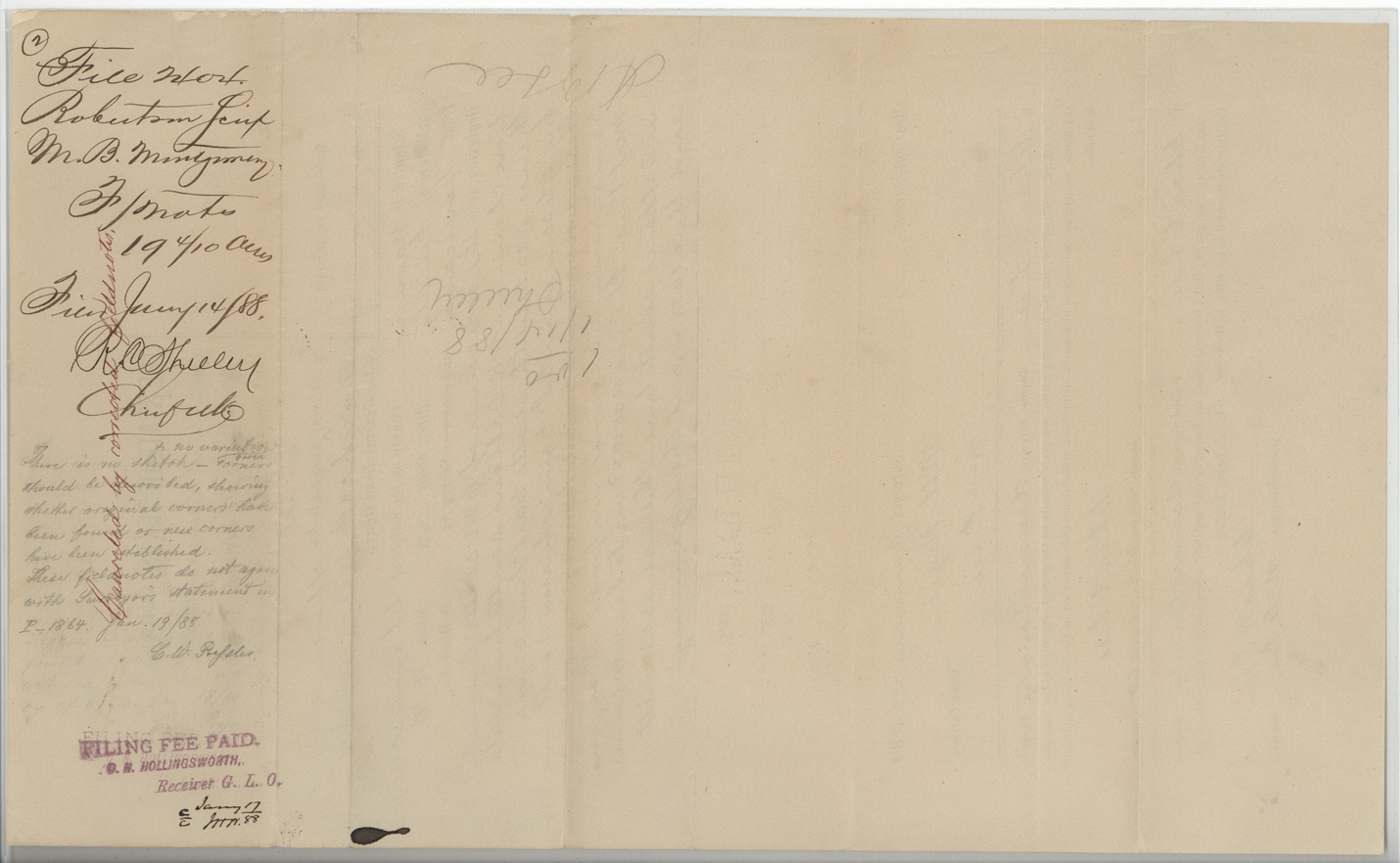
 WrapperBack of the 19 4/10-acre field notes, with the Land Office filing note and fee stamp of January 1888.General Land Office, file 2404, page 7 · in the scan
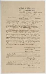 Field notesField notes of 74 4/10 acres on Chambers Creek surveyed for M. B. Montgomery by county surveyor Chas. E. Lee, 2 January 1888.General Land Office, file 2404, page 8 · in the scan
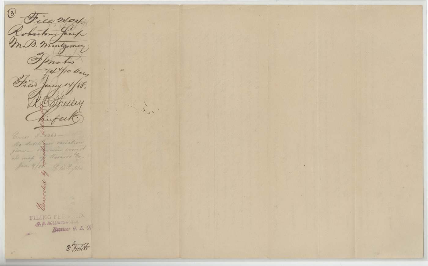
 WrapperBack of the 74 4/10-acre field notes, with the Land Office filing note and fee stamp of January 1888.General Land Office, file 2404, page 9 · in the scan
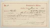 ReceiptTreasurer's receipt of 14 January 1888 for payment on M. B. Montgomery's land, signed by State Treasurer F. R. Lubbock.General Land Office, file 2404, page 10 · in the scan
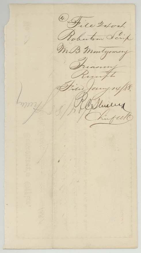
 WrapperBack of the Treasurer's receipt, with the Land Office filing note of January 1888.General Land Office, file 2404, page 11 · in the scan
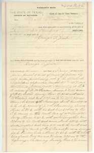 TransferWarranty deed of 12 January 1888 from M. B. Montgomery to George T. Jester for the 74 4/10-acre tract, first page.General Land Office, file 2404, page 12 · in the scan
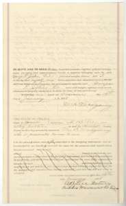 TransferSecond page of the warranty deed from M. B. Montgomery to George T. Jester, with the acknowledgment before notary A. B. Lee.General Land Office, file 2404, page 13 · in the scan
 Other papersPrinted county clerk's certificate of record, left unfilled, from the back of the warranty deed.General Land Office, file 2404, page 14 · in the scan
 WrapperOutside fold of the warranty deed from M. B. Montgomery to George T. Jester, with the Land Office filing note of 17 January 1888.General Land Office, file 2404, page 15 · in the scan
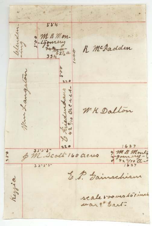
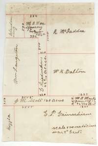 PlatSmall sketch plat showing the Montgomery tract beside the McFadden, Dalton and Langston surveys.General Land Office, file 2404, page 16 · in the scan
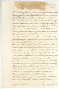 Field notesCorrected field notes of 68 1/2 acres on Chambers Creek surveyed for M. B. Montgomery by Chas. E. Lee, with a Land Office examination note of March 1888.General Land Office, file 2404, page 17 · in the scan
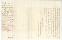 Surveyor's certificateBack of the corrected field notes, with the county surveyor's certificate and the Land Office filing note of 25 January 1888.General Land Office, file 2404, page 18 · in the scan
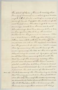 Surveyor's certificateSurveyor Chas. E. Lee's explanation of how he corrected the line along the Clendening and Langston surveys.General Land Office, file 2404, page 19 · in the scan
 WrapperBack of the explanation, with the surveyor's closing note and the Land Office filing note of 25 January 1888.General Land Office, file 2404, page 20 · in the scan
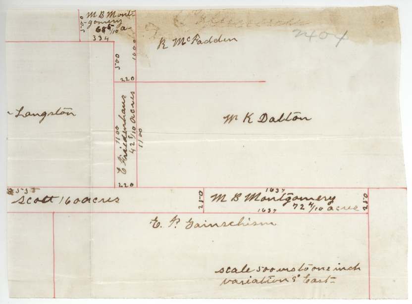
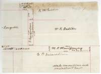 PlatSketch plat of the 72 4/10-acre strip for M. B. Montgomery beside the Dalton, McFadden and Scott claims.General Land Office, file 2404, page 21 · in the scan
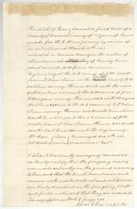 Field notesCorrected field notes of 72 4/10 acres on Chambers Creek for M. B. Montgomery, resurveyed by Chas. E. Lee, with his certificate.General Land Office, file 2404, page 22 · in the scan
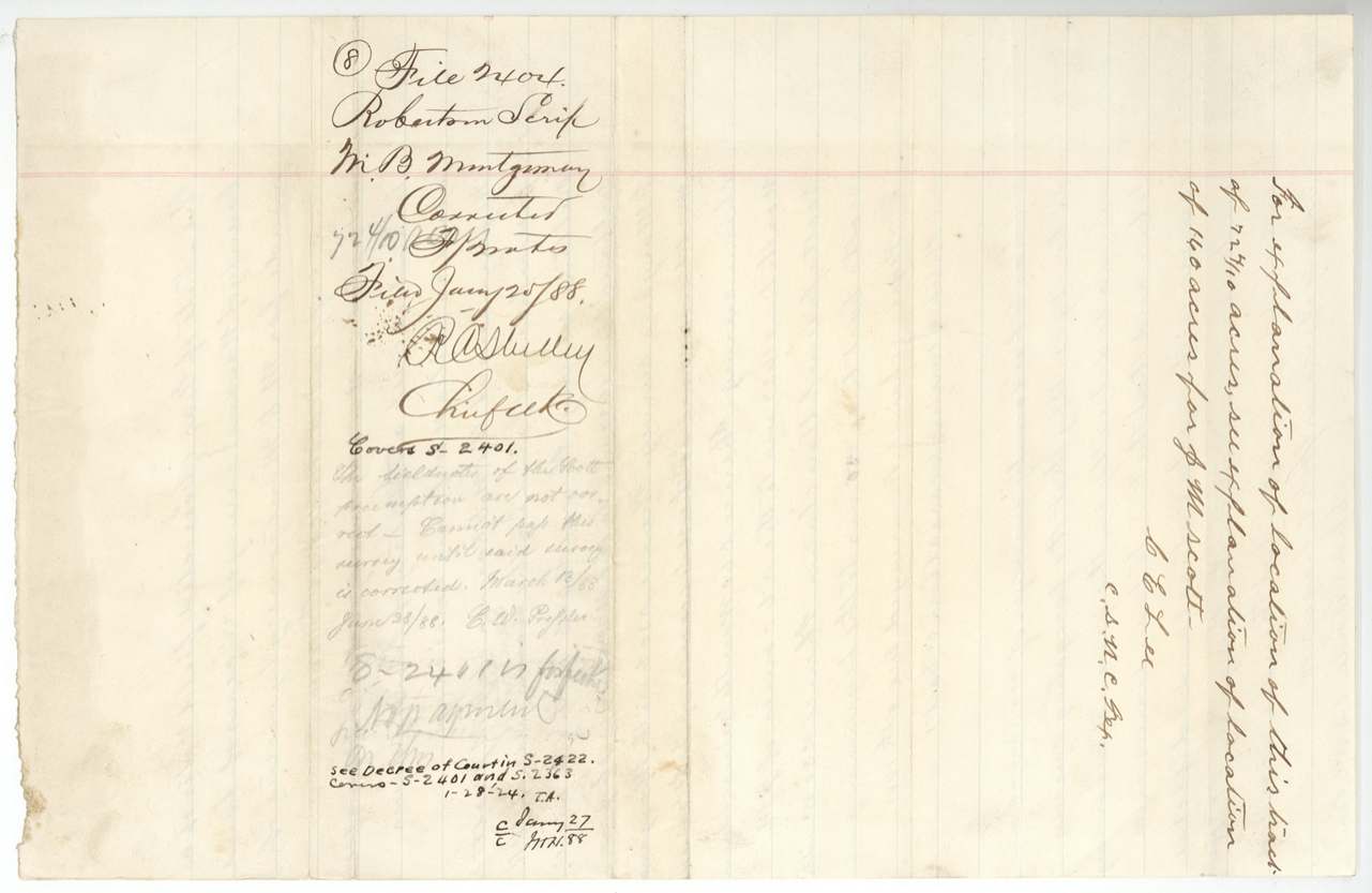
 WrapperBack of the 72 4/10-acre field notes, with the Land Office filing notes of 25 January 1888.General Land Office, file 2404, page 23 · in the scan
Scans courtesy of the Texas General Land Office, Austin, from its Land Grant Database.
Neighbouring surveys
Sources
- Texas General Land Office, Land Grant Database: Navarro County, Abstract 946
- The Land Office file, scanned (PDF, at the General Land Office)
- 1924 map: courtesy of the Texas General Land Office, Austin, Map 73249, used under licence. Topo: U.S. Geological Survey, The National Map. Aerial photographs: U.S. Department of Agriculture, National Agriculture Imagery Program, 2012, 2018 and 2022. Survey outlines: Railroad Commission of Texas, Original Texas Land Survey. Grant records and files: Texas General Land Office.