Blackland TX · ← All the original surveys
W. K. Dalton Survey, Abstract 201
- Granted to
- W. K. Dalton
- Kind of grant
- Headright, first classLand for settlers who were in Texas before independence, 2 March 1836.
- Land Office file
- Robertson 1st class, file 839
- Certificate
- No. 2944/3045
- Acres
- 1228.39
- Patented to
- Michael D. McKissick
- Patent
- 26 Mar 1859 · No. 814, Vol. 11
Tap a survey to open its page.
What the file shows
William K. Dalton held a first-class league-and-labor headright issued by the Liberty County board in 1838; in 1853 the GLO issued a certificate for its unlocated balance of 6,934,800 square varas. The right passed to James W. Henderson, who sold it in Grimes County in October 1855 to M. D. McKissick for $300. J. B. and B. R. Tyus entered the land in March 1857 and deputy surveyor Milton Wright surveyed it on Mill Creek on the Navarro-Ellis line in April 1857. The patent issued to McKissick as assignee in March 1859 and was forwarded to B. R. Tyus that November.
The certificate
headright 1st class (unlocated balance certificate), No. Unlocated balance certificate No. 2944/3045; original headright certificate No. 16, 1st class, 6,934,800 square varas (unlocated balance of one league and one labor; the deed calls it 1,232 acres), Unlocated balance certificate: J. Crosby(?), Commissioner, General Land Office. Original: Board of Land Commissioners of Liberty County, Austin (GLO); original in Liberty County, Unlocated balance 1853-07-23; original certificate 1838-02-01.
Remaining unlocated part of William K. Dalton's first-class headright of one league and one labor. The original certificate (arrival and family status) is not in this file.
Changes of hand
- not in this fileWilliam K. Dalton → James W. Henderson. Transfer is filed in GLO file 172-1 Travis, per wrapper.
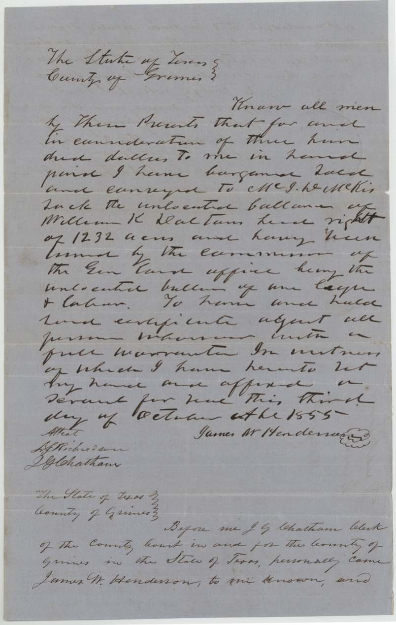
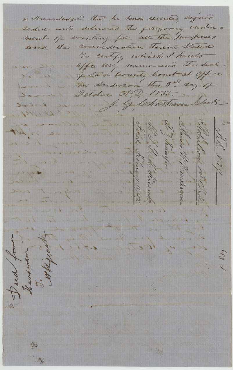
- 3 Oct 1855James W. Henderson → M. D. McKissick (written 'Mc J. D. McKissack'), $300, Grimes County. Sells the unlocated balance of Dalton's headright, 1,232 acres, issued by the GLO Commissioner, with full warranty. Docket: 'Deed from Henderson to McKissick', filed Feb(?) 16 '57.
The survey
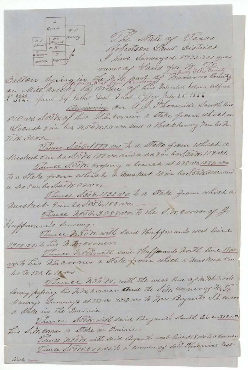
1857-04-03 (certified 1857-04-09), Milton Wright, Deputy Surveyor, Robertson Land District.
in the N.W. part of Navarro County and partly Ellis County, on Mill Creek, about 15(?) miles west from Corsicana
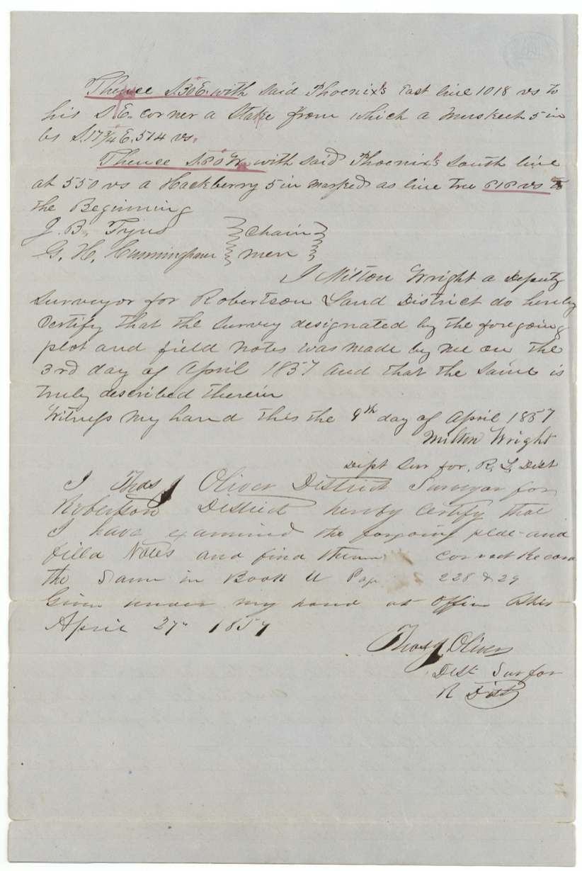
Chain carriers: J. B. Tyus, G. H. Cunningham.
Book U(?), pages 228-229
The patent
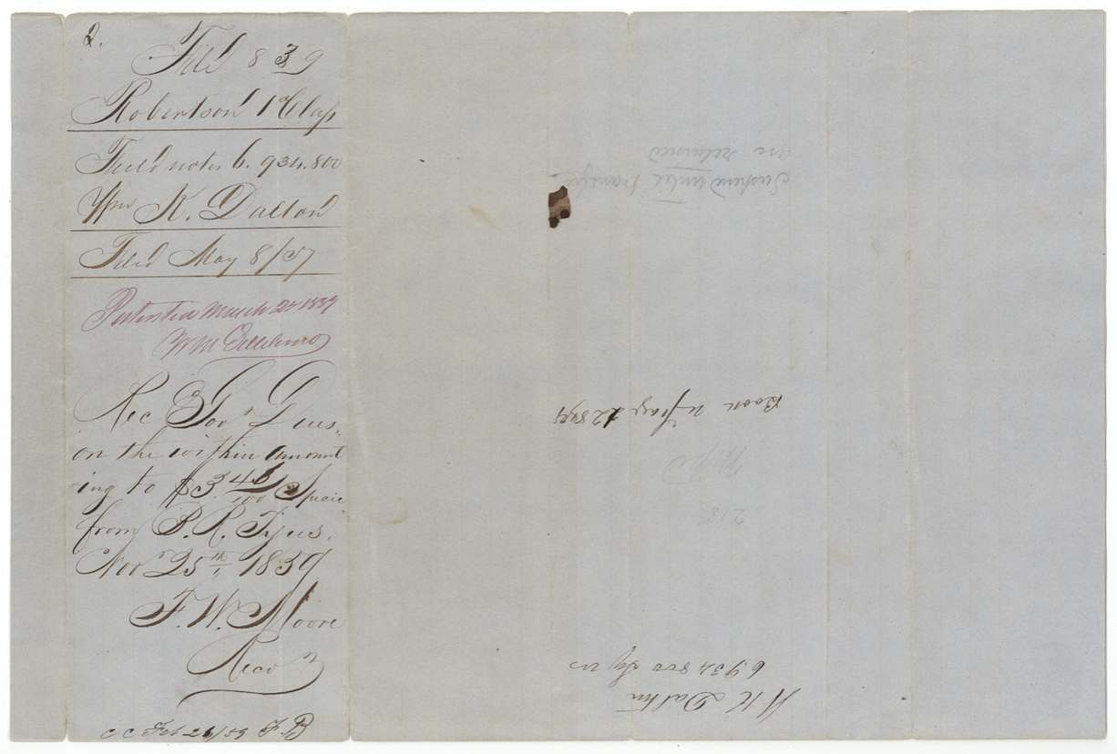
1859-03-2_ (wrapper and docket read 'March 22(?) 1859'), No. 514(?), Vol. 11, to M. D. McKissick, assignee, delivered to B. R. Tyus, Nov 25, 1859 ('Patent forwarded to B. R. Tyus').
Also in the file
- The tract straddles the Navarro-Ellis county line, so it carries an abstract number in each county.
- This is the leftover part of a league-and-labor headright first issued in Liberty County in 1838; the rest of it was surveyed elsewhere (files 70-1 Liberty and 172-1 Travis).
- The certificate passed from Dalton to James W. Henderson, who sold it in Grimes County for $300 to McKissick; the land was then entered and surveyed with J. B. Tyus carrying the chain, and B. R. Tyus paid the fees and received the patent.
- The deed calls the balance 1,232 acres, while the wrapper totals 1,228 (1,163 in Navarro plus 65 in Ellis).
Timeline
- 1 Feb 1838Liberty County board issues W. K. Dalton headright certificate No. 16, 1st class, league and labor
- 23 Jul 1853GLO issues unlocated balance certificate No. 2944/3045 for 6,934,800 sq. varas
- 3 Oct 1855James W. Henderson sells the balance to M. D. McKissick for $300, Grimes County
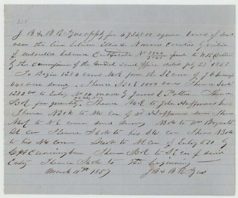
- 11 Mar 1857J. B. & B. R. Tyus file entry near the Ellis-Navarro line
- 3 Apr 1857Milton Wright surveys the tract on Mill Creek
- 27 Apr 1857Examined and recorded by Thos. J. Oliver, Book U pp. 228-229
- 8 May 1857Certificate and field notes filed in GLO
- 9 Mar 1859Map check: partly Navarro, partly Ellis
- Mar 1859Patent issued to M. D. McKissick, assignee
- 25 Nov 1859B. R. Tyus pays dues; patent forwarded to him
The papers in the file
Every page of the Land Office file, in the order the Land Office keeps them (10 pages). Tap a page to see it larger.
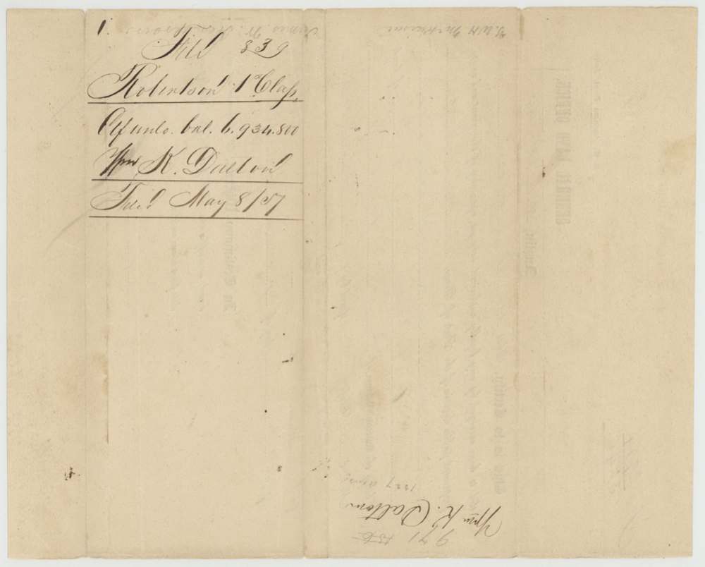
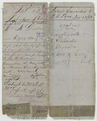 File jacketFile jacket for William K. Dalton's headright balance, with the patent forwarding note of November 1859.General Land Office, file 839, page 1 · in the scan
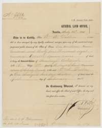 CertificateGeneral Land Office certificate of 23 July 1853 for William K. Dalton's unlocated balance of 6,934,800 square varas of his headright.General Land Office, file 839, page 3 · in the scan
 WrapperFiling wrapper for Dalton's certificate, filed 8 May 1857.General Land Office, file 839, page 4 · in the scan
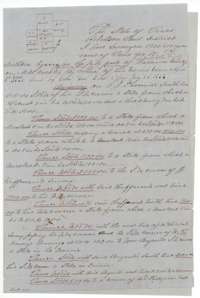 Field notesFirst page of field notes for 6,934,800 square varas on Mill Creek surveyed for William K. Dalton by deputy surveyor Milton Wright, April 1857.General Land Office, file 839, page 5 · in the scan
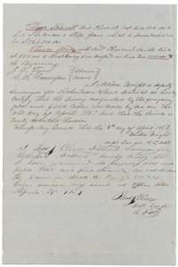 Surveyor's certificateEnd of the Dalton field notes, with Milton Wright's certificate and District Surveyor Thos. J. Oliver's examination of 27 April 1857.General Land Office, file 839, page 6 · in the scan
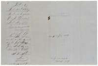 WrapperFiling wrapper for the Dalton field notes, with patent notes of March 1859 and the receipt of fees in November 1859.General Land Office, file 839, page 7 · in the scan
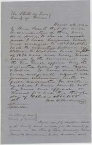 TransferFirst page of the deed of 3 October 1855 in which James W. Henderson sold Dalton's unlocated balance to M. D. McKissick.General Land Office, file 839, page 8 · in the scan
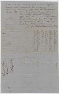 TransferEnd of the Henderson deed, with the Grimes County clerk's certificate of 3 October 1855 and the filing note.General Land Office, file 839, page 9 · in the scan
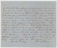 Other papersApplication of 11 March 1857 by J. B. and B. R. Tyus to locate Dalton's unlocated balance certificate, describing the tract.General Land Office, file 839, page 10 · in the scan
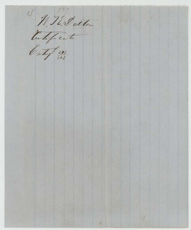
 WrapperFiling wrapper for the entry of William K. Dalton's certificate.General Land Office, file 839, page 11 · in the scan
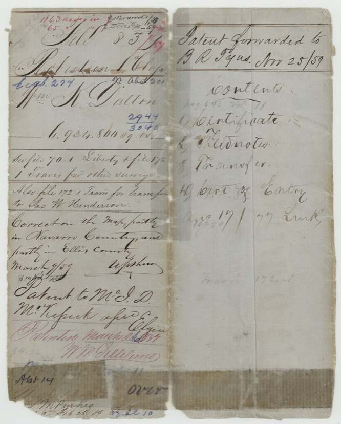
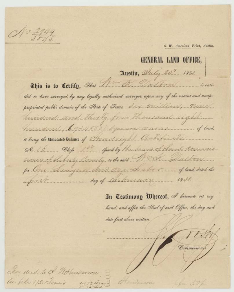
Scans courtesy of the Texas General Land Office, Austin, from its Land Grant Database.
Neighbouring surveys
Sources
- Texas General Land Office, Land Grant Database: Navarro County, Abstract 201
- The Land Office file, scanned (PDF, at the General Land Office)
- 1924 map: courtesy of the Texas General Land Office, Austin, Map 73249, used under licence. Topo: U.S. Geological Survey, The National Map. Aerial photographs: U.S. Department of Agriculture, National Agriculture Imagery Program, 2012, 2018 and 2022. Survey outlines: Railroad Commission of Texas, Original Texas Land Survey. Grant records and files: Texas General Land Office.