Blackland TX · ← All the original surveys
E. Friedenhaus Survey, Abstract 952
- Granted to
- E. Friedenhaus
- Kind of grant
- Land scripLand bought from the Republic with scrip.
- Land Office file
- Robertson Scrip, file 2398
- Acres
- 42.90
- Patented to
- A. B. Lee
- Patent
- 22 Jan 1889 · No. 125, Vol. 11
Tap a survey to open its page.
What the file shows
Under the 1879 public land sale act as amended in March 1887, E. Friedenhaus of Austin had Navarro County Surveyor Chas. E. Lee survey five small vacancies between older surveys in December 1887. The Land Office rejected two (42 acres near Corsicana and 45 acres on Richland Creek) because the old surveys actually met, and queried a 36-acre tract on Rush Creek, which moved to another file. Friedenhaus sold his right to the 42 9/10-acre tract on Chambers Creek waters to A. B. Lee of Corsicana for $200, Lee paid the State $85.80, and after the field notes were corrected the patent issued to A. B. Lee as assignee in January 1889 (Abst. 952). The 55 3/5-acre tract on Richland Creek was paid for at $111.20 and patented in August 1888 (Abst. 943).
The certificate
other — purchase of vacant public land under the sale act (no certificate), No. none ('Certificate No.' struck out on the forms), Five tracts applied for: 36, 42, 42 9/10, 45 and 55 3/5 acres; 98 50/100 acres paid for (42 9/10 + 55 3/5), State of Texas — sale under 'An Act to provide for the sale of a portion of the unappropriated Public Lands … ' approved 14 July 1879, as amended by act of the 20th Legislature approved 29 March 1887, Austin (payments to State Treasurer), Act approved 1887-03-29; surveys Dec 1887; payments Jan-Mar 1888.
Cash purchase of small unappropriated vacancies (gaps between older surveys) at $2 per acre
Changes of hand
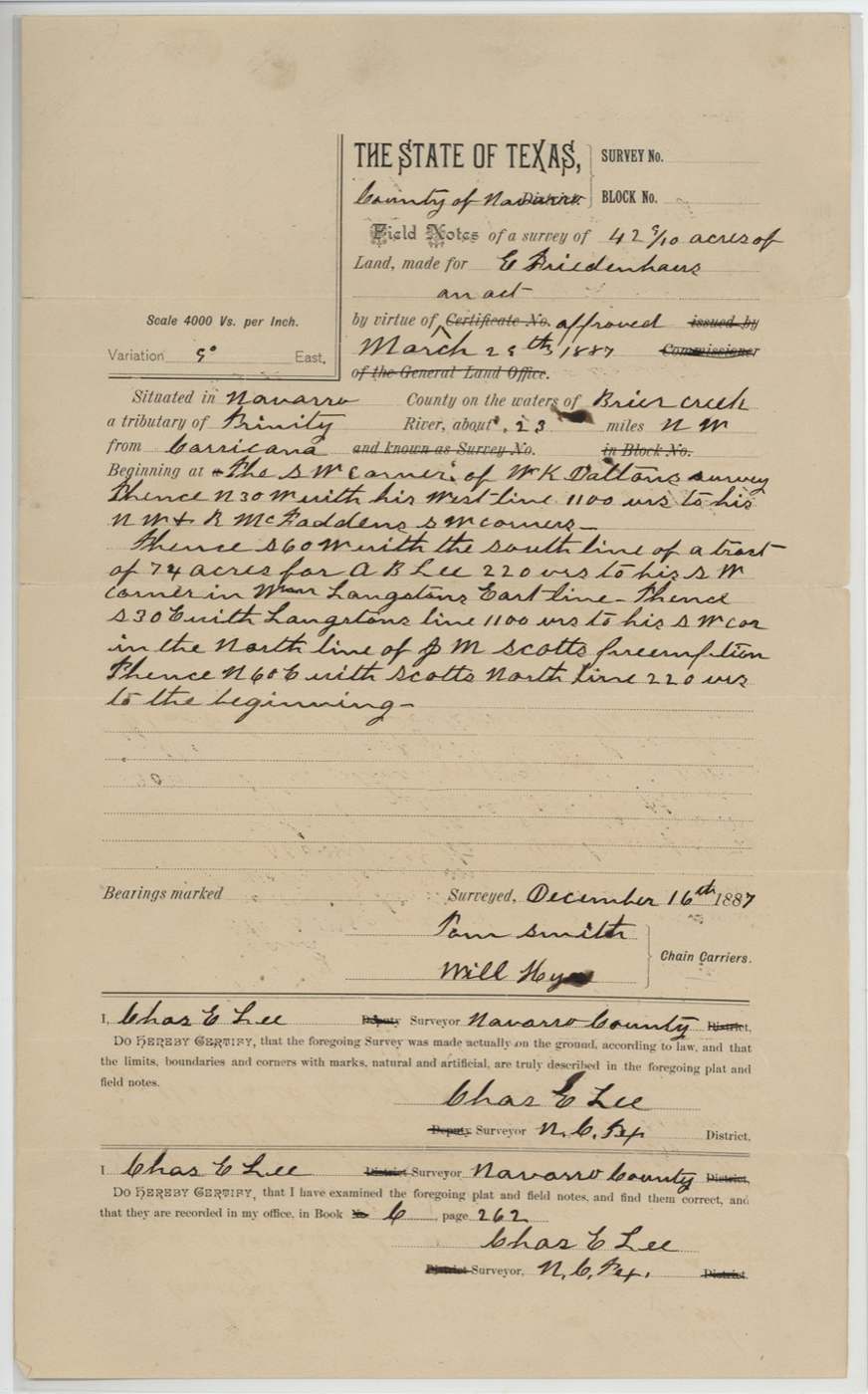
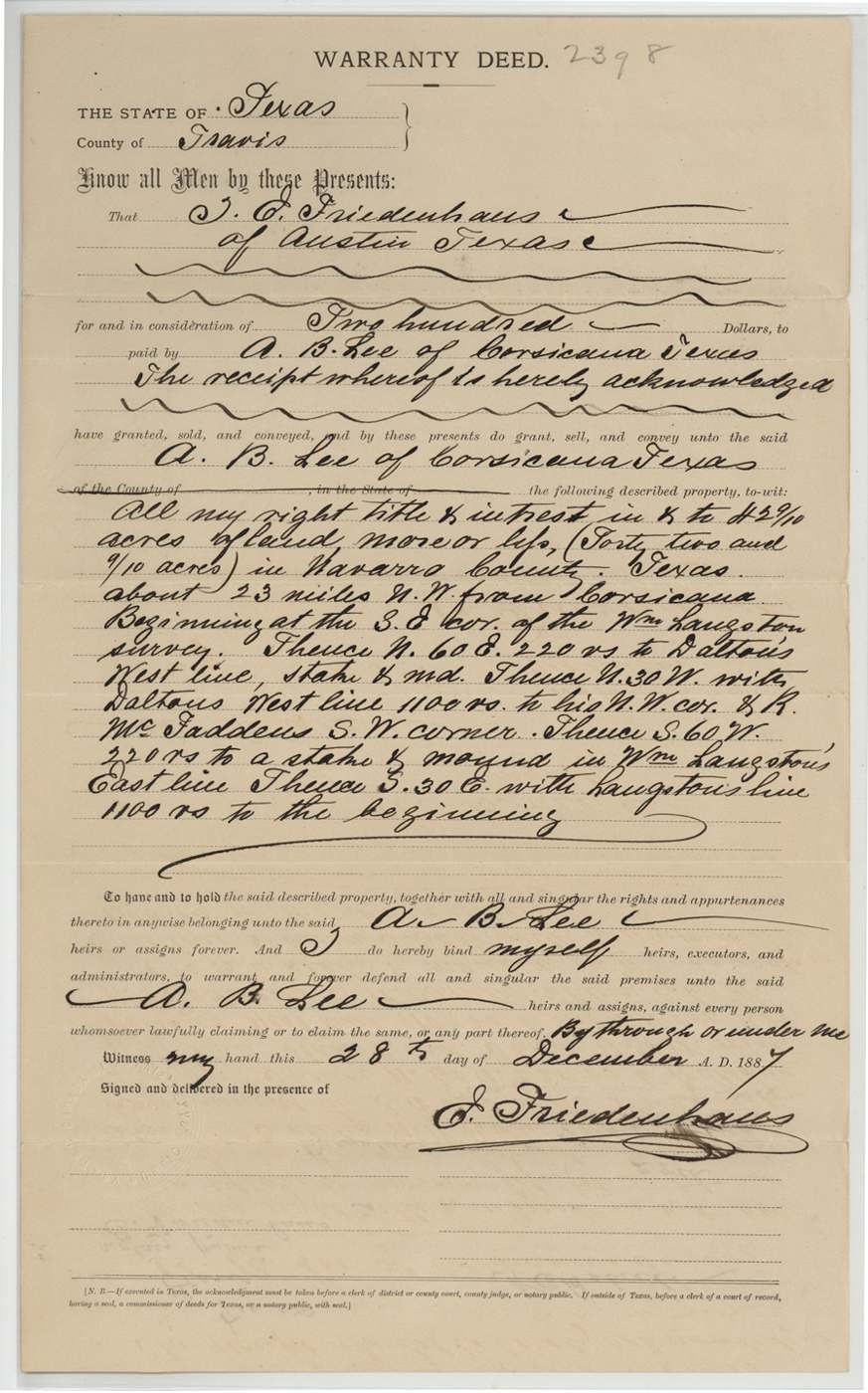
- 28 Dec 1887E. Friedenhaus, of Austin → A. B. Lee, of Corsicana, $200, Travis County. Special warranty deed for all right, title and interest in 42 9/10 acres about 23 miles NW of Corsicana, beginning at SE corner of Wm. Langston survey, with Dalton's west line to his NW corner and R. McFadden's SW corner. Filed GLO 17 Jan 1888.
The survey
1887-12-16; corrected field notes dated as surveyed 1887-12-21 and certified 1888-12-19, Chas. E. Lee, County Surveyor, Navarro County.
Navarro County, first given as waters of Brier Creek about 23 miles NW of Corsicana; corrected to waters of Chambers Creek about 19½ miles N 86 W of Corsicana
Chain carriers: Tom Smith, Will Hyre (corrected notes: Wm. Hyre).
Book C(?), page 262; corrected notes Book C, page 290
The survey
2 Dec 1887, Chas. E. Lee, County Surveyor, Navarro County.
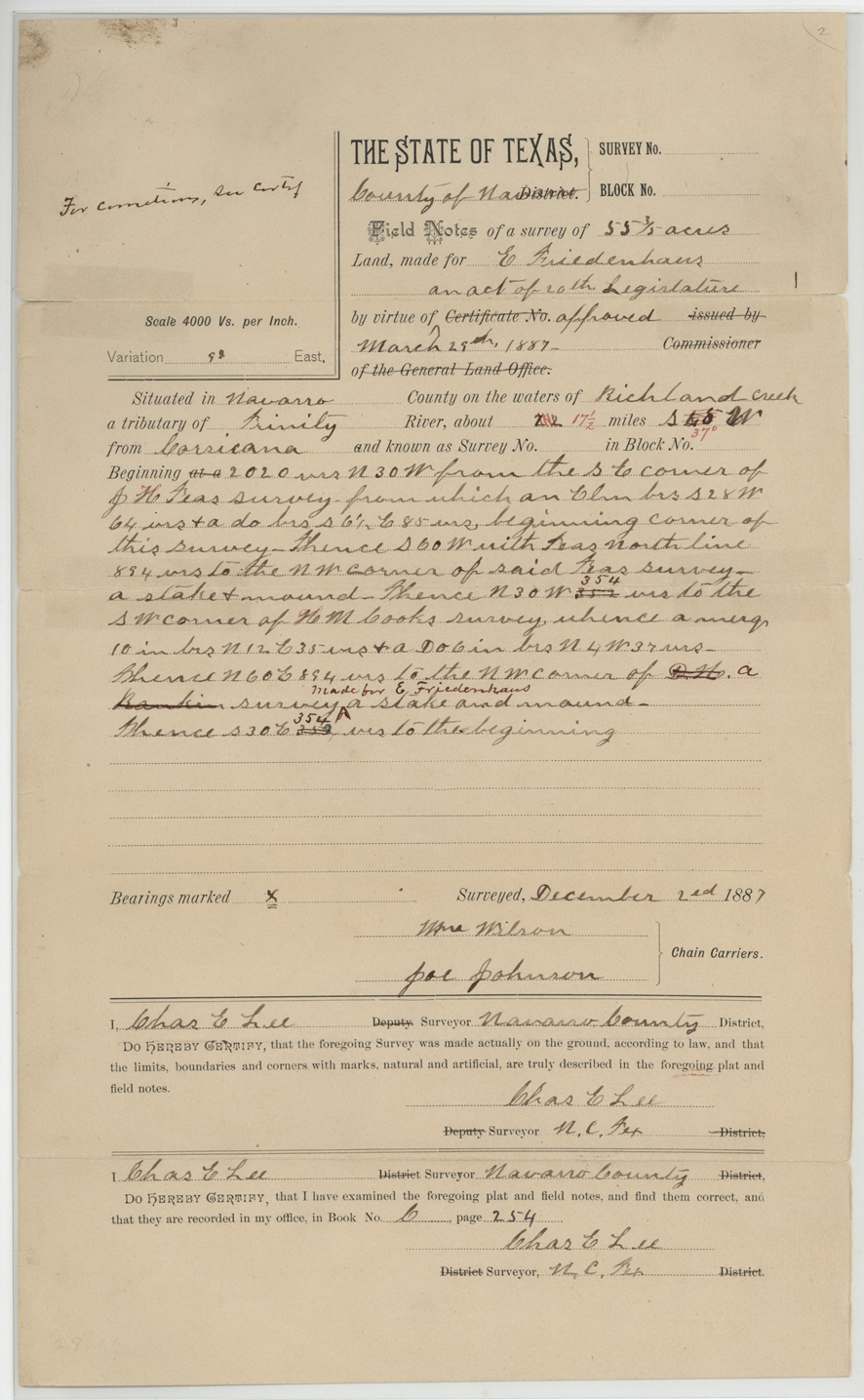
Navarro County, waters of Richland Creek, about 17½ miles S 55(?) W of Corsicana
Chain carriers: Wm. Wilson, Joe Johnson.
Book C, page 254
The survey
12 Dec 1887, Chas. E. Lee.
Navarro County, waters of Rush Creek, about 15 miles NE of Corsicana
Chain carriers: Wm. Hyre, Philip Walters(?).
Book C, page 260
The survey
17 Dec 1887, Chas. E. Lee.
Navarro County, waters of Mesquite(?) Creek, about 4 miles S 45 E of Corsicana
Chain carriers: H. C. Ballew(?), H. E. Ballew(?).
Book C, page 277
The survey
1887-12-2?, Chas. E. Lee.
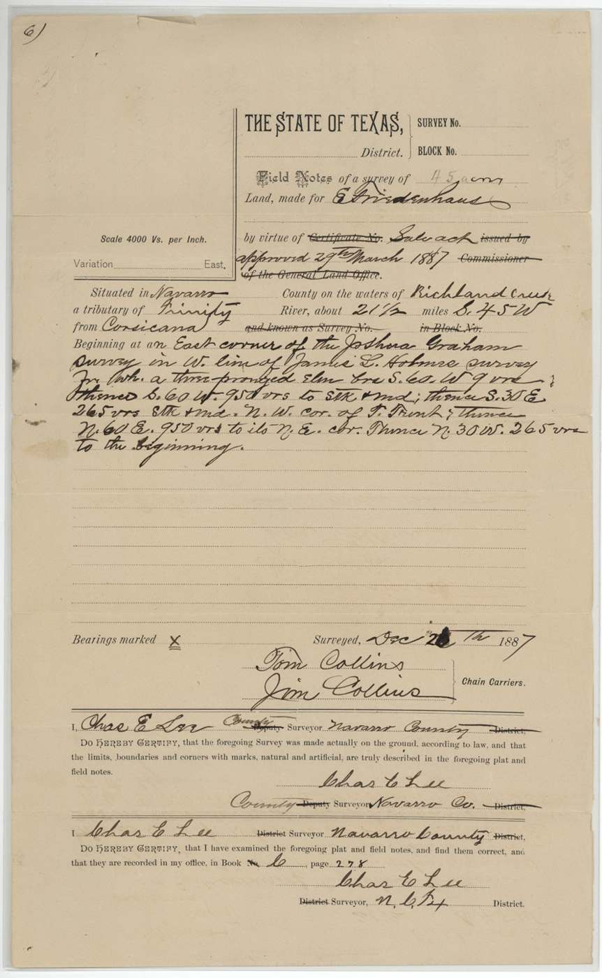
Navarro County, waters of Richland Creek, about 21½ miles S 45 W of Corsicana
Chain carriers: Tom Collins, Jim Collins.
Book C, page 278
The patent
Abst. 952 (42 9/10 a.): 1889-01-22 (jacket also 'Jany 19/89'); Abst. 943 (55 3/5 a.): 1888-08-17, Abst. 952: No. 125(?), vol. unclear; Abst. 943: No. 60, vol. unclear, to Abst. 952: A. B. Lee, assignee; Abst. 943: not stated.
Also in the file
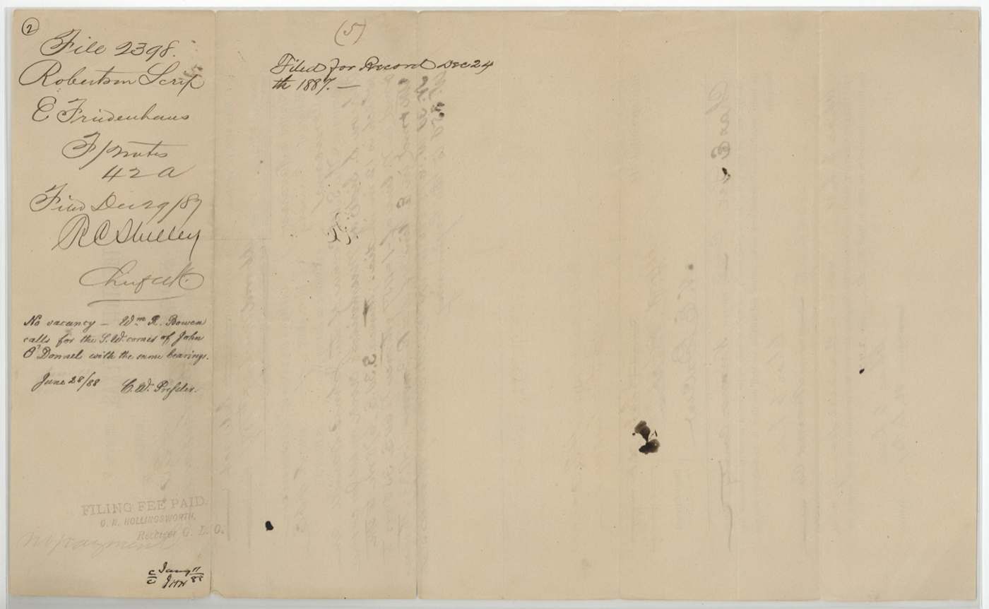
- This is a land-speculation file from the 1880s: an Austin man, E. Friedenhaus, had five small 'vacancies' surveyed in December 1887, betting that slivers of unclaimed land lay between the old 1840s-50s surveys. The Land Office rejected two outright (the 42-acre tract near Corsicana and the 45-acre tract on Richland Creek) because the old surveys actually touched.
- Friedenhaus sold his right to the 42 9/10-acre tract to A. B. Lee of Corsicana for $200 the same month it was surveyed, while the State's price was $85.80 — the vacancy hunter made a quick profit.
- The surveyor, Chas. E. Lee, and the buyer, A. B. Lee, share a surname; the file does not say whether they were related.
- The location of the 42 9/10-acre tract shifted on paper from 'Brier Creek, 23 miles NW' to 'Chambers Creek, 19½ miles N 86 W' of Corsicana when the field notes were corrected.
- Neighbour R. McFadden on the 42 9/10-acre tract is probably the Ruth McFadden survey (abstract 556).
Timeline
- 29 Mar 1887Legislature amends the 1879 public land sale act
- 2 Dec 1887Chas. E. Lee surveys 55 3/5 acres on Richland Creek (Abst. 943)
- 12 Dec 1887Lee surveys 36 acres on Rush Creek
- 16 Dec 1887Lee surveys 42 9/10 acres NW of Corsicana (Abst. 952)
- 17 Dec 1887Lee surveys 42 acres near Corsicana (later rejected)
- 28 Dec 1887Friedenhaus sells his right in the 42 9/10 acres to A. B. Lee for $200
- 29 Dec 1887Field notes filed in GLO
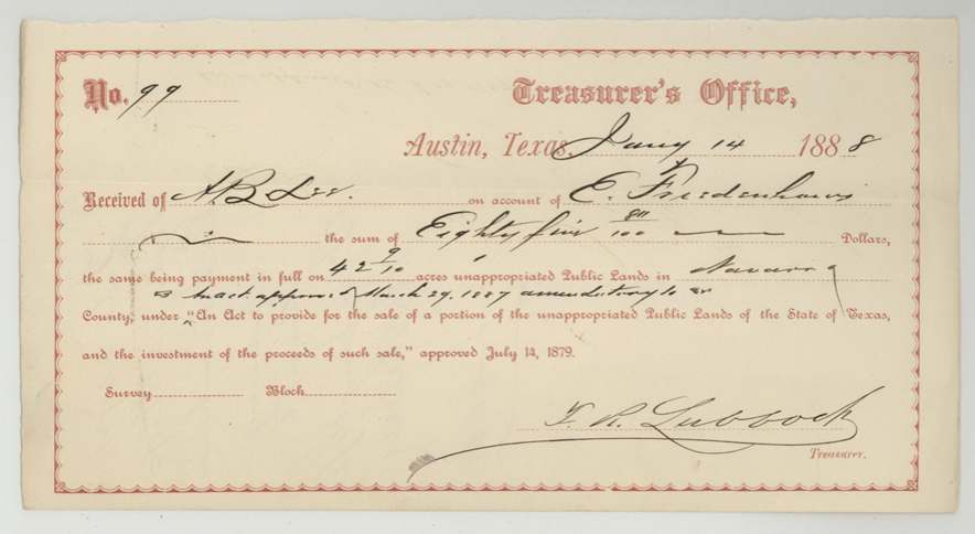
- 14 Jan 1888A. B. Lee pays $85.80 to State Treasurer for the 42 9/10 acres
- 28 Mar 1888$111.20 paid for the 55 3/5 acres
- 28 Jun 1888GLO rejects the 42-acre and 45-acre vacancies; queries the 36 acres
- 9 Aug 1888Lee certifies the 36-acre vacancy exists and corrects the 55 3/5-acre notes
- 17 Aug 188855 3/5 acres patented (Abst. 943)
- 19 Dec 1888Lee files corrected field notes for the 42 9/10 acres
- 22 Jan 188942 9/10 acres patented to A. B. Lee, assignee (Abst. 952)
The papers in the file
Every page of the Land Office file, in the order the Land Office keeps them (28 pages). Tap a page to see it larger.
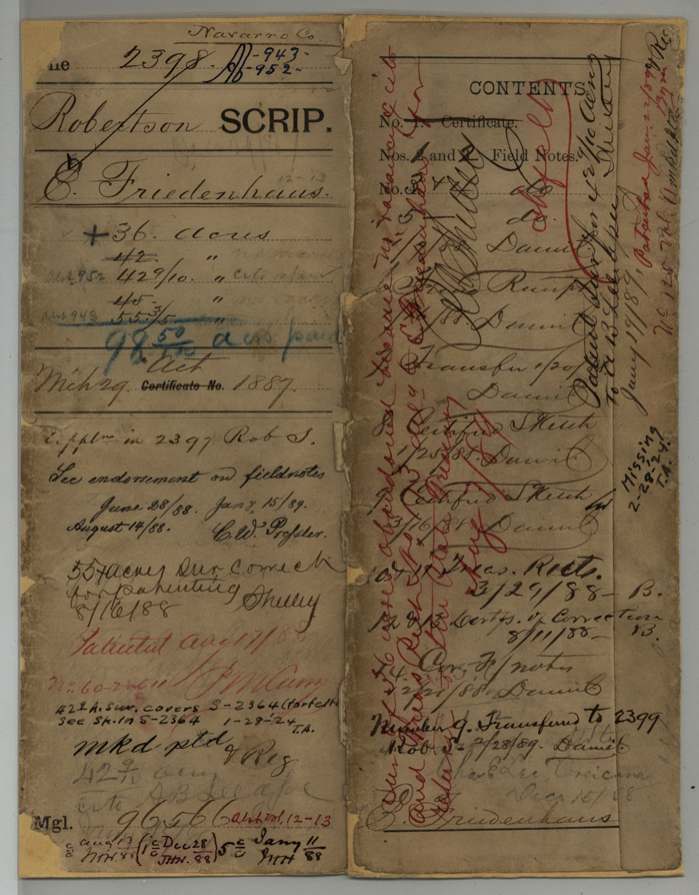
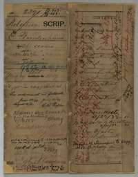 File jacketFile jacket for the Friedenhaus purchases of vacant land in Navarro County, listing the field notes, receipts and other papers it holds.General Land Office, file 2398, page 1 · in the scan
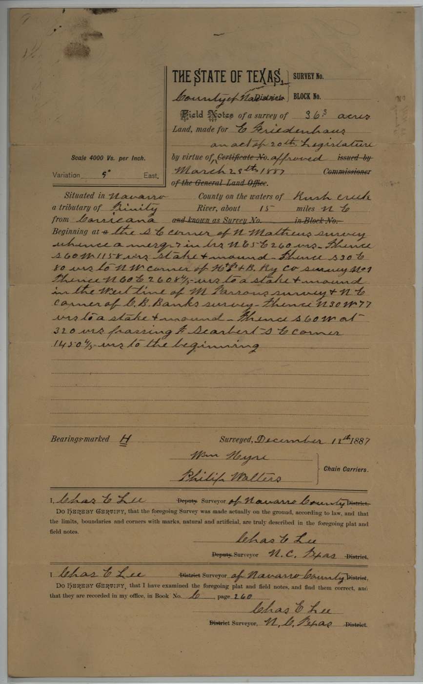
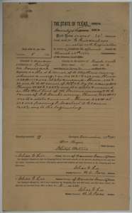 Field notesField notes for 36 acres on Rush Creek, surveyed for E. Friedenhaus by Navarro County surveyor Chas. E. Lee, 12 December 1887.General Land Office, file 2398, page 2 · in the scan
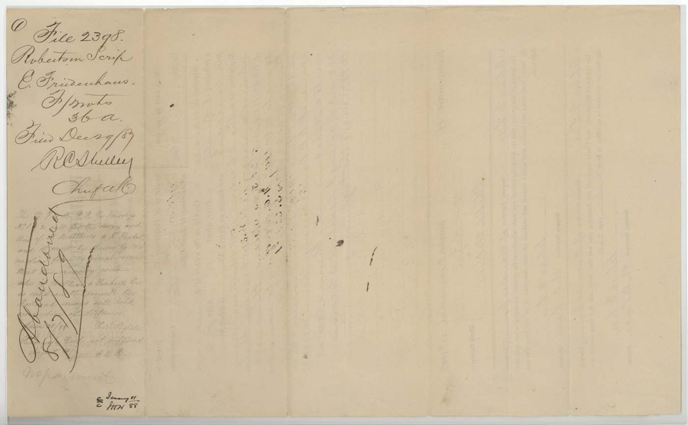
 WrapperFiling wrapper for the 36-acre field notes, with the Land Office file number and filing note.General Land Office, file 2398, page 3 · in the scan
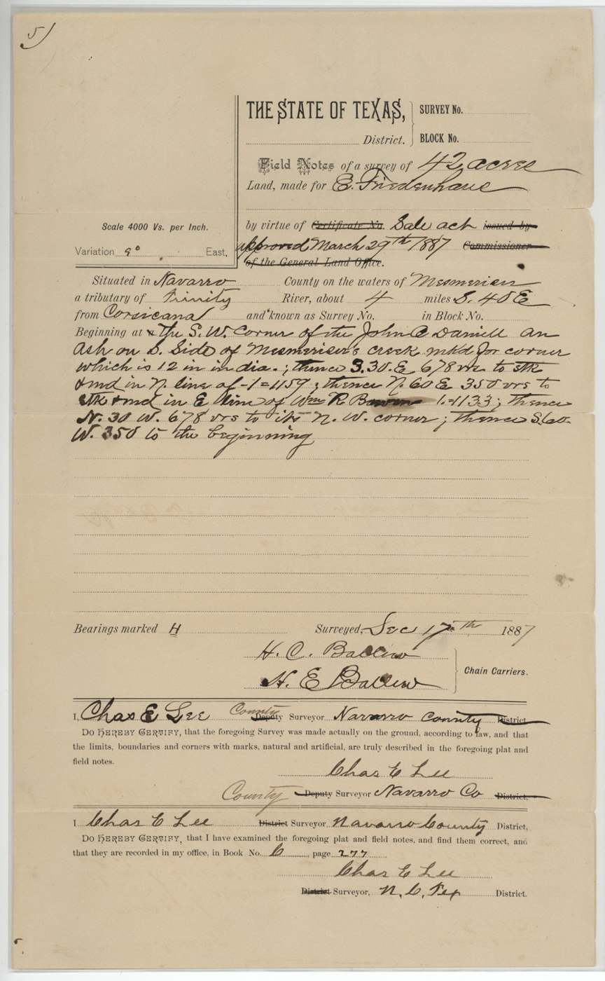
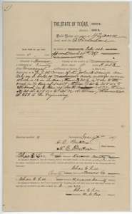 Field notesField notes for 42 acres south-east of Corsicana, surveyed for E. Friedenhaus by Chas. E. Lee, 17 December 1887.General Land Office, file 2398, page 4 · in the scan
 WrapperFiling wrapper for the 42-acre field notes, with a Land Office note that the vacancy did not exist.General Land Office, file 2398, page 5 · in the scan
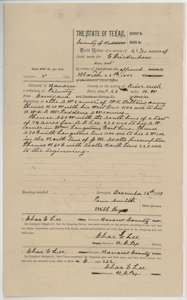 Field notesField notes for 42 9/10 acres, surveyed for E. Friedenhaus by Navarro County surveyor Chas. E. Lee, 16 December 1887.General Land Office, file 2398, page 6 · in the scan
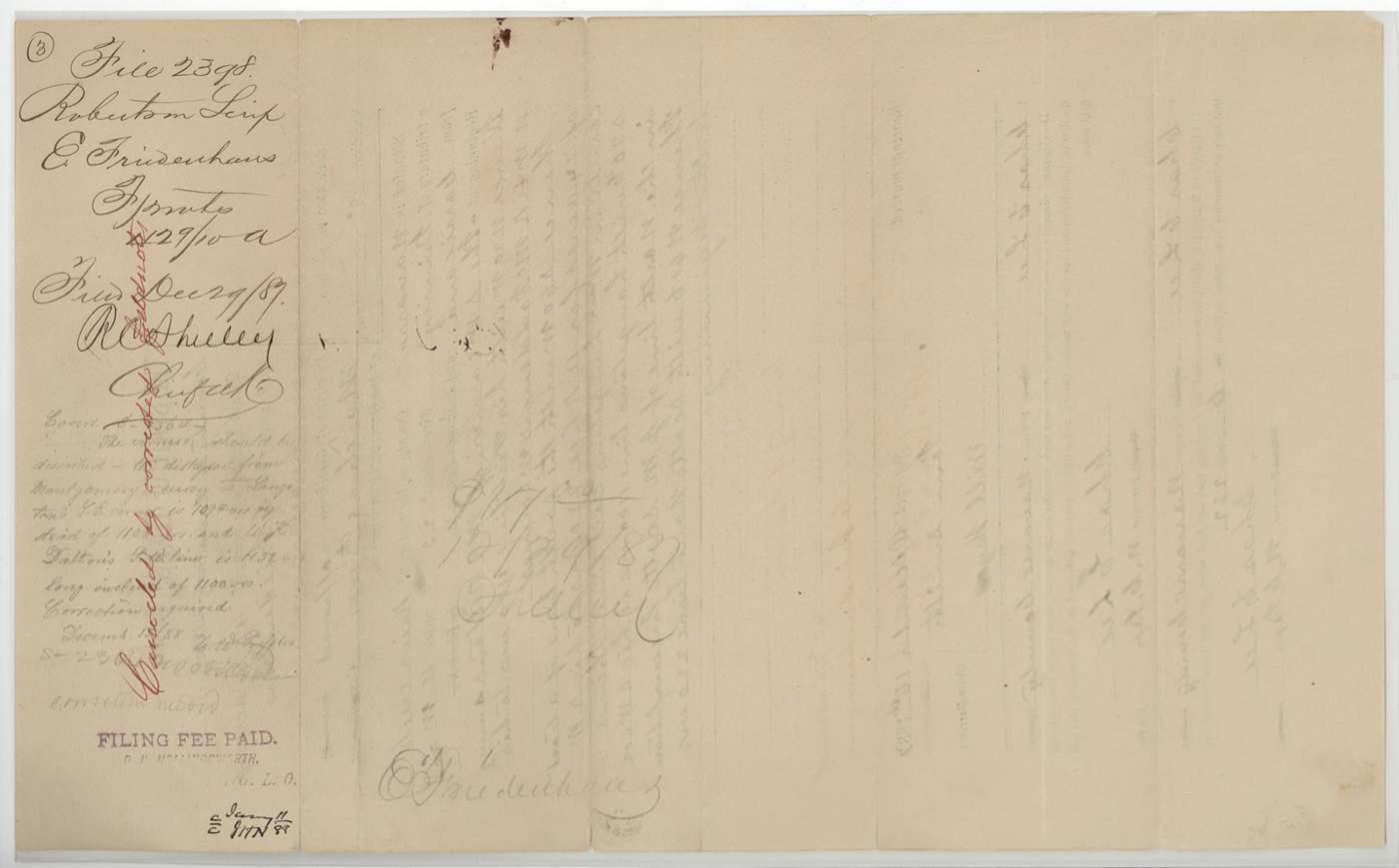
 WrapperFiling wrapper for the 42 9/10-acre field notes, marked as filed 29 December 1887.General Land Office, file 2398, page 7 · in the scan
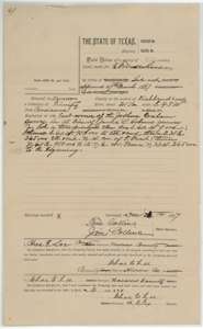 Field notesField notes for 45 acres on the waters of Richland Creek, surveyed for E. Friedenhaus by Chas. E. Lee in December 1887.General Land Office, file 2398, page 8 · in the scan
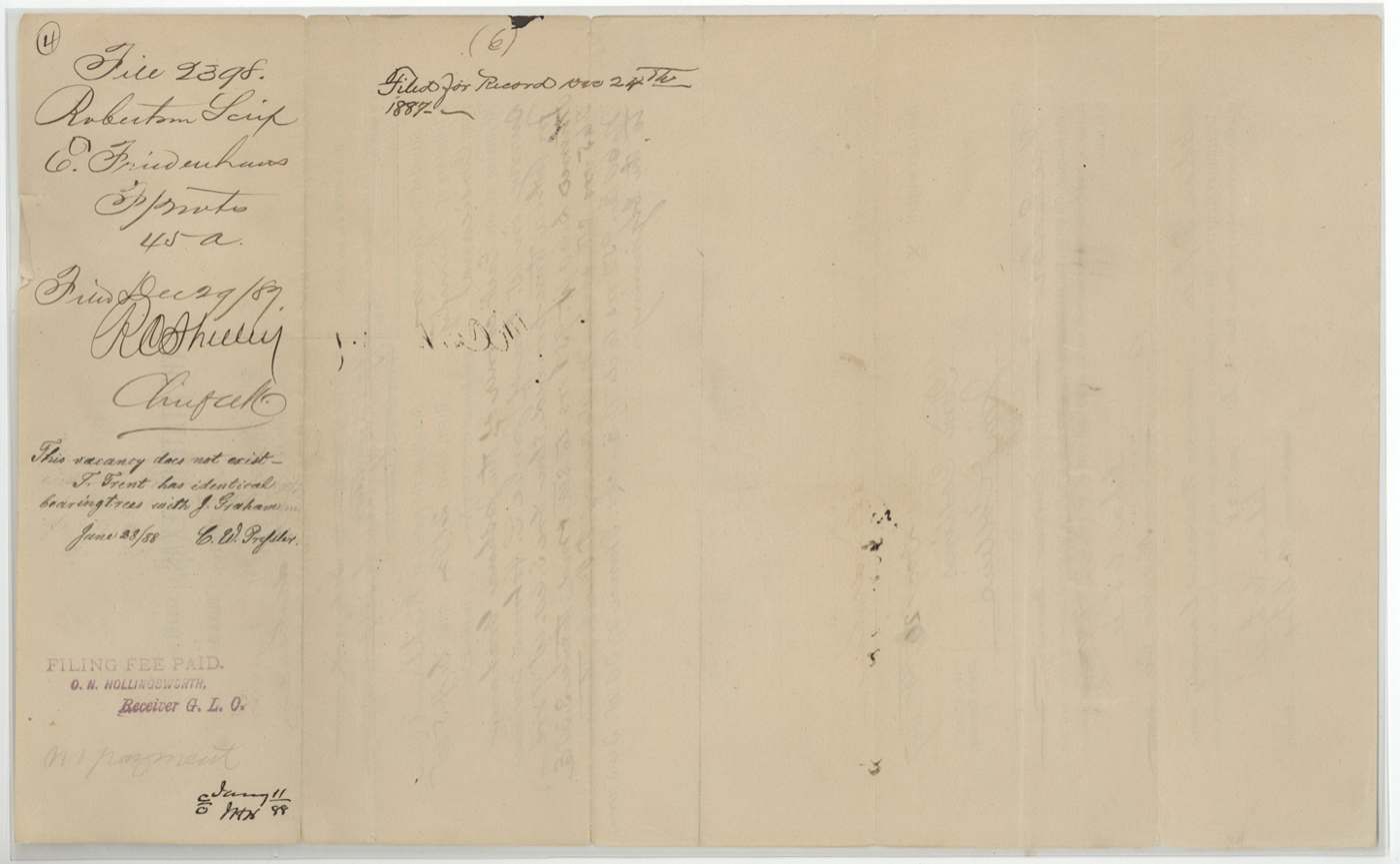
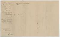 WrapperFiling wrapper for the 45-acre field notes, with a Land Office note that the vacancy did not exist.General Land Office, file 2398, page 9 · in the scan
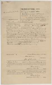 Field notesField notes for 55 3/5 acres on Richland Creek, surveyed for E. Friedenhaus by Navarro County surveyor Chas. E. Lee, 2 December 1887.General Land Office, file 2398, page 10 · in the scan
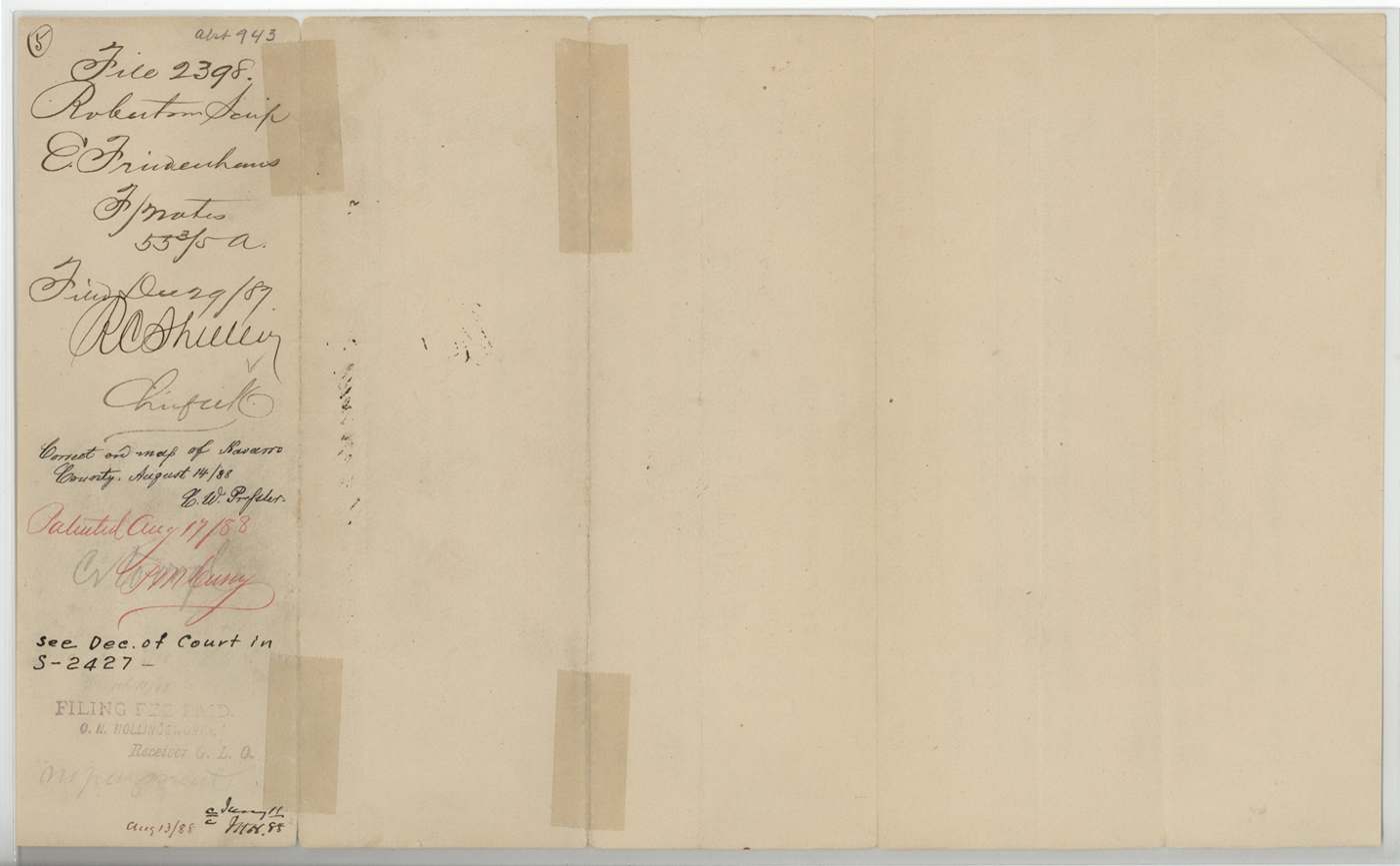
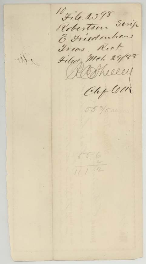
 WrapperFiling wrapper for the 55 3/5-acre field notes, with Land Office filing and map-check notes.General Land Office, file 2398, page 11 · in the scan
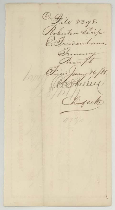
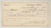 ReceiptState Treasurer's receipt No. 99, Austin, 14 January 1888, for $85.80 paid by A. B. Lee for 42 9/10 acres in Navarro County.General Land Office, file 2398, page 12 · in the scan
 WrapperFiling wrapper for the Treasurer's receipt, with the Land Office file number.General Land Office, file 2398, page 13 · in the scan
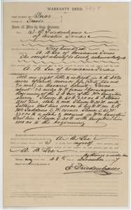 TransferWarranty deed of 28 December 1887 in which E. Friedenhaus of Austin sells to A. B. Lee of Corsicana his right to 42 9/10 acres in Navarro County for $200.General Land Office, file 2398, page 14 · in the scan
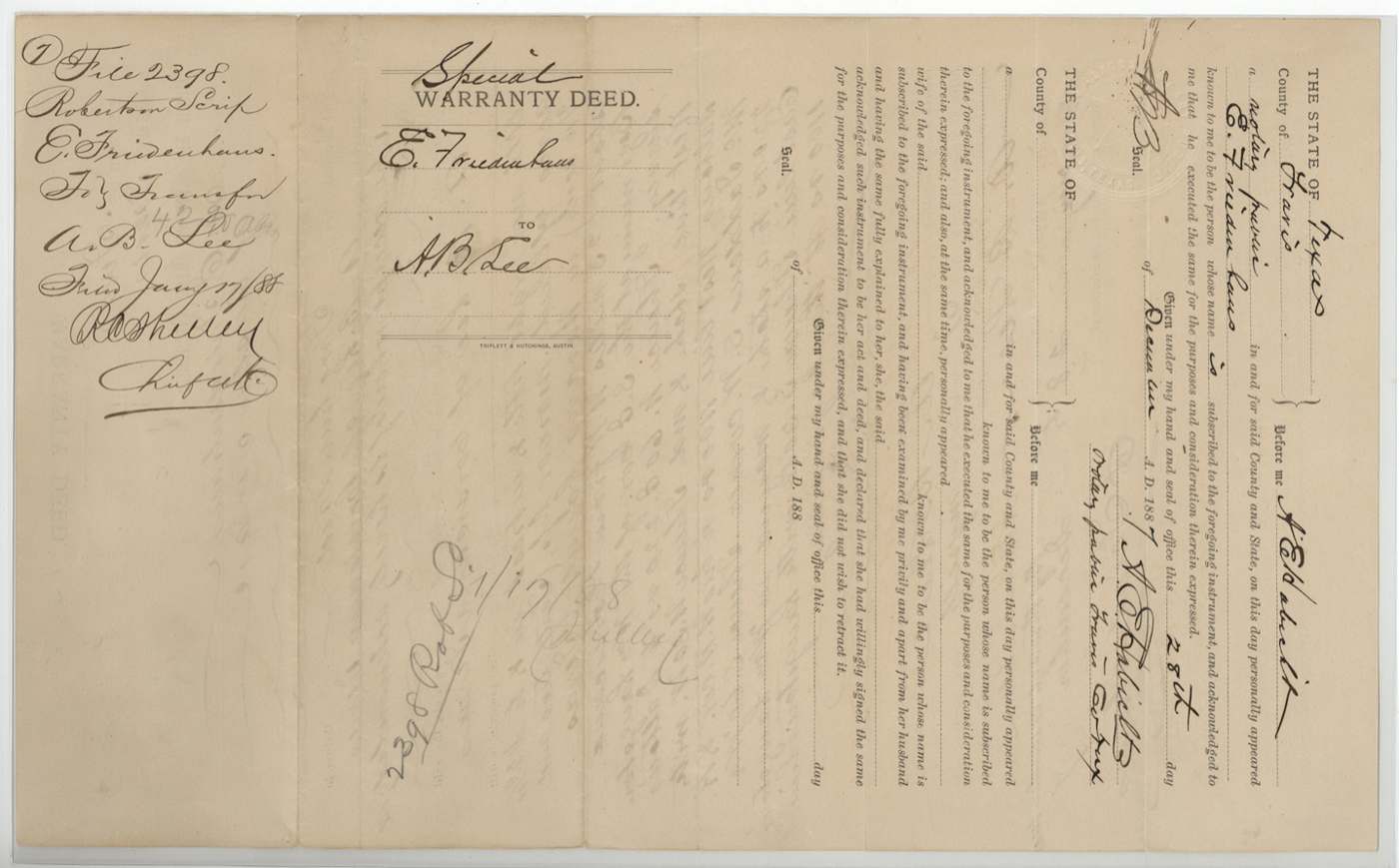
 TransferBack of the deed, with the notary's acknowledgment and the Land Office filing note.General Land Office, file 2398, page 15 · in the scan
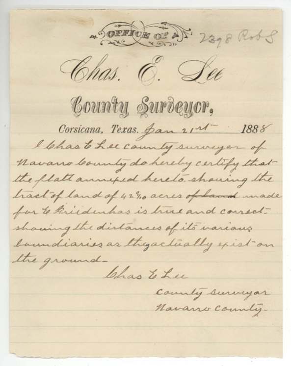
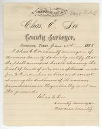 Surveyor's certificateCertificate of Navarro County surveyor Chas. E. Lee, Corsicana, 21 January 1888, that the attached plat of the Friedenhaus tract is true and correct.General Land Office, file 2398, page 16 · in the scan
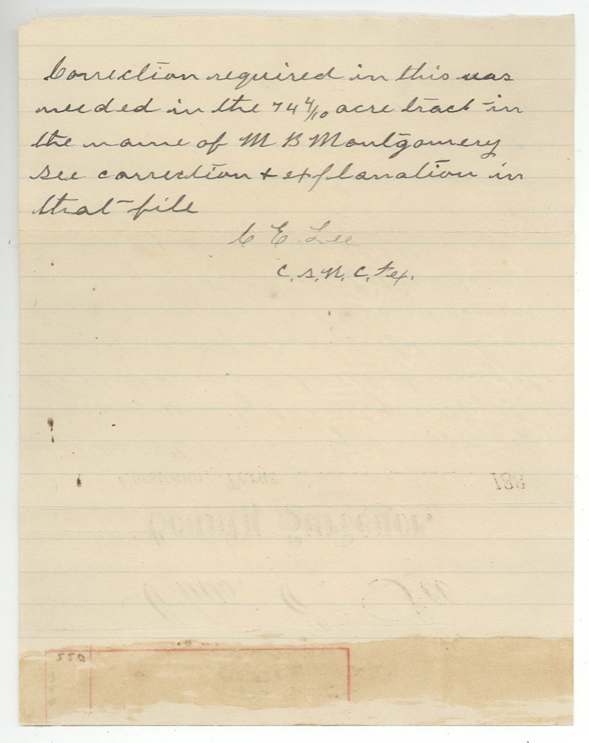
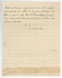 CorrectionHandwritten Land Office note that a correction was needed in the 74 4/10-acre tract of M. B. Montgomery.General Land Office, file 2398, page 17 · in the scan
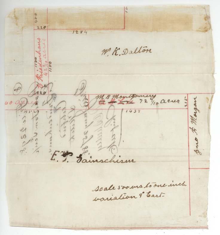
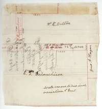 PlatHand-drawn sketch of the 42 9/10-acre tract among the neighbouring surveys of W. K. Dalton, M. B. Montgomery and others.General Land Office, file 2398, page 18 · in the scan
 WrapperBack of the sketch, marked as a certified sketch and filed 25 January 1888.General Land Office, file 2398, page 19 · in the scan
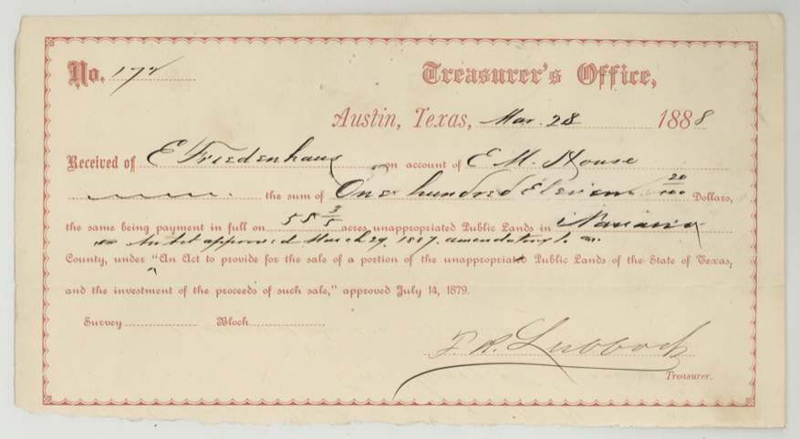
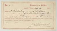 ReceiptState Treasurer's receipt, Austin, 28 March 1888, for $111.20 paid for 55 3/5 acres in Navarro County.General Land Office, file 2398, page 20 · in the scan
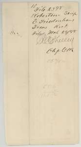 WrapperFiling wrapper for the second Treasurer's receipt, filed 29 March 1888.General Land Office, file 2398, page 21 · in the scan
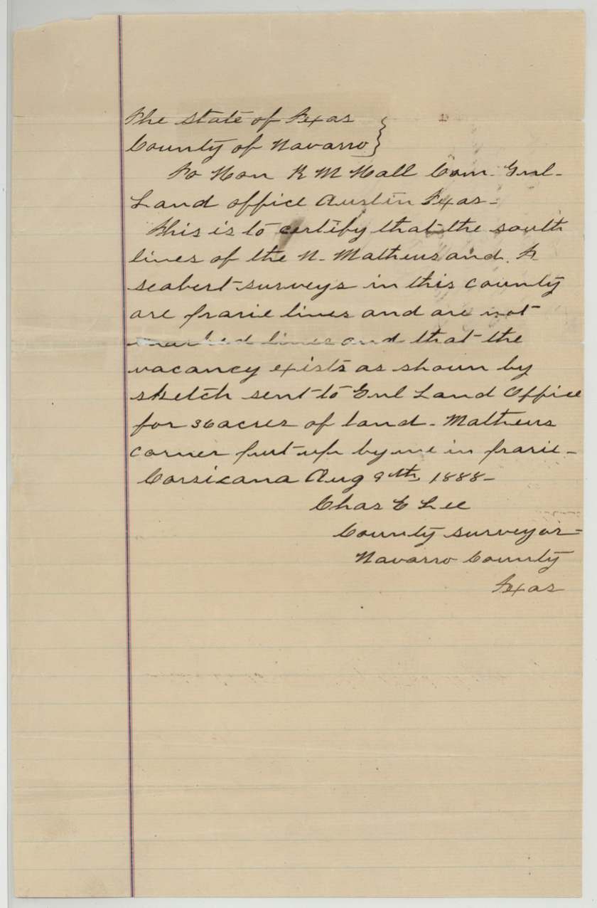
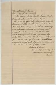 LetterLetter from Navarro County surveyor Chas. E. Lee to the Land Commissioner, Corsicana, 9 August 1888, saying the 36-acre vacancy exists between older surveys.General Land Office, file 2398, page 22 · in the scan
 WrapperBack of Lee's letter, with the Land Office file number and filing note.General Land Office, file 2398, page 23 · in the scan
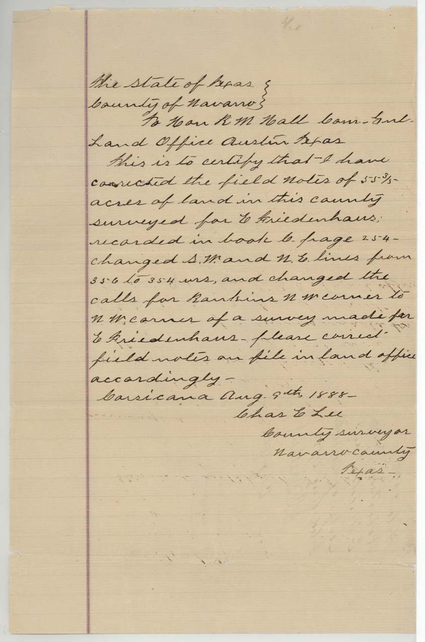
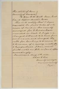 LetterLetter from Chas. E. Lee to the Land Commissioner, 9 August 1888, correcting the lines and corner calls of the 55 3/5-acre field notes.General Land Office, file 2398, page 24 · in the scan
 WrapperBack of Lee's correction letter, with the Land Office filing note.General Land Office, file 2398, page 25 · in the scan
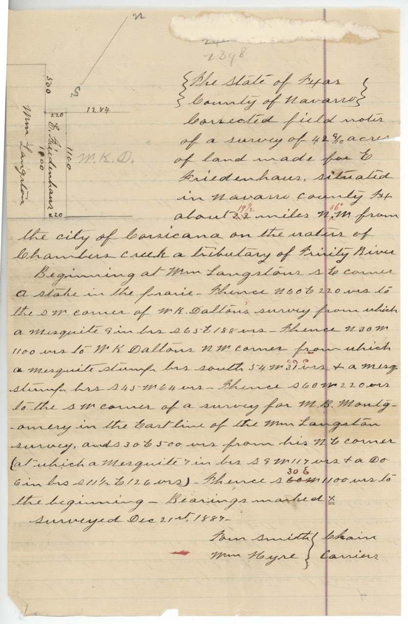
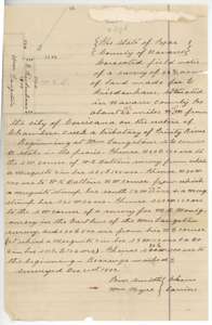 Field notesCorrected field notes for the 42 9/10-acre tract on Chambers Creek, surveyed for E. Friedenhaus by Chas. E. Lee.General Land Office, file 2398, page 26 · in the scan
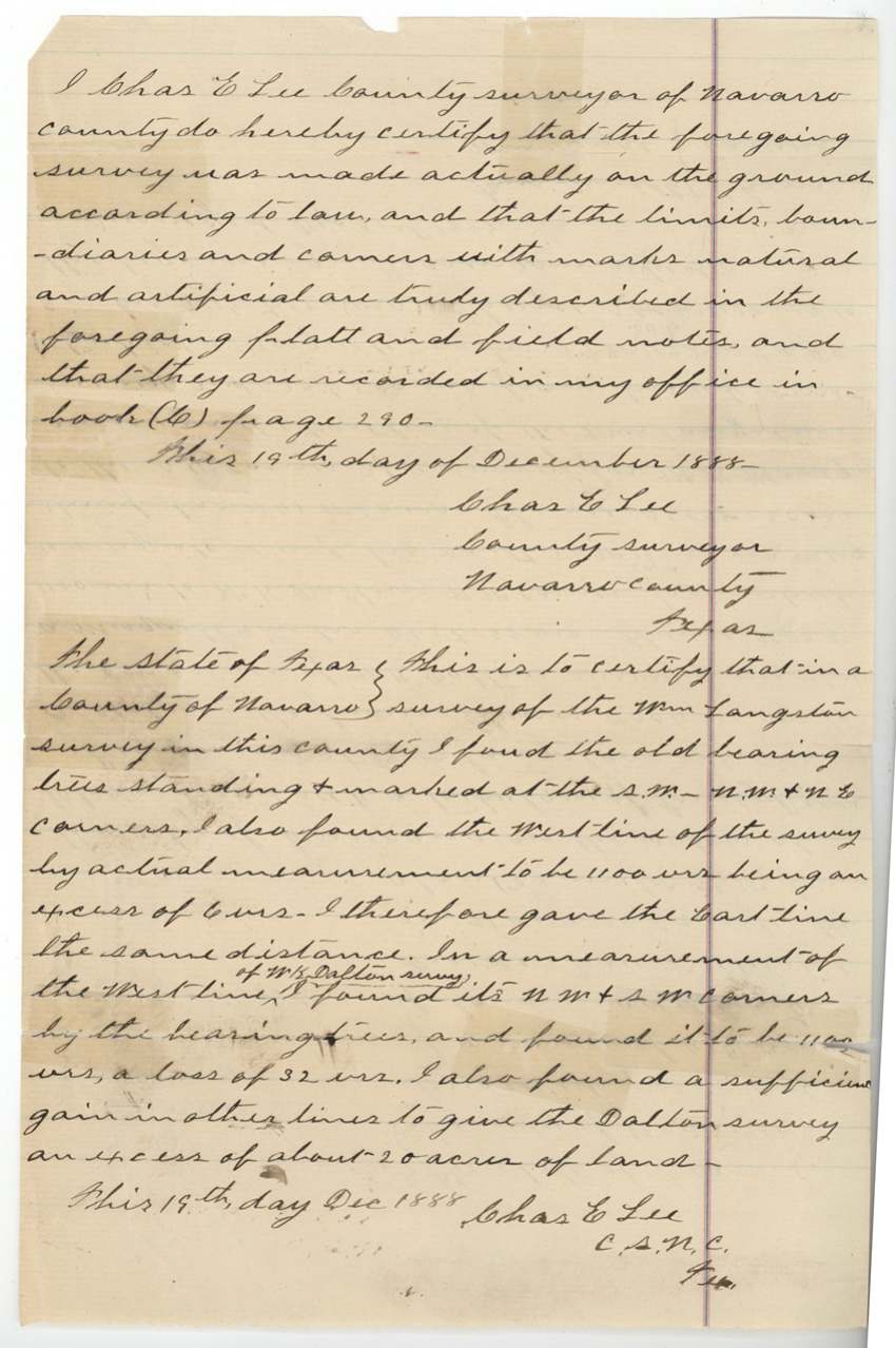
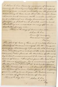 Surveyor's certificateSurveyor's certificate of 19 December 1888 by Chas. E. Lee, with his statement about the old bearing trees and line lengths on the neighbouring surveys.General Land Office, file 2398, page 27 · in the scan
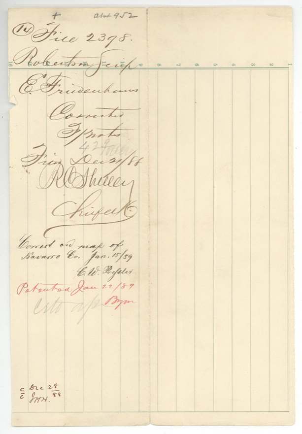
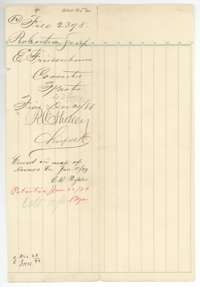 WrapperFile wrapper for the 42 9/10-acre survey, with notes that the map was checked and the land patented 22 January 1889.General Land Office, file 2398, page 28 · in the scan
Scans courtesy of the Texas General Land Office, Austin, from its Land Grant Database.
Neighbouring surveys
Sources
- Texas General Land Office, Land Grant Database: Navarro County, Abstract 952
- The Land Office file, scanned (PDF, at the General Land Office)
- 1924 map: courtesy of the Texas General Land Office, Austin, Map 73249, used under licence. Topo: U.S. Geological Survey, The National Map. Aerial photographs: U.S. Department of Agriculture, National Agriculture Imagery Program, 2012, 2018 and 2022. Survey outlines: Railroad Commission of Texas, Original Texas Land Survey. Grant records and files: Texas General Land Office.