Blackland TX · ← All the original surveys
Thomas H. Garner Survey, Abstract 302
- Granted to
- Thomas H. Garner
- Kind of grant
- Headright, first classLand for settlers who were in Texas before independence, 2 March 1836.
- Land Office file
- Robertson 1st class, file 1062
- Certificate
- No. 479
- Acres
- 177.10
- Patented to
- William Balch
- Patent
- 08 Nov 1862 · No. 104, Vol. 17
Tap a survey to open its page.
What the file shows
Thomas H. Garner, a married man who came to Texas in 1835, received a one-labor certificate (No. 479) from the San Augustine County Board on 23 March 1838. In June 1849 at Corsicana he sold the certificate to William Balch for $30. Corsicana locator James E. Patton entered it on Mill Creek in 1859, relocated it in 1860, and County Surveyor J. M. Eliot surveyed it on 12 September 1860, about 16½ miles west of Corsicana between the Neill, Huffman, Nanney and Bryant surveys. Despite a noted overlap with a Bryan survey, the patent (No. 104, Vol. 17) issued to Balch as assignee in November 1862 and was sent to Patton.
The certificate
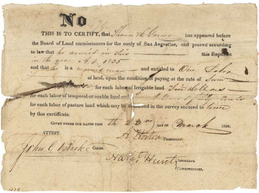
headright 1st class (one labor), No. 479, one labor (deed says 176 or 177 acres), Board of Land Commissioners for the County of San Augustine — A. Horton, President; Hale(?) Hunt, associate commissioner; John O. Burke(?), clerk, San Augustine County, 23 Mar 1838.
Thomas H. Garner proved he arrived in this Republic in 1835 and is a married man; entitled to one labor on condition of paying $7(?) per labor of irrigable land, $5 per labor of temporal (arable) land and $2.50 per labor of pasture land
Changes of hand
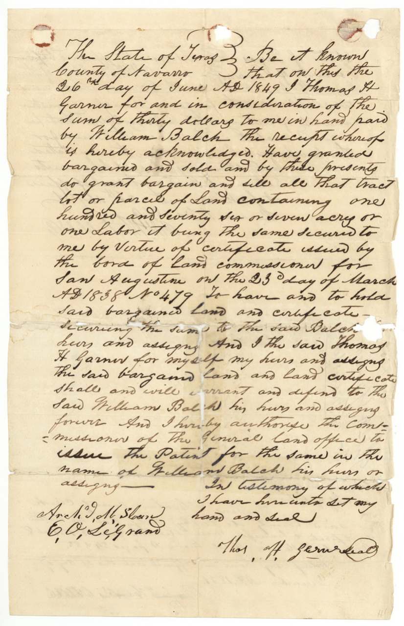
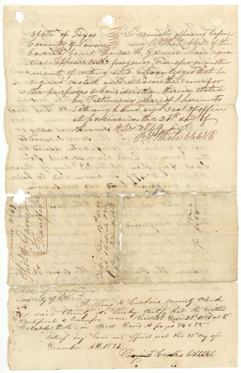
- 26 Jun 1849Thomas H. Garner → William Balch, $30, Navarro County (acknowledged at Corsicana). Sells the labor (176 or 177 acres) and certificate No. 479, warrants title, and asks the GLO to issue the patent to Balch. Filed in Ellis County 17 Dec 1851 and recorded 23 Dec 1851 in Deed Record A pp. 84-85 by Benj. F. Hawkins(?), County Clerk; fee $1.85 paid.
The survey
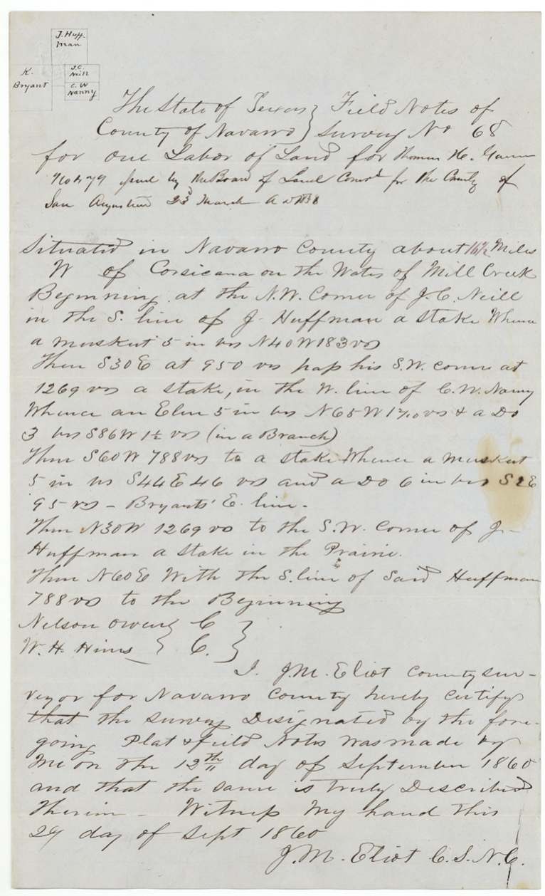
1860-09-12 (certified 1860-09-29), J. M. Eliot, County Surveyor, Navarro County.
Navarro County, about 16½ miles W of Corsicana, on the waters of Mill Creek
Chain carriers: Nelson Owens, W. H. Hines(?).
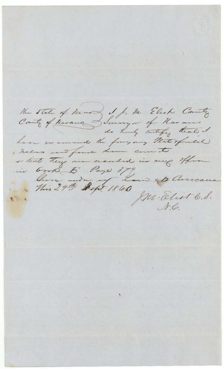
Book B, page 379
The patent
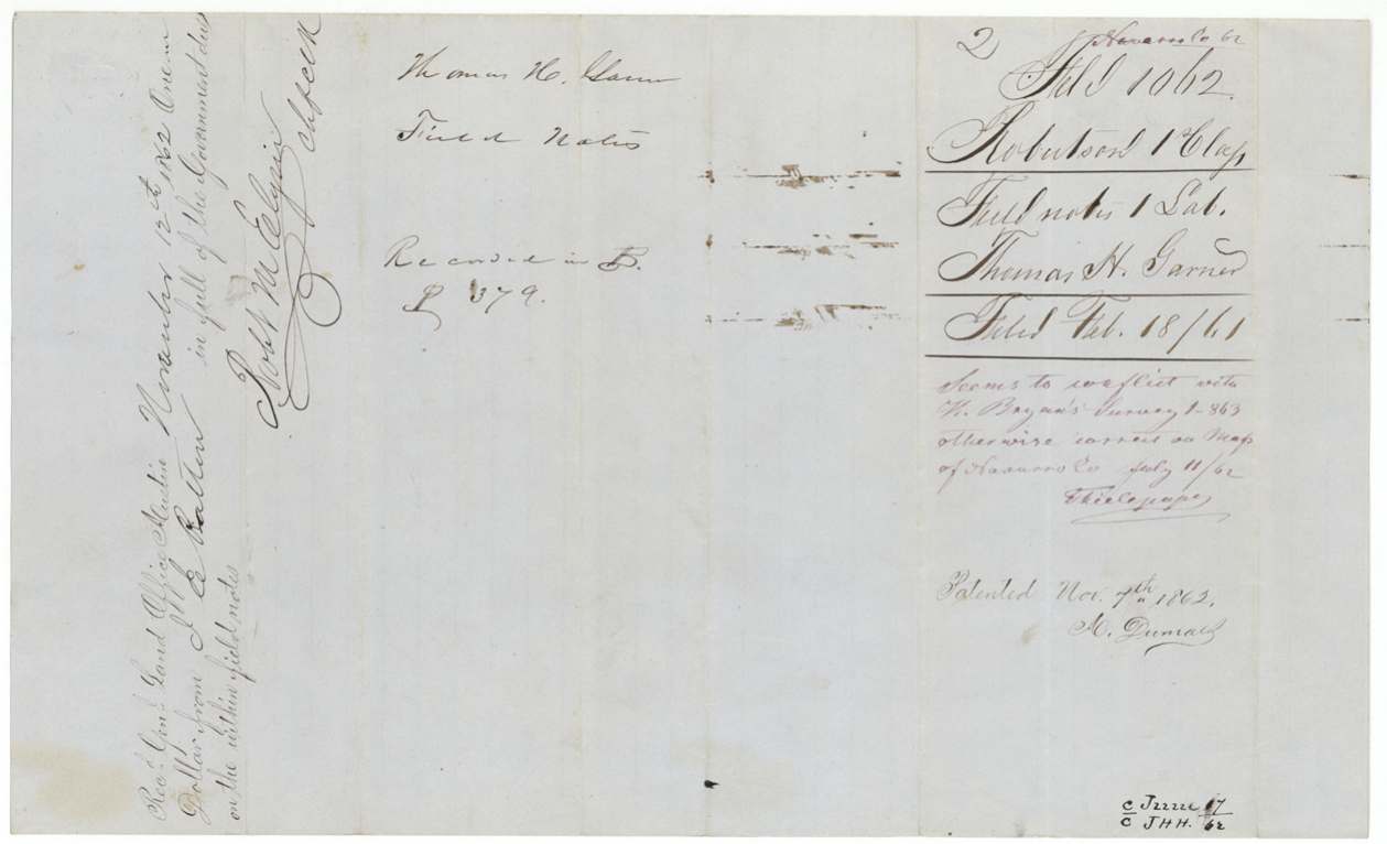
1862-11-07 (outer wrapper 'Nov 8th 1862'), No. 104, Vol. 17, to William Balch, assignee, delivered to forwarded to J. E. Patton, Nov 12 1862.
Also in the file
- The certificate was issued in San Augustine County in deep East Texas in 1838 but not surveyed in Navarro County until 1860 — 22 years later.
- Garner sold the land certificate in 1849 for thirty dollars, and the deed was recorded in Ellis County, not Navarro.
- The GLO map showed the survey overlapping H.(?) Bryan's survey (file 1-863), but cleared it because that conflicting claim had been patented elsewhere on a duplicate certificate.
- The patent was issued in November 1862 during the Civil War, under the Confederate-era Texas Land Office, and sent to the locator J. E. Patton.
- The entry was first filed in August 1859 and refiled in June 1860 as a relocation, suggesting the first location failed.
Timeline
- 1835Thomas H. Garner arrives in Texas (per certificate)
- 23 Mar 1838San Augustine County Board issues one-labor certificate No. 479
- 26 Jun 1849Garner sells land and certificate to William Balch for $30, acknowledged at Corsicana
- 23 Dec 1851Transfer recorded in Ellis County Deed Record A pp. 84-85
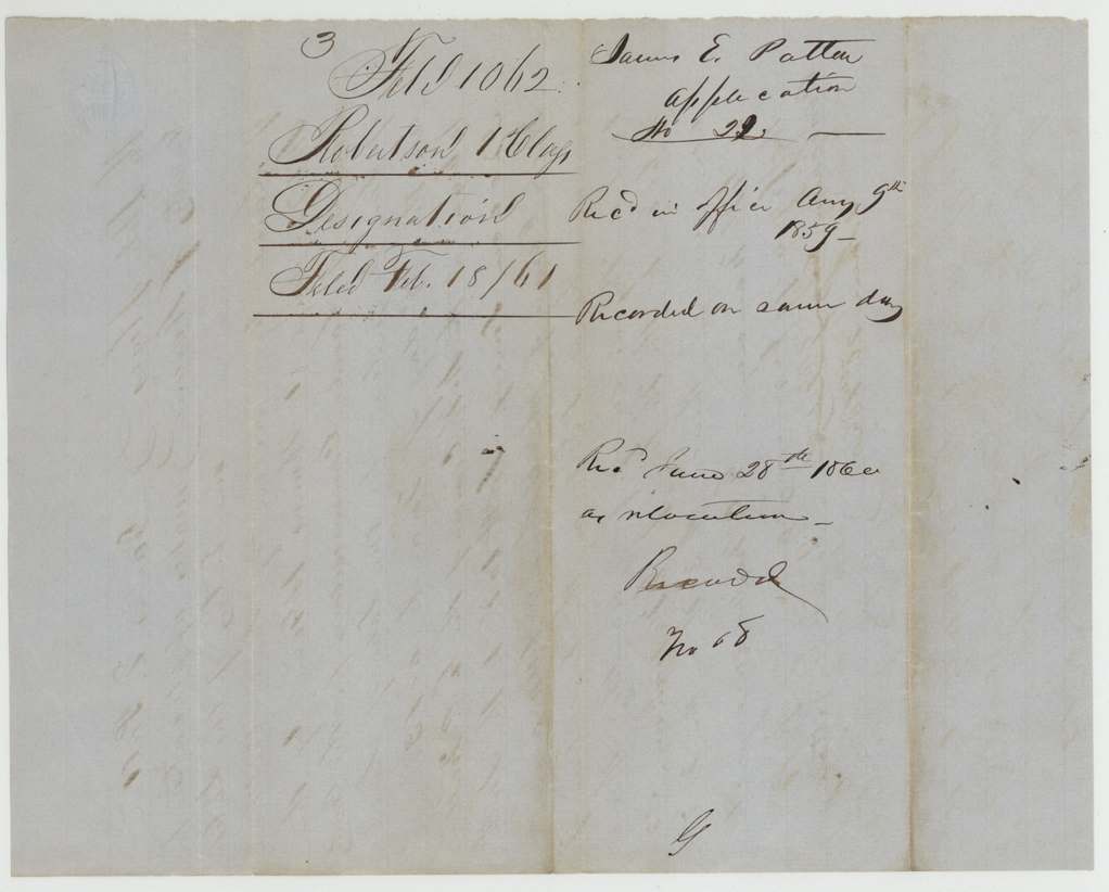
- 9 Aug 1859James E. Patton files entry No. 22 on Mill Creek
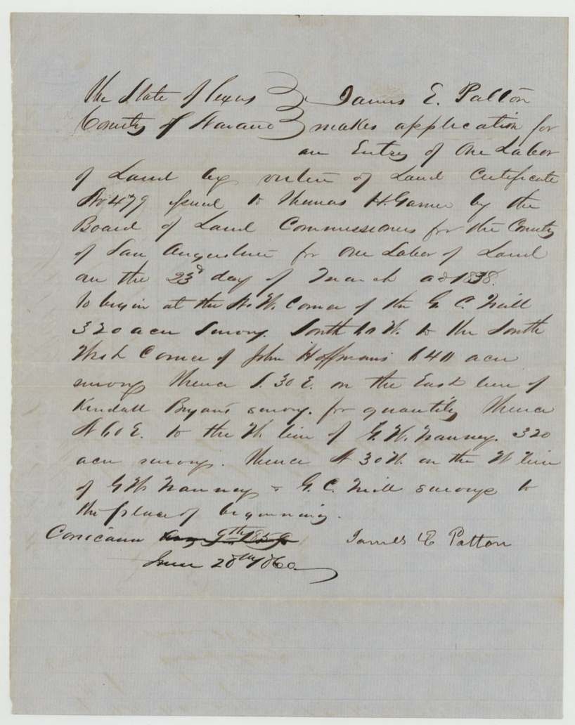
- 28 Jun 1860Entry refiled as a relocation
- 12 Sep 1860J. M. Eliot surveys one labor (Survey No. 68), 16½ miles W of Corsicana
- 29 Sep 1860Field notes recorded, Book B p. 379
- 18 Feb 1861Papers filed in GLO
- 11 Jul 1862Map check notes conflict with Bryan survey (Thielepape)
- 7 Nov 1862Patent No. 104 Vol. 17 to William Balch, assignee
- 12 Nov 1862Dues of $1 paid by J. E. Patton; patent forwarded to him
The papers in the file
Every page of the Land Office file, in the order the Land Office keeps them (10 pages). Tap a page to see it larger.
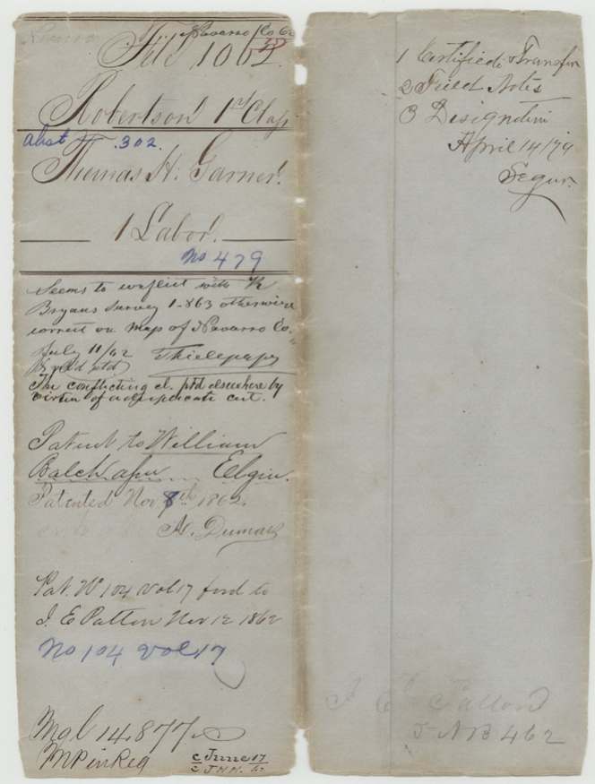
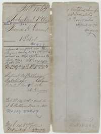 File jacketFile jacket for Thomas H. Garner's one-labor headright, certificate No. 479, patented to William Balch on 7 November 1862.General Land Office, file 1062, page 1 · in the scan
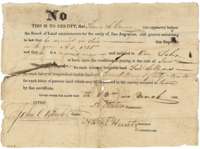 CertificateSan Augustine County land board certificate No. 479 of 23 March 1838 entitling Thomas H. Garner, a married man who arrived in 1835, to one labor.General Land Office, file 1062, page 2 · in the scan
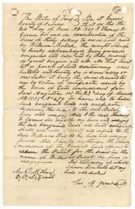 TransferDeed of 26 June 1849 in which Thomas H. Garner sold his labor and certificate No. 479 to William Balch for $30.General Land Office, file 1062, page 3 · in the scan
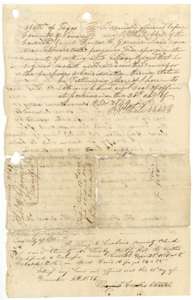 AffidavitAcknowledgment of the Garner deed before Navarro County clerk R. H. White, with the Ellis County clerk's certificate of recording in December 1851.General Land Office, file 1062, page 4 · in the scan
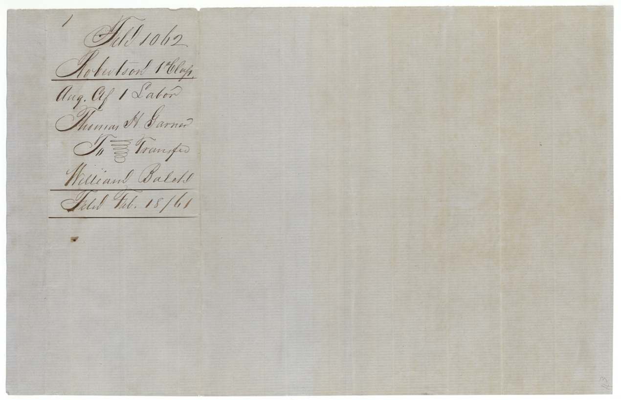
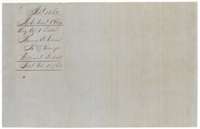 WrapperWrapper for the Garner certificate and transfer to William Balch, filed at the Land Office on 18 February 1861.General Land Office, file 1062, page 5 · in the scan
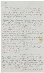 Field notesField notes of Survey No. 68, one labor for Thomas H. Garner on Mill Creek, made by Navarro County surveyor J. M. Eliot on 12 September 1860.General Land Office, file 1062, page 6 · in the scan
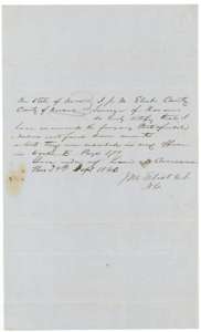 Surveyor's certificateCounty surveyor J. M. Eliot's certificate of 27 September 1860 that the field notes are correct and recorded in Book B, page 379.General Land Office, file 1062, page 7 · in the scan
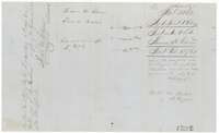 WrapperWrapper for the field notes of Garner's one labor, with Land Office map notes and the patent delivery note of November 1862.General Land Office, file 1062, page 8 · in the scan
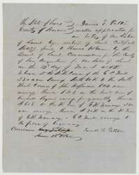 Other papersApplication No. 22 by James E. Patton at Corsicana to locate one labor on Thomas H. Garner's certificate No. 479, dated 28 June 1860.General Land Office, file 1062, page 9 · in the scan
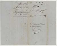 WrapperWrapper for the Patton application, received at the surveyor's office 9 August 1859 and recorded as Survey No. 68.General Land Office, file 1062, page 10 · in the scan
Scans courtesy of the Texas General Land Office, Austin, from its Land Grant Database.
Neighbouring surveys
Sources
- Texas General Land Office, Land Grant Database: Navarro County, Abstract 302
- The Land Office file, scanned (PDF, at the General Land Office)
- 1924 map: courtesy of the Texas General Land Office, Austin, Map 73249, used under licence. Topo: U.S. Geological Survey, The National Map. Aerial photographs: U.S. Department of Agriculture, National Agriculture Imagery Program, 2012, 2018 and 2022. Survey outlines: Railroad Commission of Texas, Original Texas Land Survey. Grant records and files: Texas General Land Office.