Blackland TX · ← All the original surveys
Charles W. Nanny Survey, Abstract 615
- Granted to
- Charles W. Nanny
- Kind of grant
- Headright, third classLand for later settlers, including the colonists of Mercer’s Colony.
- Land Office file
- Robertson 3rd class, file 298
- Acres
- 320
- Patented to
- Charles W. Nanny
- Patent
- 08 Apr 1851 · No. 608, Vol. 6
Tap a survey to open its page.
What the file shows
Charles W. Nanny received a conditional 320-acre headright from the Robertson County Board of Land Commissioners at Franklin in September 1839, under the January 1839 act for late emigrants. In October 1842 he proved three years' citizenship as a single man and received unconditional certificate No. 68. Deputy surveyor David R. Mitchell located it in April 1846 on a south branch of Chambers Creek, about 11 miles west of Corsicana, at the corner of H. W. Mathews's survey. It was patented to Nanny on April 8, 1851 (No. 608, Vol. 6).
The certificate
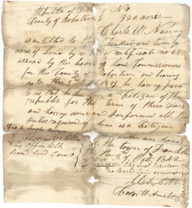
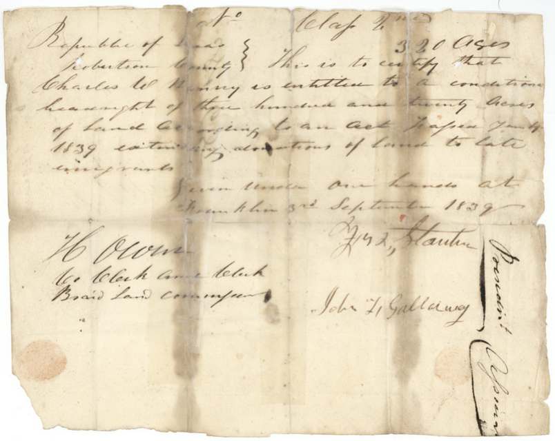
headright 3rd class (conditional certificate, later made unconditional), No. 68 (unconditional); conditional certificate number left blank, docketed 'No. 68', 320 acres, Board of Land Commissioners for Robertson County. Conditional: Fred(?) L. Stanton(?), President, and John L. Galloway, with H. Owen, Co. Clerk and Clerk of the Board. Unconditional: W. H. Tirson(?), Chief Justice of Robertson Co. and ex officio President of the Board, Clark Cobb, and Carr(?) H. Armstrong, Associate Commissioners; H. Owen, Co. Clerk and ex officio Clerk of the Board, Franklin, Robertson County, Conditional 1839-09-03; unconditional 1842-10-03.
Conditional (3 Sept 1839): entitled to a conditional headright of 320 acres 'according to an act passed Jany 1839 extending donations of land to late emigrants'. Unconditional (3 Oct 1842): he proved he had been a citizen of the Republic for three years and done all the duties required of him as a citizen; a single man
The survey
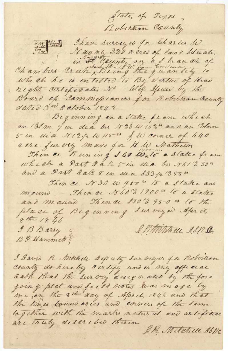
8 Apr 1846, David R. Mitchell, Deputy Surveyor for Robertson County.
Navarro County ('Robertson County' heading; 'Navarro' inserted), on a south branch of Chambers Creek, about 11 miles W from Corsicana (insertion)
Chain carriers: J. B. Barry, B. P. Hammett(?).
Book K(?), page 385
The patent
8 Apr 1851, No. 608, Vol. 6, to Charles W. Nanny, delivered to D. R. Mitchell(?), April 12/51 (faint pencil 'Del'd to D. R. Mitchell').
Also in the file
- The patent is dated April 8, 1851, one day BEFORE the map check that passed it (April 9, 1851) — the clerk's dates may be off, or the check was recorded after the fact.
- The 1846 survey is headed 'Robertson County' with 'Navarro' written in later — Navarro County was created in 1846, the same year.
- The surveyor, David R. Mitchell, later examined his own field notes as District Surveyor (1848), and the patent appears to have been delivered to him.
- A sheet bearing only J. Pinckney Henderson's signature sits in the file with no explanation.
- The conditional certificate is labelled '2nd' class while the file is 3rd class.
Timeline
- 3 Sep 1839Robertson County board issues conditional 320-acre headright to Charles W. Nanny under the January 1839 act for late emigrants
- 3 Oct 1842Board at Franklin issues unconditional certificate No. 68 after three years' citizenship; single man
- 8 Apr 1846D. R. Mitchell surveys 320 acres on a south branch of Chambers Creek
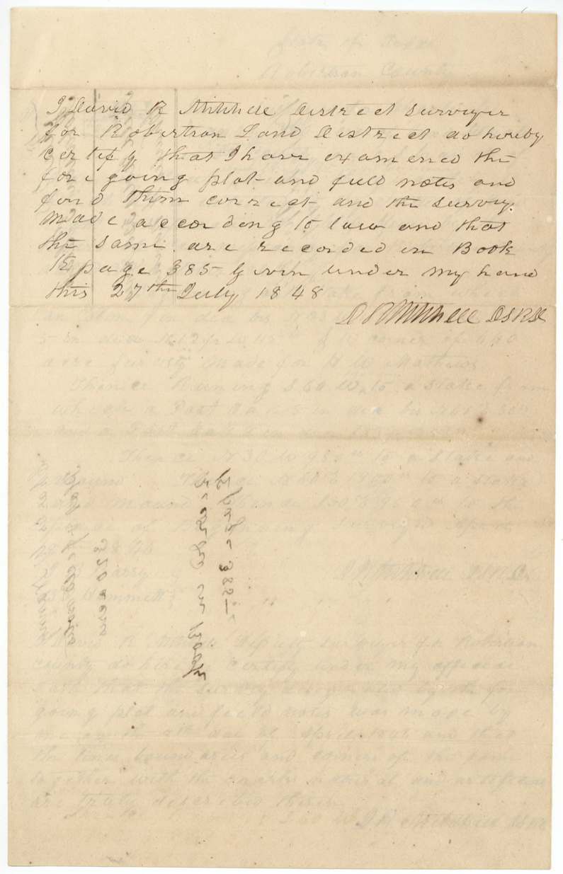
- 27 Jul 1848Field notes examined and recorded, Book K p. 385
- 8 Apr 1851Patent No. 608, Vol. 6 to Charles W. Nanny
- 9 Apr 1851Map check by Creuzbaur
- 12 Apr 1851Patent delivered, apparently to D. R. Mitchell
The papers in the file
Every page of the Land Office file, in the order the Land Office keeps them (9 pages). Tap a page to see it larger.
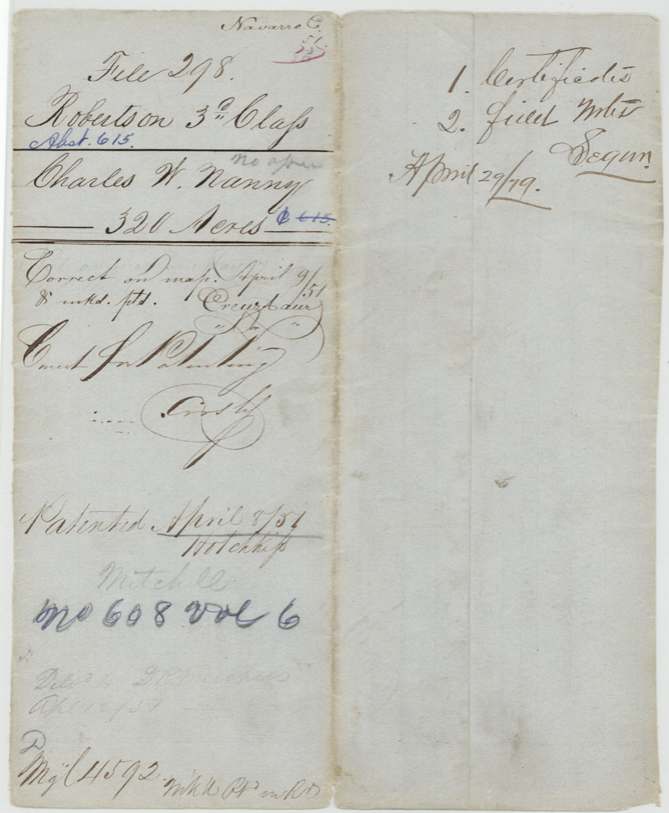
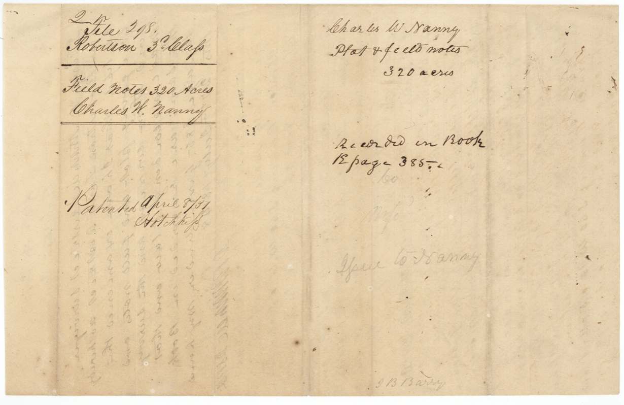
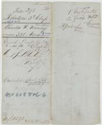 File jacketFile jacket for Charles W. Nanny's 320-acre headright in Navarro County, listing the certificates and field notes; patented 8 April 1851.General Land Office, file 298, page 1 · in the scan
 Other papersA sheet bearing only a signature, with no other writing.General Land Office, file 298, page 2 · in the scan
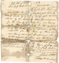 CertificateUnconditional headright certificate No. 68 issued at Franklin on 3 October 1842, entitling Charles W. Nanny to 320 acres of land.General Land Office, file 298, page 3 · in the scan
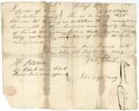 CertificateConditional headright certificate issued at Franklin on 3 September 1839, entitling Charles W. Nanny to 320 acres under the 1839 act for late emigrants.General Land Office, file 298, page 4 · in the scan
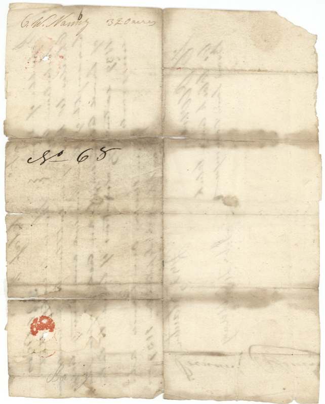
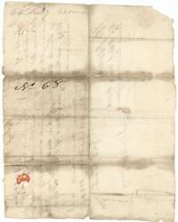 Back of the certificateBack of the conditional certificate, marked No. 68 and C. W. Nanny, 320 acres, with traces of a red wax seal.General Land Office, file 298, page 5 · in the scan
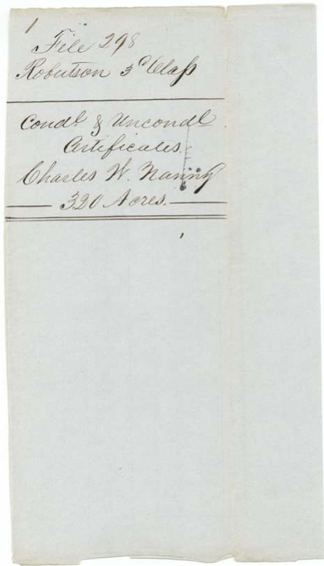
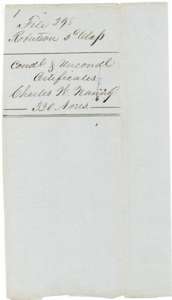 WrapperWrapper for the conditional and unconditional certificates of Charles W. Nanny, 320 acres.General Land Office, file 298, page 6 · in the scan
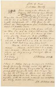 Field notesField notes for 320 acres on a south branch of Chambers Creek, surveyed for Charles W. Nanny by deputy surveyor David R. Mitchell on 8 April 1846.General Land Office, file 298, page 7 · in the scan
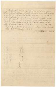 Surveyor's certificateDistrict Surveyor David R. Mitchell's certificate of 27 July 1848 that the plat and field notes are correct and recorded in Book K, page 385.General Land Office, file 298, page 8 · in the scan
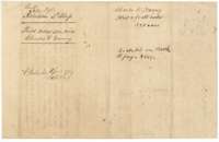 WrapperWrapper for the plat and field notes of Charles W. Nanny, 320 acres, recorded in Book K, page 385 and marked patented April 1851.General Land Office, file 298, page 9 · in the scan
Scans courtesy of the Texas General Land Office, Austin, from its Land Grant Database.
Neighbouring surveys
Sources
- Texas General Land Office, Land Grant Database: Navarro County, Abstract 615
- The Land Office file, scanned (PDF, at the General Land Office)
- 1924 map: courtesy of the Texas General Land Office, Austin, Map 73249, used under licence. Topo: U.S. Geological Survey, The National Map. Aerial photographs: U.S. Department of Agriculture, National Agriculture Imagery Program, 2012, 2018 and 2022. Survey outlines: Railroad Commission of Texas, Original Texas Land Survey. Grant records and files: Texas General Land Office.