Blackland TX · ← All the original surveys
William Clark Survey, Abstract 195
- Granted to
- William Clark
- Kind of grant
- Donation warrantLand given for the battles of 1835–36: Bexar, the Alamo, San Jacinto.
- Land Office file
- Robertson Donation, file 420
- Certificate
- No. 463
- Acres
- 640
- Patented to
- William Clark
- Patent
- 12 Apr 1851 · No. 283, Vol. 1
Tap a survey to open its page.
What the file shows
William Clark received Donation warrant No. 463 for 640 acres at Houston on 12 July 1838 for having fought at San Jacinto on 21 April 1836, signed by Secretary of War George W. Hockley. Deputy surveyor D. R. Mitchell of the Robertson district located it on 9 April 1846 on the south side of Chambers Creek about 14 miles west of Corsicana, adjoining H. W. Mathews' 640-acre survey, and recorded it in Book D p. 57 in 1848. The warrant was approved in April 1851 and the land was patented to Clark himself on 12 April 1851 (No. 283, Vol. 1).
The certificate
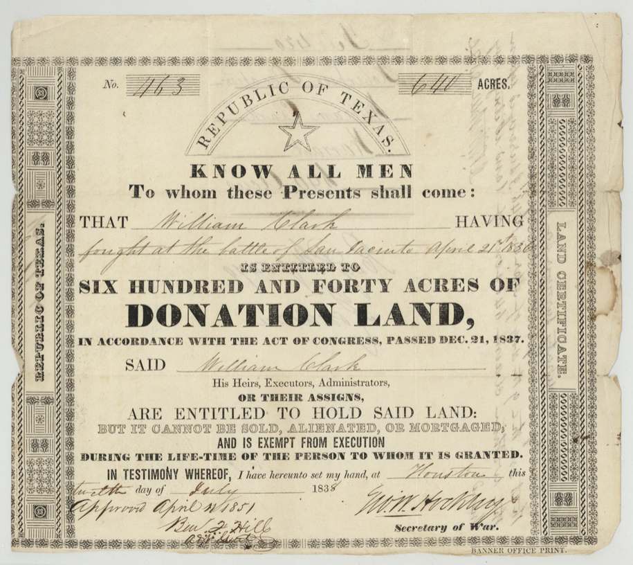
donation, No. 463, 640 acres, Geo. W. Hockley, Secretary of War, Republic of Texas, Houston, 12 July 1838 ('twelfth day of July 1838').
William Clark 'having fought at the battle of San Jacinto April 21st 1836' is entitled to 640 acres of Donation Land under the Act of Congress passed Dec. 21, 1837. Printed form: cannot be sold, alienated or mortgaged and is exempt from execution during the grantee's lifetime.
The survey
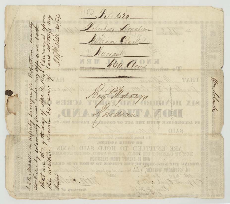
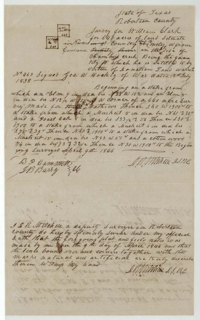
9 April 1846, D. R. Mitchell (David R. Mitchell).
State of Texas, Robertson County [heading]: 640 acres situate in Navarro County (written over 'in sd. County'), about 14 miles (corrected from 20?) W from Corsicana (struck: 'Trinity River') on the S. side of Chambers creek. Beginning on a stake (elm 7 in. bears N 22 W 102 vrs; elm 5 in. bears N 12 1/2 W 115 vrs), S.W. corner of a 640-acre survey made for H. W. Mathews; square of 1900 vrs per side.
Chain carriers: B. P. Hammett, J. B. Barry.
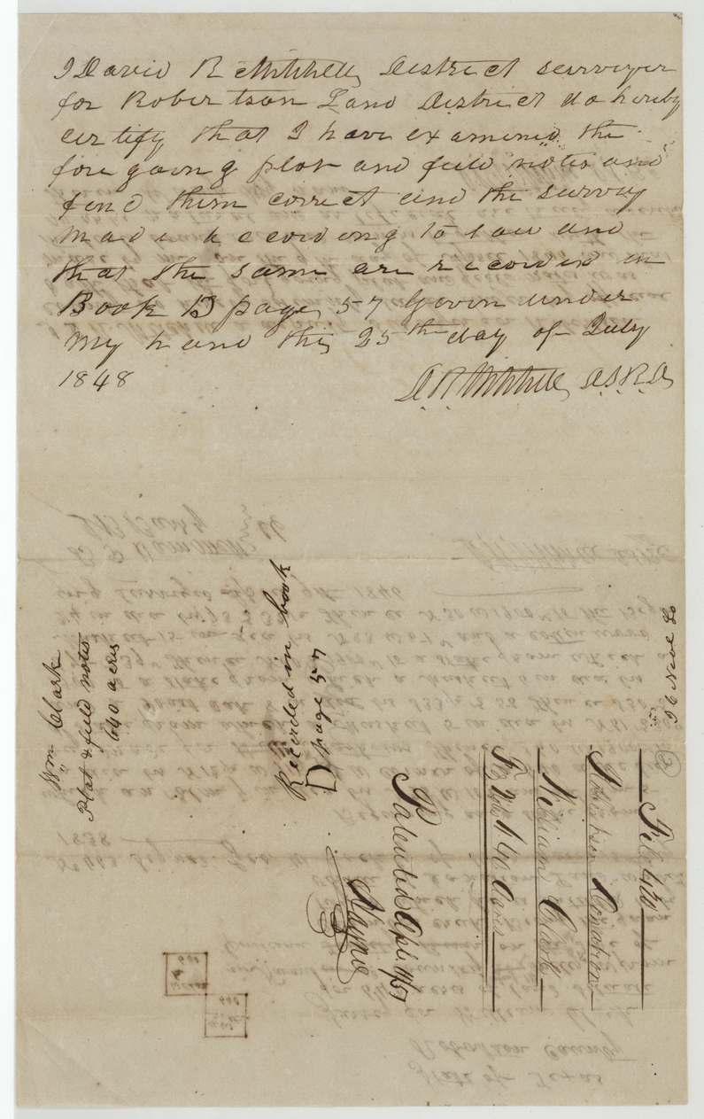
Book D, page 57 (Robertson Land District)
The patent
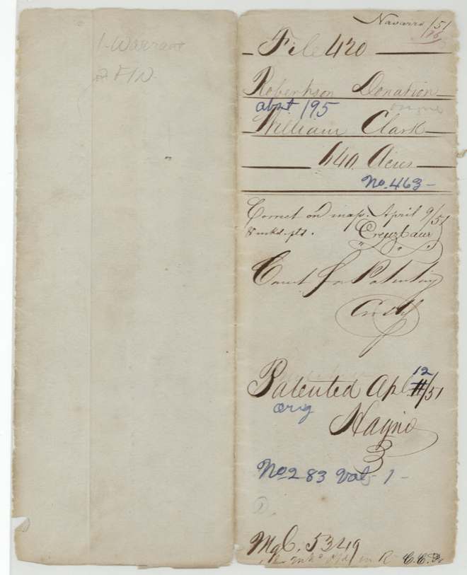
12 April 1851, No. 283, Vol. 1, to William Clark (jacket: 'orig.' grantee).
Also in the file
- Survey was made 9 Apr 1846 under a Robertson County heading; the location was later corrected to read 'in Navarro County' and 'about 14 miles W from Corsicana', with 'Trinity River' struck out.
- Distance from Corsicana corrected (20? to 14).
- Thirteen years between warrant (1838) and patent (1851); the warrant was approved by Ben F. Hill only on 11(?) April 1851, the day before patent.
- No transfer: the San Jacinto veteran himself received the patent, consistent with the warrant's lifetime bar on alienation.
Timeline
- 21 Apr 1836William Clark fights at the battle of San Jacinto (per certificate)
- 12 Jul 1838Donation warrant No. 463 for 640 acres issued at Houston by Sec. of War Geo. W. Hockley
- 9 Apr 1846D. R. Mitchell surveys 640 acres on S side of Chambers Creek, ~14 mi W of Corsicana
- 25 Jul 1848Mitchell, District Surveyor, certifies and records field notes, Book D p. 57
- 9 Apr 1851Creuzbaur finds survey correct on map
- 11 Apr 1851Warrant approved by Ben F. Hill (date reading 11 uncertain)
- 12 Apr 1851Patented, No. 283 Vol. 1
The papers in the file
Every page of the Land Office file, in the order the Land Office keeps them (5 pages). Tap a page to see it larger.
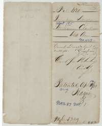 File jacketFile jacket for William Clark's 640-acre Robertson Donation claim, marked patented 12 April 1851.General Land Office, file 420, page 1 · in the scan
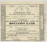 CertificateDonation land certificate No. 463 issued at Houston on 12 July 1838 to William Clark for 640 acres, for fighting at San Jacinto.General Land Office, file 420, page 2 · in the scan
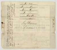 Back of the certificateBack of the certificate, with the file docket and deputy surveyor D. R. Mitchell's oath that he surveyed the land on 9 April 1846.General Land Office, file 420, page 3 · in the scan
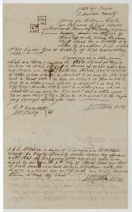 Field notesField notes and plat for William Clark's 640 acres on Chambers Creek, surveyed by D. R. Mitchell on 9 April 1846.General Land Office, file 420, page 4 · in the scan
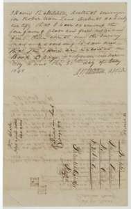 Surveyor's certificateDistrict surveyor David R. Mitchell's certificate of 25 July 1848 that the field notes are correct and recorded in Book D, page 57.General Land Office, file 420, page 5 · in the scan
Scans courtesy of the Texas General Land Office, Austin, from its Land Grant Database.
Neighbouring surveys
Sources
- Texas General Land Office, Land Grant Database: Navarro County, Abstract 195
- The Land Office file, scanned (PDF, at the General Land Office)
- 1924 map: courtesy of the Texas General Land Office, Austin, Map 73249, used under licence. Topo: U.S. Geological Survey, The National Map. Aerial photographs: U.S. Department of Agriculture, National Agriculture Imagery Program, 2012, 2018 and 2022. Survey outlines: Railroad Commission of Texas, Original Texas Land Survey. Grant records and files: Texas General Land Office.