Blackland TX · ← All the original surveys
James R. Meador Survey, Abstract 568
- Granted to
- James R. Meador
- Kind of grant
- Headright, third classLand for later settlers, including the colonists of Mercer’s Colony.
- Land Office file
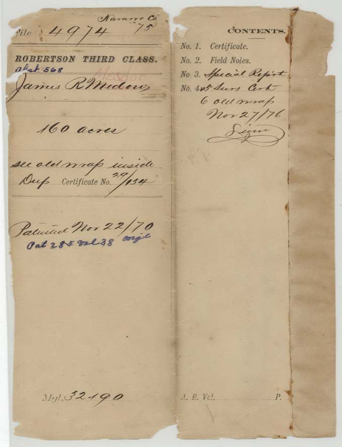
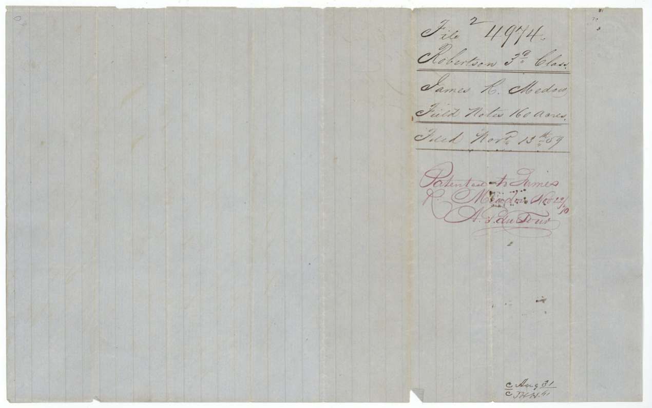
- Robertson 3rd class, file 4974
- Certificate
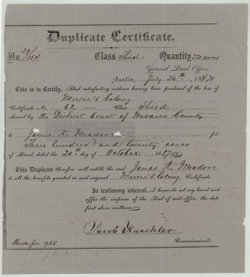
- No. 29/154
- Acres
- 160
- Patented to
- James R. Meador
- Patent
- 22 Nov 1870 · No. 285, Vol. 38
Tap a survey to open its page.
What the file shows
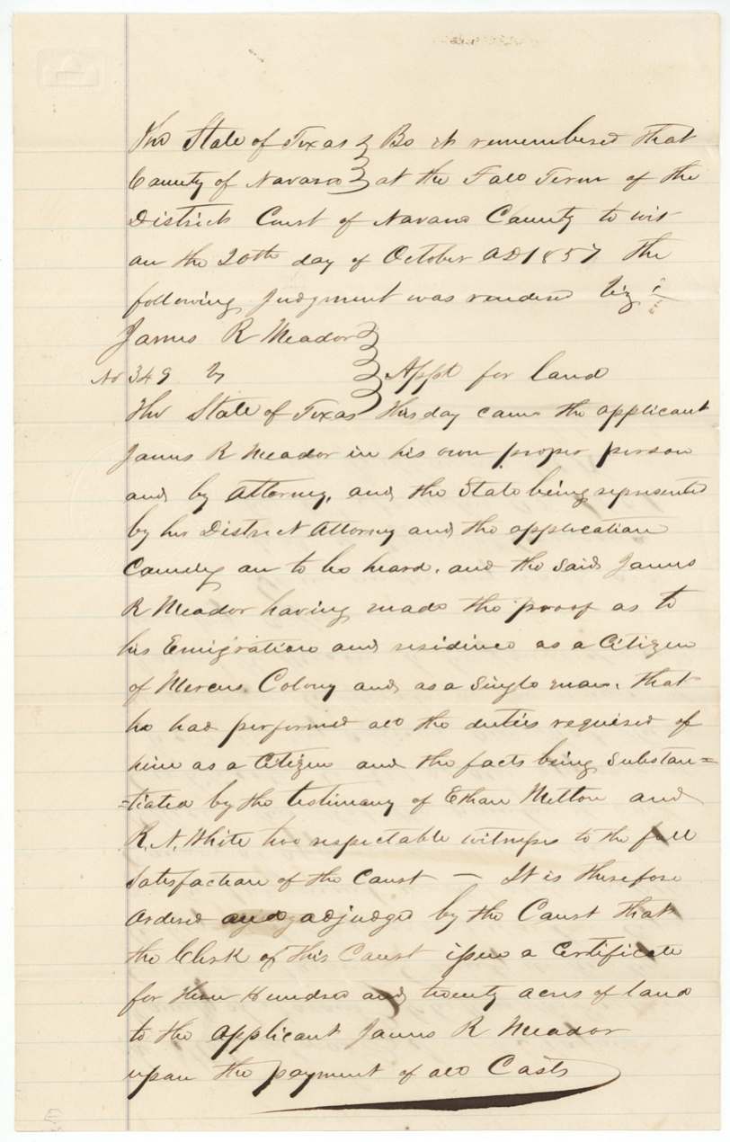
James R. Meador proved in the Navarro County District Court, Fall Term 1857, that he had emigrated to and lived in Mercer's Colony as a single man, with Ethan Melton and R. A. White as witnesses, and the court ordered a 320-acre colony certificate (No. 62) issued to him on 20 October 1857. Half of it was put onto a 160-acre preemption survey that Deputy Surveyor A. H. C. Gordon had run in March 1857 for W. H. Hines, north-west of Corsicana next to Wm. Clark (first described as measured from the town of Dresden). The original certificate was lost, so in July 1870 the Land Office issued a duplicate, which the county surveyor applied to the old field notes, and the land was patented to James R. Meador on 22 November 1870.
The certificate
other (Mercer's Colony certificate, 3rd class, issued by court judgment; later replaced by a GLO duplicate), No. 62 (original); duplicate No. 29/154, 320 acres, District Court of Navarro County (Fall Term), on judgment in cause No. 349, James R. Meador v. The State of Texas, 'Application for land'; duplicate issued by Jacob Kuechler, Commissioner of the General Land Office, Corsicana, Navarro County; duplicate at Austin, 1857-10-20 (judgment; the county surveyor gives 21 Oct 1857); duplicate 1870-07-26.
Meador appeared in person and by attorney, the State represented by the District Attorney, and proved his emigration and residence as a citizen of Mercer's Colony as a single man and that he had performed all the duties required of him as a citizen; the facts were substantiated by the testimony of Ethan Melton and R. A. White (?), 'two respectable witnesses'. The court ordered the clerk to issue a certificate for 320 acres on payment of all costs.
Changes of hand
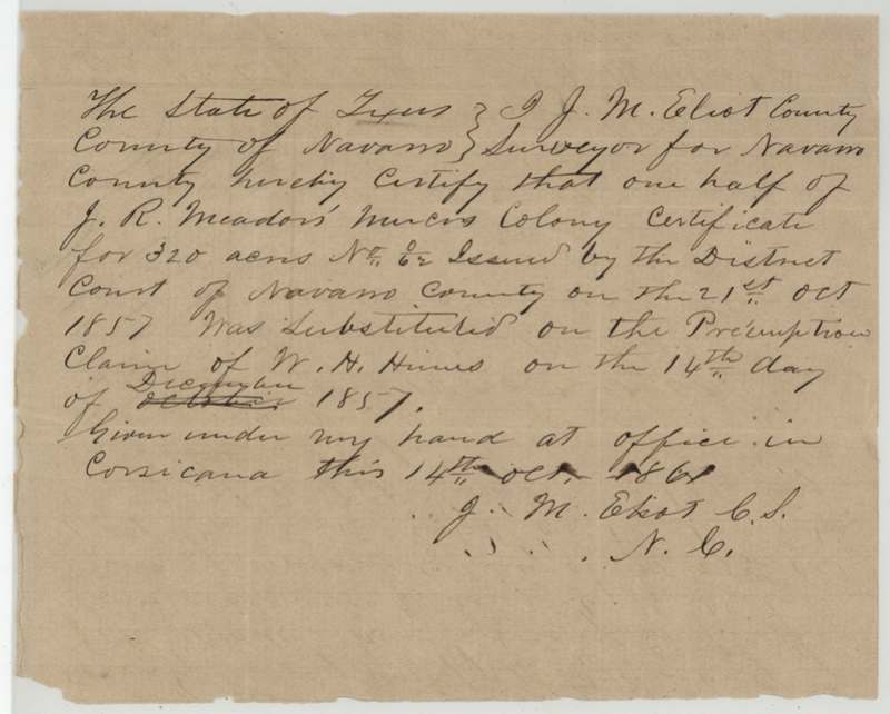
- 14 Dec 1857James R. Meador (certificate) → W. H. Hines (use of one half of the certificate), Navarro County. One half of the certificate (160 acres) was 'substituted' on W. H. Hines's preemption claim. No sale price or deed appears; the file treats it as Hines applying the certificate to his own surveyed claim.
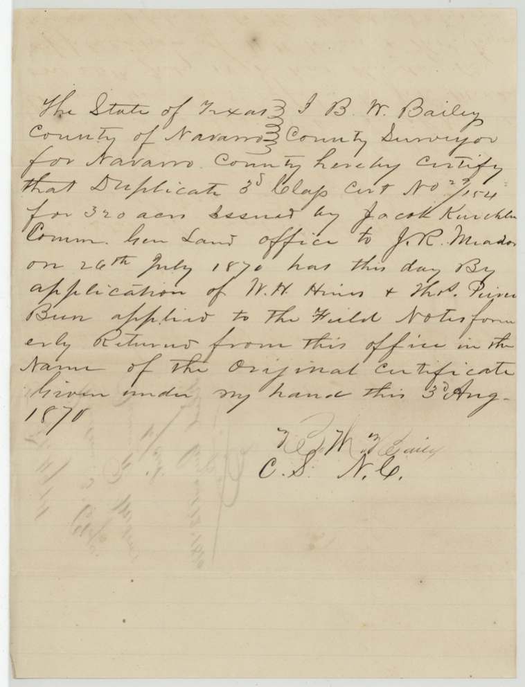
- 3 Aug 1870Duplicate certificate No. 29/154 → applied to the earlier field notes on application of W. H. Hines and Thos. Pierce (?), Navarro County. Bailey certifies the duplicate was applied to the field notes formerly returned in the name of the original certificate.
The survey
1857-03-17 (certified 19 March 1857), Absey (?) H. C. Gordon, Deputy Surveyor, Robertson District.
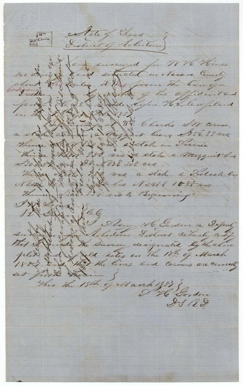
Navarro County, about 16 1/2 miles N West from the town of Corsicana (red correction; the original text read 'from the town of Dresden'); begins at Wm. Clark's SW corner, a stake from which a mesquite bears S 56 E 39 vrs; open prairie with mesquite and a post oak as bearing trees
Chain carriers: J. W. Sones (?), R. Green (?).
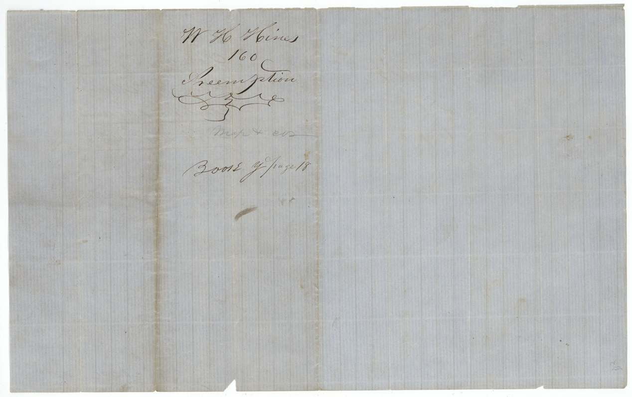
Book Y, page 18, 24 Apr (?) 1857
The patent
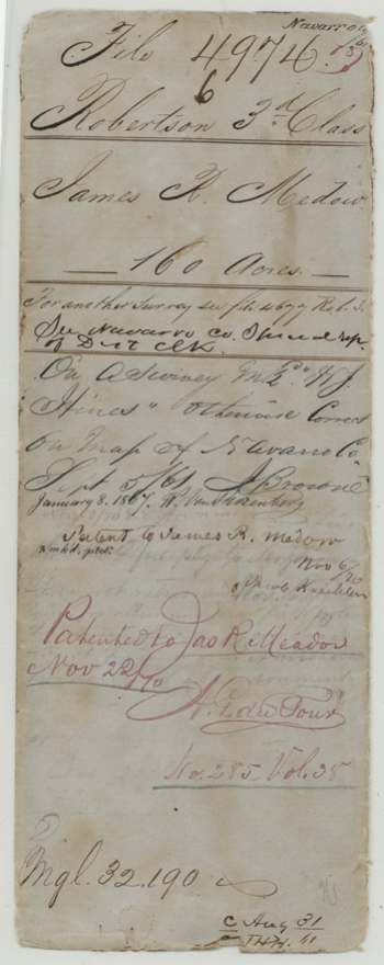
22 Nov 1870, No. 285, Vol. 35 (old wrap) / Vol. 38 (jacket), to James R. Meador.
Also in the file
- The land was first surveyed in 1857 as W. H. Hines's 160-acre preemption homestead, but it was patented in 1870 to James R. Meador, whose colony certificate was put onto Hines's survey.
- The surveyor first located the tract by distance from 'the town of Dresden'; the Land Office crossed that out in red and substituted Corsicana.
- Meador's original certificate was lost; it took until 1870 and a duplicate from the Land Office to finish the patent - thirteen years after the court granted it and across the Civil War.
- Ethan Melton was one of the two witnesses who swore to Meador's residence in Mercer's Colony.
- The judgment date is 20 October 1857 in the court copy and 21 October 1857 in the county surveyor's note.
Timeline
- 9 Feb 1857W. H. Hines makes preemption affidavit No. 28 (date uncertain)
- 17 Mar 1857Deputy Surveyor A. H. C. Gordon surveys 160 acres for Hines next to Wm. Clark, NW of Corsicana (first written as from Dresden)
- Apr 1857District Surveyor Thos. J. Oliver records the field notes, Book Y p. 18
- 20 Oct 1857Navarro County District Court grants James R. Meador a Mercer's Colony certificate for 320 acres as a single man; Ethan Melton and R. A. White testify
- 14 Dec 1857Half of Meador's certificate No. 62 substituted on Hines's preemption survey
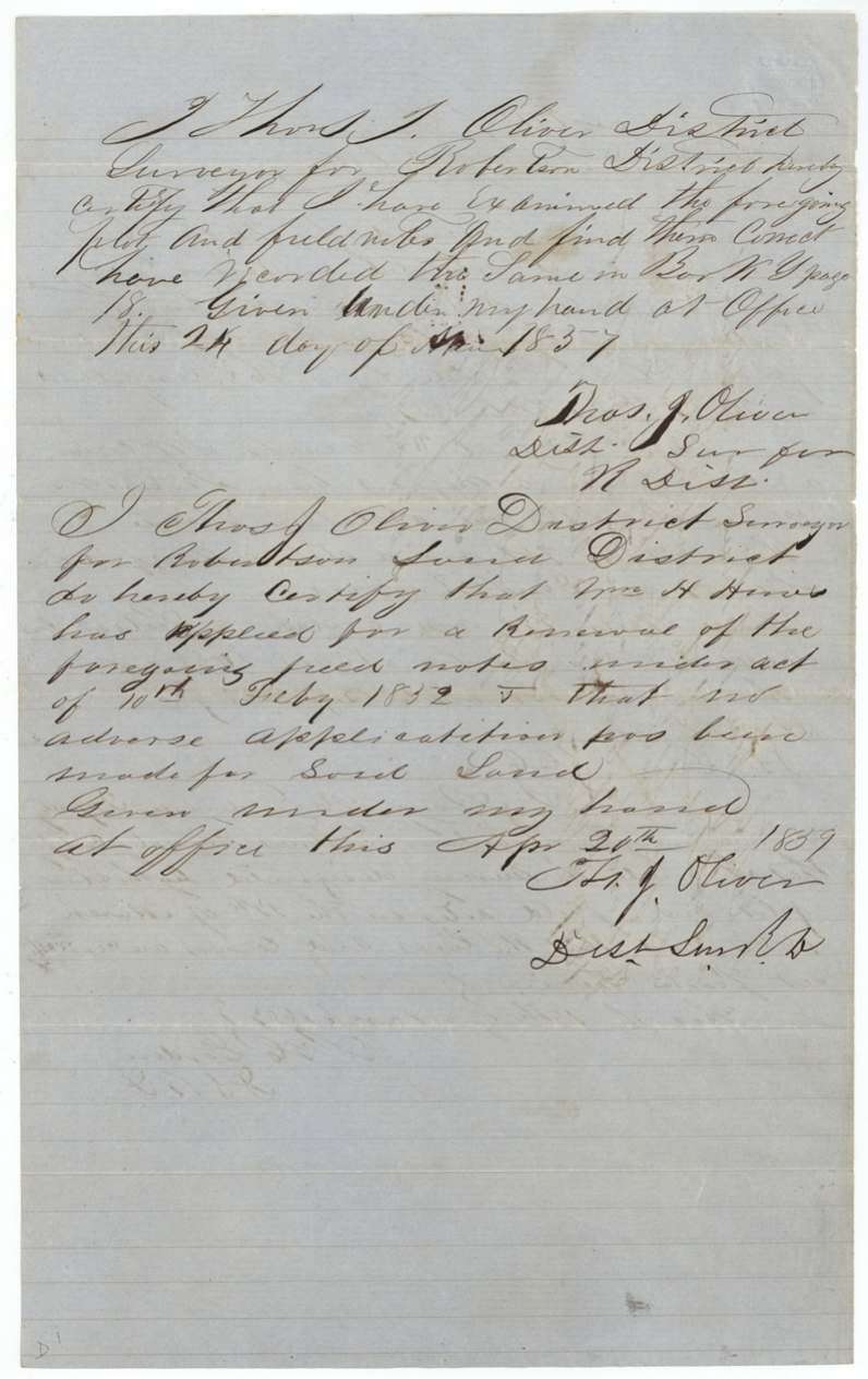
- 20 Apr 1859Oliver certifies Hines applied to renew the field notes under the act of 10 Feb 1852; no adverse claim
- 13 Nov 1859Field notes filed in the General Land Office
- 5 Sep 1861Checked on the Navarro County map: correct, but on a survey made for W. H. Hines
- 14 Oct 1861County Surveyor J. M. Eliot certifies the substitution
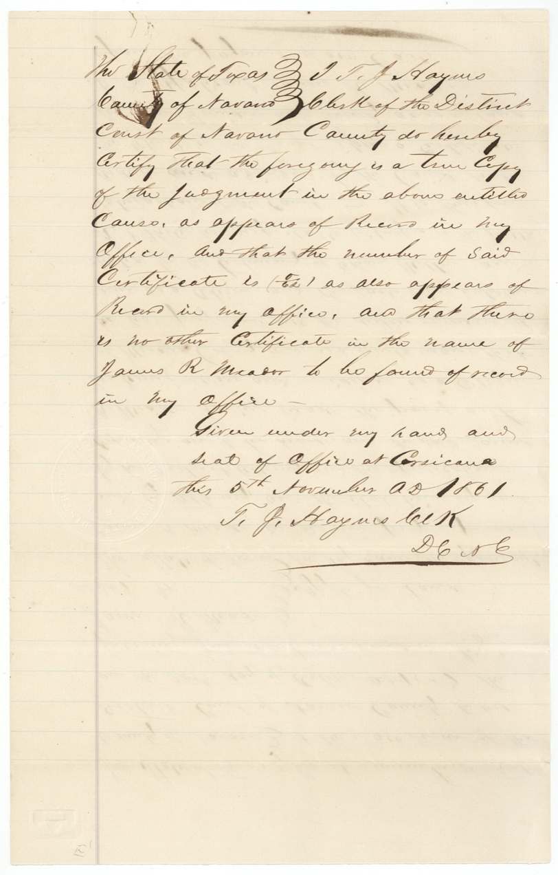
- 5 Nov 1861District Clerk T. J. Haynes certifies the court judgment and certificate No. 62
- 26 Jul 1870GLO issues duplicate certificate No. 29/154 for the lost original
- 3 Aug 1870County Surveyor J. B. W. Bailey applies the duplicate to the old field notes at the request of Hines and Thos. Pierce (?)
- 22 Nov 1870Patented to James R. Meador, No. 285
The papers in the file
Every page of the Land Office file, in the order the Land Office keeps them (15 pages). Tap a page to see it larger.
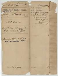 File jacketFile jacket for the Robertson Third Class file of James R. Meador, 160 acres, listing the certificate, field notes, special report and old wrap; patented 22 November 1870.General Land Office, file 4974, page 1 · in the scan
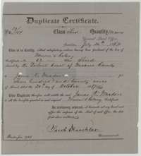 CertificateDuplicate Mercer's Colony certificate No. 29/154 for 320 acres to James R. Meador, issued at Austin on 26 July 1870 by Commissioner Jacob Kuechler to replace a lost original.General Land Office, file 4974, page 2 · in the scan
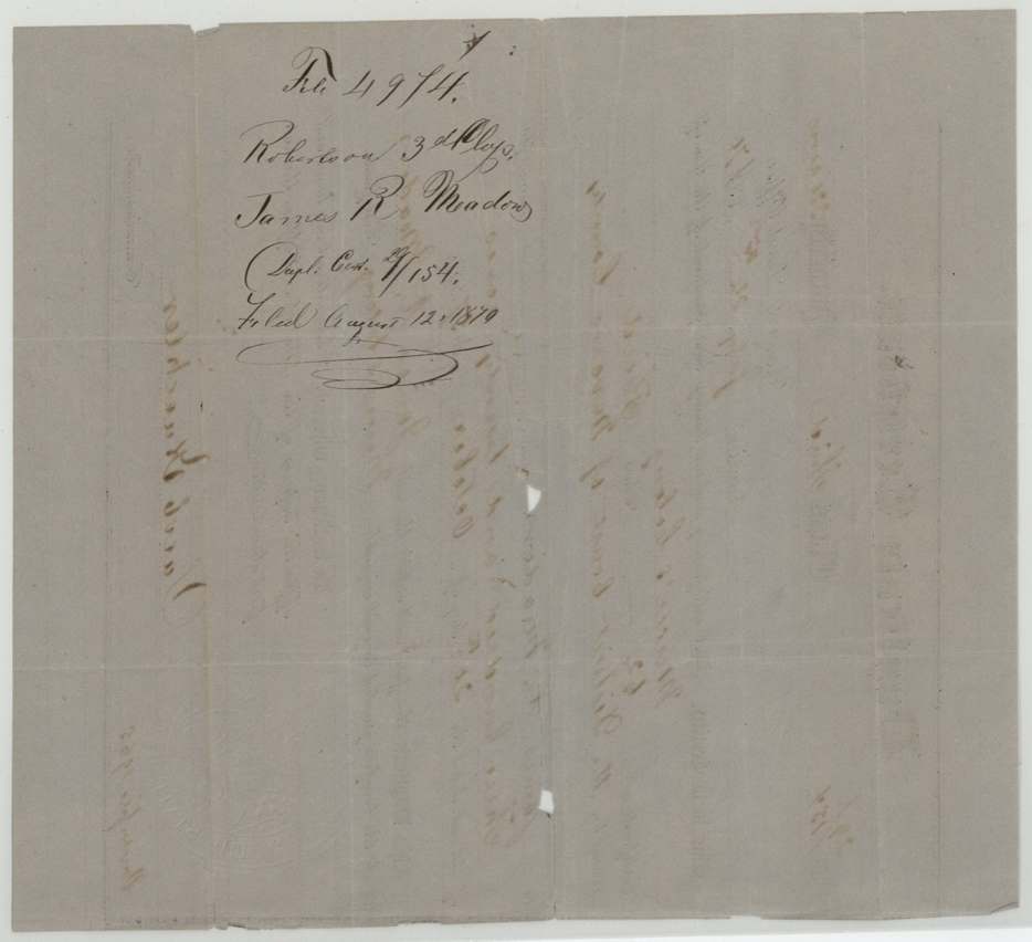
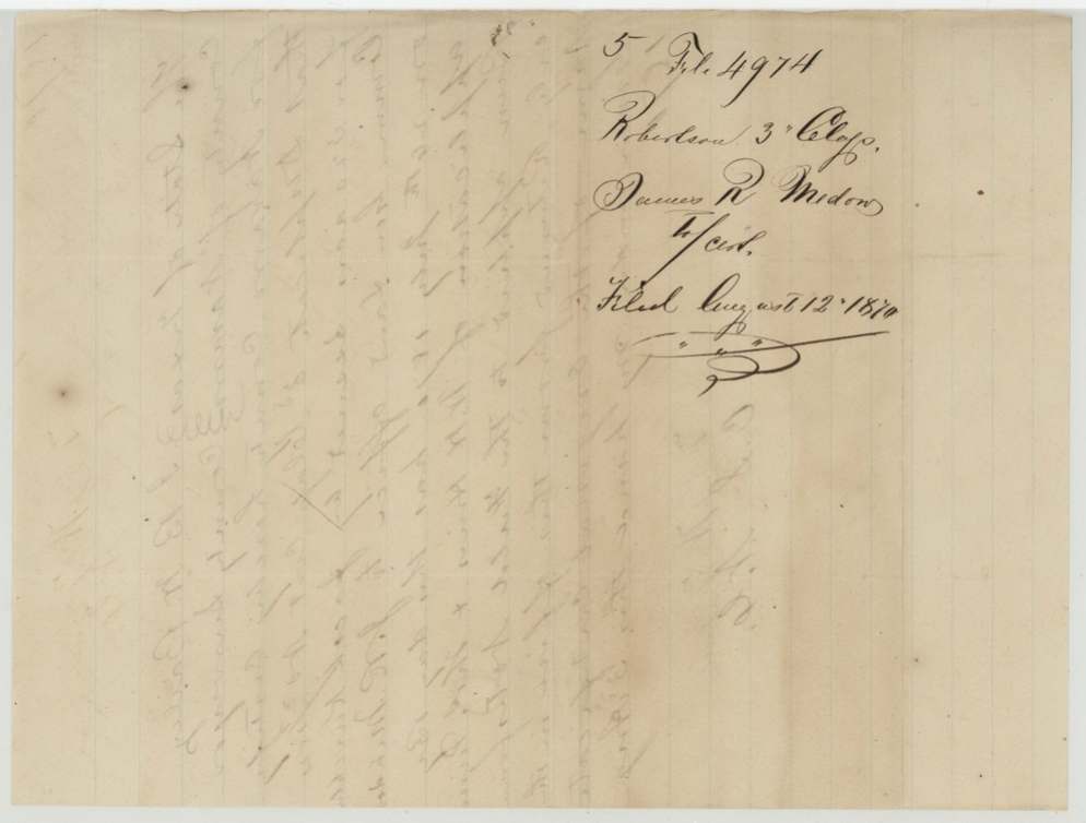
 File jacketBack of the duplicate certificate, marked as filed in the General Land Office on 12 August 1870.General Land Office, file 4974, page 3 · in the scan
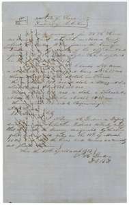 Field notesField notes for 160 acres northwest of Corsicana, surveyed for W. H. Hines by deputy surveyor H. C. Gordon on 17 March 1857, with later notes written across the page.General Land Office, file 4974, page 4 · in the scan
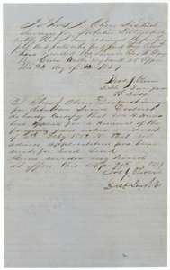 Surveyor's certificateCertificates of District Surveyor Thomas J. Oliver on the Hines field notes, including that no adverse application was made against their renewal, 20 April 1859.General Land Office, file 4974, page 5 · in the scan
 WrapperWrapper for the W. H. Hines 160-acre preemption field notes, recorded in Book Y, page 18.General Land Office, file 4974, page 6 · in the scan
 File jacketJacket for the field notes of James R. Meador, Robertson Third Class, filed in the General Land Office on 13 November 1859.General Land Office, file 4974, page 7 · in the scan
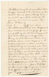 TestimonyNavarro County District Court judgment of 20 October 1857 granting James R. Meador a Mercer's Colony certificate for 320 acres, on the testimony of Ethan Melton and a second witness.General Land Office, file 4974, page 8 · in the scan
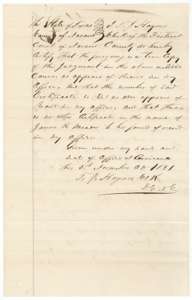 CertificateCertificate of district clerk T. J. Haynes, Corsicana, 5 November 1861, that the court judgment is a true copy and that no other certificate stands in Meador's name.General Land Office, file 4974, page 9 · in the scan
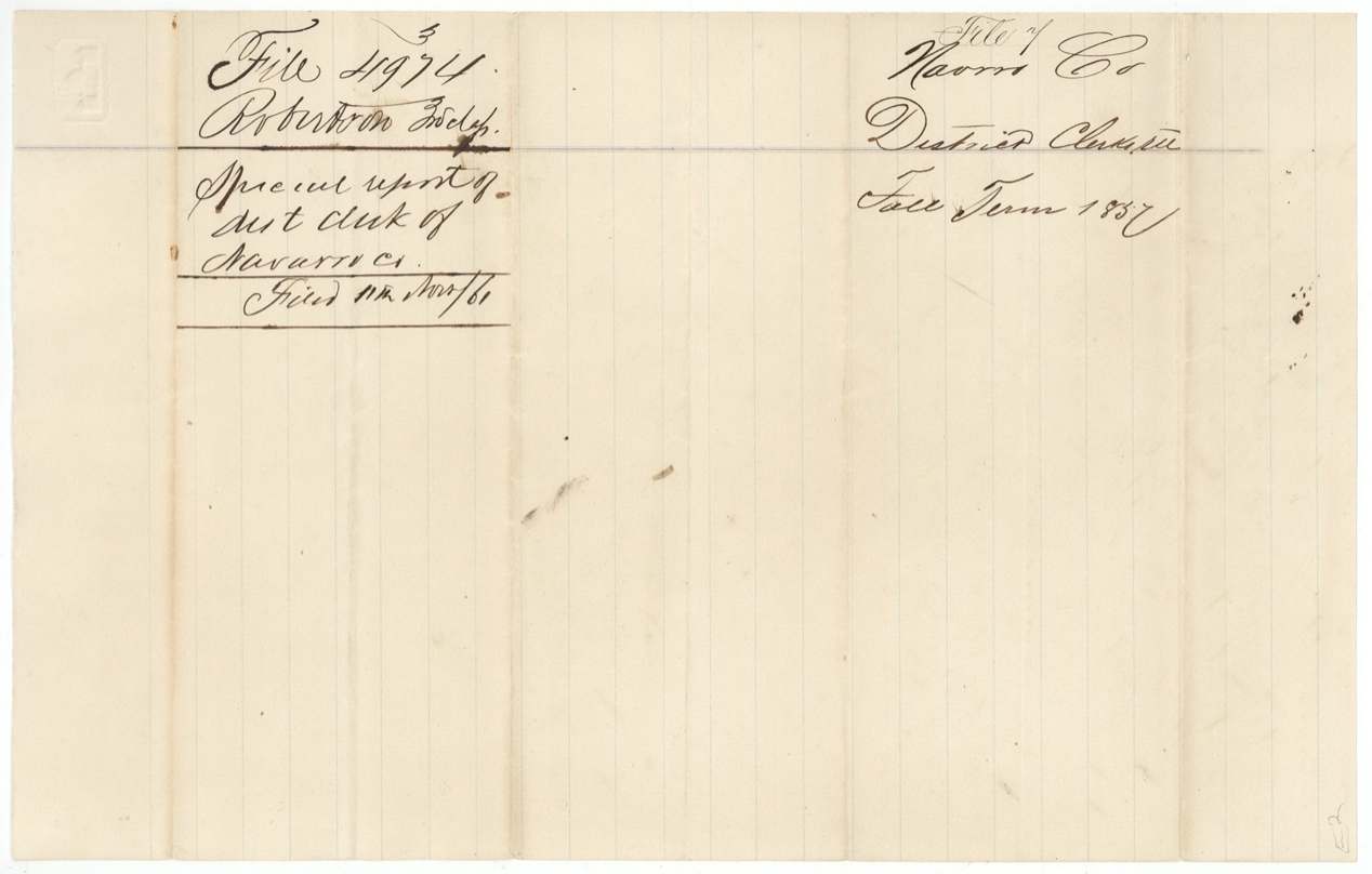
 WrapperWrapper for the special report of the Navarro County district clerk on the Meador certificate, filed 11 November 1861.General Land Office, file 4974, page 10 · in the scan
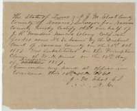 Surveyor's certificateCertificate of County Surveyor J. M. Eliot, Corsicana, 14 October 1861, that half of Meador's 320-acre certificate was placed on W. H. Hines's preemption claim in December 1857.General Land Office, file 4974, page 11 · in the scan
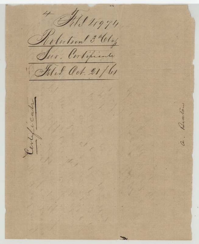
 WrapperWrapper for the county surveyor's certificate in the Meador file, filed 21 October 1861.General Land Office, file 4974, page 12 · in the scan
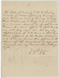 Surveyor's certificateCertificate of County Surveyor J. B. W. Bailey, 3 August 1870, applying the duplicate certificate to the field notes first returned under the original.General Land Office, file 4974, page 13 · in the scan
 WrapperWrapper for the county surveyor's certificate in the Meador file, filed 12 August 1870.General Land Office, file 4974, page 14 · in the scan
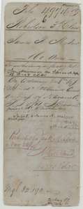 WrapperOld wrapper for the Meador file carrying map-check notes and the entry that the land was patented to James R. Meador on 22 November 1870.General Land Office, file 4974, page 15 · in the scan
Scans courtesy of the Texas General Land Office, Austin, from its Land Grant Database.
Neighbouring surveys
Sources
- Texas General Land Office, Land Grant Database: Navarro County, Abstract 568
- The Land Office file, scanned (PDF, at the General Land Office)
- 1924 map: courtesy of the Texas General Land Office, Austin, Map 73249, used under licence. Topo: U.S. Geological Survey, The National Map. Aerial photographs: U.S. Department of Agriculture, National Agriculture Imagery Program, 2012, 2018 and 2022. Survey outlines: Railroad Commission of Texas, Original Texas Land Survey. Grant records and files: Texas General Land Office.