Blackland TX · ← All the original surveys
W. Wilson Survey, Abstract 866
- Granted to
- W. Wilson
- Kind of grant
- Headright, third classLand for later settlers, including the colonists of Mercer’s Colony.
- Land Office file
- Robertson 3rd class, file 4675
- Acres
- 52
- Patented to
- W. Wilson
- Patent
- 23 May 1861 · No. 195, Vol. 34
Tap a survey to open its page.
What the file shows
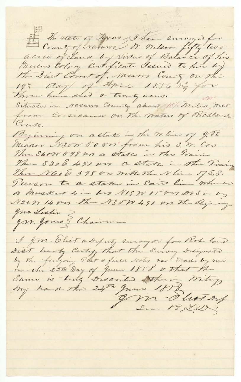
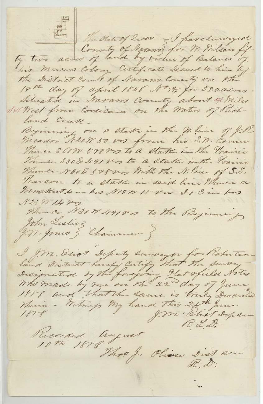
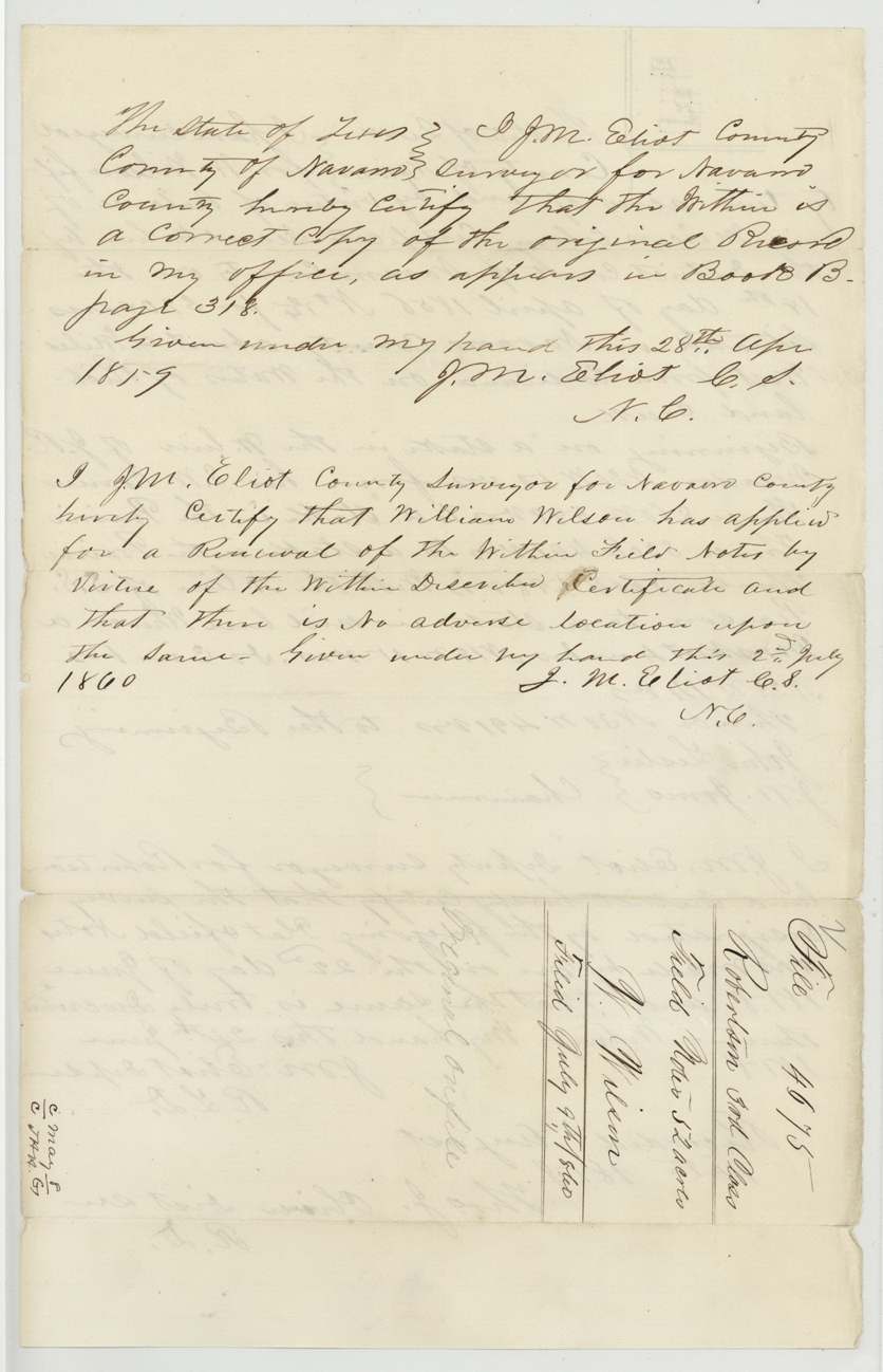
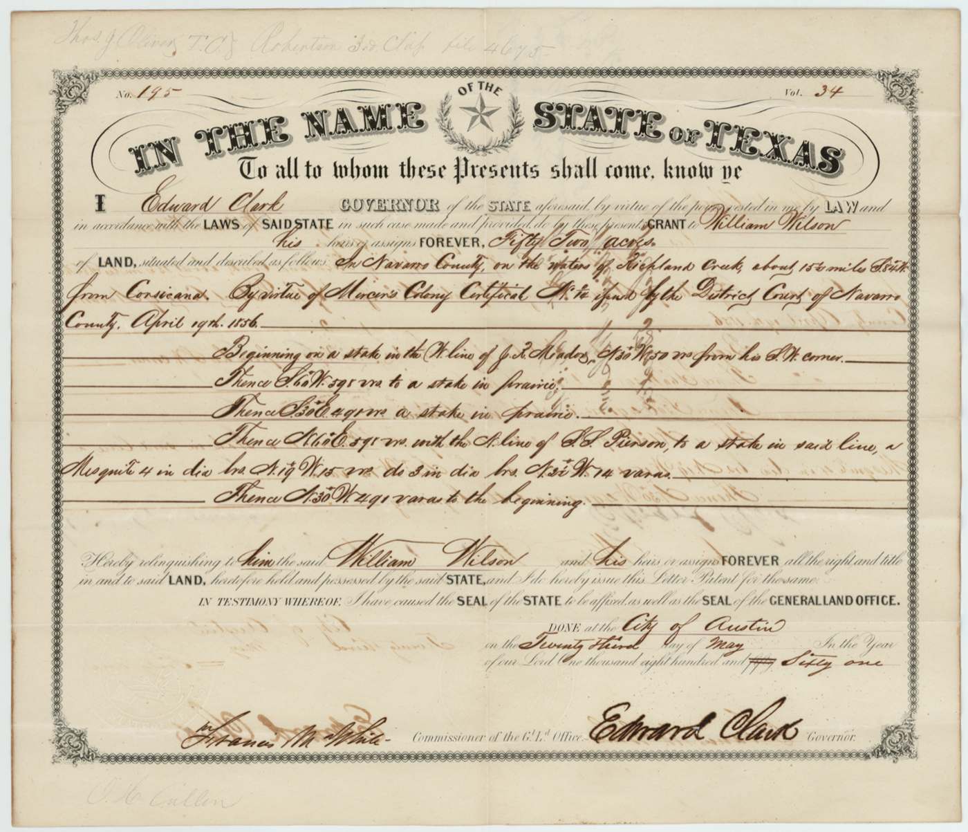
W. (William) Wilson held a 320-acre Mercer's Colony certificate issued by the Navarro County District Court on 19 April 1856, and used its leftover balance here. On 22 June 1858 J. M. Eliot surveyed a 52-acre scrap about 15½ miles west-southwest of Corsicana on the waters of Richland Creek, between the J. R. Meador and S. S. Pierson surveys; it was recorded at Springfield in August 1858, and Wilson had the field notes renewed in July 1860. The patent was signed on 23 May 1861 by Governor Edward Clark, but Wilson never collected it, and the original patent is still in the file.
The certificate
other — Mercer's Colony certificate (balance), No. No. 14(?) (written 'No 1/4'); patent reads 'No. 14', 320 (52 acres used here as the balance), District Court of Navarro County, Navarro County, 19 Apr 1856.
A Mercer's Colony certificate for 320 acres issued by the District Court of Navarro County; this survey uses 'the balance of his Mercer's Colony certificate'. The file does not say when Wilson came to the colony or whether he was married or single.
The survey
1858-06-22 (certified 1858-06-24), J. M. Eliot (Elliott).
Navarro County about 15½ miles west ('S 84° W' in red and on the patent) from Corsicana on the waters of Richland Creek; 52 acres
Chain carriers: Jno. (John) Leslie, J. W. Jones.
Book W, page 188 (district); Navarro County Book B, page 318 (county copy)
The patent
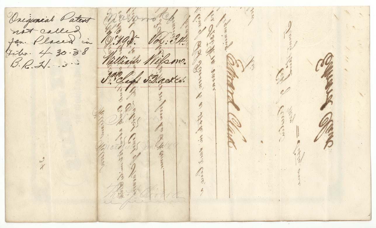
23 May 1861, No. 195, Vol. 34, to William Wilson, his heirs or assigns, delivered to never delivered — the original patent is still in the file, endorsed 'Original patent not called for' and placed in the file in 1938.
Also in the file
- The original patent was never picked up — it sat in the Land Office until 1938, when it was put into this file. William Wilson may never have held his paper title.
- The patent was signed in May 1861, in the first weeks of Texas's secession, by Governor Edward Clark rather than Sam Houston.
- Wilson had to apply in 1860 for a 'renewal' of field notes he had already filed in 1858, with the county surveyor certifying no one else had located on the land in the meantime.
- This is a 52-acre scrap — only the leftover of a 320-acre Mercer's Colony certificate whose main survey is filed elsewhere (Robertson 3rd 4420).
- Mercer's Colony certificates were issued by the district court after the colony contract was disputed, not by a county land board like the older headrights.
Timeline
- 19 Apr 1856District Court of Navarro County issues Mercer's Colony certificate No. 14(?) for 320 acres to W. Wilson
- 22 Jun 1858J. M. Eliot surveys 52 acres on Richland Creek between J. R. Meador and S. S. Pierson
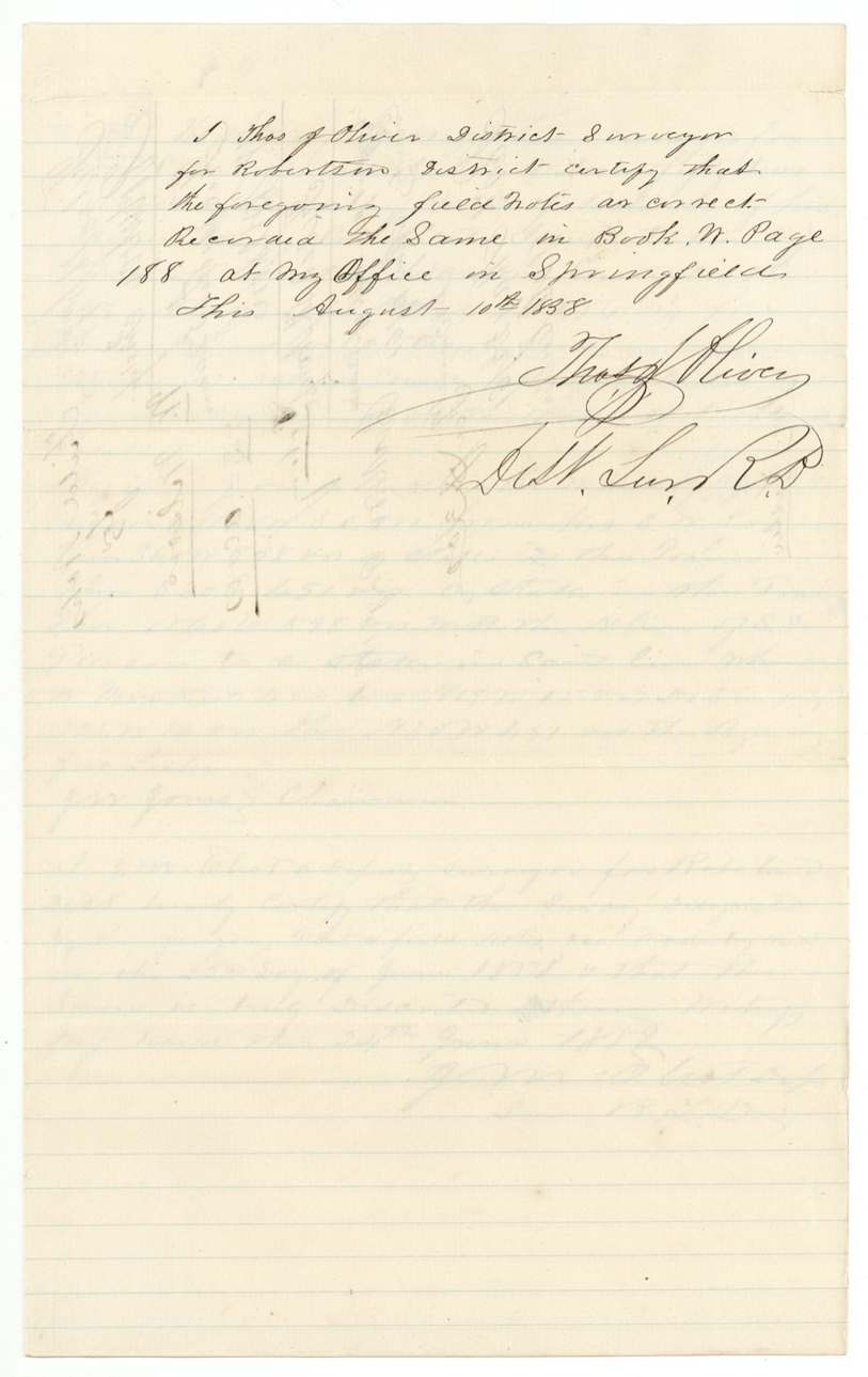
- 10 Aug 1858Recorded by District Surveyor Thos. J. Oliver at Springfield, Book W p. 188
- 8 Nov 1858Field notes filed in the General Land Office
- 28 Apr 1859Navarro County surveyor certifies a copy from Book B p. 318
- 2 Jul 1860William Wilson applies for renewal of the field notes; no adverse location found
- 9 Jul 1860Renewal filed in the GLO
- 13 May 1861Checked correct on the Navarro County map
- 23 May 1861Patent No. 195 Vol. 34 signed by Governor Edward Clark — never called for
The papers in the file
Every page of the Land Office file, in the order the Land Office keeps them (8 pages). Tap a page to see it larger.
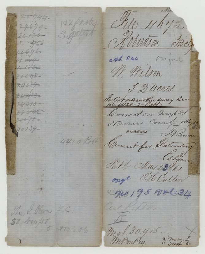
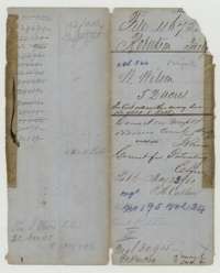 File jacketFile jacket for William Wilson's 52-acre survey, listing the field notes and patent, marked patented 23 May 1861.General Land Office, file 4675, page 1 · in the scan
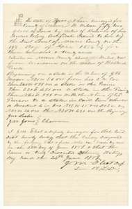 Field notesField notes for 52 acres on Richland Creek, Navarro County, surveyed for William Wilson by deputy surveyor J. M. Eliot, 22 June 1858.General Land Office, file 4675, page 2 · in the scan
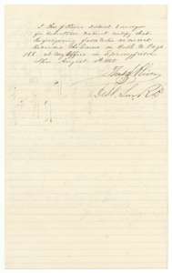 Surveyor's certificateDistrict surveyor Thos. J. Oliver's certificate of 10 August 1858 that the Wilson field notes were recorded at Springfield.General Land Office, file 4675, page 3 · in the scan
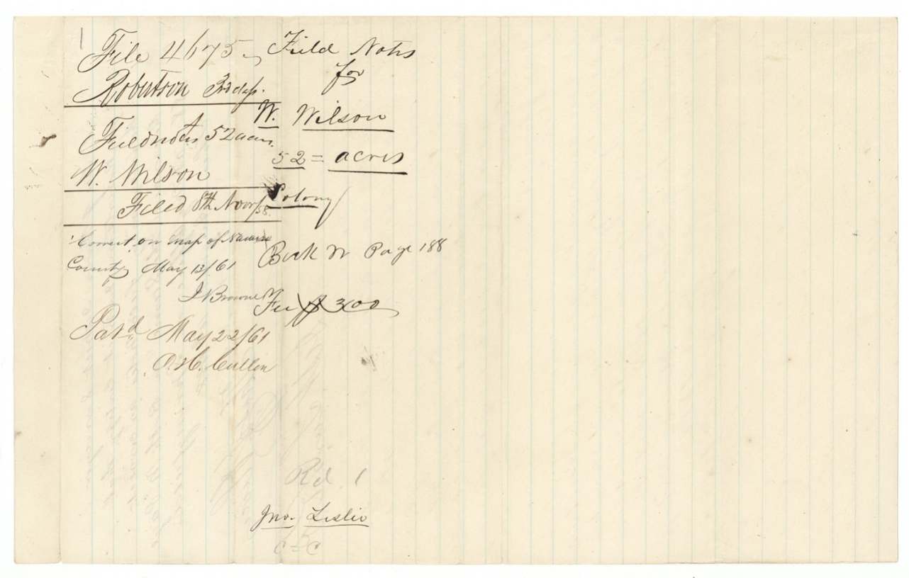
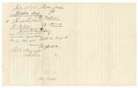 WrapperFiling wrapper for the Wilson field notes, filed 8 November 1858 and marked correct on the Navarro County map.General Land Office, file 4675, page 4 · in the scan
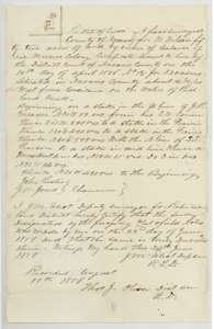 Field notesCertified copy of the Wilson field notes for 52 acres on Richland Creek, made by county surveyor J. M. Eliot.General Land Office, file 4675, page 5 · in the scan
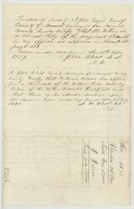 Surveyor's certificateEliot's certificates of 28 April 1859 and 2 July 1860 on the copy, with a filing wrapper for the renewal.General Land Office, file 4675, page 6 · in the scan
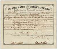 PatentPatent issued 23 May 1861 by Governor Edward Clark to William Wilson for 52 acres on Richland Creek, Navarro County.General Land Office, file 4675, page 7 · in the scan
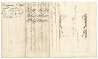 WrapperBack of the patent, with the Land Office entry of the patent and its recording.General Land Office, file 4675, page 8 · in the scan
Scans courtesy of the Texas General Land Office, Austin, from its Land Grant Database.
Neighbouring surveys
Sources
- Texas General Land Office, Land Grant Database: Navarro County, Abstract 866
- The Land Office file, scanned (PDF, at the General Land Office)
- 1924 map: courtesy of the Texas General Land Office, Austin, Map 73249, used under licence. Topo: U.S. Geological Survey, The National Map. Aerial photographs: U.S. Department of Agriculture, National Agriculture Imagery Program, 2012, 2018 and 2022. Survey outlines: Railroad Commission of Texas, Original Texas Land Survey. Grant records and files: Texas General Land Office.