Blackland TX · ← All the original surveys
Soloman S. Pearson Survey, Abstract 654
- Granted to
- Soloman S. Pearson
- Kind of grant
- Headright, third classLand for later settlers, including the colonists of Mercer’s Colony.
- Land Office file
- Robertson 3rd class, file 497
- Certificate
- No. 142
- Acres
- 320
- Patented to
- Margaret Houston
- Patent
- 16 Feb 1852 · No. 273, Vol. 8
Tap a survey to open its page.
What the file shows
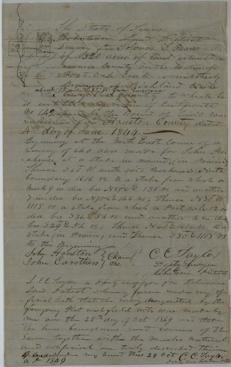
Solomon S. Pearson received unconditional 4th class certificate No. 142 for 320 acres from the Houston County board at Crockett on 4 June 1844, on proof of three years' residence under an earlier conditional certificate No. 7. That August he sold it for $100 to John R. Leath, who in October 1848, then living in Rusk County, sold it for $100 to Margaret Houston of Navarro County. After an earlier D. R. Mitchell survey was cancelled, C. C. Taylor surveyed the 320 acres on Post Oak Creek, a north branch of Richland Creek about 15 miles WSW of Corsicana, on 25 October 1849, with John Houston carrying the chain. Margaret Houston swore in 1851 that the conditional certificate was lost, and the patent (No. 273, Vol. 8) issued to her as assignee on 16 February 1852.
The certificate
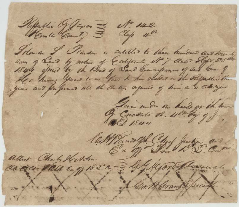
headright 4th class (as written on certificate and deeds; filed Robertson 3rd), No. 142 (unconditional); based on conditional No. 7, 320 acres, Board of Land Commissioners, Houston County: C. A. (Cyrus A.) Randolph, Chief Justice & ex off. Pres. B.L.C.; G. G. Alford, Associate; Geo. W. Evans(?), Associate; attest Charles H. Nelson, Clk Co. Ct. & ex off. Clk B.L.C., Town of Crockett, Houston County, 4 Jun 1844.
Unconditional: 'by virtue of Certificate No. 7 dated Sepr. 25th 184[0?] issued by the Board of Land Commissioners of said County, he having proved to us that he has resided in the Republic three years and performed all the duties required of him as a citizen.'
Changes of hand
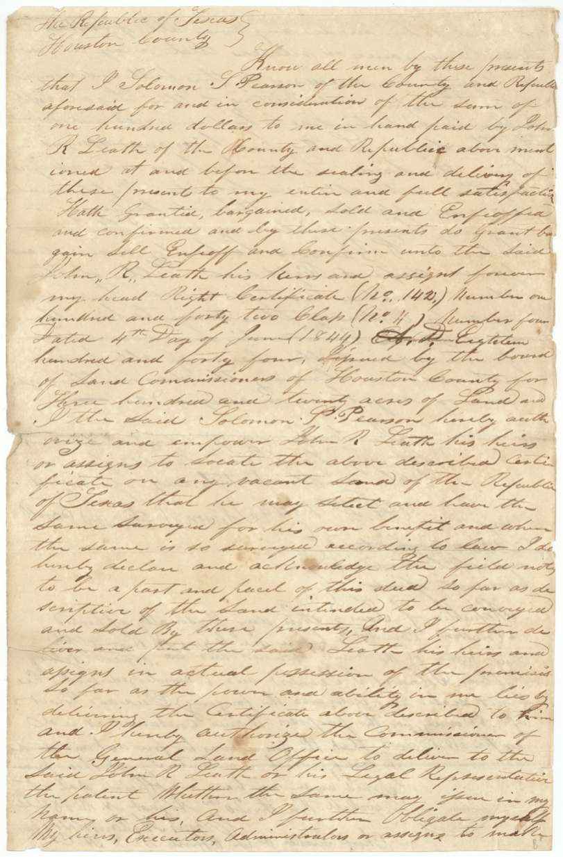
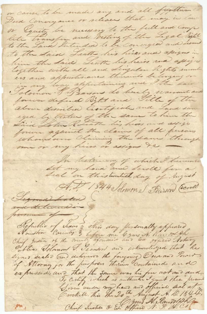
- 20 Aug 1844Solomon S. Pearson, of Houston County → John R. Leath, of Houston County, $100, Crockett, Houston County. Deed and power of attorney: conveys headright certificate No. 142, class No. 4, and authorizes Leath to locate it on any vacant land of the Republic and the GLO to deliver the patent to him.
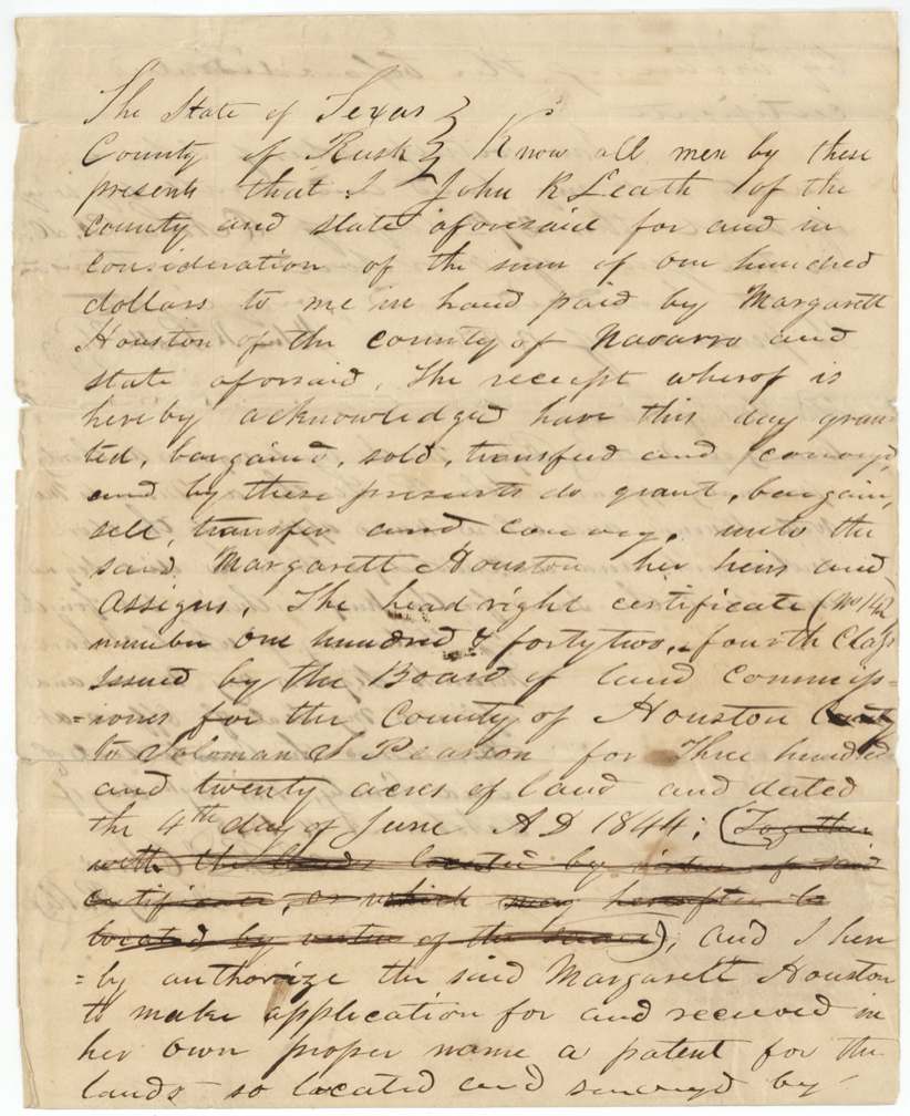
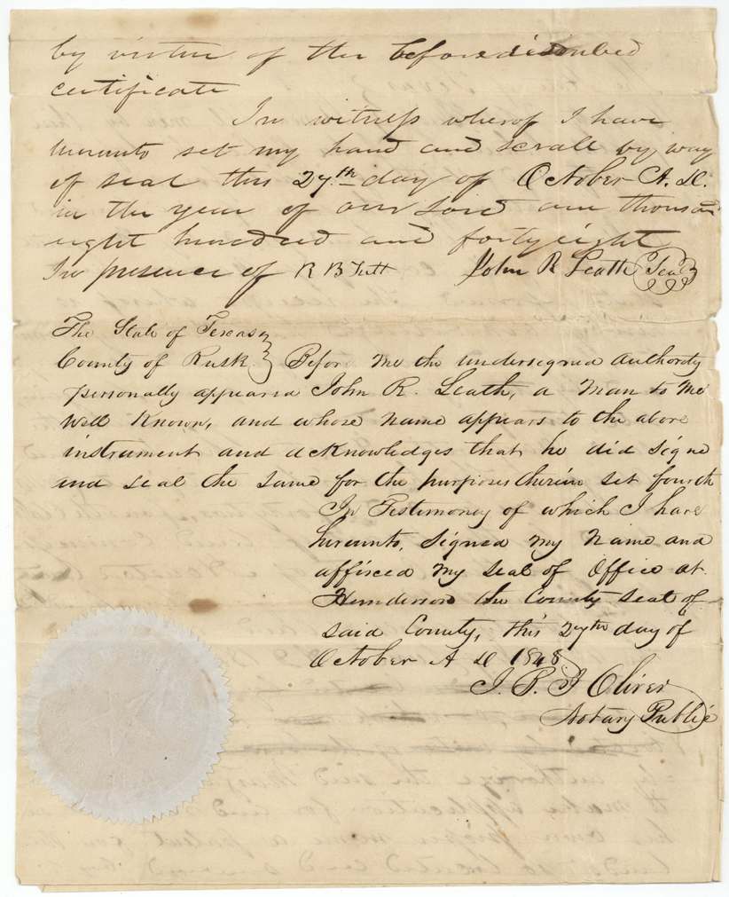
- 27 Oct 1848John R. Leath, of Rusk County → Margaret Houston, of Navarro County, $100, Rusk County (acknowledged at Henderson, the county seat). Conveys certificate No. 142, fourth class, and authorizes her to take patent in her own name; a clause about lands already located was written then struck.
The survey
11 Mar 1846, D. R. Mitchell.
not given (only a crossed-out certificate survives)
The survey
25 Oct 1849, C. C. Taylor.
Robertson Land District, Navarro County, on the waters of Post Oak Creek, a northerly branch of Richland Creek, about 15 miles S 83 W from Corsicana (interlined). Begins at the NE corner of a 640-acre survey made for John Peachouse, at a stake in mound in prairie; S60W with Peachouse's north boundary 1616 vrs; N30W 1118 vrs; N60E 1616 vrs to a stake in prairie; S30E 1118 vrs to beginning.
Chain carriers: John Houston, John Carothers.
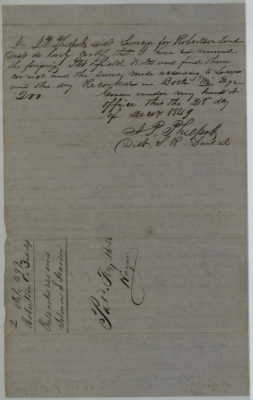
Book M page 200
The patent
16 Feb 1852, No. 273, Vol. 8, to Margaret Houston, assignee, delivered to not legible (faint pencil at foot of jacket).
Also in the file
- Certificate and deeds say 4th class; file classed Robertson 3rd.
- An earlier 1846 survey by D. R. Mitchell was cancelled; the land was resurveyed by C. C. Taylor in 1849.
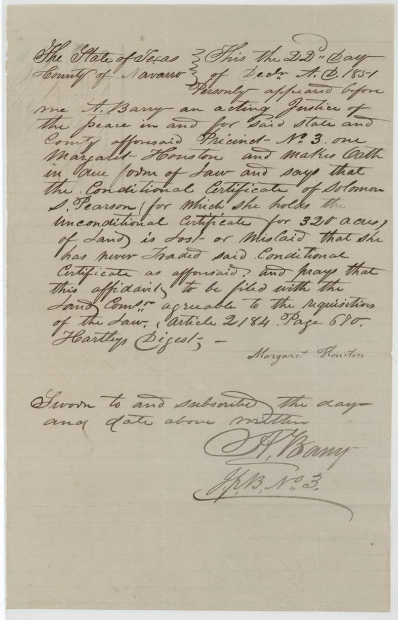
- Conditional certificate No. 7 was lost, requiring Margaret Houston's sworn affidavit in 1851.
- Certificate face crossed through with large X's (cancellation marks).
- Price unchanged at $100 across both sales (1844 and 1848).
- A John Houston carried the chain on the survey of land bought by Margaret Houston.
Timeline
- 25 Sep 1840Conditional certificate No. 7 issued to Solomon S. Pearson by Houston County board (year partly illegible)
- 4 Jun 1844Unconditional certificate No. 142 (320 acres, 4th class) issued at Crockett
- 20 Aug 1844Pearson sells the certificate to John R. Leath for $100
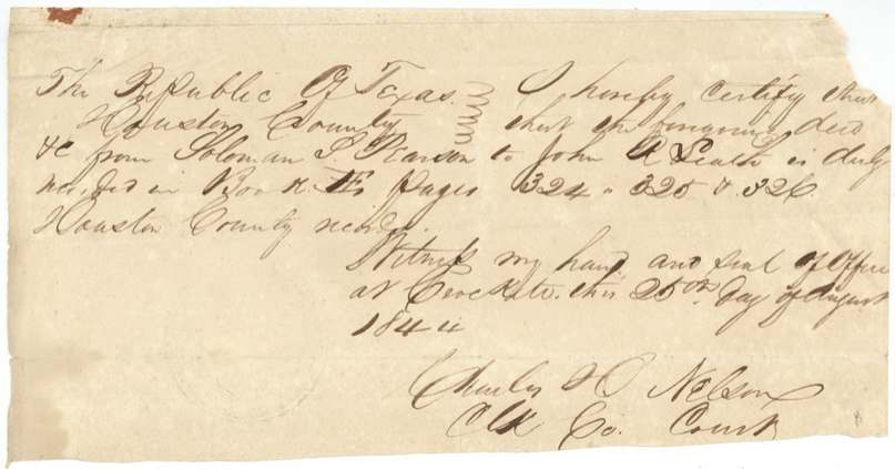
- 25 Aug 1844Deed recorded Houston County Book H pp.324-326
- 11 Mar 1846D. R. Mitchell survey (later cancelled)
- 27 Oct 1848Leath, now of Rusk County, sells to Margaret Houston of Navarro County for $100
- 25 Oct 1849C. C. Taylor surveys 320 acres on Post Oak Creek from John Peachouse's NE corner (carriers John Houston, John Carothers)
- 28 Dec 1849Recorded Book M p.200
- 21 Nov 1851Correct on map
- 22 Dec 1851Margaret Houston swears the conditional certificate is lost
- 16 Feb 1852Patent No. 273 Vol. 8 to Margaret Houston, assignee
The papers in the file
Every page of the Land Office file, in the order the Land Office keeps them (13 pages). Tap a page to see it larger.
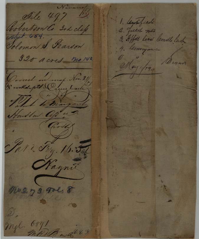
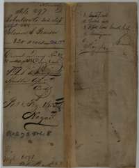 File jacketFile jacket for Soloman S. Pearson's 320-acre headright, with the patent note of 1852 to Margaret Houston.General Land Office, file 497, page 1 · in the scan
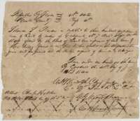 CertificateHouston County unconditional headright certificate No. 142 of 4 June 1844 entitling Solomon S. Pearson to 320 acres.General Land Office, file 497, page 2 · in the scan
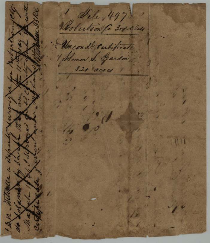
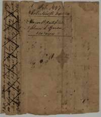 WrapperFiling wrapper for the Pearson certificate, crossed through with large X marks.General Land Office, file 497, page 3 · in the scan
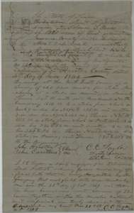 Field notesField notes of 320 acres on Post Oak Creek surveyed for Solomon S. Pearson's certificate by deputy surveyor C. C. Taylor, 25 October 1849.General Land Office, file 497, page 4 · in the scan
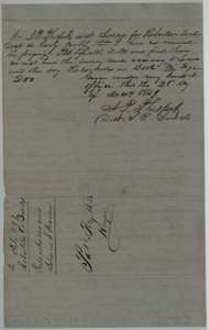 Surveyor's certificateDistrict Surveyor J. P. Philpott's certificate of 28 December 1849 that the Pearson field notes were examined and recorded in Book M, page 200.General Land Office, file 497, page 5 · in the scan
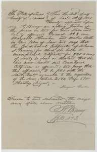 AffidavitAffidavit of 22 December 1851 by Margaret Houston, sworn before A. Barry, that Pearson's conditional certificate was lost.General Land Office, file 497, page 6 · in the scan
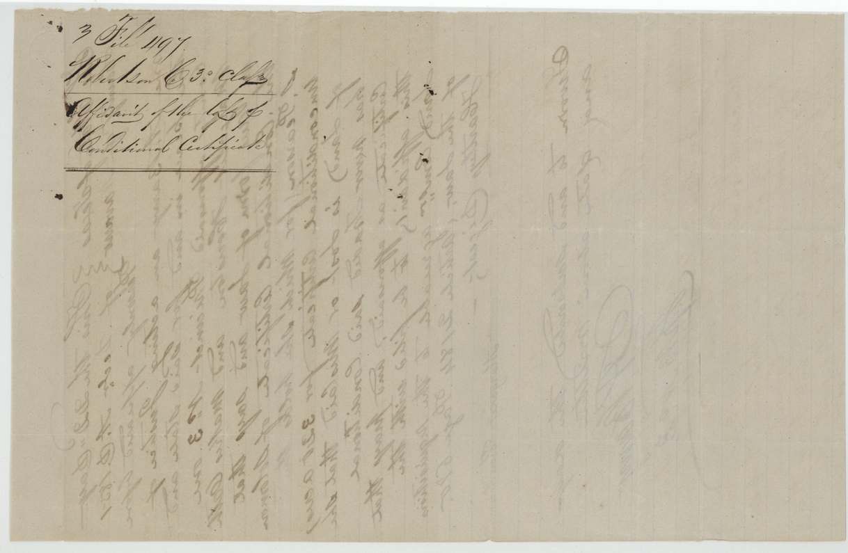
 WrapperFiling wrapper for Margaret Houston's affidavit about the lost conditional certificate.General Land Office, file 497, page 7 · in the scan
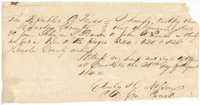 CertificateHouston County clerk's certificate of 25 August 1844 that the Pearson deed to John R. Leath was recorded in Book H.General Land Office, file 497, page 8 · in the scan
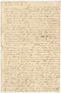 TransferFirst page of the deed and power of attorney of 20 August 1844 from Solomon S. Pearson to John R. Leath for his headright certificate.General Land Office, file 497, page 9 · in the scan
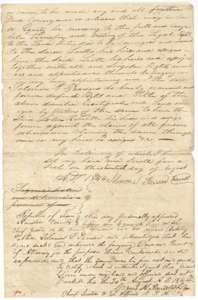 TransferSecond page of the Pearson to Leath deed, signed 20 August 1844 and acknowledged at Crockett before Chief Justice Cyrus A. Randolph.General Land Office, file 497, page 10 · in the scan
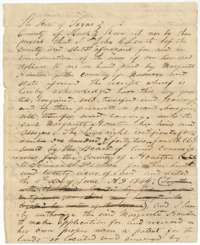 TransferFirst page of the deed of 27 October 1848 from John R. Leath to Margaret Houston of Navarro County for the headright certificate.General Land Office, file 497, page 11 · in the scan
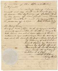 TransferSecond page of the Leath to Margaret Houston deed, acknowledged at Henderson on 27 October 1848 before notary public J. P. J. Oliver.General Land Office, file 497, page 12 · in the scan
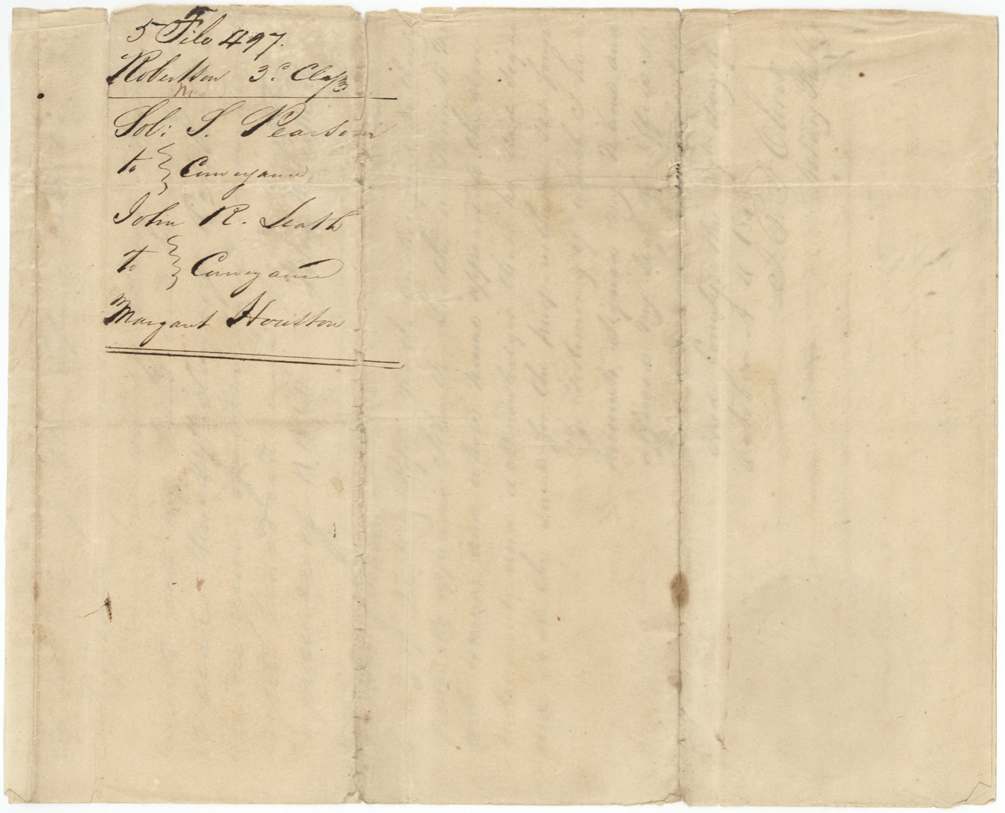
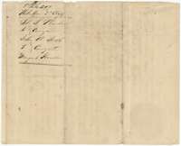 WrapperFiling wrapper listing the Pearson to Leath and Leath to Margaret Houston conveyances.General Land Office, file 497, page 13 · in the scan
Scans courtesy of the Texas General Land Office, Austin, from its Land Grant Database.
Neighbouring surveys
Sources
- Texas General Land Office, Land Grant Database: Navarro County, Abstract 654
- The Land Office file, scanned (PDF, at the General Land Office)
- 1924 map: courtesy of the Texas General Land Office, Austin, Map 73249, used under licence. Topo: U.S. Geological Survey, The National Map. Aerial photographs: U.S. Department of Agriculture, National Agriculture Imagery Program, 2012, 2018 and 2022. Survey outlines: Railroad Commission of Texas, Original Texas Land Survey. Grant records and files: Texas General Land Office.