Blackland TX · ← All the original surveys
Wiley Beasley Survey, Abstract 98
- Granted to
- Wiley Beasley
- Kind of grant
- Headright, third classLand for later settlers, including the colonists of Mercer’s Colony.
- Land Office file
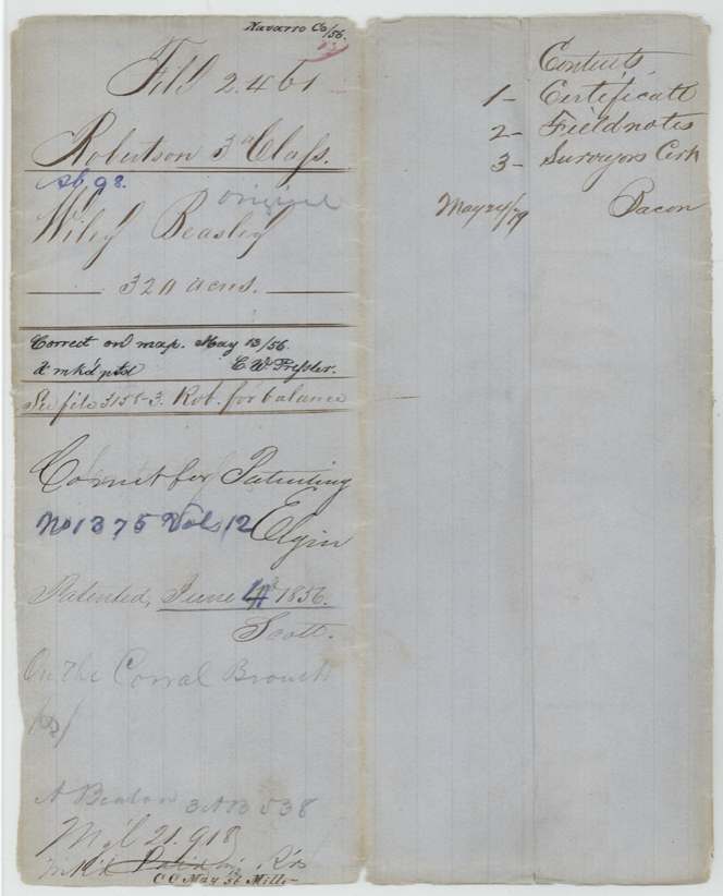
- Robertson 3rd class, file 2461
- Acres
- 320
- Patented to
- Wiley Beasley
- Patent
- 04 Jun 1856 · No. 1375, Vol. 12
Tap a survey to open its page.
What the file shows
In June 1854 the Navarro County district court, Judge John H. Reagan presiding, found that Wiley Beasley had proved his citizenship as a Mercer's Colony settler and issued him Certificate No. 6 for 640 acres. Deputy surveyor Wm. L. Browning laid off 320 acres for him on the Carroll (Corral) branch west-southwest of Corsicana on 3 October 1855, next to the R. J. French, Crabtree and John Pevehouse surveys. After a check for a possible conflict with a P. S. George claim came up empty, the papers were filed in Austin in January 1856, and Beasley was patented in his own name in June 1856 (No. 1375, Vol. 12). The unused 320 acres went on a new certificate delivered to A. Beaton.
The certificate
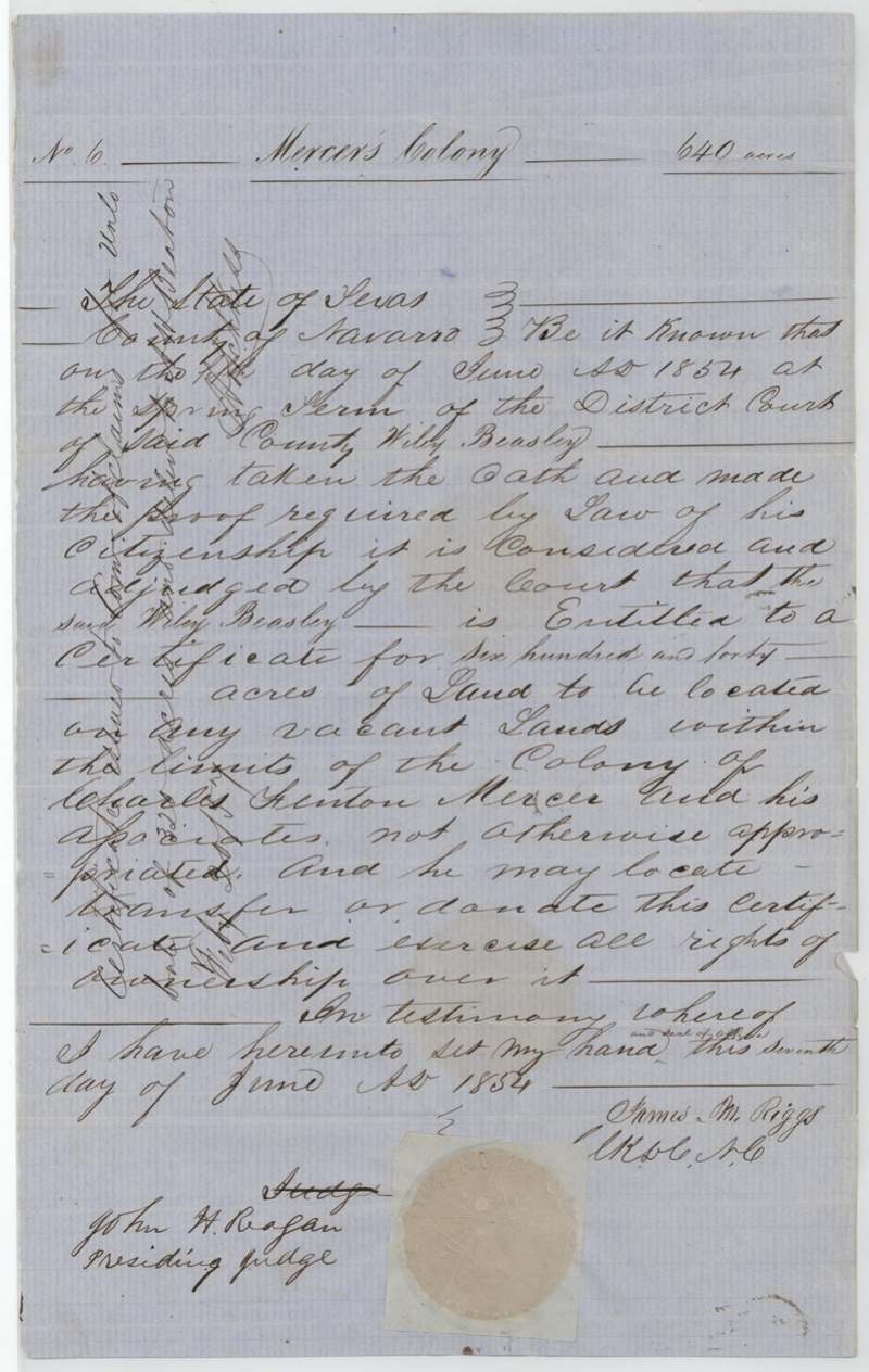
other (Mercer's Colony certificate, issued by district court decree; filed by GLO as Robertson 3rd class), No. 6, 640 acres, District Court of Navarro County, Spring Term — John H. Reagan, presiding judge; James M. Riggs, Clerk D.C. N.C., under seal of office, Navarro County, 1854-06-07 (judgment entered on the 1st(?) day of June 1854 at the Spring Term; certificate signed 7 June 1854).
Wiley Beasley took the oath and made the proof required by law of his citizenship; the court adjudged him entitled to 640 acres to be located on any vacant land within the limits of the colony of Charles Fenton Mercer and his associates not otherwise appropriated, and he may locate, transfer or donate it
The survey
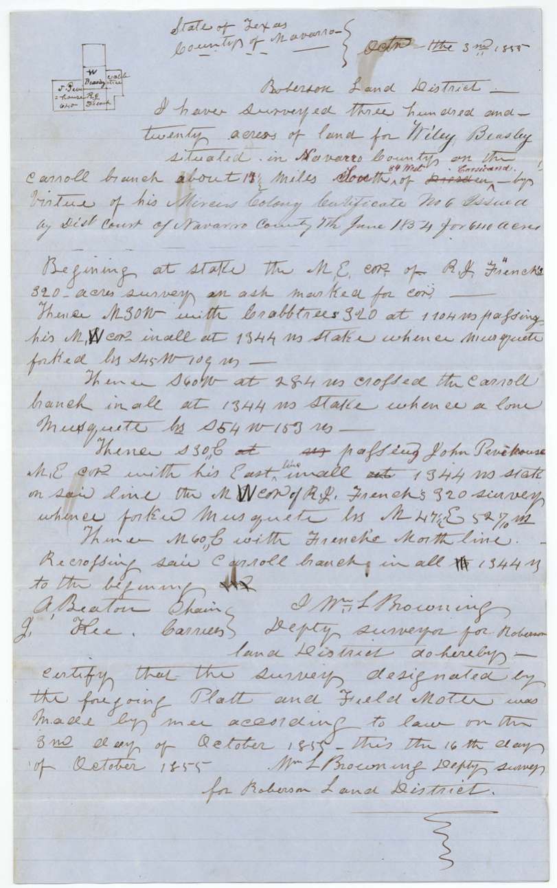
1855-10-03 (certified 1855-10-16), Wm. L. Browning.
Navarro County on the Carroll branch (wrapper pencil: 'On the Corral Branch'), about 1[8?]½ miles South 84 West of Corsicana — 'South of Dresden' was first written, then 'Dresden' struck and 'Corsicana' and '84 West' inserted in red ink
Chain carriers: A. Beaton, J. Kee (?).
Book S(?) [read 'Book 8' or 'S'] page 342
The patent
1856-06-04 (wrapper 'June 4th 1856', '4' written over another figure; field-notes jacket says 'June 3rd 1856'), No. 1375, Vol. 12, to Wiley Beasley.
Also in the file
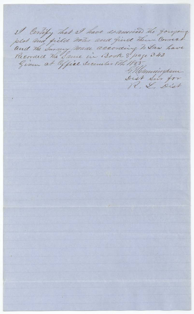
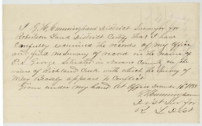
- The survey was suspected of overlapping a claim in the name of P. S. George on Richland Creek; the district surveyor certified in December 1855 that his office had no such survey on record.
- The location was first written as south of Dresden, then corrected in red ink to west of Corsicana.
- The certificate came from the Navarro County district court under the Mercer's Colony settlement — not a headright board — but the GLO filed it under Robertson 3rd class.
- Only half the certificate (320 of 640 acres) was used here; the other 320 acres went on a new certificate delivered to A. Beaton, who was also a chain carrier on this survey (see GLO file 3158, Robertson 3rd).
Timeline
- Jun 1854Navarro County district court (Judge John H. Reagan) adjudges Wiley Beasley entitled to 640 acres in Mercer's Colony
- 7 Jun 1854Certificate No. 6 signed by clerk James M. Riggs
- 3 Oct 1855Wm. L. Browning surveys 320 acres on Carroll branch
- 8 Dec 1855Field notes examined and recorded by District Surveyor G. H. Cunningham
- 10 Dec 1855Cunningham certifies no conflicting P. S. George survey of record
- 17 Jan 1856Papers filed in the General Land Office
- 13 May 1856Checked correct on map (C. W. Pressler)
- 4 Jun 1856Patent No. 1375, Vol. 12, to Wiley Beasley
- 1856-02 (?)Certificate for the unlocated 320-acre balance issued and delivered to A. Beaton
The papers in the file
Every page of the Land Office file, in the order the Land Office keeps them (8 pages). Tap a page to see it larger.
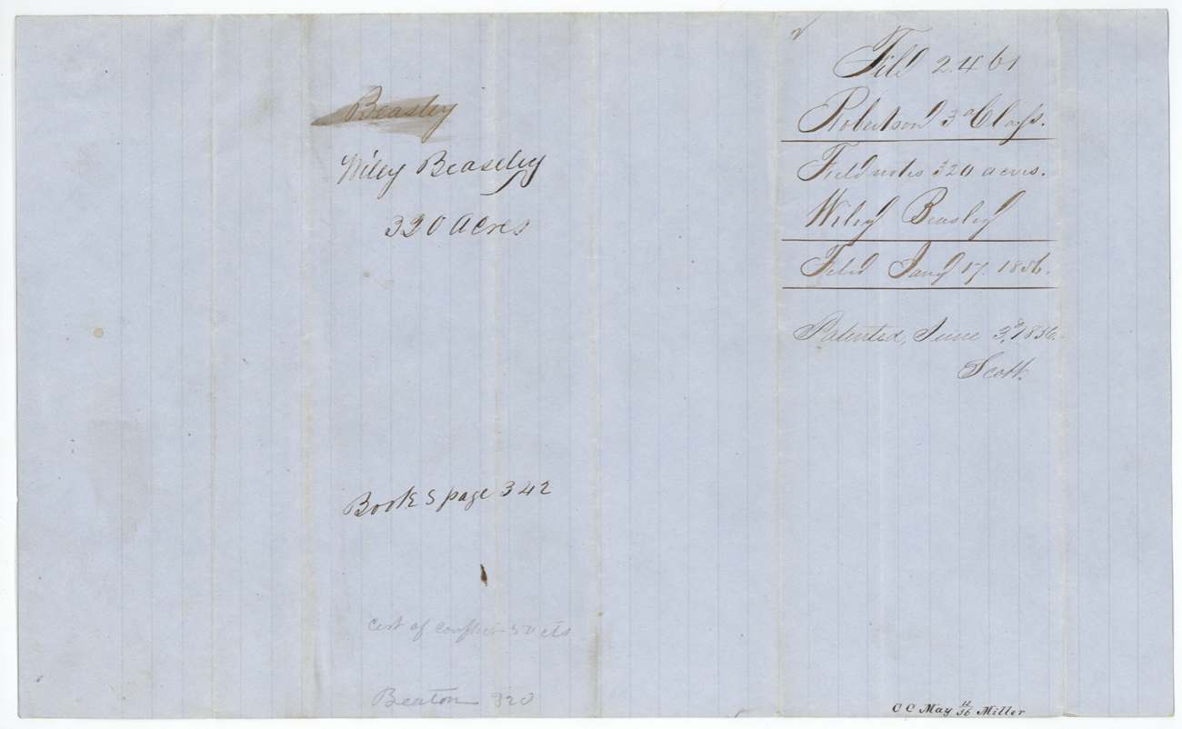
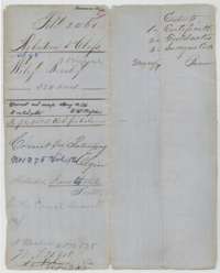 File jacketFile jacket for Wiley Beasley's 320-acre survey, listing the certificate, field notes and surveyor's certificate, with the patent entry of June 1856.General Land Office, file 2461, page 1 · in the scan
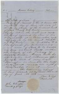 CertificateMercer's Colony certificate No. 6 for 640 acres, awarded to Wiley Beasley by the Navarro County District Court under Judge John H. Reagan, 7 June 1854.General Land Office, file 2461, page 2 · in the scan
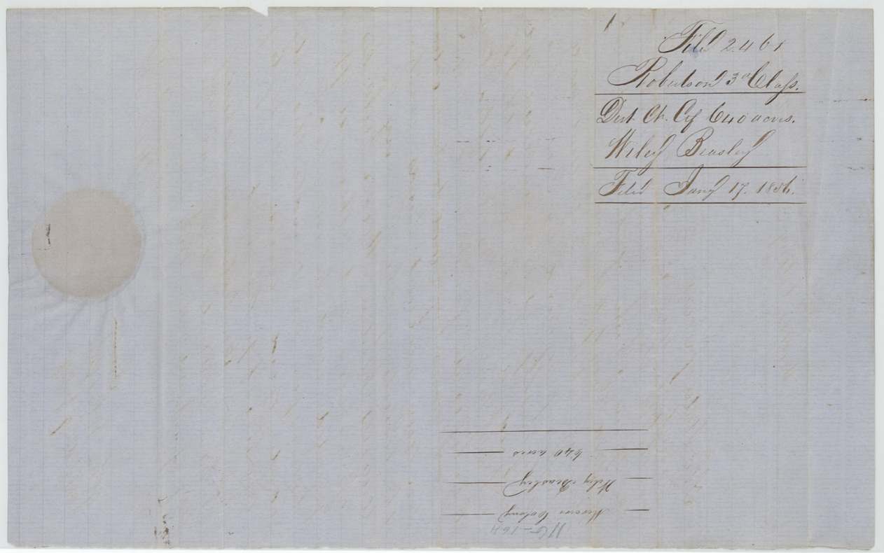
 Back of the certificateBack of the certificate, with the Land Office filing note of 17 January 1856.General Land Office, file 2461, page 3 · in the scan
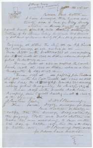 Field notesField notes and plat for 320 acres on the Carroll branch, surveyed for Wiley Beasley by deputy surveyor William L. Browning, 3 October 1855.General Land Office, file 2461, page 4 · in the scan
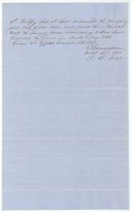 Surveyor's certificateDistrict surveyor G. H. Cunningham's certificate of 8 December 1855 that the Beasley plat and field notes are correct and recorded in Book S, page 342.General Land Office, file 2461, page 5 · in the scan
 WrapperWrapper for the Beasley field notes of 320 acres, filed 17 January 1856 and marked as patented.General Land Office, file 2461, page 6 · in the scan
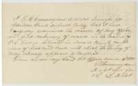 Surveyor's certificateDistrict surveyor G. H. Cunningham's certificate of 10 December 1855 that no conflicting survey on Richland Creek appears in the records against the Beasley survey.General Land Office, file 2461, page 7 · in the scan
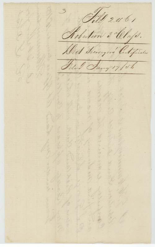
 WrapperDocket for the surveyor's certificate in the Wiley Beasley file, filed 17 January 1856.General Land Office, file 2461, page 8 · in the scan
Scans courtesy of the Texas General Land Office, Austin, from its Land Grant Database.
Neighbouring surveys
Sources
- Texas General Land Office, Land Grant Database: Navarro County, Abstract 98
- The Land Office file, scanned (PDF, at the General Land Office)
- 1924 map: courtesy of the Texas General Land Office, Austin, Map 73249, used under licence. Topo: U.S. Geological Survey, The National Map. Aerial photographs: U.S. Department of Agriculture, National Agriculture Imagery Program, 2012, 2018 and 2022. Survey outlines: Railroad Commission of Texas, Original Texas Land Survey. Grant records and files: Texas General Land Office.