Blackland TX · ← All the original surveys
Richard J. French Survey, Abstract 268
- Granted to
- Richard J. French
- Kind of grant
- Headright, third classLand for later settlers, including the colonists of Mercer’s Colony.
- Land Office file
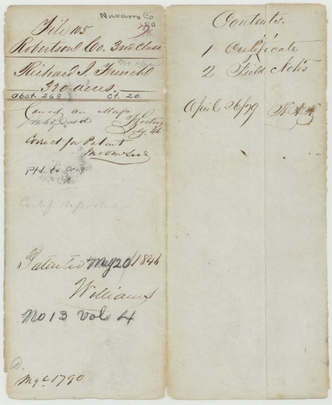
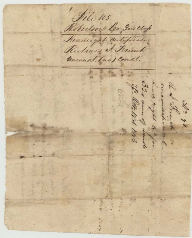
- Robertson 3rd class, file 105
- Certificate
- No. 20
- Acres
- 320
- Patented to
- Richard J. French
- Patent
- 20 May 1846 · No. 13, Vol. 4
Tap a survey to open its page.
What the file shows
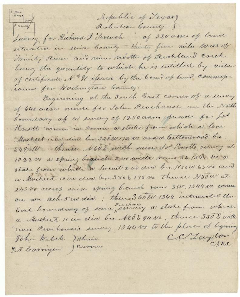
Richard J. French proved to the Washington County land board at Mount Vernon that he had lived in the Republic three years, and on 18 October 1843 received unconditional certificate No. 91 for 320 acres. Robertson County Surveyor C. C. Taylor located it in July 1844 nine miles north of Richland Creek, starting at John Pevehouse's corner on the line of Joseph Knott's 1,280-acre survey, and recorded it in May 1846. The Land Office checked it on the map in July 1846 and patented it to French himself in 1846 (Patent No. 13, Vol. 4). There is no sale of the certificate in the file.
The certificate
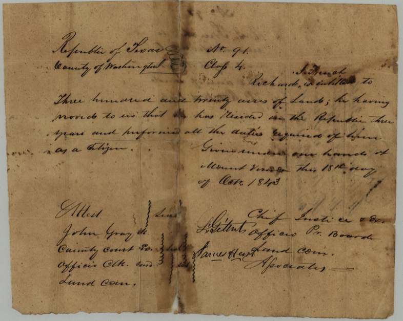
headright 3rd class (certificate itself says 'Class 4'), No. 91, 320 acres, Board of Land Commissioners for Washington County: L. Gillett (?), Chief Justice and ex officio President; James Hart (?), Associate; attested by John Gray, Clerk of the County Court and ex officio Clerk of the Board, Mount Vernon, Washington County, 18 Oct 1843.
French proved he had resided in the Republic three years and performed all the duties required of him as a citizen; 320 acres is the single man's quantity
The survey
between 1844-07-10 and 1844-07-20 (surveyor's oath dated 13 July 1845), C. C. Taylor, County Surveyor of Robertson County.
Robertson County (now Navarro), thirty-five miles west of the Trinity River and nine miles north of Richland Creek; begins at the SE corner of John Pevehouse's 640-acre survey on the north boundary of Jos. Knott's 1,280-acre survey; crosses a spring branch 8 varas wide twice
Chain carriers: John Welch, D. N. Carriger (?).
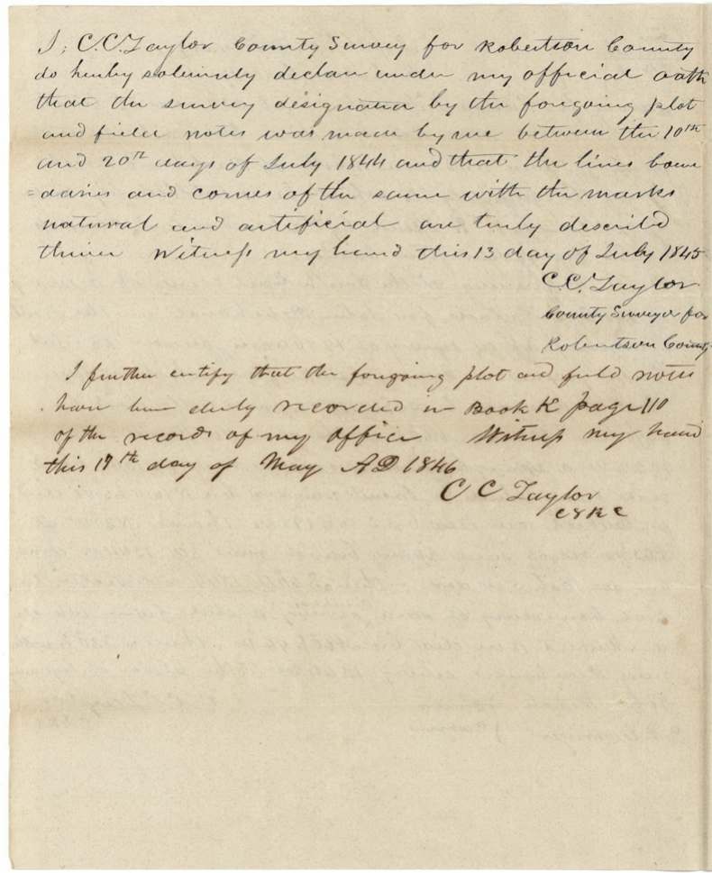
Book K, page 110, Robertson County surveyor's records, 19 May 1846
The patent
20 [month overwritten, reads May (?)] 1846, No. 13, Vol. 4, to Richard J. French.
Also in the file
- The certificate is headed 'Class 4' while the Land Office filed it as Third Class.
- The surveyor says the survey was run in July 1844 but signed his oath on 13 July 1845, a year later, and did not record it until May 1846.
- The patent month has been written over; the map check is dated July 1846, so a May 1846 patent would come before the map check - the month should be checked against the patent volume.
- Survey placed in Robertson County, which then took in the land that became Navarro County; it ties into the Pevehouse and Knott surveys.
Timeline
- 18 Oct 1843Washington County board at Mount Vernon issues unconditional certificate No. 91 for 320 acres to Richard J. French
- Jul 1844C. C. Taylor surveys 320 acres between the 10th and 20th, north of Richland Creek, next to Pevehouse and Knott
- 13 Jul 1845Surveyor signs his oath on the field notes
- 19 May 1846Field notes recorded in Book K, page 110, Robertson County
- Jul 1846Survey checked correct on the land-office map
- 1846Patented to Richard J. French, No. 13, Vol. 4 (day 20; month uncertain)
The papers in the file
Every page of the Land Office file, in the order the Land Office keeps them (6 pages). Tap a page to see it larger.
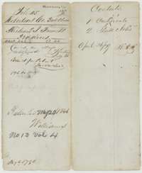 File jacketFile jacket for the Robertson County Third Class file of Richard J. French, 320 acres, patented in 1846 as No. 13, Volume 4.General Land Office, file 105, page 1 · in the scan
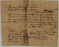 CertificateHeadright certificate No. 91 for 320 acres, issued at Mount Vernon on 18 October 1843 by the Washington County land board to Richard J. French.General Land Office, file 105, page 2 · in the scan
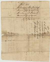 Back of the certificateBack of the certificate, marked as the unconditional headright certificate of Richard J. French.General Land Office, file 105, page 3 · in the scan
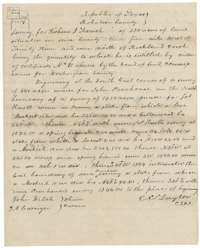 Field notesField notes for 320 acres north of Richland Creek, surveyed for Richard J. French by County Surveyor C. C. Taylor, next to the Pevehouse and Knott surveys.General Land Office, file 105, page 4 · in the scan
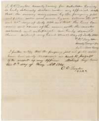 Surveyor's certificateOath of C. C. Taylor of 13 July 1845 on the French survey, with his certificate that it was recorded in Book K, page 110, on 19 May 1846.General Land Office, file 105, page 5 · in the scan
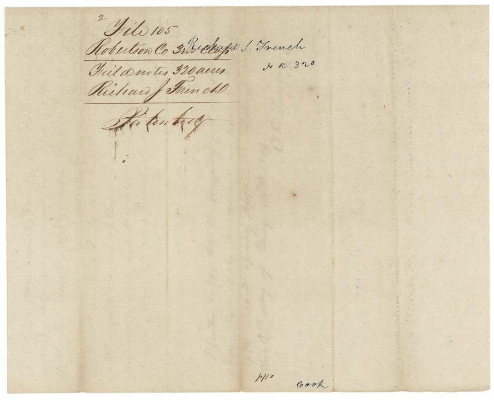
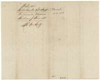 File jacketJacket for the field notes of Richard J. French, 320 acres, marked patented.General Land Office, file 105, page 6 · in the scan
Scans courtesy of the Texas General Land Office, Austin, from its Land Grant Database.
Neighbouring surveys
Sources
- Texas General Land Office, Land Grant Database: Navarro County, Abstract 268
- The Land Office file, scanned (PDF, at the General Land Office)
- 1924 map: courtesy of the Texas General Land Office, Austin, Map 73249, used under licence. Topo: U.S. Geological Survey, The National Map. Aerial photographs: U.S. Department of Agriculture, National Agriculture Imagery Program, 2012, 2018 and 2022. Survey outlines: Railroad Commission of Texas, Original Texas Land Survey. Grant records and files: Texas General Land Office.