Blackland TX · ← All the original surveys
Joseph Knott Survey, Abstract 456
- Granted to
- Joseph Knott
- Kind of grant
- Headright, second classLand for settlers who came between independence and 1 October 1837.
- Land Office file
- Robertson 2nd class, file 174
- Certificate
- No. 346
- Acres
- 1280
- Patented to
- Joseph Knott
- Patent
- 16 Dec 1847 · No. 167, Vol. 4
Tap a survey to open its page.
What the file shows
Joseph Knott, a married man, received a conditional 2nd class headright certificate for 1,280 acres from the Washington County board on 12 December 1839, and in June 1840 endorsed it as a gift to his daughter Jane. Deputy Surveyor James Scofield nonetheless located it in Knott's name on Post Oak Creek of Richland Creek, next to J. A. Ramsey, and it was examined at Franklin in July 1841. After the Montgomery County board made the right unconditional in January 1846, Knott, then of Grimes County, appointed John Welch in August 1847 to obtain the patent, which issued to Joseph Knott in December 1847 (No. 167, Vol. 4).
The certificate
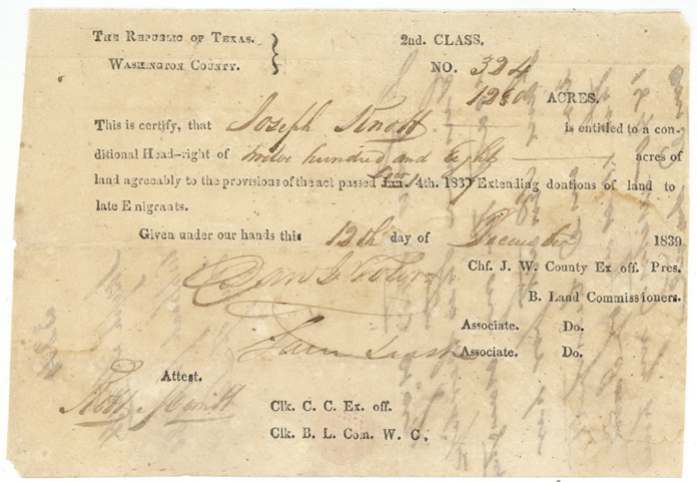
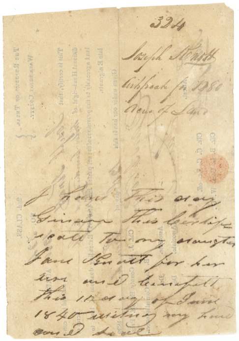
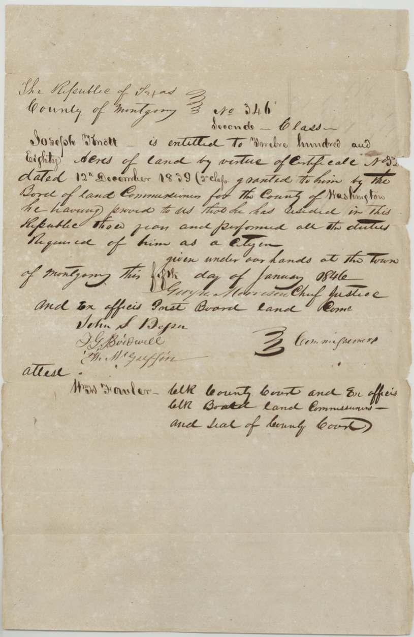
headright 2nd class, No. 324 (conditional, 1839); replaced by unconditional No. 346 (1846), 1280 acres, Conditional: Board of Land Commissioners for Washington County - Sam J. Toler (?), Chief Justice and ex officio President; Jas. Leach (?), Associate; attested Robt. Smith, Clerk. Unconditional: Board of Land Commissioners for Montgomery County - George Morrison (?), Chief Justice and ex officio President; John S. Besser (?), J. G. Bidwell (?), W. McGuffin (?), Commissioners; attested Wm. Fowler, Clerk, Washington County (1839); town of Montgomery, Montgomery County (1846), 1839-12-12 (conditional); 1846-01-05 (unconditional, 'fifth' (?) day of January).
Printed 2nd Class conditional certificate: Knott entitled to a conditional headright of 1,280 acres under the act 'extending donations of land to late emigrants' (the printed act date altered by hand to Dec. 14th 1837). The 1846 unconditional certificate states he proved he had resided in the Republic three years and performed all the duties of a citizen. 1,280 acres is the married man's quantity.
Changes of hand
- 12 Jun 1840Joseph Knott → Jane Knott, his daughter, gift ('for her use and benefit'). Endorsed on the back of conditional certificate No. 324: 'I have this day given this certificate to my daughter Jane Knott for her use and benefit this 12 day of June 1840. Witness my hand and seal.' The gift does not appear to have been acted on: the survey, unconditional certificate and patent all stay in Joseph Knott's name.
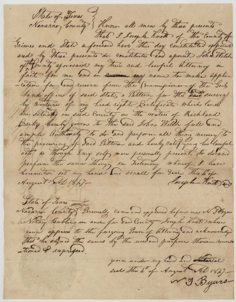
- 4 Aug 1847Joseph Knott, of Grimes County → John Welch, of the same county, as attorney in fact, Navarro County. Power of attorney to apply for and receive the patent from the Commissioner of the General Land Office for the survey on the waters of Richland Creek. Not a sale.
The survey
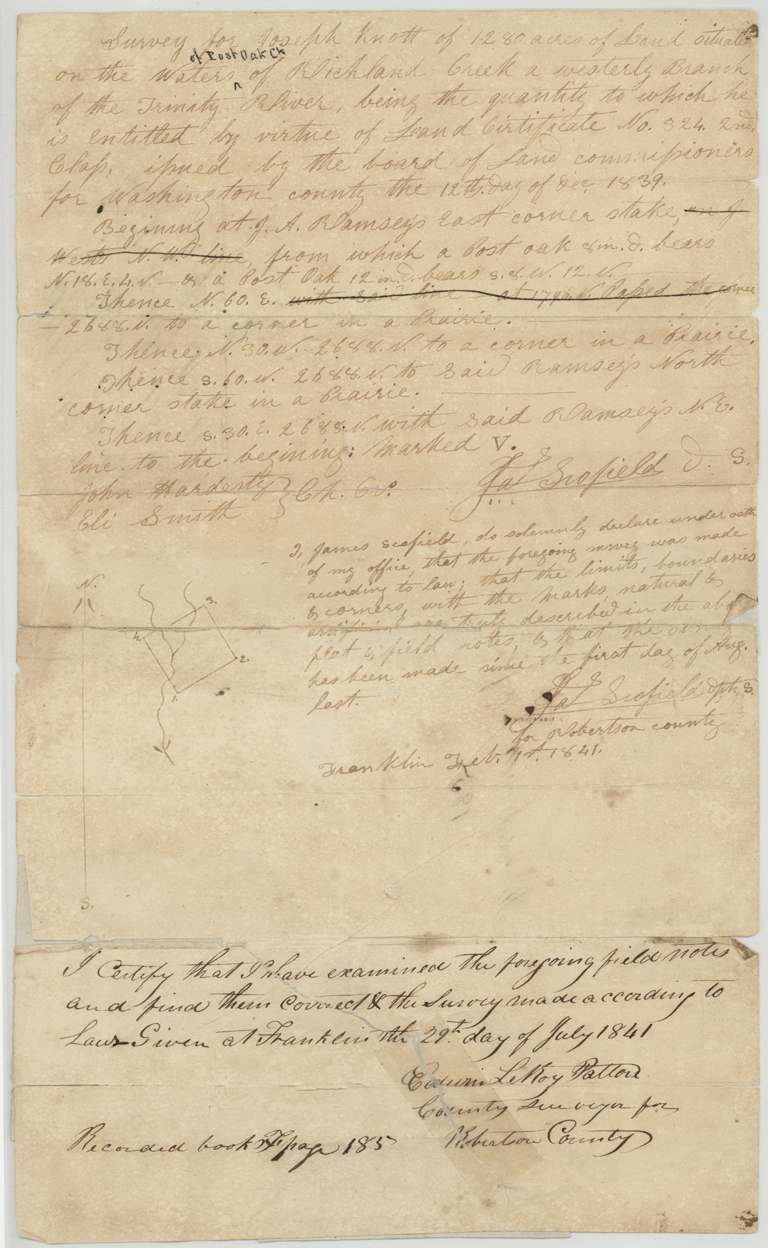
made after 1 Aug 1840; surveyor's oath dated Franklin, Feb. 1st (?) 1841, James Scofield, Deputy Surveyor for Robertson County.
On the waters of Post Oak Creek (inserted above the line) of Richland Creek, a westerly branch of the Trinity River; begins at J. A. Ramsey's east corner stake, from which a post oak 8 in. bears N 18 E 4 v. and a post oak 12 in. bears S 8 W 12 v.; a square of 2,688 varas a side, corners in prairie; corner marked V
Chain carriers: John Hardesty, Eli Smith.
Book F, page 185
The patent
1847-12-16 (day overwritten; '16' (?)), No. 167, Vol. 4, to Joseph Knott, delivered to John Welch (?) under the 1847 power of attorney (not stated on the jacket).
Also in the file
- Joseph Knott signed his certificate over to his daughter Jane in June 1840 as a gift, but the land was still surveyed and patented in his own name - the gift seems never to have been carried through.
- The certificate went through three counties: issued in Washington County (1839), surveyed in Robertson County (1840-41), made unconditional in Montgomery County (1846), and by 1847 Knott said he lived in Grimes County.
- The printed form's act date was altered by hand from 'Jan.' to 'Dec.' (the 1837 act extending land to late emigrants).
- John Welch, the man Knott made his attorney in 1847, had already carried the chain on Richard J. French's neighbouring survey in 1844.
Timeline
- 12 Dec 1839Washington County board issues conditional 2nd class certificate No. 324 for 1,280 acres to Joseph Knott
- 12 Jun 1840Knott endorses the certificate as a gift to his daughter Jane Knott
- 1840-08/1841-02Deputy Surveyor James Scofield surveys 1,280 acres on Post Oak Creek of Richland Creek, adjoining J. A. Ramsey
- 29 Jul 1841County Surveyor Edwin LeRoy Patton examines the field notes at Franklin; recorded Book F p. 185
- 5 Jan 1846Montgomery County board issues unconditional certificate No. 346
- 4 Aug 1847Knott, of Grimes County, appoints John Welch his attorney to obtain the patent; acknowledged in Navarro County
- 14 Dec 1847Survey checked correct on the land-office map
- 16 Dec 1847Patented to Joseph Knott, No. 167, Vol. 4
The papers in the file
Every page of the Land Office file, in the order the Land Office keeps them (10 pages). Tap a page to see it larger.
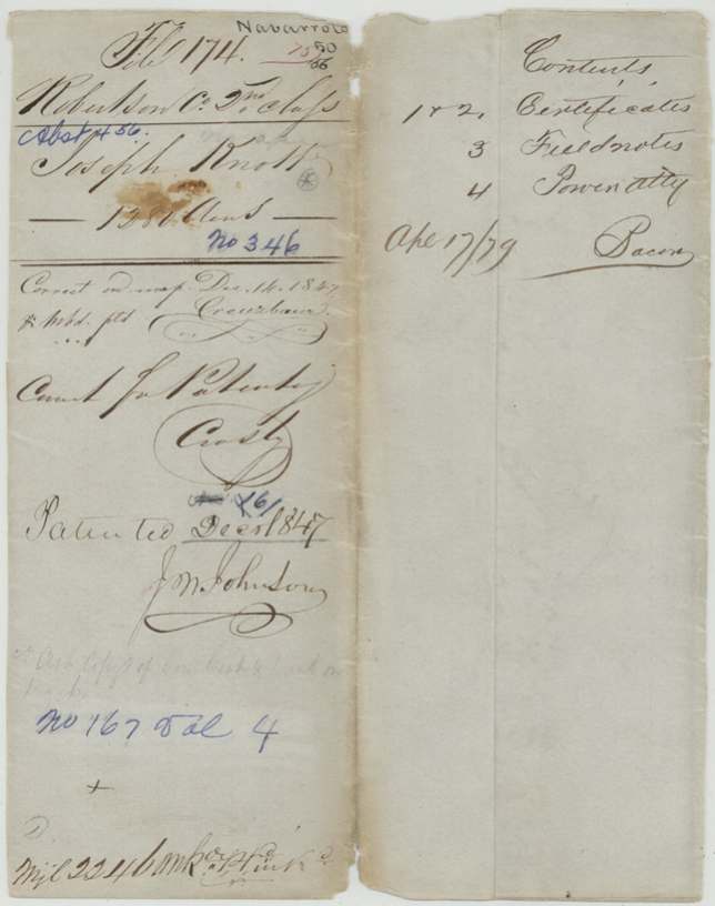
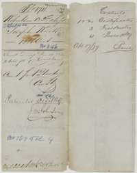 File jacketFile jacket for Joseph Knott's 1,280-acre headright file, listing two certificates, field notes and a power of attorney, with the patent entry of December 1847.General Land Office, file 174, page 1 · in the scan
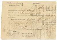 CertificateConditional second-class headright certificate No. 324 for 1,280 acres, issued to Joseph Knott by the Washington County land board, 12 December 1839.General Land Office, file 174, page 2 · in the scan
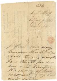 Back of the certificateBack of the conditional certificate, where Joseph Knott gave it to his daughter Jane Knott on 12 June 1840.General Land Office, file 174, page 3 · in the scan
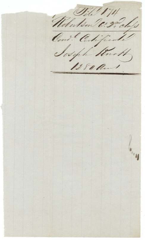
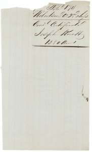 WrapperWrapper for the conditional certificate of Joseph Knott, 1,280 acres, Robertson 2nd Class.General Land Office, file 174, page 4 · in the scan
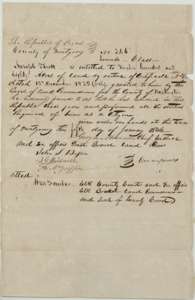 CertificateUnconditional headright certificate No. 346 for 1,280 acres, issued to Joseph Knott by the Montgomery County land board in January 1846.General Land Office, file 174, page 5 · in the scan
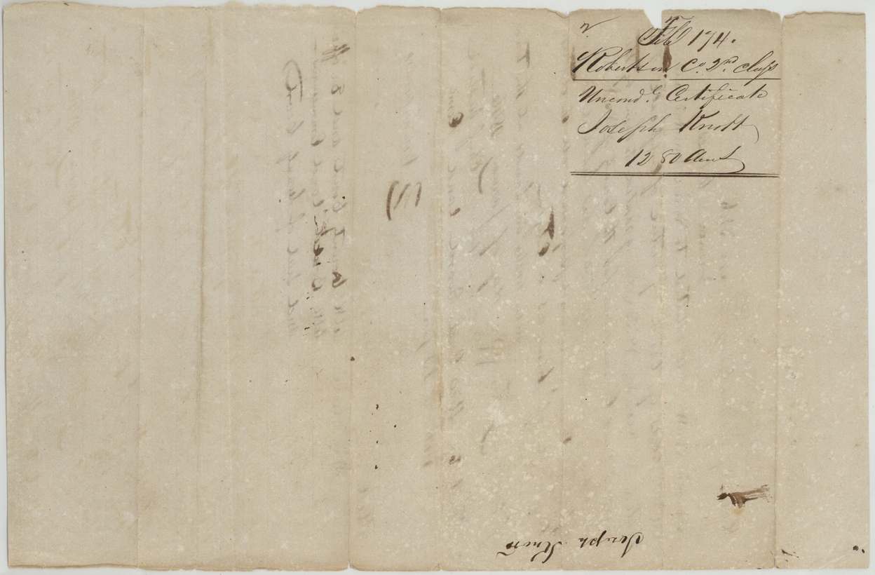
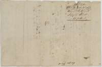 WrapperWrapper for the unconditional certificate of Joseph Knott, 1,280 acres, Robertson 2nd Class.General Land Office, file 174, page 6 · in the scan
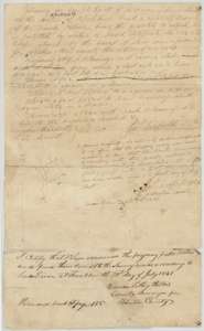 Field notesField notes and sketch plat for 1,280 acres on Post Oak Creek of Richland Creek, surveyed for Joseph Knott by James Scofield and examined 29 July 1841.General Land Office, file 174, page 7 · in the scan
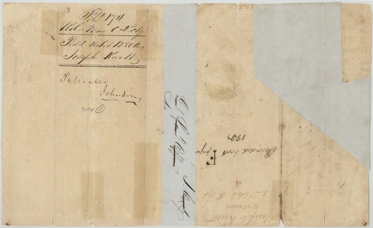
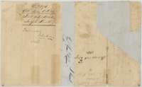 DocketWrapper for the Joseph Knott field notes, marked patented and recorded in Book F, page 185.General Land Office, file 174, page 8 · in the scan
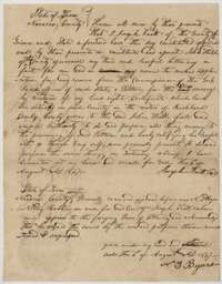 Power of attorneyPower of attorney of 4 August 1847 in which Joseph Knott names John Welch to obtain his patent, with the notary's acknowledgment.General Land Office, file 174, page 9 · in the scan
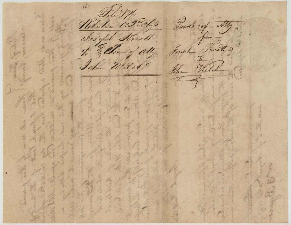
 DocketBack of the power of attorney, with the file docket for Joseph Knott and John Welch.General Land Office, file 174, page 10 · in the scan
Scans courtesy of the Texas General Land Office, Austin, from its Land Grant Database.
Neighbouring surveys
Sources
- Texas General Land Office, Land Grant Database: Navarro County, Abstract 456
- The Land Office file, scanned (PDF, at the General Land Office)
- 1924 map: courtesy of the Texas General Land Office, Austin, Map 73249, used under licence. Topo: U.S. Geological Survey, The National Map. Aerial photographs: U.S. Department of Agriculture, National Agriculture Imagery Program, 2012, 2018 and 2022. Survey outlines: Railroad Commission of Texas, Original Texas Land Survey. Grant records and files: Texas General Land Office.