Blackland TX · ← All the original surveys
Edward Paterson Survey, Abstract 639
- Granted to
- Edward Paterson
- Kind of grant
- Headright, first classLand for settlers who were in Texas before independence, 2 March 1836.
- Land Office file
- Robertson 1st class, file 771
- Certificate
- No. 88
- Acres
- 1286.13
- Patented to
- Edward Paterson
- Patent
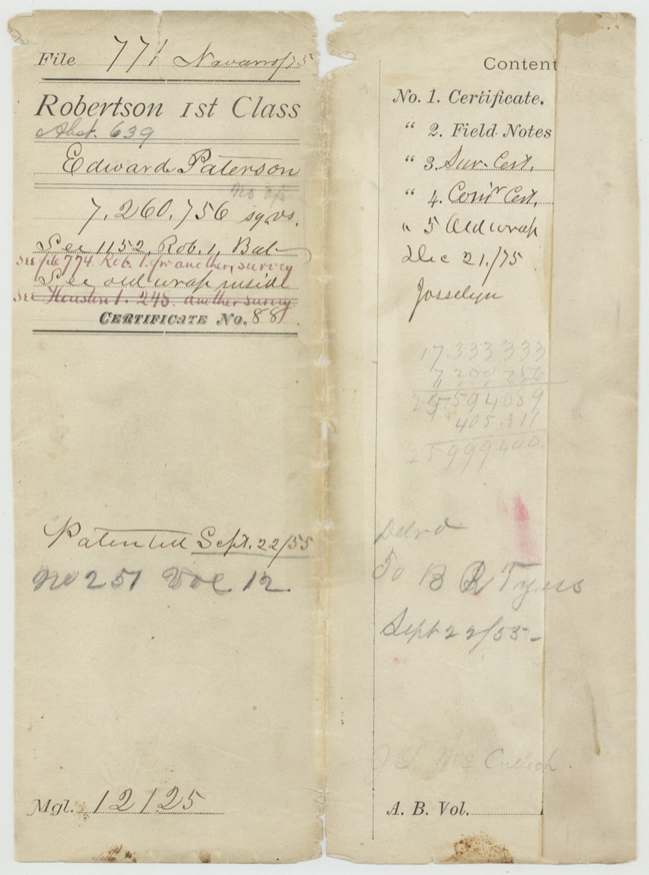
- 22 Sep 1855 · No. 251, Vol. 12
Tap a survey to open its page.
What the file shows
Edward Paterson arrived in Texas in December 1835, a married man, and the Fort Bend County land board gave him a league and a labor on 1 February 1838. Part of the certificate was laid on Post Oak Creek by J. B. Tyus on 26 and 27 October 1853, over ground the district map showed as a J. A. Ramsey survey; the Ramsey warrant had in fact been patented in Kaufman County. The certificate passed from Paterson's side through other hands to B. R. Tyus, and the patent issued on 22 September 1855 and was delivered to him.
The certificate
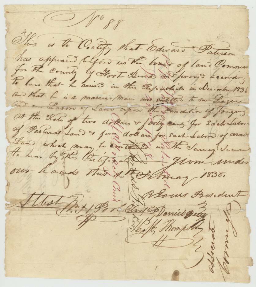
Headright, first class, No. 88, 1 league and 1 labor (part used here: 7,260,756 sq. varas), Board of Land Commissioners, Fort Bend County, Fort Bend County, 1 Feb 1838.
Arrived December 1835; a married man. Conditional on paying $2.40 a labor for pasture land and $5 a labor for farm land.
Changes of hand
- undatedJesse Duren (?) → C. A. McCracken. Recorded on the file jacket
- by 19 Sep 1855C. A. McCracken → B. R. Tyus. Withdrawn by Tyus 19 Sep 1855
The survey
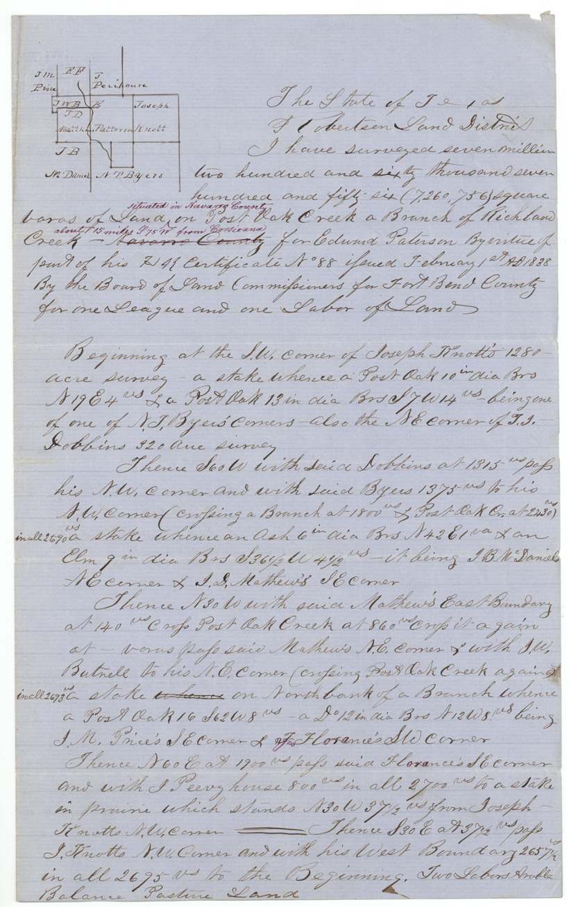
26–27 Oct 1853, J. B. Tyus, Deputy Surveyor, Robertson Land District.
On Post Oak Creek, a branch of Richland Creek, about 15 miles S 75 W of Corsicana; begins at the SW corner of Joseph Knott's 1,280 acres; calls N. T. Byars, S. J. Dobbins, J. B. McDaniel, J. D. Matthews, J. W. Butrell, J. M. Price, Florance and J. Peevyhouse
Chain carriers: B. R. Tyus, John C. McLuistin (?).
Book O, p. 14; examined by C. J. Chambers 27 Feb 1854
The patent
22 Sep 1855, No. 251, Vol. 12, to Edward Paterson, delivered to B. R. Tyus.
Also in the file
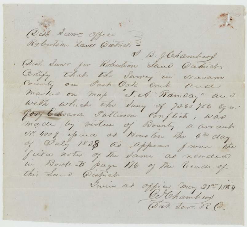
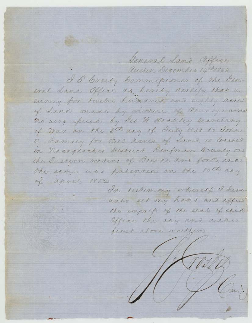
- The district surveyor certified on 21 May 1854 that the 'J. A. Ramsay' survey on the map was made under bounty warrant No. 4009; the GLO certified that warrant had been located and patented in Kaufman County on 10 April 1852.
- The rest of the certificate was located in other surveys (Houston 1st class file 248 and Robertson 1st class file 774).
Timeline
- Dec 1835Paterson arrives in Texas
- 1 Feb 1838Fort Bend board issues certificate No. 88
- 26 Oct 1853Surveyed by J. B. Tyus
- 27 Feb 1854Examined and recorded
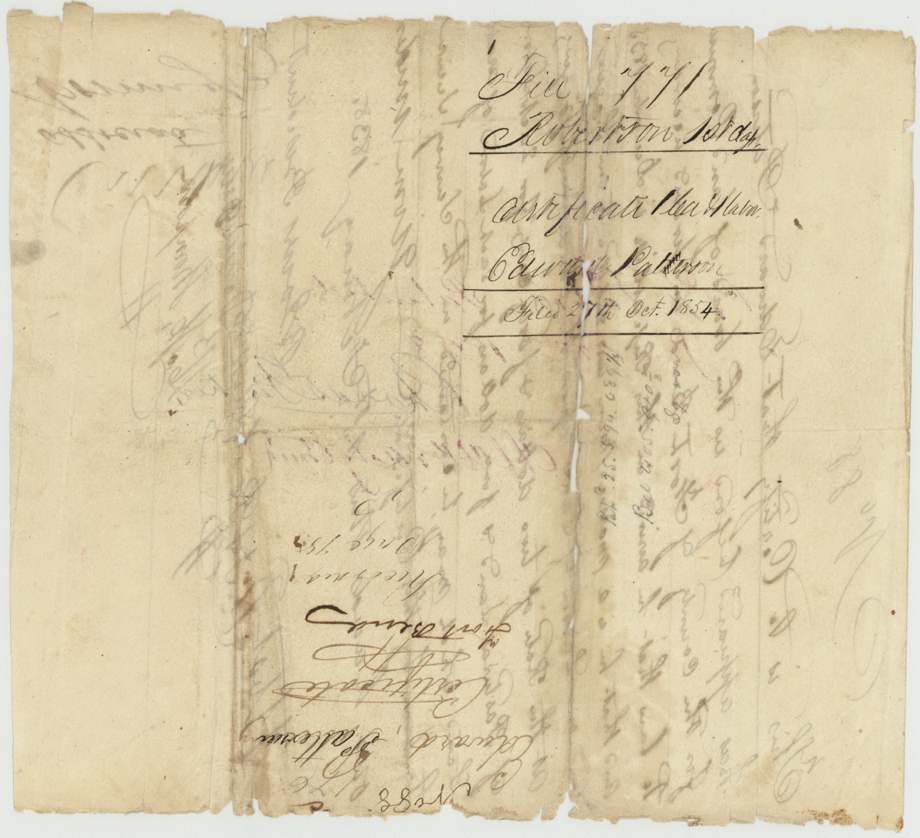
- 27 Oct 1854Certificate filed in the Land Office
- 22 Sep 1855Patented; delivered to B. R. Tyus
The papers in the file
Every page of the Land Office file, in the order the Land Office keeps them (12 pages). Tap a page to see it larger.
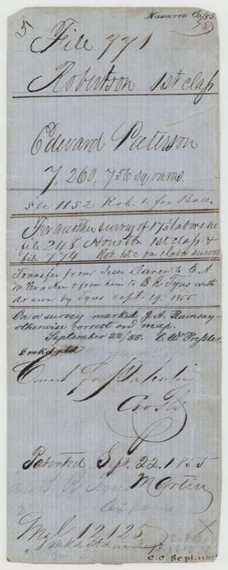
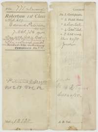 File jacketFile jacket for Edward Paterson's survey in Navarro County, Robertson 1st Class, with the patent entry of 22 September 1855.General Land Office, file 771, page 1 · in the scan
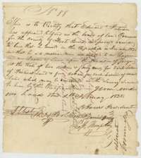 CertificateHeadright certificate No. 88 for one league and one labor, issued to Edward Paterson by the Fort Bend County land board, 1 February 1838.General Land Office, file 771, page 2 · in the scan
 Back of the certificateBack of the Paterson certificate, with the file number and the Land Office filing note of 27 October 1854.General Land Office, file 771, page 3 · in the scan
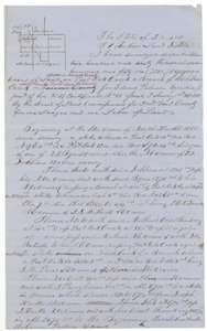 Field notesField notes and sketch of 7,260,756 square varas on Post Oak Creek, Navarro County, surveyed for Edward Paterson by deputy surveyor J. B. Tyus, 26 and 27 October 1853.General Land Office, file 771, page 4 · in the scan
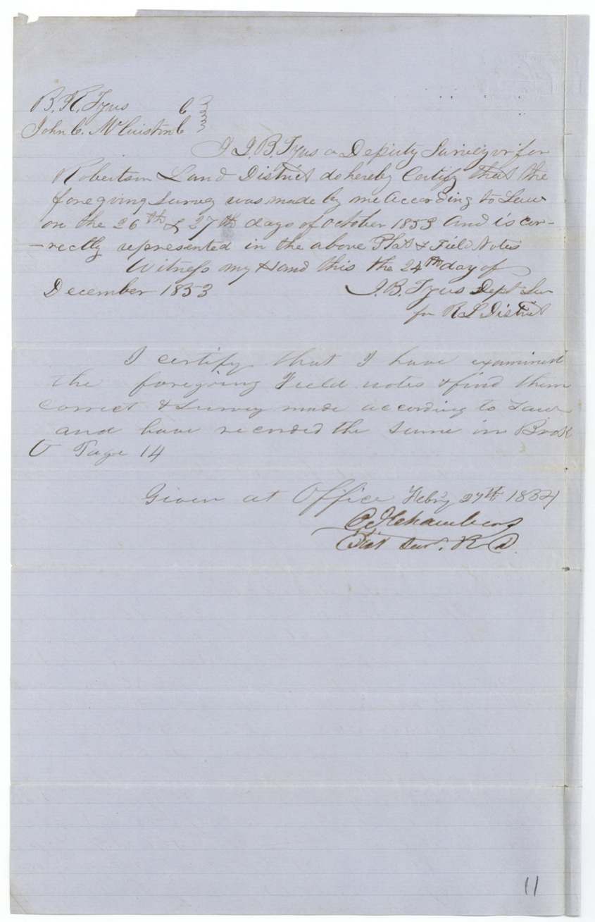
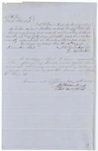 Surveyor's certificateSurveyor's oath of December 1853 and the district surveyor's certificate of 27 February 1854 that the Paterson survey is recorded in Book O, page 14.General Land Office, file 771, page 5 · in the scan
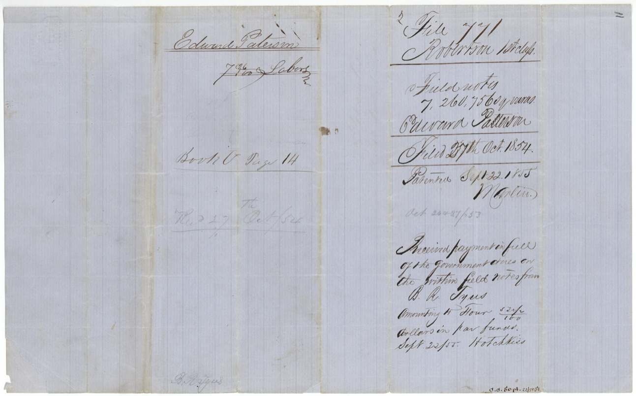
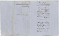 WrapperWrapper for the Paterson field notes, with the record in Book O, page 14, the patent entry of 22 September 1855 and a note on the fees paid.General Land Office, file 771, page 6 · in the scan
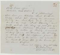 Surveyor's certificateDistrict surveyor's certificate of May 1854 that the survey shown on the map as the Ramsay survey was made under a warrant located at Houston in 1838.General Land Office, file 771, page 7 · in the scan
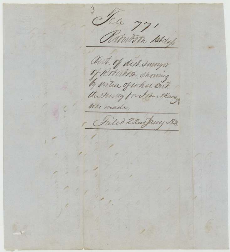
 WrapperWrapper for the district surveyor's certificate on the Ramsay survey.General Land Office, file 771, page 8 · in the scan
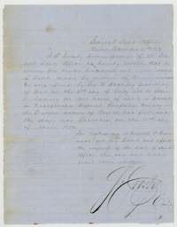 CertificateGeneral Land Office certificate that a survey for 1,280 acres made under a bounty warrant for J. A. Ramsay was located in Kaufman County and patented on 10 April 1852.General Land Office, file 771, page 9 · in the scan
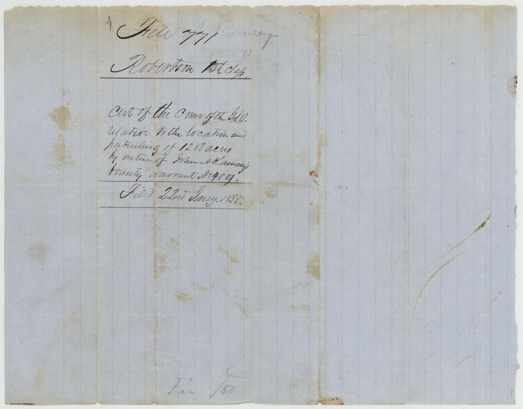
 WrapperWrapper for the Land Office certificate on the Ramsay warrant, concerning the conflict with the Paterson survey.General Land Office, file 771, page 10 · in the scan
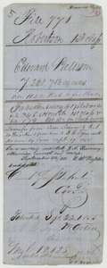 File jacketOlder file jacket for the Paterson file, listing the certificate, field notes and certificates, with the patent entry of 22 September 1855.General Land Office, file 771, page 11 · in the scan
 WrapperBack of a folded wrapper, with faint filing notes.General Land Office, file 771, page 12 · in the scan
Scans courtesy of the Texas General Land Office, Austin, from its Land Grant Database.
Neighbouring surveys
Sources
- Texas General Land Office, Land Grant Database: Navarro County, Abstract 639
- The Land Office file, scanned (PDF, at the General Land Office)
- 1924 map: courtesy of the Texas General Land Office, Austin, Map 73249, used under licence. Topo: U.S. Geological Survey, The National Map. Aerial photographs: U.S. Department of Agriculture, National Agriculture Imagery Program, 2012, 2018 and 2022. Survey outlines: Railroad Commission of Texas, Original Texas Land Survey. Grant records and files: Texas General Land Office.