Blackland TX · ← All the original surveys
John Florence Survey, Abstract 293
- Granted to
- John Florence
- Kind of grant
- Bounty warrantLand paid for service in the army of the Republic.
- Land Office file
- Robertson Bounty, file 343
- Certificate
- No. 732
- Acres
- 640
- Patented to
- John Florence
- Patent
- 19 Dec 1850 · No. 576, Vol. 5
Tap a survey to open its page.
What the file shows
John Florance served six months in the Army of the Republic of Texas, 4 July to 4 December 1836, and was honorably discharged, earning 640 acres of bounty land. C. C. Taylor surveyed his tract in July 1850 on the northern waters of Richland Creek, 15½ miles W by S of Corsicana, between J. A. Ramsey, J. M. Price and John Pevyhouse, using Bounty Warrant No. 420 of 1848. Because Nos. 118 and 420 had been cancelled, Adjutant General Ben F. Hill issued replacement certificate No. 732 at Austin on 29 Nov 1850. The land was patented to Florance himself on 19 Dec 1850 (No. 576 Vol. 5) with no transfers.
The certificate
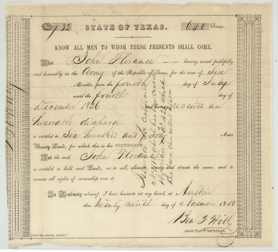
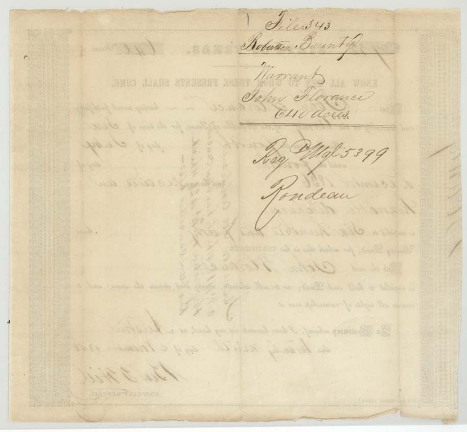
bounty, No. 732 (issued in lieu of No. 118 and No. 420, both cancelled), 640 acres, Ben F. Hill, Adjutant General, Austin, 29 Nov 1850.
John Florance served faithfully and honorably in the Army of the Republic of Texas for six months, from 4 July until 4 December 1836, and received an honorable discharge.
The survey
1850-07-26 (oath dated 1850-07-27), C. C. Taylor.
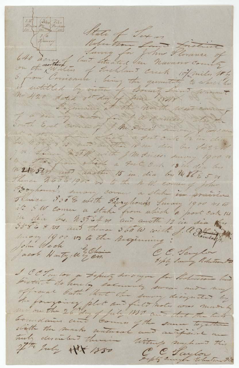
640 acres in Navarro County on the northern waters of Richland Creek, 15½ miles W by S from Corsicana; by virtue of Bounty Land Warrant No. 420 dated 1 June 1848; begins at NW corner of J. A. Ramsey's survey, also SE corner of J. M. Price's 640-acre survey
Chain carriers: John Weck(?), Jacob Hartzell(?).
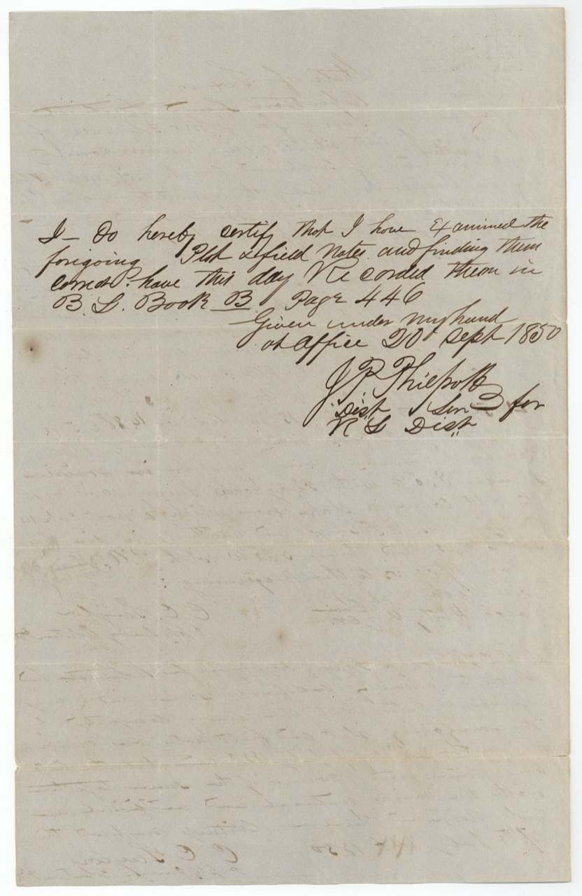
B.L. [Bounty Land] Book B, page 446
The patent
19 Dec 1850, No. 576, Vol. 5, to John Florance, original grantee, delivered to not stated.
Also in the file
- The land was surveyed (July 1850) on Bounty Warrant No. 420 dated 1 June 1848; that warrant and an earlier No. 118 were cancelled, and a replacement, No. 732, was issued 29 Nov 1850 — after the survey and three weeks before patent.
- Grantee indexed as 'Florence'; the file spells it 'Florance' everywhere.
- Survey to patent in under five months — unusually fast.
- No transfers: patented to the soldier himself.
Timeline
- 4 Jul 1836John Florance begins six months' service in the Army of the Republic of Texas
- 4 Dec 1836Service ends with honorable discharge
- 1 Jun 1848Bounty Land Warrant No. 420 dated (later cancelled)
- 26 Jul 1850C. C. Taylor surveys 640 acres on northern waters of Richland Creek, 15½ mi W by S of Corsicana
- 20 Sep 1850J. P. Philpott records field notes in B.L. Book B p. 446
- 29 Nov 1850Adjutant General Ben F. Hill issues replacement bounty certificate No. 732 at Austin
- 10 Dec 1850Correct on GLO map (Creuzbaur)
- 19 Dec 1850Patent No. 576 Vol. 5 to John Florance
The papers in the file
Every page of the Land Office file, in the order the Land Office keeps them (6 pages). Tap a page to see it larger.
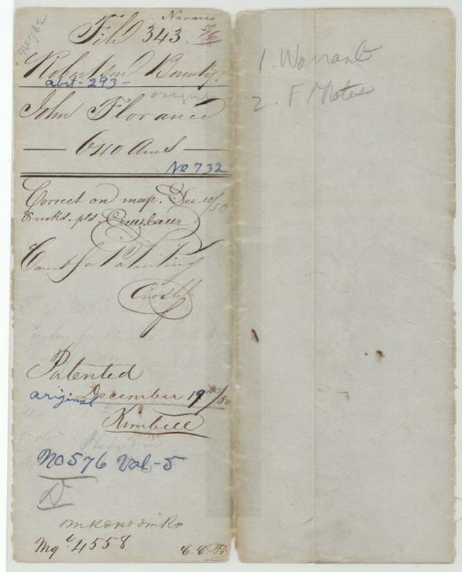
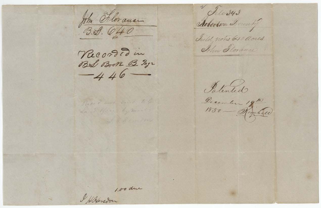
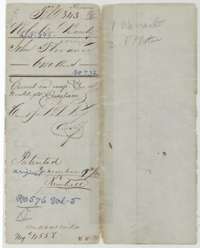 File jacketFile jacket for John Florance's 640 acres in Navarro County, Robertson Bounty, with the patent entry of 19 December 1850.General Land Office, file 343, page 1 · in the scan
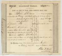 CertificateBounty land warrant No. 732 for 640 acres, issued at Austin on 29 November 1850 to John Florance for six months' service in 1836.General Land Office, file 343, page 2 · in the scan
 Back of the certificateBack of the Florance warrant, marked File 343, Robertson Bounty, with the register note.General Land Office, file 343, page 3 · in the scan
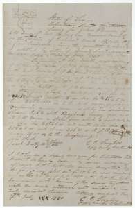 Field notesField notes and sketch of 640 acres on the northern waters of Richland Creek, Navarro County, surveyed for John Florance by deputy surveyor C. C. Taylor, 26 July 1850.General Land Office, file 343, page 4 · in the scan
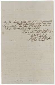 Surveyor's certificateDistrict surveyor J. P. Philpott's certificate of 20 September 1850 that the Florance field notes are correct and recorded in Bounty Land Book B, page 446.General Land Office, file 343, page 5 · in the scan
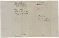 WrapperWrapper for the Florance field notes, recorded in Bounty Land Book B, page 446, with the patent entry of 19 December 1850.General Land Office, file 343, page 6 · in the scan
Scans courtesy of the Texas General Land Office, Austin, from its Land Grant Database.
On this ground today
- CemeteryJames & Sarah Green Cemetery
Places that stand inside this survey’s lines as the state’s survey map draws them.
Neighbouring surveys
Sources
- Texas General Land Office, Land Grant Database: Navarro County, Abstract 293
- The Land Office file, scanned (PDF, at the General Land Office)
- 1924 map: courtesy of the Texas General Land Office, Austin, Map 73249, used under licence. Topo: U.S. Geological Survey, The National Map. Aerial photographs: U.S. Department of Agriculture, National Agriculture Imagery Program, 2012, 2018 and 2022. Survey outlines: Railroad Commission of Texas, Original Texas Land Survey. Grant records and files: Texas General Land Office.