Blackland TX · ← All the original surveys
Jesse W. Buttrel Survey, Abstract 82
- Granted to
- Jesse W. Buttrel
- Kind of grant
- Headright, third classLand for later settlers, including the colonists of Mercer’s Colony.
- Land Office file
- Robertson 3rd class, file 63
- Certificate
- No. 15
- Acres
- 320
- Patented to
- David Seely
- Patent
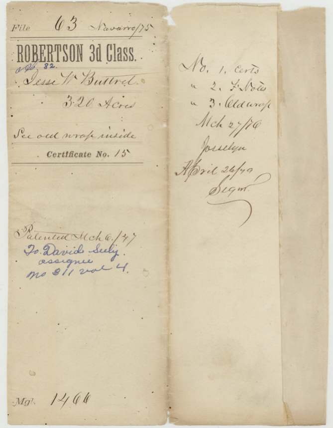
- 06 Mar 1847 · No. 311, Vol. 4
Tap a survey to open its page.
What the file shows
Jesse W. Buttrel received a conditional 320-acre third-class headright, certificate No. 15, from the Robertson County board at Franklin on 3 Oct 1842 under the 1839 act for late emigrants. County Surveyor C. C. Taylor surveyed it on 29 May 1844 on branches of Richland Creek, six miles north of the creek, adjoining Matthews, Ramsey and Prewitt, with David Seely as a chain carrier. Buttrel sold the certificate to Seely for $100 on 25 Oct 1845, and because the land lay in the Mercer colony claim, Taylor certified in March 1846 that the survey predated his notice of Mercer's contract. The patent issued to David Seely, assignee, on 6 Mar 1847 (No. 311, Vol. 4).
The certificate
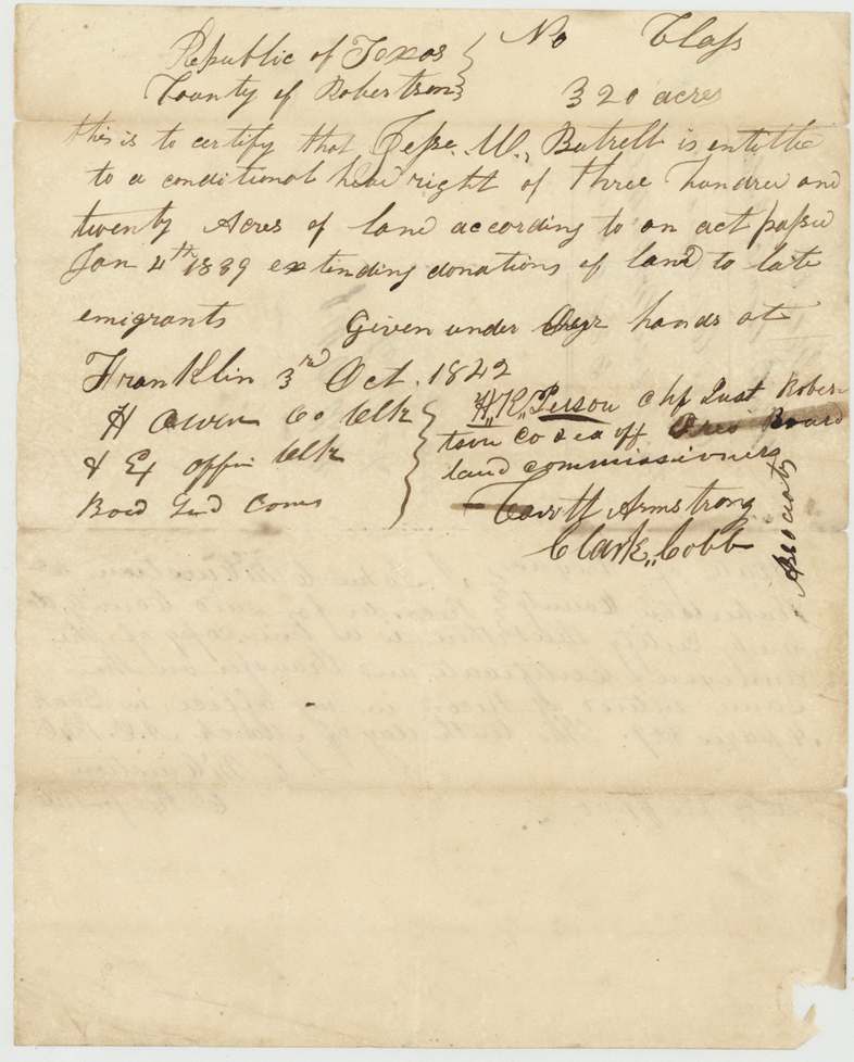
headright 3rd class, No. 15, 320 acres, Board of Land Commissioners, Robertson County: H. R. Person(?), Chief Justice Robertson Co. & ex officio President; H. Owen(?), Co. Clerk & ex officio Clerk; Garrett(?) Armstrong and Clark Cobb, Associates, Franklin [Robertson County], 3 Oct 1842 (year's last digit read as 2).
Conditional headright of 320 acres 'according to an act passed Jan 4th 1839 extending donations of land to late emigrants' (i.e. late arrival, single-man quantity); no arrival date or family status stated on the certificate
Changes of hand
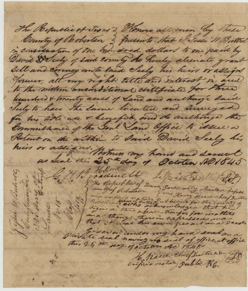
- 25 Oct 1845Jesse W. Buttrel (signs 'Jesse W. Buttrel') → David Seely, of Robertson County, $100, Robertson County, Republic of Texas. Conveys all right, title and interest in 'the within unconditional certificate' for 320 acres; authorises Seely to locate and survey for his own use and the GLO Commissioner to issue patent to Seely
The survey
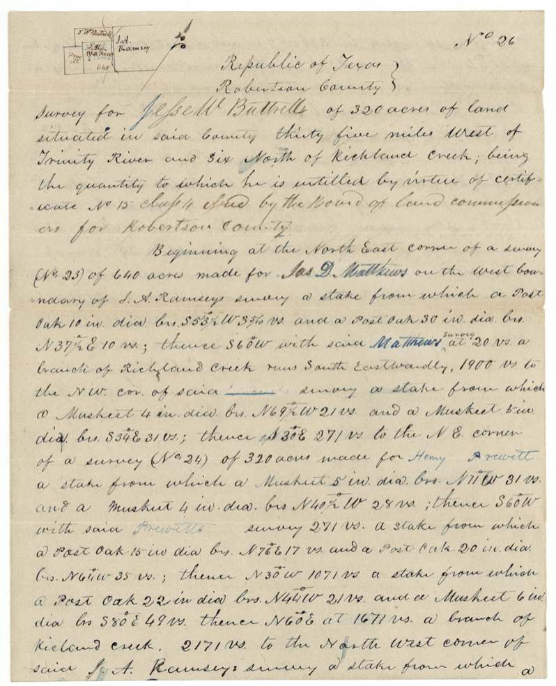
1844-05-29 (sworn 13 Jun 1845), C. C. Taylor.
Survey No. 26 'situated in said county thirty five miles West of Trinity River and six North of Richland Creek'; begins at NE corner of survey No. 23 (640 acres) made for Jas. D. Matthews on the west boundary of J. A. Ramsey's survey; crosses branches of Richland Creek; lines 1900 vrs, 271 vrs, 271 vrs, 1071 vrs, 2171 vrs, 800 vrs; bearing trees post oak and 'musket' (mesquite)
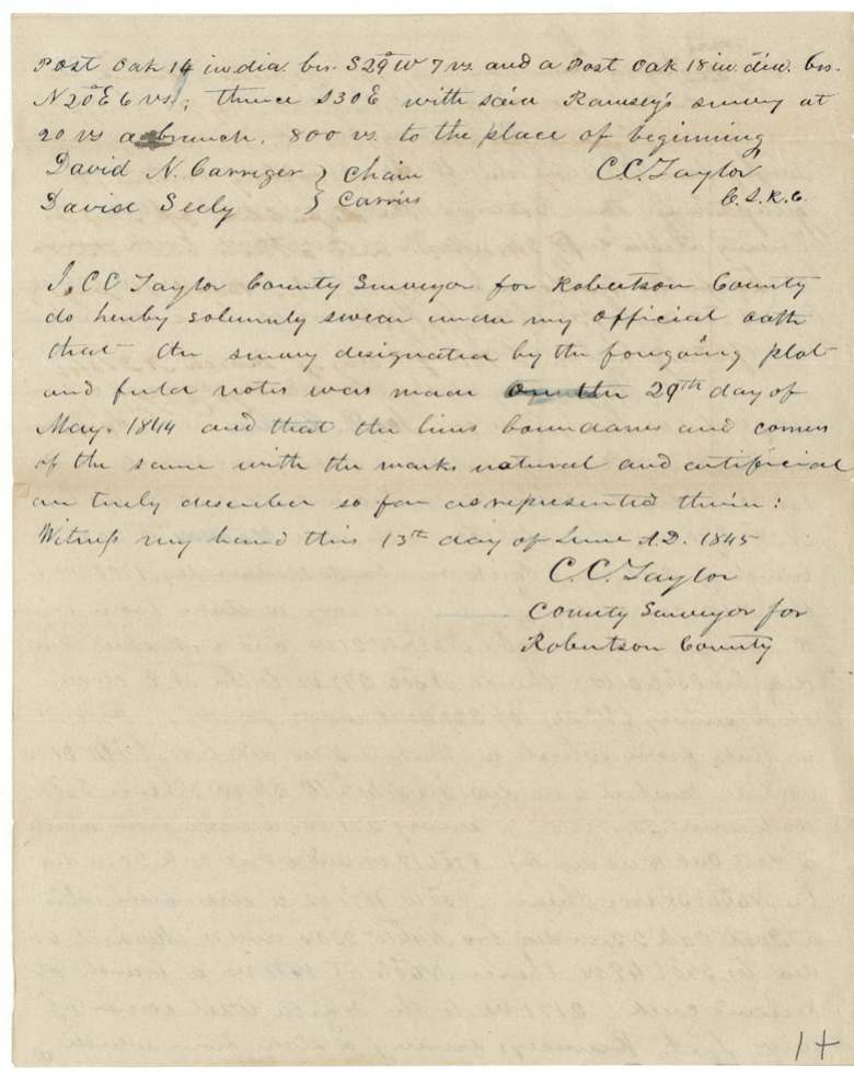
Chain carriers: David N. Carriger, David Seely.
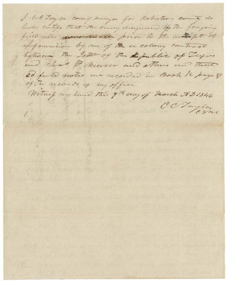
Book K, page 87, Robertson County surveyor's records (certified 9 Mar 1846)
The patent
6 Mar 1847, No. 311, Vol. 4, to David Seely, assignee.
Also in the file
- Certificate calls the right 'conditional'; the transfer of 25 Oct 1845 calls it 'unconditional'
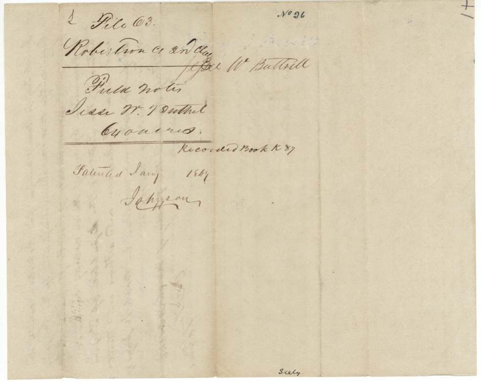
- Field-notes jacket says 'Robertson Co 2nd Clas' and '640 acres'; certificate, survey and file are 320 acres, 3rd class
- Survey made 29 May 1844, seventeen months before Buttrel sold the certificate to Seely — and Seely himself carried the chain
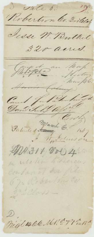
- Land fell within the claimed Mercer colony; surveyor had to certify survey predated his notice of the Mercer contract; 'Mercer's Colony' struck through on wrapper
- Field notes cite 'class 4(?)' for certificate No. 15
Timeline
- 4 Jan 1839Act extending land donations to late emigrants (cited basis)
- 3 Oct 1842Robertson County Board issues conditional certificate No. 15, 320 acres, at Franklin
- 29 May 1844C. C. Taylor surveys No. 26; David Seely a chain carrier
- 13 Jun 1845Taylor swears to the survey
- 25 Oct 1845Buttrel sells certificate to David Seely for $100 before Henry Reed
- 9 Mar 1846Taylor certifies survey predates Mercer contract notice; field notes recorded Book K p. 87
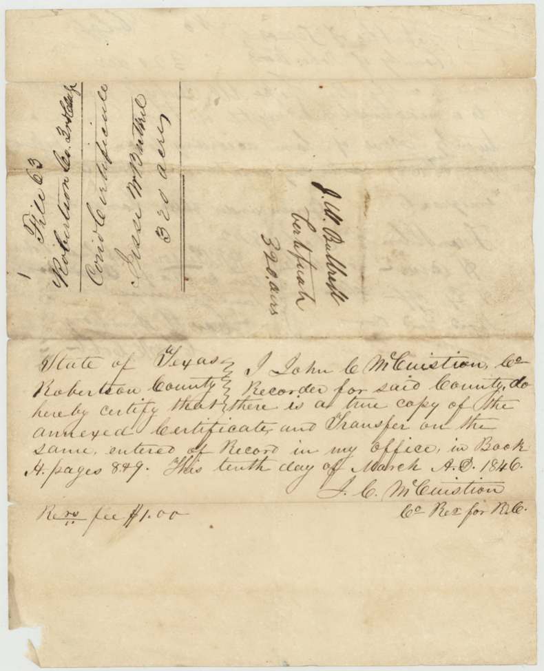
- 10 Mar 1846Certificate and transfer recorded by County Recorder McCuistion
- Nov 1846Compared/checked on map (wrapper note, Nov /46)
- 6 Mar 1847Patent No. 311 Vol. 4 to David Seely, assignee
The papers in the file
Every page of the Land Office file, in the order the Land Office keeps them (9 pages). Tap a page to see it larger.
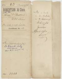 File jacketFile jacket for Jesse W. Buttrel's 320-acre headright, certificate No. 15, patented to David Seely on 6 March 1847.General Land Office, file 63, page 1 · in the scan
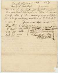 CertificateConditional headright certificate No. 15 issued at Franklin on 3 October 1842 by the Robertson County land board to Jesse W. Buttrel for 320 acres.General Land Office, file 63, page 2 · in the scan
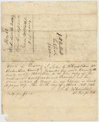 Back of the certificateBack of the certificate, with the county recorder's certificate of 10 March 1846 that the certificate and transfer are recorded.General Land Office, file 63, page 3 · in the scan
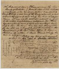 TransferTransfer of 25 October 1845 in which Jesse W. Buttrel sold his 320-acre certificate to David Seely for $100, acknowledged before Henry Reed.General Land Office, file 63, page 4 · in the scan
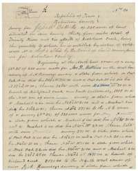 Field notesField notes and plat of Survey No. 26, 320 acres near Richland Creek, made for Jesse W. Buttrel by county surveyor C. C. Taylor on 29 May 1844.General Land Office, file 63, page 5 · in the scan
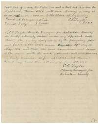 Field notesClose of the field notes, with C. C. Taylor's oath of 13 June 1845 that the survey was made on the ground.General Land Office, file 63, page 6 · in the scan
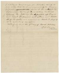 Surveyor's certificateCounty surveyor C. C. Taylor's certificate of March 1846 that the survey was made before he learned of the Mercer colony contract, recorded in Book K, page 87.General Land Office, file 63, page 7 · in the scan
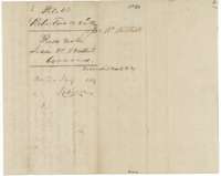 WrapperField-notes wrapper for Jesse W. Buttrel's survey, recorded in Book K, page 87, and marked patented in 1847.General Land Office, file 63, page 8 · in the scan
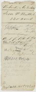 WrapperOld wrapper for Buttrel's 320 acres, marked correct for patenting to David Seely, assignee, patent No. 311, Volume 4.General Land Office, file 63, page 9 · in the scan
Scans courtesy of the Texas General Land Office, Austin, from its Land Grant Database.
Neighbouring surveys
Sources
- Texas General Land Office, Land Grant Database: Navarro County, Abstract 82
- The Land Office file, scanned (PDF, at the General Land Office)
- 1924 map: courtesy of the Texas General Land Office, Austin, Map 73249, used under licence. Topo: U.S. Geological Survey, The National Map. Aerial photographs: U.S. Department of Agriculture, National Agriculture Imagery Program, 2012, 2018 and 2022. Survey outlines: Railroad Commission of Texas, Original Texas Land Survey. Grant records and files: Texas General Land Office.