Blackland TX · ← All the original surveys
Frederick Grimes Survey, Abstract 297
- Granted to
- Frederick Grimes
- Kind of grant
- Headright, first classLand for settlers who were in Texas before independence, 2 March 1836.
- Land Office file
- Robertson 1st class, file 263
- Acres
- 2498.49
- Patented to
- Frederick Grimes
- Patent
- 24 Aug 1846 · No. 120, Vol. 5
Tap a survey to open its page.
What the file shows
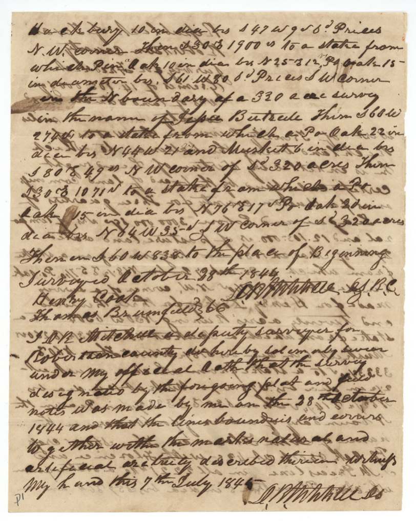
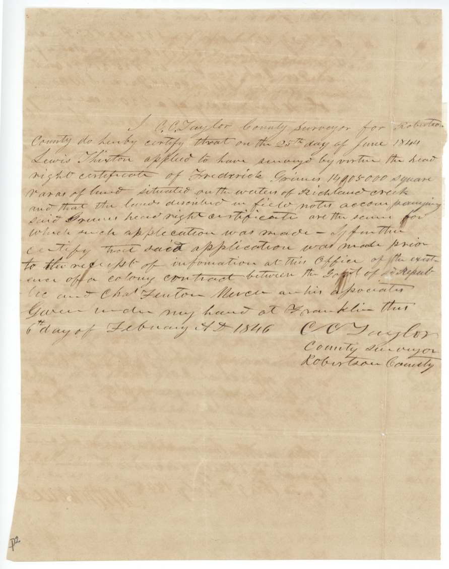
Frederick Grimes proved before the Austin County board at San Felipe in March 1838 that he had arrived before 1835, had married since the Declaration of Independence and had served a tour of duty, and received a conditional headright of three-quarters of a league and a labor. Part was surveyed in Austin County in 1838; the remaining 14,105,000 square varas was applied for in June 1844 and surveyed by D. R. Mitchell that October on the waters of Richland Creek, thirty-four miles west of the Trinity, beside Prewitt, Florence and Price. Because the land fell inside Mercer's Colony, the Robertson County surveyor certified that the location was made before notice of the Mercer contract arrived. Grimes, also administrator of Henry Farley's estate, appointed Robert McNutt his attorney, and the patent issued on 24 August 1846 and was delivered to McNutt.
The certificate
headright 1st class, No. not stated, three-quarters of a league and one labor (19,750,000 sq. varas); this survey is the balance, 14,105,000 sq. varas, Board of Land Commissioners for Austin County — Robert Kleberg, J. La Fayette Hill(?) and a third member (signature unclear); attest Louis Kleberg, Clerk, San Felipe de Austin, Austin County, 29 Mar 1838.
Proved he arrived in the country previous to the year 1835 [sic, 'previous of the year 1835']; a man of family, entitled to three-quarters of a league and one labor, having married since the Declaration of Independence, and having served a tour of duty and received an honorable discharge
Changes of hand
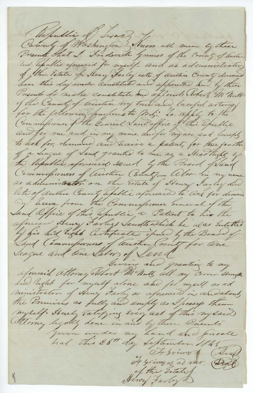
- 26 Sep 1845Frederick Grimes of Austin County, for himself and as administrator of the estate of Henry Farley deceased, late of Austin County → Robert McNutt of Austin County (attorney in fact, not a sale), none — power of attorney, Washington County. Power to demand and receive the patent for Grimes's three-fourths league headright, and also the patent for Henry Farley's league-and-labor headright issued by the Austin County board. Signed 'F. Grimes' and 'F. Grimes as admr. of the estate of Henry Farley'.
The survey
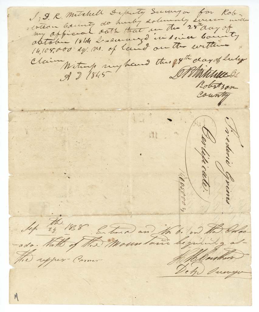
1844-10-28 (sworn 1845-07-07), D. R. Mitchell, Deputy Surveyor, Robertson County.
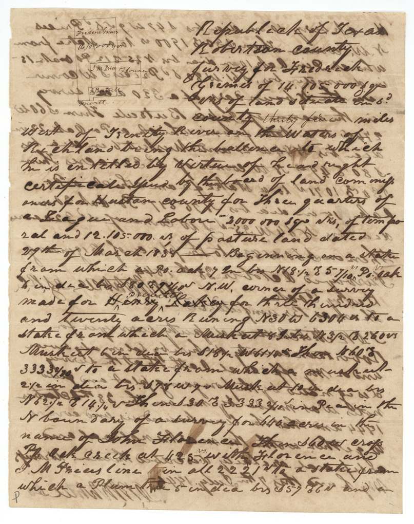
Robertson County [now Navarro], thirty-four miles west of Trinity River on the waters of Richland [Creek]; crosses Post Oak Creek
Chain carriers: Henry Cook, Thomas Brumfield.
Book H, pages 117 and 118
The patent
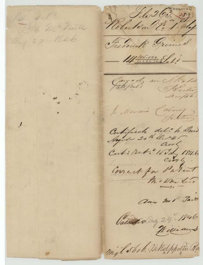
24 Aug 1846, No. 120, Vol. 5, to Frederick Grimes, delivered to Robt. McNutt, Aug 27 1846.
Also in the file
- The land lay inside Mercer's Colony. The county surveyor certified twice that the location was applied for in June 1844, before his office knew of the Mercer contract — the point that let a Republic headright stand inside the colony.
- Grimes split his headright: part (5,645,000 sq. varas) was surveyed in Austin County in 1838, and the rest was carried up to the Richland Creek country in 1844.
- An 1838 entry places the certificate 'on the Colorado north of the mountain', apparently an earlier attempted location.
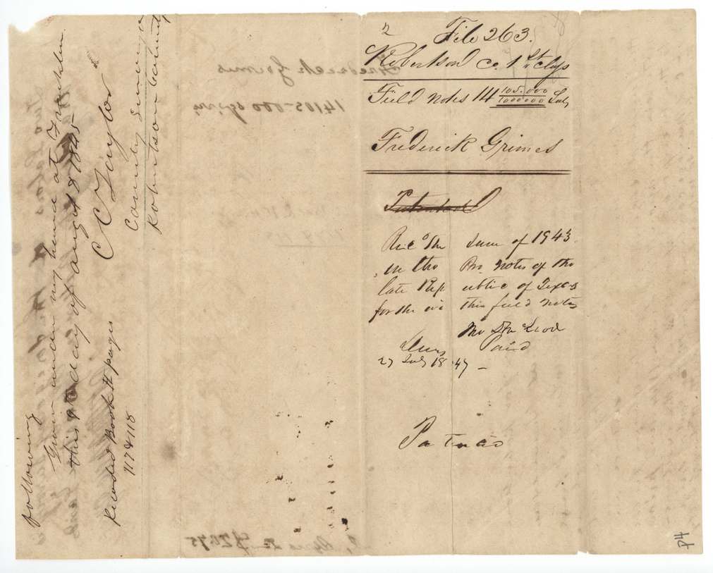
- The survey fees were paid in promissory notes of the 'late Republic of Texas' after annexation.
- Grimes was also administrator of Henry Farley's estate and used one power of attorney for both headrights.
Timeline
- 29 Mar 1838Austin County board grants Frederick Grimes a conditional 1st-class headright of 3/4 league and a labor, at San Felipe de Austin
- 17 Apr 18385,645,000 sq. varas surveyed in Austin County on the certificate
- 24 Sep 1838Entry made 'on the Colorado north of the mountain'
- 25 Jun 1844Lewis Thixton(?) applies to locate the balance on Richland Creek, Robertson County
- 28 Oct 1844D. R. Mitchell surveys 14,105,000 sq. varas on Richland waters, 34 miles west of the Trinity
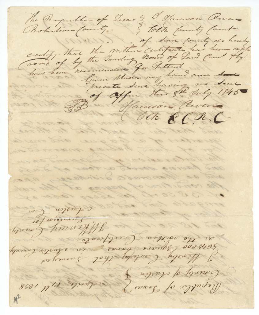
- 8 Jul 1845Traveling Board approval of the certificate certified; recommended for patent
- 20 Aug 1845Certificate delivered out of the land office (to Davis?)
- 26 Sep 1845Grimes gives Robert McNutt power of attorney, Washington County
- 15 Jan 1846Certificate returned to the land office
- 6 Feb 1846C. C. Taylor certifies the location predated notice of Mercer's contract
- 24 Aug 1846Patent No. 120 Vol. 5 to Frederick Grimes
- 27 Aug 1846Patent delivered to Robert McNutt
The papers in the file
Every page of the Land Office file, in the order the Land Office keeps them (14 pages). Tap a page to see it larger.
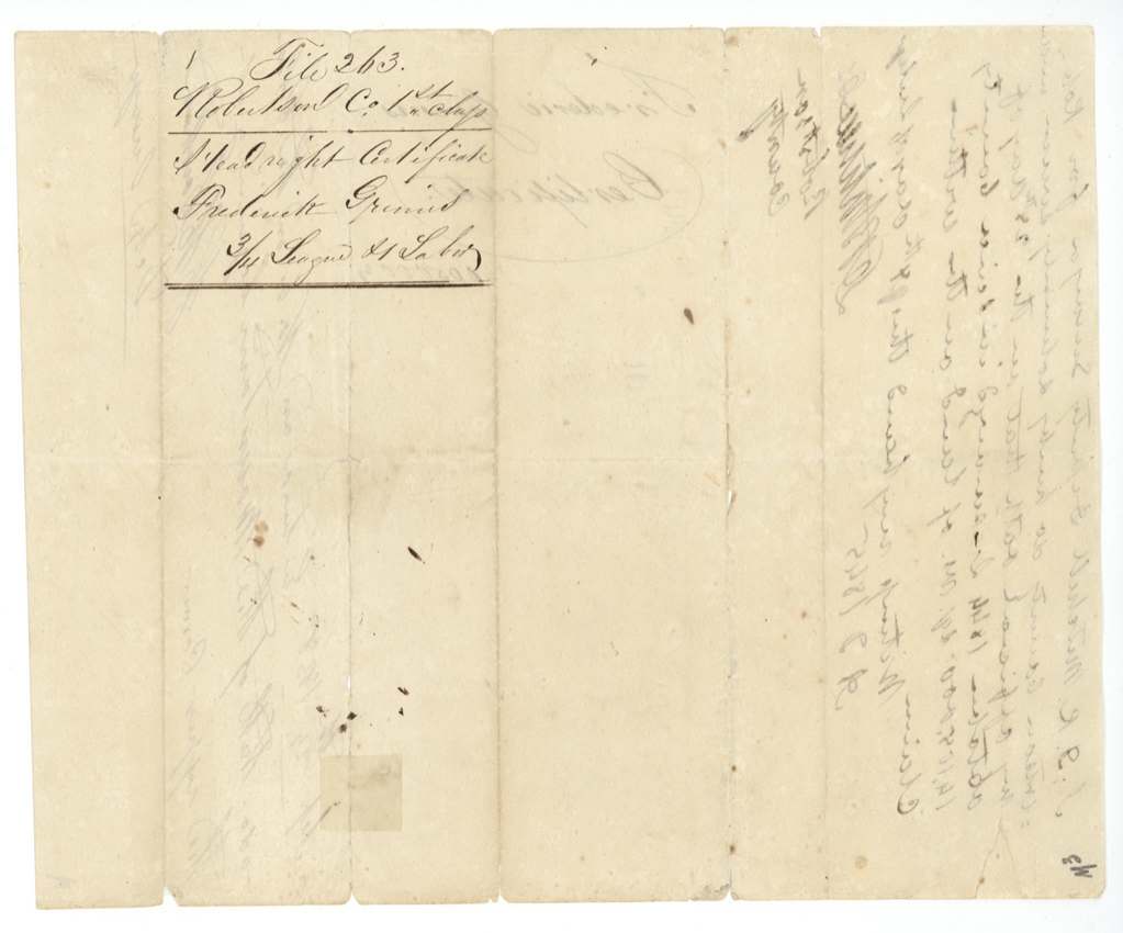
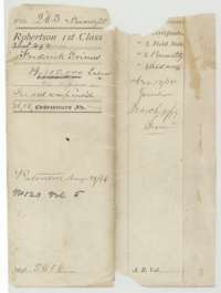 File jacketFile jacket for Frederick Grimes's first-class headright file, with the patent note of 24 August 1846.General Land Office, file 263, page 1 · in the scan
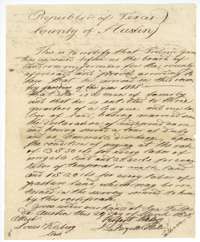 CertificateHeadright certificate of 29 March 1838 from the Austin County land board for Frederick Grimes, three-quarters of a league and one labor.General Land Office, file 263, page 2 · in the scan
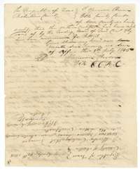 Back of the certificateBack of the certificate, with the Robertson County clerk's certification of 8 July 1845 recommending it for patent.General Land Office, file 263, page 3 · in the scan
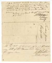 Surveyor's certificateDeputy surveyor D. R. Mitchell's sworn statement that 14,105,000 square varas were surveyed for Frederick Grimes, with a 1838 entry on the Colorado.General Land Office, file 263, page 4 · in the scan
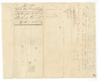 WrapperBack of the surveyor's statement, with a filing note for the Robertson County field notes of Frederick Grimes.General Land Office, file 263, page 5 · in the scan
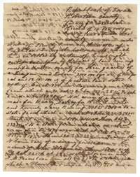 Field notesFirst page of field notes for 14,105,000 square varas on Richland Creek, surveyed for Frederick Grimes by D. R. Mitchell, 28 October 1844.General Land Office, file 263, page 6 · in the scan
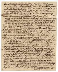 Field notesSecond page of the Grimes field notes, ending with Mitchell's sworn certificate of 7 July 1845.General Land Office, file 263, page 7 · in the scan
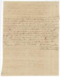 Surveyor's certificateCounty Surveyor C. C. Taylor's certificate of 6 February 1846 that the Grimes land was applied for in June 1844, before the Mercer colony contract was known.General Land Office, file 263, page 8 · in the scan
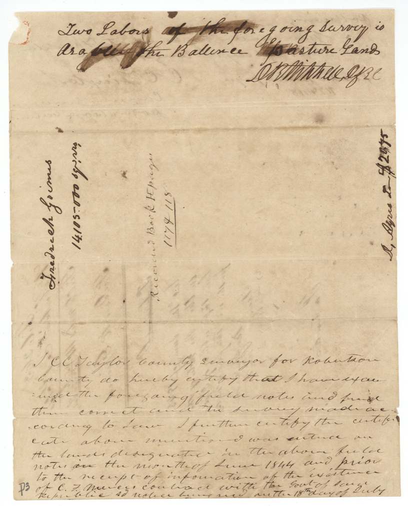
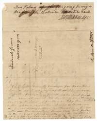 Surveyor's certificateEnd of the Grimes field notes noting two labors of arable land, with the county surveyor's examination certificate.General Land Office, file 263, page 10 · in the scan
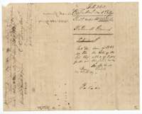 WrapperFiling wrapper for the Grimes field notes, with a note of receipt of the patent fee.General Land Office, file 263, page 11 · in the scan
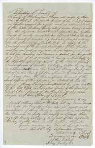 Power of attorneyPower of attorney of 26 September 1845 from Frederick Grimes to Robert McNutt to collect the patents on Grimes's and Henry Farley's headrights.General Land Office, file 263, page 12 · in the scan
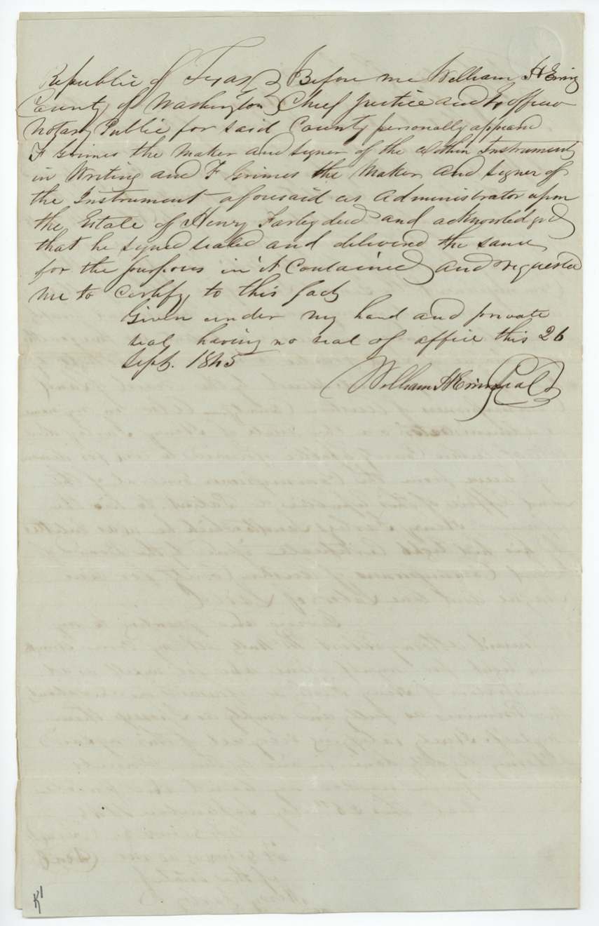
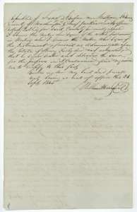 Power of attorneyCertificate of 26 September 1845 from the Washington County chief justice that Frederick Grimes signed the power of attorney.General Land Office, file 263, page 13 · in the scan
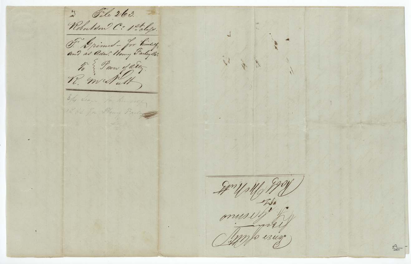
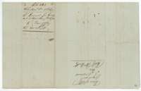 WrapperBack of the power of attorney, with the Land Office filing note for Frederick Grimes and Robert McNutt.General Land Office, file 263, page 14 · in the scan
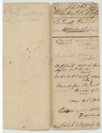 WrapperFiling wrapper for the Grimes file, with notes on delivery of the certificate and the patent of 24 August 1846.General Land Office, file 263, page 15 · in the scan
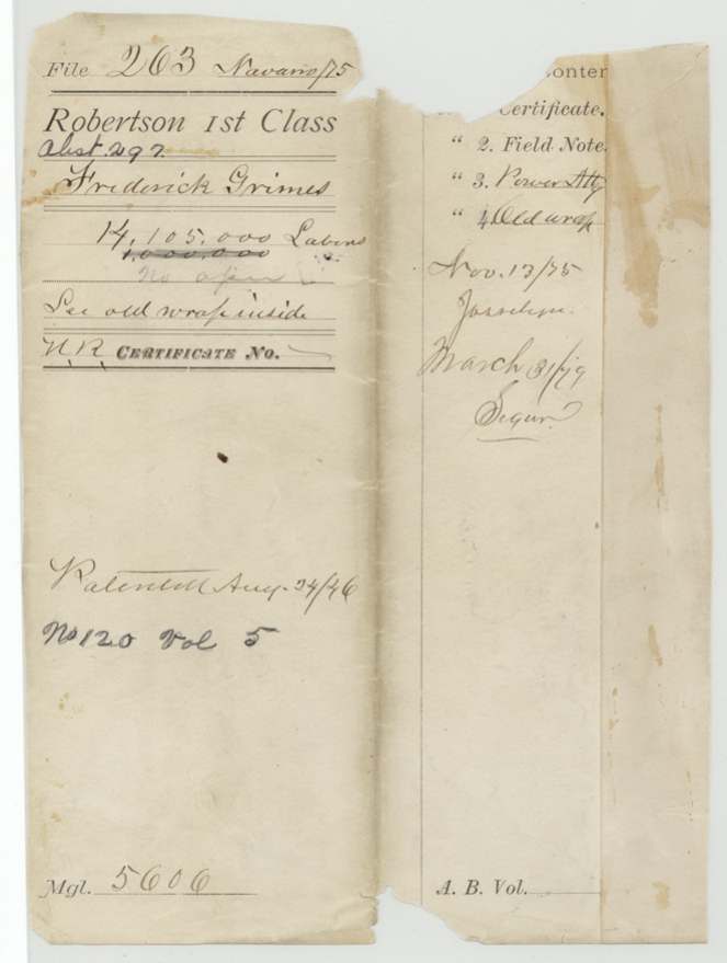
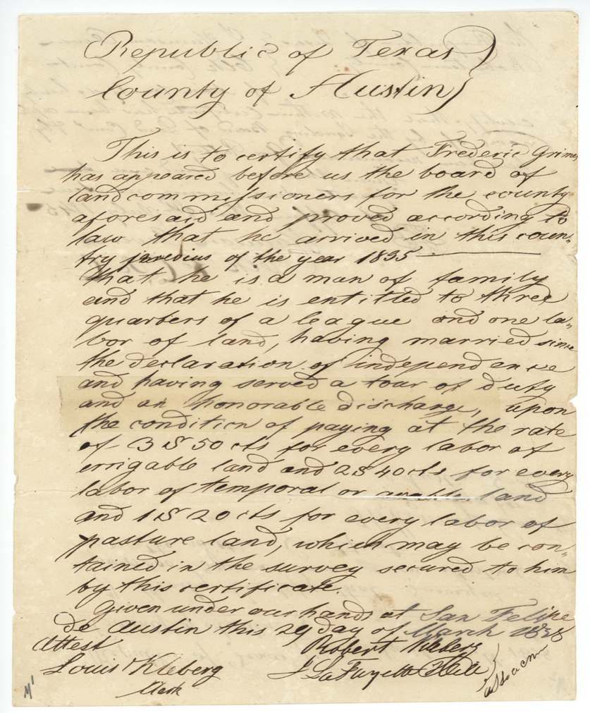
Scans courtesy of the Texas General Land Office, Austin, from its Land Grant Database.
On this ground today
- CemeteryNew Pevehouse Cemetery
Places that stand inside this survey’s lines as the state’s survey map draws them.
Neighbouring surveys
Sources
- Texas General Land Office, Land Grant Database: Navarro County, Abstract 297
- The Land Office file, scanned (PDF, at the General Land Office)
- 1924 map: courtesy of the Texas General Land Office, Austin, Map 73249, used under licence. Topo: U.S. Geological Survey, The National Map. Aerial photographs: U.S. Department of Agriculture, National Agriculture Imagery Program, 2012, 2018 and 2022. Survey outlines: Railroad Commission of Texas, Original Texas Land Survey. Grant records and files: Texas General Land Office.