Blackland TX · ← All the original surveys
Jos H. Powell Survey, Abstract 657
- Granted to
- Jos H. Powell
- Kind of grant
- Headright, third classLand for later settlers, including the colonists of Mercer’s Colony.
- Land Office file
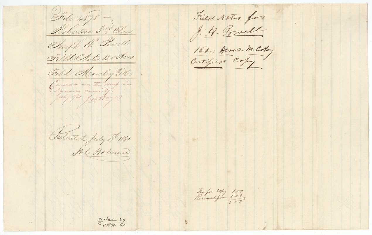
- Robertson 3rd class, file 4878
- Certificate
- No. 0/48
- Acres
- 120
- Patented to
- Joseph H. Powell
- Patent
- 11 Jul 1861 · No. 36, Vol. 35
Tap a survey to open its page.
What the file shows
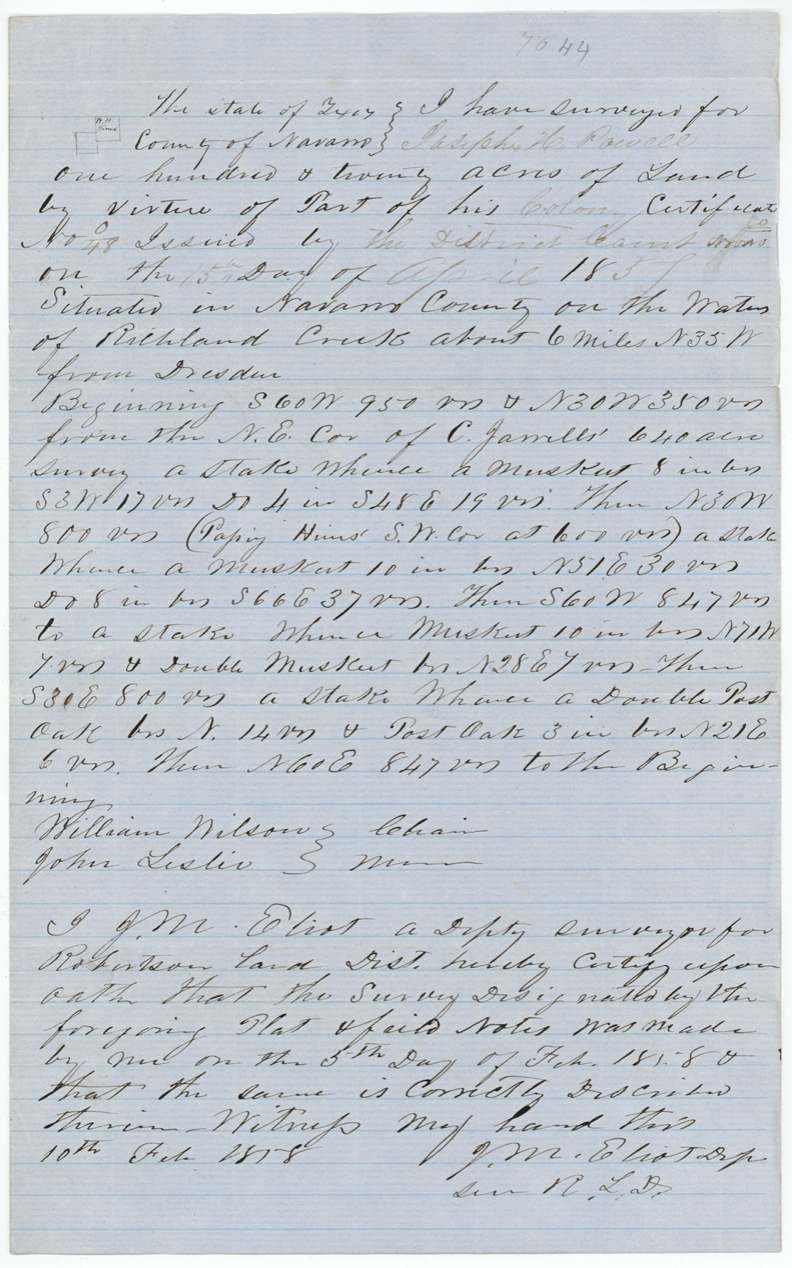
Joseph H. Powell held a colony certificate, No. 48, issued by the Navarro County District Court on 15 April 1857. Deputy surveyor J. M. Eliot located 120 acres of it on the waters of Richland Creek about six miles northwest of Dresden in February 1858. The field notes had to be renewed through a certified copy in 1859-60, and Powell himself received the patent on 11 July 1861.
The certificate
headright 3rd class, No. No. 48 (written 'No 2/48' in the field notes), 160 (per the certified-copy docket, 'M. Colony'); 120 located here, District Court of Navarro County, Navarro County, 15 Apr 1857.
A 'colony certificate' (docket: Mercer's Colony); the certificate itself is not in this file - jacket says 'For certificate see file 5000 Rob. 3, No. 48'
The survey
1858-02-05 (certified 1858-02-10), J. M. Eliot, Deputy Surveyor, Robertson Land District.
Navarro County, waters of Richland Creek, about 6 miles N 35 W from Dresden; the certified copy adds 'and about 19½ miles S 85 W from Corsicana'
Chain carriers: William Wilson, John Leslie.
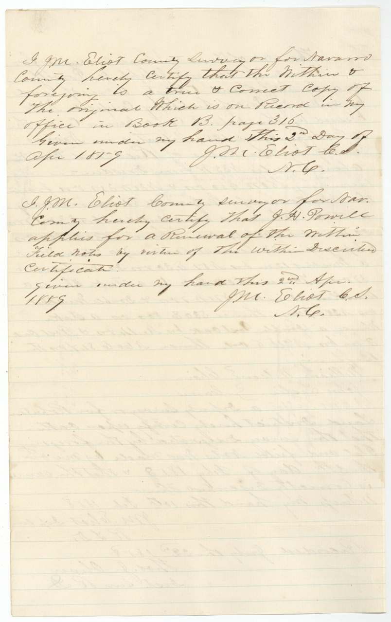
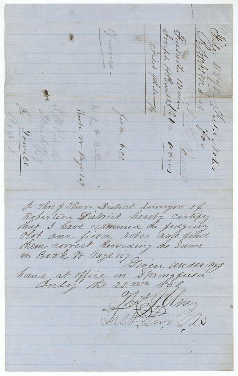
Robertson District Book N, page 167 (docket pencil may read 169); Navarro County surveyor's Book B, page 316
The patent
11 Jul 1861, No. 36, Vol. 35, to Joseph H. Powell, delivered to W. Pickett(?) (name at foot of jacket).
Also in the file
- J. M. Eliot made the survey as a deputy for Robertson District in 1858 and then, a year later as Navarro County Surveyor, certified his own work and Powell's request to renew it.
- The field notes had to be renewed in 1859 and re-filed in 1860, which suggests the first filing lapsed under the deadline for returning field notes.
- The Corsicana distance ('19½ miles S 85 W') was added to the copy but not to the original field notes.
Timeline
- 15 Apr 1857Navarro County District Court issues colony certificate No. 48 to Joseph H. Powell
- 5 Feb 1858J. M. Eliot surveys 120 acres on Richland Creek about 6 miles NW of Dresden
- 22 Jul 1858Examined and recorded at Springfield, Book N p. 167
- 9 Mar 1859Original field notes filed in the GLO
- 2 Apr 1859Certified copy made and renewal applied for
- 7 Mar 1860Certified copy filed in the GLO
- 5 Jul 1861Checked correct on Navarro County map
- 11 Jul 1861Patent No. 36 Vol. 35 to Joseph H. Powell
The papers in the file
Every page of the Land Office file, in the order the Land Office keeps them (6 pages). Tap a page to see it larger.
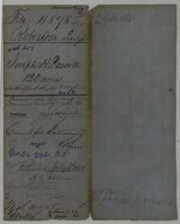 File jacketFile jacket for Joseph H. Powell's 120-acre Mercer's Colony survey, with map-check and patent notes of July 1861.General Land Office, file 4878, page 1 · in the scan
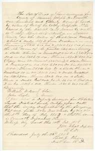 Field notesField notes of 120 acres on Richland Creek surveyed for Joseph H. Powell by deputy surveyor J. M. Eliot, 5 February 1858, recorded 22 July 1858.General Land Office, file 4878, page 2 · in the scan
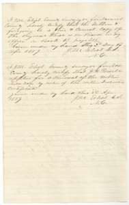 Surveyor's certificateCounty surveyor J. M. Eliot's certificate of 2 April 1859 that this is a true copy of the Powell field notes, and Powell's application to renew them.General Land Office, file 4878, page 3 · in the scan
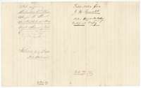 WrapperFiling wrapper for the certified copy of the Powell field notes, with the patent note of 11 July 1861.General Land Office, file 4878, page 4 · in the scan
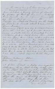 Field notesCertified copy of the field notes for 120 acres on Richland Creek surveyed for Joseph H. Powell by J. M. Eliot, 5 February 1858.General Land Office, file 4878, page 5 · in the scan
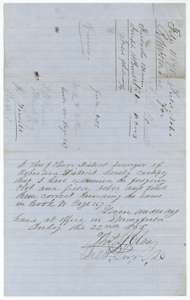 Surveyor's certificateDistrict Surveyor Thos. J. Oliver's certificate of 22 July 1858 that he examined the Powell field notes and recorded them in Book N.General Land Office, file 4878, page 6 · in the scan
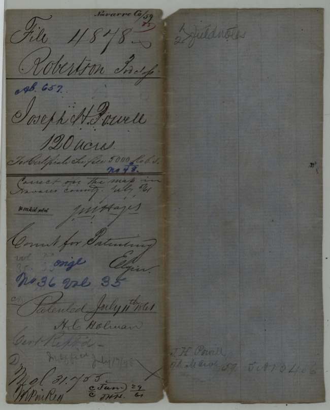
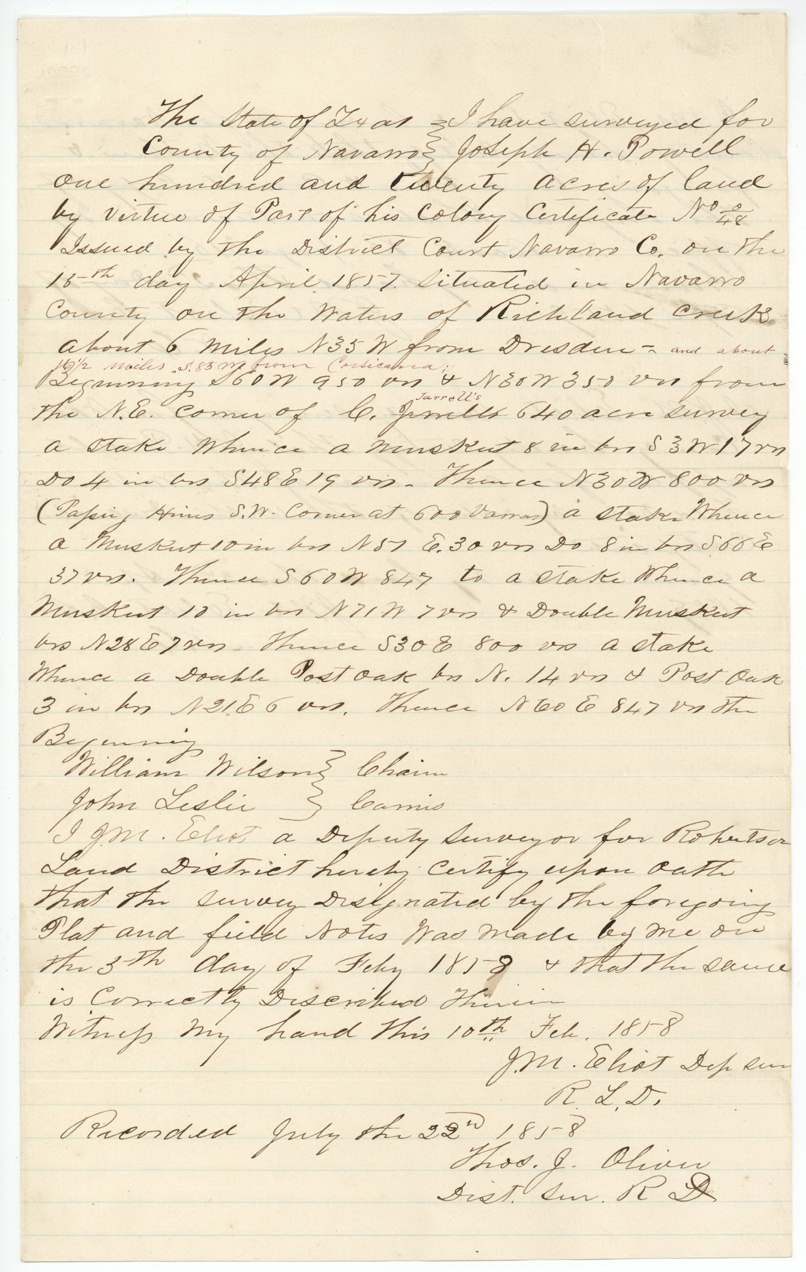
Scans courtesy of the Texas General Land Office, Austin, from its Land Grant Database.
Neighbouring surveys
Sources
- Texas General Land Office, Land Grant Database: Navarro County, Abstract 657
- The Land Office file, scanned (PDF, at the General Land Office)
- 1924 map: courtesy of the Texas General Land Office, Austin, Map 73249, used under licence. Topo: U.S. Geological Survey, The National Map. Aerial photographs: U.S. Department of Agriculture, National Agriculture Imagery Program, 2012, 2018 and 2022. Survey outlines: Railroad Commission of Texas, Original Texas Land Survey. Grant records and files: Texas General Land Office.