Blackland TX · ← All the original surveys
Henry Hubble Survey, Abstract 349
- Granted to
- Henry Hubble
- Kind of grant
- Headright, second classLand for settlers who came between independence and 1 October 1837.
- Land Office file
- Robertson 2nd class, file 653
- Certificate
- No. 29/89
- Acres
- 160
- Patented to
- Henry Hubble
- Patent
- 25 May 1871 · No. 138, Vol. 8
Tap a survey to open its page.
What the file shows
Henry Hubble held an unconditional second-class headright certificate, No. 88 for 640 acres, issued by the Leon County Board of Land Commissioners. After the original was lost, GLO Commissioner Joseph Spence issued him a duplicate (29/89) in August 1869. In May 1871 Navarro County Surveyor John W. Irwin laid three small tracts about four to five miles northwest of Dresden on Richland Creek waters; the 160- and 59-acre tracts were patented to Hubble on May 25, 1871, while the 47-acre tract overlapped the Chism survey and was abandoned. A balance certificate for the remaining 421 acres was issued in September 1871.
The certificate
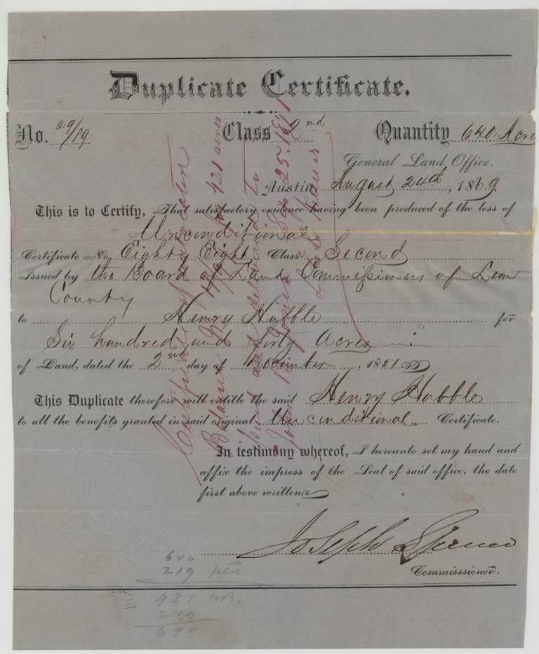
headright 2nd class (duplicate), No. Duplicate No. 29/89; original No. 88, 640 acres, Original: Board of Land Commissioners of Leon County. Duplicate: Joseph Spence, Commissioner, General Land Office, Original: Leon County. Duplicate: Austin, Original dated 2nd day of Dec(?) 18_1 (year unclear, reads like '1851'); duplicate issued 1869-08-24.
Duplicate issued on 'satisfactory evidence having been produced of the loss of' the original unconditional 2nd-class certificate No. 88; the file does not state arrival date or marital status
The survey
certified 1871-05-02 (field date not stated), John W. Irwin(?)/Irvin, County Surveyor, Navarro County.
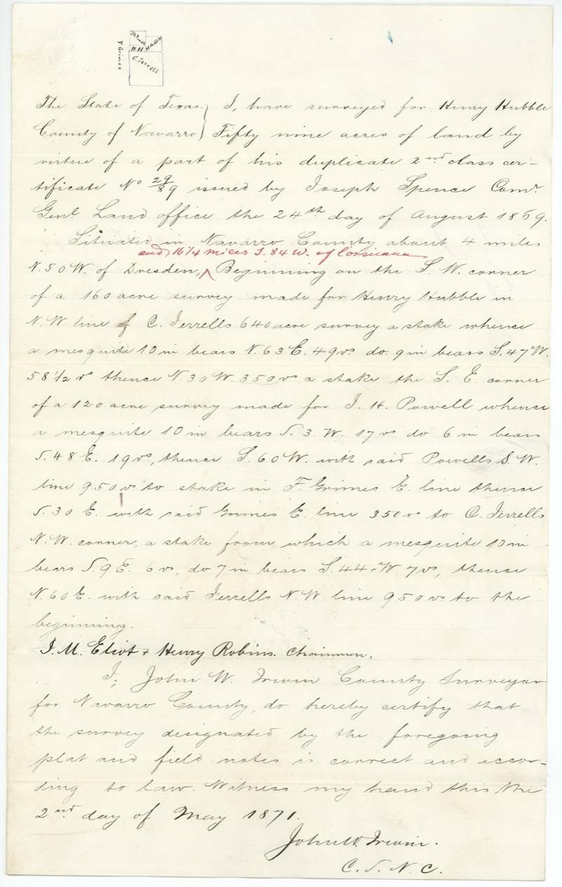
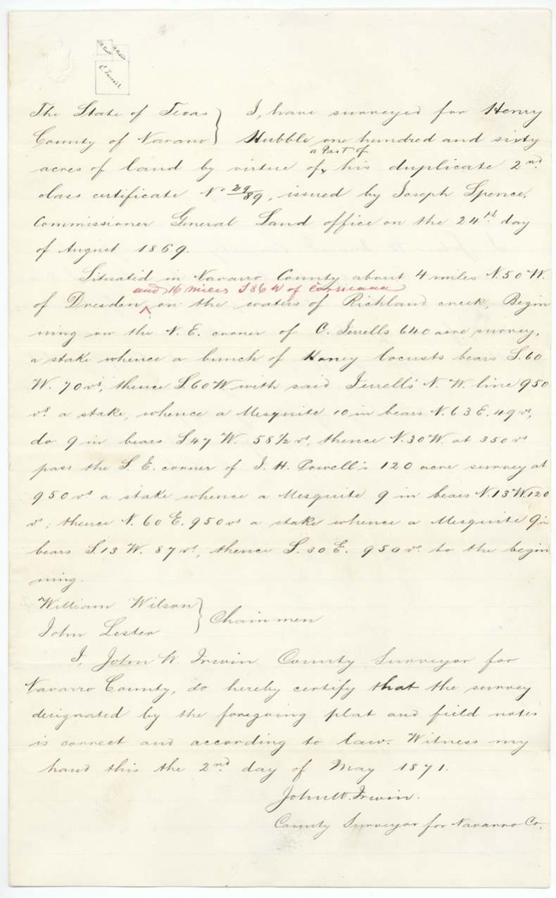
Navarro County, about 4 miles N 50 W of Dresden on the waters of Richland Creek; red note 'and 16 miles S 86 W of Corsicana'
Chain carriers: William Wilson, John Lester.
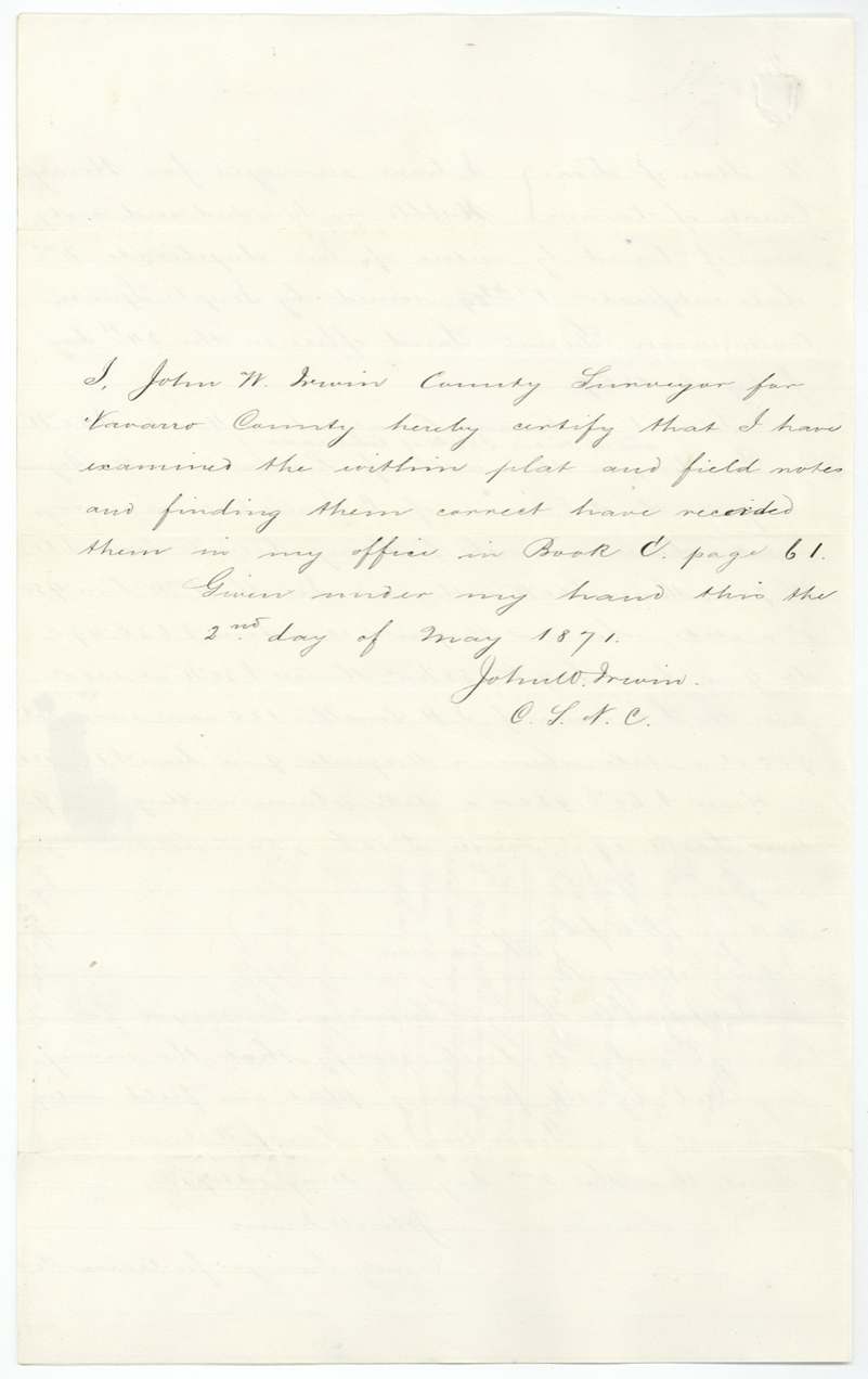
Book C, page 61, Navarro County
The survey
certified 1871-05-02, John W. Irwin(?), County Surveyor, Navarro County.
Navarro County, about 4 miles N 50 W of Dresden; red note 'and 16¼ miles S 84 W of Corsicana'
Chain carriers: J. M. Eliot, Henry Robins.
Book C, page 62
The survey
certified 1871-05-02, John W. Irwin(?), County Surveyor, Navarro County.
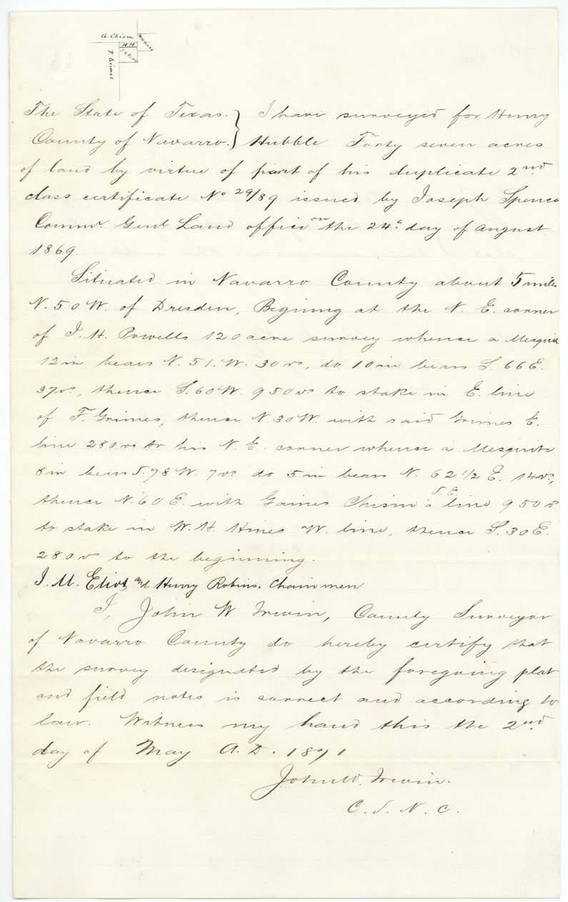
Navarro County, about 5 miles N 50 W of Dresden
Chain carriers: J. M. Eliot, Henry Robins.
Book C, page 63
The patent
25 May 1871, Nos. 138 and 139, Vol. 8, to Henry Hubble (original grantee), delivered to not stated (wrapper: 'Mgl. 5967'; 'C.C. May 22nd 1871, F. Tuschinski(?)').
Also in the file
- The original certificate was lost; a duplicate was issued in Austin in 1869, nearly three decades after the original Leon County board grant.
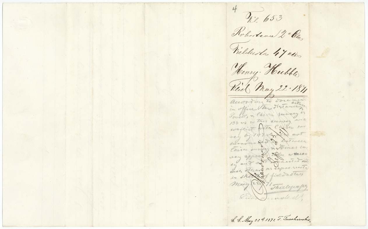
- Of three small tracts surveyed near Dresden, the 47-acre one was found to overlap the Chism survey by 147 varas and was abandoned in September 1871.
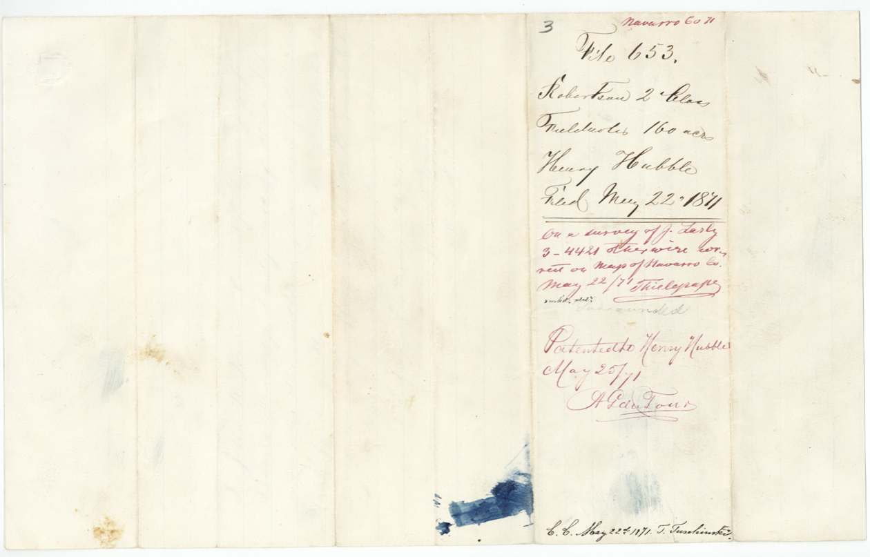
- The 160-acre tract was noted as lying on a survey of J. Lasly(?) (file 3-4421) but was still patented.
- Only 219 of the 640 acres were patented here; a certificate for the 421-acre balance was issued in September 1871.
- The note 'Relocation of 406 Rob. 2' suggests the certificate had earlier been located somewhere else and was moved.
Timeline
- 18_1-12(?)-02Original unconditional 2nd-class certificate No. 88 for 640 acres issued by Leon County board (year unclear)
- 24 Aug 1869GLO Commissioner Joseph Spence issues duplicate certificate 29/89 after proof of loss
- 2 May 1871County Surveyor John W. Irwin certifies and records 160-, 59- and 47-acre surveys near Dresden (Book C pp. 61-63)
- 22 May 1871Field notes filed in GLO; map check by Thielepape
- 25 May 1871160- and 59-acre tracts patented to Henry Hubble (Nos. 138-139, Vol. 8)
- 23 Sep 187147-acre survey abandoned
- 25 Sep 1871Unlocated balance certificate No. 17/99 for 421 acres issued
The papers in the file
Every page of the Land Office file, in the order the Land Office keeps them (13 pages). Tap a page to see it larger.
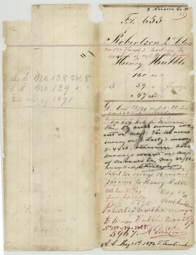
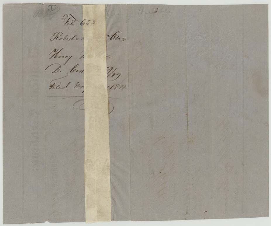
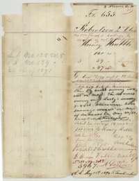 File jacketOld wrapper for the Robertson Second Class file of Henry Hubble, listing three surveys of 160, 59 and 47 acres and the patents of 25 May 1871.General Land Office, file 653, page 1 · in the scan
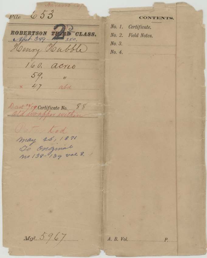
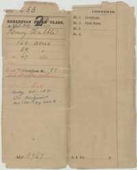 File jacketPrinted file jacket for the Robertson Second Class file of Henry Hubble, listing the certificate and field notes.General Land Office, file 653, page 2 · in the scan
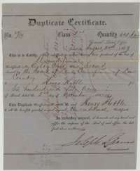 CertificateDuplicate second-class certificate No. 29/89 for 640 acres to Henry Hubble, issued at Austin on 24 August 1869 by Commissioner Joseph Spence to replace a lost original.General Land Office, file 653, page 3 · in the scan
 File jacketBack of the duplicate certificate, marked as the certificate for Henry Hubble, filed May 1871.General Land Office, file 653, page 4 · in the scan
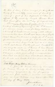 Field notesField notes for 59 acres near Dresden on Richland Creek waters, surveyed for Henry Hubble by County Surveyor John W. Irwin, certified 2 May 1871, with a small plat.General Land Office, file 653, page 5 · in the scan
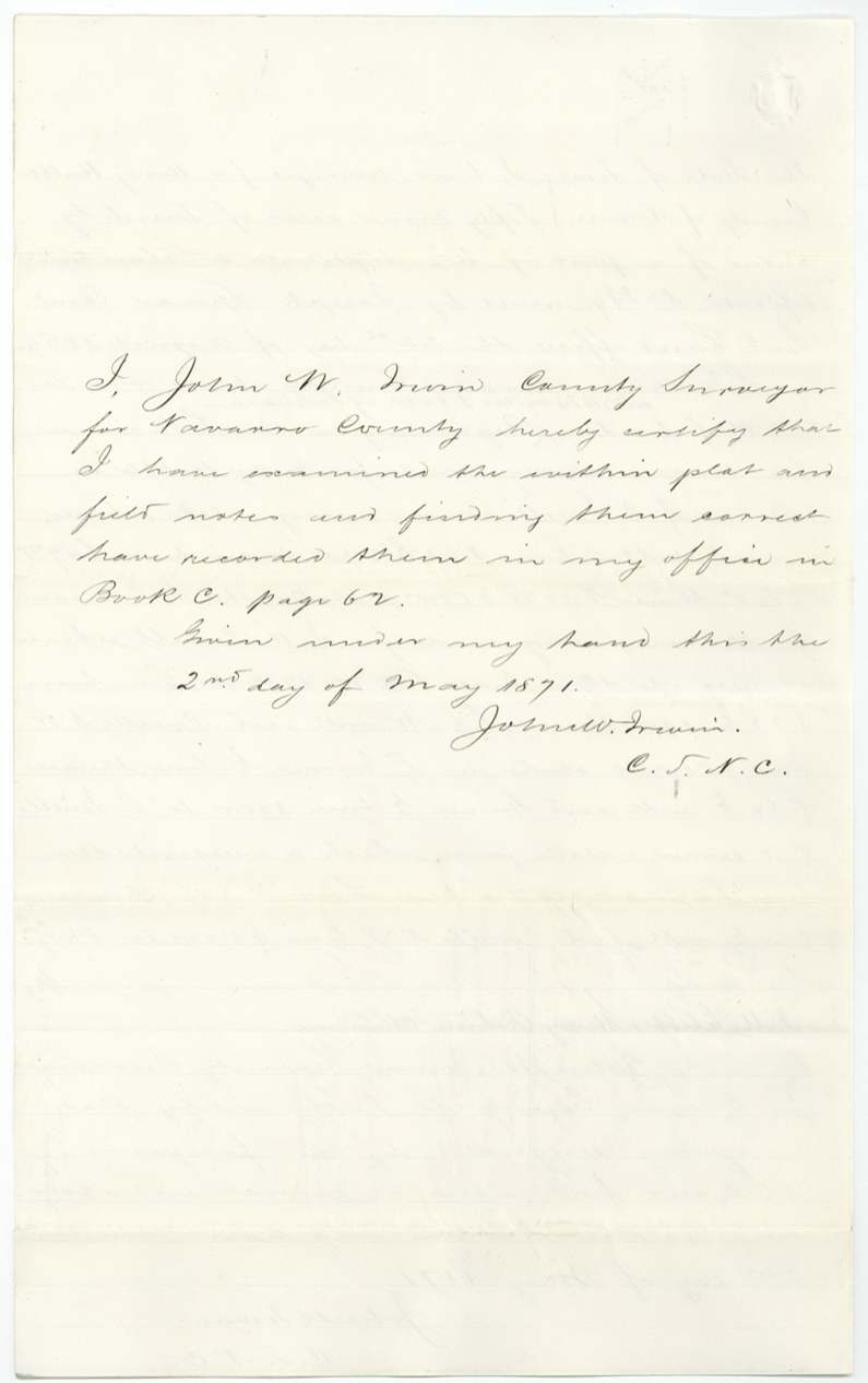
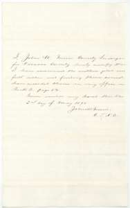 Surveyor's certificateCertificate of County Surveyor John W. Irwin, 2 May 1871, that he examined the 59-acre plat and field notes and recorded them in Book C, page 62.General Land Office, file 653, page 6 · in the scan
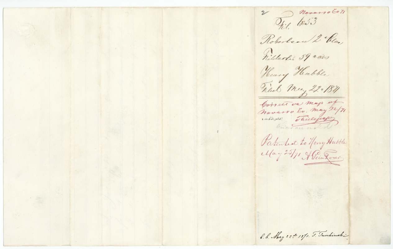
 File jacketJacket for the 59-acre field notes of Henry Hubble, filed 22 May 1871 and marked patented to him on 25 May 1871.General Land Office, file 653, page 7 · in the scan
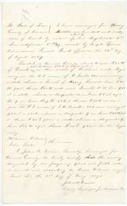 Field notesField notes for 160 acres near Dresden on Richland Creek waters, surveyed for Henry Hubble by County Surveyor John W. Irwin, certified 2 May 1871, with a small plat.General Land Office, file 653, page 8 · in the scan
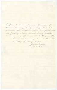 Surveyor's certificateCertificate of County Surveyor John W. Irwin, 2 May 1871, that the 160-acre plat and field notes are correct and recorded in Book C, page 61.General Land Office, file 653, page 9 · in the scan
 File jacketJacket for the 160-acre field notes of Henry Hubble, filed 22 May 1871 and marked patented to him on 25 May 1871.General Land Office, file 653, page 10 · in the scan
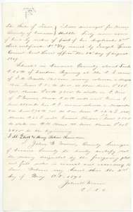 Field notesField notes for 47 acres near Dresden, surveyed for Henry Hubble by County Surveyor John W. Irwin and certified 2 May 1871, with a small plat.General Land Office, file 653, page 11 · in the scan
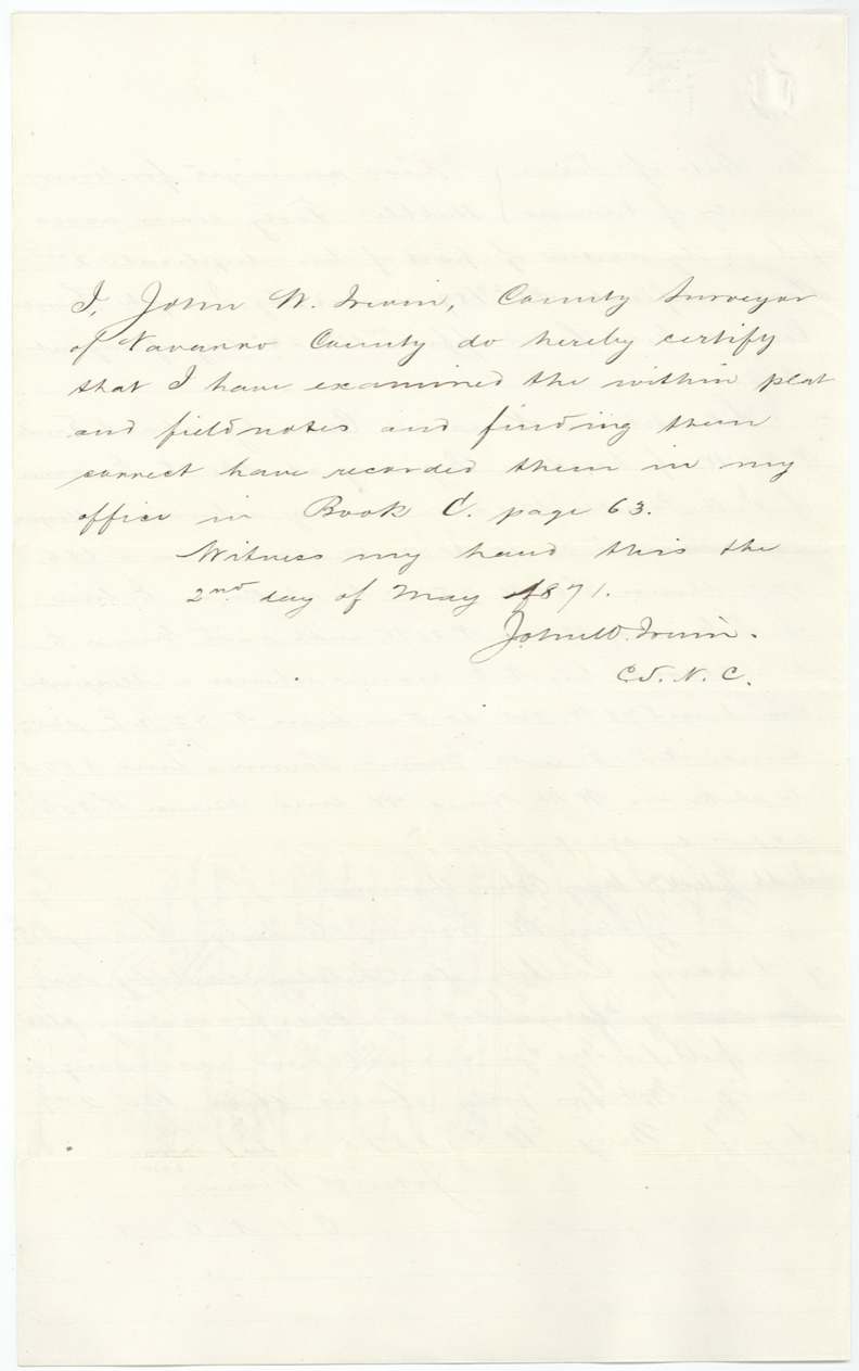
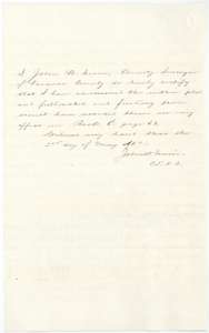 Surveyor's certificateCertificate of County Surveyor John W. Irwin, 2 May 1871, that the 47-acre plat and field notes are correct and recorded in Book C, page 63.General Land Office, file 653, page 12 · in the scan
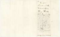 File jacketJacket for the 47-acre field notes of Henry Hubble, filed 22 May 1871, with a map-check note on a conflict with a neighbouring survey.General Land Office, file 653, page 13 · in the scan
Scans courtesy of the Texas General Land Office, Austin, from its Land Grant Database.
Neighbouring surveys
Sources
- Texas General Land Office, Land Grant Database: Navarro County, Abstract 349
- The Land Office file, scanned (PDF, at the General Land Office)
- 1924 map: courtesy of the Texas General Land Office, Austin, Map 73249, used under licence. Topo: U.S. Geological Survey, The National Map. Aerial photographs: U.S. Department of Agriculture, National Agriculture Imagery Program, 2012, 2018 and 2022. Survey outlines: Railroad Commission of Texas, Original Texas Land Survey. Grant records and files: Texas General Land Office.