Blackland TX · ← All the original surveys
Claborn Jarrell Survey, Abstract 436
- Granted to
- Claborn Jarrell
- Kind of grant
- Headright, third classLand for later settlers, including the colonists of Mercer’s Colony.
- Land Office file
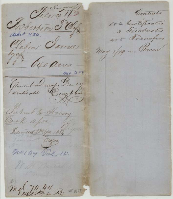
- Robertson 3rd class, file 511
- Certificate
- No. 604
- Acres
- 640
- Patented to
- Henry Cook
- Patent
- 28 Apr 1854 · No. 139, Vol. 10
Tap a survey to open its page.
What the file shows
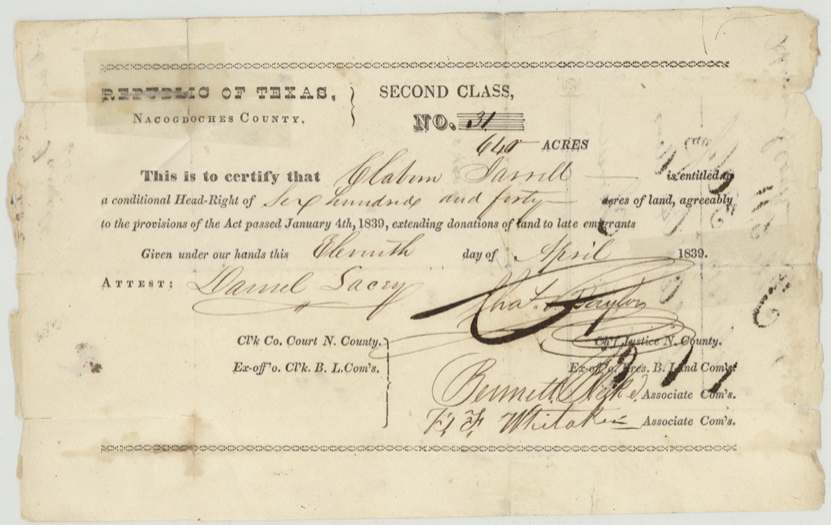
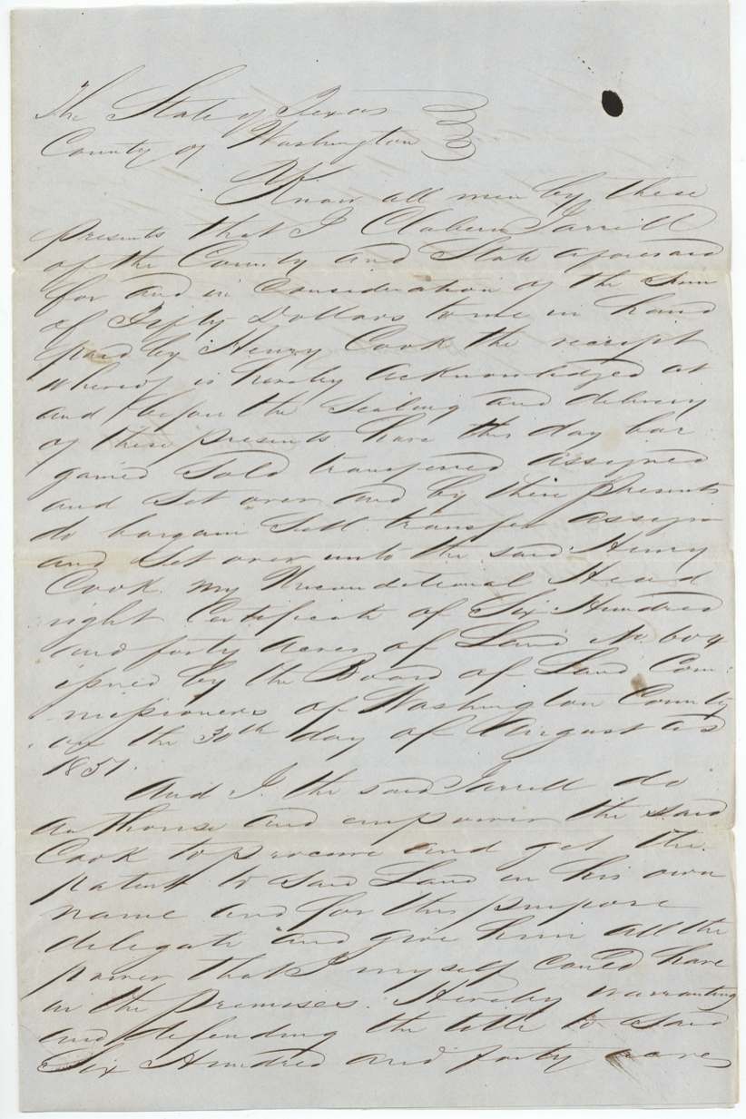
Claiborn Jarrell received a conditional 640-acre second-class headright (No. 31) from the Nacogdoches County board on 11 April 1839 as a late emigrant. In 1844 he gave Henry Cook of Milam County an irrevocable power of attorney to locate, patent and sell the land, recorded at Franklin, Robertson County. David R. Mitchell surveyed the 640 acres at the head of Post Oak Creek, a north branch of Richland Creek about 16 miles WSW of Corsicana, on 19 June 1850; the Washington County board made the certificate unconditional (No. 604) on 30 August 1851. Jarrell gave Cook a formal $50 deed on 20 December 1853, and the patent (No. 139, Vol. 10) issued to Cook as assignee on 28 April 1854.
The certificate
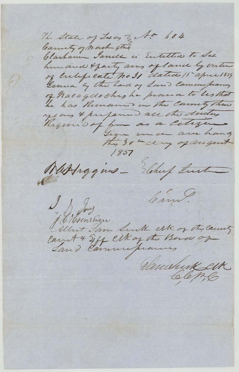
headright 2nd class (filed Robertson 3rd), No. 31 (conditional); 604 (unconditional), 640 acres, Conditional: Board of Land Commissioners, Nacogdoches County - Chas. Taylor(?), Chief Justice & ex off. Pres.; Bennett Blake(?) and F. F.(?) Whitaker, Associate Coms.; attest Daniel Lacy, Clk. Unconditional: Board of Land Commissioners, Washington County - R. A. Higgins(?), Chief Justice; I. J. Jones(?) and J. C. Crenshaw, Comrs.; attest Sam Lusk, Clk County Court & ex off. Clk B.L.C., Nacogdoches County (conditional); Washington County (unconditional), conditional 1839-04-11; unconditional 1851-08-30.
Printed Republic form: 'conditional Head-Right of Six hundred and forty acres of land, agreeably to the provisions of the Act passed January 4th, 1839, extending donations of land to late emigrants.' Unconditional: 'he proved to us that he has remained in the county three years & performed all the duties required of him as a citizen.'
Changes of hand
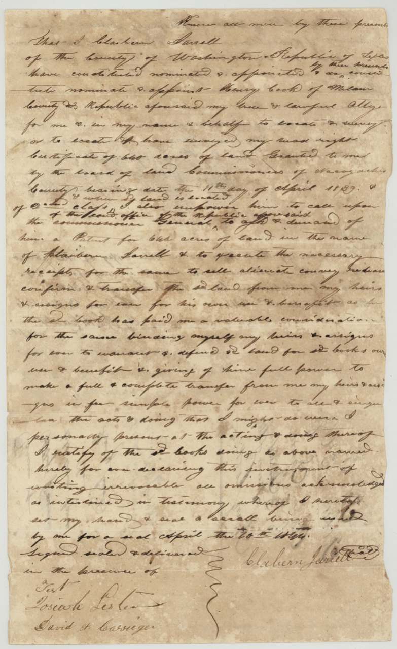
- 1844-04-20(?)Claiborn (Claborn) Jarrell, of Washington County → Henry Cook, of Milam County, 'a valuable consideration' (unstated), not stated; proved in Robertson County. Irrevocable power of attorney to locate and survey the 640-acre 2nd class certificate, obtain patent in Jarrell's name, and sell/convey the land for Cook's own use - in effect a sale.
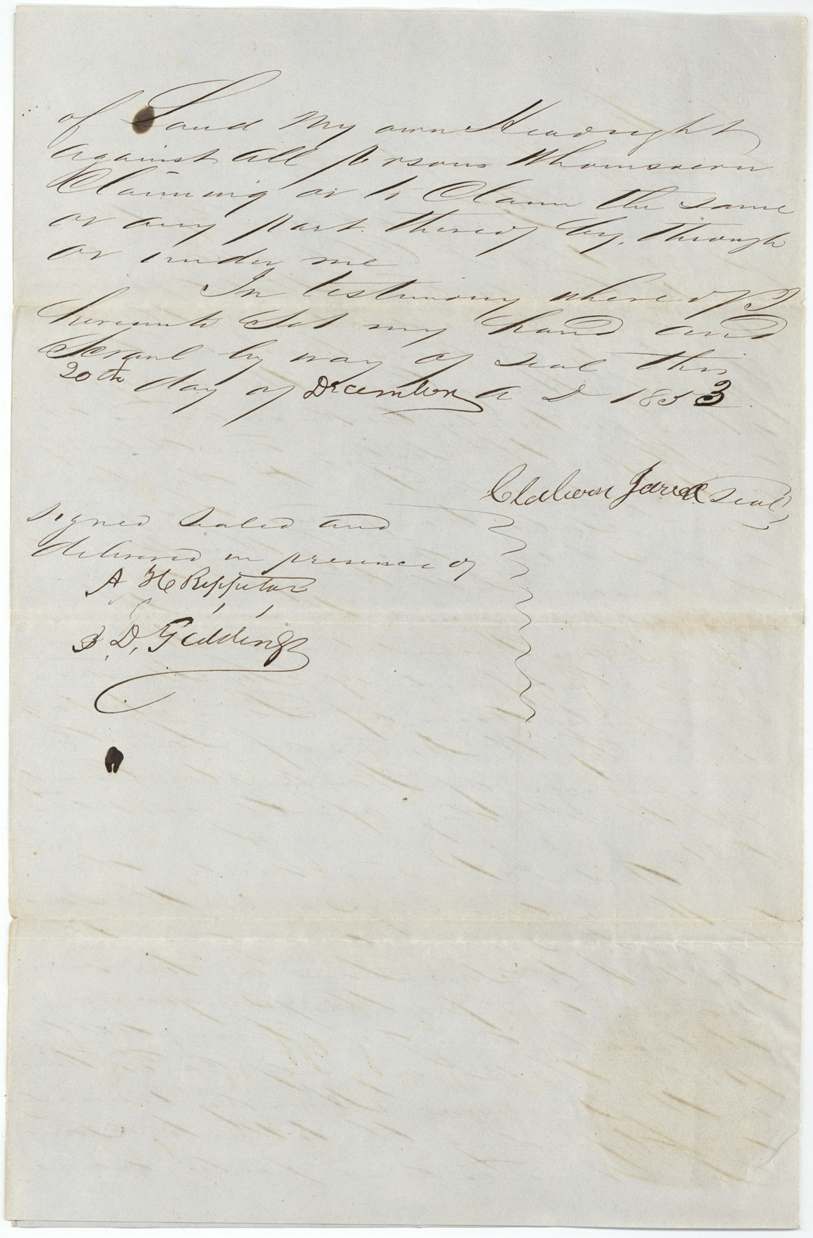
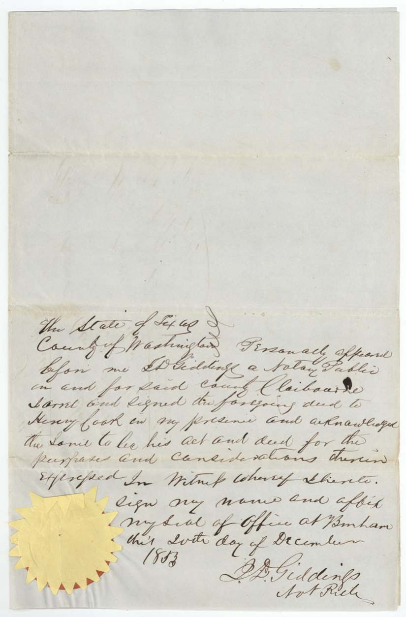
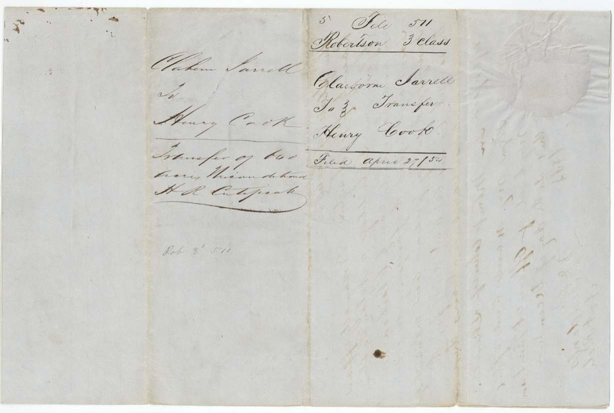
- 20 Dec 1853Claiborn Jarrell, of Washington County → Henry Cook, $50, Washington County (acknowledged at Brenham(?)). Transfers unconditional headright certificate No. 604 for 640 acres (Washington County, 30 Aug 1851) and authorizes Cook to get the patent in his own name. Filed GLO April 27, '54.
The survey
19 Jun 1850, David R. Mitchell.
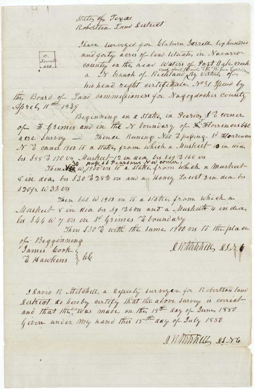
Navarro County, on the head waters of Post Oak Creek, a N branch of Richland Creek, about 16 miles S 82 W from Corsicana (interlined). Begins at a stake in prairie at the SE corner of F. Grimes and in the N boundary of J. Florence's 640-acre survey; N60E passing said Florence's NE corner 1900 vrs; N30W passing at 66 vrs S. S. Pearson's NW corner(?), 1900 vrs; S60W 1900 vrs to F. Grimes' E boundary; S30E with same 1900 vrs to beginning.
Chain carriers: James Cook, E. Hawkins.
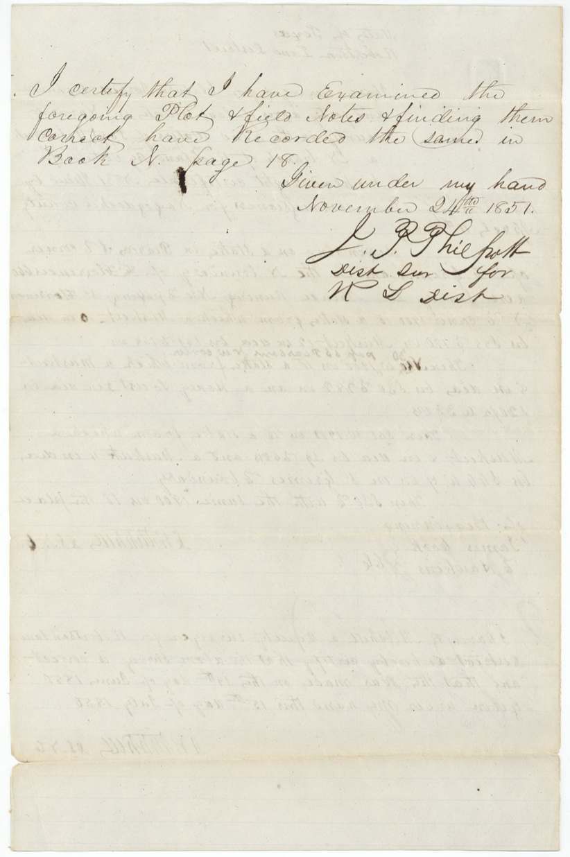
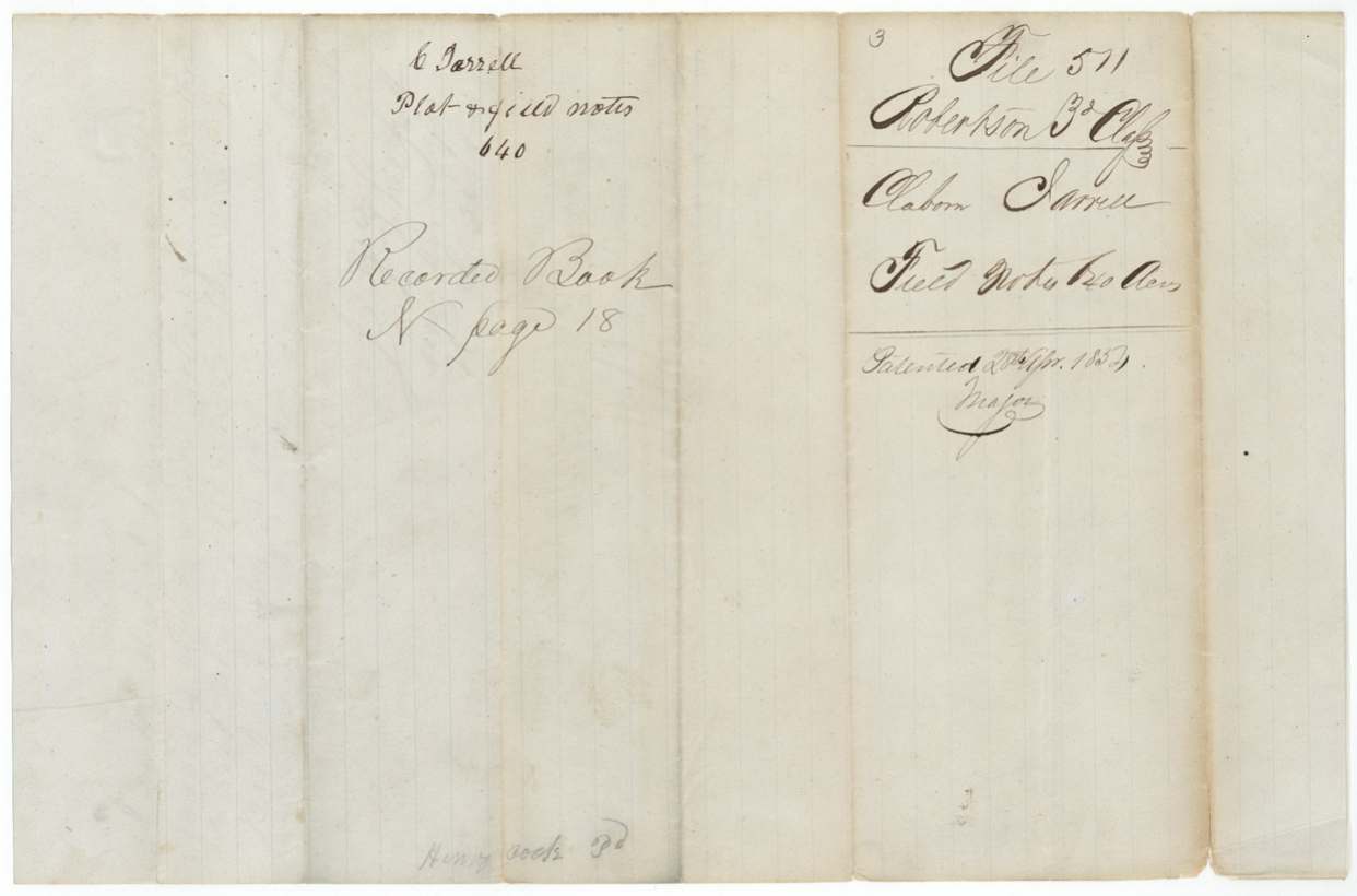
Book N page 18
The patent
28 Apr 1854, No. 139, Vol. 10, to Henry Cook, assignee, delivered to faint pencil 'W. H. Mitchell(?) ... mail'.
Also in the file
- Survey (June 1850) was made on the conditional certificate more than a year before the unconditional certificate issued (Aug 1851).
- Conditional certificate from Nacogdoches County, but the unconditional came from Washington County, where Jarrell later lived.
- Cook held a power of attorney from 1844 yet took a second, formal deed for $50 in Dec 1853, apparently to satisfy the GLO before patent.
- Certificate printed 'Second Class' but filed as Robertson 3rd class.
- Year of the 1844 power of attorney is written over and hard to read.
- Patent year conflict between field-note docket (1852?) and jacket (1854).
Timeline
- 11 Apr 1839Nacogdoches County board issues Claiborn Jarrell conditional 2nd class headright No. 31 for 640 acres
- 20 Apr 1844Jarrell gives Henry Cook of Milam County an irrevocable power of attorney to locate, patent and sell the land (year uncertain)
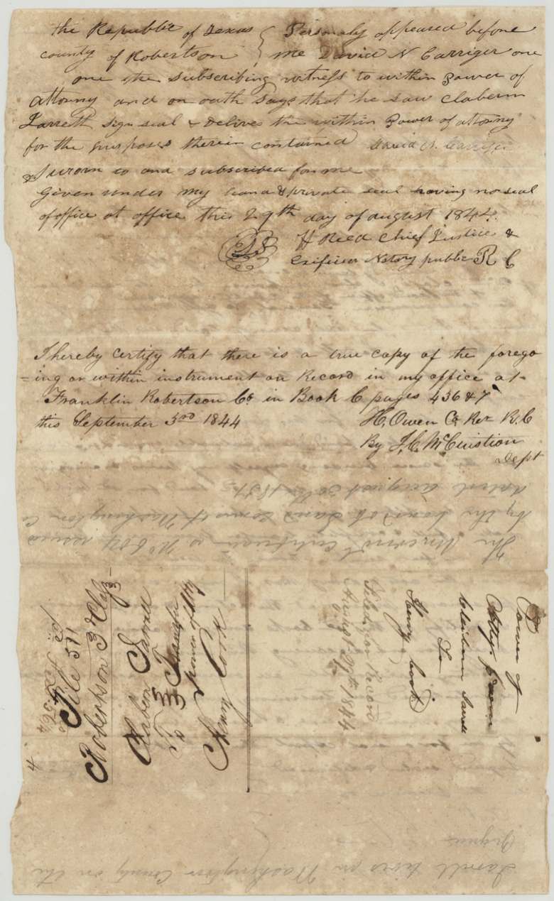
- 29 Aug 1844David N. Carriger proves the power before H. Reed, Robertson County
- 3 Sep 1844Recorded at Franklin, Robertson County, Book C pp.436-7
- 19 Jun 1850David R. Mitchell surveys 640 acres at the head of Post Oak Creek (carriers James Cook, E. Hawkins)
- 30 Aug 1851Washington County board issues unconditional certificate No. 604
- 24 Nov 1851Field notes recorded Book N p.18
- 20 Dec 1851Correct on map
- 20 Dec 1853Jarrell deeds the certificate to Henry Cook for $50, acknowledged at Brenham(?)
- 27 Apr 1854Transfer filed in GLO
- 28 Apr 1854Patent No. 139 Vol. 10 to Henry Cook, assignee
The papers in the file
Every page of the Land Office file, in the order the Land Office keeps them (14 pages). Tap a page to see it larger.
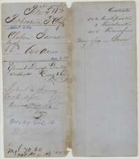 File jacketFile jacket for Claborn Jarrell's 640-acre headright, Robertson third class, patented to Henry Cook as assignee.General Land Office, file 511, page 1 · in the scan
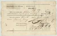 CertificateConditional headright certificate for 640 acres issued to Claborn Jarrell by the Nacogdoches County land board, 11 April 1839.General Land Office, file 511, page 2 · in the scan
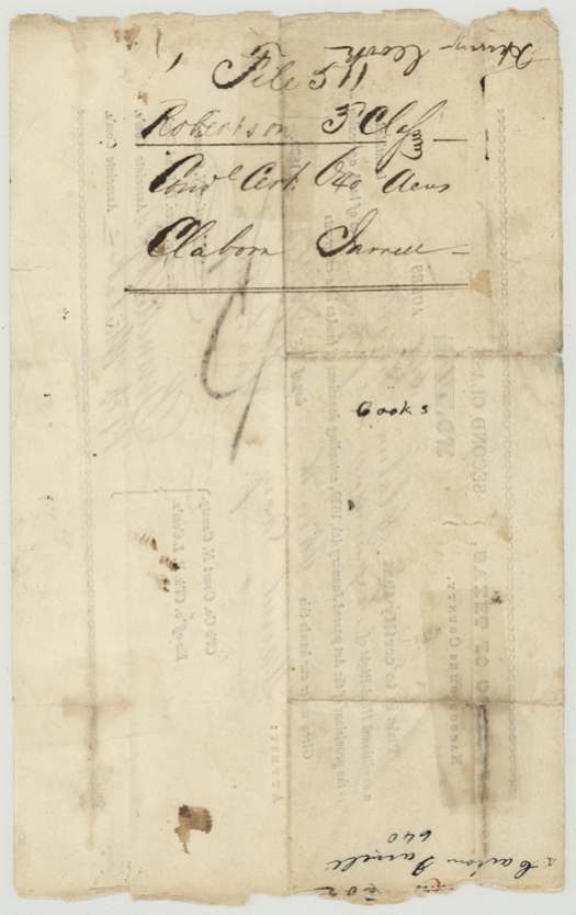
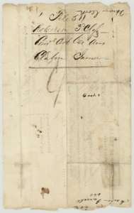 WrapperBack of the conditional certificate, with the file docket naming Claborn Jarrell and Henry Cook.General Land Office, file 511, page 3 · in the scan
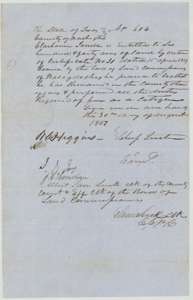 CertificateUnconditional headright certificate No. 604 for 640 acres, issued to Claborn Jarrell by the Washington County land board, 30 August 1851.General Land Office, file 511, page 4 · in the scan
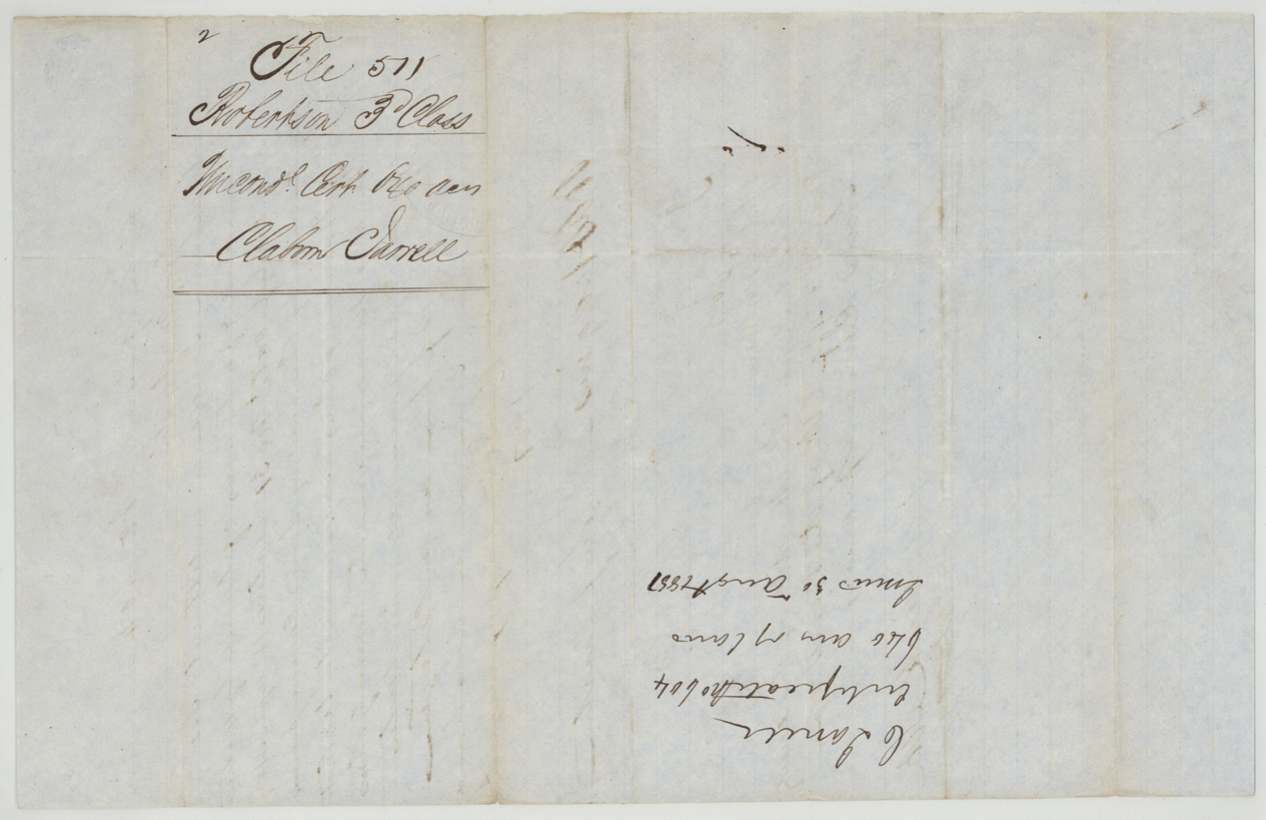
 WrapperBack of the unconditional certificate, with the file docket for Claborn Jarrell's headright.General Land Office, file 511, page 5 · in the scan
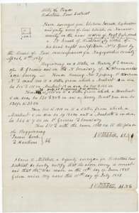 Field notesField notes for 640 acres on the head of Post Oak Creek, surveyed for Claborn Jarrell by deputy surveyor David R. Mitchell, 19 June 1850.General Land Office, file 511, page 6 · in the scan
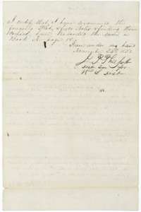 Surveyor's certificateDistrict surveyor's certificate of 24 November 1851 that the plat and field notes were examined, found correct and recorded in Book N, page 18.General Land Office, file 511, page 7 · in the scan
 WrapperBack of the field notes, with the docket naming Claborn Jarrell and the recording note Book N, page 18.General Land Office, file 511, page 8 · in the scan
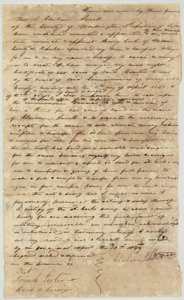 Power of attorneyPower of attorney from Claborn Jarrell to Henry Cook, 20 April 1844, to locate, survey and sell his 640-acre certificate.General Land Office, file 511, page 9 · in the scan
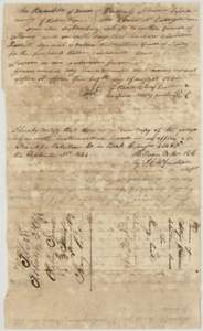 Other papersProof of the power of attorney before a Robertson County notary on 29 August 1844, with the county recorder's note of 3 September 1844 and a file docket.General Land Office, file 511, page 10 · in the scan
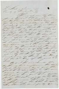 TransferFirst page of Claborn Jarrell's deed to Henry Cook, 20 December 1853, selling certificate No. 604 for 640 acres for $50.General Land Office, file 511, page 11 · in the scan
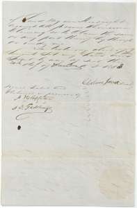 TransferSecond page of Jarrell's deed to Henry Cook, with Jarrell's signature and two witnesses, 20 December 1853.General Land Office, file 511, page 12 · in the scan
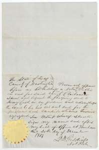 TransferNotary's acknowledgment of Jarrell's deed to Henry Cook, signed at Brenham, Washington County, 20 December 1853, with seal.General Land Office, file 511, page 13 · in the scan
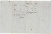 WrapperBack of the deed, with the docket naming Claborn Jarrell and Henry Cook and the Land Office filing note of 27 April 1854.General Land Office, file 511, page 14 · in the scan
Scans courtesy of the Texas General Land Office, Austin, from its Land Grant Database.
Neighbouring surveys
Sources
- Texas General Land Office, Land Grant Database: Navarro County, Abstract 436
- The Land Office file, scanned (PDF, at the General Land Office)
- 1924 map: courtesy of the Texas General Land Office, Austin, Map 73249, used under licence. Topo: U.S. Geological Survey, The National Map. Aerial photographs: U.S. Department of Agriculture, National Agriculture Imagery Program, 2012, 2018 and 2022. Survey outlines: Railroad Commission of Texas, Original Texas Land Survey. Grant records and files: Texas General Land Office.