Blackland TX · ← All the original surveys
Elizabeth Jones Survey, Abstract 444
- Granted to
- Elizabeth Jones
- Kind of grant
- Headright, third classLand for later settlers, including the colonists of Mercer’s Colony.
- Land Office file
- Robertson 3rd class, file 5200
- Acres
- 107
- Patented to
- Elizabeth Jones
- Patent
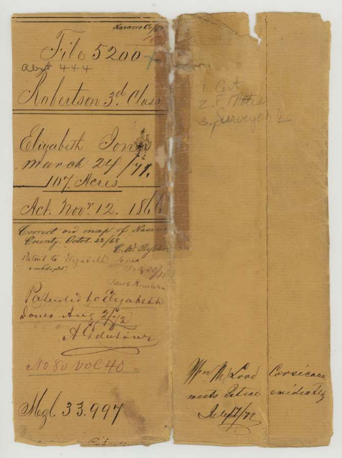
- 02 Aug 1872 · No. 80, Vol. 40
Tap a survey to open its page.
What the file shows
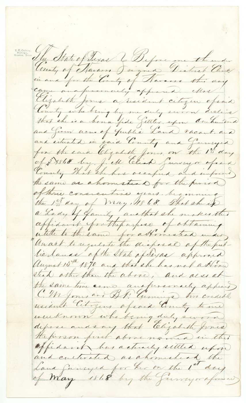
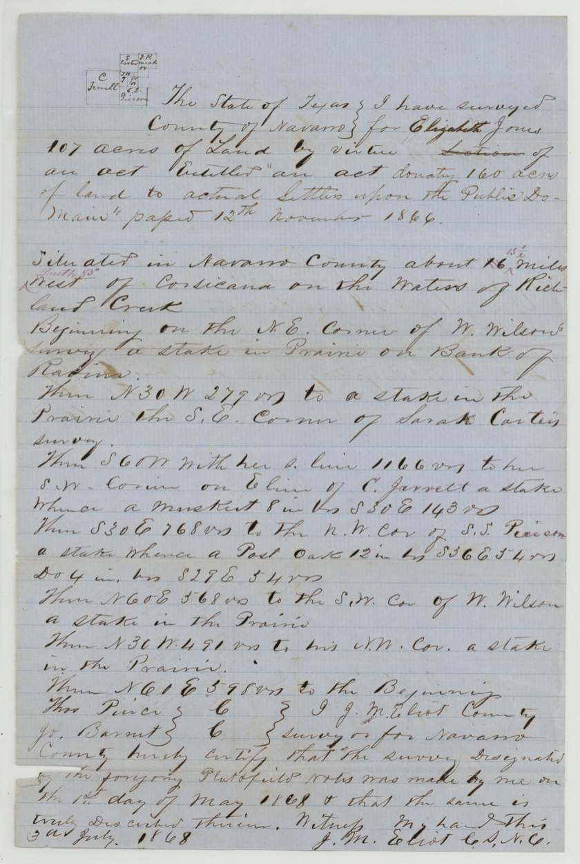
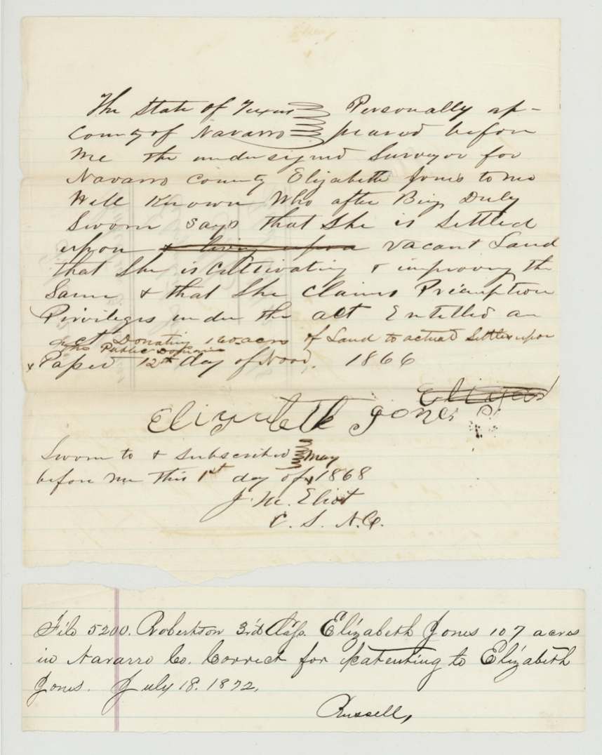
Elizabeth Jones, a 'lady of family' already settled on vacant land, claimed it as a homestead preemption under the 1866 act donating land to actual settlers; on 1 May 1868 Navarro County surveyor J. M. Eliot took her affidavit and surveyed 107 acres about 15½ miles southwest of Corsicana on the waters of Richland Creek, wrapped around the W. Wilson survey and beside Sarah Carter and S. S. Pierson. On 7 November 1871 she proved three years' continuous occupancy before the district clerk, with C. M. Jones and B. F. Cummings as witnesses. The Land Office approved the claim in July 1872 and patented the land to her on 2 August 1872.
The certificate
preemption (homestead donation to actual settlers), No. none, 107 acres, No certificate as such: settler's affidavit before the Navarro County surveyor (1868) and homestead occupancy affidavit before the Navarro County district clerk (1871), Navarro County, 1868-05-01 (preemption claim); 1871-11-07 (proof of three years' occupancy).
Act of 12 Nov 1866 'donating 160 acres of land to actual settlers upon the public domain'; title sought under the Act of 15 Aug 1870 'to regulate the disposal of the public lands'. She swore she was a bona fide settler, a 'lady of family', had occupied and improved the land as a homestead for three consecutive years from 1 May 1868, and had no other homestead.
The survey
1868-05-01 (certified 1868-07-03), J. M. Eliot (Elliott).
Navarro County, about 15½ (corrected from 16) miles West (red: 'South 83°' West) of Corsicana on the waters of Richland Creek; 107 acres
Chain carriers: Thos. Price, Jo. Barnett.
Book B, page 473
The patent
2 Aug 1872, No. 80, Vol. 40, to Elizabeth Jones, delivered to not stated; wrapper note 'Wm. M. Lood(?) wants patent immediately — Corsicana — July 17/72'.
Also in the file
- This is not an old headright — it is a post-Civil War homestead claim by a woman settler, made on a 107-acre leftover piece of vacant land between older surveys.
- She is described as a 'lady of family', the term the law used for a woman who was head of a household; her husband, if any, is not mentioned.
- The two witnesses who swore she lived on the land included a C. M. Jones, who shared her surname.
- The survey and claim were made in 1868 under the 1866 act, but title was completed under the 1870 act after she proved three years' residence in 1871.
- Someone named Wm. M. Lood(?) in Corsicana pressed the Land Office in July 1872 to issue the patent 'immediately'.
Timeline
- 12 Nov 1866Act donating up to 160 acres to actual settlers passed
- 1 May 1868Elizabeth Jones swears her preemption claim before surveyor J. M. Eliot; he surveys 107 acres on Richland Creek the same day
- 3 Jul 1868Eliot certifies the field notes
- 22 Sep 1868Field notes and affidavit filed in the General Land Office
- 22 Oct 1868Checked correct on the Navarro County map
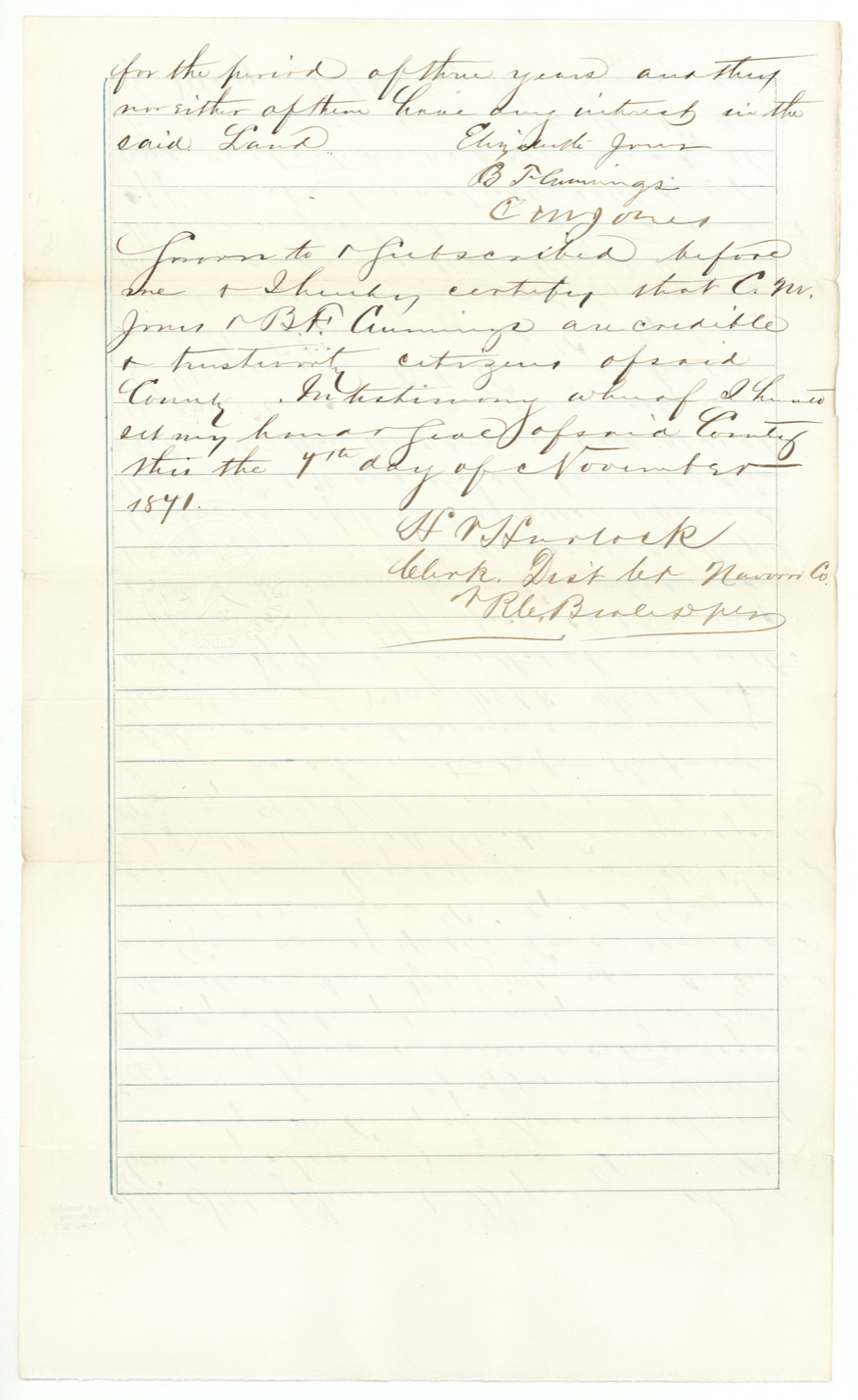
- 7 Nov 1871Proves three years' occupancy before the Navarro County district clerk, with C. M. Jones and B. F. Cummings
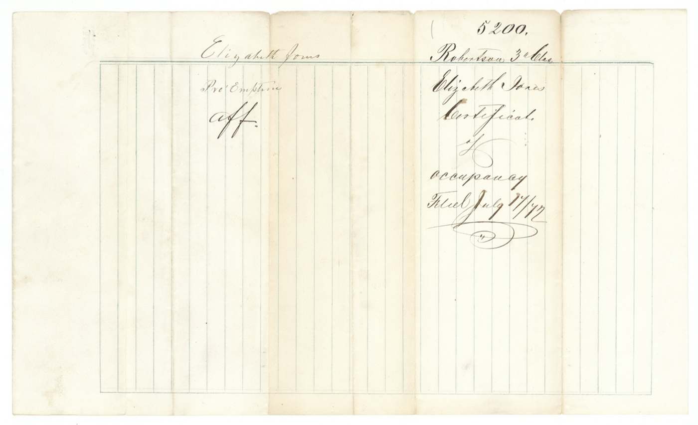
- 17 Jul 1872Occupancy certificate filed; request from Corsicana for immediate patent
- 18 Jul 1872Approved for patenting
- 2 Aug 1872Patented to Elizabeth Jones, No. 80 Vol. 40
The papers in the file
Every page of the Land Office file, in the order the Land Office keeps them (8 pages). Tap a page to see it larger.
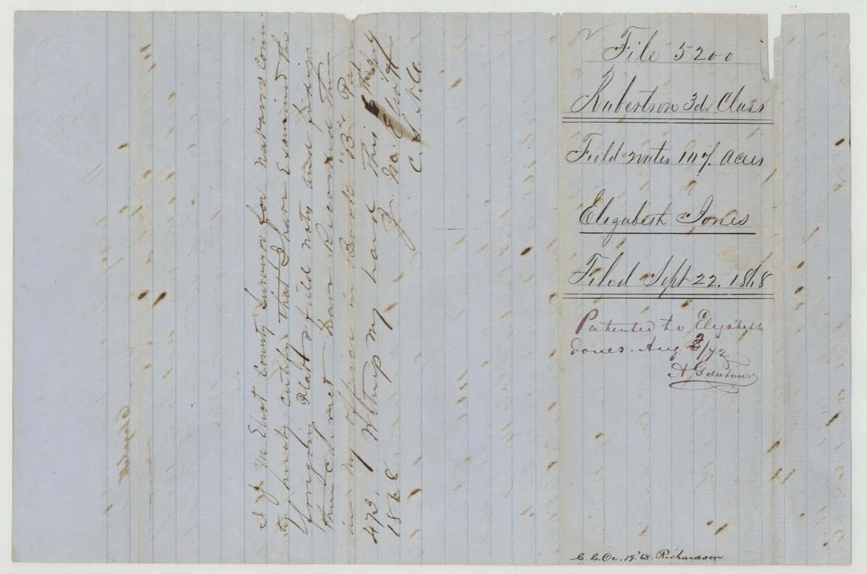
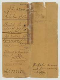 WrapperOuter wrapper for Elizabeth Jones's 107-acre homestead file, listing its papers, with the patent entry of 2 August 1872.General Land Office, file 5200, page 1 · in the scan
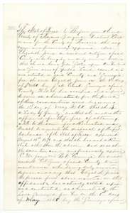 AffidavitElizabeth Jones's homestead affidavit, sworn in November 1871, that she had settled on and improved her land as a homestead since 1 May 1868.General Land Office, file 5200, page 2 · in the scan
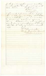 AffidavitConclusion of the homestead affidavit, with the signatures of Elizabeth Jones and her two witnesses and the district clerk's certificate of 7 November 1871.General Land Office, file 5200, page 3 · in the scan
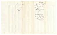 DocketJacket for Elizabeth Jones's certificate of occupancy, marked filed 17 July 1872.General Land Office, file 5200, page 4 · in the scan
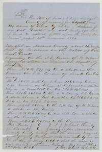 Field notesField notes and plat for 107 acres on the waters of Richland Creek, surveyed for Elizabeth Jones by county surveyor J. M. Eliot on 1 May 1868.General Land Office, file 5200, page 5 · in the scan
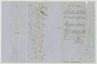 DocketBack of the field notes, with the jacket for Elizabeth Jones's 107 acres filed 22 September 1868, and the patent entry.General Land Office, file 5200, page 6 · in the scan
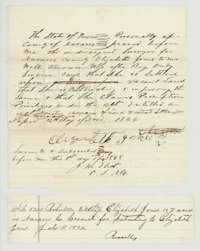 AffidavitElizabeth Jones's sworn claim of 1 May 1868 to preempt vacant land, with a slip approving the file for patenting on 18 July 1872.General Land Office, file 5200, page 7 · in the scan
 DocketJacket for the affidavit of Elizabeth Jones, marked filed 22 September 1868.General Land Office, file 5200, page 8 · in the scan
Scans courtesy of the Texas General Land Office, Austin, from its Land Grant Database.
Neighbouring surveys
Sources
- Texas General Land Office, Land Grant Database: Navarro County, Abstract 444
- The Land Office file, scanned (PDF, at the General Land Office)
- 1924 map: courtesy of the Texas General Land Office, Austin, Map 73249, used under licence. Topo: U.S. Geological Survey, The National Map. Aerial photographs: U.S. Department of Agriculture, National Agriculture Imagery Program, 2012, 2018 and 2022. Survey outlines: Railroad Commission of Texas, Original Texas Land Survey. Grant records and files: Texas General Land Office.