Blackland TX · ← All the original surveys
Sarah Carter Survey, Abstract 183
- Granted to
- Sarah Carter
- Kind of grant
- Headright, third classLand for later settlers, including the colonists of Mercer’s Colony.
- Land Office file
- Robertson 3rd class, file 5035
- Certificate
- No. 293
- Acres
- 208
- Patented to
- Hugh Forgey
- Patent
- 13 May 1862 · No. 175, Vol. 36
Tap a survey to open its page.
What the file shows
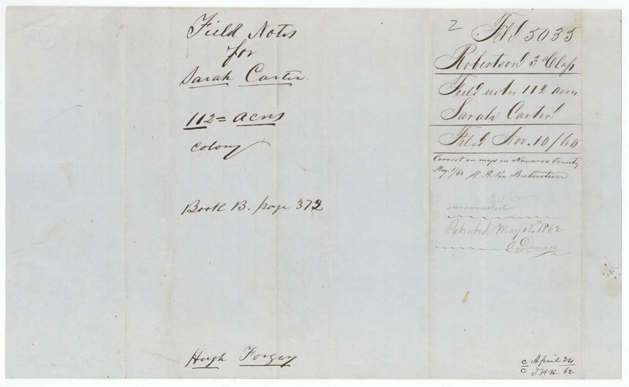
Sarah Carter held a 320-acre unlocated-balance certificate issued by the Commissioners of Claims in November 1857; it was lost, and Joseph Lee issued duplicate No. 293 at Austin on 13 August 1859. Hugh Forgey, who had acquired it (the transfer is in Robertson file 2714, not here), applied through attorneys Alex. Beaton (1859) and J. C. C. Winch (1860). County surveyor J. M. Elliot surveyed two tracts on the waters of Chambers Creek west of Corsicana on 11-12 September 1860: 112 acres (Survey 26) and 208 acres (Survey 73). Both were patented to Hugh Forgey, assignee, on 13 May 1862 (patents 175 and 176, Vol. 36).
The certificate
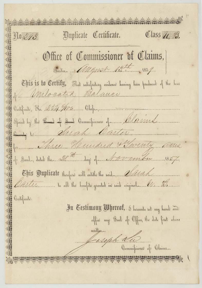
No. Duplicate No. 293 (Class 'U. B.' = unlocated balance); original certificate No. 254/406(?), 320 (original); duplicate covers the unlocated balance, located as 112 + 208 acres, Joseph Lee, Commissioner of Claims, Austin, 1859-08-13 (duplicate); original dated 1857-11-28.
Duplicate issued on 'satisfactory evidence having been produced of the loss' of the Unlocated Balance certificate No. 254/406(?) issued by the Commissioners of Claims to Sarah Carter for 320 acres dated 28 Nov 1857; entitles her to all benefits of the original U.B. certificate. The file does not state her arrival or family status; jacket refers to 'file 3. 2714 Rob. orig. Cls. & transfer' for the original class papers and the transfer.
Changes of hand
- not in this fileSarah Carter → Hugh Forgey. Transfer is not in this file; jacket says see Robertson file 3-2714 (original class) for the transfer. Forgey applies as owner from 1859.
The survey
11 Sep 1860, J. M. Elliot.
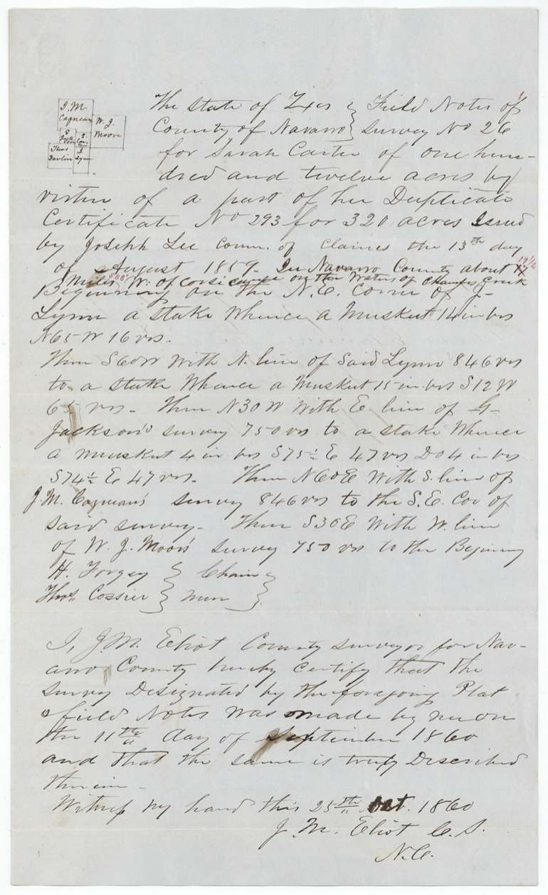
Survey No. 26, 112 acres, 'in Navarro County about 17 [red pencil: 14 1/2; S 88 W(?)] miles W of Corsicana on the waters of Chambers Creek'. Beginning at NE corner of J. Lynn; S 60 W with Lynn's N line 846 vrs; N 30 W with E line of G. Jackson's survey 750 vrs; N 60 E with S line of J. M. Cagman's(?) survey 846 vrs to its SE corner; S 30 E with W line of W. J. Moore's survey 750 vrs to beginning. Mesquite and post oak bearing trees.
Chain carriers: H. Forgey, Thos. Cossier(?).
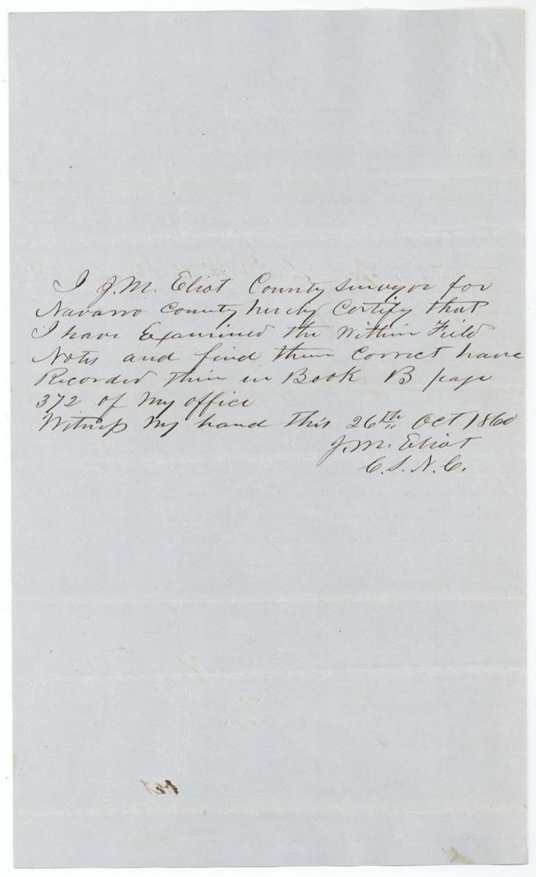
Book B p. 372
The survey
12 Sep 1860, J. M. Elliot.
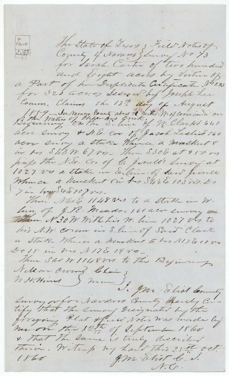
Survey No. 73, 208 acres, 'in Navarro County about 18(?) [red pencil 15 1/2] miles W of Corsicana on the waters of Chambers Creek'. Beginning on S line of W. Clark's 640-acre survey and NE corner of Jacob Leslie's 160-acre survey; S 30 E, at 950 vrs passing NE corner of C. Jewell's survey, 1027 vrs to stake in Jewell's E line; N 60 E 1148 vrs to stake in W line of J. R. Meador's(?) 160-acre survey; N 30 W with his W line 1027 vrs to his NW corner in S line of Clark; S 60 W 1148 vrs to beginning.
Chain carriers: Nelson Owens(?), W. H. Hines(?).
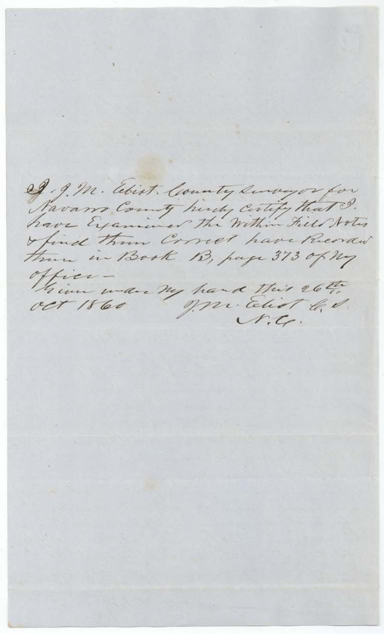
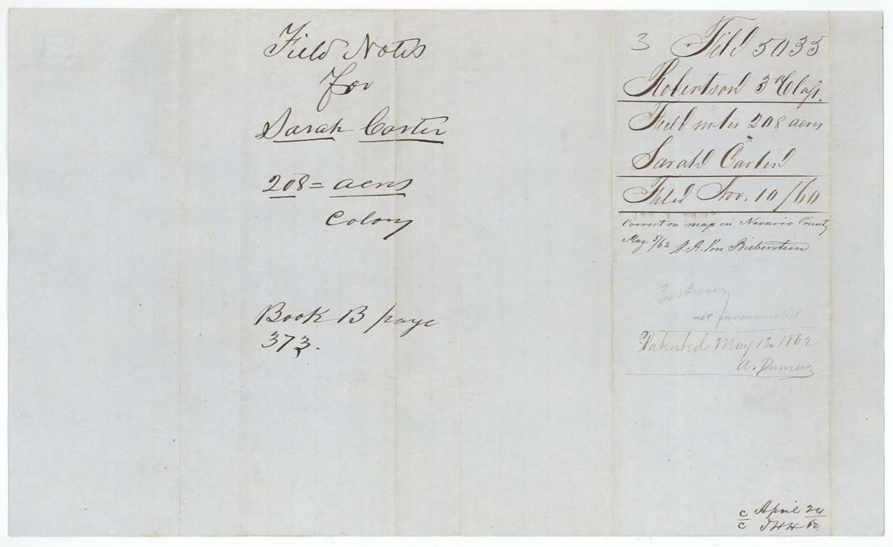
Book B p. 373
The patent
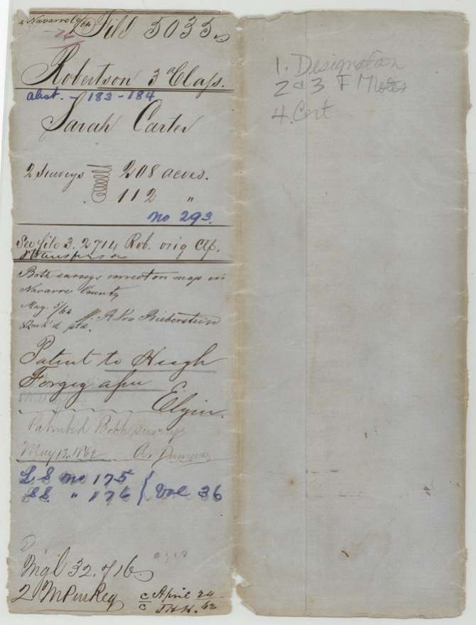
13 May 1862, Patent No. 175 and No. 176, Vol. 36, to Hugh Forgey, assignee, delivered to Elgin (written on jacket after 'Patent to Hugh Forgey ass'e').
Also in the file
- Abstract 183/184 file contains no transfer from Sarah Carter to Hugh Forgey; it is said to be in Robertson 3rd file 2714.
- Mileage from Corsicana corrected in red by GLO: 17 to 14 1/2 miles (survey 26), 18 to 15 1/2 (survey 73).
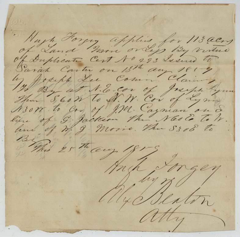
- 1859 application asked for 113 acres; the survey came out at 112.
- Two different attorneys act for Forgey a year apart: Alex. Beaton (1859) and J. C. C. Winch(?) (1860).
Timeline
- 28 Nov 1857Unlocated balance certificate for 320 acres issued to Sarah Carter by Commissioners of Claims
- 13 Aug 1859Original reported lost; duplicate No. 293 issued at Austin by Joseph Lee, Commissioner of Claims
- 25 Aug 1859Hugh Forgey, by Alex. Beaton atty, applies for 113 acres near Joseph Lynn
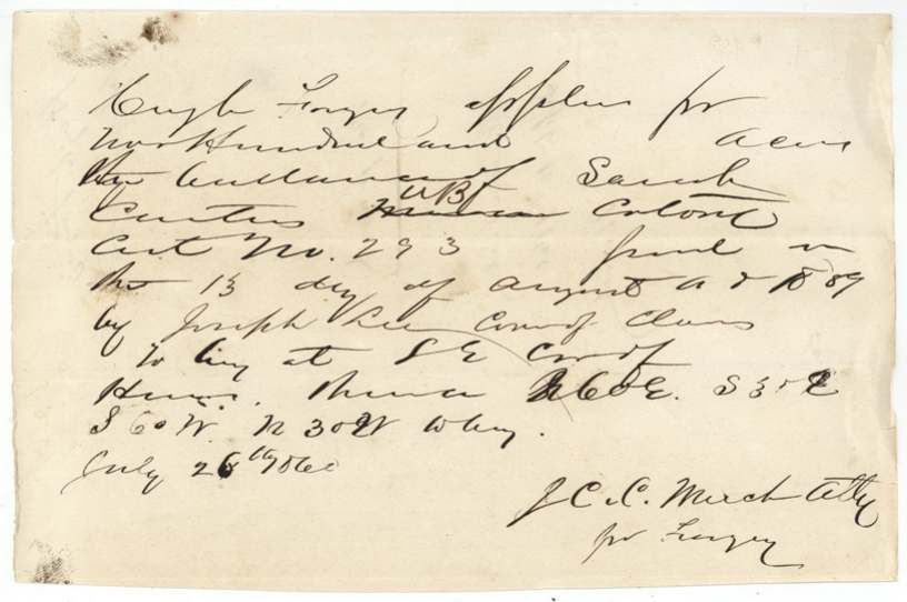
- 26 Jul 1860Forgey applies for the 200-odd-acre balance
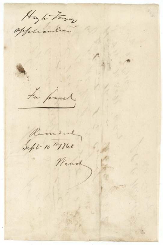
- 10 Sep 1860Second application recorded
- 11 Sep 1860Survey No. 26, 112 acres, Chambers Creek waters
- 12 Sep 1860Survey No. 73, 208 acres, Chambers Creek waters
- 26 Oct 1860Both field notes recorded Book B pp. 372-373
- 10 Nov 1860Papers filed in GLO
- 3 May 1862Map check correct (von Biberstein)
- 13 May 1862Both surveys patented to Hugh Forgey, assignee; patents 175-176, Vol. 36
The papers in the file
Every page of the Land Office file, in the order the Land Office keeps them (13 pages). Tap a page to see it larger.
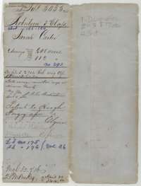 File jacketFile jacket for Sarah Carter's two surveys on Chambers Creek, with the map check of May 1862 and the patents to Hugh Forgey, assignee.General Land Office, file 5035, page 1 · in the scan
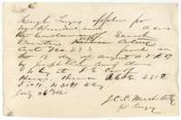 Other papersApplication of 26 July 1860 in which Hugh Forgey asks to locate the balance of Sarah Carter's colonist certificate No. 293.General Land Office, file 5035, page 2 · in the scan
 WrapperBack of the 1860 application, with Hugh Forgey's name and the recording note of 10 September 1860.General Land Office, file 5035, page 3 · in the scan
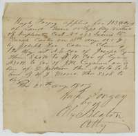 Other papersApplication of 25 August 1859 in which Hugh Forgey, by attorney Alex. Beaton, asks to locate 113 acres under Sarah Carter's duplicate certificate No. 293.General Land Office, file 5035, page 4 · in the scan
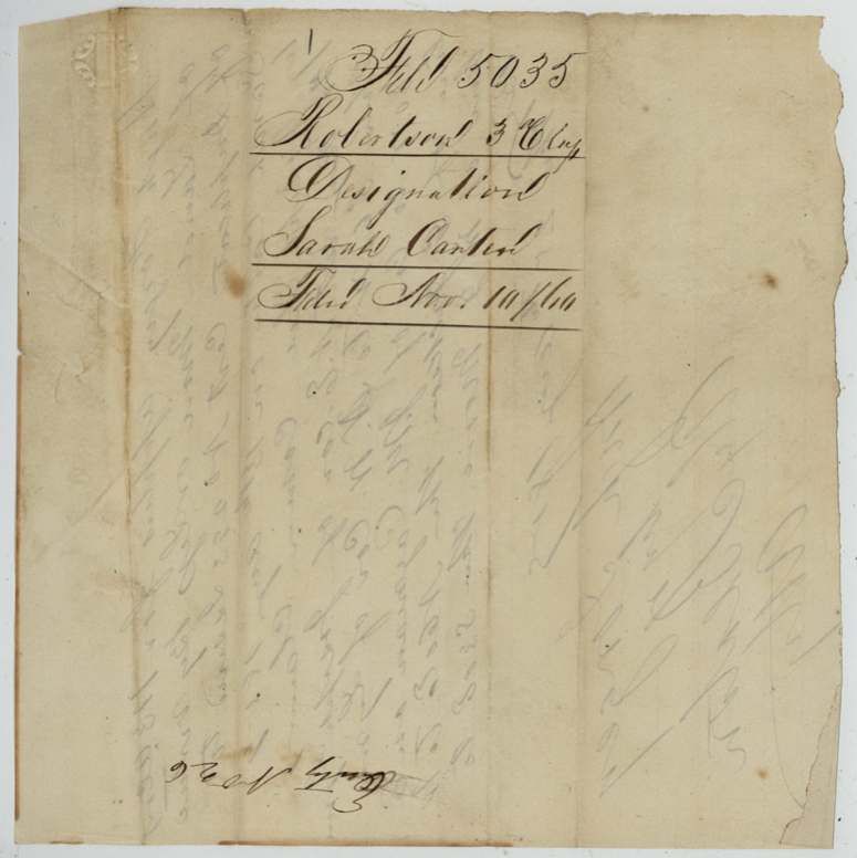
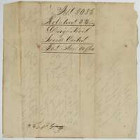 WrapperJacket for the designation of Sarah Carter's land, filed 10 November 1860.General Land Office, file 5035, page 5 · in the scan
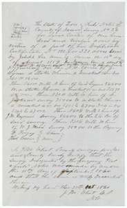 Field notesField notes and plat for survey No. 26, 112 acres on the waters of Chambers Creek, made for Sarah Carter by county surveyor J. M. Elliot, 11 September 1860.General Land Office, file 5035, page 6 · in the scan
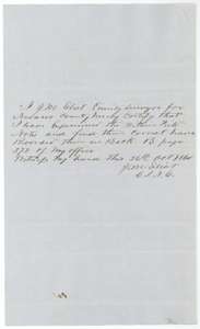 Surveyor's certificateCounty surveyor J. M. Elliot's certificate of 26 October 1860 that the 112-acre field notes are correct and recorded in Book B, page 372.General Land Office, file 5035, page 7 · in the scan
 WrapperWrapper for the 112-acre Sarah Carter field notes, with the patent entry and the Book B, page 372 recording note.General Land Office, file 5035, page 8 · in the scan
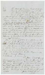 Field notesField notes and plat for survey No. 73, 208 acres on the waters of Chambers Creek, made for Sarah Carter by county surveyor J. M. Elliot, 12 September 1860.General Land Office, file 5035, page 9 · in the scan
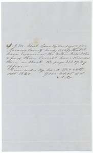 Surveyor's certificateCounty surveyor J. M. Elliot's certificate of 26 October 1860 that the 208-acre field notes are correct and recorded in Book B, page 373.General Land Office, file 5035, page 10 · in the scan
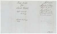 WrapperWrapper for the 208-acre Sarah Carter field notes, with the patent entry and the Book B, page 373 recording note.General Land Office, file 5035, page 11 · in the scan
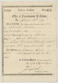 CertificateDuplicate certificate for the unlocated balance of 320 acres, issued to Sarah Carter by Commissioner of Claims Joseph Lee, 13 August 1859.General Land Office, file 5035, page 12 · in the scan
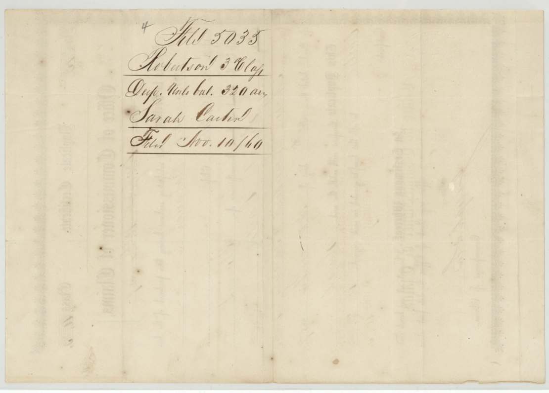
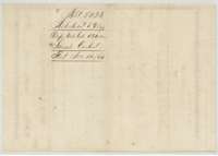 Back of the certificateJacket for the duplicate certificate, marked with Sarah Carter's name and 320 acres, filed 10 November 1860.General Land Office, file 5035, page 13 · in the scan
Scans courtesy of the Texas General Land Office, Austin, from its Land Grant Database.
Neighbouring surveys
Sources
- Texas General Land Office, Land Grant Database: Navarro County, Abstract 183
- The Land Office file, scanned (PDF, at the General Land Office)
- 1924 map: courtesy of the Texas General Land Office, Austin, Map 73249, used under licence. Topo: U.S. Geological Survey, The National Map. Aerial photographs: U.S. Department of Agriculture, National Agriculture Imagery Program, 2012, 2018 and 2022. Survey outlines: Railroad Commission of Texas, Original Texas Land Survey. Grant records and files: Texas General Land Office.