Blackland TX · ← All the original surveys
James Humphreys Survey, Abstract 894
- Granted to
- James Humphreys
- Kind of grant
- Headright, first classLand for settlers who were in Texas before independence, 2 March 1836.
- Land Office file
- Robertson 1st class, file 1371
- Certificate
- No. 22/97
- Acres
- 39
- Patented to
- Heirs of James Humphreys
- Patent
- 03 Jul 1884 · No. 215, Vol. 24
Tap a survey to open its page.
What the file shows
James Humphreys received headright certificate No. 89 for a league and labor from the Liberty County board on 1 February 1838, and most of it was located in Liberty and Milam counties. In December 1878 Navarro County Surveyor Henry K. Farrar used an unlocated balance of it (certificate 22/97) to survey, for A. S. Howren, a 39-acre strip of vacant land on Post Oak Creek squeezed between the C. Jarrett, F. Grimes and John Florence surveys. The Land Office doubted any vacancy existed, so in March 1880 Farrar found the old 1840s corners and bearing trees and showed a 100-vara gap caused by conflicting surveys of the Florence tract. The survey was accepted and patented on 3 July 1884 to the heirs of James Humphreys.
The certificate
headright 1st class (unlocated balance certificate), No. 22/97 (unlocated balance of headright certificate No. 89), One league and labor (original); this survey 220,300 square varas (about 39 acres), Original No. 89: Board of Land Commissioners of Liberty County. Balance certificate 22/97: issuer not stated in this file, Liberty County, 1838-02-01 (original certificate No. 89).
A league and labor, the first-class headright quantity for a married man; this file uses an unlocated balance certificate drawn from it
Changes of hand
- undatedJames Humphreys (or his heirs) → H. V. Hurlock (?). Only a cross-reference on the jacket: 'For deed to H. V. Hurlock see Lib. 1-114'. The deed itself is in Liberty file 1-114, not here.
The survey
1878-12-05 (certified 22 March 1879), Henry K. Farrar, County Surveyor of Navarro County.
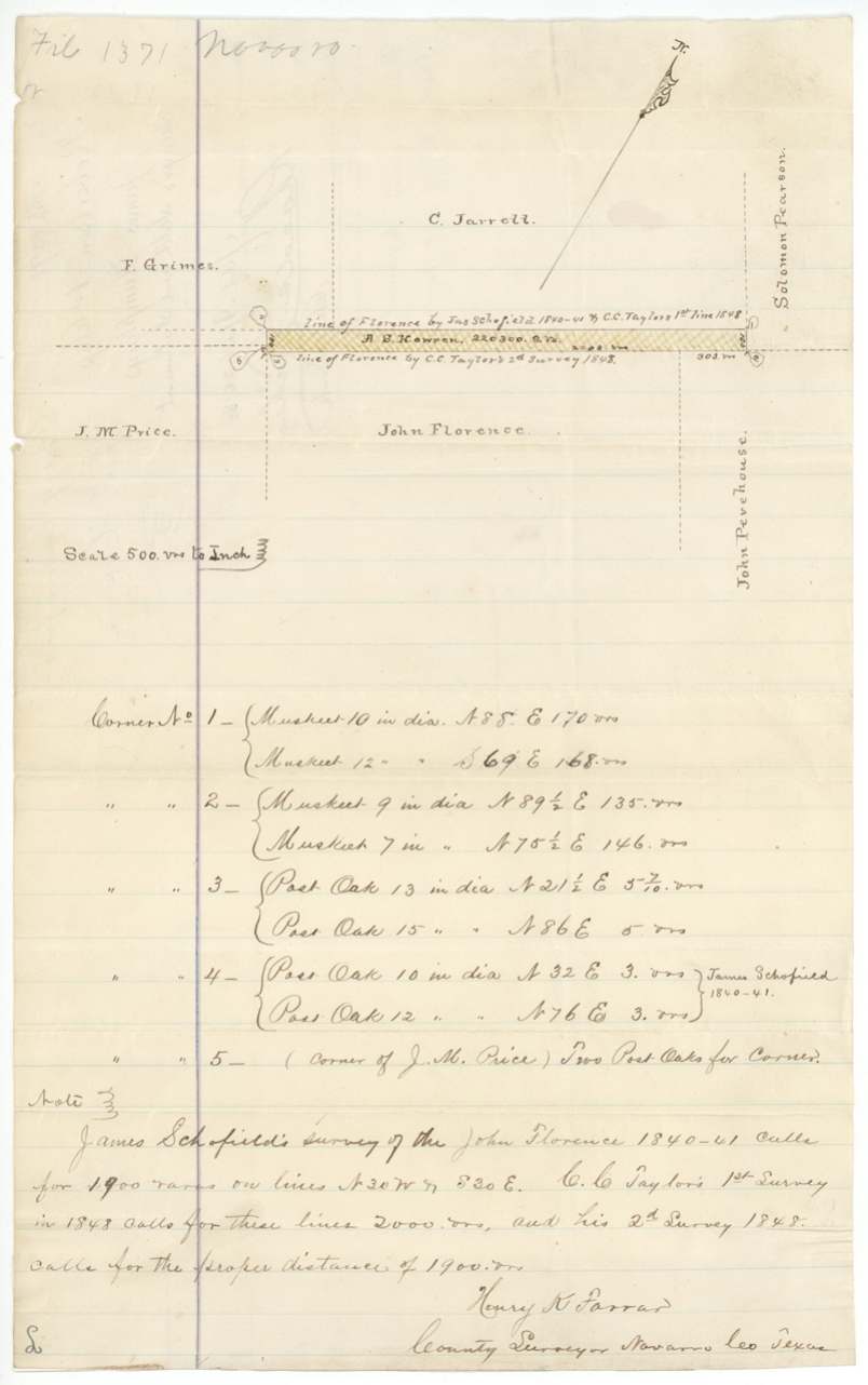
Navarro County about 16 3/4 miles S 77 W from Corsicana (both figures corrected in red) on the waters of Post Oak Creek; a strip 100 varas wide and 2,203 varas long, beginning at the SE corner of the C. Jarrett 640-acre survey, between Jarrett/F. Grimes on the north and John Florence on the south
Chain carriers: L. J. Spivey, Geo. Boyd.
Book C, pages 203-204, Navarro County surveyor's records, 22 March 1879
The patent
3 Jul 1884, No. 215, Vol. 24 (?), to Heirs of James Humphreys, delivered to A. S. Howren, Georgetown (?) (pencil on the contents panel; not stated as delivery).
Also in the file
- This 39-acre tract is a sliver of leftover land - 100 varas wide and more than a mile long - squeezed between older surveys on Post Oak Creek.
- The Land Office first doubted that any vacant land existed there: in June 1879 its draftsman wrote that the Grimes and Jarrett surveys joined Florence, so there was 'no vacancy', and asked for an explanation.
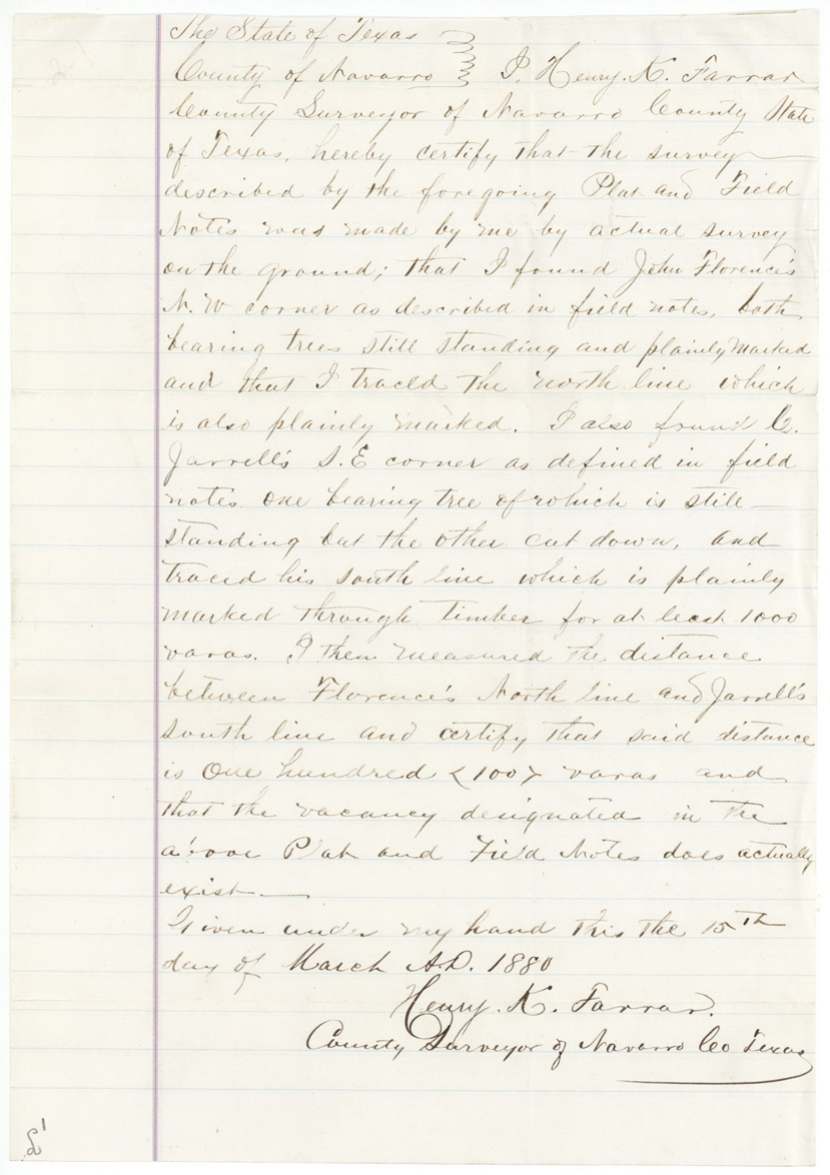
- The county surveyor went back, found the 1840s corners and marked trees still standing, and showed the gap came from conflicting surveys of the John Florence tract: James Schofield's 1840-41 survey called for 1,900 varas, C. C. Taylor's first survey in 1848 called for 2,000, and his second 1848 survey for 1,900.
- The work was done for A. S. Howren, but the patent went to the heirs of James Humphreys, the original 1838 grantee from Liberty County.
- A certificate issued in 1838 was still being used to claim land in 1878-84, more than forty years later.
Timeline
- 1 Feb 1838Liberty County board issues headright certificate No. 89 for a league and labor to James Humphreys
- 1840-1841James Schofield surveys the John Florence tract (per surveyor's note)
- 1848C. C. Taylor resurveys the Florence tract twice, with different line lengths (per surveyor's note)
- 5 Dec 1878County Surveyor Henry K. Farrar surveys 220,300 sq. vrs. on Post Oak Creek for A. S. Howren on the unlocated balance certificate 22/97
- 22 Mar 1879Field notes certified and recorded, Book C pp. 203-204
- 10 May 1879Field notes filed in the General Land Office
- 23 Jun 1879GLO draftsman C. W. Pressler questions whether any vacancy exists
- 15 Mar 1880Farrar certifies he found the old corners and that the 100-vara vacancy does exist
- 20 Mar 1880Survey accepted as correct on the Navarro County map
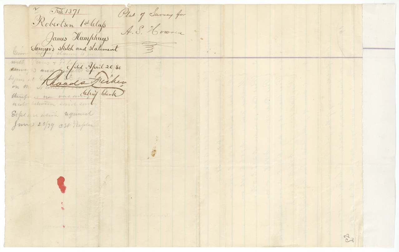
- 20 Apr 1880Surveyor's sketch and statement filed
- 24 Jun 1884Commissioner orders patent to the heirs of James Humphreys
- 3 Jul 1884Patented to the heirs of James Humphreys, No. 215
The papers in the file
Every page of the Land Office file, in the order the Land Office keeps them (6 pages). Tap a page to see it larger.
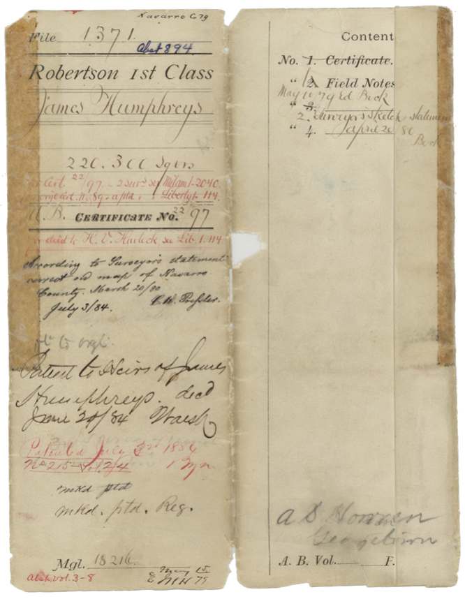
 File jacketFile jacket for the 220,300-square-vara survey for A. S. Howren on James Humphreys's headright balance, marked patented 3 July 1884.General Land Office, file 1371, page 1 · in the scan
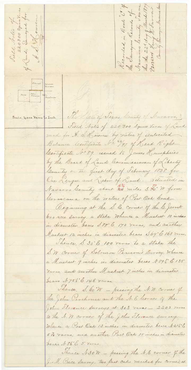
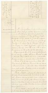 Field notesField notes and plat for 220,300 square varas on Post Oak Creek, surveyed by county surveyor Henry K. Farrar for A. S. Howren, 5 December 1878.General Land Office, file 1371, page 2 · in the scan
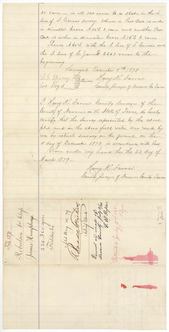
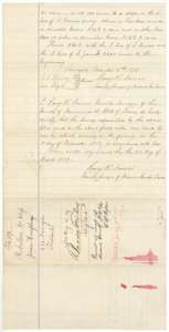 Field notesClose of Farrar's field notes, with his certificate of 22 March 1879 and the Land Office filing note of 10 May 1879.General Land Office, file 1371, page 3 · in the scan
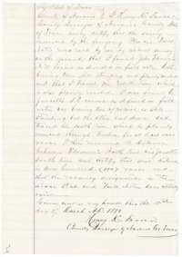 Surveyor's certificateSurveyor Henry K. Farrar's statement of 15 March 1880 that he found the old corners and that the 100-vara strip between the neighboring surveys does exist.General Land Office, file 1371, page 4 · in the scan
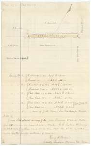 PlatSurveyor's sketch of the narrow strip between the Jarrett and Florence surveys, with notes on the bearing trees at each corner.General Land Office, file 1371, page 5 · in the scan
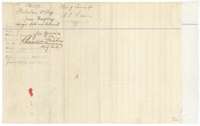 WrapperWrapper for the surveyor's sketch and statement, filed at the Land Office on 20 April 1880.General Land Office, file 1371, page 6 · in the scan
Scans courtesy of the Texas General Land Office, Austin, from its Land Grant Database.
Neighbouring surveys
Sources
- Texas General Land Office, Land Grant Database: Navarro County, Abstract 894
- The Land Office file, scanned (PDF, at the General Land Office)
- 1924 map: courtesy of the Texas General Land Office, Austin, Map 73249, used under licence. Topo: U.S. Geological Survey, The National Map. Aerial photographs: U.S. Department of Agriculture, National Agriculture Imagery Program, 2012, 2018 and 2022. Survey outlines: Railroad Commission of Texas, Original Texas Land Survey. Grant records and files: Texas General Land Office.