Blackland TX · ← All the original surveys
John Pevehouse Survey, Abstract 662
- Granted to
- John Pevehouse
- Kind of grant
- Donation warrantLand given for the battles of 1835–36: Bexar, the Alamo, San Jacinto.
- Land Office file
- Robertson Donation, file 123
- Certificate
- No. 406
- Acres
- 640
- Patented to
- John Pevehouse
- Patent
- 05 Nov 1845 · No. 122, Vol. 1
Tap a survey to open its page.
What the file shows
John Pevehouse received Republic of Texas donation certificate No. 406 for 640 acres at Houston on 2 July 1838 for having fought at the siege of Bexar, 5-10 December 1835. Deputy surveyor James Scofield located it on the waters of Richland Creek as Section XVII, adjoining Section XVI on J. Knotts' northwest line, with John Hardesty and Eli Smith carrying chain; Scofield swore to it at Franklin on 1 February 1841 and county surveyor Edwin LeRoy Patton approved it in June 1841. The Acting Secretary of War approved the certificate on 13 September 1845, and the land was patented to Pevehouse himself on 5 November 1845 (No. 122, Vol. 1).
The certificate
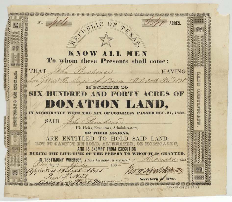
donation, No. 406, 640 acres, Geo. W. Hockley, Secretary of War, Republic of Texas; approved 13 Sept 1845 by Benj. F. Hill, Acting Secretary of War and Marine, Houston, 2 Jul 1838.
John Pevehouse, 'having fought at the siege of Bexar 5th to 10th Decr 1835', is entitled to 640 acres of Donation Land under the Act of Congress passed Dec. 21, 1837. Printed form: the land 'cannot be sold, alienated or mortgaged, and is exempt from execution during the life-time of the person to whom it is granted'.
The survey
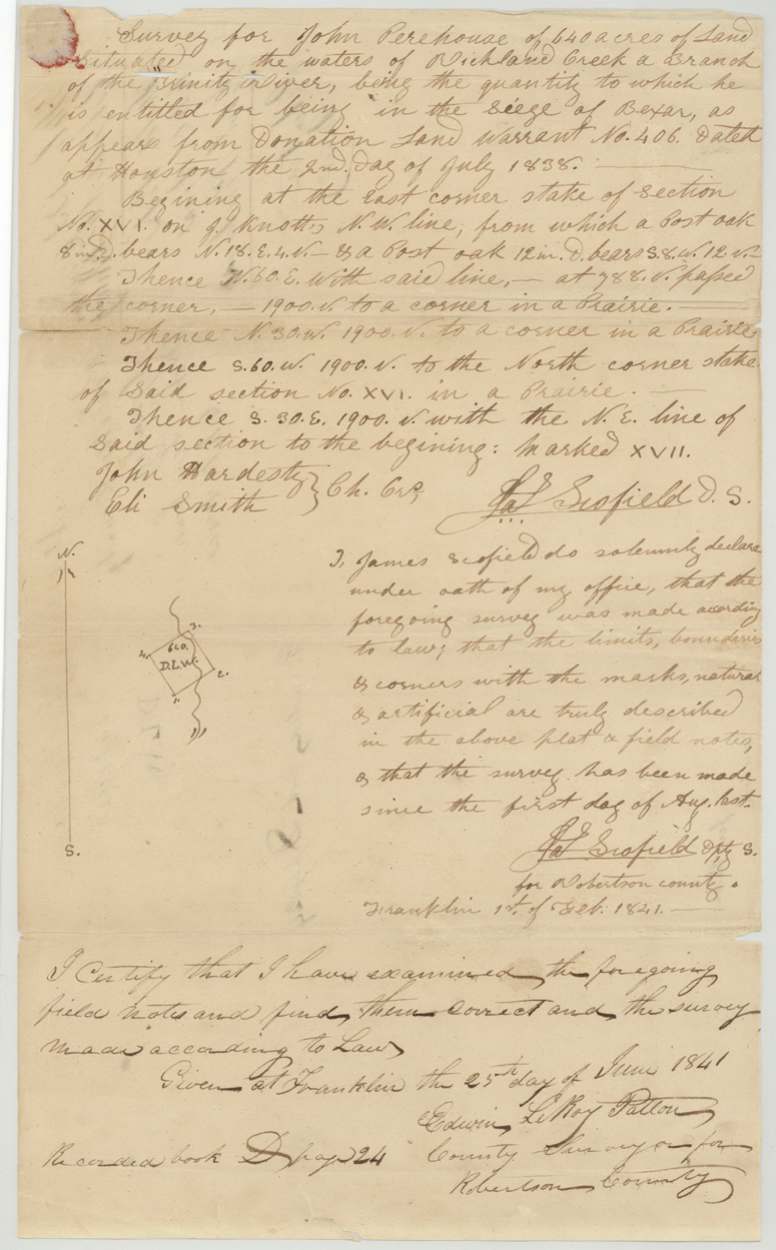
made since 1 Aug 1840; oath sworn at Franklin 1 Feb 1841, Jas. (James) Scofield.
640 acres 'situated on the waters of Richland Creek, a branch of the Trinity River, being the quantity to which he is entitled for being in the siege of Bexar, as appears from Donation Land Warrant No. 406 dated at Houston the 2nd day of July 1838'. Beginning at the east corner stake of Section No. XVI on J. Knotts' N.W. line (post oaks); N 60 E with said line, at 788 v passed the corner, 1900 v to a corner in a prairie; N 30 W 1900 v to corner in prairie; S 60 W 1900 v to the north corner stake of said Section XVI in a prairie; S 30 E 1900 v with the N.E. line of said section to the beginning. Marked XVII.
Chain carriers: John Hardesty, Eli Smith.
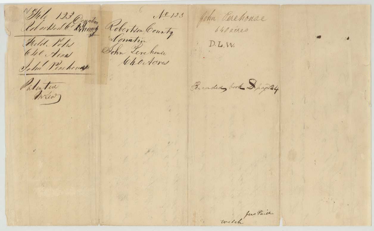
Book D p. 24 (Robertson County)
The patent
5 Nov 1845, No. 122, Vol. 1, to John Pevehouse, delivered to not stated.
Also in the file
- Certificate issued 1838 but not approved by the Acting Secretary of War until 13 Sept 1845 - the patent followed within two months.
- No transfer: one of the few files in the batch patented to the original grantee.
- Section numbering (XVI, XVII) suggests Scofield laid out a block of numbered sections along J. Knotts' line.
Timeline
- 1835-12-05/10John Pevehouse fights at the siege of Bexar
- 21 Dec 1837Act of Congress for donation lands
- 2 Jul 1838Donation certificate No. 406 (640 ac) issued at Houston by Sec. of War Geo. W. Hockley
- 1840-08/1841-02James Scofield surveys Section XVII on waters of Richland Creek
- 1 Feb 1841Scofield's oath at Franklin
- 25 Jun 1841Examined by county surveyor E. L. Patton; recorded Book D p. 24
- 13 Sep 1845Certificate approved by Benj. F. Hill, Acting Sec. of War and Marine
- 5 Nov 1845Patent No. 122 Vol. 1 to John Pevehouse
The papers in the file
Every page of the Land Office file, in the order the Land Office keeps them (5 pages). Tap a page to see it larger.
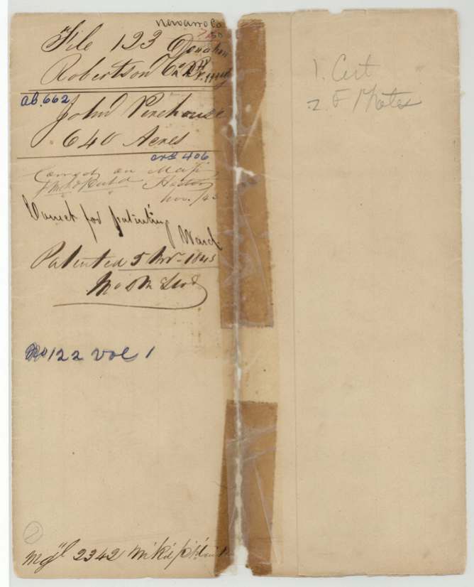
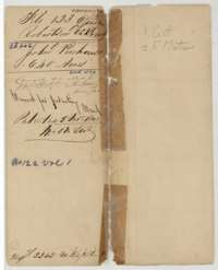 File jacketFile jacket for the Robertson County Donation file of John Pevehouse, 640 acres, patented 5 November 1845 as No. 122, Volume 1.General Land Office, file 123, page 1 · in the scan
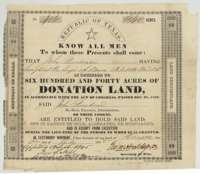 CertificateRepublic of Texas donation land certificate No. 406 for 640 acres, issued 2 July 1838 to John Pevehouse, who fought at the siege of Bexar in December 1835.General Land Office, file 123, page 2 · in the scan
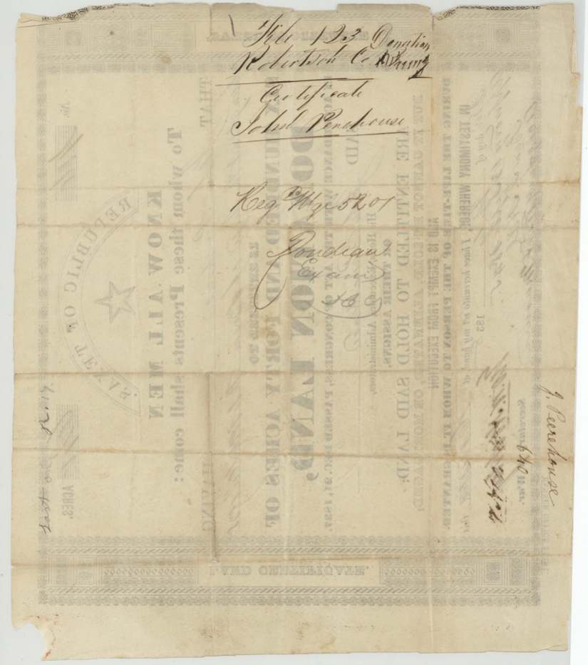
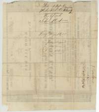 Back of the certificateBack of the donation certificate, with the printed form showing through and file notes naming John Pevehouse.General Land Office, file 123, page 3 · in the scan
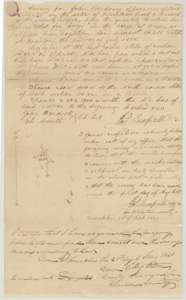 Field notesField notes for 640 acres on Richland Creek waters, surveyed for John Pevehouse by deputy surveyor James Scofield, with examination by County Surveyor Edwin LeRoy Patton, 25 June 1841.General Land Office, file 123, page 4 · in the scan
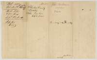 WrapperWrapper for the field notes of John Pevehouse, 640 acres, recorded in Book D, page 24.General Land Office, file 123, page 5 · in the scan
Scans courtesy of the Texas General Land Office, Austin, from its Land Grant Database.
On this ground today
- CemeteryOld Pevehouse Cemetery
Places that stand inside this survey’s lines as the state’s survey map draws them.
Neighbouring surveys
Sources
- Texas General Land Office, Land Grant Database: Navarro County, Abstract 662
- The Land Office file, scanned (PDF, at the General Land Office)
- 1924 map: courtesy of the Texas General Land Office, Austin, Map 73249, used under licence. Topo: U.S. Geological Survey, The National Map. Aerial photographs: U.S. Department of Agriculture, National Agriculture Imagery Program, 2012, 2018 and 2022. Survey outlines: Railroad Commission of Texas, Original Texas Land Survey. Grant records and files: Texas General Land Office.