Blackland TX · ← All the original surveys
James M. Price Survey, Abstract 649
- Granted to
- James M. Price
- Kind of grant
- Headright, third classLand for later settlers, including the colonists of Mercer’s Colony.
- Land Office file
- Robertson 3rd class, file 332
- Certificate
- No. 36
- Acres
- 640
- Patented to
- James M. Price
- Patent
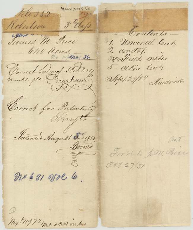
- 05 Aug 1851 · No. 681, Vol. 6
Tap a survey to open its page.
What the file shows
James M. Price received a conditional 640-acre headright from the Washington County land board on 5 December 1839 under the 1839 law for late emigrants, and in December 1841 the county clerk certified it had passed the board for detecting fraudulent claims as genuine. James Scofield first surveyed it in 1840-41 as Section XV on the west side of Richland Creek, next to Patience Howard's Section XIV, but in April 1846 David R. Mitchell resurveyed it at the head of Post Oak Creek between the J. Florence and J. A. Ramsey surveys. After Price proved three years' residence, the Brazos County board at Boonville issued his unconditional certificate on 28 August 1848; the first survey was cancelled in favour of the resurvey in February 1851, and the land was patented to Price on 2 August 1851.
The certificate
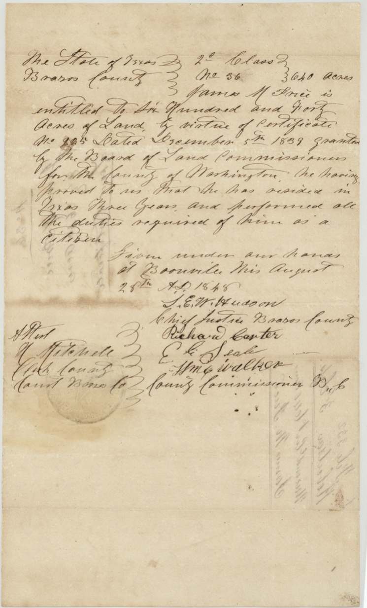
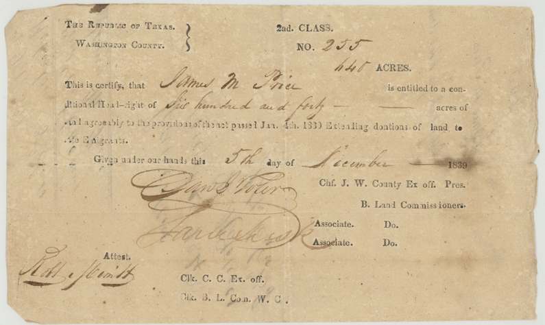
headright 3rd class (conditional certificate under the Act of 4 Jan 1839 on a printed '2nd Class' form, later made unconditional), No. Conditional No. 255; Unconditional No. 36, 640 acres, Conditional: Board of Land Commissioners, Washington County — signed by the Chief Justice of Washington County as ex officio President (signature read Jno. G. Foster(?)) and an Associate (signature unclear); attest Robt. Merritt(?), Clk. C.C. and ex officio Clk. B.L.Com. W.C. Unconditional: Brazos County — S. E. W. Hudson(?), Chief Justice Brazos County; Richard Carter, E. E. Seale(?), Wm. C. Walker, County Commissioners; attest H. Mitchell, Clerk County Court Brazos Co., Washington County (conditional); Boonville, Brazos County (unconditional), Conditional 1839-12-05; Unconditional 1848-08-28.
Conditional: a conditional headright of 640 acres 'agreeably to the provisions of the act passed Jan. 4th 1839 extending donations of land to late emigrants.' Unconditional: he proved he had resided in Texas three years and performed all the duties required of him as a citizen.
The survey
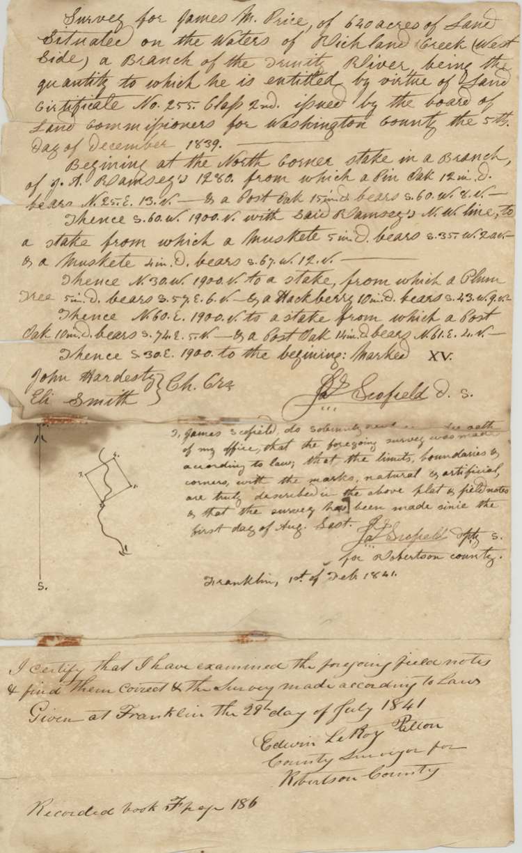
between 1840-08-01 and 1841-02-01 (oath at Franklin 1 Feb 1841), Jas. Scofield.
Waters of Richland Creek (west side), a branch of the Trinity River; 640 acres marked Section XV
Chain carriers: John Hardesty, Eli Smith.
Book F, page 186
The survey
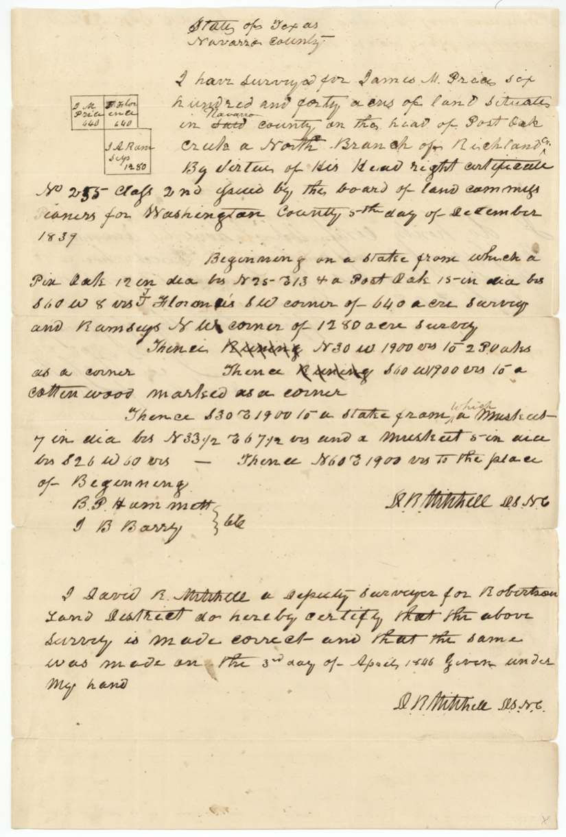
3 Apr 1846, D. R. (David R.) Mitchell.
Navarro County ('said' struck, 'Navarro' interlined), on the head of Post Oak Creek, a north branch of Richland Creek; 640 acres
Chain carriers: B. P. Hammett(?), J. B. Barry(?).
Book M, page 308
The patent
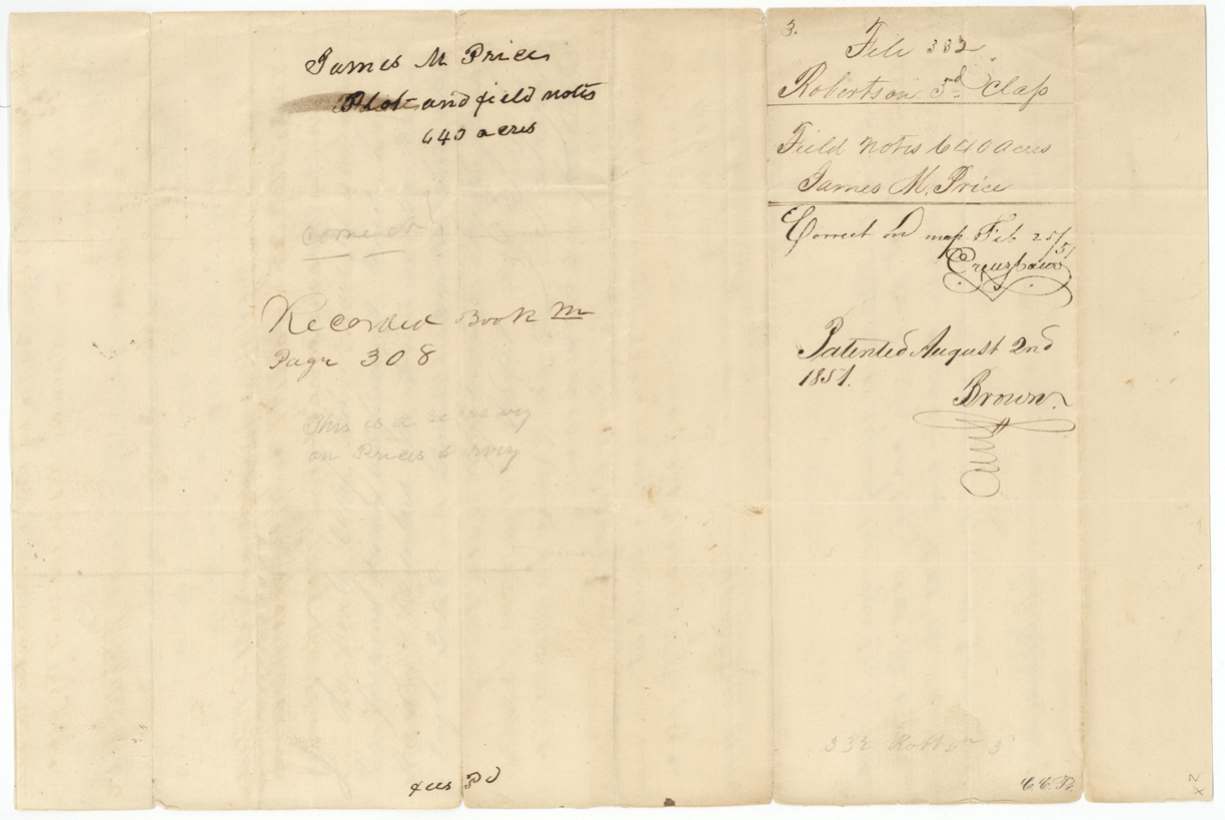
1851-08-02 (outer wrapper has '5' written above '2nd'), No. 681, Vol. 6, to James M. Price, delivered to J. M. Price — 'For'd to J. M. Price Oct 27/51'.
Also in the file
- Price's land was surveyed twice: first in 1840-41 by James Scofield as 'Section XV' on Richland Creek, then resurveyed in 1846 by David R. Mitchell at the head of Post Oak Creek; the first survey was cancelled in favour of the resurvey in February 1851.
- His first survey (Section XV) was made by the same surveyor, at the same time and with the same chain carrier (John Hardesty) as Patience Howard's Section XIV (A-352) — they were neighbours in the same numbered block.
- The certificate passed the 1840 board set up to weed out fraudulent land claims — a clerk certified it genuine in December 1841.
- The conditional certificate came from Washington County and the unconditional one from Brazos County at Boonville, nine years later, showing Price moved or that his residence was proved in a different county.
- The printed 1839 form says '2nd Class', yet the law it cites is the third-class law, and the GLO files it as 3rd class.
- The 1846 resurvey was not examined and recorded until about January 1851 — almost five years later.
Timeline
- 5 Dec 1839Washington County board issues conditional certificate No. 255 for 640 acres to James M. Price
- 1840-08 to 1841-02James Scofield surveys Section XV on the west side of Richland Creek against J. A. Ramsey
- 29 Jul 1841Robertson County surveyor examines the field notes; recorded Book F p. 186
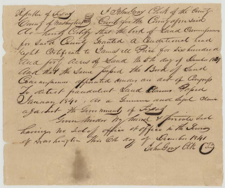
- 6 Dec 1841Washington County clerk John Gray certifies the claim passed the fraud-detection board as genuine
- 3 Apr 1846David R. Mitchell resurveys 640 acres at the head of Post Oak Creek, between J. Florence and J. A. Ramsey
- 28 Aug 1848Brazos County board at Boonville issues unconditional certificate No. 36; conditional certificate cancelled the same day
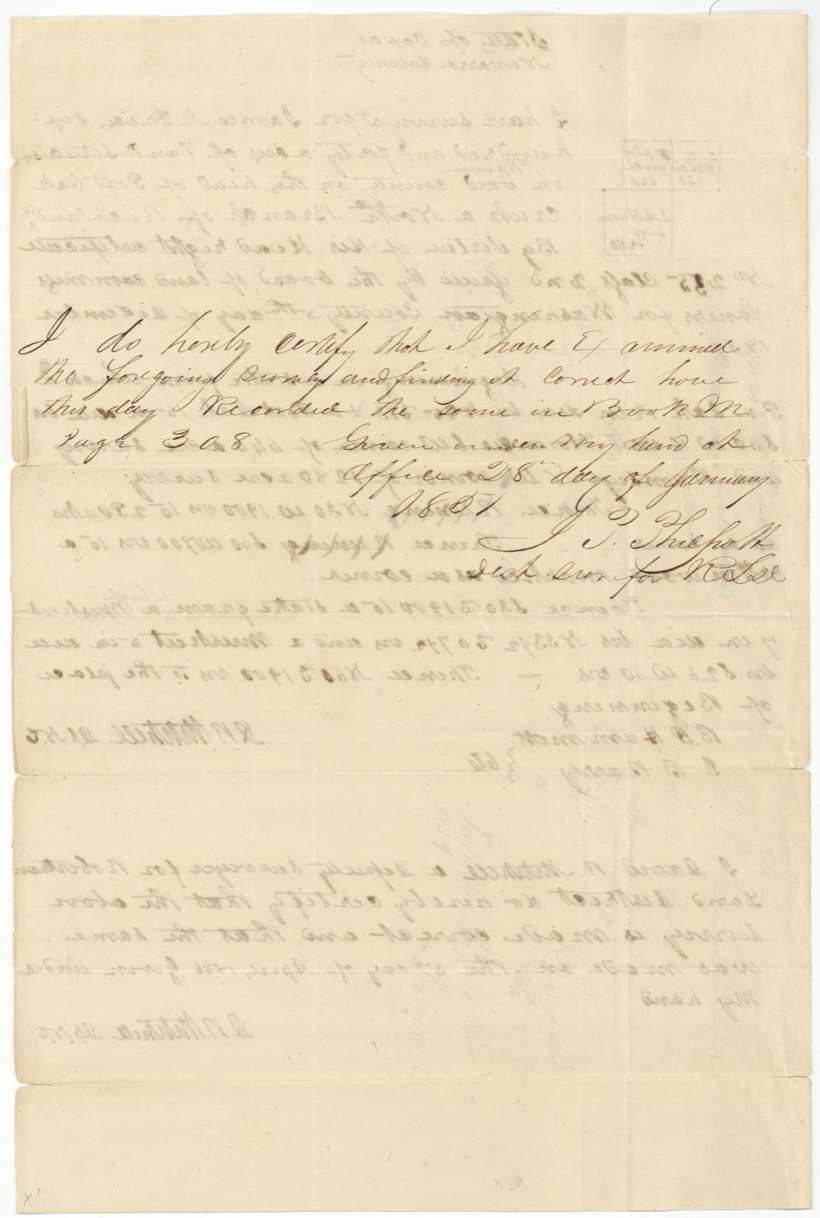
- 28 Jan 1851District Surveyor Philpott records the resurvey, Book M p. 308 (year uncertain)
- 25 Feb 1851Checked correct on map; first survey cancelled by the resurvey
- 2 Aug 1851Patented to James M. Price, No. 681 Vol. 6
- 27 Oct 1851Patent forwarded to J. M. Price
The papers in the file
Every page of the Land Office file, in the order the Land Office keeps them (12 pages). Tap a page to see it larger.
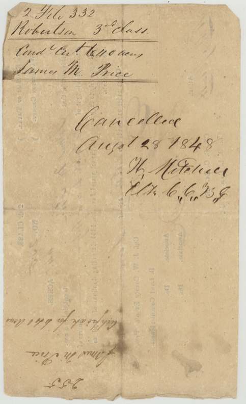
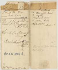 WrapperOuter wrapper for James M. Price's 640-acre headright file, with the patent entry of 2 August 1851 and a list of the papers inside.General Land Office, file 332, page 1 · in the scan
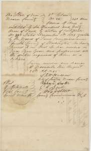 CertificateUnconditional headright certificate No. 36 for 640 acres, issued to James M. Price by the Brazos County board at Boonville, 28 August 1848.General Land Office, file 332, page 2 · in the scan
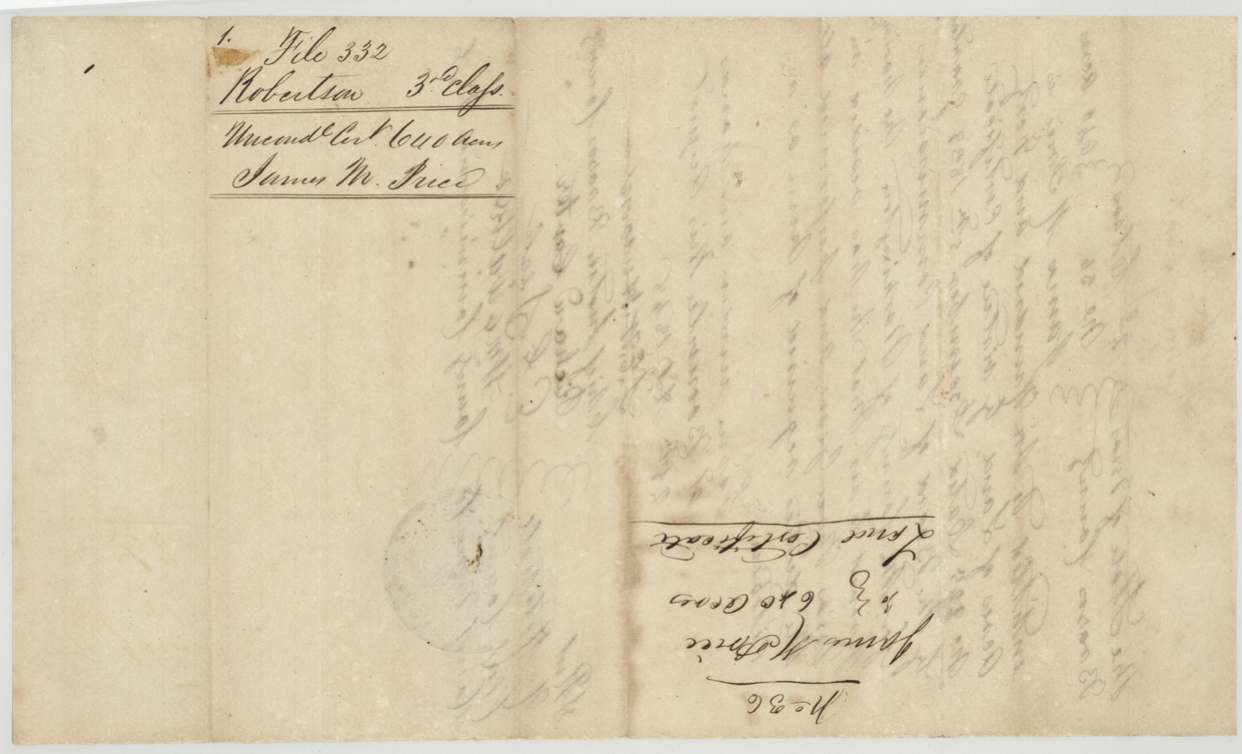
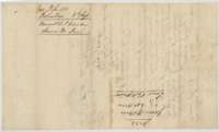 Back of the certificateJacket and back of the unconditional certificate, with the file docket for James M. Price.General Land Office, file 332, page 3 · in the scan
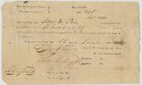 CertificateConditional headright certificate No. 255 for 640 acres, issued to James M. Price by the Washington County land board, 5 December 1839.General Land Office, file 332, page 4 · in the scan
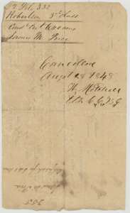 Back of the certificateBack of the conditional certificate, marked cancelled on 28 August 1848 when the unconditional certificate was issued.General Land Office, file 332, page 5 · in the scan
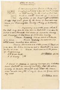 Field notesField notes and plat for 640 acres at the head of Post Oak Creek, surveyed for James M. Price by deputy surveyor David R. Mitchell, 3 April 1846.General Land Office, file 332, page 6 · in the scan
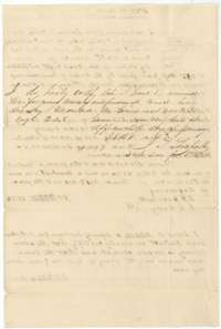 Surveyor's certificateSurveyor's certificates examining the 1846 field notes and recording them in Book M, page 308.General Land Office, file 332, page 7 · in the scan
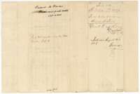 DocketDocket for the 1846 field notes of James M. Price, recorded in Book M, page 308, and patented 2 August 1851.General Land Office, file 332, page 8 · in the scan
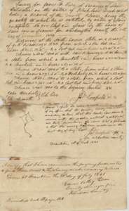 Field notesField notes and plat for 640 acres on Richland Creek, marked Section XV, surveyed for James M. Price by James Scofield, with examination of 29 July 1841.General Land Office, file 332, page 9 · in the scan
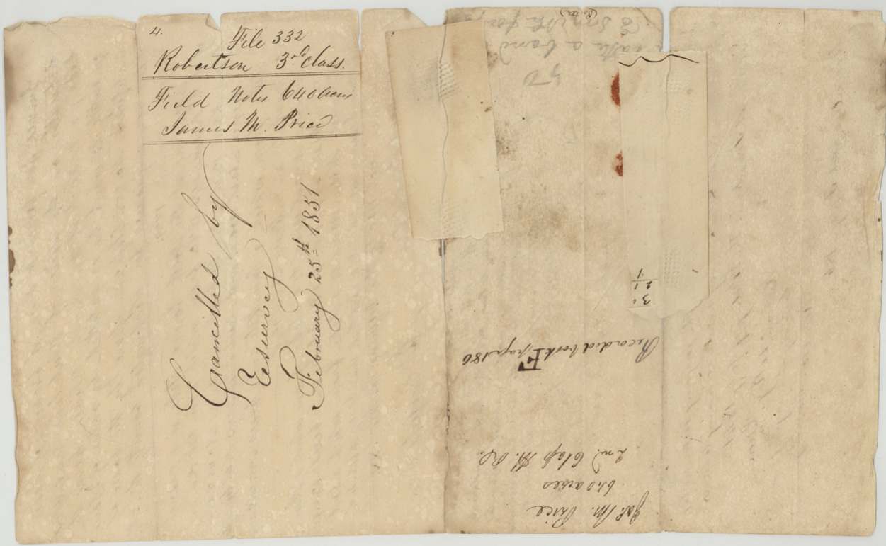
 DocketJacket for the first field notes of James M. Price, marked cancelled by resurvey on 25 February 1851.General Land Office, file 332, page 10 · in the scan
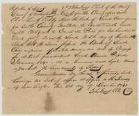 AffidavitClerk's certificate of 6 December 1841 that the Washington County land board granted James M. Price a conditional headright of 640 acres, passed as genuine.General Land Office, file 332, page 11 · in the scan
 DocketJacket for the clerk's certificate in the file of James M. Price, Robertson 3rd Class.General Land Office, file 332, page 12 · in the scan
Scans courtesy of the Texas General Land Office, Austin, from its Land Grant Database.
Neighbouring surveys
Sources
- Texas General Land Office, Land Grant Database: Navarro County, Abstract 649
- The Land Office file, scanned (PDF, at the General Land Office)
- 1924 map: courtesy of the Texas General Land Office, Austin, Map 73249, used under licence. Topo: U.S. Geological Survey, The National Map. Aerial photographs: U.S. Department of Agriculture, National Agriculture Imagery Program, 2012, 2018 and 2022. Survey outlines: Railroad Commission of Texas, Original Texas Land Survey. Grant records and files: Texas General Land Office.