Blackland TX · ← All the original surveys
William R. Bowen Survey, Abstract 71
- Granted to
- William R. Bowen
- Kind of grant
- Headright, first classLand for settlers who were in Texas before independence, 2 March 1836.
- Land Office file
- Robertson 1st class, file 1225
- Certificate
- No. 15/376
- Acres
- 260.36
- Patented to
- Jacob Eliot
- Patent
- 18 Jun 1873 · No. 444, Vol. 19
Tap a survey to open its page.
What the file shows
William R. Bowen's first-class headright, originally issued by the Montgomery County land board, still had a large unlocated balance when the Land Office reissued it in 1868. In 1870 J. M. Eliot entered part of it in Navarro County, and in 1872 County Surveyor John W. Irwin surveyed 309 acres on Chambers Creek about 16 miles west of Corsicana. The Land Office found it overlapped J. H. Powell's patented tract, so it was re-measured in 1873 and cut to 260 acres. The patent issued in June 1873 to Jacob Eliot as assignee.
The certificate
headright 1st class, No. Unlocated-balance certificate ('U.B. Cert. 15/376' on jacket), Balance certificate for 17,361,561 square varas (about 3,075 acres); this survey 1,469,852 sq varas (about 260 acres) after correction, Unlocated balance: Joseph Spence, Commissioner of the General Land Office; original certificate by the Board of Land Commissioners of Montgomery County, Balance: Austin (GLO); original: Montgomery County, Balance certificate 1868-02-22; original date not in this file.
Part of the unlocated balance of William R. Bowen's first-class headright; original and balance certificates are in other files - jacket: 'see files Rob. 1, 1108 & 1119 for orgl & U.B.; see 1122, 1133, 1159, 1161, 1173 & 1216 Rob. 1 other surveys'
The survey
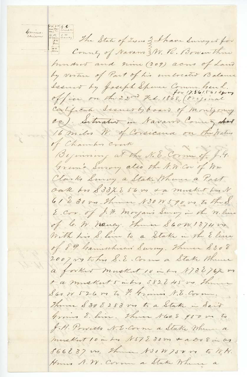
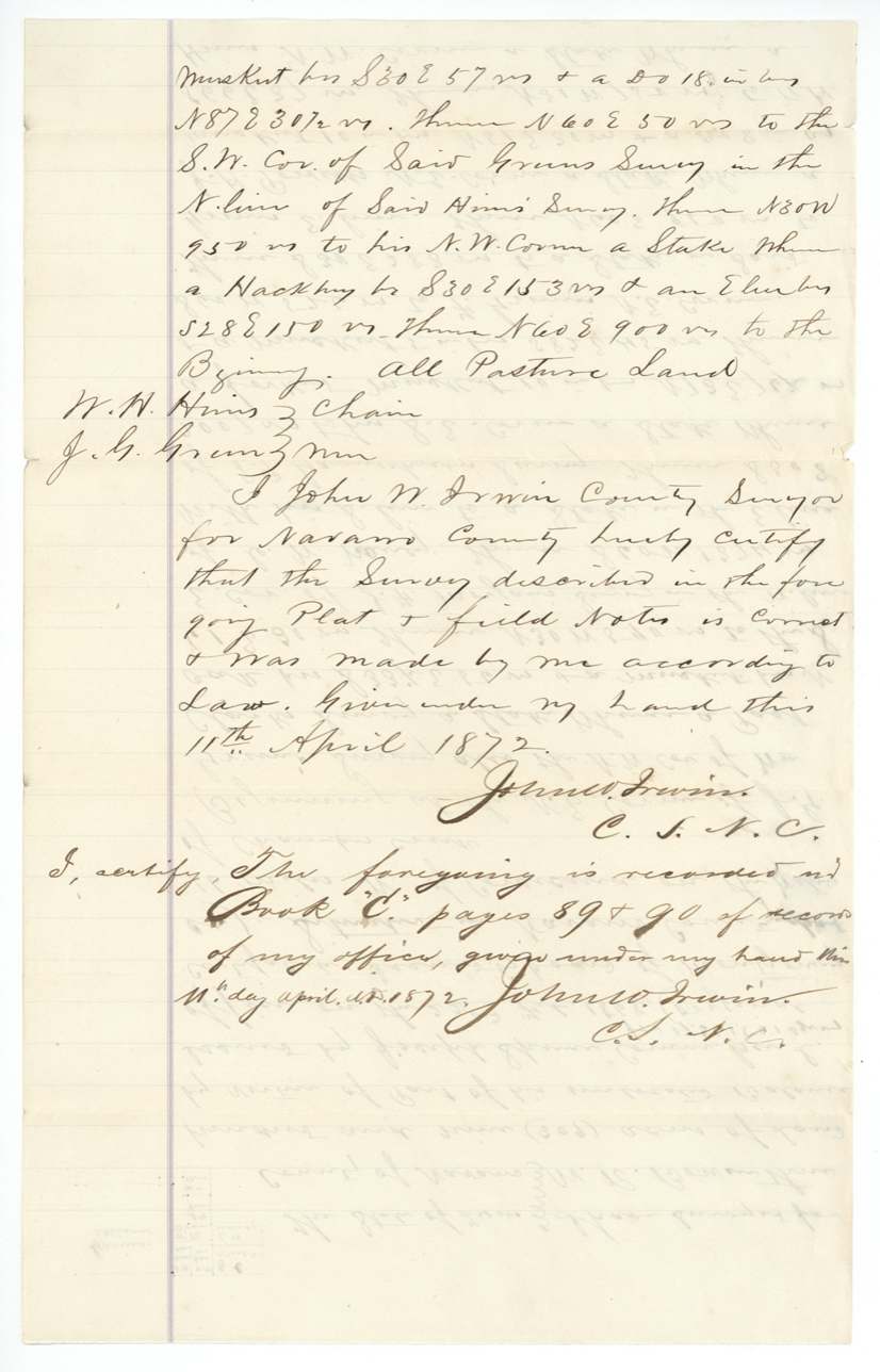
certified 1872-04-11, John W. Irwin, County Surveyor, Navarro County.
Navarro County about 16 miles W of Corsicana on the waters of Chambers Creek
Chain carriers: W. H. Hines, J. G. Green.
Navarro County Book C, pages 89 and 90
The survey
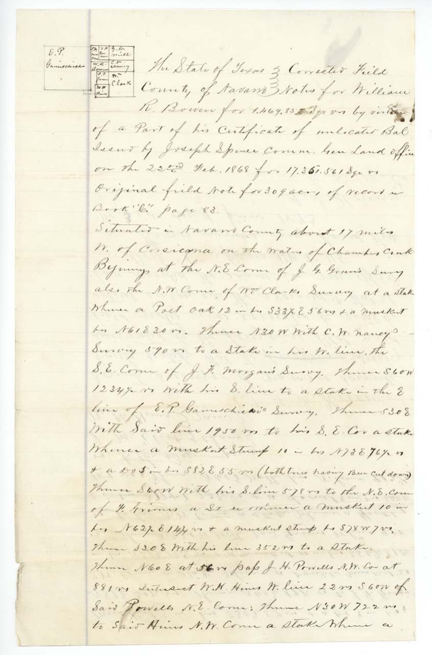
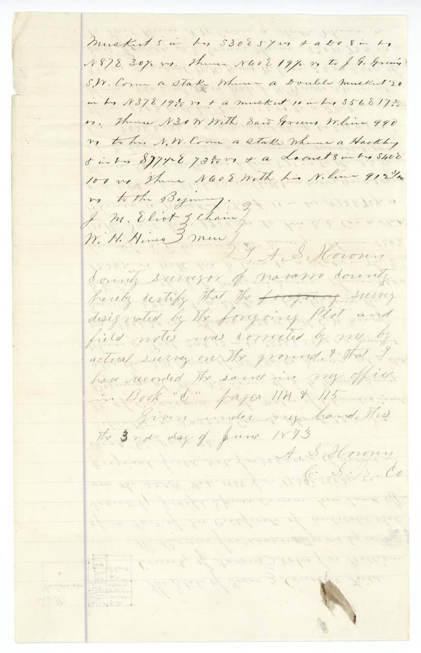
3 Jun 1873, A. S. Horren(?), County Surveyor, Navarro County.
about 17 miles W of Corsicana on the waters of Chambers Creek
Chain carriers: J. M. Eliot, W. H. Hines.
Navarro County Book C, pages 114 and 115
The patent
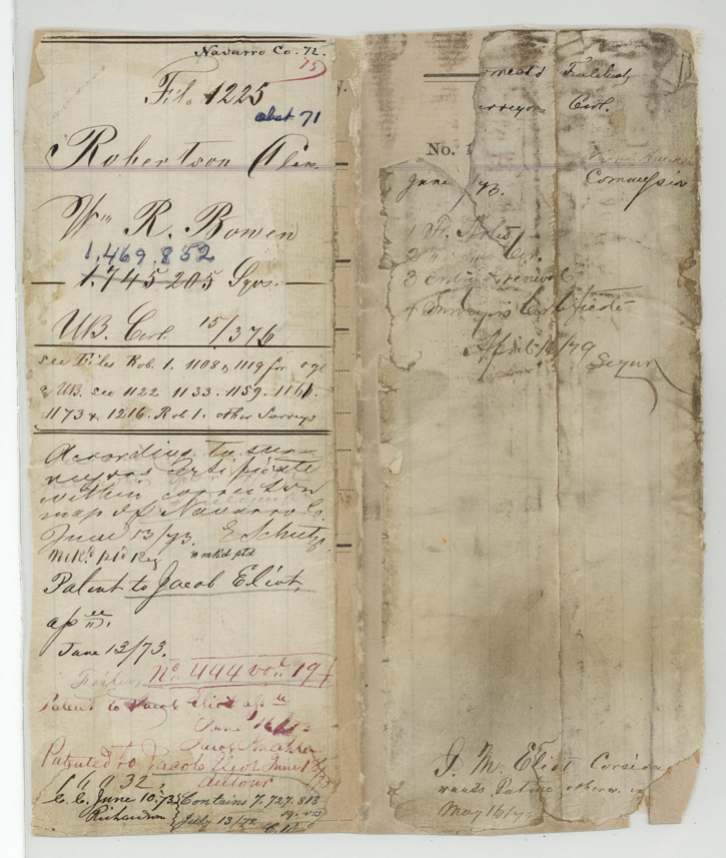
1873-06-13 (a red-ink note reads June 18/73), No. 444, Vol. 19, to Jacob Eliot, assignee, delivered to not stated; jacket note 'J. M. Eliot, Corsicana, wants patent there' dated May 16/7?.
Also in the file
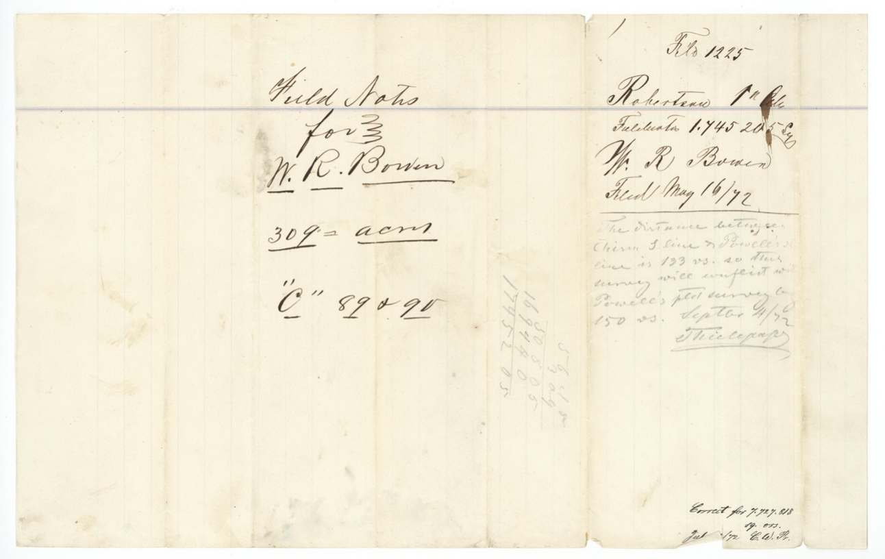
- The first survey (309 acres) was found by the Land Office draftsman to overlap J. H. Powell's already-patented survey by about 150 varas, so the county surveyor went back in 1873, re-measured, and cut it to 260 acres.
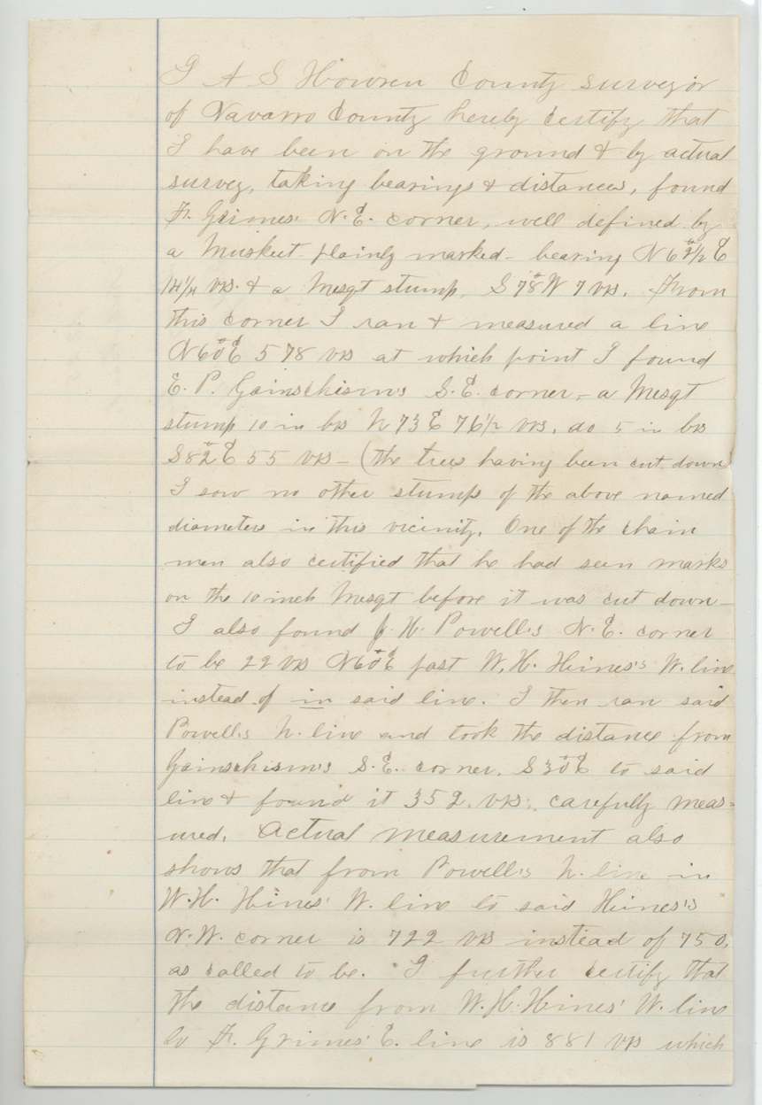
- On re-measuring he found Powell's NE corner 22 varas past Hines's west line rather than on it, Hines's line 722 varas instead of the called 750, and the old witness trees cut down - a chain man vouched he had seen the marks before they were felled.
- The patent went to Jacob Eliot as assignee, but no deed from Bowen to any Eliot is in this file; the entry was made by J. M. Eliot, who was also a chain carrier on the corrected survey.
- Bowen's unlocated balance was spread over at least eight separate files.
Timeline
- 22 Feb 1868GLO issues W. R. Bowen's unlocated-balance certificate for 17,361,561 sq varas
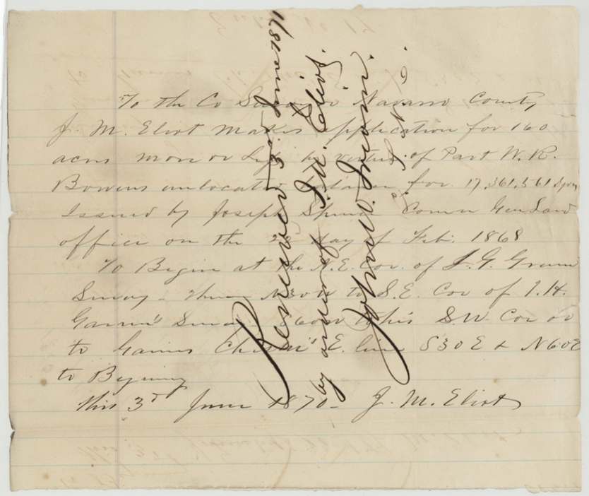
- 3 Jun 1870J. M. Eliot files entry No. 17 with the Navarro County Surveyor for 160 acres of Bowen's balance
- 11 Apr 1872County Surveyor John W. Irwin certifies survey of 309 acres on Chambers Creek
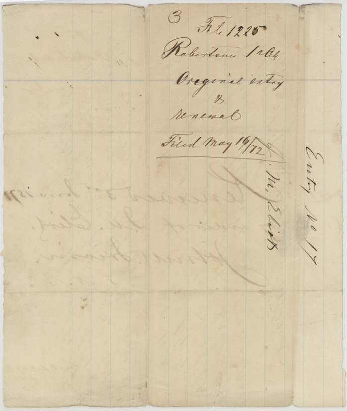
- 16 May 1872Field notes, entry and renewal filed in the GLO
- 4 Sep 1872GLO draftsman notes conflict with Powell's patented survey
- 3 Jun 1873Corrected field notes, 260 acres, recorded Book C pp. 114-115
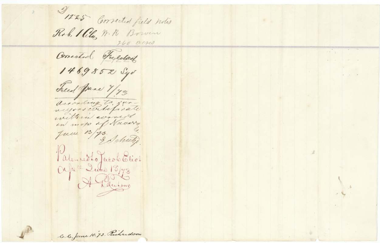
- 7 Jun 1873Corrected notes and surveyor's certificate filed in GLO
- 13 Jun 1873Patent No. 444 Vol. 19 issued to Jacob Eliot, assignee
The papers in the file
Every page of the Land Office file, in the order the Land Office keeps them (11 pages). Tap a page to see it larger.
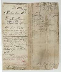 File jacketFile jacket for William R. Bowen's survey of 260 acres, listing the field notes and patent to Jacob Eliot in June 1873.General Land Office, file 1225, page 1 · in the scan
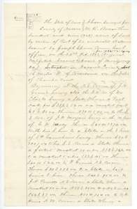 Field notesField notes and plat for 309 acres on Chambers Creek, surveyed for William R. Bowen by county surveyor John W. Irwin, April 1872.General Land Office, file 1225, page 2 · in the scan
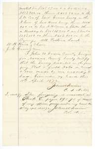 Field notesClose of the 309-acre field notes, with John W. Irwin's certificate of 11 April 1872 recording them in Book C, pages 89 and 90.General Land Office, file 1225, page 3 · in the scan
 WrapperWrapper for the original 309-acre field notes for William R. Bowen, filed at the Land Office 16 May 1872.General Land Office, file 1225, page 4 · in the scan
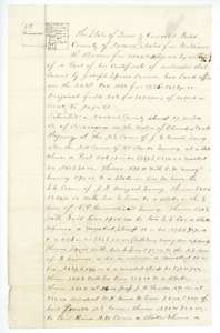 Field notesCorrected field notes for 260 acres on Chambers Creek for William R. Bowen, made by the Navarro County surveyor on 3 June 1873.General Land Office, file 1225, page 5 · in the scan
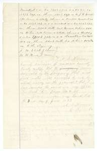 Field notesClose of the corrected field notes, with the county surveyor's certificate of 3 June 1873 and recording in Book C, pages 114 and 115.General Land Office, file 1225, page 6 · in the scan
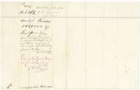 WrapperWrapper for the corrected field notes of 260 acres, filed 7 June 1873 and marked patented to Jacob Eliot.General Land Office, file 1225, page 7 · in the scan
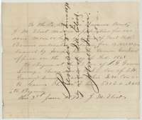 Other papersApplication of 3 June 1870 by J. M. Eliot to the county surveyor for 160 acres on William R. Bowen's unlocated balance certificate.General Land Office, file 1225, page 8 · in the scan
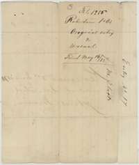 WrapperWrapper for the original entry and renewal, filed at the Land Office on 16 May 1872.General Land Office, file 1225, page 9 · in the scan
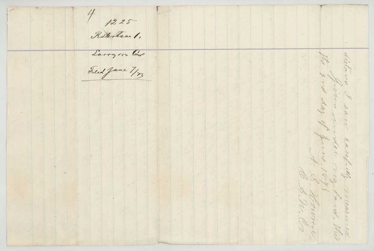
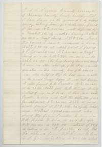 Surveyor's certificateCounty surveyor's certificate of June 1873 explaining that re-measuring on the ground corrected the survey's lines and distances.General Land Office, file 1225, page 10 · in the scan
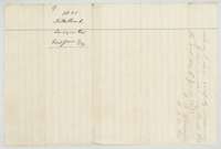 WrapperWrapper for the surveyor's certificate, filed at the Land Office on 7 June 1873.General Land Office, file 1225, page 11 · in the scan
Scans courtesy of the Texas General Land Office, Austin, from its Land Grant Database.
Neighbouring surveys
Sources
- Texas General Land Office, Land Grant Database: Navarro County, Abstract 71
- The Land Office file, scanned (PDF, at the General Land Office)
- 1924 map: courtesy of the Texas General Land Office, Austin, Map 73249, used under licence. Topo: U.S. Geological Survey, The National Map. Aerial photographs: U.S. Department of Agriculture, National Agriculture Imagery Program, 2012, 2018 and 2022. Survey outlines: Railroad Commission of Texas, Original Texas Land Survey. Grant records and files: Texas General Land Office.