Blackland TX · ← All the original surveys
E. P. Gaines Chisum Survey, Abstract 197
- Granted to
- E. P. Gaines Chisum
- Kind of grant
- Bounty warrantLand paid for service in the army of the Republic.
- Land Office file
- Robertson Bounty, file 978
- Certificate
- No. 10047
- Acres
- 1920
- Patented to
- Heirs of E. P. Gaines Chism
- Patent
- 14 Nov 1862 · No. 128, Vol. 13
Tap a survey to open its page.
What the file shows
E. P. Gaines Chism served from 25 December 1835 and was killed with Fannin at Goliad in 1836, so the Republic issued his heirs a 1,920-acre bounty certificate (No. 10047) on 31 December 1845. His Tennessee brothers and sisters had already sold their rights to Thomas Read of Madison County, Tennessee, for $600. The certificate was moved from a Nacogdoches file, designated in 1860 and surveyed by J. M. Eliot in May 1861 on the waters of Richland and Chambers Creeks, about 16½ miles west of Corsicana. It was patented to 'the heirs' on 14 November 1862. In 1875-1880 a niece, Mary Parchman of Bee County, and the Tennessee family each filed heirship proofs, and Parchman gave a half interest to W. A. H. and T. H. Miller.
The certificate
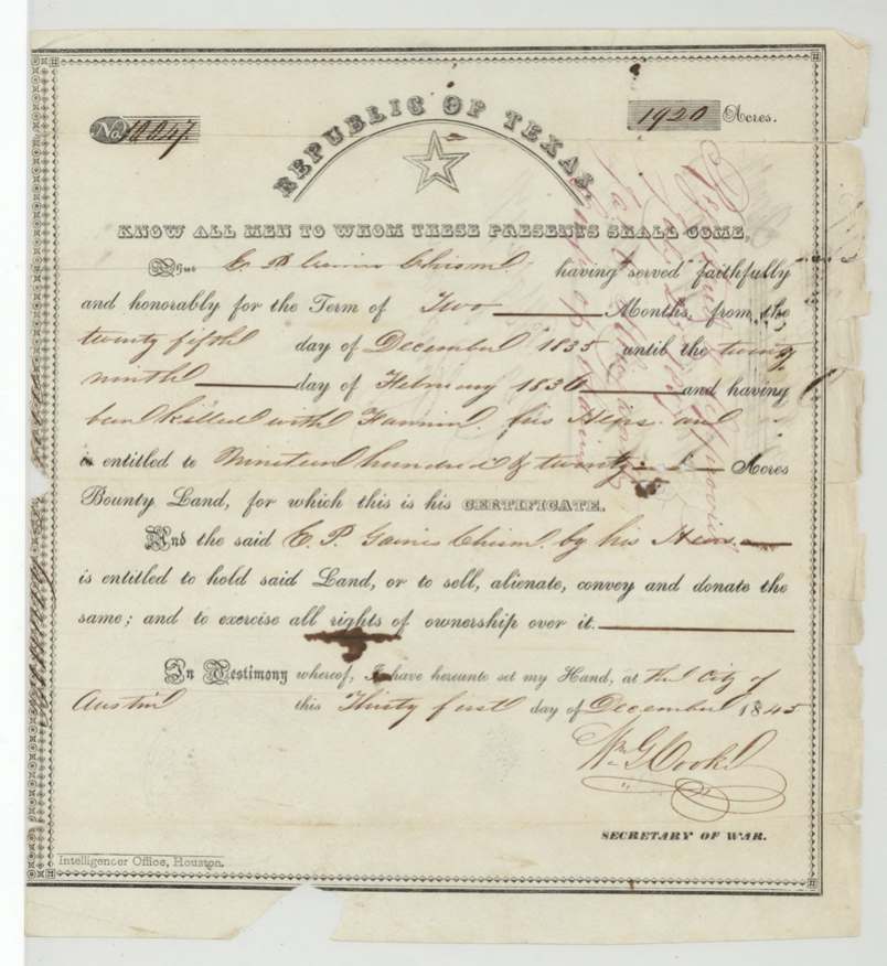
bounty, No. 10047, 1920 acres, Wm. G. Cooke, Secretary of War, Republic of Texas, City of Austin, 31 Dec 1845.
E. P. Gaines Chism 'having served faithfully and honorably for the term of two months from the twenty fifth day of December 1835 until the twenty ninth day of February 1836, and having been killed with Fannin, his heirs are entitled to' 1,920 acres bounty land
Changes of hand
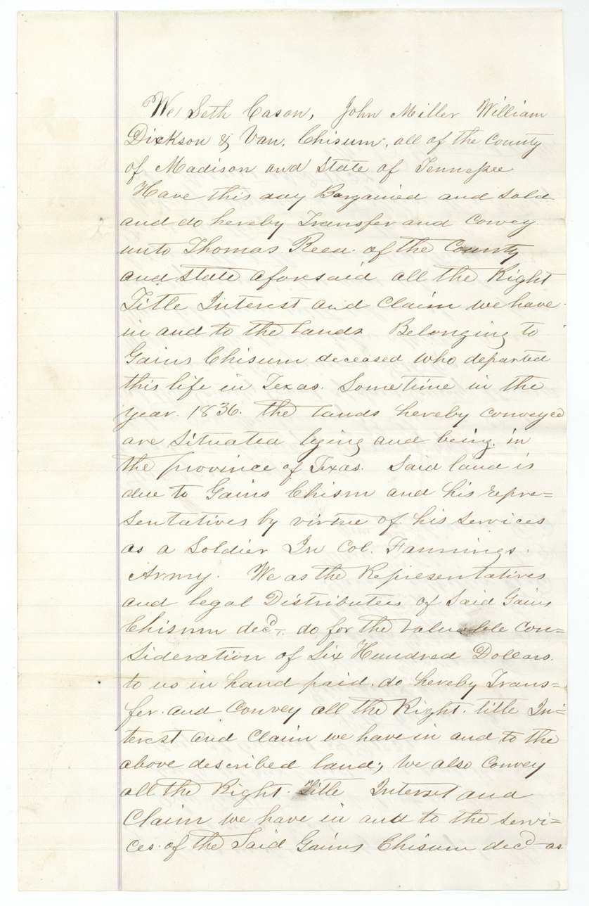
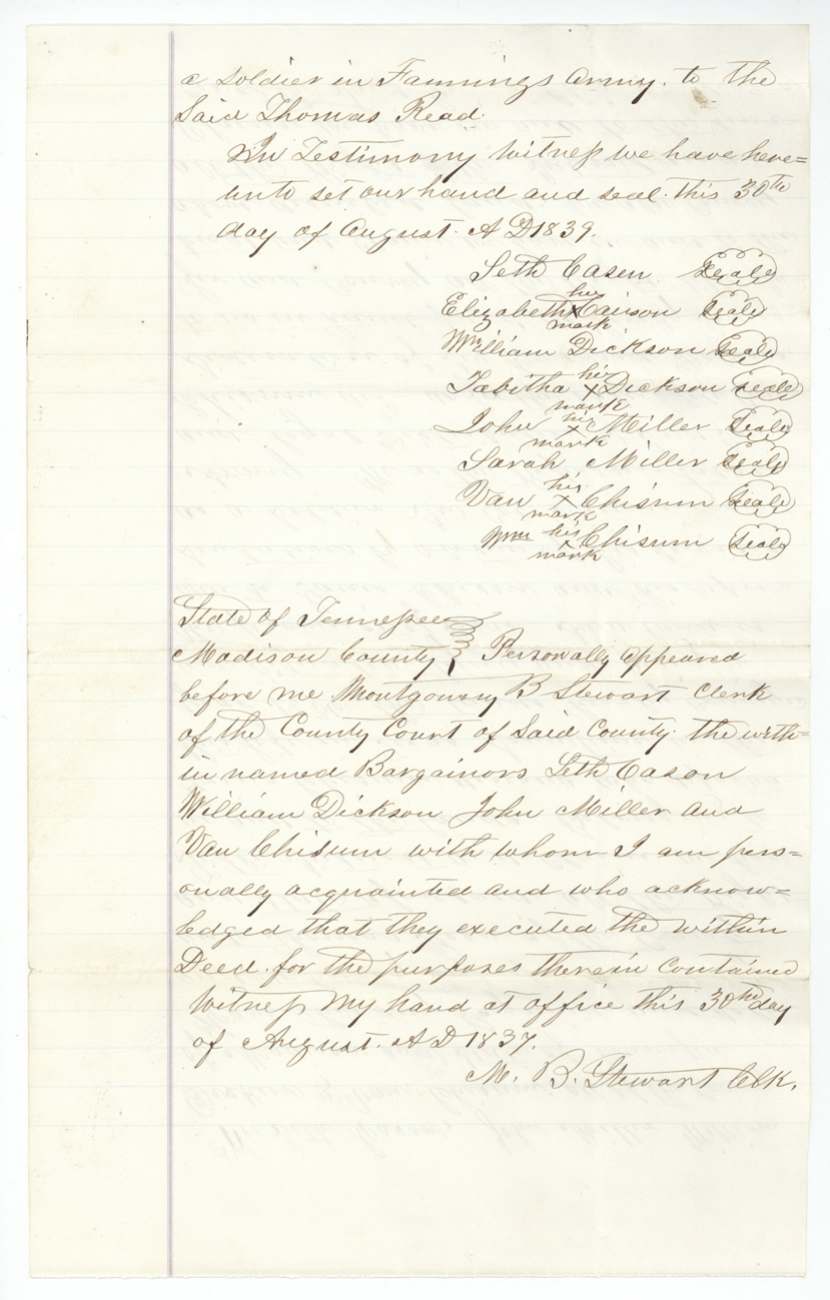
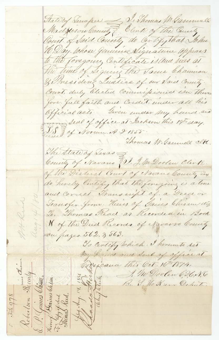
- 1839-08-30 (deed date as copied; acknowledgments dated 30-31 Aug 1837)Seth Cason and wife Elizabeth, William Dickson and wife Tabitha, John Miller and wife Sarah, Van Chisum and Wm. Chisum (heirs and 'legal distributees' of Gaines Chisum), all of Madison County, Tennessee → Thomas Read (Reed), of Madison County, Tennessee, $600, Madison County, Tennessee. Conveys all right to the lands due Gaines Chisum 'by virtue of his services as a soldier in Col. Fannin's army'. Recorded Navarro County Deed Records Book N pp. 562-563; certified copy by J. M. Dooley, Clerk, Corsicana, 16 Oct 1874 (by S. H. Kerr(?), deputy). Filed GLO 14 Aug 1880.
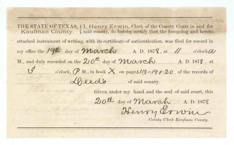
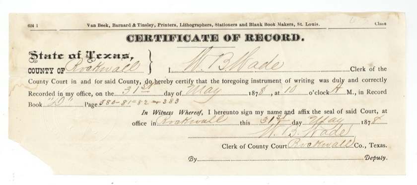
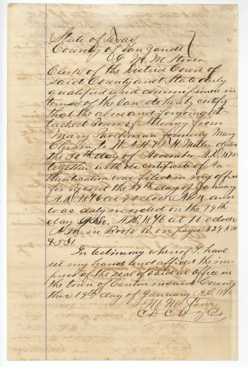
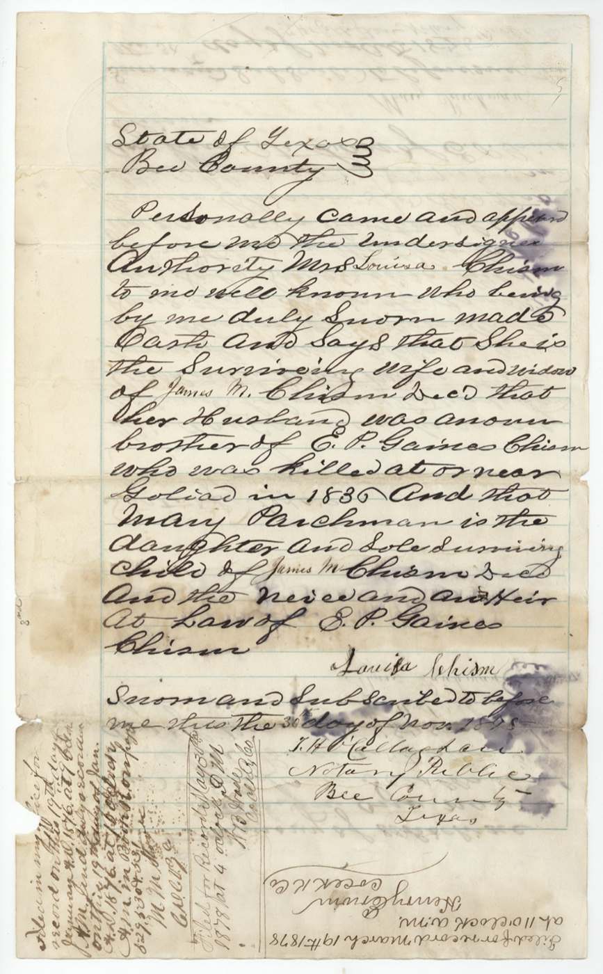
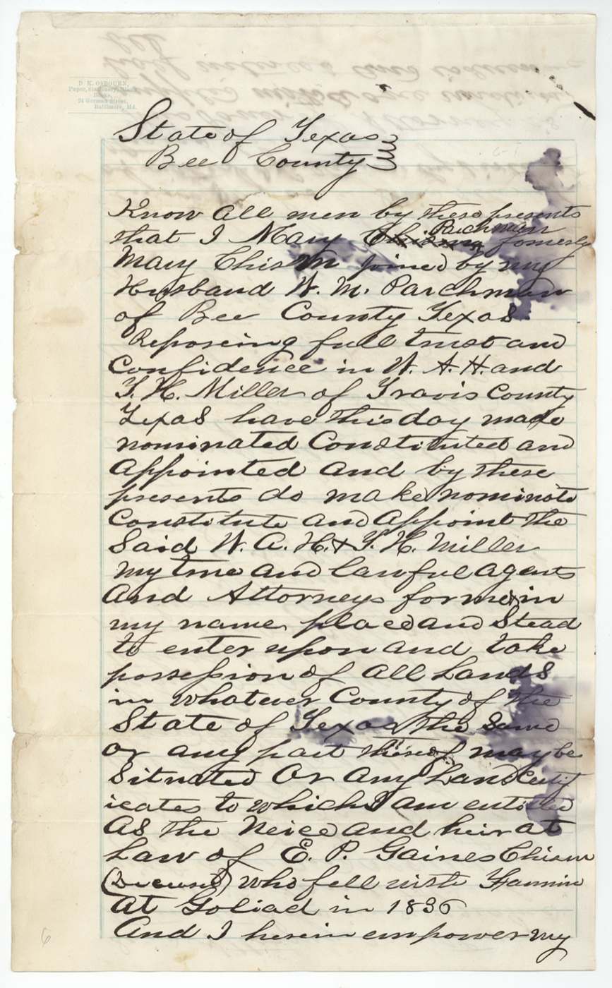
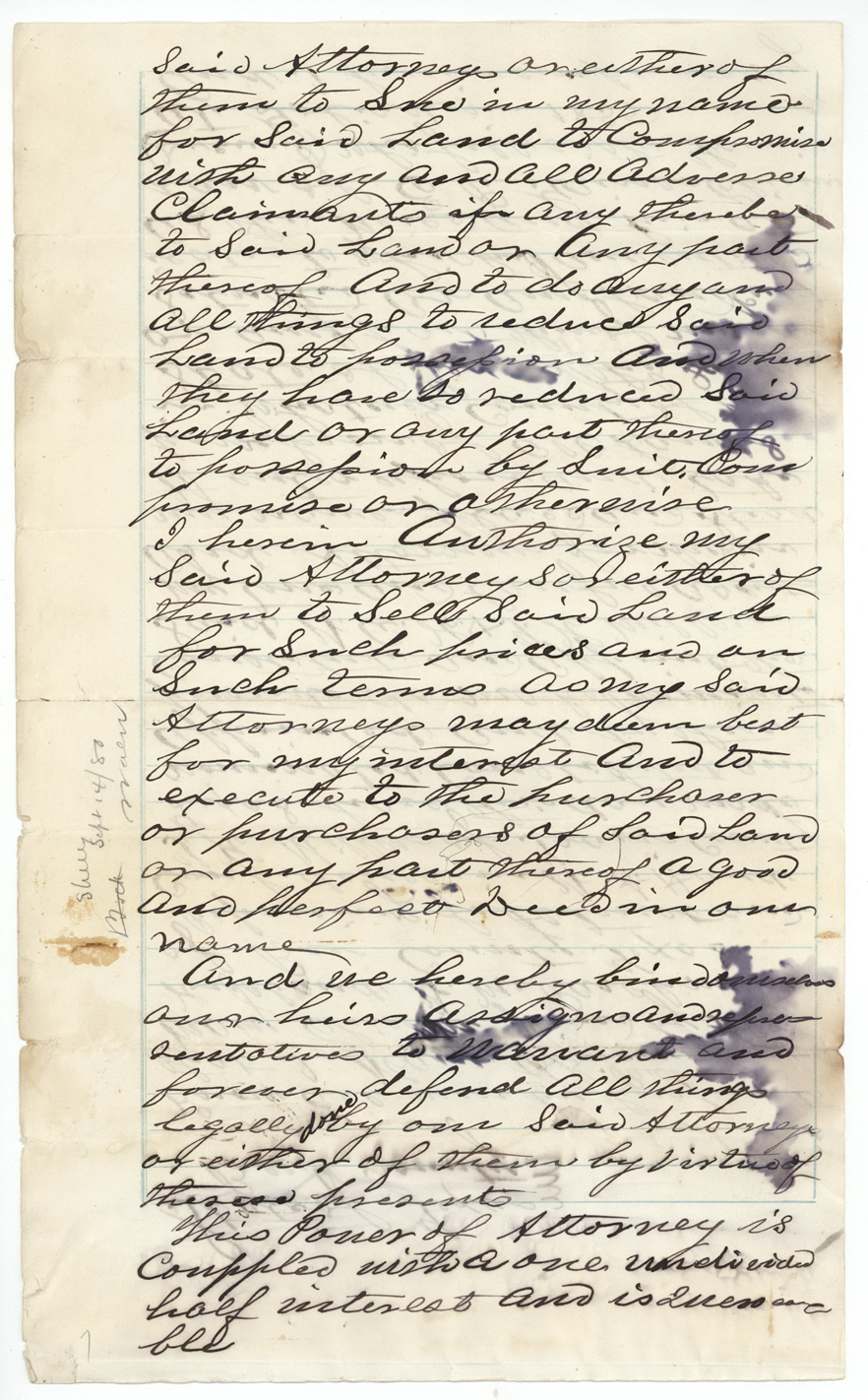
- 30 Nov 1875Mary Parchman (formerly Mary Chism) joined by her husband W. M. Parchman, of Bee County → W. A. H. Miller and T. H. Miller, of Travis County (attorneys in fact), power of attorney 'coupled with a one undivided half interest' and irrevocable, Beeville, Bee County, Texas. Power to take possession of, sue for, compromise and sell all lands to which she is entitled as niece and heir of E. P. Gaines Chism. Recorded Van Zandt County Book R pp. 529-531 (19 Jan 1876, M. M. Stover, clerk); Kaufman County Book X pp. 118-120 (20 Mar 1878, Henry Erwin); Rockwall County Book D pp. 380-383 (31 May 1878, W. B. Wade). Filed GLO 14 Sep 1880.
The survey
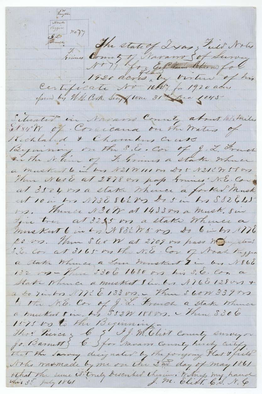
1861-05-02 (certified 1861-07-03), J. M. Eliot, County Surveyor, Navarro County.
Navarro County, about 16½ miles S 84 W of Corsicana, on the waters of Richland and Chambers Creeks
Chain carriers: Thos. Pierce, Jo. Barnett.
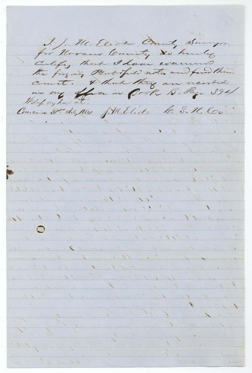
Navarro County Book B page 394
The patent
14 Nov 1862, No. 128, Vol. 13, to Heirs of E. P. Gaines Chism, deceased, delivered to not stated on jacket (later pencil notes mention W. H. Reed, Sept 10/80).
Also in the file
- Two different sets of family claimants appear. The Tennessee brothers and sisters sold their rights to Thomas Read for $600, while a niece in Bee County, Mary Parchman, claimed as heir through her father James Madison Chism and gave a half interest to two Austin-area agents.
- The 1880 Tennessee affidavit lists brothers Madison, William and Van (and three sisters) as heirs; Madison is the same James Madison Chism whose daughter later claimed.
- The deed to Thomas Read is dated 30 August 1839 in the copy, but the clerk's acknowledgments are dated August 1837 — one of the dates was miscopied.
- The warrant was first filed in the Nacogdoches district and later moved to Robertson.
- The survey overlapped an earlier survey for K. Bryan; the Bryan claim was later satisfied elsewhere.
- All the heirship papers were filed in 1880, eighteen years after the patent was issued to 'the heirs' without naming them.
- The family name is spelled Chism, Chisum and Chisam within the same file.
Timeline
- 25 Dec 1835E. P. Gaines Chism's service begins
- 29 Feb 1836End of the service period credited on the certificate
- 1836Killed with Fannin at or near Goliad
- 30 Aug 1837Tennessee heirs acknowledge deed to Thomas Read (deed itself dated 1839 in the copy)
- 31 Dec 1845Bounty certificate No. 10047 for 1,920 acres issued to his heirs
- 30 Sep 1860J. C. C. Winch(?) files designation, Entry No. 77
- 2 May 1861Survey No. 77 made by J. M. Eliot
- 19 Aug 1861Field notes filed in GLO
- 14 Nov 1862Patent No. 128 Vol. 13 issued to the heirs
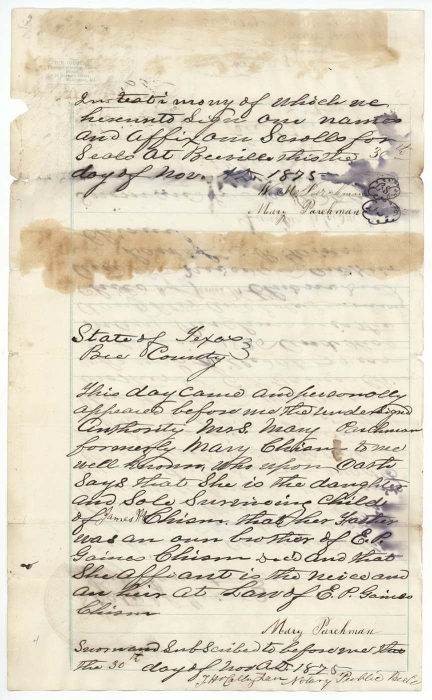
- 30 Nov 1875Mary Parchman's affidavit and power of attorney to the Millers
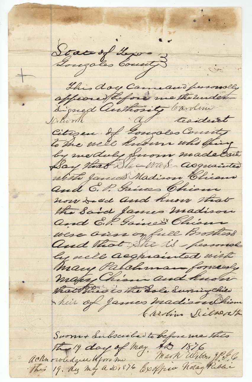
- 19 May 1876Caroline Dilworth affidavit, Gonzales County
- 21 Jun 1880John G. and W. H. Chisum's heirship affidavit in Tennessee
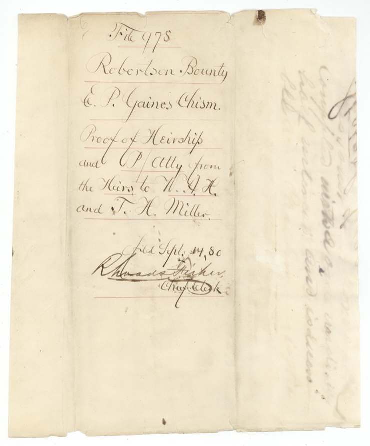
- 14 Sep 1880Heirship proof and power of attorney filed in GLO
The papers in the file
Every page of the Land Office file, in the order the Land Office keeps them (26 pages). Tap a page to see it larger.
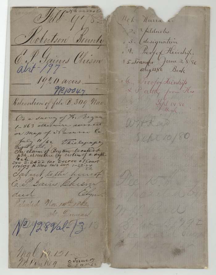
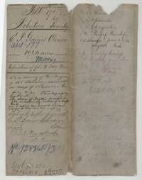 File jacketFile jacket for the Robertson Bounty claim of E. P. Gaines Chism, 1,920 acres, listing the warrant, field notes, designation, proofs of heirship and transfer.General Land Office, file 978, page 1 · in the scan
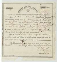 CertificateRepublic of Texas bounty certificate No. 10047 for 1,920 acres, issued at Austin on 31 December 1845 to the heirs of E. P. Gaines Chism, killed with Fannin.General Land Office, file 978, page 2 · in the scan
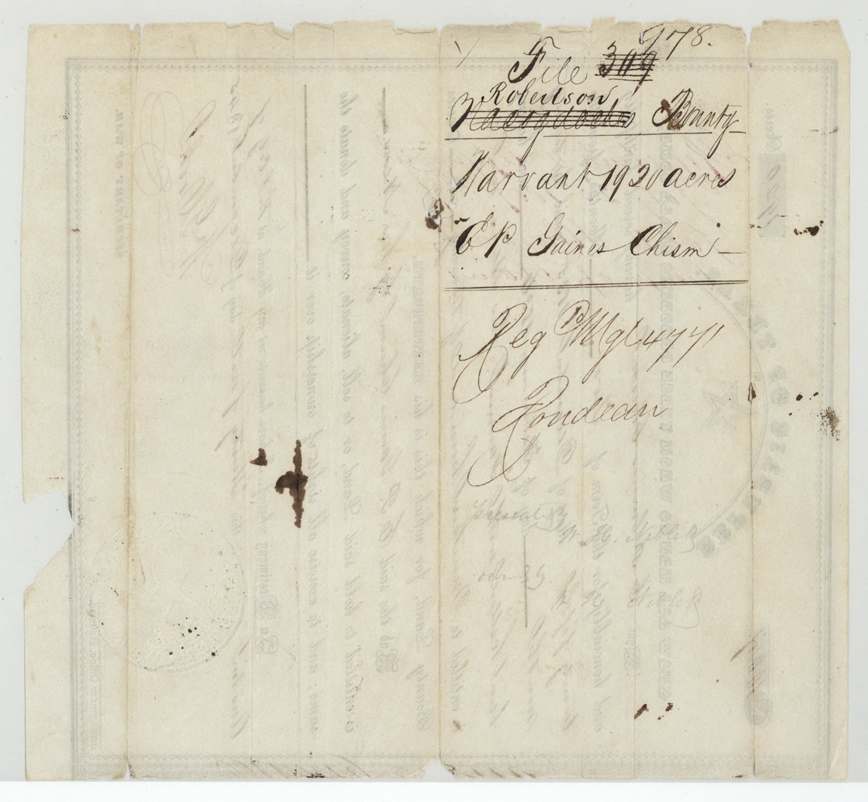
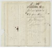 Back of the certificateBack of the certificate, with Land Office file numbers and the Robertson Bounty filing endorsements.General Land Office, file 978, page 3 · in the scan
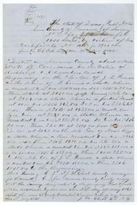 Field notesField notes of Survey No. 77, 1,920 acres for the heirs of E. P. Gaines Chism, surveyed 2 May 1861 by Navarro County Surveyor J. M. Eliot.General Land Office, file 978, page 4 · in the scan
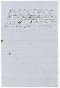 Surveyor's certificateCounty Surveyor J. M. Eliot's certificate that he examined the field notes and found them correct, recorded in Navarro County Book B, page 394, 31 July 1861.General Land Office, file 978, page 5 · in the scan
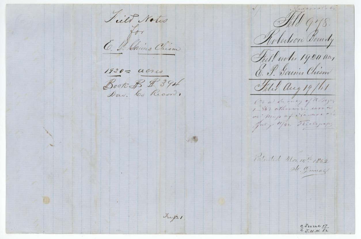
 WrapperFolded wrapper for the field notes of E. P. Gaines Chism, 1,920 acres, filed in the General Land Office 19 August 1861.General Land Office, file 978, page 6 · in the scan
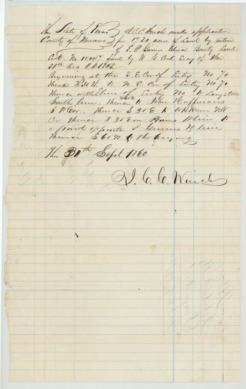
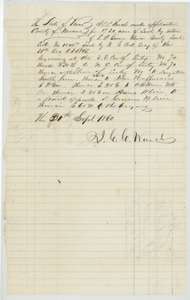 Other papersApplication dated 30 September 1860 for 1,920 acres in Navarro County under the Chism certificate, describing the tract by its neighbours' corners.General Land Office, file 978, page 7 · in the scan
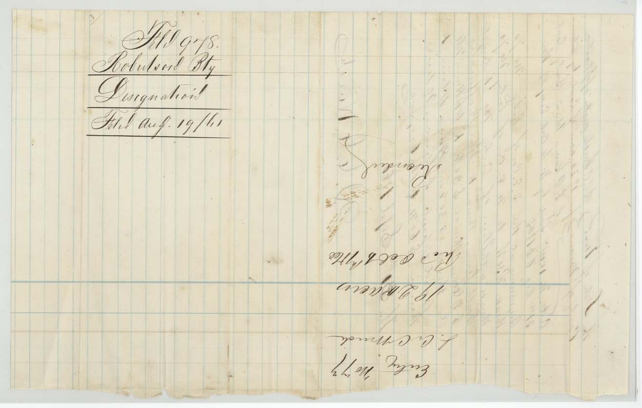
 WrapperBack of the designation, endorsed for Robertson Bounty, E. P. Gaines Chism, and filed 19 August 1861.General Land Office, file 978, page 8 · in the scan
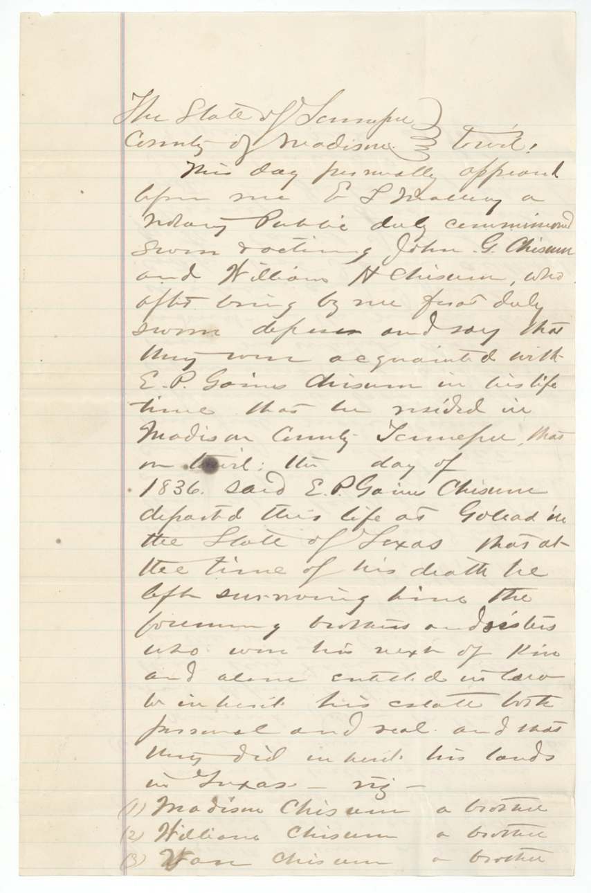
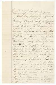 AffidavitFirst page of the 21 June 1880 sworn statement in Madison County, Tennessee, that E. P. Gaines Chism died at Goliad in 1836 leaving brothers and sisters as heirs.General Land Office, file 978, page 9 · in the scan
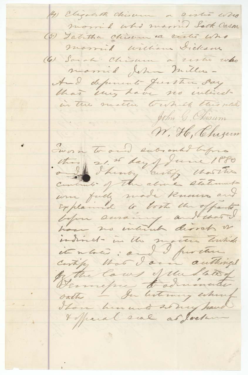
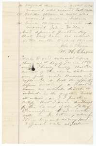 AffidavitContinuation naming the Chism sisters and their husbands as heirs, signed by John G. Chisum and William H. Chisum and sworn before a notary on 21 June 1880.General Land Office, file 978, page 10 · in the scan
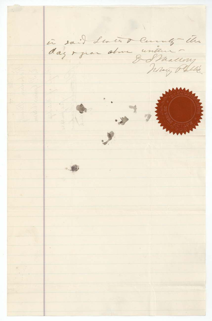
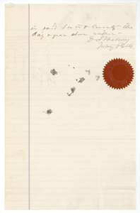 AffidavitEnd of the Tennessee proof of heirship, with the notary's signature and red seal.General Land Office, file 978, page 11 · in the scan
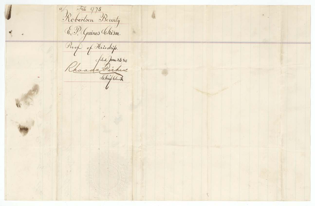
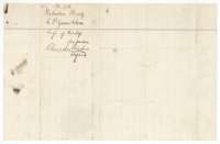 WrapperWrapper for the proof of heirship of E. P. Gaines Chism, filed 28 June 1880 by Chief Clerk Rhoads Fisher.General Land Office, file 978, page 12 · in the scan
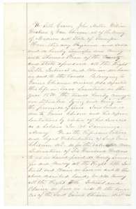 TransferFirst page of the deed in which the Chism heirs in Madison County, Tennessee, sell to Thomas Read all their right to Gaines Chism's land for $600.General Land Office, file 978, page 13 · in the scan
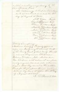 TransferSignatures of the heirs and the county clerk's certificate that the deed was acknowledged in Madison County, Tennessee, 30 August 1837.General Land Office, file 978, page 14 · in the scan
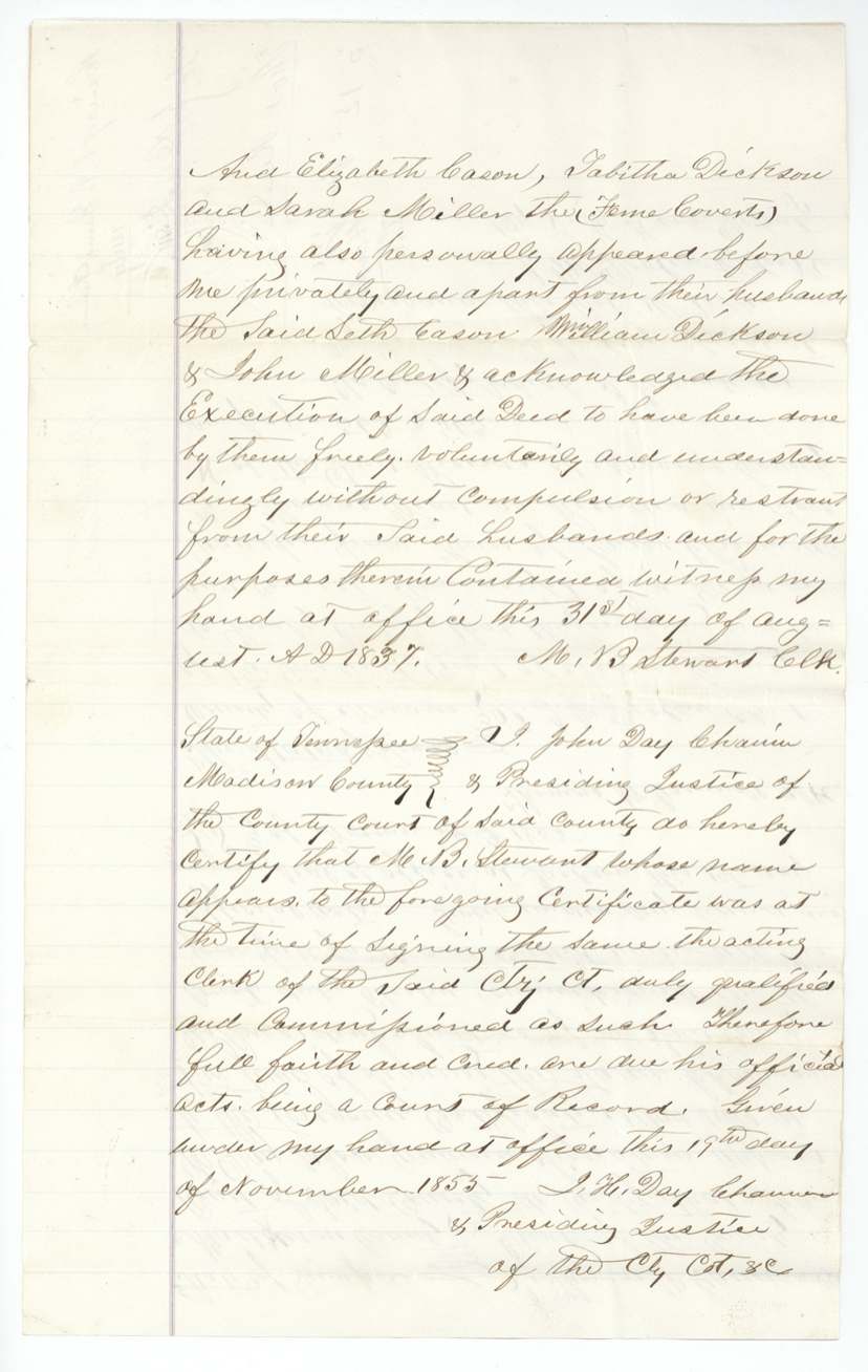
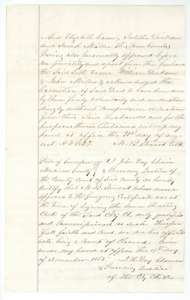 TransferPrivate examination of the wives, 31 August 1837, with the Presiding Justice's certificate of authentication given at Jackson, 19 November 1855.General Land Office, file 978, page 15 · in the scan
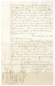 TransferClerk's certificate of authentication, and the Navarro County clerk's certified copy of the deed to Thomas Read, recorded in Deed Book N, 16 October 1874.General Land Office, file 978, page 16 · in the scan
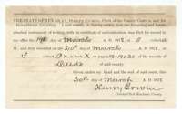 CertificateKaufman County clerk's certificate that the power of attorney was recorded in Book X on 20 March 1878.General Land Office, file 978, page 17 · in the scan
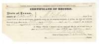 CertificateRockwall County certificate that the power of attorney was recorded on 31 May 1878.General Land Office, file 978, page 18 · in the scan
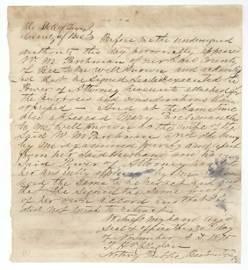
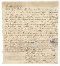 CertificateNotary's acknowledgment at Beeville that Mary Parchman and her husband signed the power of attorney of 30 November 1875.General Land Office, file 978, page 19 · in the scan
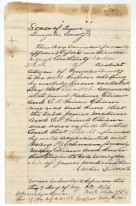 AffidavitAffidavit sworn 19 May 1876 in Gonzales County that James Madison Chism and E. P. Gaines Chism were brothers and Mary Parchman is his only surviving child.General Land Office, file 978, page 20 · in the scan
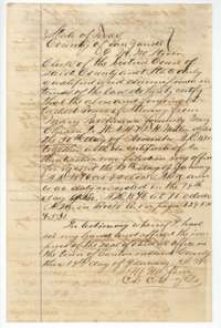 CertificateVan Zandt County clerk's certificate that the power of attorney from Mary Parchman to W. A. H. and T. H. Miller was recorded 19 January 1876.General Land Office, file 978, page 21 · in the scan
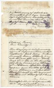 AffidavitAffidavit of Mary Parchman, sworn at Beeville on 30 November 1875, that she is the niece and heir of E. P. Gaines Chism.General Land Office, file 978, page 22 · in the scan
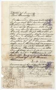 AffidavitAffidavit of Louisa Chism, widow of James M. Chism, that her husband was brother of E. P. Gaines Chism, killed at Goliad in 1836.General Land Office, file 978, page 23 · in the scan
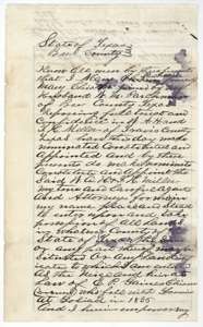 Power of attorneyPower of attorney from Mary Parchman and her husband to W. A. H. and T. H. Miller, 30 November 1875, to take possession of the Chism lands.General Land Office, file 978, page 24 · in the scan
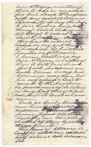 Power of attorneyEnd of the power of attorney, authorizing the Millers to compromise, sell and convey the land; it is joined with a half interest and cannot be revoked.General Land Office, file 978, page 25 · in the scan
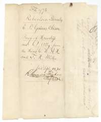 WrapperWrapper for the proof of heirship and power of attorney from the heirs to W. A. H. and T. H. Miller, filed 14 September 1880.General Land Office, file 978, page 26 · in the scan
Scans courtesy of the Texas General Land Office, Austin, from its Land Grant Database.
Neighbouring surveys
Sources
- Texas General Land Office, Land Grant Database: Navarro County, Abstract 197
- The Land Office file, scanned (PDF, at the General Land Office)
- 1924 map: courtesy of the Texas General Land Office, Austin, Map 73249, used under licence. Topo: U.S. Geological Survey, The National Map. Aerial photographs: U.S. Department of Agriculture, National Agriculture Imagery Program, 2012, 2018 and 2022. Survey outlines: Railroad Commission of Texas, Original Texas Land Survey. Grant records and files: Texas General Land Office.