Blackland TX · ← All the original surveys
Joseph L. French Survey, Abstract 286
- Granted to
- Joseph L. French
- Kind of grant
- Headright, third classLand for later settlers, including the colonists of Mercer’s Colony.
- Land Office file
- Robertson 3rd class, file 5060
- Certificate
- No. 80
- Acres
- 640
- Patented to
- John C. McCuistion
- Patent
- 08 Nov 1862 · No. 431, Vol. 36
Tap a survey to open its page.
What the file shows
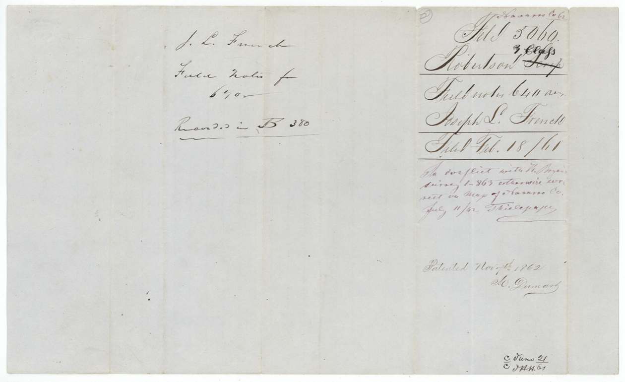
Joseph L. French received Mercer's Colony headright certificate No. 80 for 640 acres at Corsicana on 16 April 1850, after proving his citizenship before colony commissioner John M. Crockett. He assigned it to J. M. Steiner in March 1851, and Steiner sold it to John C. McCuistion for $60 that September. In 1860 James E. Patton entered it, and county surveyor J. M. Eliot laid out 640 acres on the waters of Mill Creek west of Corsicana, next to W. W. Speed and F. Grimes. After the Land Office resolved a conflict with H. Bryan's survey, the patent issued to McCuistion as assignee on 8 November 1862.
The certificate
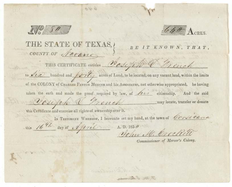
headright 3rd class (Mercer's Colony headright certificate), No. 80, 640 acres, John M. Crockett, Commissioner of Mercer's Colony, Corsicana, Navarro County, 16 Apr 1850.
Printed Mercer Colony form: entitles Joseph L. French to 640 acres to be located on vacant land within the limits of the colony of Charles Fenton Mercer and his associates, he having taken the oath and made the proof required by law of his citizenship. 640 acres implies a married man under the colony contract, though the certificate does not say so.
Changes of hand
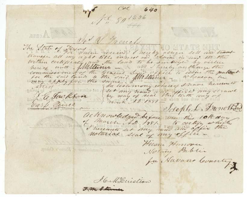
- 10 Mar 1851Joseph L. French → J. M. Steiner, 'for value received' (no sum stated), Navarro County. Assignment written on the back of the certificate; authorises the Commissioner to issue patent to Steiner. Steiner's name later struck and 'J. C. McCuistion' written beneath.
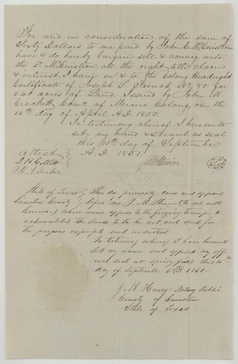
- 15 Sep 1851J. M. Steiner → John C. McCuistion, $60, Springfield, Limestone County. Conveys 'the Colony Headright Certificate of Joseph L. French No. 80 for 640 acres'. Filed GLO June 12(?) 1861.
The survey
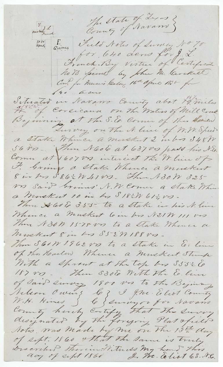
13 Sep 1860, J. M. Eliot, County Surveyor, Navarro County.
Navarro County, about 14 (red correction 18 1/2) miles W (red: S 82 W) of Corsicana, on the waters of Mill Creek
Chain carriers: Nelson Owens, W. H. Hines.
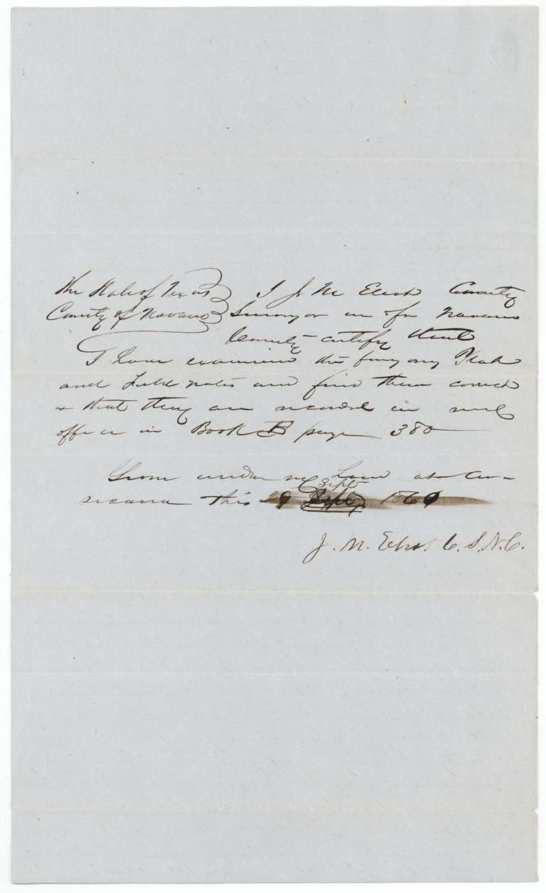
County Book B p. 380
The patent
8 Nov 1862, No. 431, Vol. 36(?), to John C. McCuistion, assignee, delivered to J. E. Patton(?).
Also in the file
- The Land Office found the survey overlapped H. Bryan's survey; Bryan's claim was then located elsewhere using a duplicate certificate.
- The certificate went from French to Steiner within a year of issue, and Steiner sold it to McCuistion six months later for $60 - under 10 cents an acre.
- The application gives the certificate date as 11 April 1850, but the certificate itself says 16 April 1850.
- James E. Patton made the 1860 entry, although John C. McCuistion owned the certificate and received the patent; the patent was apparently delivered to Patton.
- The patent was issued in November 1862, during the Civil War.
Timeline
- 16 Apr 1850Mercer Colony certificate No. 80 for 640 acres issued to Joseph L. French at Corsicana by John M. Crockett
- 10 Mar 1851French assigns the certificate to J. M. Steiner, Navarro County
- 15 Sep 1851Steiner sells it to John C. McCuistion for $60 at Springfield, Limestone County
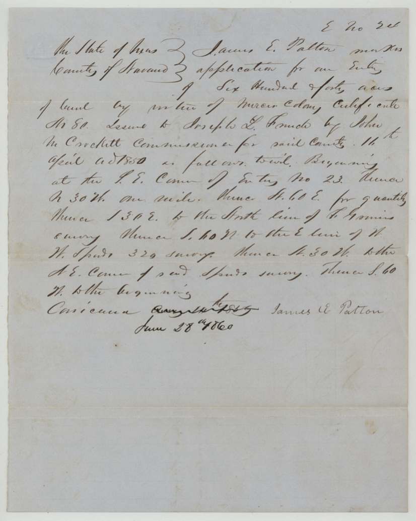
- 28 Jun 1860James E. Patton files entry No. 24 at Corsicana
- 13 Sep 1860J. M. Eliot surveys 640 acres on the waters of Mill Creek
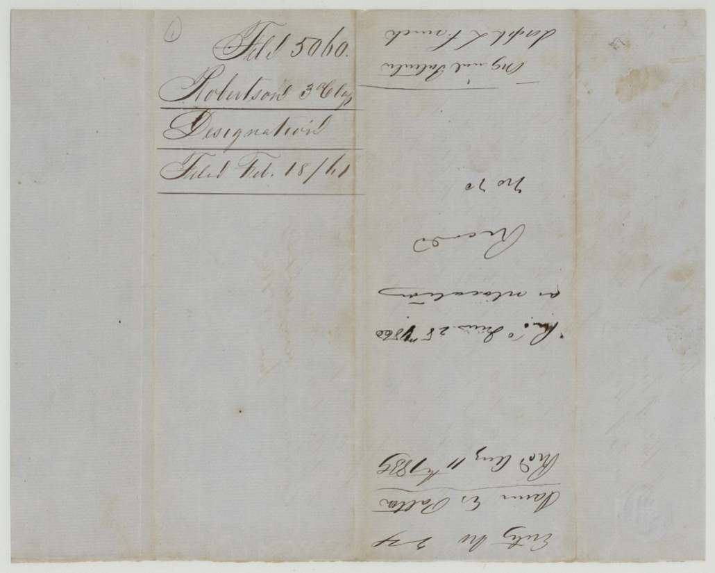
- 18 Feb 1861Field notes, application and transfer filed in GLO
- 11 Jul 1862Map check finds conflict with H. Bryan's survey
- 8 Nov 1862Patent to John C. McCuistion, assignee
The papers in the file
Every page of the Land Office file, in the order the Land Office keeps them (11 pages). Tap a page to see it larger.
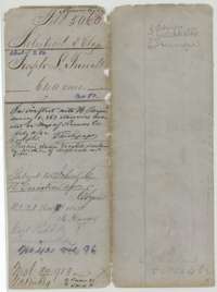 File jacketFile jacket for Joseph L. French's 640 acres, a Mercer's Colony headright in Navarro County, patented to the assignee John C. McCuistion in November 1862.General Land Office, file 5060, page 1 · in the scan
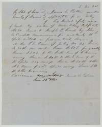 Other papersApplication of 28 June 1860 to locate 640 acres on Mercer's Colony certificate No. 80 issued to Joseph L. French, beginning at a corner near the Grimes and Speed surveys.General Land Office, file 5060, page 2 · in the scan
 WrapperFiling wrapper for the designation of the French survey, received at the Land Office 18 February 1861.General Land Office, file 5060, page 3 · in the scan
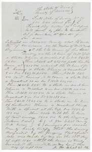 Field notesField notes of Survey No. 70, 640 acres on Mill Creek for Joseph L. French, surveyed 13 September 1860 by county surveyor J. M. Eliot.General Land Office, file 5060, page 4 · in the scan
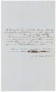 Surveyor's certificateNavarro County surveyor J. M. Eliot's certificate, September 1860, that the French field notes were examined and recorded in Book B, page 380.General Land Office, file 5060, page 5 · in the scan
 WrapperField-notes wrapper for Joseph L. French's 640 acres, filed 18 February 1861, with notes on the map check and patent.General Land Office, file 5060, page 6 · in the scan
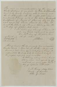 TransferTransfer from J. M. Steiner to John C. McCuistion of Joseph L. French's colony certificate No. 80 for $60, signed at Springfield on 15 September 1851.General Land Office, file 5060, page 7 · in the scan
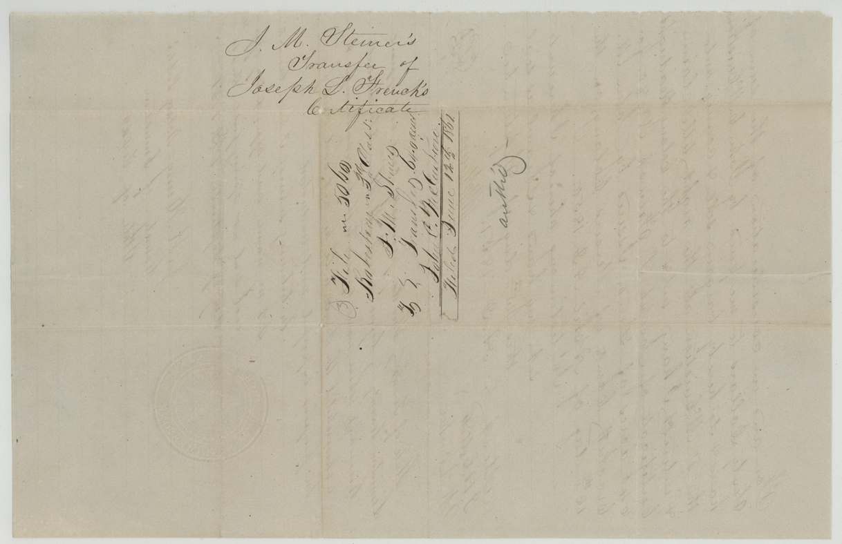
 WrapperWrapper for J. M. Steiner's transfer of Joseph L. French's colony certificate, filed in the Land Office.General Land Office, file 5060, page 8 · in the scan
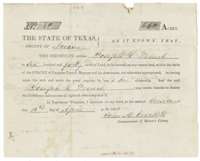 CertificateMercer's Colony headright certificate No. 80 for 640 acres issued to Joseph L. French at Corsicana on 16 April 1850 by Commissioner John M. Crockett.General Land Office, file 5060, page 9 · in the scan
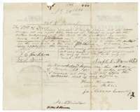 Back of the certificateBack of the certificate, with Joseph L. French's assignment of 10 March 1851 to J. M. Steiner and a later endorsement to John C. McCuistion.General Land Office, file 5060, page 10 · in the scan
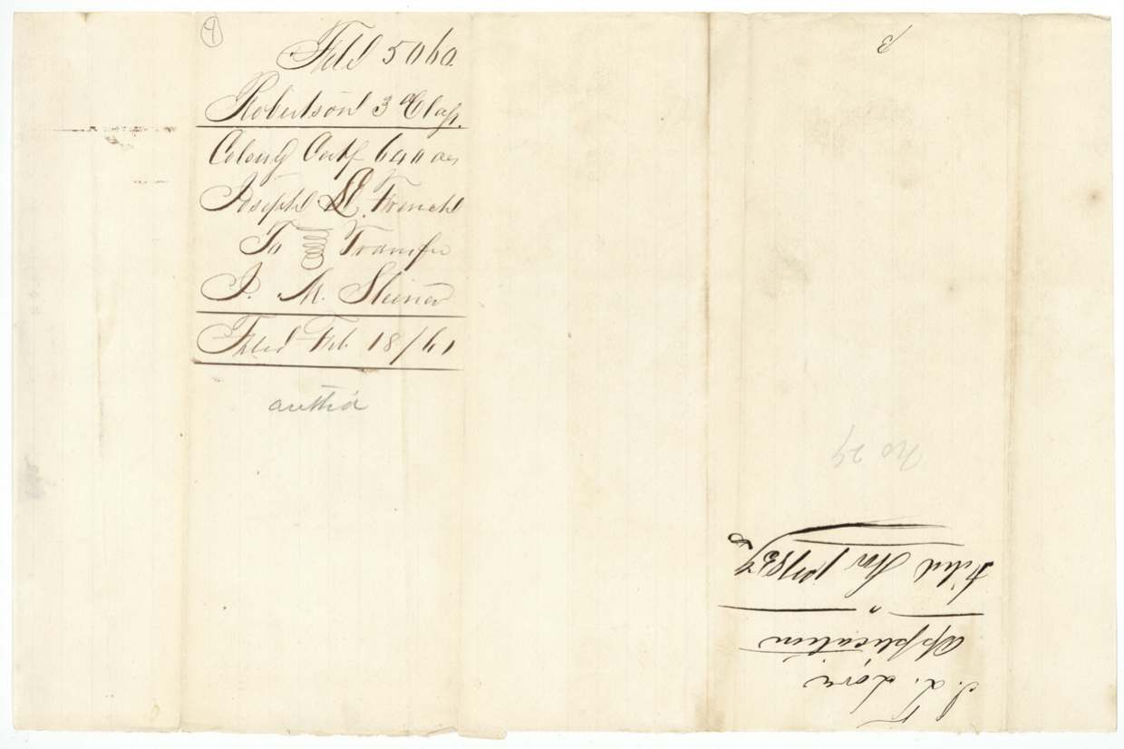
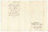 WrapperWrapper for the colony certificate and transfer from Joseph L. French to J. M. Steiner, filed 18 February 1861.General Land Office, file 5060, page 11 · in the scan
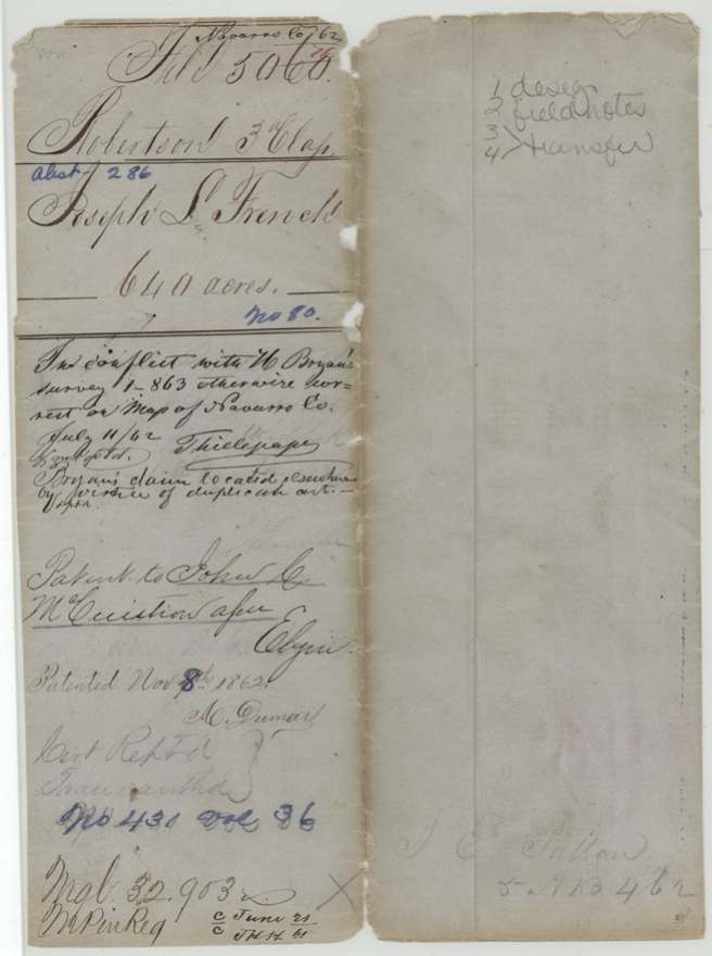
Scans courtesy of the Texas General Land Office, Austin, from its Land Grant Database.
Neighbouring surveys
Sources
- Texas General Land Office, Land Grant Database: Navarro County, Abstract 286
- The Land Office file, scanned (PDF, at the General Land Office)
- 1924 map: courtesy of the Texas General Land Office, Austin, Map 73249, used under licence. Topo: U.S. Geological Survey, The National Map. Aerial photographs: U.S. Department of Agriculture, National Agriculture Imagery Program, 2012, 2018 and 2022. Survey outlines: Railroad Commission of Texas, Original Texas Land Survey. Grant records and files: Texas General Land Office.