Blackland TX · ← All the original surveys
W. W. Speed Survey, Abstract 781
- Granted to
- W. W. Speed
- Kind of grant
- Bounty warrantLand paid for service in the army of the Republic.
- Land Office file
- Robertson Bounty, file 902
- Certificate
- No. 1226
- Acres
- 320
- Patented to
- W. W. Speed
- Patent
- 09 Oct 1860 · No. 87, Vol. 11
Tap a survey to open its page.
What the file shows
W. W. Speed held bounty land warrant No. 1226 for 640 acres, issued 9 February 1853 under James S. Gillett. Deputy surveyor Milton Wright located 320 acres of it on 19 February 1858 on the waters of Richland and Post Oak creeks, about 19 miles southwest of Corsicana, starting from Elias R. Morrell's corner; District Surveyor Thos. J. Oliver recorded it in Book L page 460. The patent issued to Speed in October 1860 (Vol. 11) and was delivered in the late 1860s, apparently through J. T. Ratcliff. The other half of the warrant was located elsewhere.
The certificate
bounty, No. 1226, 640 acres, James S. Gillett (named as issuer in the field notes), 9 Feb 1853.
Bounty land warrant (the surveyor first wrote 'Head Right Certificate' and corrected it to 'Bounty Land Warrant'); service details are not in this file
The survey
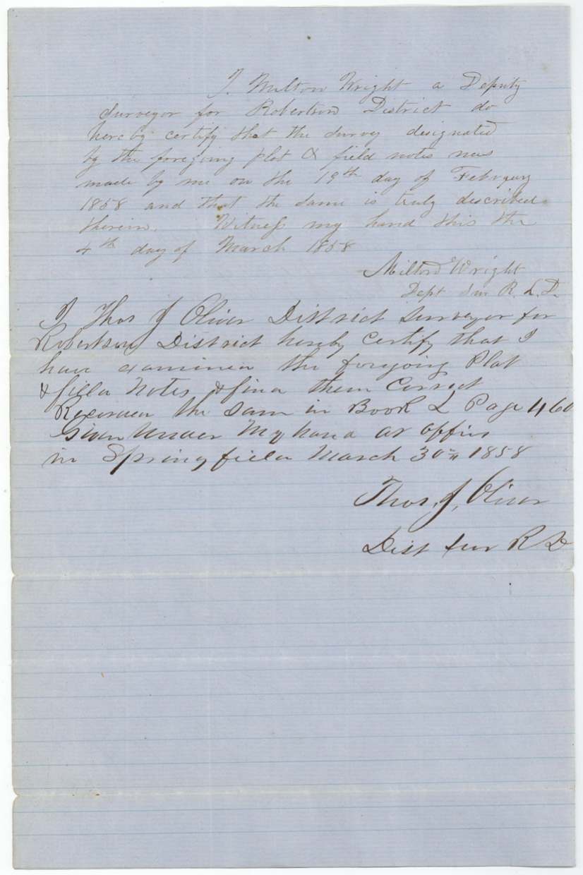
1858-02-19 (certified 1858-03-04), Milton Wright, deputy surveyor, Robertson Land District.
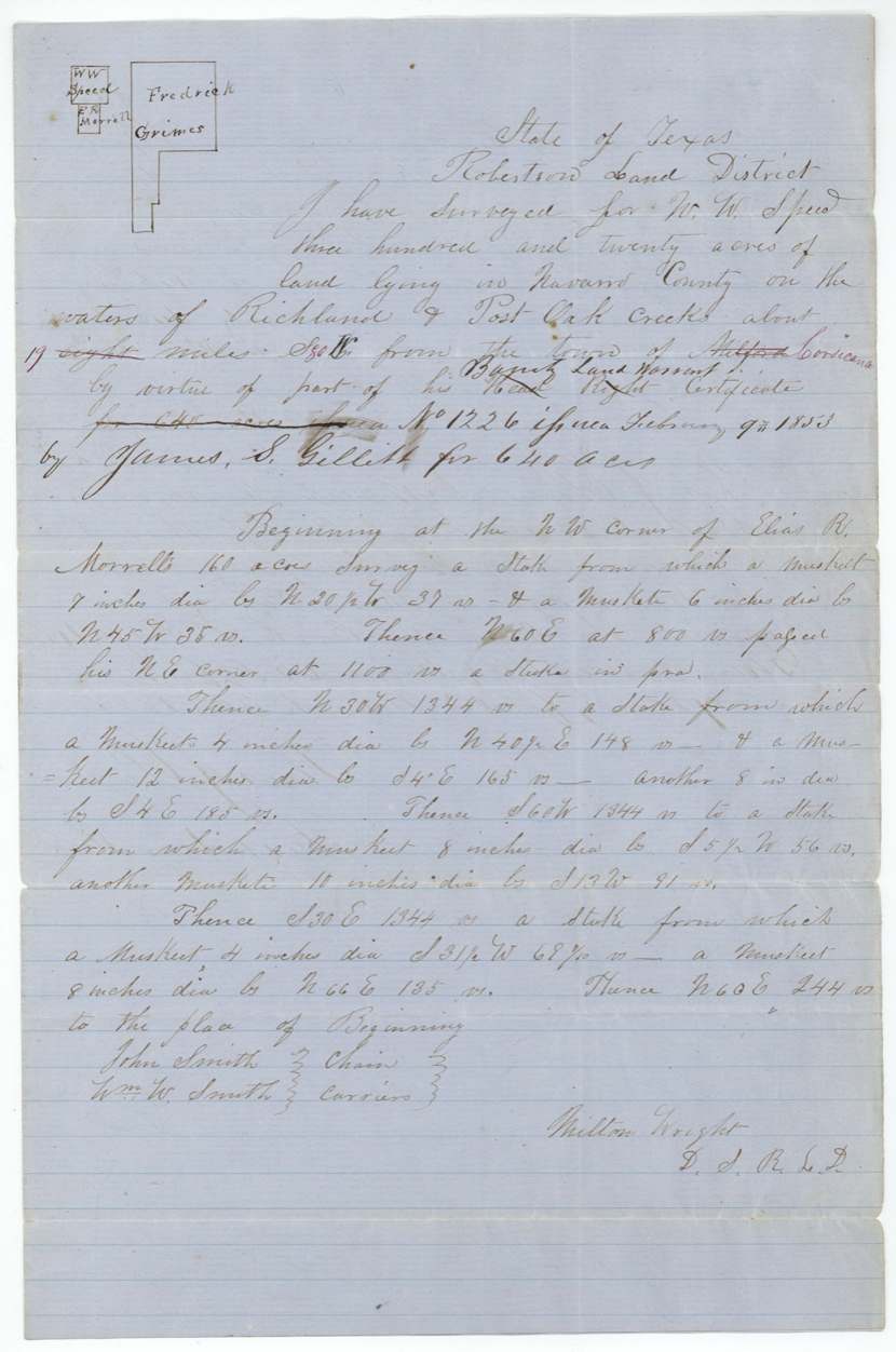
Navarro County, on the waters of Richland and Post Oak creeks, about 19 miles S 80 W from Corsicana; begins at the NW corner of Elias R. Morrell's 160-acre survey
Chain carriers: John Smith, Wm. W. Smith.
Book L, page 460
The patent
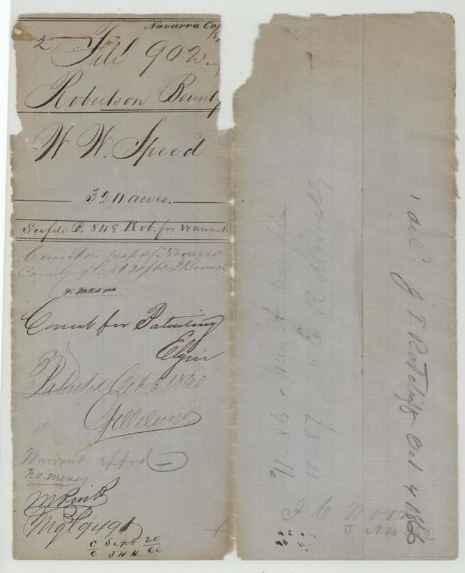
1860-10-08 (one wrapper says 9 Oct 1860), No. 87, Vol. 11 (marked 'original'; a later wrapper says No. 86, Vol. 11), to W. W. Speed, delivered to J. T. Ratcliff, Oct 4 1866(?); another note: 'Pat. delivered 18 Sept 1867 to Wane(?)'.
Also in the file
- The surveyor first described the certificate as a headright and placed the land 8 miles from 'Milford(?)'; both were corrected, the location in red ink to 19 miles southwest of Corsicana.
- Wrappers disagree on the patent number (87 vs 86, Vol. 11) and the date (8 vs 9 October 1860).
- Only half of the 640-acre warrant was used here; a pencil note says the other half was entered elsewhere in Navarro County (a pencil 'abst 783' on the jacket may point to it).
- Two different delivery notes: to J. T. Ratcliff in 1866(?) and in September 1867.
Timeline
- 9 Feb 1853Bounty warrant No. 1226 for 640 acres issued (James S. Gillett)
- 19 Feb 1858Milton Wright surveys 320 acres on Richland and Post Oak creeks
- 4 Mar 1858Wright certifies field notes
- 30 Mar 1858Oliver examines and records at Springfield, Book L p. 460
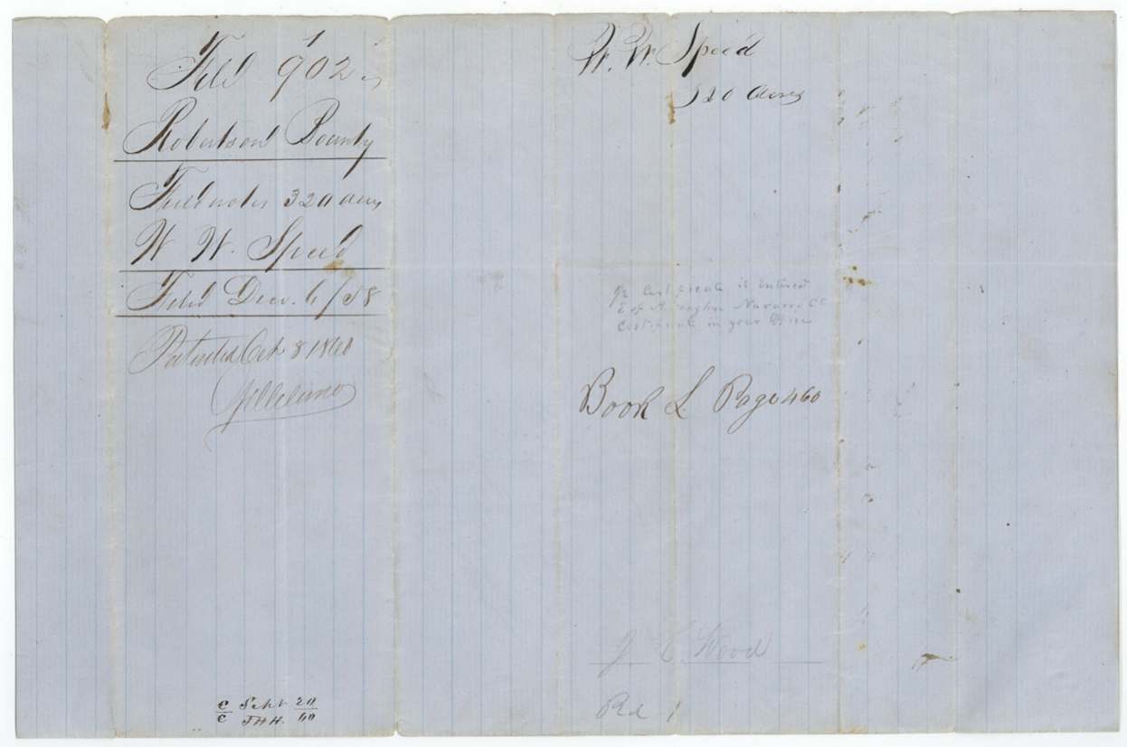
- 6 Dec 1858Field notes filed in GLO
- 20 Sep 1860Checked correct on Navarro map, J. Browne
- 8 Oct 1860Patent No. 87 (or 86), Vol. 11, to W. W. Speed
- 4 Oct 1866Patent delivered to J. T. Ratcliff (year uncertain)
- 18 Sep 1867Patent delivery note
The papers in the file
Every page of the Land Office file, in the order the Land Office keeps them (6 pages). Tap a page to see it larger.
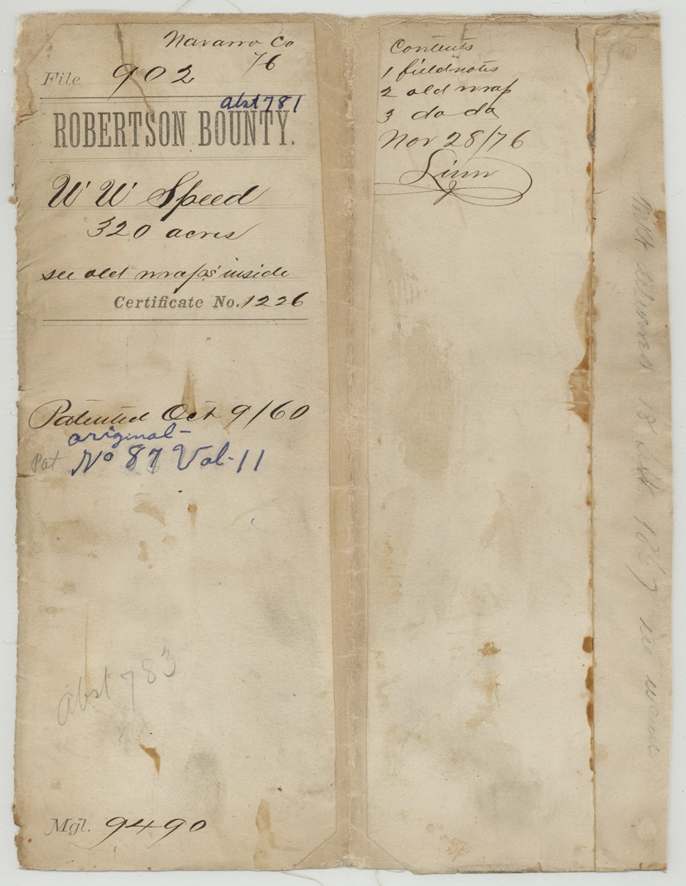
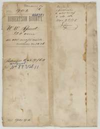 File jacketFile jacket for W. W. Speed's 320-acre bounty land survey, listing the field notes and old wrappers, patented 8 October 1860.General Land Office, file 902, page 1 · in the scan
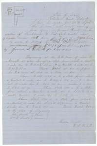 Field notesField notes with a plat for 320 acres on Richland and Post Oak creeks, Navarro County, surveyed for W. W. Speed by Milton Wright, 19 February 1858.General Land Office, file 902, page 2 · in the scan
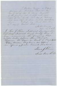 Surveyor's certificateMilton Wright's certificate of 4 March 1858 and district surveyor Thos. J. Oliver's examination of 30 March 1858.General Land Office, file 902, page 3 · in the scan
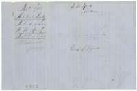 WrapperDocket wrapper for the Speed field notes, filed 6 December 1858 and recorded in Book L, page 460.General Land Office, file 902, page 4 · in the scan
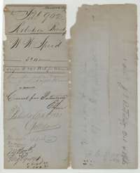 WrapperOld wrapper for the Speed papers, with notes that the survey was correct for patenting and patented in October 1860.General Land Office, file 902, page 5 · in the scan
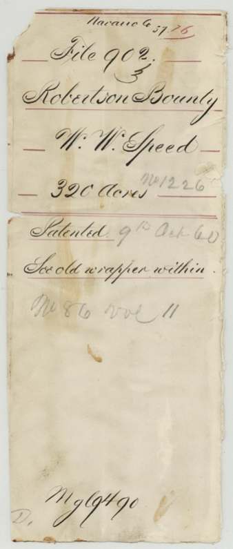
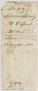 WrapperSecond old wrapper for the Speed papers, marked patented in October 1860.General Land Office, file 902, page 6 · in the scan
Scans courtesy of the Texas General Land Office, Austin, from its Land Grant Database.
Neighbouring surveys
Sources
- Texas General Land Office, Land Grant Database: Navarro County, Abstract 781
- The Land Office file, scanned (PDF, at the General Land Office)
- 1924 map: courtesy of the Texas General Land Office, Austin, Map 73249, used under licence. Topo: U.S. Geological Survey, The National Map. Aerial photographs: U.S. Department of Agriculture, National Agriculture Imagery Program, 2012, 2018 and 2022. Survey outlines: Railroad Commission of Texas, Original Texas Land Survey. Grant records and files: Texas General Land Office.