Blackland TX · ← All the original surveys
Jacob Allbrachet Survey, Abstract 41
- Granted to
- Jacob Allbrachet
- Kind of grant
- Bounty warrantLand paid for service in the army of the Republic.
- Land Office file
- Robertson Bounty, file 1187
- Certificate
- No. 213
- Acres
- 48
- Patented to
- Henry Teal
- Patent
- 10 Dec 1875 · No. 404, Vol. 15
Tap a survey to open its page.
What the file shows
In February 1860, under a special relief act of the Texas Legislature, Commissioner of Claims W. J. Hotchkiss issued a 960-acre bounty warrant (No. 213) for Jacob Allbrachet's service in the army of the Republic of Texas, made out to Henry Teal as his assignee. The warrant went unused until 1872–74, when County Surveyors John W. Irwin and A. S. Howren located it in seven small tracts scattered around Navarro County, often with J. M. Eliot on the chain. All seven field notes were filed in the Land Office in October 1874. Seven patents (Nos. 398–404, Vol. 15) issued to Henry Teal on December 10, 1875.
The certificate
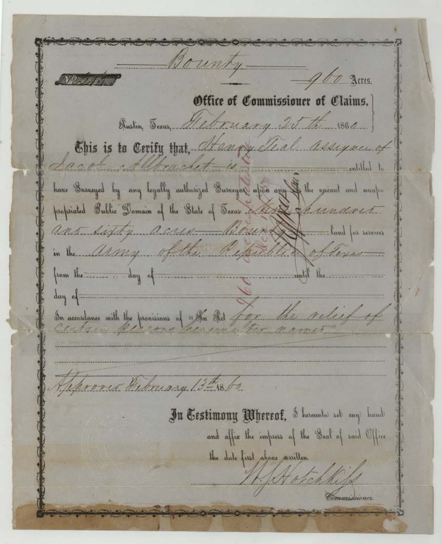
bounty, No. 213 (Robertson Bounty Warrant No. 213), 960 acres, W. J. Hotchkiss, Commissioner of Claims, Austin, 1860-02-25 (two field notes write 26th over another figure).
For services in the Army of the Republic of Texas (service dates left blank on the form), under 'An Act for the relief of certain persons herein after named', approved February 13, 1860; issued directly to Henry Teal as assignee of Jacob Allbrachet
Changes of hand
- before 1860-02-25Jacob Allbrachet → Henry Teal. No deed of transfer in this file; the warrant itself names Teal as assignee
The survey
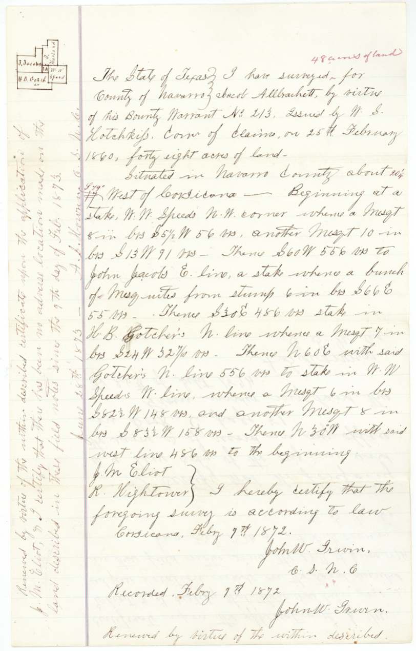
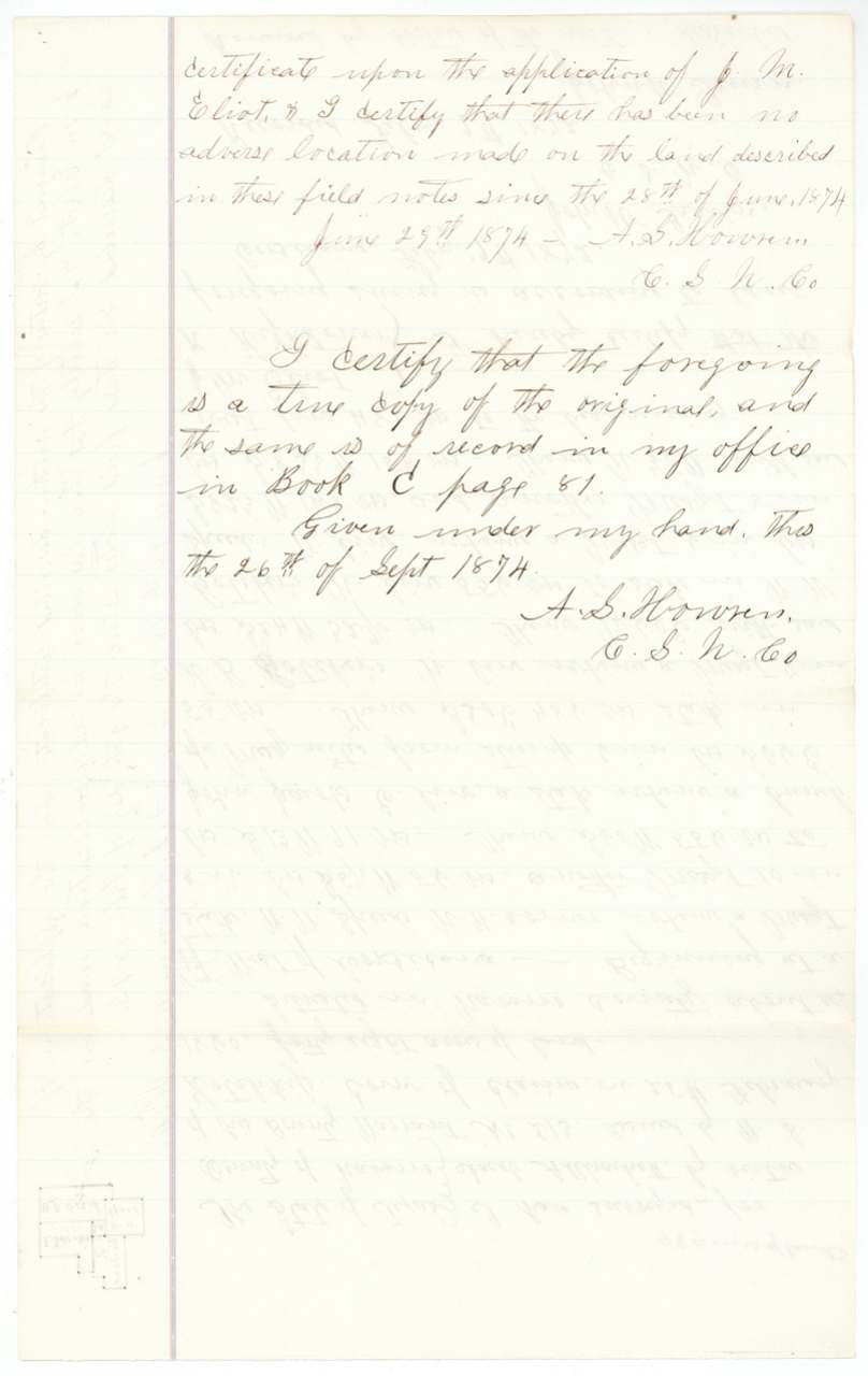
1872-02-09 (recorded same day at Corsicana); renewed 1873/1874 on application of J. M. Eliot; copy certified 1874-09-26, John W. Irwin, County Surveyor of Navarro County (renewed by A. S. Howren, County Surveyor).
Navarro County, about 20¼ miles S 79 W of Corsicana
Chain carriers: J. M. Eliot, R. Hightower.
Navarro County Book C, page 81 (copy)
The survey
certified 1874-06-10, A. S. Howren, County Surveyor of Navarro County.
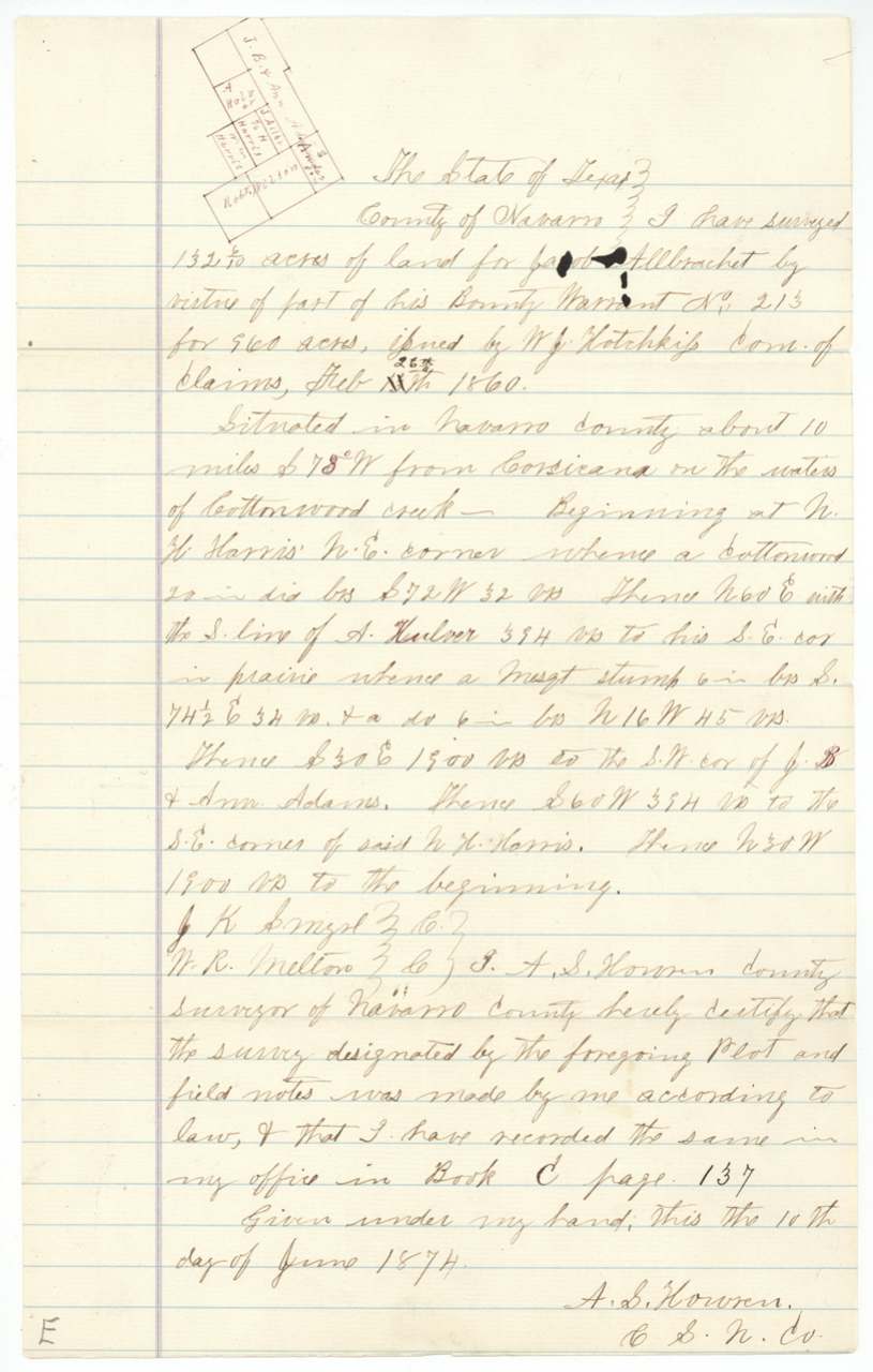
Navarro County, about 10 miles S 78 W of Corsicana on the waters of Cottonwood Creek
Chain carriers: J. K. Smyth(?), W. R. Melton.
Navarro County Book C, page 137
The survey
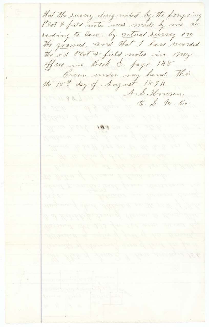
certified 1874-08-18, A. S. Howren, County Surveyor.
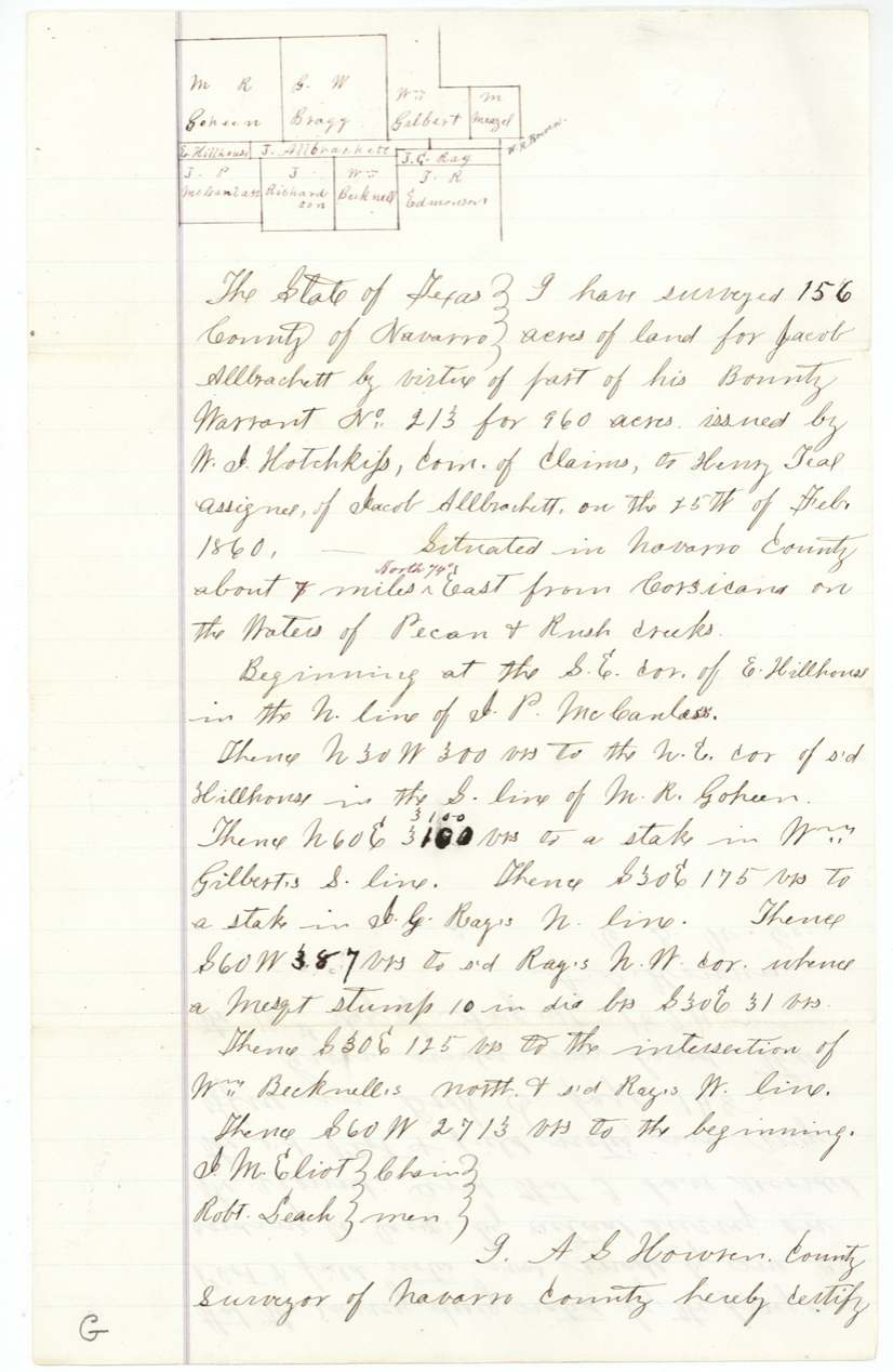
Navarro County, about 7 miles North 74 East of Corsicana on the waters of Pecan and Rush creeks
Chain carriers: J. M. Eliot, Robt. Leach.
Navarro County Book C, page 148
The survey
certified 1874-08-18, A. S. Howren, County Surveyor.
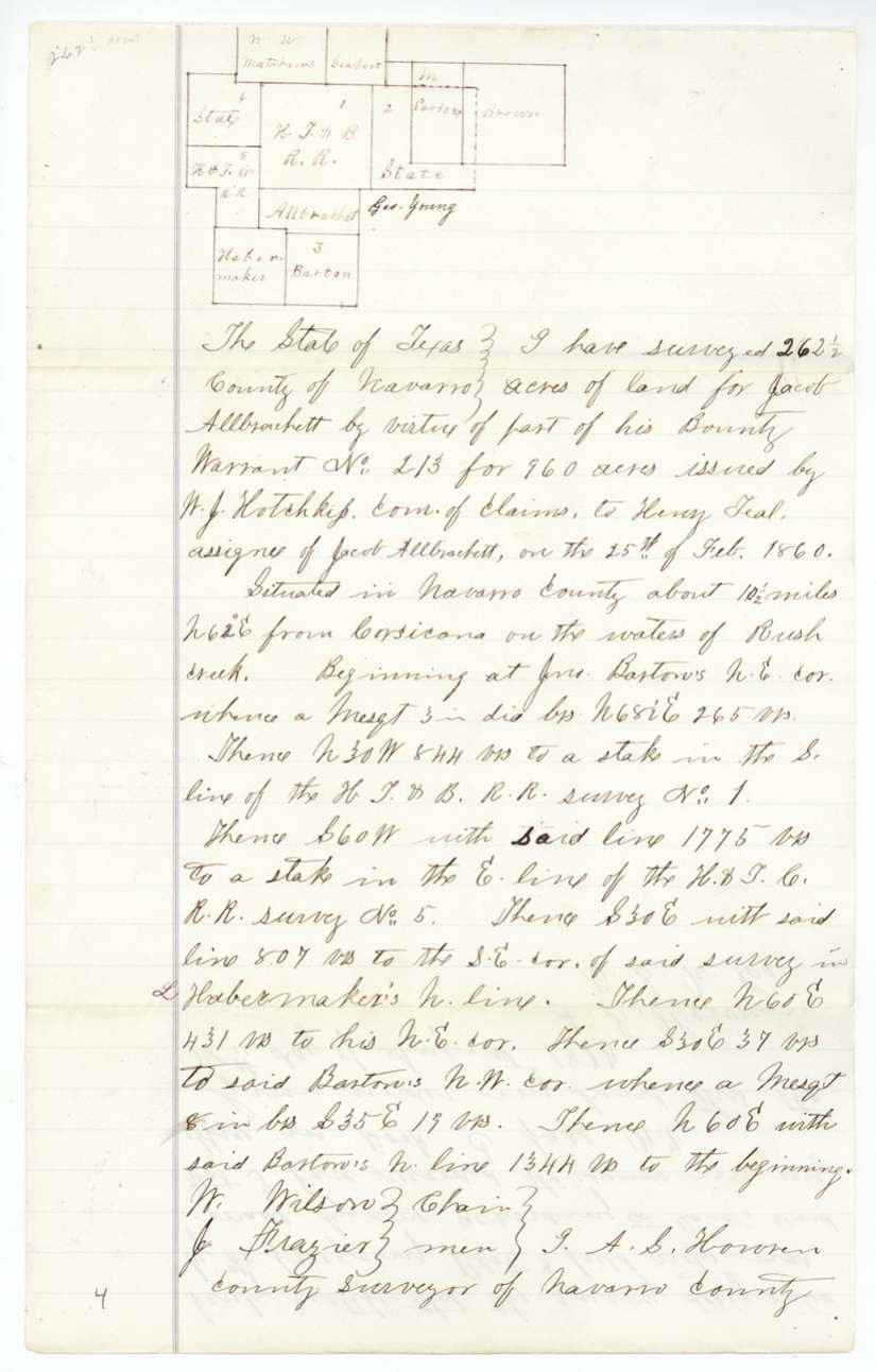
Navarro County, about 10½ miles N 62 E of Corsicana on the waters of Rush Creek
Chain carriers: W. Wilson, J. Frazier.
Navarro County Book C, page 147
The survey
certified 1874-06-09, A. S. Howren, County Surveyor.
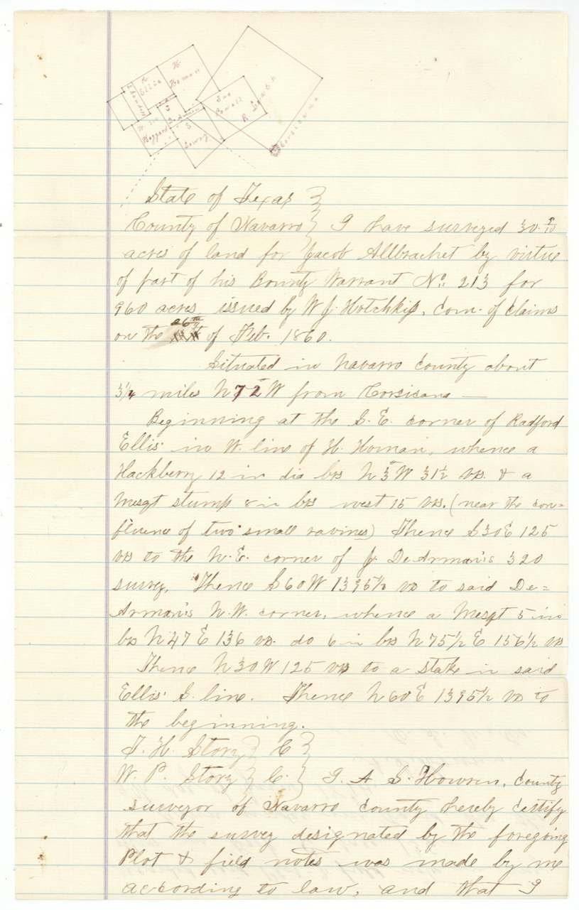
Navarro County, about 3¼ miles N 72 W of Corsicana, near the confluence of two small ravines
Chain carriers: J. H. Story, W. P. Story.
Navarro County Book C, page 136
The survey
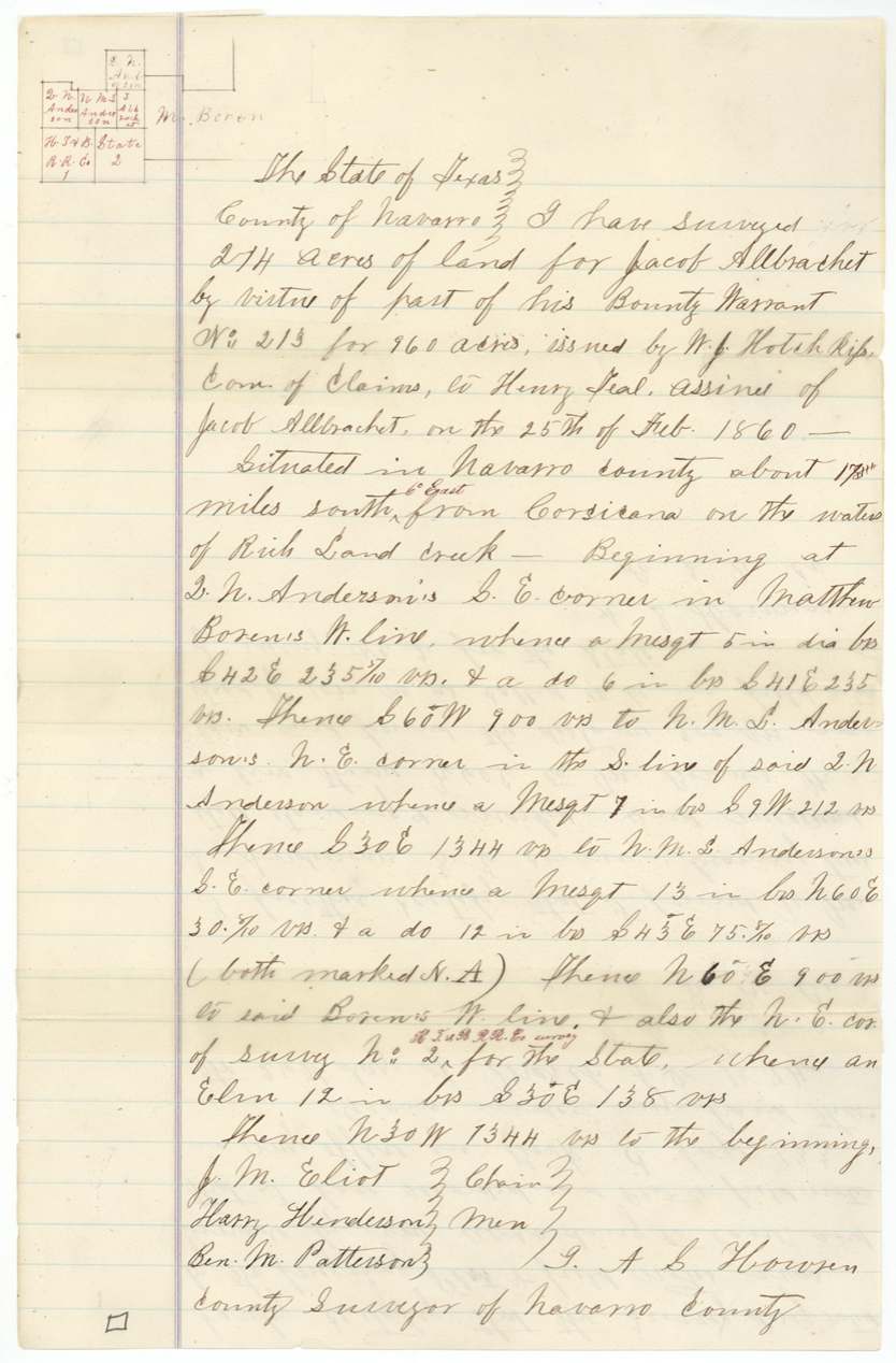
certified 1874-03-26, A. S. Howren, County Surveyor.
Navarro County, about 17½(?) miles South 6 East of Corsicana on the waters of Richland Creek
Chain carriers: J. M. Eliot, Harry Henderson, Ben. M. Patterson.
Navarro County Book C, page 133
The survey
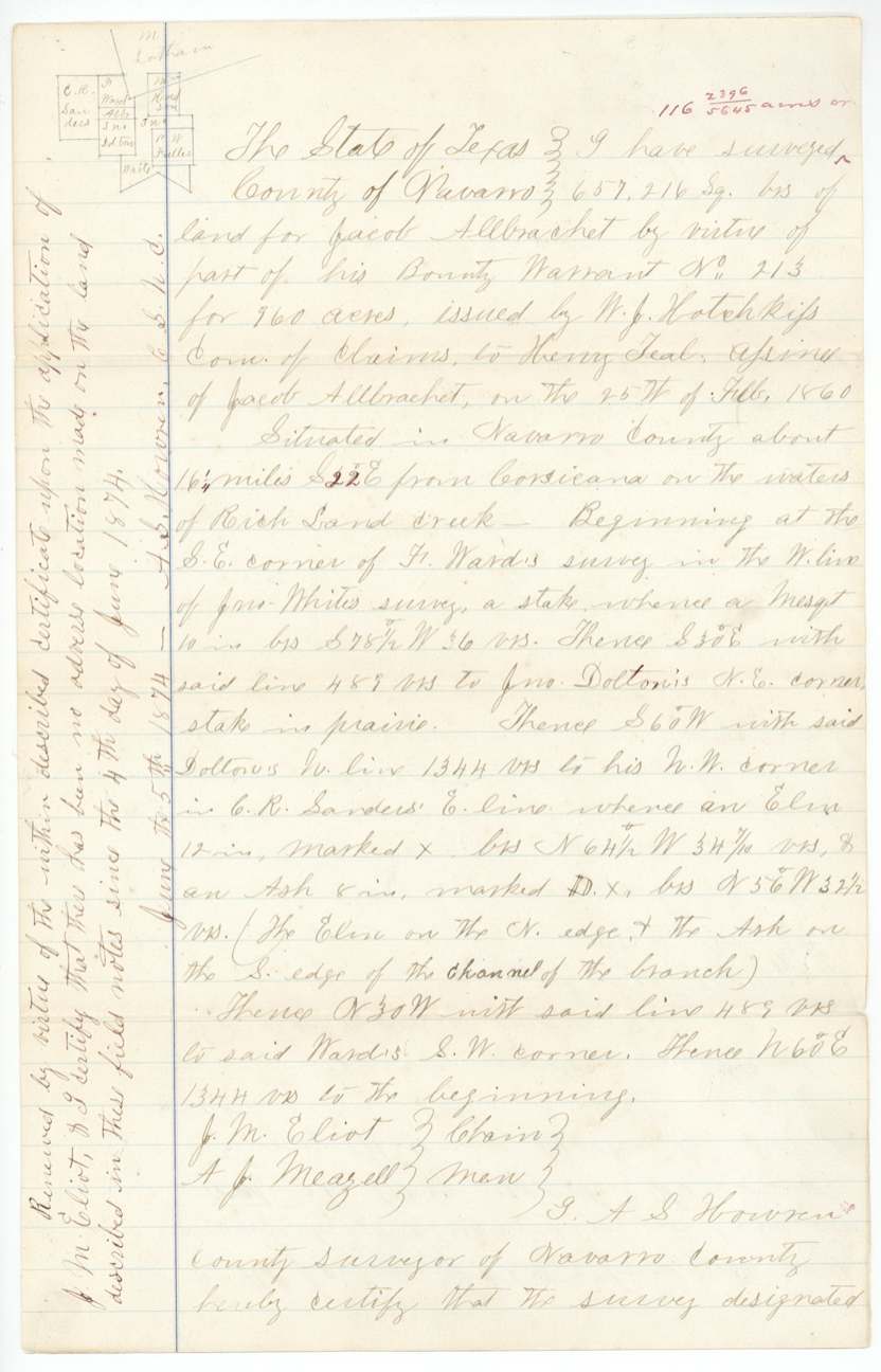
certified 1873-06-04; renewed 1874-06-05 on application of J. M. Eliot, A. S. Howren, County Surveyor.
Navarro County, about 16¼ miles S 22 E of Corsicana on the waters of Richland Creek
Chain carriers: J. M. Eliot, A. J. Meazell.
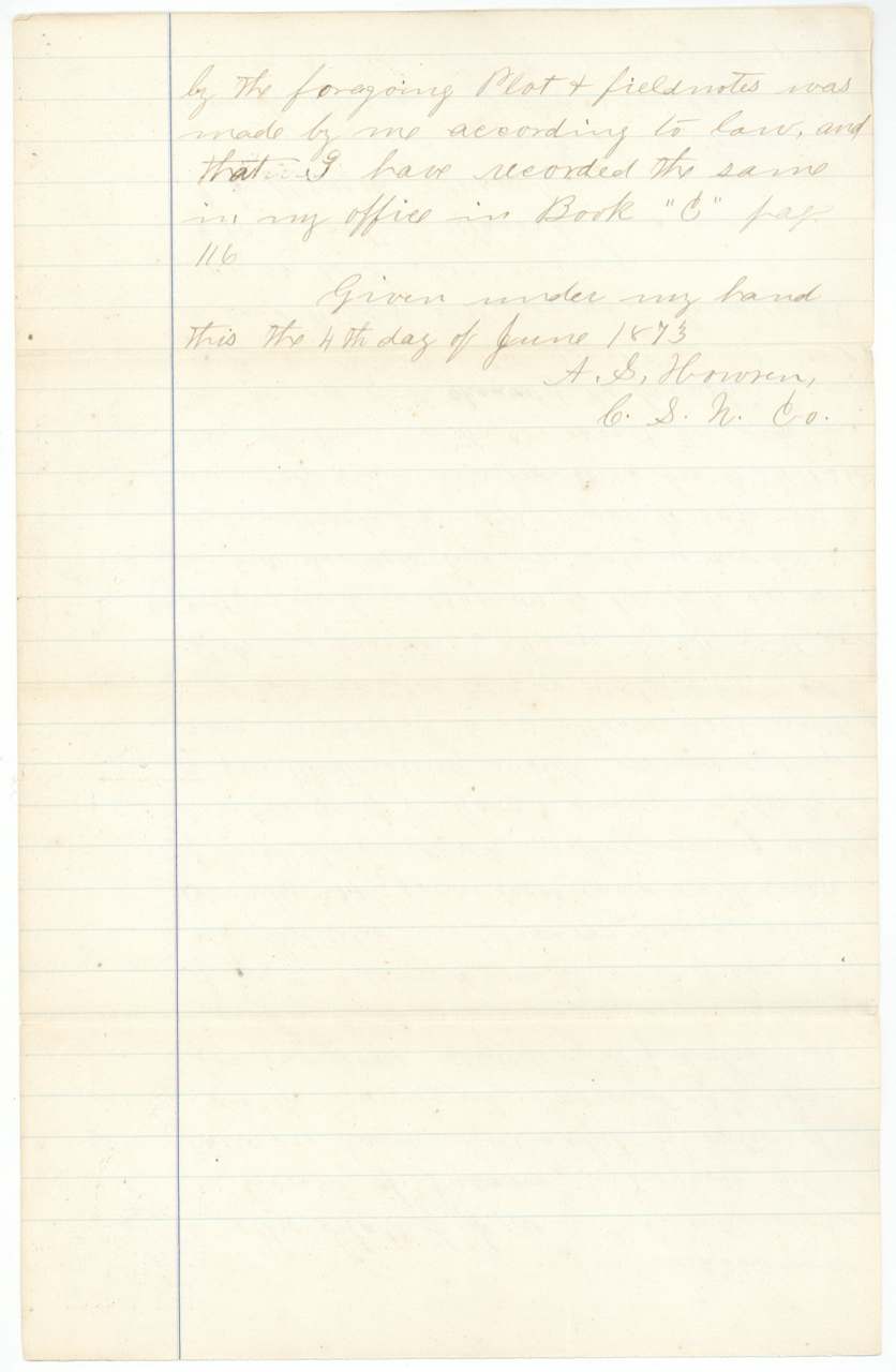
Navarro County Book C, page 116
The patent
10 Dec 1875, Nos. 398, 399, 400, 401, 402, 403 and 404, Vol. 15, to Henry Teal, assignee.
Also in the file
- The warrant was granted by a special act of the Legislature for a named person in 1860, but no land was surveyed on it until 1872 and nothing reached the Land Office until 1874.
- Jacob Allbrachet never held the warrant himself — it was issued from the start to Henry Teal as his assignee.
- The 960 acres were scattered in seven pieces all over Navarro County — east, west and south of Corsicana — fitting into leftover gaps between older surveys ('surrounded' on the map check).
- One survey (48 acres) sits next to John Jacobs' land west of Corsicana; another (132.6 acres) next to A. Hulver's.
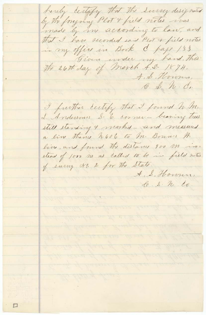
- On the 214-acre tract the county surveyor found the older State survey's line called 1000 varas was really only 900.
- The warrant date is given as 25 February 1860 on the warrant, but two field notes alter it to the 26th.
- The renewal notes on the 48-acre survey give inconsistent dates (1873 and 1874).
Timeline
- 13 Feb 1860Legislature approves 'An Act for the relief of certain persons' naming Allbrachet
- 25 Feb 1860Commissioner of Claims W. J. Hotchkiss issues 960-acre bounty warrant No. 213 to Henry Teal, assignee of Jacob Allbrachet
- 9 Feb 1872County Surveyor John W. Irwin surveys 48 acres west of Corsicana
- 4 Jun 1873A. S. Howren certifies the 116-acre survey on Richland Creek
- 26 Mar 1874Howren certifies the 214-acre survey on Richland Creek
- 9 Jun 1874Howren certifies 30.9 acres near Corsicana and (June 10) 132.6 acres on Cottonwood Creek
- 18 Aug 1874Howren certifies 156 acres (Pecan/Rush creeks) and 262½ acres (Rush Creek)
- 8 Oct 1874Warrant and seven field notes filed in the GLO
- 10 Dec 1875Seven patents, Nos. 398–404 Vol. 15, issued to Henry Teal, assignee
The papers in the file
Every page of the Land Office file, in the order the Land Office keeps them (22 pages). Tap a page to see it larger.
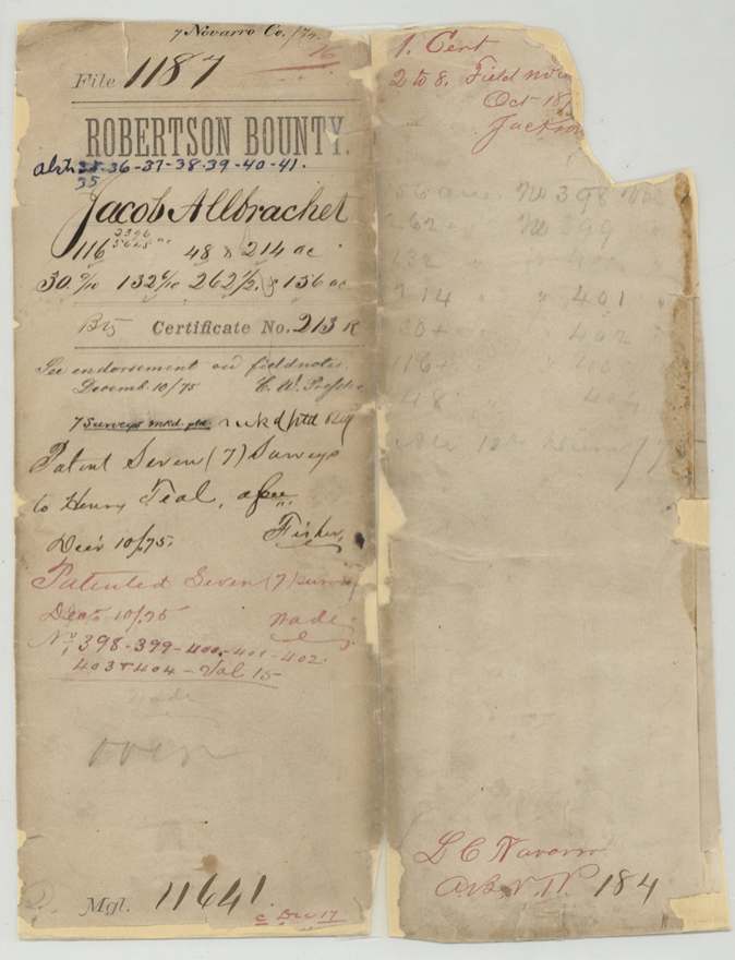
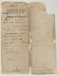 File jacketFile jacket for the Robertson Bounty file of Jacob Allbrachet, listing the warrant, seven sets of field notes and the patent to Henry Teal.General Land Office, file 1187, page 1 · in the scan
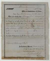 CertificateBounty warrant No. 213 for 960 acres, issued at Austin on 25 February 1860 to Henry Teal, assignee of Jacob Allbrachet, for army service in the Republic of Texas.General Land Office, file 1187, page 2 · in the scan
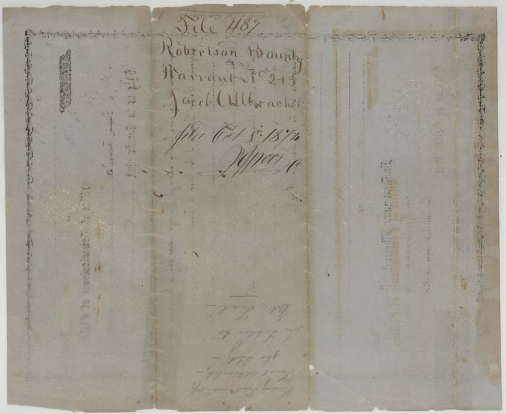
 Back of the certificateBack of the bounty warrant, marked as filed in the General Land Office on 8 October 1874.General Land Office, file 1187, page 3 · in the scan
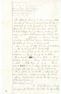 Field notesField notes for 156 acres on Pecan and Rush creeks, surveyed by A. S. Howren, Navarro County surveyor, under Jacob Allbrachet's bounty warrant, with a small plat.General Land Office, file 1187, page 4 · in the scan
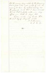 Field notesSecond page of the 156-acre field notes, with the surveyor's certificate of 18 August 1874 and the county record reference.General Land Office, file 1187, page 5 · in the scan
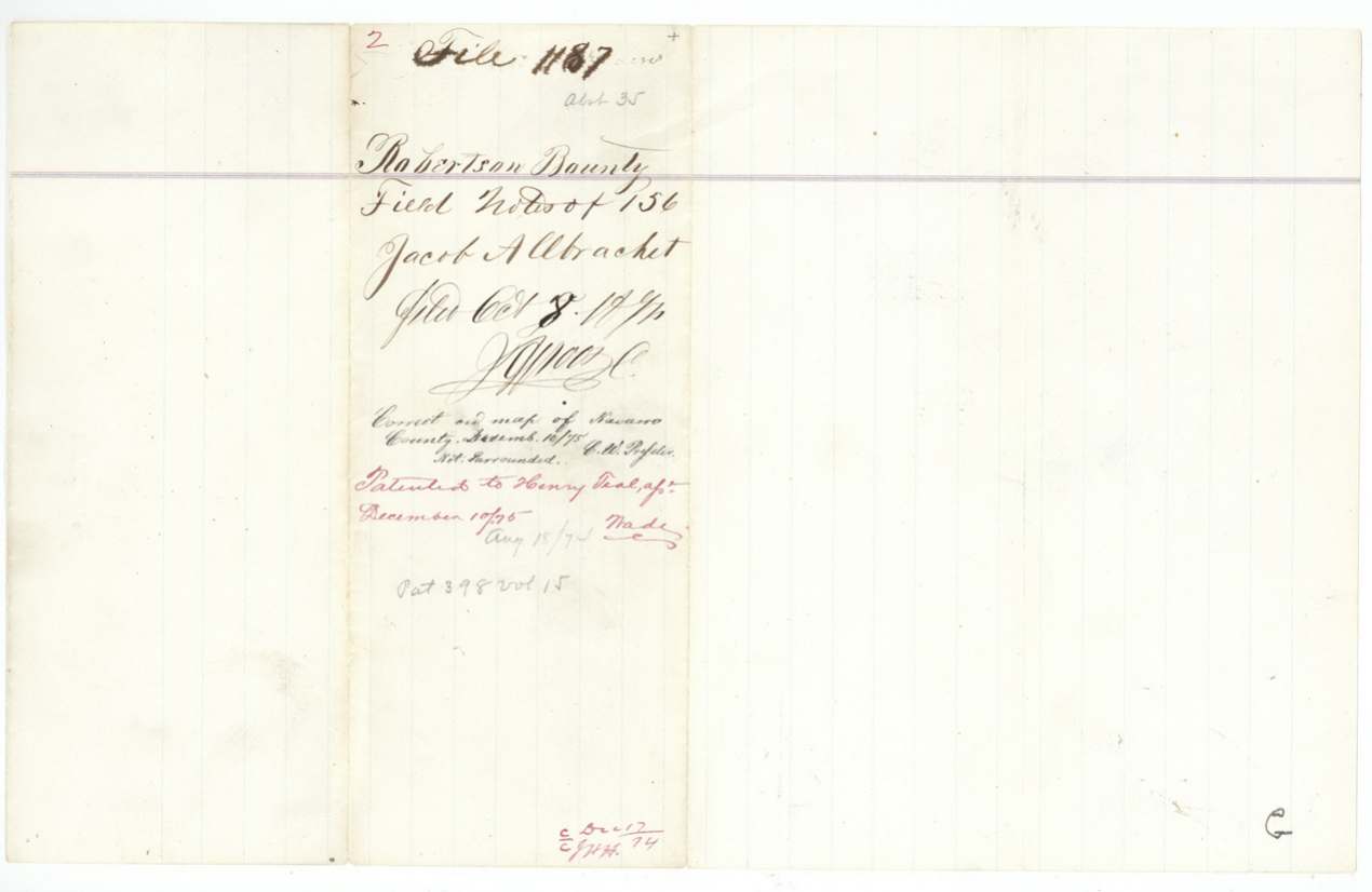
 File jacketJacket for the 156-acre field notes, filed 8 October 1874 and marked patented to Henry Teal, assignee.General Land Office, file 1187, page 6 · in the scan
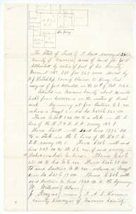 Field notesField notes for 262½ acres on Rush Creek, surveyed by A. S. Howren for Jacob Allbrachet's bounty warrant, with a plat of neighbouring surveys.General Land Office, file 1187, page 7 · in the scan
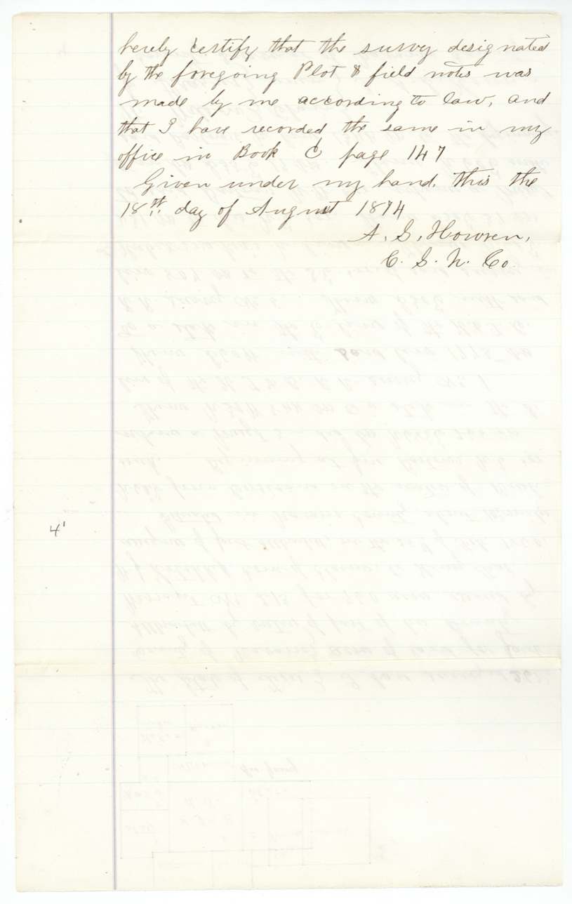
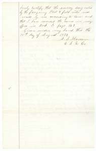 Field notesSecond page of the 262½-acre field notes, with the surveyor's certificate of 18 August 1874.General Land Office, file 1187, page 8 · in the scan
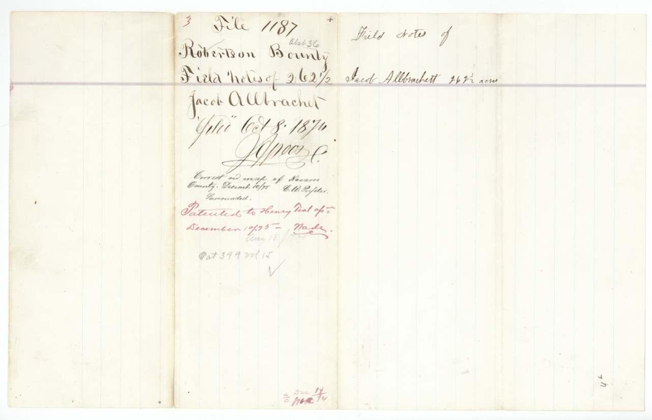
 File jacketJacket for the 262½-acre field notes, filed 8 October 1874 and marked patented to Henry Teal, assignee.General Land Office, file 1187, page 9 · in the scan
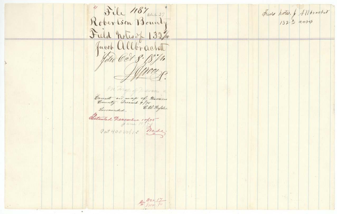
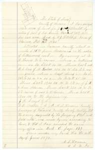 Field notesField notes for 132 6/10 acres on Cottonwood Creek, surveyed by A. S. Howren for Jacob Allbrachet's bounty warrant, with a small plat.General Land Office, file 1187, page 10 · in the scan
 File jacketJacket for the 132 6/10-acre field notes, filed 8 October 1874 and marked patented to Henry Teal, assignee.General Land Office, file 1187, page 11 · in the scan
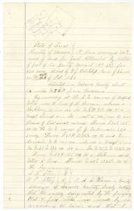 Field notesField notes for 30 9/10 acres near Corsicana, surveyed by A. S. Howren for Jacob Allbrachet's bounty warrant, with a plat.General Land Office, file 1187, page 12 · in the scan
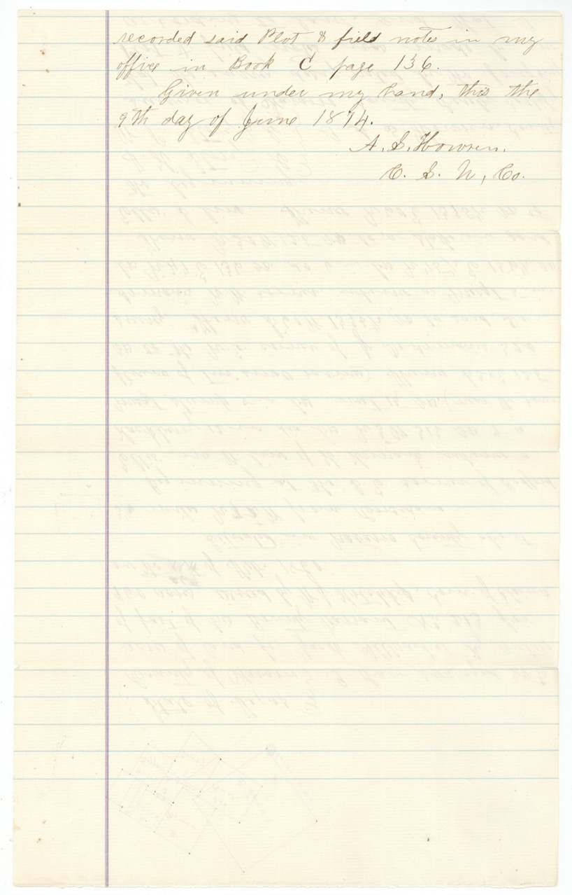
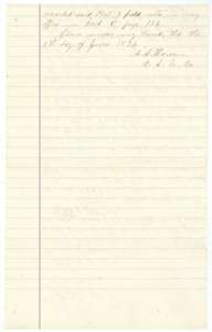 Field notesClosing page of the 30 9/10-acre field notes, with the surveyor's certificate of 9 June 1874.General Land Office, file 1187, page 13 · in the scan
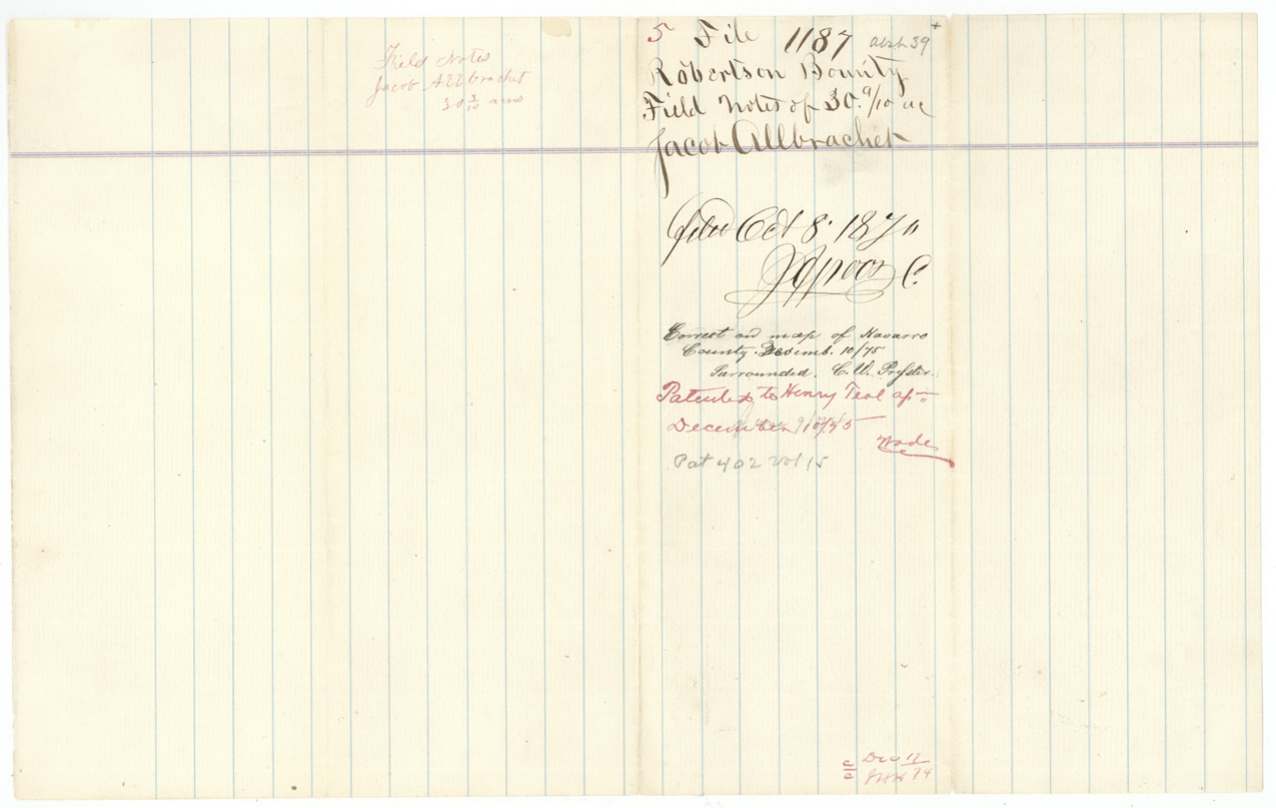
 File jacketJacket for the 30 9/10-acre field notes, filed 8 October 1874 and marked patented to Henry Teal, assignee.General Land Office, file 1187, page 14 · in the scan
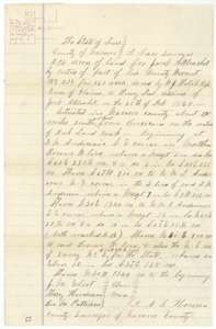 Field notesField notes for 214 acres on Richland Creek, surveyed by A. S. Howren for Jacob Allbrachet's bounty warrant, with a small plat.General Land Office, file 1187, page 15 · in the scan
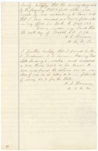 Field notesClosing page of the 214-acre field notes, with a further note on an older corner tree and a measured distance.General Land Office, file 1187, page 16 · in the scan
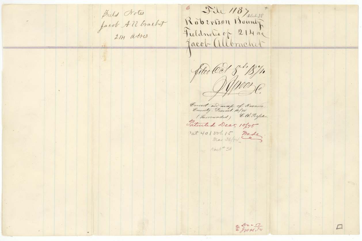
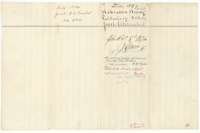 File jacketJacket for the 214-acre field notes, filed 8 October 1874 and marked patented to Henry Teal, assignee.General Land Office, file 1187, page 17 · in the scan
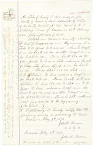 Field notesField notes for 48 acres west of Corsicana, surveyed by County Surveyor John W. Irwin on 9 February 1872 for Jacob Allbrachet's bounty warrant, with later renewal notes.General Land Office, file 1187, page 18 · in the scan
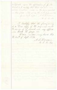 Field notesContinuation of the 48-acre field notes with a renewal certificate and A. S. Howren's certified copy of 26 September 1874.General Land Office, file 1187, page 19 · in the scan
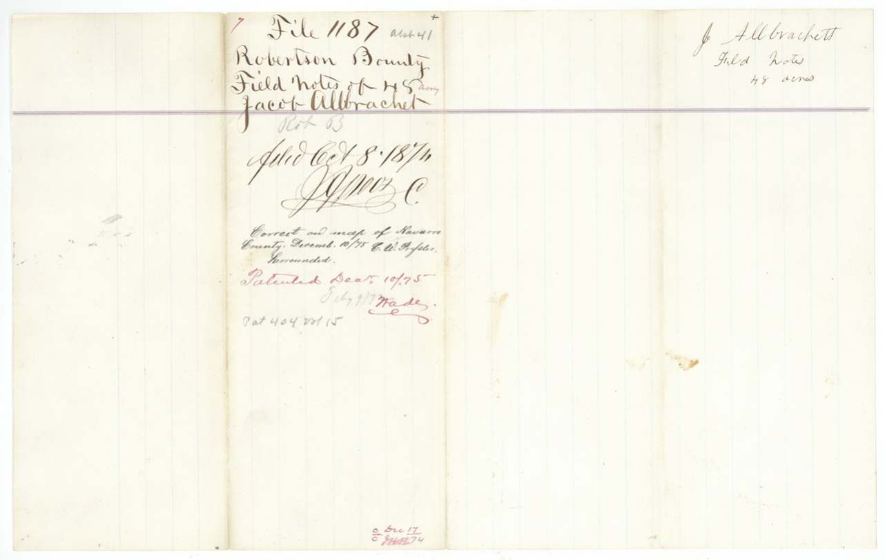
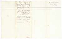 File jacketJacket for the 48-acre field notes, filed 8 October 1874 and marked patented to Henry Teal, assignee.General Land Office, file 1187, page 20 · in the scan
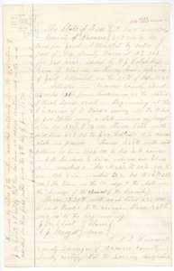 Field notesField notes for about 116 acres on Richland Creek, surveyed by A. S. Howren for Jacob Allbrachet's bounty warrant, with a small plat and renewal note.General Land Office, file 1187, page 21 · in the scan
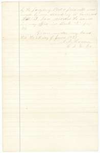 Field notesClosing page of the 116-acre field notes, with the surveyor's certificate and county record reference.General Land Office, file 1187, page 22 · in the scan
Scans courtesy of the Texas General Land Office, Austin, from its Land Grant Database.
Neighbouring surveys
Sources
- Texas General Land Office, Land Grant Database: Navarro County, Abstract 41
- The Land Office file, scanned (PDF, at the General Land Office)
- 1924 map: courtesy of the Texas General Land Office, Austin, Map 73249, used under licence. Topo: U.S. Geological Survey, The National Map. Aerial photographs: U.S. Department of Agriculture, National Agriculture Imagery Program, 2012, 2018 and 2022. Survey outlines: Railroad Commission of Texas, Original Texas Land Survey. Grant records and files: Texas General Land Office.