Blackland TX · ← All the original surveys
H. B. Gotcher Survey, Abstract 322
- Granted to
- H. B. Gotcher
- Kind of grant
- Headright, third classLand for later settlers, including the colonists of Mercer’s Colony.
- Land Office file
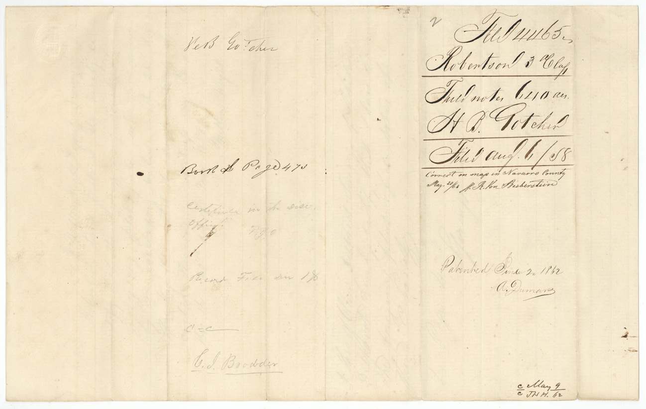
- Robertson 3rd class, file 4465
- Acres
- 640
- Patented to
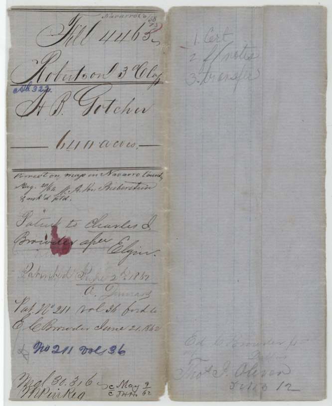
- Charles J. Browder
- Patent
- 02 Jun 1862 · No. 211, Vol. 36
Tap a survey to open its page.
What the file shows
Hugh B. Gotcher proved in Hunt County District Court that he had settled in Charles Fenton Mercer's colony as a married man by October 1848, and on November 11, 1857 the court ordered a 640-acre colonist certificate for him. The next day he sold it to Charles J. Browder for $160. Deputy surveyor Milton Wright located it in May 1858 on Richland Creek in northwestern Navarro County, joining the Jacobs, Speed, Morrell and Packwood surveys, and District Surveyor Thos. J. Oliver approved it at Springfield. The patent issued to Browder as assignee on June 2, 1862 (No. 211, Vol. 36) and was forwarded to E. C. Browder.
The certificate
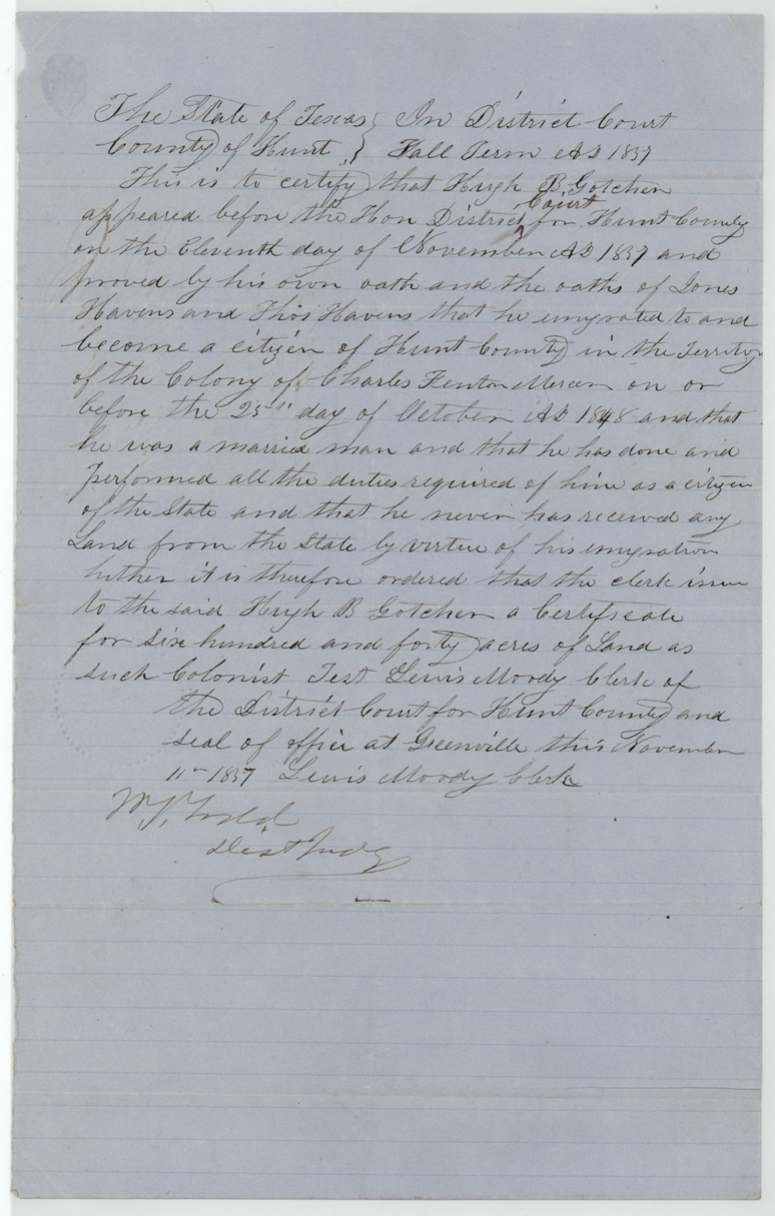
other — Mercer Colony headright (colonist's certificate), filed under GLO class Robertson 3rd, No. not stated, 640 acres, District Court of Hunt County, Fall Term 1857; attest Lewis Moody, Clerk; signed W. J.(?) Lytle(?), Dist. Judge, Greenville, Hunt County, 11 Nov 1857.
Proved by his own oath and the oaths of Jones(?) Havens and Thos. Havens that he immigrated to and became a citizen of Hunt County within Charles Fenton Mercer's colony on or before 25 Oct 1848, was a married man, had performed all the duties of a citizen, and had never received land from the State for his immigration
Changes of hand
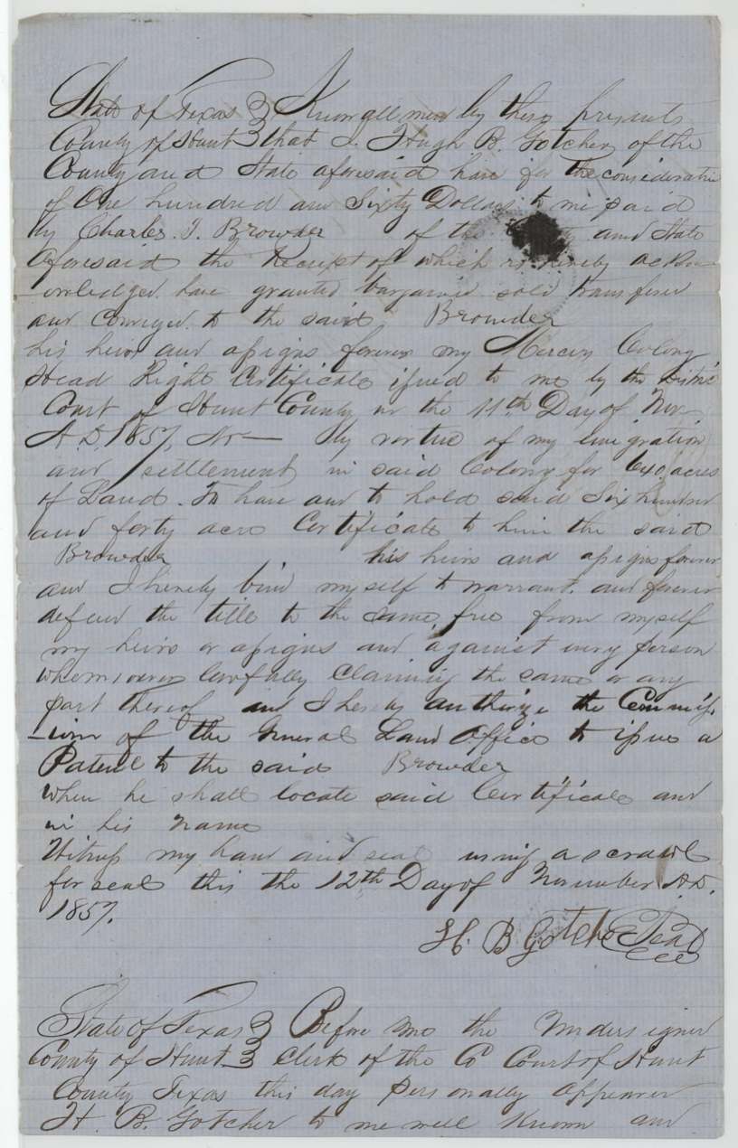
- 12 Nov 1857Hugh B. Gotcher, of Hunt County → Charles J. Browder, of Hunt County, $160, Hunt County. Sale of the certificate the day after it was issued; Gotcher warrants title and authorises the GLO Commissioner to issue the patent to Browder when he locates it. Sealed with a scrawl. Filed in GLO 5 Oct 1858.
The survey
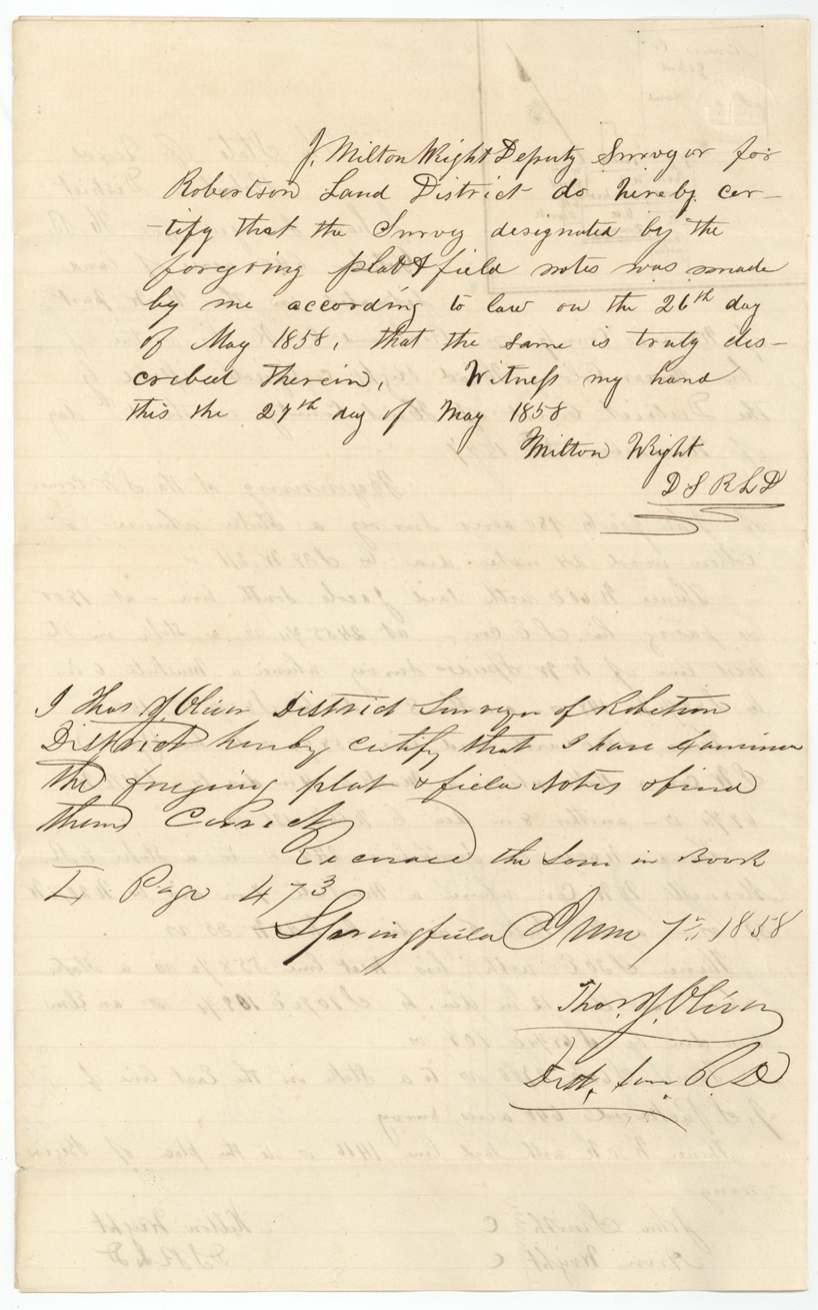
1858-05-26 (certified 1858-05-27; examined 1858-06-07), Milton Wright, Deputy Surveyor, Robertson Land District.
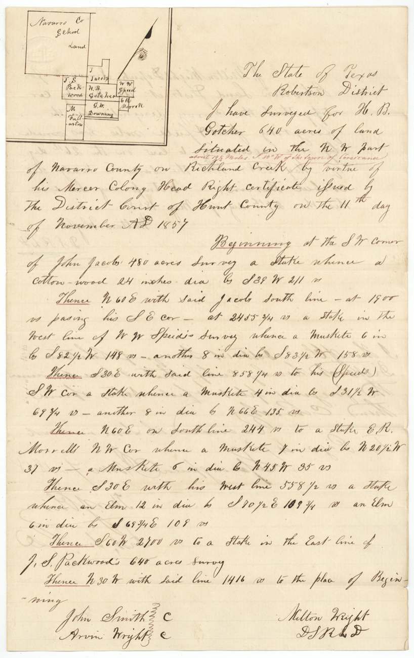
NW part of Navarro County on Richland Creek, about 19 1/2(?) miles S 80 W(?) of the town of Corsicana (red interlineation)
Chain carriers: John Smith, Arvin(?) Wright.
Book L(?), page 473
The patent
2 Jun 1862, No. 211, Vol. 36, to Charles J. Browder, assignee, delivered to forwarded to E. C. Browder June 21, 1862; pencil 'Ed. C. Browder for Thos. J. Oliver, Dallas(?)'.
Also in the file
- Gotcher sold his 640-acre certificate for $160 — 25 cents an acre — the day after the Hunt County court issued it, so he never set foot on this land as owner.
- The certificate came from the Mercer Colony, a North Texas empresario colony far from Navarro County; it was simply used as paper to claim land on Richland Creek.
- The patent was issued in June 1862, in the middle of the Civil War, to the buyer's relative or agent (forwarded to E. C. Browder).
- The district surveyor who approved the field notes, Thos. J. Oliver, also appears in pencil as the person for whom E. C. Browder took delivery.
Timeline
- 25 Oct 1848Latest date by which Gotcher says he immigrated to Mercer's Colony (Hunt County), as a married man
- 11 Nov 1857Hunt County District Court orders a 640-acre colonist certificate for Gotcher
- 12 Nov 1857Gotcher sells the certificate to Charles J. Browder for $160
- 13 Nov 1857Sale acknowledged before Hunt County clerk at Greenville
- 26 May 1858Milton Wright surveys 640 acres on Richland Creek, NW Navarro County
- 7 Jun 1858Field notes examined at Springfield by Thos. J. Oliver; recorded Book L p. 473
- 6 Aug 1858Field notes filed in GLO
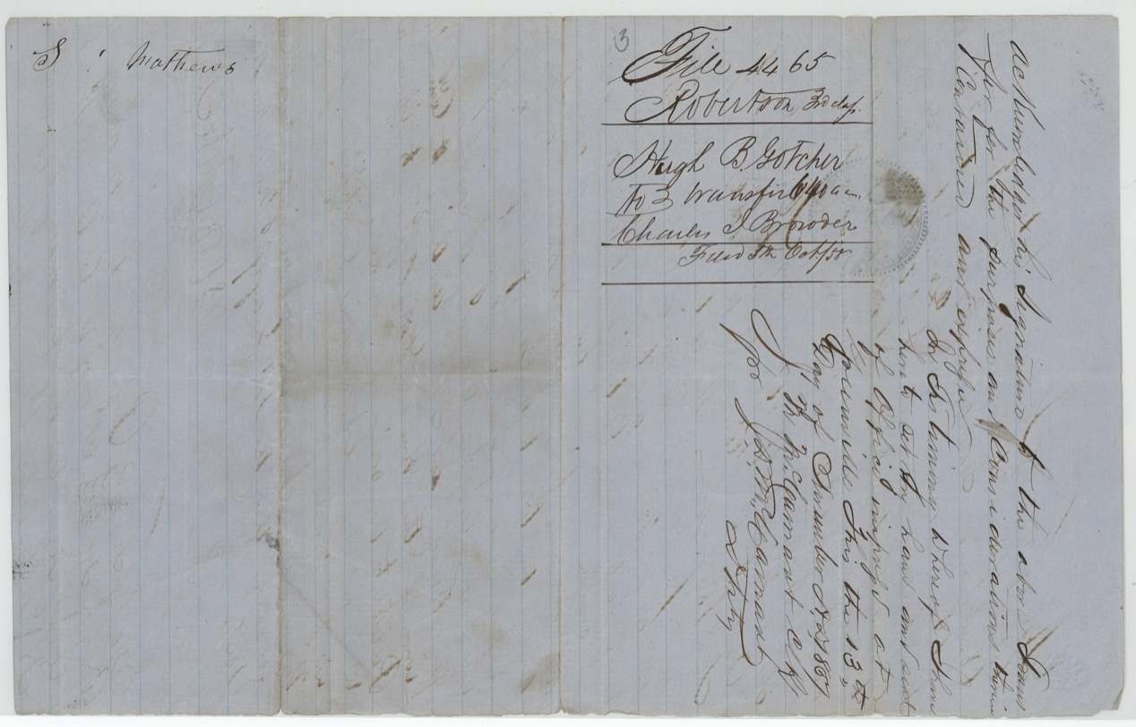
- 5 Oct 1858Certificate and transfer filed in GLO
- 20 May 1862Checked correct on Navarro map (A. von Biberstein)
- 2 Jun 1862Patent No. 211, Vol. 36 to Charles J. Browder, assignee
- 21 Jun 1862Patent forwarded to E. C. Browder
The papers in the file
Every page of the Land Office file, in the order the Land Office keeps them (8 pages). Tap a page to see it larger.
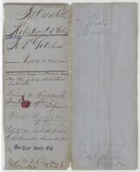 File jacketFile jacket for Hugh B. Gotcher's 640-acre Mercer Colony survey on Richland Creek, with the patent of 2 June 1862 to Charles J. Browder.General Land Office, file 4465, page 1 · in the scan
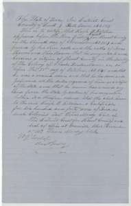 CertificateMercer Colony headright certificate for 640 acres issued to Hugh B. Gotcher by the Hunt County District Court, 11 November 1857.General Land Office, file 4465, page 2 · in the scan
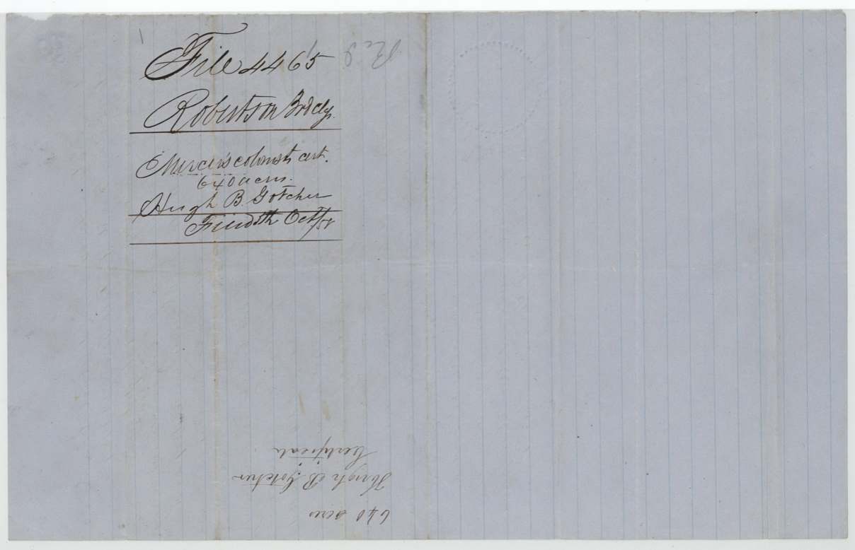
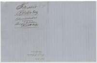 WrapperBack of the certificate, with the docket naming Hugh B. Gotcher and the Land Office filing note of 5 October 1858.General Land Office, file 4465, page 3 · in the scan
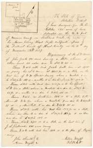 Field notesField notes for 640 acres on Richland Creek, surveyed for H. B. Gotcher by deputy surveyor Milton Wright, 26 May 1858, with a plat.General Land Office, file 4465, page 4 · in the scan
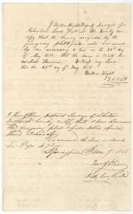 Surveyor's certificateCertificates of deputy surveyor Milton Wright, 27 May 1858, and district surveyor Thos. J. Oliver, 7 June 1858, that the Gotcher survey is correct and recorded.General Land Office, file 4465, page 5 · in the scan
 WrapperField notes jacket for H. B. Gotcher's 640 acres, with the filing note of 6 August 1858 and the patent note.General Land Office, file 4465, page 6 · in the scan
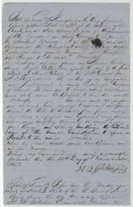 TransferTransfer from Hugh B. Gotcher to Charles J. Browder of his 640-acre Mercer Colony certificate for $160, 12 November 1857.General Land Office, file 4465, page 7 · in the scan
 WrapperBack of the Gotcher transfer, with the clerk's acknowledgment, the docket and the Land Office filing note of 5 October 1858.General Land Office, file 4465, page 8 · in the scan
Scans courtesy of the Texas General Land Office, Austin, from its Land Grant Database.
Neighbouring surveys
Sources
- Texas General Land Office, Land Grant Database: Navarro County, Abstract 322
- The Land Office file, scanned (PDF, at the General Land Office)
- 1924 map: courtesy of the Texas General Land Office, Austin, Map 73249, used under licence. Topo: U.S. Geological Survey, The National Map. Aerial photographs: U.S. Department of Agriculture, National Agriculture Imagery Program, 2012, 2018 and 2022. Survey outlines: Railroad Commission of Texas, Original Texas Land Survey. Grant records and files: Texas General Land Office.