Blackland TX · ← All the original surveys
George W. Downing Survey, Abstract 230
- Granted to
- George W. Downing
- Kind of grant
- Headright, third classLand for later settlers, including the colonists of Mercer’s Colony.
- Land Office file
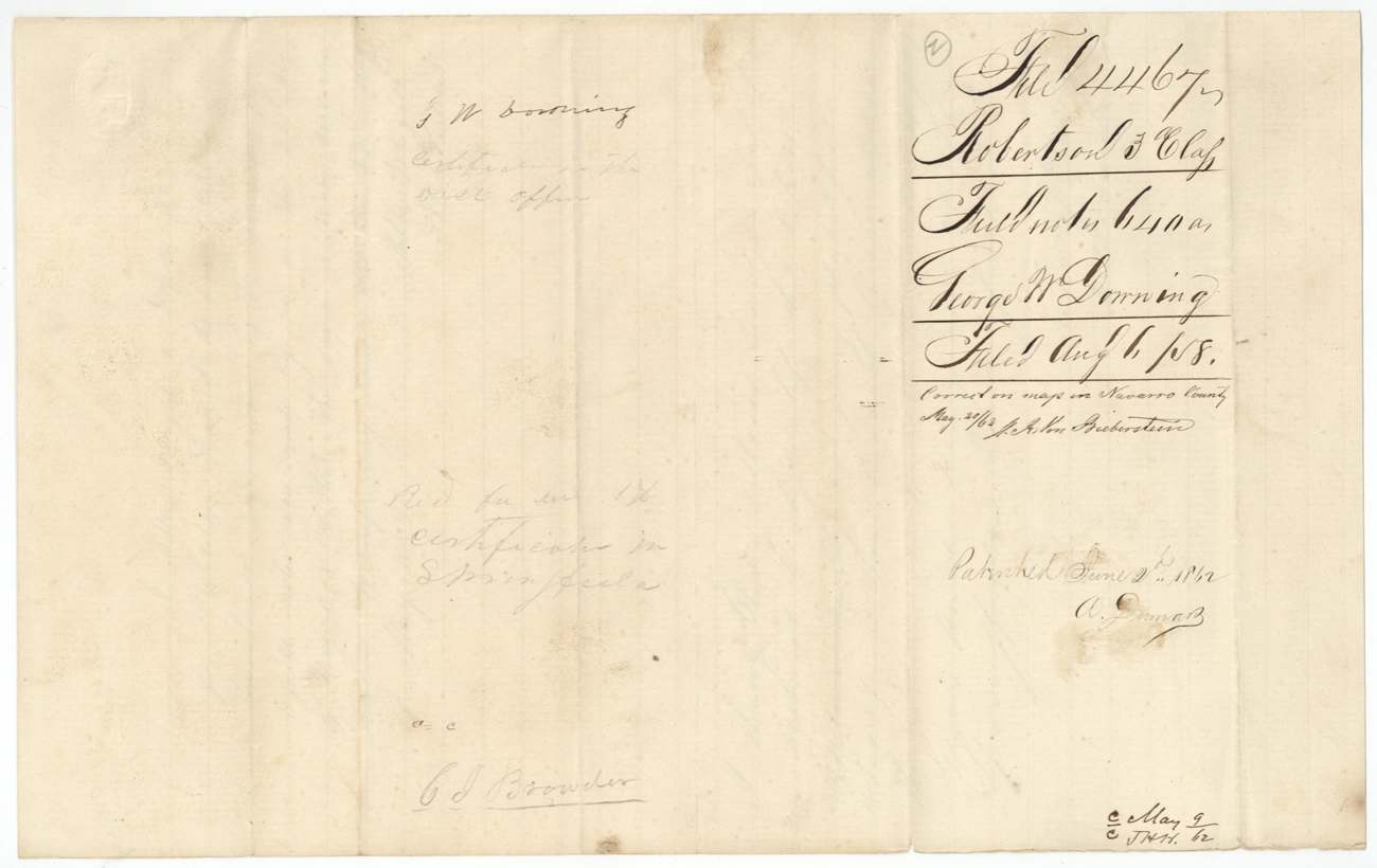
- Robertson 3rd class, file 4467
- Certificate
- No. 253
- Acres
- 640
- Patented to
- Charles J. Browder
- Patent
- 03 Jun 1862 · No. 216, Vol. 36
Tap a survey to open its page.
What the file shows
George W. Downing, a married man who proved residence in Mercer's Colony before October 1848, received Mercer colonist certificate No. 253 for 640 acres from the Hopkins County District Court on 31 October 1856. He assigned it in August 1857 to M. A. Scott, who sold it to Charles J. Browder of Dallas; that deed was lost and Scott gave a replacement for $320 in May 1859. Deputy surveyor Milton Wright located the 640 acres on Richland Creek about 19 miles southwest of Corsicana in May 1858, beside the Gotcher, Packwood and Morrell surveys. The patent issued to Browder on 2 June 1862 (No. 216, Vol. 36) and was forwarded to E. C. Browder.
The certificate
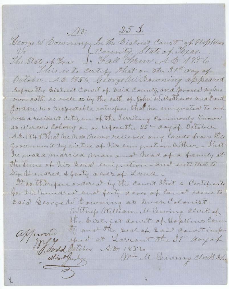
No. 253, 640 acres, District Court of Hopkins County (William M. Ewing, Clerk D.C.); approved by W. J.(?) Todd, District Judge, Tarrant(?) [seat of Hopkins County court, as written 'at Tarrant'], Hopkins County, 31 Oct 1856.
Mercer's Colony colonist certificate by order of the court, Fall Term 1856: Downing proved by his own oath and those of John W. Matthews and Daniel Jordan that he emigrated to and was a resident citizen of Mercer's Colony on or before 25 Oct 1848, had never received land from the government by virtue of his emigration, and was a married man and head of a family at the time of his emigration.
Changes of hand
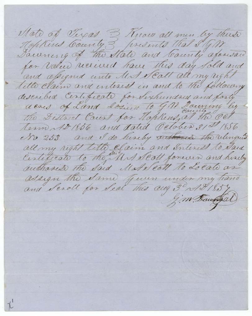
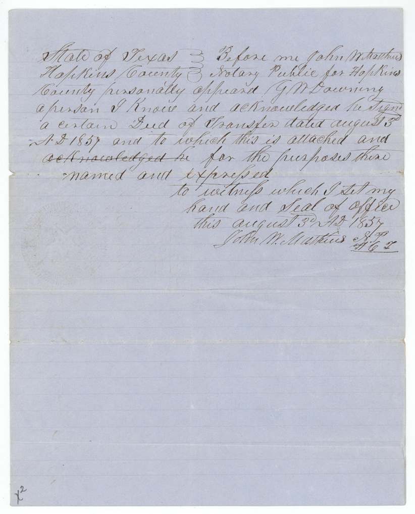
- 3 Aug 1857G. W. Downing, of Hopkins County → M. A. Scott, for value received (no sum stated), Hopkins County. Assigns certificate No. 253 and authorises Scott to locate or assign it. The notary is the same John W. Matthews who witnessed Downing's colony proof.
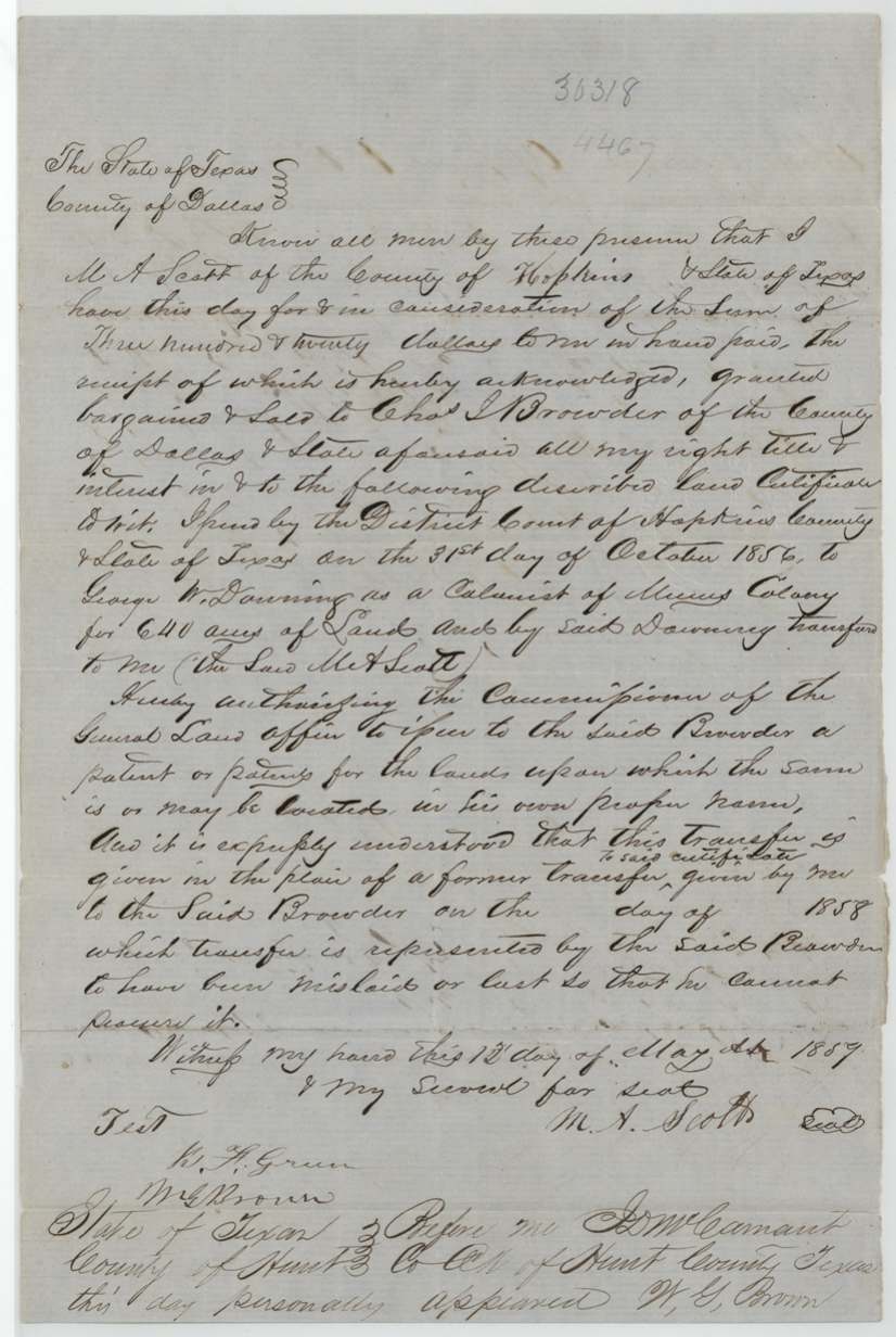
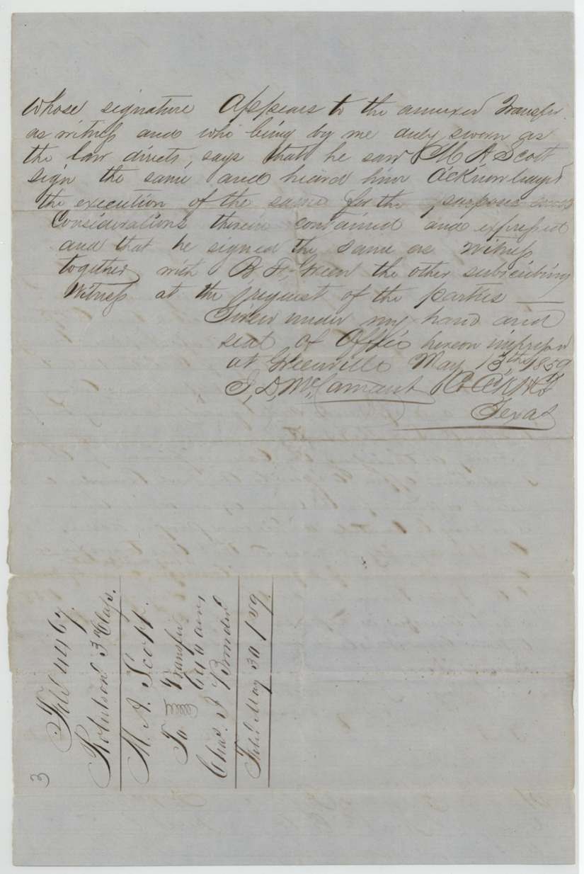
- 13 May 1859M. A. Scott, of Hopkins County → Chas. J. Browder, of Dallas County, $320, headed County of Dallas; proved in Hunt County. Given 'in the place of a former transfer' to Browder dated (blank) 1858, which Browder represented had been mislaid or lost. Authorises the Commissioner to patent to Browder in his own name. Filed 30 May 1859.
The survey
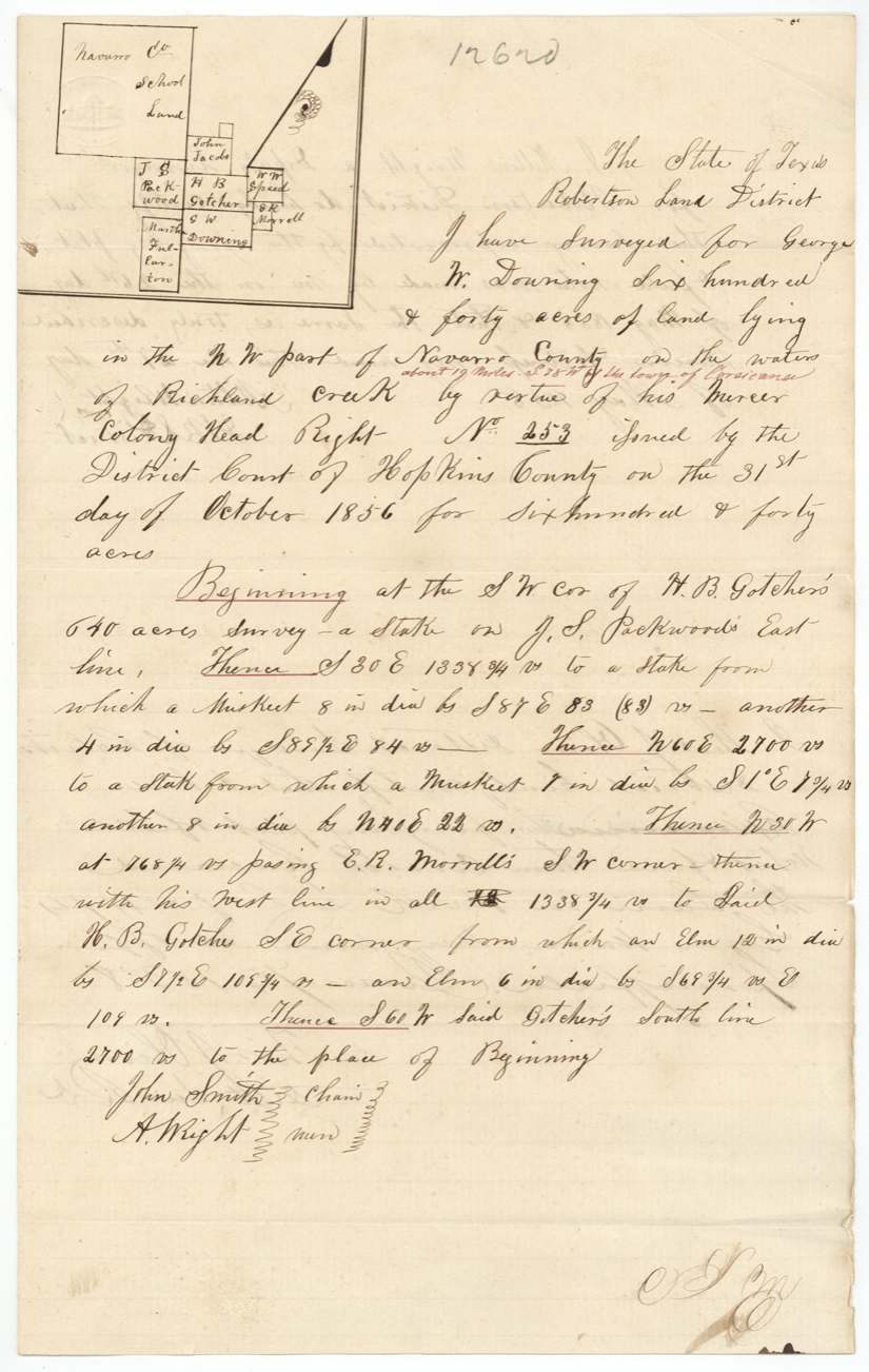
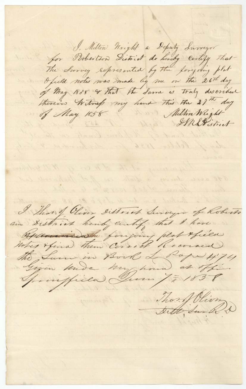
26 May 1858, Milton Wright, deputy surveyor, Robertson Land District.
N.W. part of Navarro County on the waters of Richland Creek, about 19 miles S 38 W of the town of Corsicana (distance added in red)
Chain carriers: John Smith, A. Wright.
Book L, page 474
The patent
2 Jun 1862, No. 216, Vol. 36, to Charles J. Browder, assignee, delivered to E. C. Browder, June 21/62 (patent 'forwarded to').
Also in the file
- The certificate was issued by the Hopkins County court in northeast Texas, but the land was located far away in Navarro County, as Mercer's Colony certificates could be placed anywhere in the colony.
- The original sale from Scott to Browder was lost, so Scott signed a replacement deed in May 1859, raising the question of how many hands the certificate passed through.
- The deputy surveyor dated the survey 1888 by slip of the pen; his own certificate and the district surveyor's endorsement show it was 1858.
- The sale from Downing to Scott names no price, only 'value received'.
- The notary who took Downing's acknowledgment, John W. Matthews, had also sworn to Downing's colony residence.
Timeline
- 25 Oct 1848Cut-off date for Mercer's Colony residence; Downing married and head of a family at emigration
- 31 Oct 1856Hopkins County District Court orders certificate No. 253 for 640 acres
- 3 Aug 1857Downing assigns certificate to M. A. Scott
- 1858First (lost) transfer from Scott to Charles J. Browder
- 26 May 1858Milton Wright surveys 640 acres on Richland Creek
- 7 Jun 1858Thos. J. Oliver examines and records survey at Springfield
- 6 Aug 1858Field notes filed in GLO
- 5 Oct 1858Certificate and Downing-Scott transfer filed
- 13 May 1859Scott gives replacement deed to Browder for $320, proved at Greenville
- 30 May 1859Replacement transfer filed
- 20 May 1862Checked correct on Navarro County map
- 2 Jun 1862Patent No. 216, Vol. 36 issued to Charles J. Browder
- 21 Jun 1862Patent forwarded to E. C. Browder
The papers in the file
Every page of the Land Office file, in the order the Land Office keeps them (10 pages). Tap a page to see it larger.
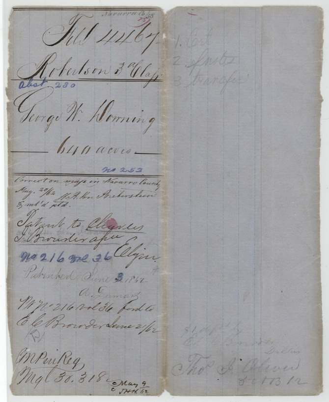
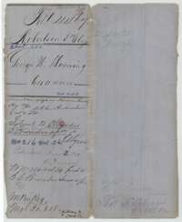 File jacketFile jacket for George W. Downing's 640 acres in Navarro County, Robertson 3rd Class, with the patent entry of 2 June 1862 to Charles J. Browder.General Land Office, file 4467, page 1 · in the scan
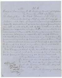 CertificateMercer's Colony certificate No. 253 for 640 acres, ordered for George W. Downing by the Hopkins County District Court, 31 October 1856.General Land Office, file 4467, page 2 · in the scan
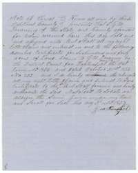 TransferAssignment of 3 August 1857 in which George W. Downing transfers certificate No. 253 to M. A. Scott and authorizes him to locate it.General Land Office, file 4467, page 3 · in the scan
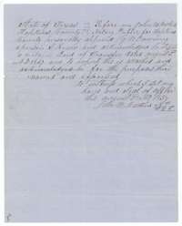 AffidavitNotary's certificate of 3 August 1857 at Hopkins County that George W. Downing acknowledged the transfer to M. A. Scott.General Land Office, file 4467, page 4 · in the scan
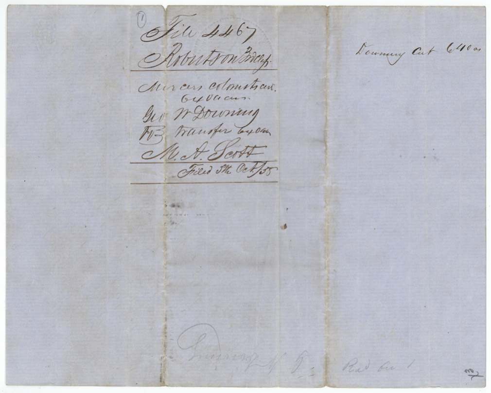
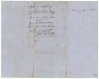 WrapperWrapper for the Downing to Scott transfer, marked File 4467, Robertson 3rd Class, Mercer's Colony certificate for 640 acres.General Land Office, file 4467, page 5 · in the scan
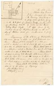 Field notesField notes and sketch of 640 acres on Richland Creek, Navarro County, surveyed for George W. Downing by deputy surveyor Milton Wright, 26 May 1858.General Land Office, file 4467, page 6 · in the scan
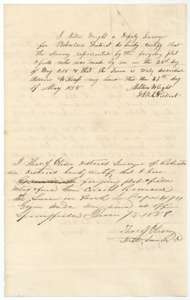 Surveyor's certificateDeputy surveyor Milton Wright's certificate of 27 May 1858 and district surveyor Thomas J. Oliver's examination, 7 June 1858, recording the survey in Book L, page 474.General Land Office, file 4467, page 7 · in the scan
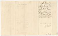 WrapperWrapper for the Downing field notes, filed 6 August 1858, with the map check and the signature of the later owner's agent.General Land Office, file 4467, page 8 · in the scan
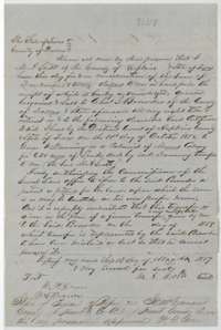 TransferDeed in which M. A. Scott sells the Downing certificate to Charles J. Browder of Dallas for $320, replacing an earlier lost transfer, May 1859.General Land Office, file 4467, page 9 · in the scan
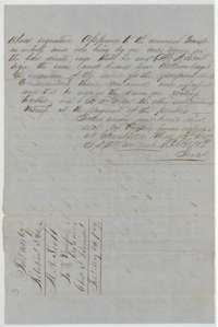 TransferProof of the Scott to Browder deed before the Hunt County clerk at Greenville, May 1859, with the filing docket of 30 May 1859.General Land Office, file 4467, page 10 · in the scan
Scans courtesy of the Texas General Land Office, Austin, from its Land Grant Database.
Neighbouring surveys
Sources
- Texas General Land Office, Land Grant Database: Navarro County, Abstract 230
- The Land Office file, scanned (PDF, at the General Land Office)
- 1924 map: courtesy of the Texas General Land Office, Austin, Map 73249, used under licence. Topo: U.S. Geological Survey, The National Map. Aerial photographs: U.S. Department of Agriculture, National Agriculture Imagery Program, 2012, 2018 and 2022. Survey outlines: Railroad Commission of Texas, Original Texas Land Survey. Grant records and files: Texas General Land Office.