Blackland TX · ← All the original surveys
William Weaver Survey, Abstract 869
- Granted to
- William Weaver
- Kind of grant
- Headright, third classLand for later settlers, including the colonists of Mercer’s Colony.
- Land Office file
- Robertson 3rd class, file 4982
- Certificate
- No. 6
- Acres
- 640
- Patented to
- James C. Walker
- Patent
- 18 Sep 1861 · No. 360, Vol. 34
Tap a survey to open its page.
What the file shows
At the Fall 1852 term of the Freestone County District Court, a jury found William Weaver, a married man and head of a family, entitled to 640 acres as a colonist of Mercer's Colony, and certificate No. 6 issued on 12 November 1852. In March 1854 Weaver sold the certificate to Jas. C. Walker of Freestone County for $128. County Surveyor J. M. Eliot surveyed it in May 1859 on the waters of Richland Creek, about 19 miles west-southwest of Corsicana, beginning at G. W. Downing's survey. After Walker refiled the papers, the land office patented the tract to him as assignee in September 1861.
The certificate
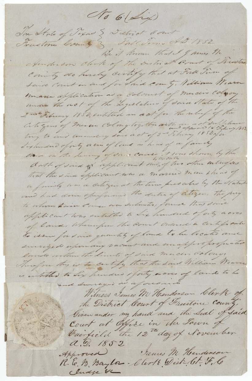
other (Mercer's Colony colonist certificate issued by district court; filed as Robertson 3rd class), No. 6, 640 acres, James M. Henderson, Clerk of the District Court of Freestone County; approved R. E. B. Baylor, Judge, Fairfield, Freestone County, 1852-11-12 (Fall Term 1852).
Application as a colonist of Mercer's Colony under the act of 2 February 1850 for the relief of the citizens of Mercer's Colony and the supplementary act approved 16 February 1852; shown by his own oath and that of two other witnesses that he was a married man and head of a family, a citizen at the time prescribed by statute, and had performed the duties of a citizen; the jury found him entitled to 640 acres
Changes of hand
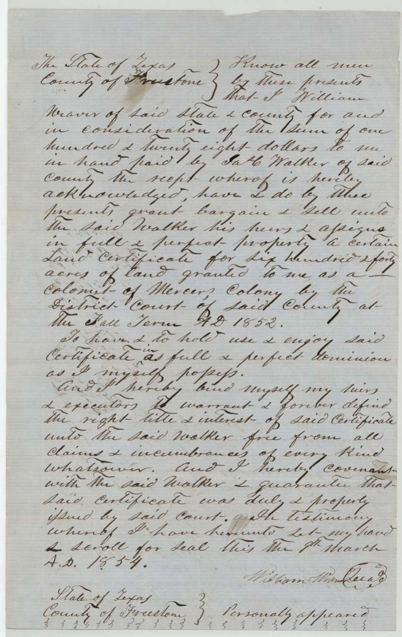
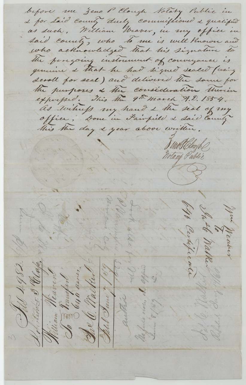
- 9 Mar 1854William Weaver of Freestone County → Jas. C. Walker of Freestone County, his heirs and assigns, $128, Fairfield, Freestone County. Warranty deed of the certificate, with Weaver guaranteeing it was duly issued by the court; signed with a scroll for seal. Filed in GLO June 7/59; endorsed 'No field notes in office June 8/59'; refiled by Jas. C. Walker Jan 14/60.
The survey
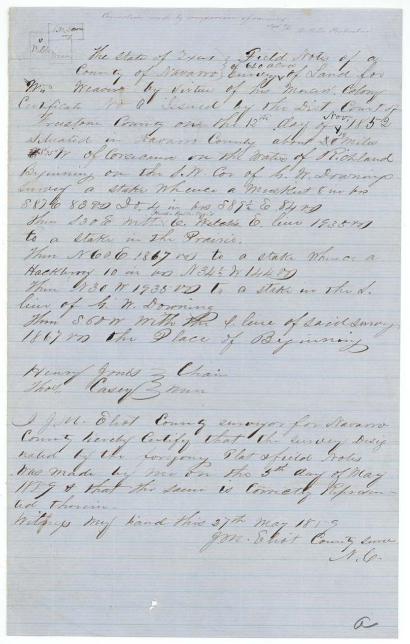
1859-05-05 (certified 1859-05-27), J. M. Eliot, County Surveyor of Navarro County.
Navarro County about 19 miles (first written 20) S 75 W(?) of Corsicana, on the waters of Richland [Creek]
Chain carriers: Henry Jones, Thos. Casey.
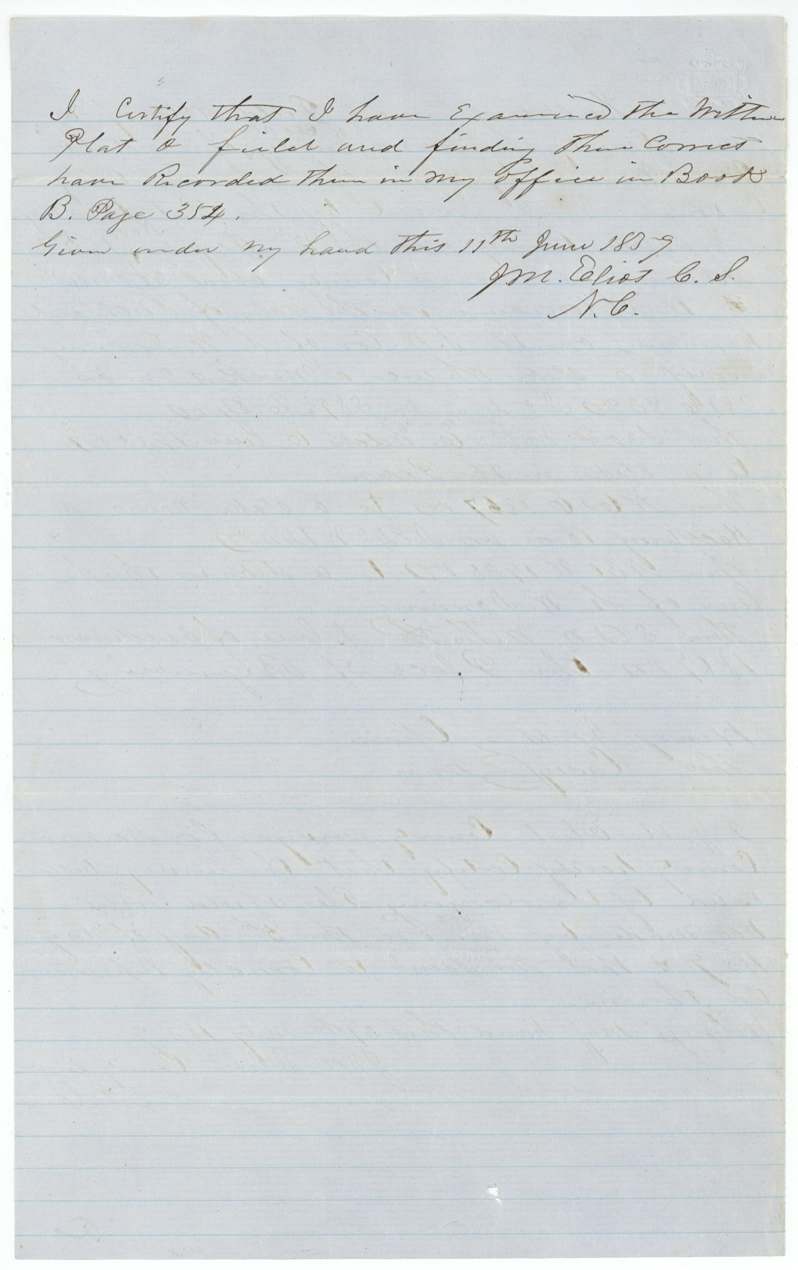
Book B, page 354
The patent
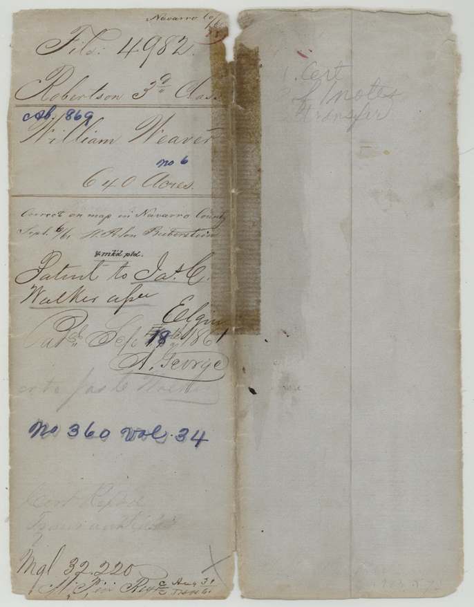
1861-09-17 (outer wrapper shows 17th overwritten as 18th), No. 360, Vol. 34, to Jas. C. Walker, assignee, delivered to faint note 'cert to Jas C Walker'(?).
Also in the file
- Weaver sold the certificate in March 1854 but it was not surveyed until May 1859, five years later.
- When the transfer reached the land office in June 1859 there were no field notes there yet; Walker refiled the papers in January 1860.
- The surveyor's distance and bearing from Corsicana were altered on the field notes (20 miles changed to 19).
- A married man and head of a family in Mercer's Colony was granted only 640 acres here, under the 1850/1852 relief acts for Mercer colonists.
Timeline
- 12 Nov 1852Freestone County District Court issues Mercer's Colony certificate No. 6 for 640 acres to William Weaver, a married man
- 9 Mar 1854Weaver sells the certificate to Jas. C. Walker for $128 at Fairfield
- 5 May 1859Surveyed by J. M. Eliot on Richland waters, about 19 miles WSW of Corsicana
- 7 Jun 1859Transfer filed in General Land Office
- 11 Jun 1859Field notes recorded, Book B p. 354
- 9 Dec 1859Certificate and field notes filed in GLO
- 14 Jan 1860Walker refiles the papers
- 6 Sep 1861Checked correct on Navarro County map
- 17 Sep 1861Patent No. 360 Vol. 34 to Jas. C. Walker, assignee
The papers in the file
Every page of the Land Office file, in the order the Land Office keeps them (10 pages). Tap a page to see it larger.
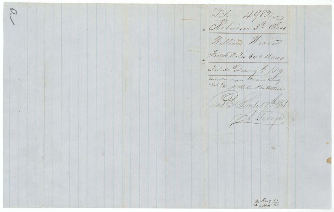
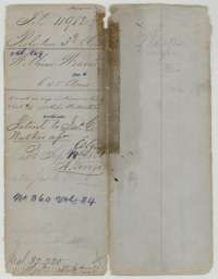 File jacketFile jacket for William Weaver's Mercer's Colony certificate, with the patent note of September 1861 to the assignee.General Land Office, file 4982, page 1 · in the scan
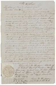 CertificateMercer's Colony certificate No. 6 of 12 November 1852, issued by the Freestone County district court entitling William Weaver to 640 acres.General Land Office, file 4982, page 2 · in the scan
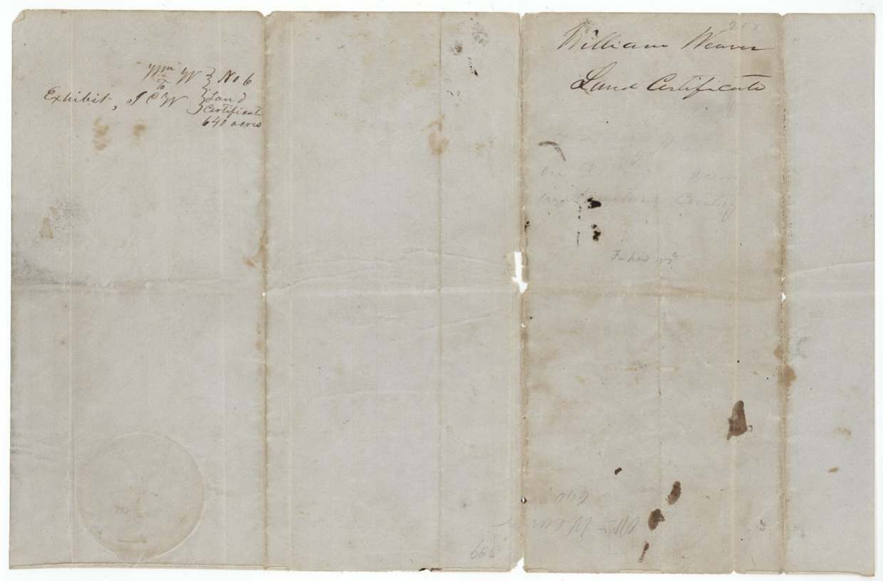
 Back of the certificateBack of the Weaver certificate, with the exhibit note and the court seal.General Land Office, file 4982, page 3 · in the scan
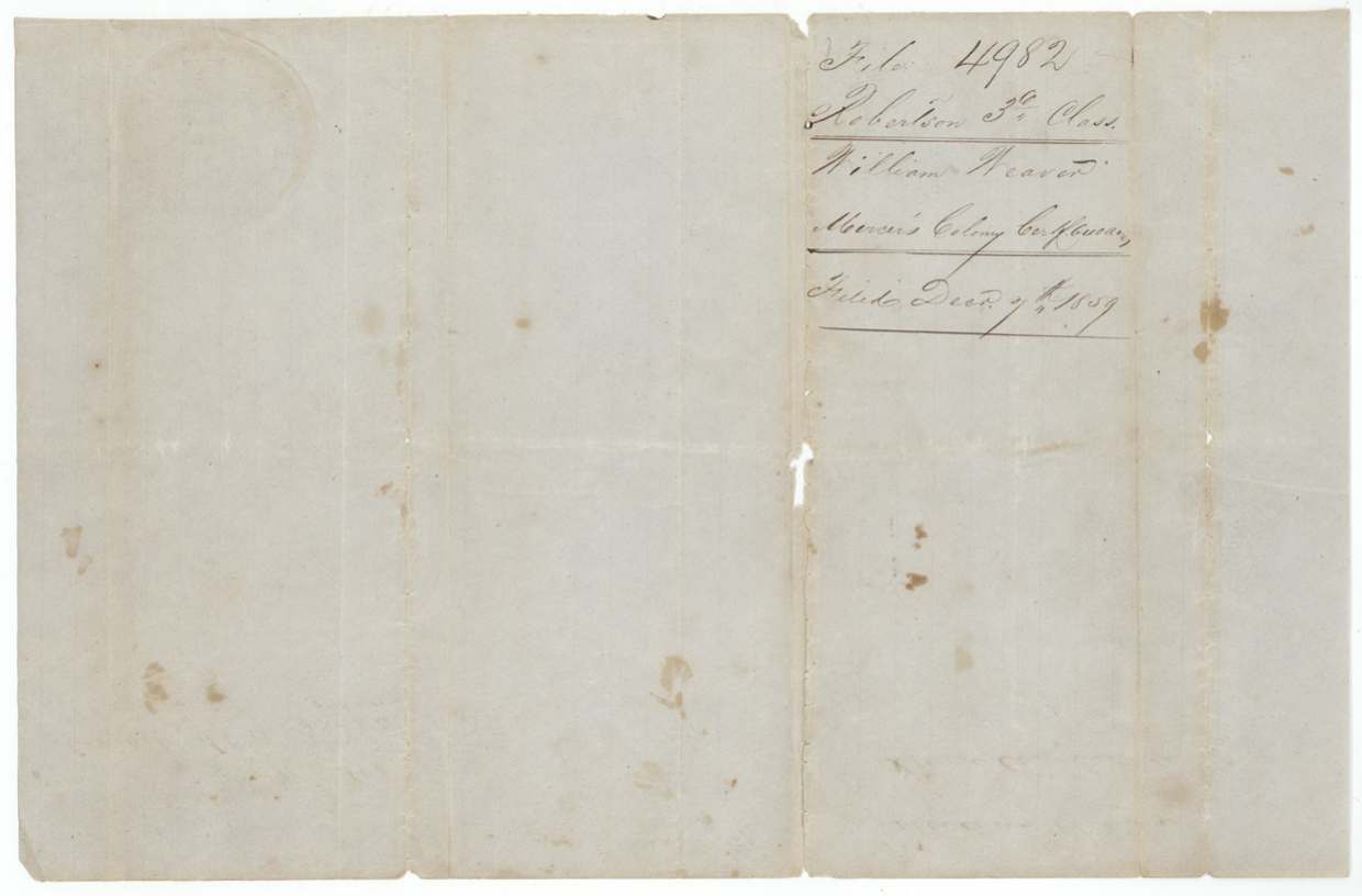
 WrapperFiling wrapper for the Mercer's Colony certificate of William Weaver, filed 9 December 1859.General Land Office, file 4982, page 4 · in the scan
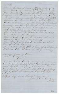 Field notesField notes of 640 acres on Richland Creek surveyed for William Weaver's certificate by county surveyor J. M. Eliot, 5 May 1859.General Land Office, file 4982, page 5 · in the scan
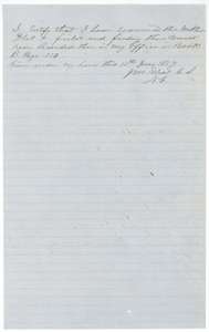 Surveyor's certificateCounty surveyor J. M. Eliot's certificate of 11 June 1859 that the Weaver field notes were examined and recorded in Book B.General Land Office, file 4982, page 6 · in the scan
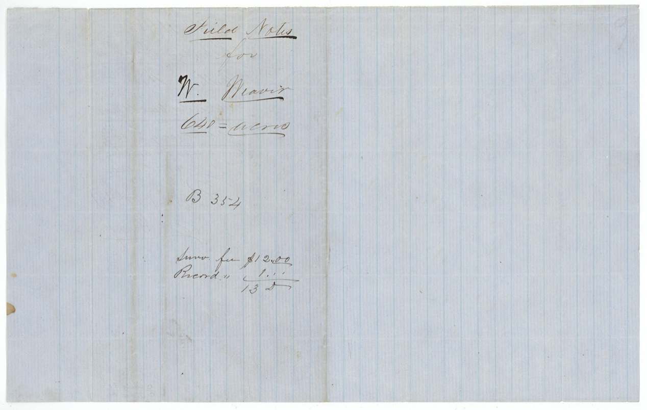
 WrapperWrapper for the Weaver field notes, with the survey and recording fees.General Land Office, file 4982, page 7 · in the scan
 WrapperFiling wrapper for the Weaver field notes, with the patent note of September 1861.General Land Office, file 4982, page 8 · in the scan
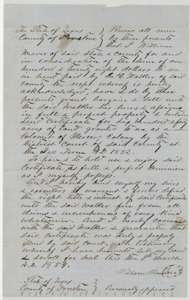 TransferDeed of 9 March 1854 in which William Weaver sold his Mercer's Colony certificate to James C. Walker for $128.General Land Office, file 4982, page 9 · in the scan
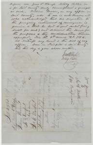 TransferEnd of the Weaver to Walker deed, with the notary's acknowledgment at Fairfield and the Land Office filing notes.General Land Office, file 4982, page 10 · in the scan
Scans courtesy of the Texas General Land Office, Austin, from its Land Grant Database.
Neighbouring surveys
Sources
- Texas General Land Office, Land Grant Database: Navarro County, Abstract 869
- The Land Office file, scanned (PDF, at the General Land Office)
- 1924 map: courtesy of the Texas General Land Office, Austin, Map 73249, used under licence. Topo: U.S. Geological Survey, The National Map. Aerial photographs: U.S. Department of Agriculture, National Agriculture Imagery Program, 2012, 2018 and 2022. Survey outlines: Railroad Commission of Texas, Original Texas Land Survey. Grant records and files: Texas General Land Office.