Blackland TX · ← All the original surveys
John Beauchamp Survey, Abstract 52
- Granted to
- John Beauchamp
- Kind of grant
- Headright, first classLand for settlers who were in Texas before independence, 2 March 1836.
- Land Office file
- Robertson 1st class, file 1003
- Certificate
- No. 216 6/223
- Acres
- 29.52
- Patented to
- John Beauchamp
- Patent
- 12 Jul 1861 · No. 414, Vol. 16
Tap a survey to open its page.
What the file shows
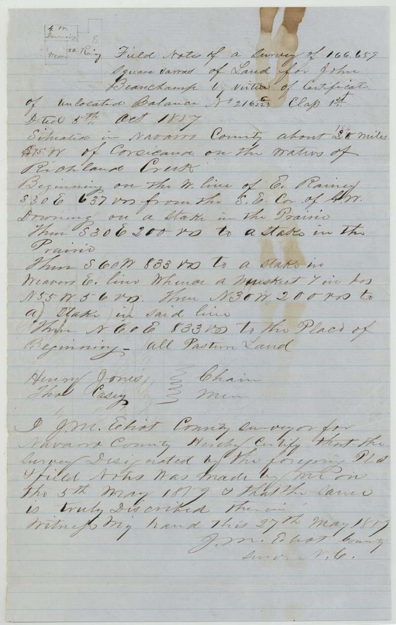
John Beauchamp received a first-class headright for a league and labor from the Washington County Board on 1 February 1838, and most of it was patented elsewhere (file Rob. 1-617). On 5 October 1857 the Commissioner of Claims issued certificate No. 216 for the unlocated balance of 166,659 square varas. The Navarro County Surveyor laid it out on 5 May 1859 as a narrow strip on the waters of Richland Creek, roughly 18-20 miles southwest of Corsicana, between the E. Rainey and Weaver surveys, with Henry Jones and Thos. Casey carrying chain. It was recorded in Book B p. 353 and patented to Beauchamp on 12 July 1861 (No. 414, Vol. 16).
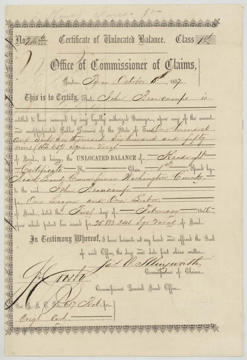
The certificate
headright 1st class — Certificate of Unlocated Balance, No. 216 (with fraction, read 6/223(?) — 'No. 216 6/223'), 166,659 square varas (about 29.5 acres), the unlocated balance of a league and labor, Jas. O. Illingworth, Commissioner of Claims (also signed J. Crosby, Commissioner General Land Office); original headright issued by the Board of Land Commissioners, Washington County, Austin (balance certificate); Washington County (original headright), Balance certificate 1857-10-05; original headright certificate dated 1838-02-01.
Unlocated balance of John Beaucamp's 1st-class headright for one league and one labor; patents had already issued for 25,833,341 sq. varas, leaving this remnant
The survey
1859-05-05 (certified 1859-05-27), J. M. Elliot(?), County Surveyor, Navarro County.
Navarro County, about 20 (altered in red to 18½(?)) miles S 75 W(?) of Corsicana, on the waters of Richland Creek; all pasture land
Chain carriers: Henry Jones, Thos. Casey.
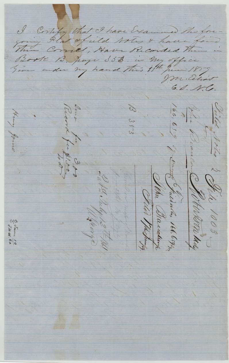
Book B, page 353
The patent
12 Jul 1861, No. 414, Vol. 16, to the original grantee (John Beauchamp).
Also in the file
- This is a leftover scrap: Beauchamp's 1838 league-and-labor headright had already been patented elsewhere, and this 29-acre remnant was the last piece, surveyed as a narrow 200-by-833-vara strip squeezed between the Rainey and Weaver surveys.
- The patent was issued on 12 July 1861 — after Texas had seceded, so it is a Confederate-era Texas patent.
- The name is spelled 'Beaucamp' on the certificate but 'Beauchamp' in the field notes.
Timeline
- 1 Feb 1838Washington County Board issues John Beauchamp's 1st-class league-and-labor headright
- 5 Oct 1857Commissioner of Claims issues certificate No. 216 for the 166,659 sq. vara unlocated balance
- 5 May 1859Navarro County Surveyor surveys the balance on Richland Creek waters
- 11 Jun 1859Field notes recorded, Book B p. 353
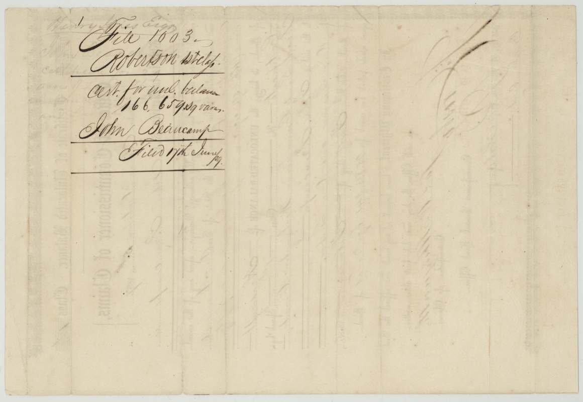
- 17 Jun 1859Certificate and field notes filed in GLO
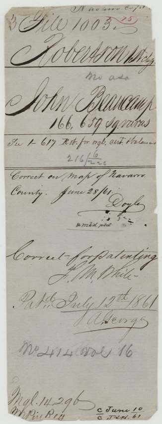
- 28 Jun 1861Checked correct on map of Navarro County (Doyle)
- 12 Jul 1861Patent No. 414 Vol. 16 issued to John Beauchamp
The papers in the file
Every page of the Land Office file, in the order the Land Office keeps them (6 pages). Tap a page to see it larger.
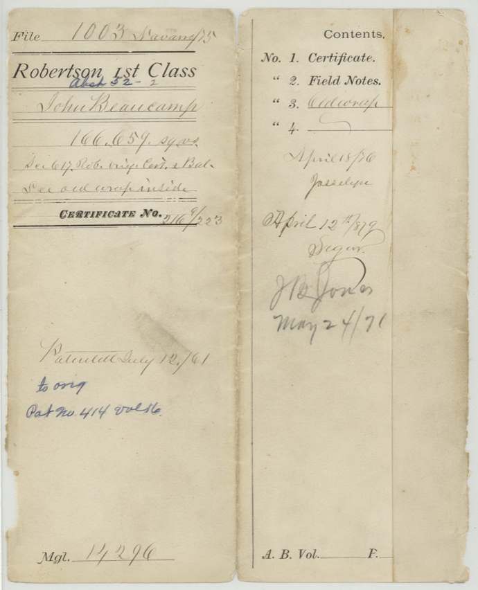
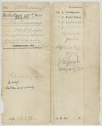 WrapperOuter wrapper for John Beauchamp's file of 166,659 square varas, listing its papers, with the patent entry of 12 July 1861.General Land Office, file 1003, page 1 · in the scan
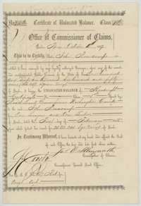 CertificateCertificate of unlocated balance No. 216 for 166,659 square varas, issued at Austin on 5 October 1857 to John Beauchamp from his league and labor headright.General Land Office, file 1003, page 2 · in the scan
 Back of the certificateJacket and back of the certificate of unlocated balance, marked filed 17 June 1859.General Land Office, file 1003, page 3 · in the scan
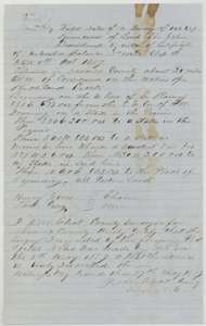 Field notesField notes for 166,659 square varas on the waters of Richland Creek, surveyed for John Beauchamp by county surveyor J. M. Eliot on 5 May 1859.General Land Office, file 1003, page 4 · in the scan
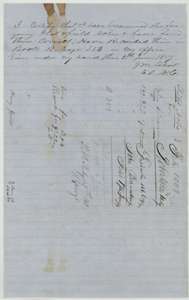 Surveyor's certificateCounty surveyor's certificate of 11 June 1859 that the field notes were examined and recorded in Book B, page 353, with a docket.General Land Office, file 1003, page 5 · in the scan
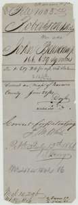 File jacketOlder wrapper for John Beauchamp's survey, with a map check and the patent entry of 12 July 1861.General Land Office, file 1003, page 6 · in the scan
Scans courtesy of the Texas General Land Office, Austin, from its Land Grant Database.
Neighbouring surveys
Sources
- Texas General Land Office, Land Grant Database: Navarro County, Abstract 52
- The Land Office file, scanned (PDF, at the General Land Office)
- 1924 map: courtesy of the Texas General Land Office, Austin, Map 73249, used under licence. Topo: U.S. Geological Survey, The National Map. Aerial photographs: U.S. Department of Agriculture, National Agriculture Imagery Program, 2012, 2018 and 2022. Survey outlines: Railroad Commission of Texas, Original Texas Land Survey. Grant records and files: Texas General Land Office.