Blackland TX · ← All the original surveys
Edwardo Ramirez Survey, Abstract 717
- Granted to
- Edwardo Ramirez
- Kind of grant
- Bounty warrantLand paid for service in the army of the Republic.
- Land Office file
- Robertson Bounty, file 934
- Certificate
- No. 2892
- Acres
- 1280
- Patented to
- W. E. Howth
- Patent
- 26 Nov 1861 · No. 134, Vol. 11
Tap a survey to open its page.
What the file shows
Edwardo Ramirez served fifteen months in the Texas army, November 1836 to February 1838, and on 14 April 1838 Secretary of War Barnard Bee issued him bounty warrant No. 2892 for 1280 acres at Houston. The warrant passed to W. E. Howth, whose name is written in as assignee on the warrant itself. In December 1858 Navarro County Surveyor J. M. Eliot located it on the waters of Richland Creek about 17–18 miles southwest of Corsicana, recording it in Book B, page 349. After a further sketch and map check in late 1861, the GLO issued Patent No. 134, Vol. 11 to Howth as assignee on 26 November 1861.
The certificate
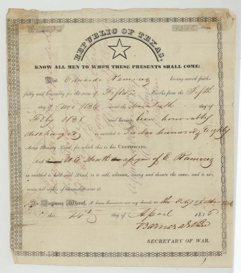
bounty, No. 2892, 1280 acres, Barnard Bee, Secretary of War, Republic of Texas, City of Houston, 14 Apr 1838.
Edwardo Ramirez served faithfully and honorably for fifteen months, from 5 November 1836 until the twentieth(?) day of February 1838, and was honorably discharged
Changes of hand
- not stated (assignment noted on the face of the 1838 warrant)Edwardo Ramirez → W. E. Howth. No separate deed of transfer in the file; Howth's name is written into the assignee line of the warrant itself and on its back ('assigned to W. E. Howth').
The survey
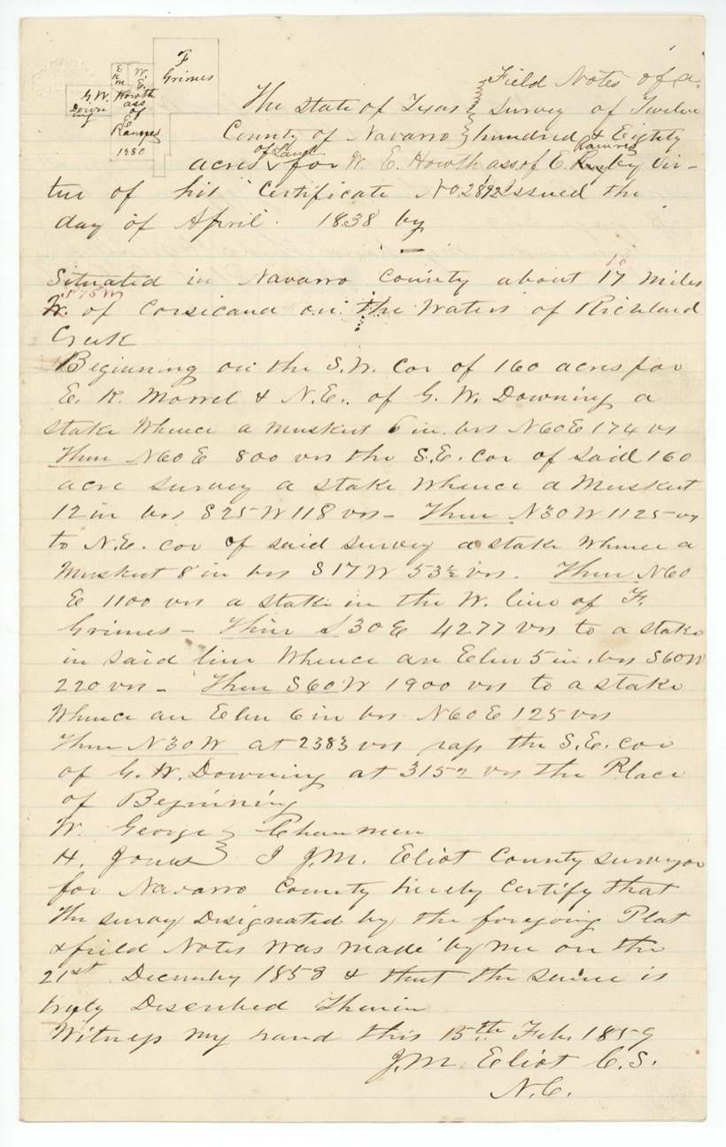
1858-12-21 (certified Feb 15, 1859), J. M. Eliot, County Surveyor, Navarro County.
Navarro County, about 17 (corrected in red to 18) miles S 75 W(?) of Corsicana, on the waters of Richland Creek
Chain carriers: W. George, H. Jones.
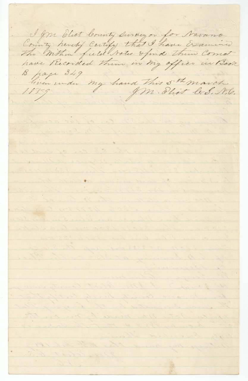
Book B, page 349 (Navarro County)
The patent
1861-11-26 (field-note wrapper and old wrap read 'November 25/61' and 'Nov 26/61'), No. 134, Vol. 11, to W. E. Howth, assignee, delivered to not stated.
Also in the file
- A warrant earned for Texas Army service in 1836–38 waited twenty years before it was laid on Navarro County land, and twenty-three before it was patented.
- The original warrant already names W. E. Howth as assignee in the printed blank, so the sale from Ramirez to Howth is recorded only on the warrant itself — there is no separate deed in the file.
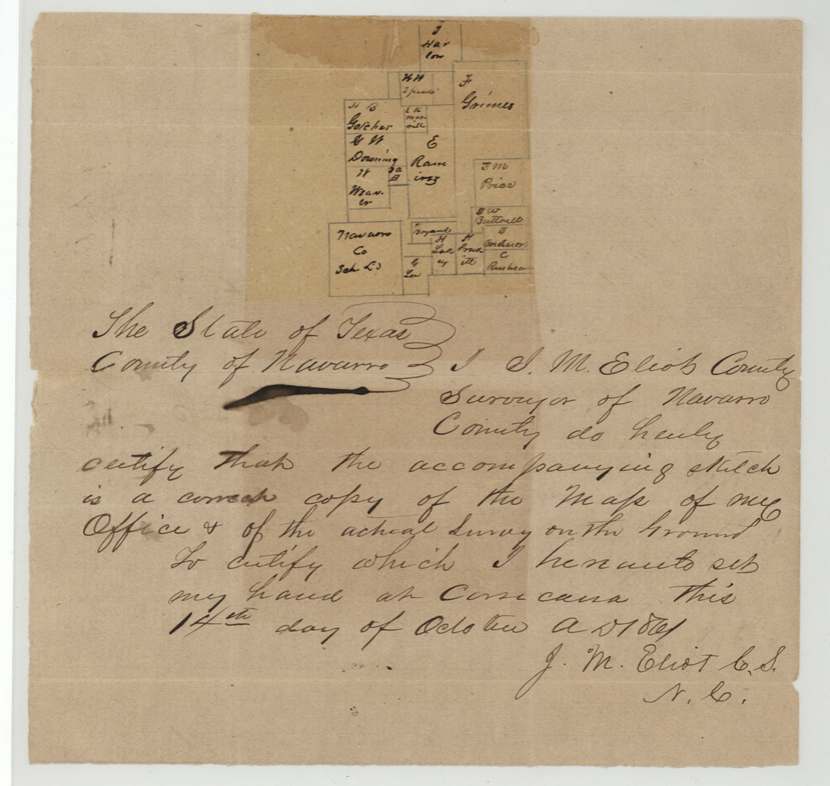
- The surveyor had to send a further sketch and certificate in October 1861, apparently to satisfy the Land Office's map check before patent.
Timeline
- 5 Nov 1836Edwardo Ramirez's 15 months of service begin
- 20 Feb 1838Service ends with honorable discharge (day reading uncertain)
- 14 Apr 1838Bounty warrant No. 2892 for 1280 acres issued at Houston by Barnard Bee, Secretary of War
- 15 Aug 1858Warrant filed (locally) by Neblett, Corsicana
- 21 Dec 1858Survey on the waters of Richland Creek by J. M. Eliot
- 5 Mar 1859Recorded Navarro County Book B p. 349
- 8 Nov 1859Field notes filed in the GLO
- 14 Oct 1861Eliot certifies sketch at Corsicana
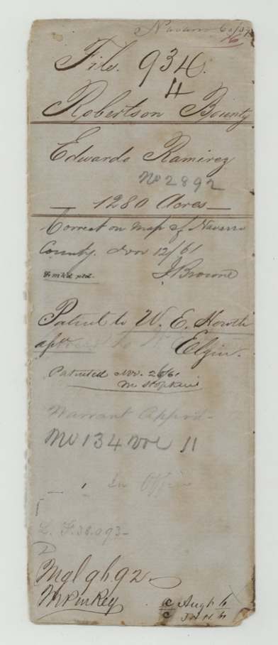
- 12 Nov 1861Found correct on Navarro County map
- 26 Nov 1861Patent No. 134 Vol. 11 to W. E. Howth
The papers in the file
Every page of the Land Office file, in the order the Land Office keeps them (10 pages). Tap a page to see it larger.
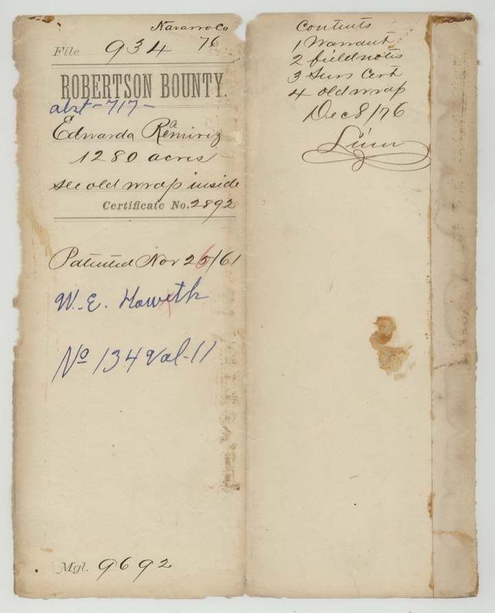
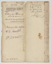 File jacketFile jacket for the Robertson Bounty file of Edwardo Ramirez, 1,280 acres, certificate No. 2892, patented 26 November 1861 to W. E. Howth.General Land Office, file 934, page 1 · in the scan
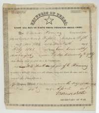 CertificateRepublic of Texas bounty warrant No. 2892 for 1,280 acres, issued at Houston on 14 April 1838 by Secretary of War Barnard Bee to Edwardo Ramirez.General Land Office, file 934, page 2 · in the scan
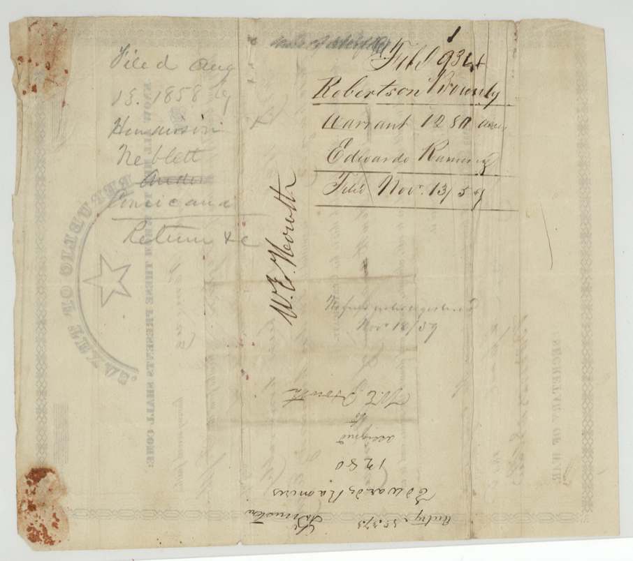
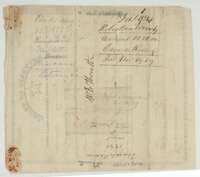 Back of the certificateBack of the bounty warrant, with filing notes and the assignment of the warrant to W. E. Howth.General Land Office, file 934, page 3 · in the scan
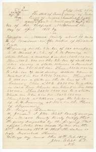 Field notesField notes for 1,280 acres on Richland Creek waters, surveyed for W. E. Howth, assignee of Edwardo Ramirez, by County Surveyor J. M. Eliot, certified 15 February 1859.General Land Office, file 934, page 4 · in the scan
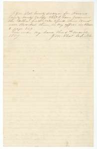 Surveyor's certificateCertificate of County Surveyor J. M. Eliot, 5 March 1859, that he examined the field notes and recorded them in Book B, page 349.General Land Office, file 934, page 5 · in the scan
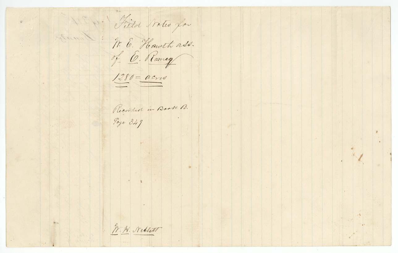
 WrapperWrapper for the field notes of the 1,280-acre survey for W. E. Howth, assignee of Edwardo Ramirez, recorded in Book B, page 349.General Land Office, file 934, page 6 · in the scan
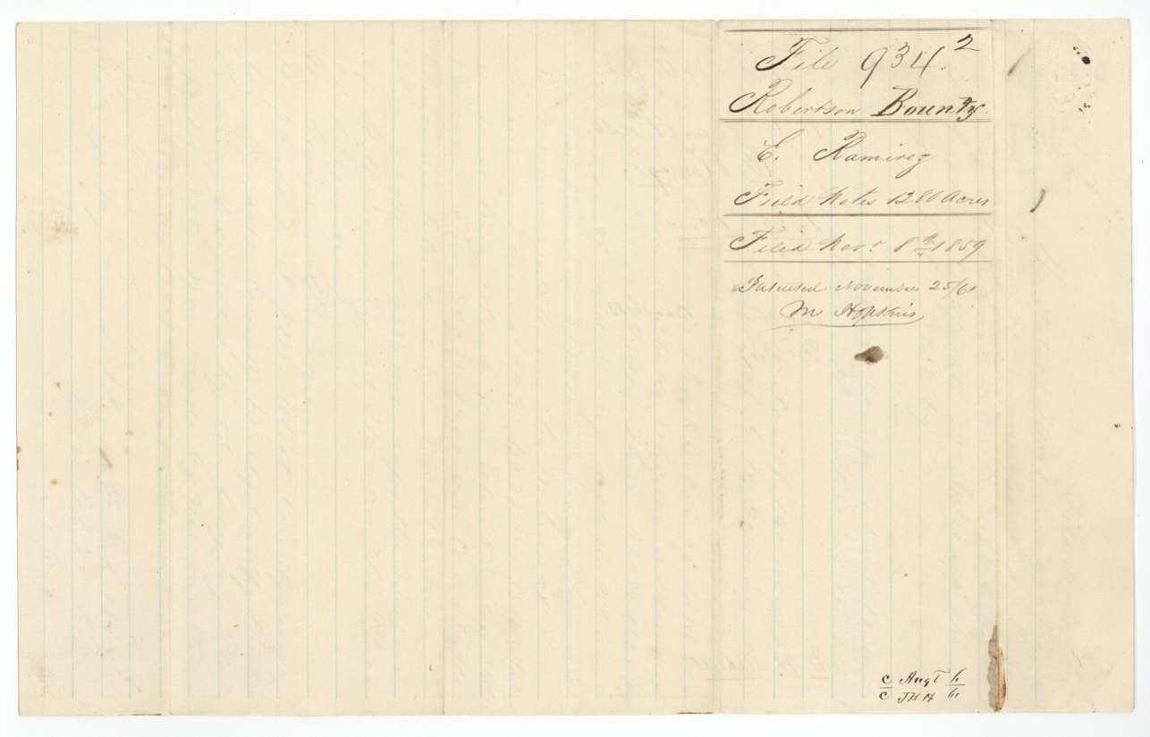
 File jacketJacket for the field notes of Edwardo Ramirez, 1,280 acres, marked patented 26 November 1861.General Land Office, file 934, page 7 · in the scan
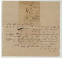 Surveyor's certificateCertificate of County Surveyor J. M. Eliot, Corsicana, 14 October 1861, with a sketch of the survey and its neighbours copied from his office map.General Land Office, file 934, page 8 · in the scan
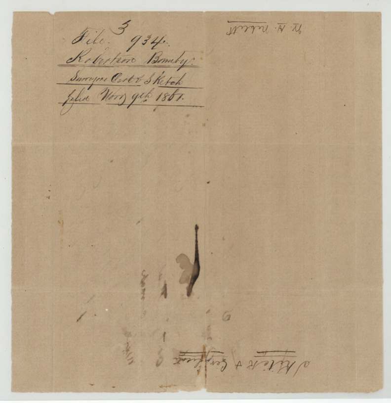
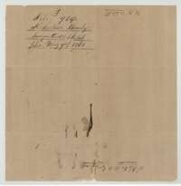 File jacketJacket for the survey sketch in the Ramirez file, filed 9 November 1861.General Land Office, file 934, page 9 · in the scan
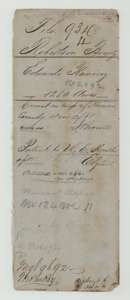 WrapperOld wrapper for the Ramirez file, marked correct on the Navarro County map and patented to W. E. Howth, No. 134, Volume 11.General Land Office, file 934, page 10 · in the scan
Scans courtesy of the Texas General Land Office, Austin, from its Land Grant Database.
Neighbouring surveys
Sources
- Texas General Land Office, Land Grant Database: Navarro County, Abstract 717
- The Land Office file, scanned (PDF, at the General Land Office)
- 1924 map: courtesy of the Texas General Land Office, Austin, Map 73249, used under licence. Topo: U.S. Geological Survey, The National Map. Aerial photographs: U.S. Department of Agriculture, National Agriculture Imagery Program, 2012, 2018 and 2022. Survey outlines: Railroad Commission of Texas, Original Texas Land Survey. Grant records and files: Texas General Land Office.