Blackland TX · ← All the original surveys
William R. Bowen Survey, Abstract 72
- Granted to
- William R. Bowen
- Kind of grant
- Headright, first classLand for settlers who were in Texas before independence, 2 March 1836.
- Land Office file
- Robertson 1st class, file 1216
- Certificate
- No. 15/376
- Acres
- 231
- Patented to
- Jacob Eliot
- Patent
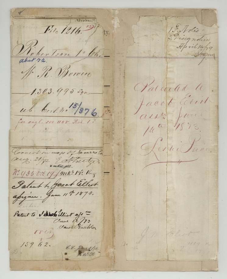
- 16 Jun 1873 · No. 435, Vol. 19
Tap a survey to open its page.
What the file shows
William R. Bowen held a first-class headright league whose first patent was cancelled for conflict; in 1868 the GLO issued an unlocated balance certificate for what remained. Bowen passed the league to his son John H. Bowen, who sold the unsold balance to Jacob Eliot. J. M. Eliot applied in 1871 and Navarro County surveyor John W. Irwin surveyed 231 acres on the waters of Richland Creek, about 19 miles west-southwest of Corsicana, in February 1872. The patent issued to Jacob Eliot as assignee in June 1873, after a GLO memo noted an earlier Eliot patent from the same league had been issued in error.
The certificate
headright 1st class (unlocated balance certificate), No. Unlocated balance certificate No. 15/376; original headright certificate No. 149, 1st class, Balance certificate for 17,361,561 sq. varas; this survey uses 1,303,995 sq. varas (231 acres), Joseph Spence, Commissioner of the General Land Office, Austin (GLO), 22 Feb 1868.
Remaining unlocated part of William R. Bowen's first-class headright (league). The original certificate is filed elsewhere ('for orgl. see 1108 Rob. 1'); 'cert. in G.L.O.'
Changes of hand
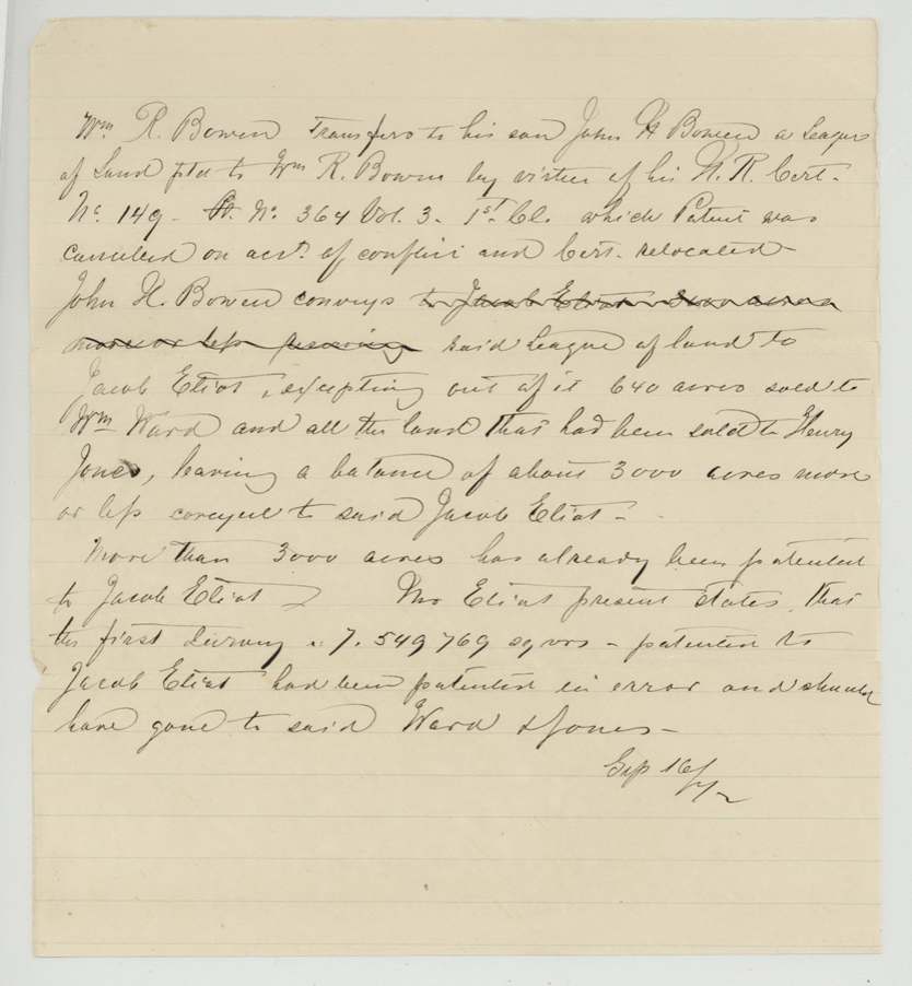
- not statedWilliam R. Bowen → John H. Bowen (his son). Summarised in a GLO memo of Sep 16, 1872: Bowen transferred his league (headright cert. No. 149) to his son.
- not statedJohn H. Bowen → Jacob Eliot. Per the same memo: conveyed the league except 640 acres already sold to Wm. Ward and all land sold to Henry Jones, leaving a balance of about 3,000 acres to Eliot. The deeds themselves are not in this file.
The survey
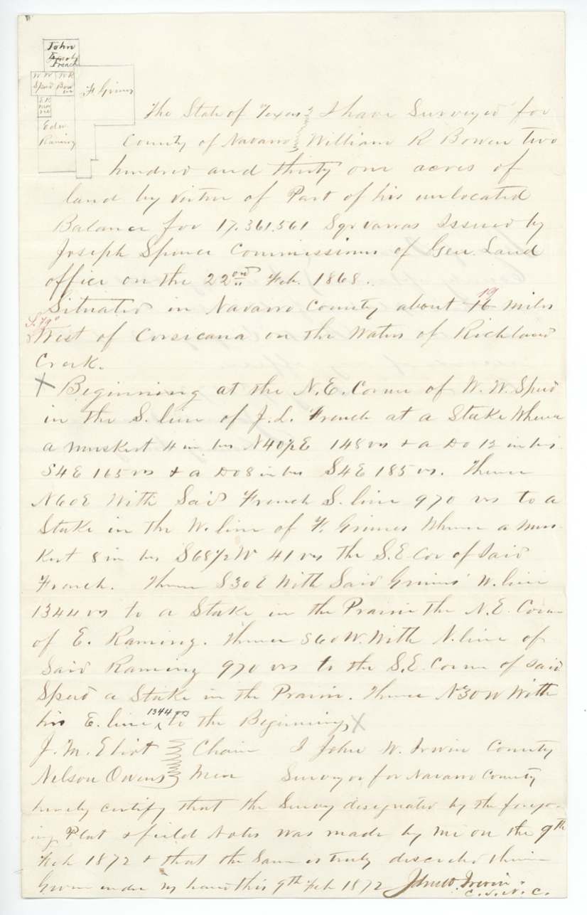
9 Feb 1872, John W. Irwin, County Surveyor, Navarro County.
Navarro County, about 19 miles (16 corrected to 19) S 79 W of Corsicana, on the waters of Richland Creek
Chain carriers: J. M. Eliot, Nelson Owens.
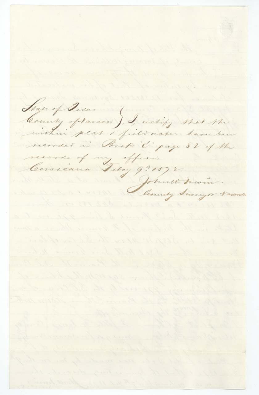
Book 'C', page 82, Navarro County surveyor's records (certified Corsicana, Feb 9, 1872)
The patent
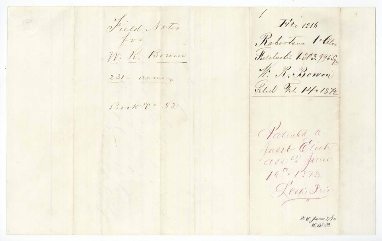
June 1873 (wrapper 'June 11th 1873' and 'June 12/73'; red ink 'June 14th(?)' and 'June 16th(?) 1873'), No. 435, Vol. 19, to Jacob Eliot, assignee, delivered to not stated.
Also in the file
- Bowen's original league was patented, then the patent was cancelled because it conflicted with another claim, and the certificate had to be relocated — this 231 acres is a late leftover of that.
- A GLO memo records Eliot saying that an earlier survey of 7,549,769 square varas had been patented to him by mistake and should have gone to Wm. Ward and Henry Jones, who had bought parts of the league.
- More than 3,000 acres had already been patented to Jacob Eliot from this headright, yet the deed chain gave him only about 3,000 — the reason for the memo.
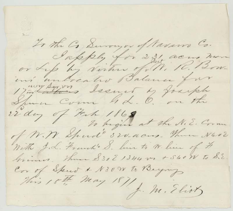
- J. M. Eliot filed the application and carried the chain on the survey that patented to Jacob Eliot.
- The patent date is written four different ways in June 1873 (11th, 12th, 14th?, 16th?).
Timeline
- 22 Feb 1868GLO Commissioner Joseph Spence issues unlocated balance certificate for 17,361,561 sq. varas
- 15 May 1871J. M. Eliot applies to Navarro County surveyor for 231 acres
- 9 Feb 1872John W. Irwin surveys 231 acres on Richland Creek waters; recorded Book C p. 82
- 14 Feb 1872Field notes filed in GLO
- 21 Aug 1872Checked correct on Navarro maps
- 16 Sep 1872GLO memo on the Bowen-Eliot chain and the mistaken earlier patent
- 11 Jun 1873Patent No. 435 Vol. 19 to Jacob Eliot, assignee
The papers in the file
Every page of the Land Office file, in the order the Land Office keeps them (8 pages). Tap a page to see it larger.
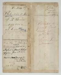 File jacketFile jacket for William R. Bowen's headright balance, 231 acres in Navarro County, patented to Jacob Eliot, assignee, in June 1873.General Land Office, file 1216, page 1 · in the scan
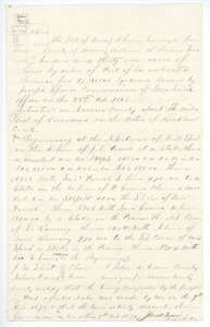 Field notesField notes and plat for 231 acres on the waters of Richland Creek for William R. Bowen, surveyed by Navarro County surveyor John W. Irwin, 9 February 1872.General Land Office, file 1216, page 2 · in the scan
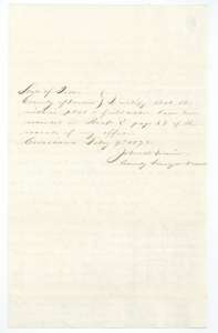 Surveyor's certificateCertificate of county surveyor John W. Irwin, Corsicana, 9 February 1872, that the Bowen plat and field notes are recorded in Book C, page 82.General Land Office, file 1216, page 3 · in the scan
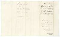 WrapperDocket wrapper for the 231-acre field notes for William R. Bowen, filed 14 February 1872, with the note of the patent to Jacob Eliot.General Land Office, file 1216, page 4 · in the scan
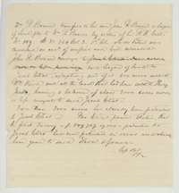 Other papersLand Office memo of 16 September 1872 tracing Bowen's league from William R. Bowen to his son John H. Bowen and then to Jacob Eliot.General Land Office, file 1216, page 5 · in the scan
 WrapperFile wrapper for the William R. Bowen headright, Robertson 1st Class, with a faint filing note.General Land Office, file 1216, page 6 · in the scan
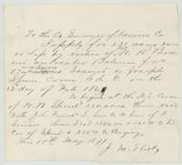 Other papersApplication of 15 May 1871 by J. M. Eliot to the Navarro County surveyor to locate 231 acres under William R. Bowen's unlocated balance certificate.General Land Office, file 1216, page 7 · in the scan
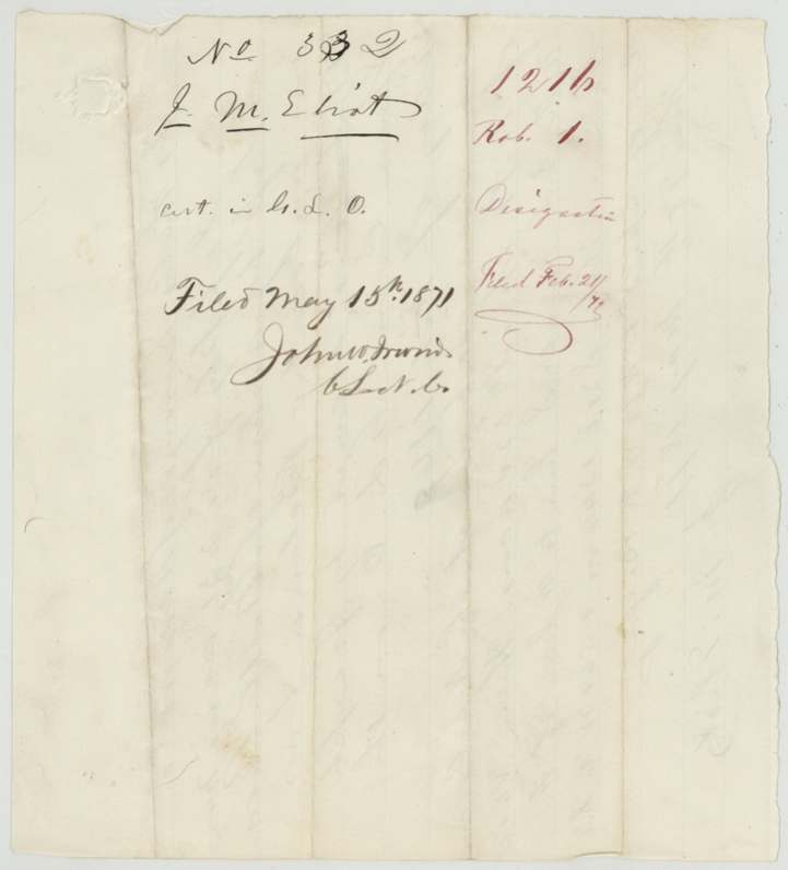
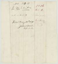 WrapperDocket wrapper for the application to survey the Bowen balance certificate, filed 15 May 1871.General Land Office, file 1216, page 8 · in the scan
Scans courtesy of the Texas General Land Office, Austin, from its Land Grant Database.
Neighbouring surveys
Sources
- Texas General Land Office, Land Grant Database: Navarro County, Abstract 72
- The Land Office file, scanned (PDF, at the General Land Office)
- 1924 map: courtesy of the Texas General Land Office, Austin, Map 73249, used under licence. Topo: U.S. Geological Survey, The National Map. Aerial photographs: U.S. Department of Agriculture, National Agriculture Imagery Program, 2012, 2018 and 2022. Survey outlines: Railroad Commission of Texas, Original Texas Land Survey. Grant records and files: Texas General Land Office.