Blackland TX · ← All the original surveys
Ellis K. Morrell Survey, Abstract 566
- Granted to
- Ellis K. Morrell
- Kind of grant
- Headright, third classLand for later settlers, including the colonists of Mercer’s Colony.
- Land Office file
- Robertson 3rd class, file 4443
- Certificate
- No. 0/42
- Acres
- 160
- Patented to
- Heirs of Ellis K. Morrell
- Patent
- 10 Dec 1862 · No. 485, Vol. 36
Tap a survey to open its page.
What the file shows
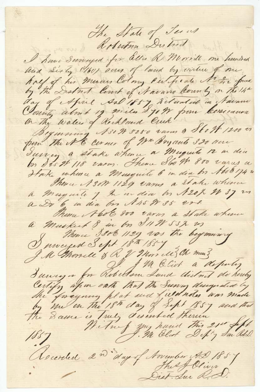
Ellis K. Morrell received a Mercer's Colony certificate (No. 4/2) from the Navarro County District Court in April 1857, and in September 1857 Deputy Surveyor J. M. Eliot laid off half of it, 160 acres, on the waters of Richland Creek about 19 miles southwest of Corsicana, with two Morrells carrying chain. The field notes were recorded in Book L and a certified copy was filed with the Land Office in 1858. In 1859 R. V. Morrell, through Robert Morrell, applied to relocate the land, and new field notes were filed in 1860. Ellis K. Morrell had died by December 9, 1862, when the patent issued to his heirs.
The certificate
other (Mercer's Colony certificate; GLO classes it Robertson 3rd), No. No. 4/2 (written as a fraction; wrapper 'No 42'), 320 implied (this survey is 'one half' of it, 160 acres), District Court of Navarro County, Navarro County, 14 Apr 1857.
not stated — the certificate itself is not in this file; wrapper says 'See 3-3498 Rob. for cert.'
The survey
1857-09-18 (certified on oath 1857-09-21), J. M. Eliot (Elliot), Deputy Surveyor, Robertson Land District.
Navarro County, about 19 miles (later copy: 18½) S 70 W (later copy: S 76 W) from Corsicana, on the waters of Richland Creek
Chain carriers: J. M. Morrell, R. V. Morrell.
Book L, page 425 (recorded 2 Nov 1857)
The patent
9 Dec 1862, No. 485 Vol. 36, to the heirs of Ellis K. Morrell, deceased.
Also in the file
- Ellis K. Morrell's middle initial is written 'R.' in both sets of field notes, though the wrapper and patent use 'K.'
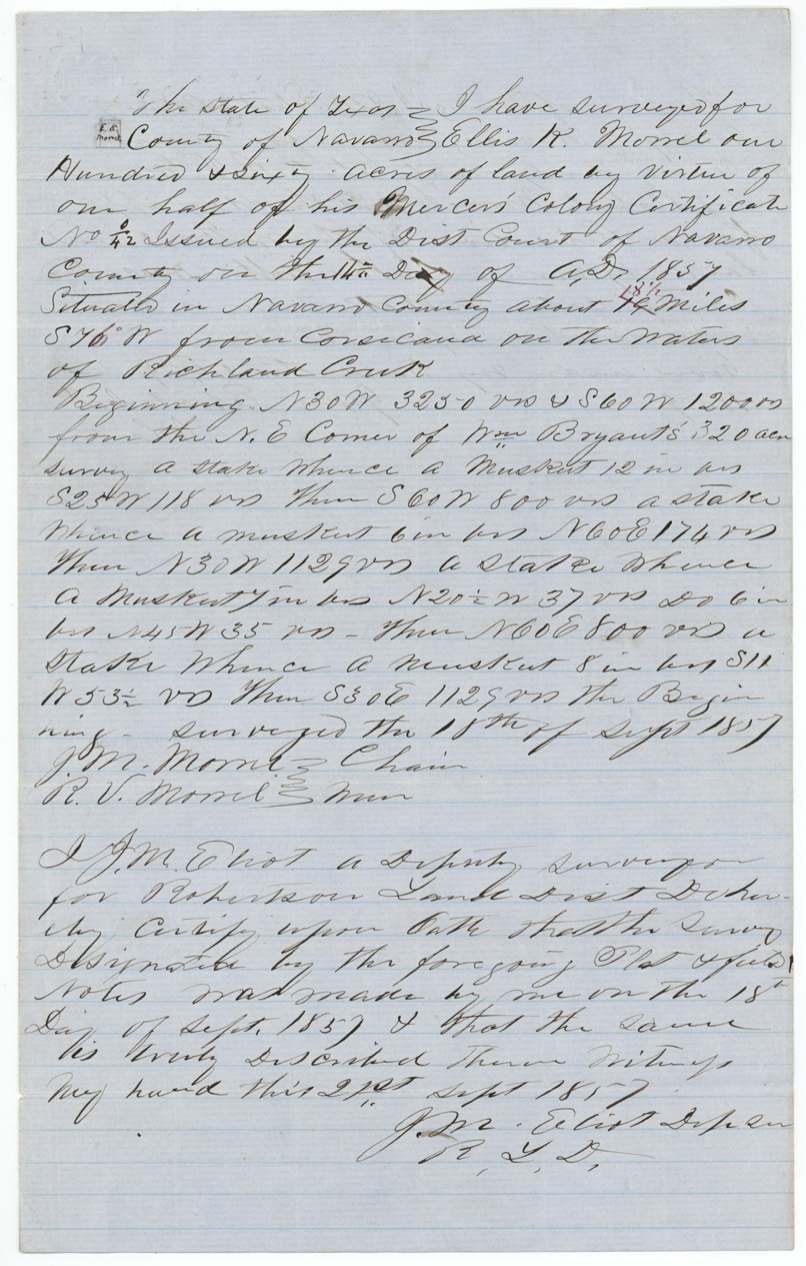
- The two sets of field notes give slightly different distances from Corsicana (19 vs 18½ miles) and bearings (S 70 W vs S 76 W) for the same survey.
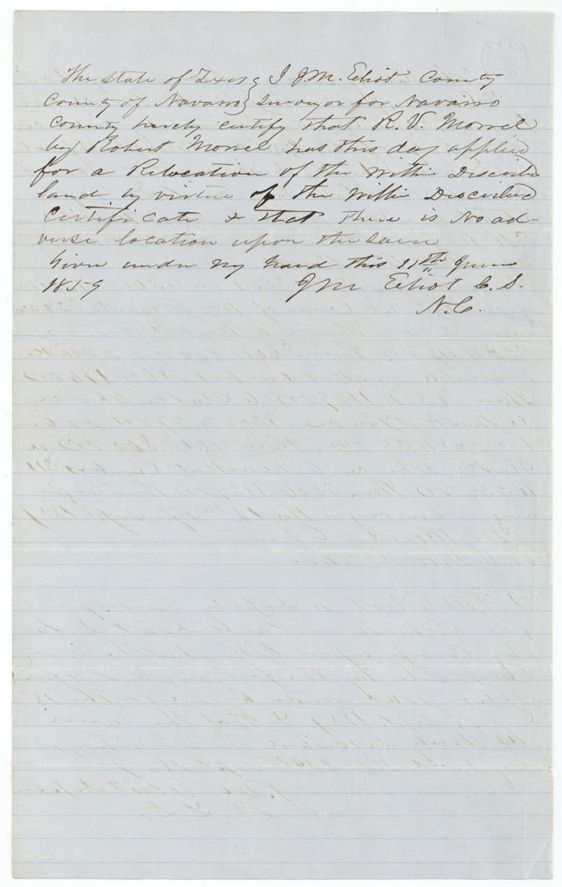
- In 1859 R. V. Morrell, acting through Robert Morrell, applied to relocate the land on the same certificate — the county surveyor certified no one else had claimed it.
- Ellis K. Morrell had died by the time of the patent in December 1862, so it issued to his heirs.
- Both chain carriers were Morrells, so this was a family survey.
Timeline
- 14 Apr 1857Navarro District Court issues Mercer's Colony certificate No. 4/2 to Ellis K. Morrell
- 18 Sep 1857J. M. Eliot surveys 160 acres on Richland Creek waters, Morrells carrying chain
- 2 Nov 1857Field notes recorded, Book L p. 425
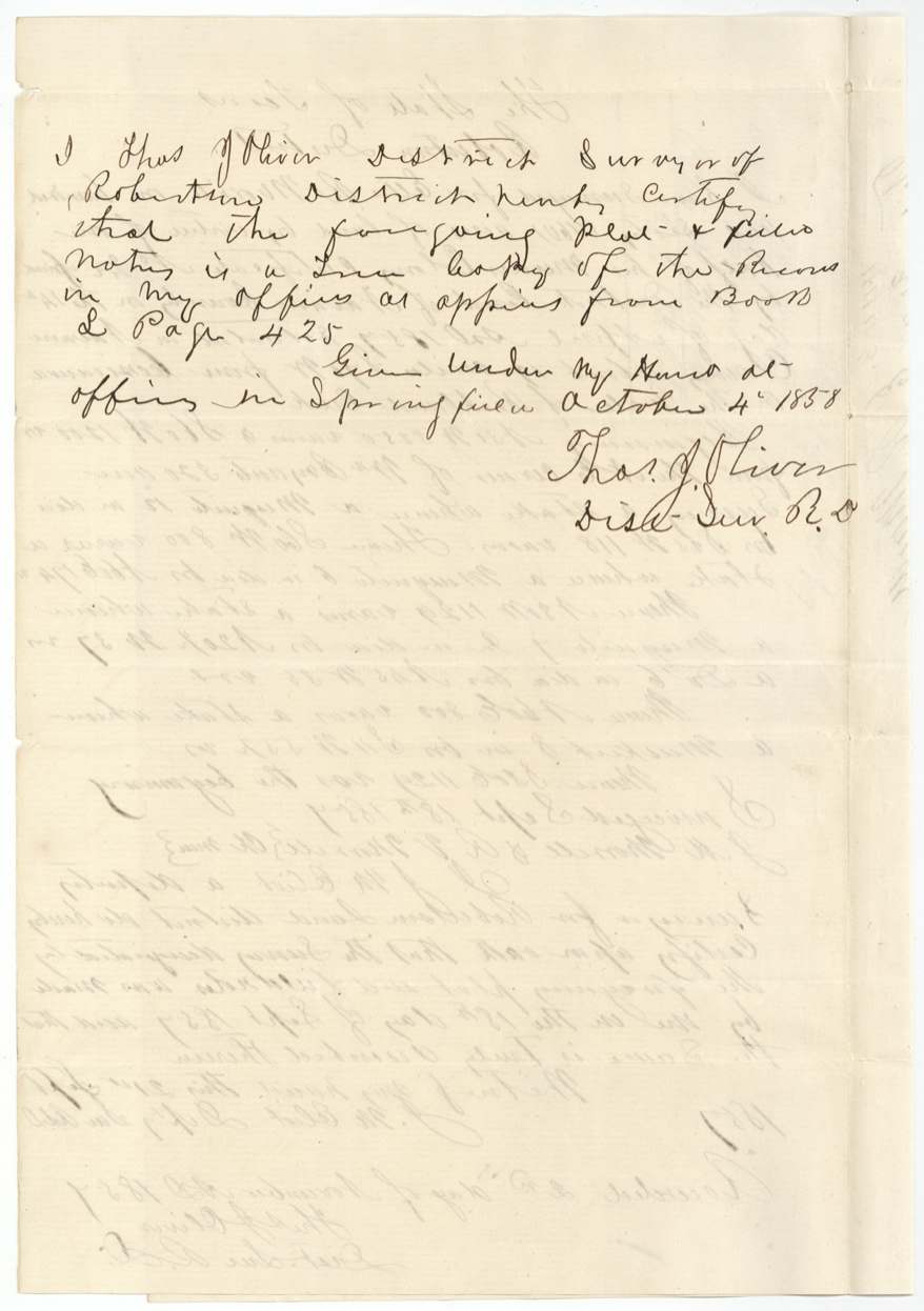
- 4 Oct 1858District Surveyor Oliver certifies a copy at Springfield
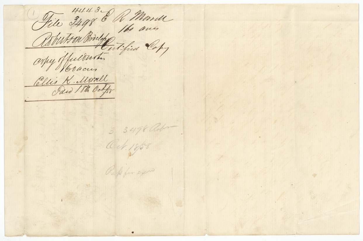
- 18 Oct 1858Copy filed in the GLO under file 3498
- 11 Jun 1859R. V. Morrell, by Robert Morrell, applies to relocate the land; no adverse location
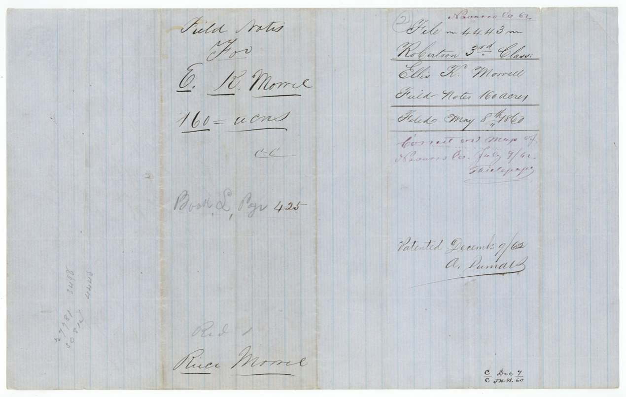
- 8 May 1860Second field notes filed (file 4443)
- 9 Jul 1862Checked correct on Navarro County map
- 9 Dec 1862Patent No. 485 Vol. 36 issued to the heirs of Ellis K. Morrell
The papers in the file
Every page of the Land Office file, in the order the Land Office keeps them (7 pages). Tap a page to see it larger.
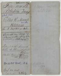 File jacketFile jacket for Ellis K. Morrell's 160-acre Mercer's Colony survey, with map-check and patent notes of 1862.General Land Office, file 4443, page 1 · in the scan
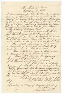 Field notesField notes of 160 acres on Richland Creek surveyed for Ellis K. Morrell by deputy surveyor J. M. Eliot, 18 September 1857.General Land Office, file 4443, page 2 · in the scan
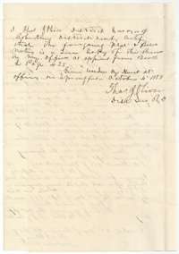 Surveyor's certificateDistrict Surveyor Thos. J. Oliver's certificate of 4 October 1858 that this is a true copy of the Morrell field notes recorded in Book L.General Land Office, file 4443, page 3 · in the scan
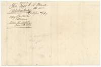 WrapperFiling wrapper for the certified copy of the Morrell field notes, filed October 1858.General Land Office, file 4443, page 4 · in the scan
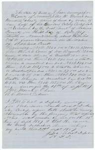 Field notesSecond set of field notes for 160 acres on Richland Creek surveyed for Ellis K. Morrell by J. M. Eliot, 18 September 1857.General Land Office, file 4443, page 5 · in the scan
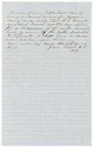 Surveyor's certificateCounty surveyor J. M. Eliot's certificate of 11 June 1859 that a relocation of the Morrell land was applied for and no one else holds it.General Land Office, file 4443, page 6 · in the scan
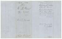 WrapperFiling wrapper for the Morrell field notes of 160 acres, filed 8 May 1860, with a map-check note of 1862.General Land Office, file 4443, page 7 · in the scan
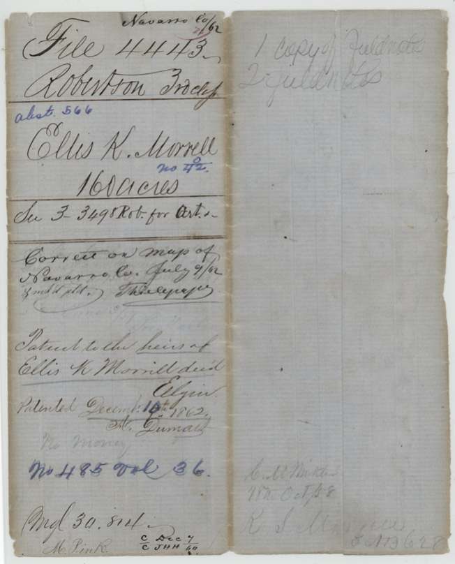
Scans courtesy of the Texas General Land Office, Austin, from its Land Grant Database.
Neighbouring surveys
Sources
- Texas General Land Office, Land Grant Database: Navarro County, Abstract 566
- The Land Office file, scanned (PDF, at the General Land Office)
- 1924 map: courtesy of the Texas General Land Office, Austin, Map 73249, used under licence. Topo: U.S. Geological Survey, The National Map. Aerial photographs: U.S. Department of Agriculture, National Agriculture Imagery Program, 2012, 2018 and 2022. Survey outlines: Railroad Commission of Texas, Original Texas Land Survey. Grant records and files: Texas General Land Office.