Blackland TX · ← All the original surveys
Henry Jones Survey, Abstract 450
- Granted to
- Henry Jones
- Kind of grant
- Land scripLand bought from the Republic with scrip.
- Land Office file
- Robertson Scrip, file 1217
- Certificate
- No. 18/338
- Acres
- 320
- Patented to
- Henry Jones
- Patent
- 07 Mar 1872 · No. 510, Vol. 19
Tap a survey to open its page.
What the file shows
Henry Jones bought two pieces of land scrip from the General Land Office in February 1863, paying $88 each for 160 acres under the 1858 public-domain sale law. Navarro County surveyor J. M. Eliot laid them on the waters of Richland Creek, about 18 miles west-southwest of Corsicana, in August 1863, fitting the tract between the Beauchamp, Weaver, Rainey, Bryant and Navarro County School Land surveys. His notes called for 259 acres, the GLO found closer to 294, and in 1872 county surveyor John W. Irwin filed corrected notes for exactly 320 acres. The patent issued to Henry Jones on March 7, 1872.
The certificate
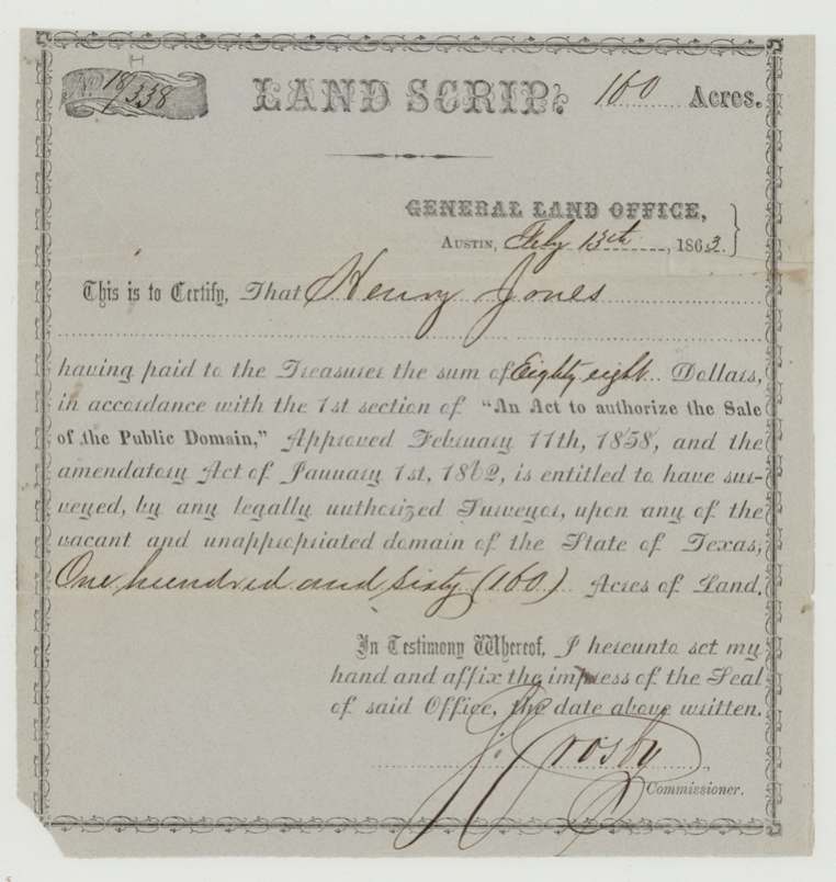
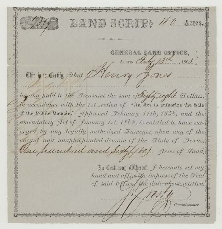
scrip, No. 18/338 and 18/339 (two certificates), 160 each, 320 total, S. Crosby, Commissioner of the General Land Office, General Land Office, Austin, 13 Feb 1863.
Purchased land scrip: Henry Jones paid the Treasurer $88 for each certificate under section 1 of 'An Act to authorize the Sale of the Public Domain' (approved 11 Feb 1858) and the amendatory act of 1 Jan 1862, entitling him to have 160 acres of vacant public domain surveyed
The survey
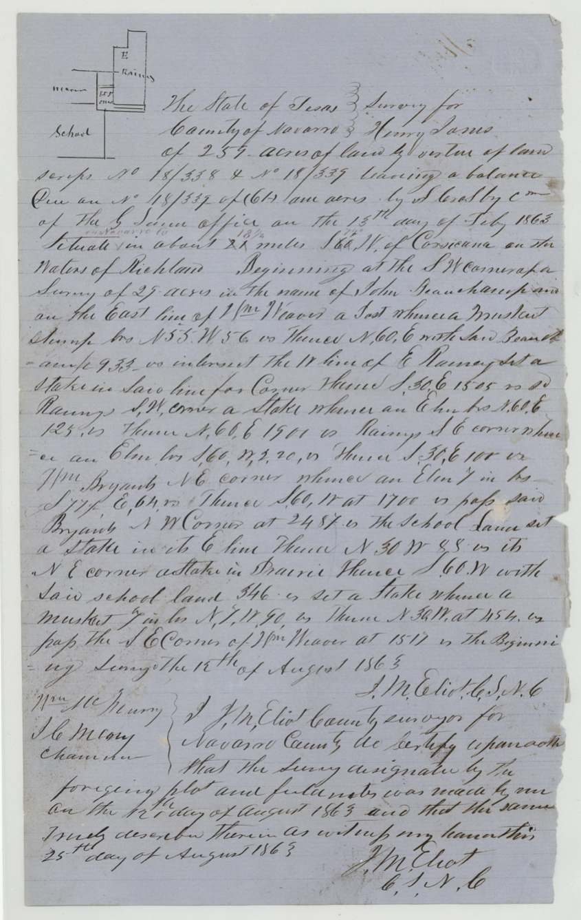
1863-08-12 (certified 1863-08-25), J. M. Eliot, County Surveyor, Navarro County.
Navarro County, on the waters of Richland (Creek); 'about 2[2](?) miles S. 66 W. of Corsicana', corrected in red to '18 1/2 miles S. 74 W.'
Chain carriers: Wm. McMurray, J. C. McMurray.
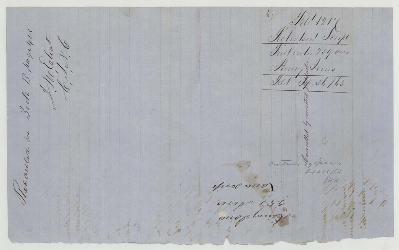
Book B, page 425 (county surveyor's records)
The survey
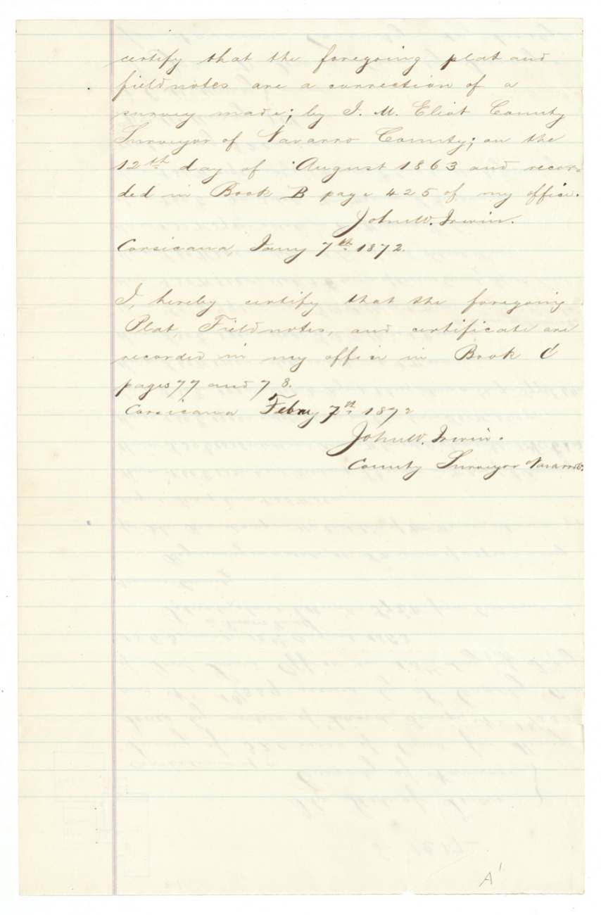
Original survey 1863-08-12; correction certified Corsicana 1872-01-07; recorded 1872-02-07, J. M. Eliot (original work); corrected notes certified by John W. Irwin, County Surveyor, Navarro County.
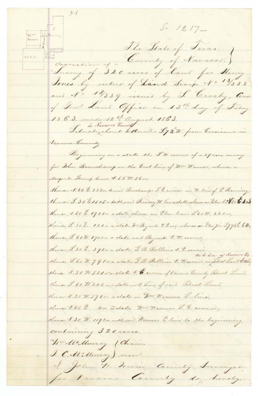
Navarro County, about 18 miles S. 72(?) W. from Corsicana
Chain carriers: Wm. McMurray, J. C. McMurray.
Book C, pages 77 and 78 (correction); original Book B p. 425
The patent
7 Mar 1872, No. 510, Vol. 19, to Henry Jones (original grantee), delivered to not stated.
Also in the file
- The 1863 survey claimed 259 acres, but the Land Office's own check found it actually held about 293 1/2 acres. Nothing happened for eight and a half years; in 1872 the county surveyor filed corrected notes making it 320 acres — exactly what the two scrips paid for — and the patent issued a month later.
- Bought during the Civil War: the scrip was paid for in February 1863 and surveyed that August, under the 1858 public-domain sale law.
- A neighbour's name changes between surveys: 'E. Rainey' in 1863 becomes 'E. Ramirez' in the 1872 correction.
- The distance from Corsicana was revised twice in different hands (about 22(?) miles → 18 1/2 → 18 miles).
Timeline
- 13 Feb 1863GLO Commissioner S. Crosby issues scrip 18/338 and 18/339 (160 acres each) to Henry Jones for $88 apiece
- 12 Aug 1863County surveyor J. M. Eliot surveys 259 acres on the waters of Richland Creek
- 25 Aug 1863Eliot certifies the survey; recorded Book B p. 425
- 26 Sep 1863Scrip and field notes filed in GLO; check finds 293 1/2 acres
- 7 Jan 1872County surveyor John W. Irwin certifies corrected field notes for 320 acres
- 13 Feb 1872Corrected notes filed in GLO; checked correct on Navarro map Feb 14 (C. W. Pressler)
- 7 Mar 1872Patent No. 510, Vol. 19, issued to Henry Jones for 320 acres
The papers in the file
Every page of the Land Office file, in the order the Land Office keeps them (10 pages). Tap a page to see it larger.
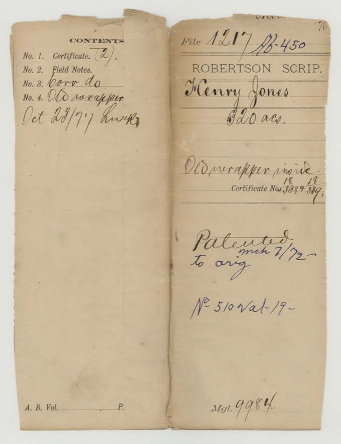
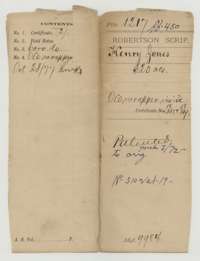 File jacketFile jacket for the Henry Jones land scrip claim, 320 acres, listing the certificates, field notes and corrected field notes.General Land Office, file 1217, page 1 · in the scan
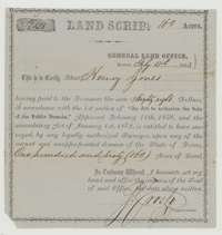 CertificateLand scrip for 160 acres issued by the General Land Office to Henry Jones, who paid $88 under the 1858 public domain sale act.General Land Office, file 1217, page 2 · in the scan
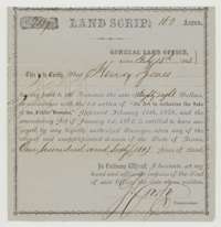 CertificateSecond land scrip for 160 acres issued to Henry Jones on the same terms.General Land Office, file 1217, page 3 · in the scan
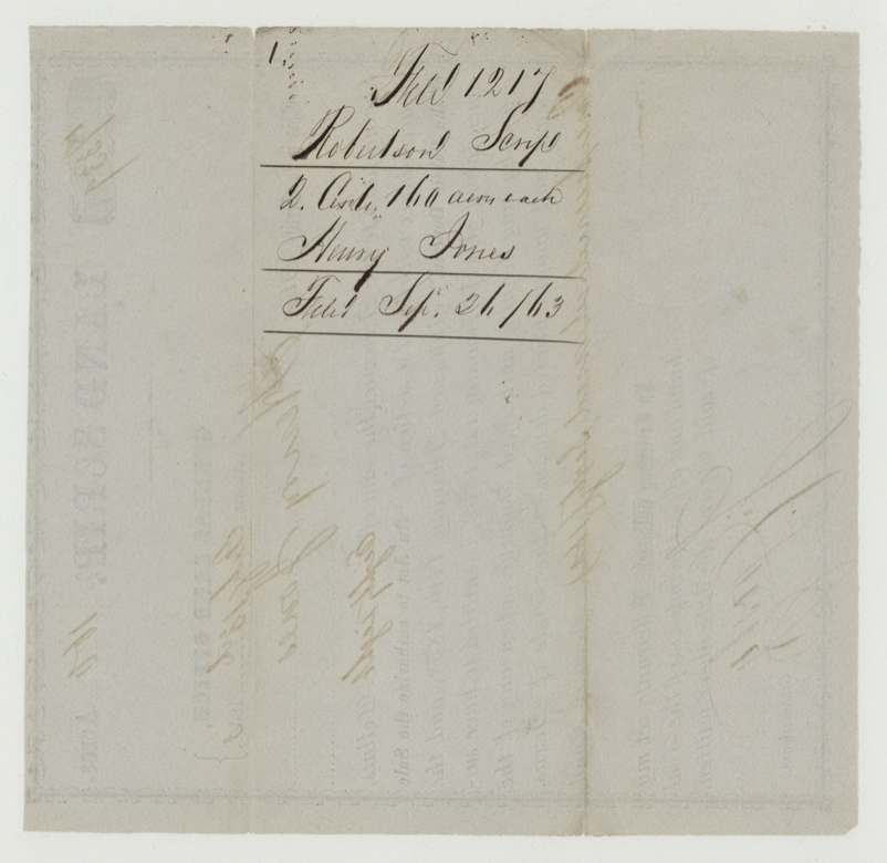
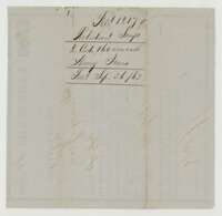 WrapperFiling wrapper for the two scrip certificates, filed 26 September 1863.General Land Office, file 1217, page 4 · in the scan
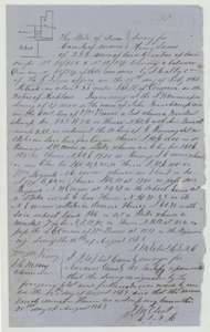 Field notesField notes with a plat for 259 acres on Richland Creek, Navarro County, surveyed for Henry Jones by county surveyor J. M. Eliot, 12 August 1863.General Land Office, file 1217, page 5 · in the scan
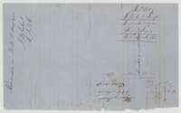 WrapperFiling wrapper for the 1863 field notes, filed 26 September 1863 and recorded in Book B.General Land Office, file 1217, page 6 · in the scan
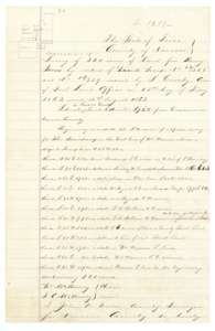 Field notesCorrected field notes with a plat for 320 acres in Navarro County, surveyed for Henry Jones, certified by county surveyor John W. Irwin.General Land Office, file 1217, page 7 · in the scan
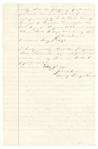 Surveyor's certificateCertificates of 7 January and 7 February 1872 that the corrected plat and field notes are recorded in the county surveyor's records.General Land Office, file 1217, page 8 · in the scan
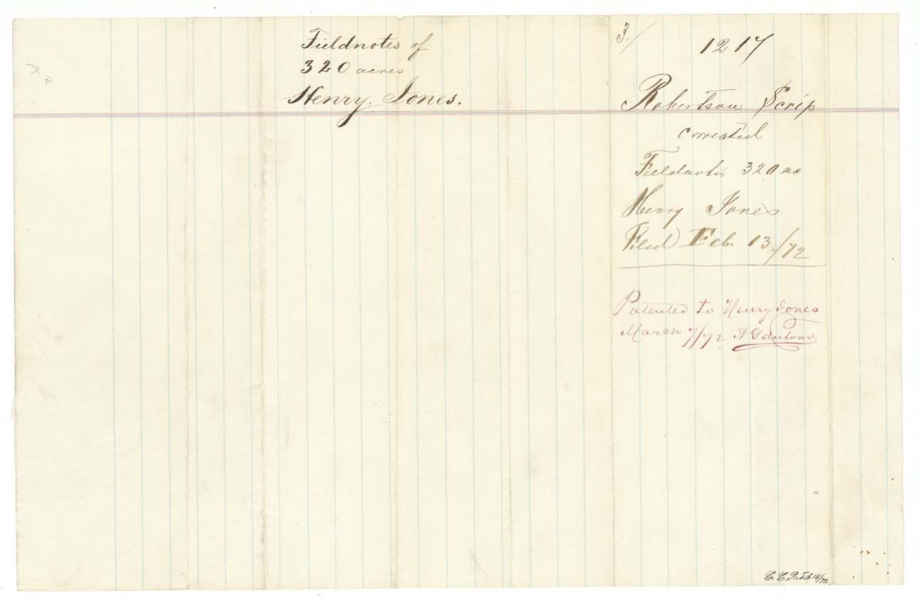
 WrapperFiling wrapper for the corrected field notes, filed 13 February 1872 and marked patented.General Land Office, file 1217, page 9 · in the scan
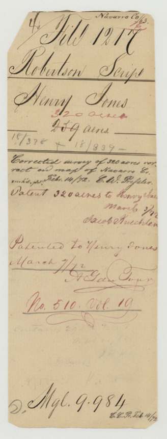
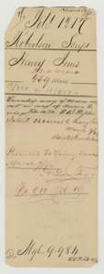 WrapperWrapper for the Henry Jones papers, noting the corrected survey was checked on the Navarro County map and patented 7 March 1872.General Land Office, file 1217, page 10 · in the scan
Scans courtesy of the Texas General Land Office, Austin, from its Land Grant Database.
Neighbouring surveys
Sources
- Texas General Land Office, Land Grant Database: Navarro County, Abstract 450
- The Land Office file, scanned (PDF, at the General Land Office)
- 1924 map: courtesy of the Texas General Land Office, Austin, Map 73249, used under licence. Topo: U.S. Geological Survey, The National Map. Aerial photographs: U.S. Department of Agriculture, National Agriculture Imagery Program, 2012, 2018 and 2022. Survey outlines: Railroad Commission of Texas, Original Texas Land Survey. Grant records and files: Texas General Land Office.